The best walks and hikes around Winnigstedt
4.6
(1079)
3,490
hikers
16
hikes
Hiking around Winnigstedt offers diverse landscapes, situated near the Harz Mountains and the Elm-Lappwald Nature Park. The region features a network of trails winding through forests, meadows, and along the Tiefenbach stream. Elevated areas like Uehrder Berg and Grandberg provide varied terrain, while historical border features add to the area's character.
Best hiking trails around Winnigstedt
- The most popular hiking route is Mattierzoll – Mattierzoll Border Museum loop from Winnigstedt, a 4.5 miles (7.2 km) trail that takes 1…
Last updated: September 29, 2026
5.0
(3)
8
hikers
7.33km
01:52
20m
20m
Easy hike. Great for any fitness level. Easily-accessible paths. Suitable for all skill levels.
4.3
(3)
7
hikers
Moderate hike. Good fitness required. Easily-accessible paths. Suitable for all skill levels.

4.7
(3)
11
hikers
6.37km
01:39
40m
40m
Easy hike. Great for any fitness level. Easily-accessible paths. Suitable for all skill levels.
4.7
(3)
5
hikers
6.23km
01:37
30m
30m
Easy hike. Great for any fitness level. Easily-accessible paths. Suitable for all skill levels.
6
hikers
7.72km
02:00
40m
40m
Easy hike. Great for any fitness level. Easily-accessible paths. Suitable for all skill levels.
Get access to more routes and recommendations from other explorers.
Already have an account?
Our route recommendations are based on thousands of hikes, rides, and runs completed by other people on komoot.
Start today with a free account
Your next adventure awaits.
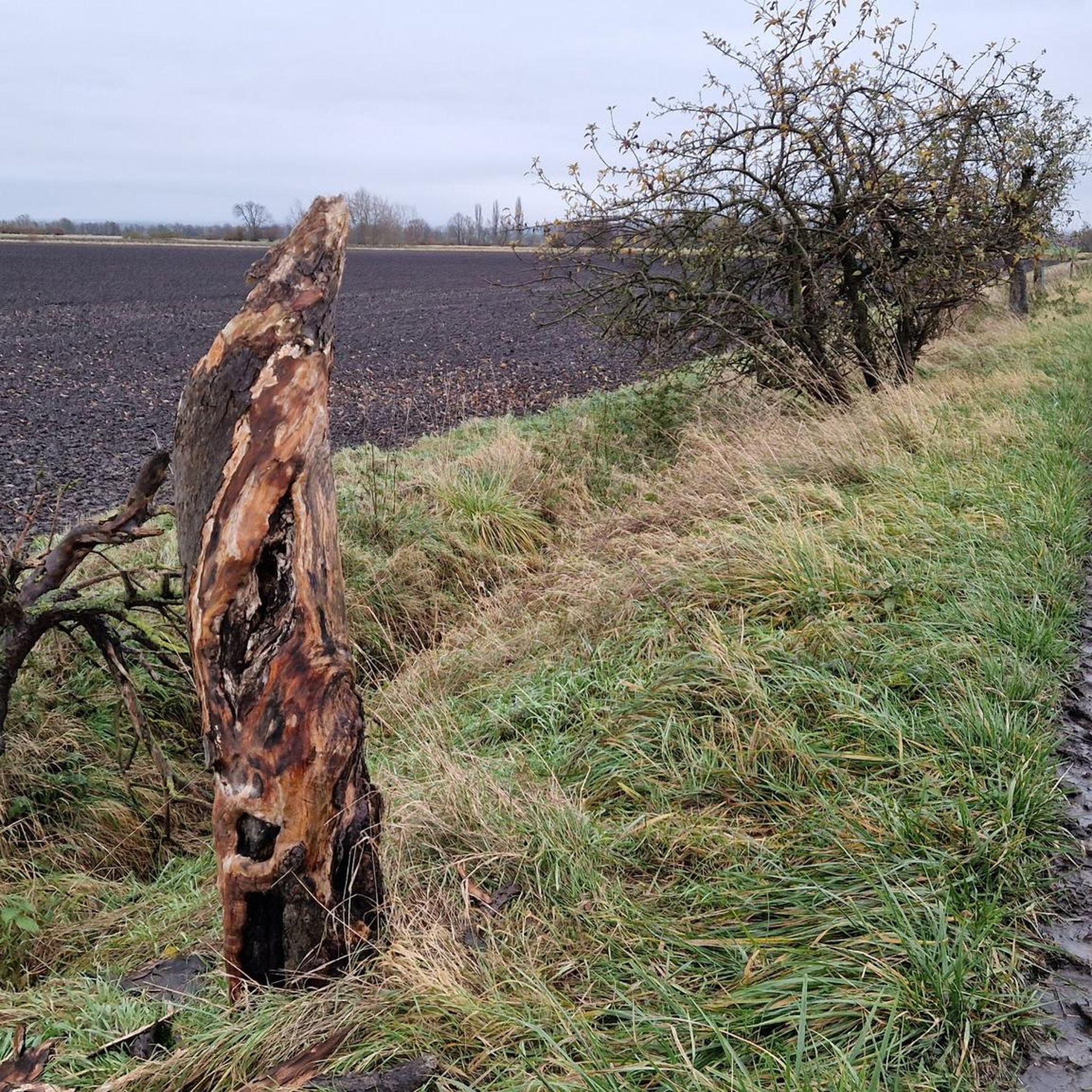
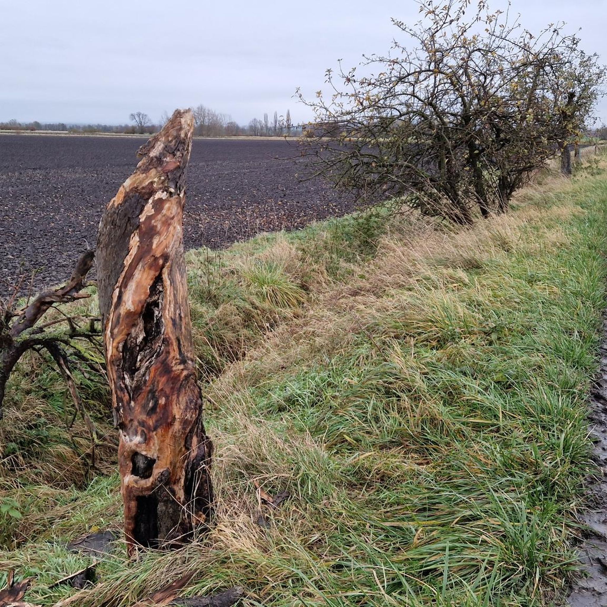
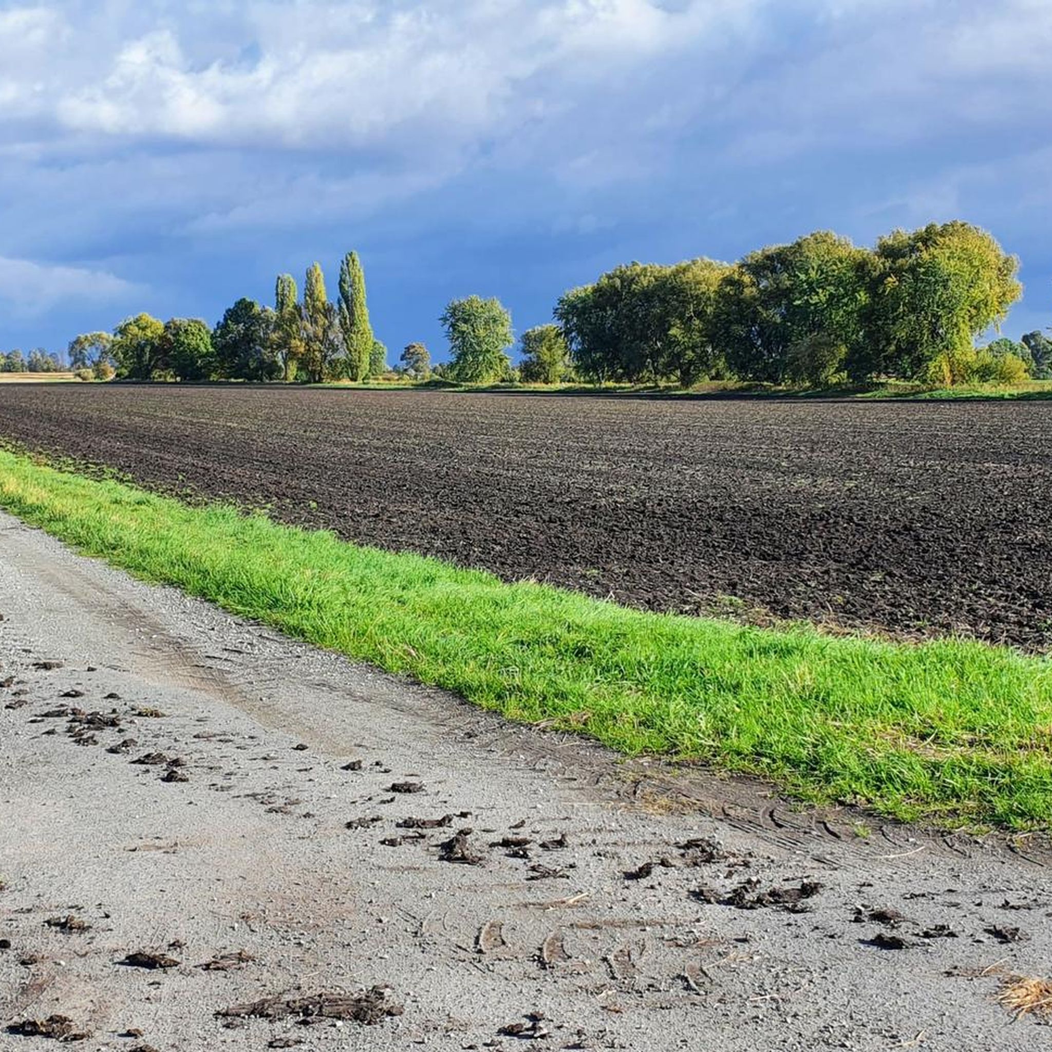
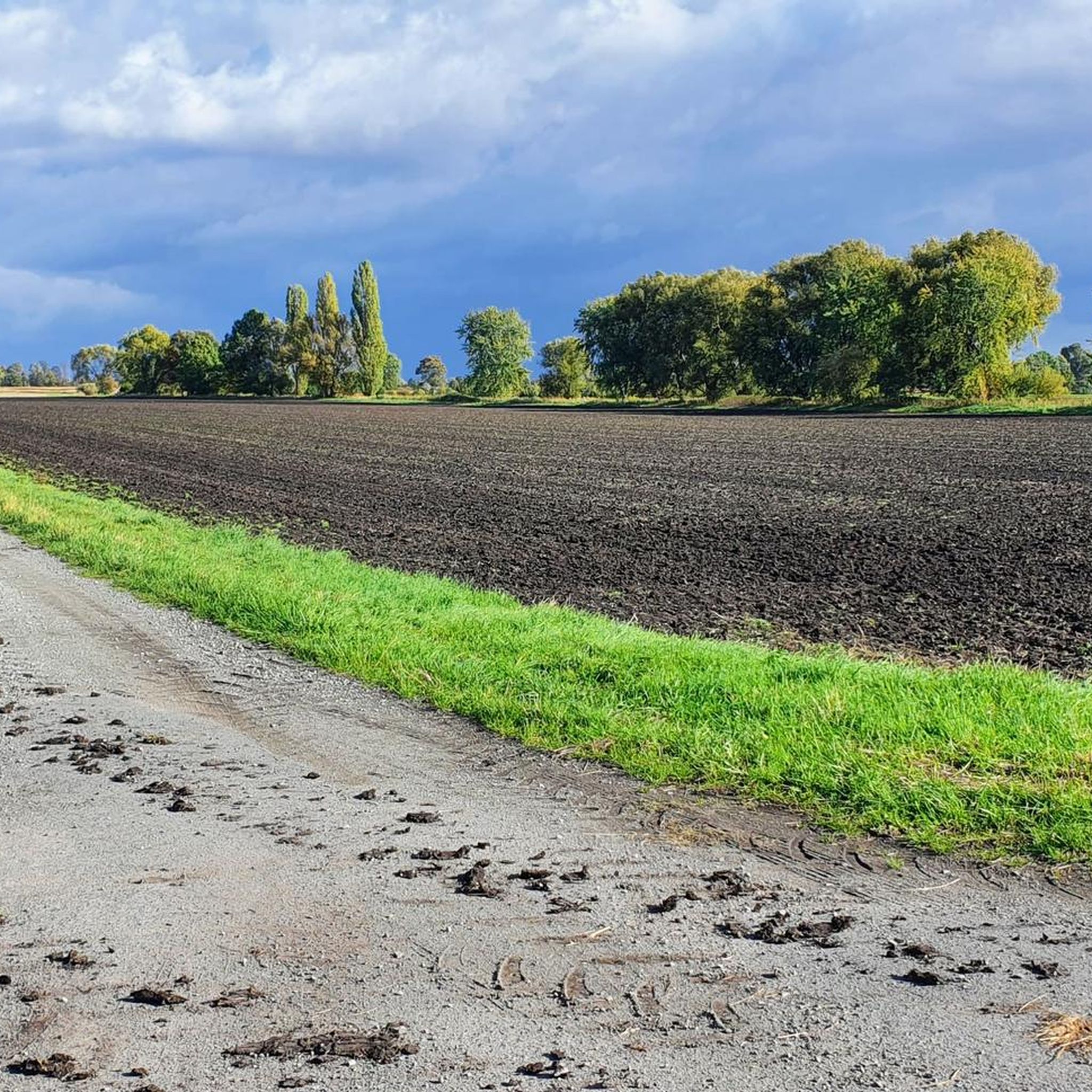
Tips from the Community

Display cases for community and club notices have been set up here. The building next door looks like a very old fire station.
1
0
Here, a staircase leads to the old Brunswick-Schöningen railway. The old railway embankment is now a beautiful sunken lane, and only a few gravel stones along the edge remind us of its former use.
1
0
The church was rebuilt in 1855, retaining the Romanesque tower.
1
0
Here at the insect hotel there is also a sample map and a bench for a break.
1
0
There is also a small parking lot here, you can drive right up.
1
0

Between Mattierzoll (Lower Saxony) and Hesse (Saxony-Anhalt) on the edge of the northern Harz. (Source: https://www. Grenzerinnerungen.de)
0
0
Roklum is a municipality in the district of Wolfenbüttel in Lower Saxony. It belongs to the Elm-Asse municipality, which has its administrative headquarters in the town of Schöppenstedt. (Source: Wikipedia)
1
1
We look after up to 25 children from the age of 2 to the transition to primary school. We work closely with the primary school in Remlingen. Compared to other daycare centers, we have a lot of space. In the listed building there are 3 group rooms, a large hallway, a kitchenette, a small changing room and the toilet. The largely natural outdoor area shines with even more space. Source: https://www.kirche-asse.de)
2
1
Frequently Asked Questions
How many hiking trails are available around Winnigstedt?
Winnigstedt offers a network of over 15 hiking trails. These routes cater to various preferences, ranging from easy strolls to more moderate excursions through diverse landscapes.
What kind of terrain can I expect on hikes near Winnigstedt?
The terrain around Winnigstedt is quite varied, featuring trails that wind through forests, open meadows, and along the tranquil Tiefenbach stream. You'll also encounter elevated areas like the Uehrder Berg and Grandberg, providing gentle ascents and descents. The region is situated near the Harz Mountains and the Elm-Lappwald Nature Park, contributing to its diverse natural landscape.
Are there easy hiking options suitable for beginners or casual walkers?
Yes, Winnigstedt has plenty of easy hiking options. Out of the available routes, 13 are classified as easy. An example is the Large Insect Hotel loop from Winnigstedt, which is approximately 6.2 kilometers long and features minimal elevation changes, making it ideal for a relaxed walk.
Can I find circular hiking routes in Winnigstedt?
Many of the trails around Winnigstedt are designed as circular routes, allowing you to start and end at the same point. For instance, the Hiking loop from Winnigstedt is a 6.4-kilometer trail that takes you through varied local terrain.
What natural features or landmarks can I see while hiking in Winnigstedt?
While hiking, you can explore the scenic Elm-Lappwald Nature Park with its meadows and forests, or follow the Tiefenbach stream. The region is also close to the Harz Mountains. For specific natural highlights, consider visiting the Schöppenstedter Teiche Bird Sanctuary or the Renatured still water pond with rest area.
Are there any historical sites or points of interest along the trails?
Yes, Winnigstedt's trails offer glimpses into history. Many routes traverse the 'Green Belt,' the former inner-German border, where you can find historical border features. The Mattierzoll – Mattierzoll Border Museum loop from Winnigstedt specifically traces part of a former railway line and passes by such historical sites, including the Grenzdenkmal (border memorial) in Mattierzoll. The area also features charming 16th-century half-timbered houses.
Are the hiking trails around Winnigstedt suitable for families with children?
Many trails in Winnigstedt are suitable for families, especially the easy-grade routes with gentle terrain. The Mattierzoll – Roklum loop from Winnigstedt is an easy 7.7-kilometer path that offers a pleasant experience for families, allowing for a comfortable pace and exploration.
Can I bring my dog on the hiking trails in Winnigstedt?
Generally, dogs are welcome on the hiking trails around Winnigstedt. The diverse landscapes of forests and open paths provide ample space for walks with your canine companion. However, it's always advisable to keep dogs on a leash, especially in nature protection areas or near wildlife, and to respect local regulations.
What is the best time of year to go hiking in Winnigstedt?
The best time to hike in Winnigstedt is typically from spring to autumn. During these seasons, the Elm-Lappwald Nature Park and surrounding areas are particularly vibrant, with pleasant temperatures for exploring the trails through meadows and forests. Winter hikes are also possible, offering a different, often quieter, experience, though some paths might be less accessible depending on snow conditions.
What do other hikers enjoy most about hiking in Winnigstedt?
The komoot community highly rates the hiking experience in Winnigstedt, with an average score of 4.6 stars from nearly 500 reviews. Hikers often praise the region's diverse landscapes, the well-maintained trails that cater to various fitness levels, and the unique blend of natural beauty with historical elements, particularly along the former border areas.
Are there any moderate hiking routes for more experienced hikers?
Yes, for those seeking a bit more challenge, Winnigstedt offers several moderate hiking routes. An example is the Mattierzoll Border Museum – Willow Alley on the Green Belt loop from Winnigstedt. This 9.8-kilometer trail explores the historical 'Green Belt' and involves slightly more elevation gain, making it suitable for hikers with good fitness.
Most popular routes around Winnigstedt
Most popular attractions around Winnigstedt

Get inspired with the komoot mobile app


Explore more
Browse the best Hikes in other regions.
