The best running trails around Daresbury
4.3
(151)
14,918
runners
861
runs
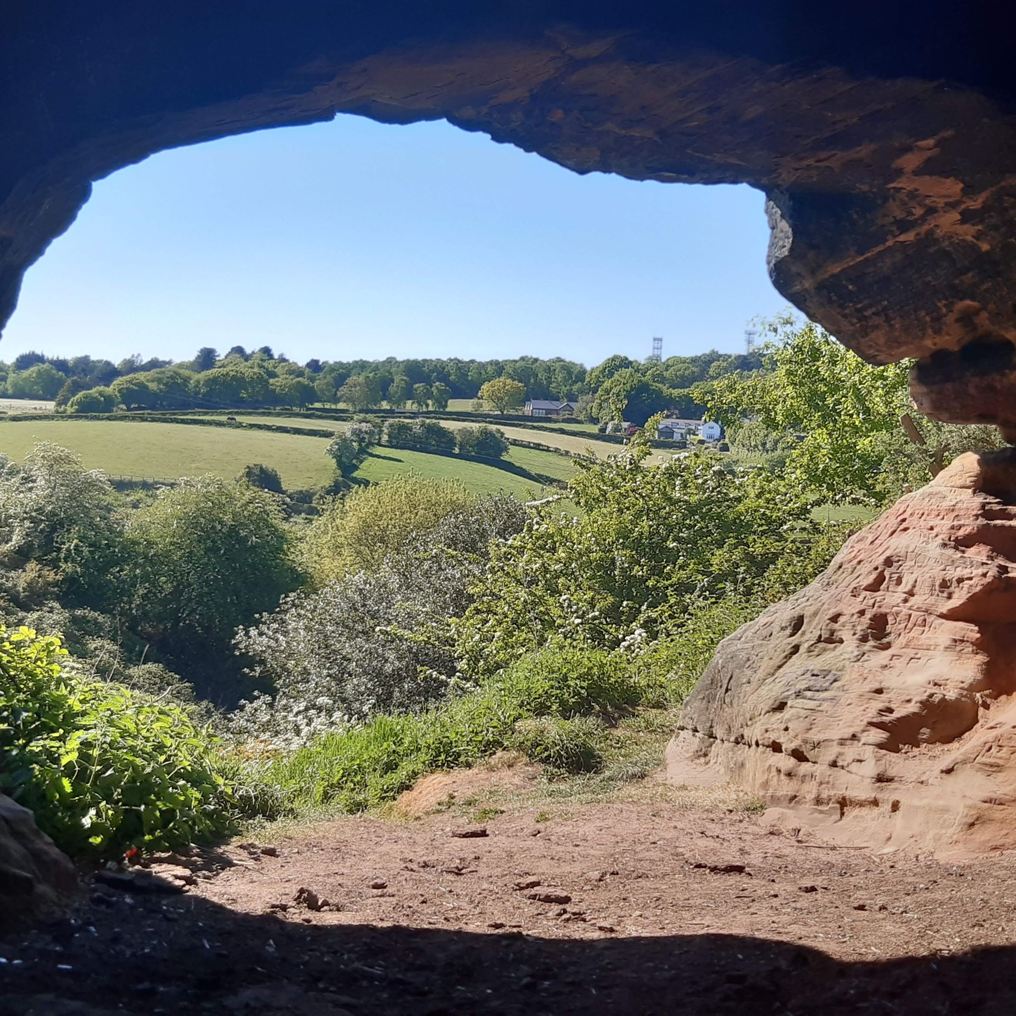
Jogging around Daresbury offers a diverse landscape characterized by a largely rural setting, featuring undulating pastures and arable farming. The area includes numerous copses and woodlands, such as Daresbury Firs and Sandymoor Wood, providing varied running environments. The Bridgewater Canal also forms part of the western boundary, offering linear routes along its towpaths. This blend of open farmland, hedgerows, and scattered woodlands creates a scenic backdrop for outdoor activities.
Best jogging routes around Daresbury
- The most popular jogging route is…
Last updated: August 25, 2026
5.0
(1)
44
runners
21.5km
02:18
110m
110m
Hard run. Very good fitness required. Mostly paved surfaces. Suitable for all skill levels.
30
runners
11.9km
01:14
60m
60m
Moderate run. Good fitness required. Mostly paved surfaces. Suitable for all skill levels.

Sign up for free
24
runners
9.85km
01:02
50m
50m
Moderate run. Good fitness required. Mostly paved surfaces. Suitable for all skill levels.
15
runners
7.78km
00:50
40m
40m
Moderate run. Good fitness required. Mostly paved surfaces. Suitable for all skill levels.
18
runners
5.05km
00:31
20m
20m
Moderate run. Good fitness required. Mostly paved surfaces. Suitable for all skill levels.
Get access to more routes and recommendations from other explorers.
Sign up for free
Already have an account?
Our route recommendations are based on thousands of hikes, rides, and runs completed by other people on komoot.
Start today with a free account
Your next adventure awaits.
Login or Signup

Tips from the Community

Sankey Bridges is part of the Parish of St Barnabas in Warrington, a unitary authority in the north-west of England. Located on the turnpike road between Warrington, Prescot and Liverpool over the Sankey Brook, which was the boundary of Great Sankey and The County Borough of Warrington, it became home to many industries after the opening of the Sankey Canal, the first wholly artificial canal built in England during the Industrial Revolution.
6
0

Coming from the Pennine Trail you can cross the Mersey here and pass over to Warrington on the right river side.
1
0
was constructed in 1916/7 and fell into disuse in approximately 1964. The bridge was constructed to connect the two parts of the large chemical and soap works of Joseph Crosfield and Sons. It was originally designed to carry rail vehicles up to 18 long tons (18 tonnes) in weight, and was converted for road vehicles in 1940. In 1953, it was further modified to carry loads of up to 30 long tons (30 tonnes)
6
0
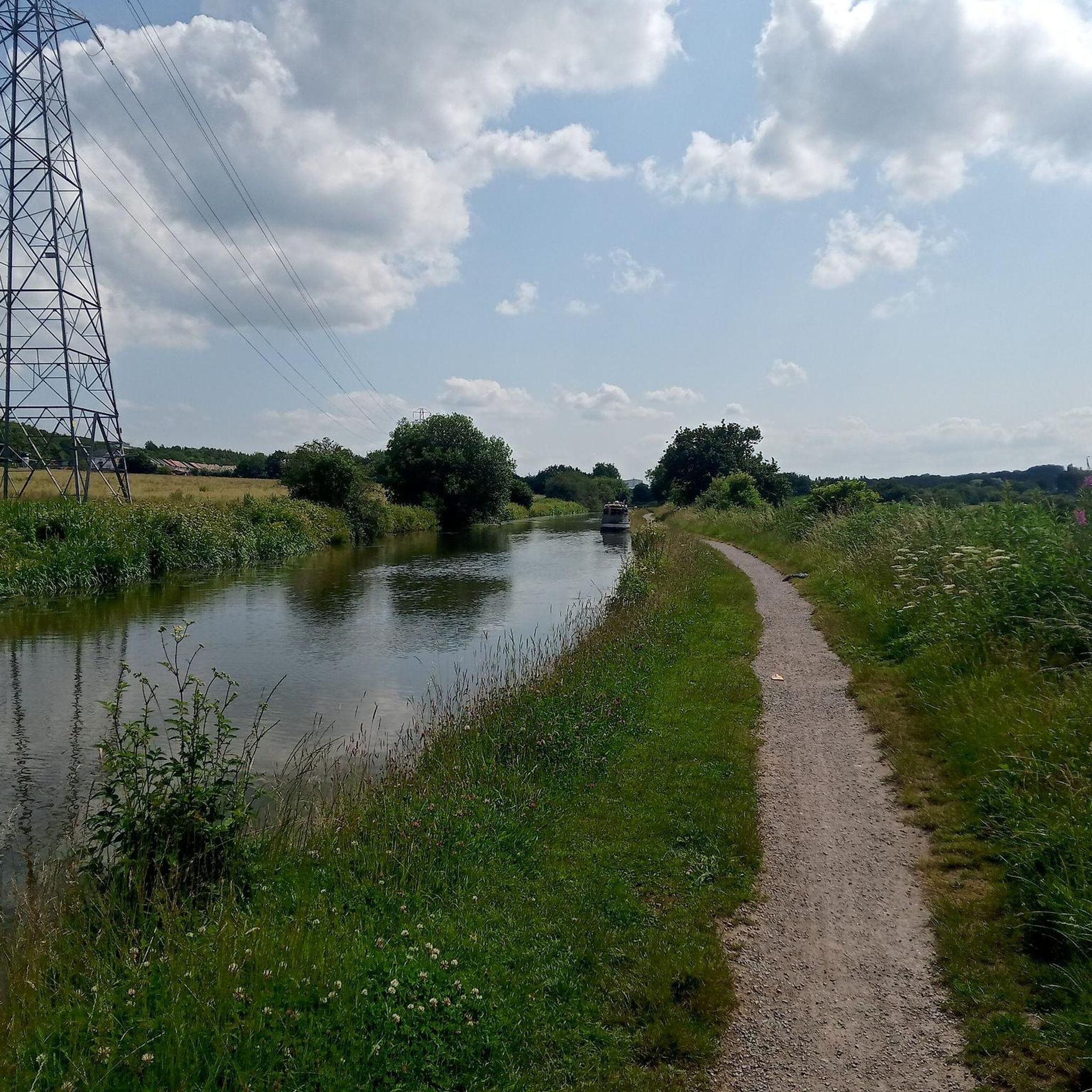
The canal is connected to the Manchester Ship Canal via a lock at Cornbrook; to the Rochdale Canal in Manchester; to the Trent and Mersey Canal at Preston Brook, southeast of Runcorn; and to the Leeds and Liverpool Canal at Leigh. It once connected with the River Mersey at Runcorn but has since been cut off by a slip road to the Silver Jubilee Bridge. Following the re-routing of roads to the Silver Jubilee Bridge, the Runcorn Locks Restoration Society campaigns to reinstate the flight of locks. The Bridgewater canal is described as the first great achievement of the canal age, although the Sankey Canal opened earlier. Bridgewater captured the public imagination because of its engineering feats; it required the construction of an aqueduct to cross the River Irwell, and a tunnel at Worsley. Its success helped inspire a period of intense canal building in Britain, known as Canal Mania. It later faced intense competition from the Liverpool and Manchester Railway and the Macclesfield Canal
0
1
The Bridgewater Canal connects Runcorn, Manchester and Leigh, in North West England. It was commissioned by Francis Egerton, 3rd Duke of Bridgewater, to transport coal from his mines in Worsley to Manchester. It was opened in 1761 from Worsley to Manchester, and later extended from Manchester to Runcorn, and then from Worsley to Leigh.
1
1
Chi Café is a community café and offers lots of activities for local residents, as well as an affordable, delicious menu. From homemade cakes to breakfast and lunch items, there is lots to keep you full of energy, so that you can enjoy the park and surrounding attractions. The address is: Phoenix Park Avenue, Castlefields, Runcorn, WA7 2LW
0
1
The 'Pennine Trail' already brings many visitors to the area and of course this memorial site will encourage people that wish to stroll along this famous trail which eventually leads up to the Carlisle borders. Life for a Life planting areas are natural environments where we encourage wildlife and plantlife to flourish,
2
0
This site is situated at the beginning of the famous 'Pennine Trail' and was officially opened on 6th February 2004 by His Grace, The Duke of Westminster. This extensive site runs towards the banks of the River Mersey and has been refurbished by Life for a Life and United Utilities. Life for a Life in growing partnership with United Utilities, has reclaimed land that was derelict for over many years and has now been put to use for the benefit of the community. The site has a well established footpath through the area, suitable for wheelchair users and the elderly. Many benches have been installed throughout the memorial forest, which can be enjoyed by all visitors.
2
0
Frequently Asked Questions
How many running routes are available in Daresbury?
Daresbury offers a wide selection of running routes, with over 800 trails available on komoot. These routes cater to various fitness levels, from easy jogs to more challenging runs.
What kind of terrain can I expect on the jogging routes in Daresbury?
The running routes in Daresbury feature a diverse landscape. You'll find undulating pastures, open farmland, and numerous woodlands like Daresbury Firs and Sandymoor Wood. Many trails, such as the Sandymoor Wood loop from Daresbury, include mostly paved surfaces, making them accessible. Other areas, like Keckwick Hill, offer elevation changes and natural woodland paths.
Are there family-friendly running routes in Daresbury?
Yes, Daresbury has routes suitable for families. The Sandymoor Wood loop from Daresbury is a moderate 5.1-mile path with mostly paved surfaces, making it accessible for various skill levels and potentially suitable for families. Additionally, the Daresbury Linear Park offers a unique and engaging environment for light jogging.
Can I bring my dog on the running trails in Daresbury?
Many outdoor areas in Daresbury, including woodlands and canal towpaths, are generally dog-friendly. However, it's always recommended to keep dogs under control, especially near livestock or in nature reserves like Moore Nature Reserve, and to check for any specific local signage regarding dog access.
Are there easy jogging routes for beginners in Daresbury?
Yes, Daresbury offers nearly 100 easy running routes. These paths are generally shorter and have less elevation gain, perfect for beginners or those looking for a relaxed jog. The Sandymoor Wood loop from Daresbury is a moderate option with mostly paved surfaces, which can be a good starting point.
What are some challenging running routes in Daresbury?
For those seeking a challenge, Daresbury has over 120 difficult running routes. An example is the Uphill Lamppost Challenge loop from Runcorn East, which is a demanding 19.4-mile trail with significant elevation changes. Another difficult option is the Wildlife on Sankey Canal – Moore Nature Reserve loop from Daresbury, a 13.4-mile run exploring natural settings.
Are there any circular running routes in Daresbury?
Yes, many of the running routes in Daresbury are circular, allowing you to start and finish at the same point. The Fountains Wood – Haddocks Wood loop from Runcorn East is a popular circular option, as is the Murdishaw Woods – Chapel Wood loop from Runcorn East.
What landmarks or natural features can I see along the running routes?
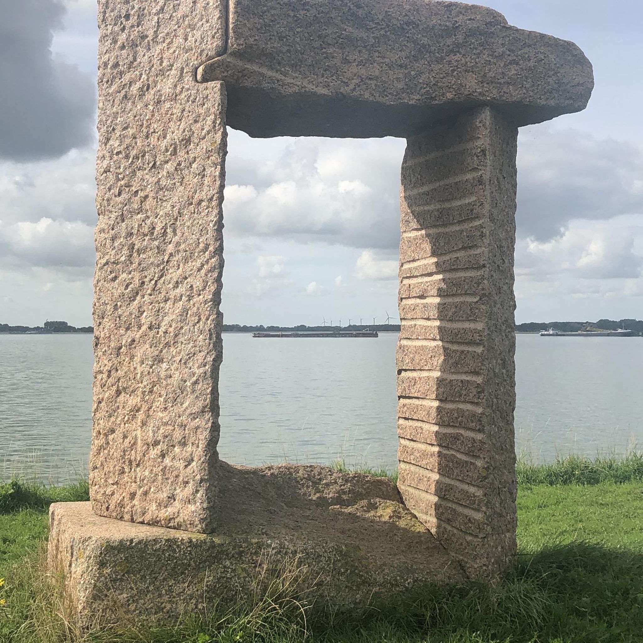
Daresbury's routes offer views of various natural features and attractions. You can explore Daresbury Firs, a commercial forestry plantation and local nature reserve on Keckwick Hill. The Bridgewater Canal also provides scenic linear routes. Nearby attractions include Life for a Life Memorial Forest, Mersey Meadow, and Dream Sculpture. Some routes also pass through or near Hale Duck Decoy Nature Reserve or Lymm Dam.
What do other runners enjoy most about jogging in Daresbury?
The running routes in Daresbury are highly rated by the komoot community, with an average score of 4.4 stars from over 190 reviews. Over 14,900 runners have explored the area. Reviewers often praise the diverse rural character, including open farmland, the scenic Bridgewater Canal, and significant woodlands, which create a varied and enjoyable backdrop for outdoor activities.
Are there any cafes or pubs near the running trails in Daresbury?
While specific cafes or pubs directly on every trail are not listed, Daresbury and its surrounding villages offer local establishments where you can refuel. It's advisable to check local listings for options near your chosen starting or ending point.
Is there parking available for Daresbury running trails?
Given the rural nature of Daresbury and the popularity of its trails, parking is generally available at common starting points or near key attractions. However, specific parking details can vary by route, so it's recommended to check the individual route descriptions on komoot for the most accurate information.
What is the best time of year for running in Daresbury?
Daresbury's varied landscape makes it suitable for running year-round. Spring and autumn offer pleasant temperatures and beautiful scenery with changing foliage. Summer is great for longer daylight hours, while winter runs can be invigorating, especially through the woodlands. Always check local weather conditions before heading out.
Most popular routes around Daresbury
Most popular attractions around Daresbury

Get inspired with the komoot mobile app


Explore more
Browse the best Running Trails & Routes in other regions.
