Stanthorne and Wimboldsley
Stanthorne and Wimboldsley
The best walks and hikes around Stanthorne and Wimboldsley
4.5
(316)
3,504
hikers
300
hikes
Hikes around Stanthorne and Wimboldsley explore the level terrain of the Cheshire Plain. The landscape is defined by its agricultural fields, quiet country lanes, and the historic Trent and Mersey Canal. A key feature of the area is the presence of numerous "flashes," which are lakes formed by historic salt extraction, now providing important wildlife habitats along the footpaths.
Best hiking trails around Stanthorne and Wimboldsley
- The most popular hiking route is the Big Lock Coffee Shop loop from Middlewich…
Last updated: August 25, 2026
4.7
(10)
50
hikers
8.32km
02:08
30m
30m
Moderate hike. Good fitness required. Easily-accessible paths. Suitable for all skill levels.
5.0
(1)
13
hikers
Easy hike. Great for any fitness level. Easily-accessible paths. Suitable for all skill levels.

Sign up for free
10
hikers
5.18km
01:19
10m
10m
Easy hike. Great for any fitness level. Easily-accessible paths. Suitable for all skill levels.
5.0
(1)
3
hikers
Moderate hike. Good fitness required. Easily-accessible paths. Suitable for all skill levels.
3.0
(1)
4
hikers
3.22km
00:49
10m
10m
Easy hike. Great for any fitness level. Easily-accessible paths. Suitable for all skill levels.
Get access to more routes and recommendations from other explorers.
Sign up for free
Already have an account?
Our route recommendations are based on thousands of hikes, rides, and runs completed by other people on komoot.
Start today with a free account
Your next adventure awaits.
Login or Signup
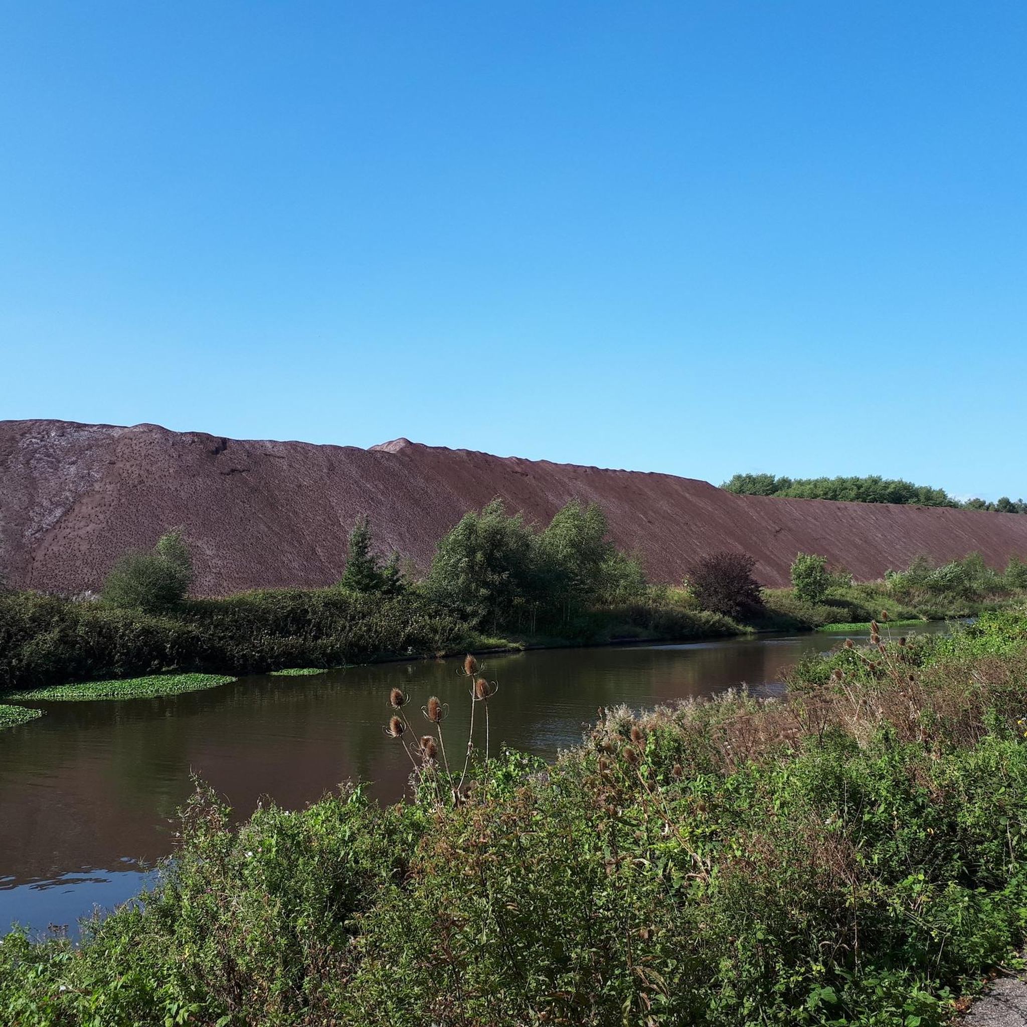
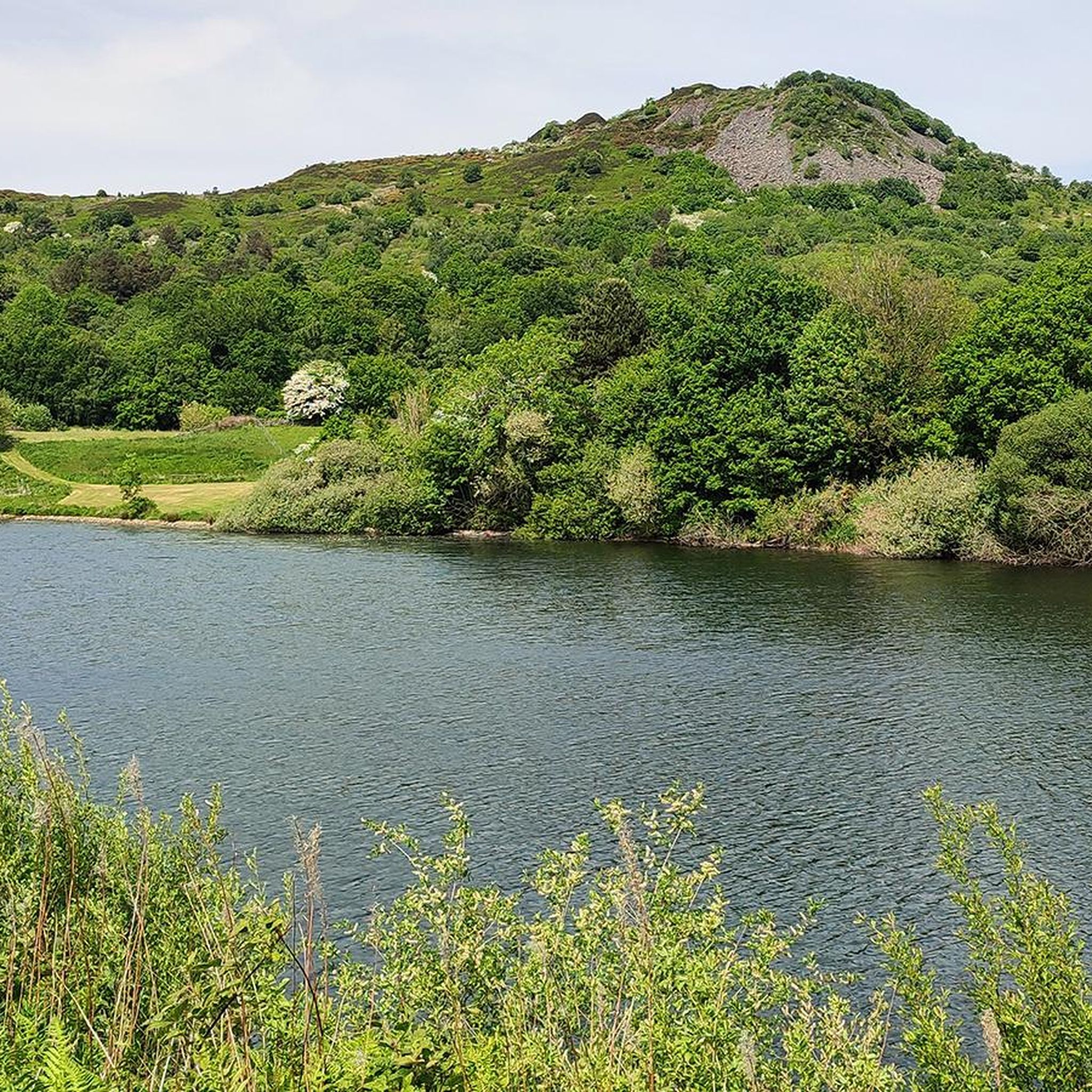

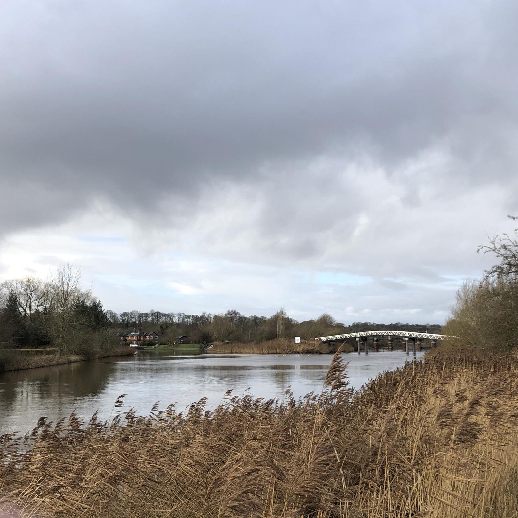

Tips from the Community


Easy to miss this tiny gap on a busy bridge. You’ll need to carry up or down.
0
0
Be prepared to carry your bike up or down the stairs of this official Sustrans route.
0
0

Nice little village can get quite busy
1
0

This scenic pathway extends gracefully through Cheshire countryside, providing a lengthy and level route to enjoy a run. Along the way, an array of bridge designs stand as captivating showcases of architectural variety, adding to the charm of your journey.
1
0

very easy dinner time walk, no major fitness requirement.
0
0

Lovely relaxing rest stop at Middlewich. Gluten free carrot cake was delicious. Good selection of other foods too.
0
0

Middlewich is a historic town in the heart of Cheshire. A place with a rich heritage, you can explore Roman remains, see the canals and buildings from the industrial revolution, and wander through medieval streets. There is a good range of accommodation in the town, as well as places for food and drink, making it a good place for a pitstop or an overnight stay.
1
0
Frequently Asked Questions
What is the general terrain like for hiking around Stanthorne and Wimboldsley?
The hiking here is predominantly flat, following the gentle landscape of the Cheshire Plain. You can expect to walk along well-maintained canal towpaths, quiet country lanes, and public footpaths that cross agricultural fields. A unique feature is the network of paths around the 'flashes'—lakes formed from historic salt extraction.
Are the hiking trails suitable for dogs?
Yes, many trails in the area are great for walking with dogs. The level towpaths along the Trent and Mersey Canal and the paths on the Salt Line and Wheelock Rail Trail are particularly suitable. However, always be prepared to encounter livestock in fields and keep your dog on a lead where required.
Can I get to the trails using public transport?
Accessing the trailheads directly via public transport can be challenging as Stanthorne and Wimboldsley are small hamlets. The nearby towns of Middlewich, Winsford, and Sandbach have better bus and rail connections. From there, you may need a short taxi ride or a walk to reach the start of many rural routes.
Where can I find parking for the walks?
For many rural footpaths, parking is often limited to informal lay-bys or on-street parking in villages, so please park considerately. For routes starting in nearby towns like Middlewich, you will find dedicated public car parks. Some popular trailheads, like those for the Salt Line, also have designated parking areas.
Are there any easy, family-friendly walks?
Absolutely. The flat terrain makes this area ideal for families. A great option is The Moat loop from Warmingham, which is a relatively short and easy walk through the countryside. The towpaths along the Trent and Mersey Canal also offer safe, level walking for all ages.
What kind of wildlife might I see while hiking?
The Sandbach Flashes, which are a key feature of many local walks, are designated as Sites of Special Scientific Interest due to their importance for birdlife. You can expect to see a variety of waterfowl and wading birds. The canal and surrounding farmland also provide habitats for birds, small mammals, and insects.
Are there any walks that include a stop at a pub?
Yes, several routes can be planned to include a pub. Many walks start or pass through towns like Middlewich, which has several pubs and cafes near the canal. Planning a route that loops back to a village or town centre is the best way to ensure you can finish your hike with some refreshments.
What are the main natural features to see on a walk?
The two most prominent features are the Trent and Mersey Canal, with its historic locks and narrowboats, and the numerous 'flashes'. These lakes, such as Moston Flash and Elton Hall Flash, were created by salt mining subsidence and are now beautiful nature spots. The Croxton Flash – Heron's Reach on the River loop from Middlewich is a longer route that showcases these distinctive landscapes.
How many hiking trails are there in the Stanthorne and Wimboldsley area?
There is a wide variety of options to explore, with nearly 300 routes available on komoot. The majority of these are rated as easy, making the region very accessible, but there are also over 100 moderate trails for those seeking a bit more of a challenge.
What do other hikers say about the routes here?
The routes around Stanthorne and Wimboldsley are highly rated by the komoot community, with an average score of 4.5 stars. Hikers often praise the peaceful canal-side walking, the unique scenery around the flashes, and the easy, level paths that are perfect for a relaxing day out.
Are there any long-distance trails that pass through the area?
While major national trails don't pass directly through the hamlets, the area's network of footpaths and canal towpaths allows for creating your own long-distance routes. The nearby Salt Line and Wheelock Rail Trail is a popular traffic-free route, and the Trent and Mersey Canal towpath itself offers miles of continuous walking.
Most popular routes around Stanthorne and Wimboldsley
Most popular attractions around Stanthorne and Wimboldsley

Get inspired with the komoot mobile app


Explore more
Browse the best Hikes in other regions.
