The best road cycling routes around Culcheth And Glazebury
4.6
(196)
9,004
riders
374
rides
Road cycling routes around Culcheth And Glazebury traverse a landscape characterized by low elevations, canal paths, and open countryside. The area offers a mix of rural roads and routes that pass through local villages and parklands. Road cyclists can expect mostly flat to gently undulating terrain, making it suitable for various skill levels.
Best road cycling routes around Culcheth And Glazebury
- The most popular road cycling route is Great Budworth Village – Acton Swing Bridge loop from Glazebrook, a…
Last updated: May 25, 2026
5.0
(2)
40
riders
75.4km
03:09
430m
430m
Moderate road ride. Good fitness required. Some segments of this route may be unpaved and difficult to ride.
40
riders
83.1km
03:23
340m
340m
Moderate road ride. Good fitness required. Mostly well-paved surfaces and easy to ride.

Sign up for free
31
riders
Easy road ride. Great for any fitness level. Mostly well-paved surfaces and easy to ride.
22
riders
67.2km
03:26
290m
290m
Moderate road ride. Good fitness required. Some segments of this route may be unpaved and difficult to ride.
17
riders
Moderate road ride. Good fitness required. Mostly well-paved surfaces and easy to ride.
Get access to more routes and recommendations from other explorers.
Sign up for free
Already have an account?
Our route recommendations are based on thousands of hikes, rides, and runs completed by other people on komoot.
Start today with a free account
Your next adventure awaits.
Login or Signup
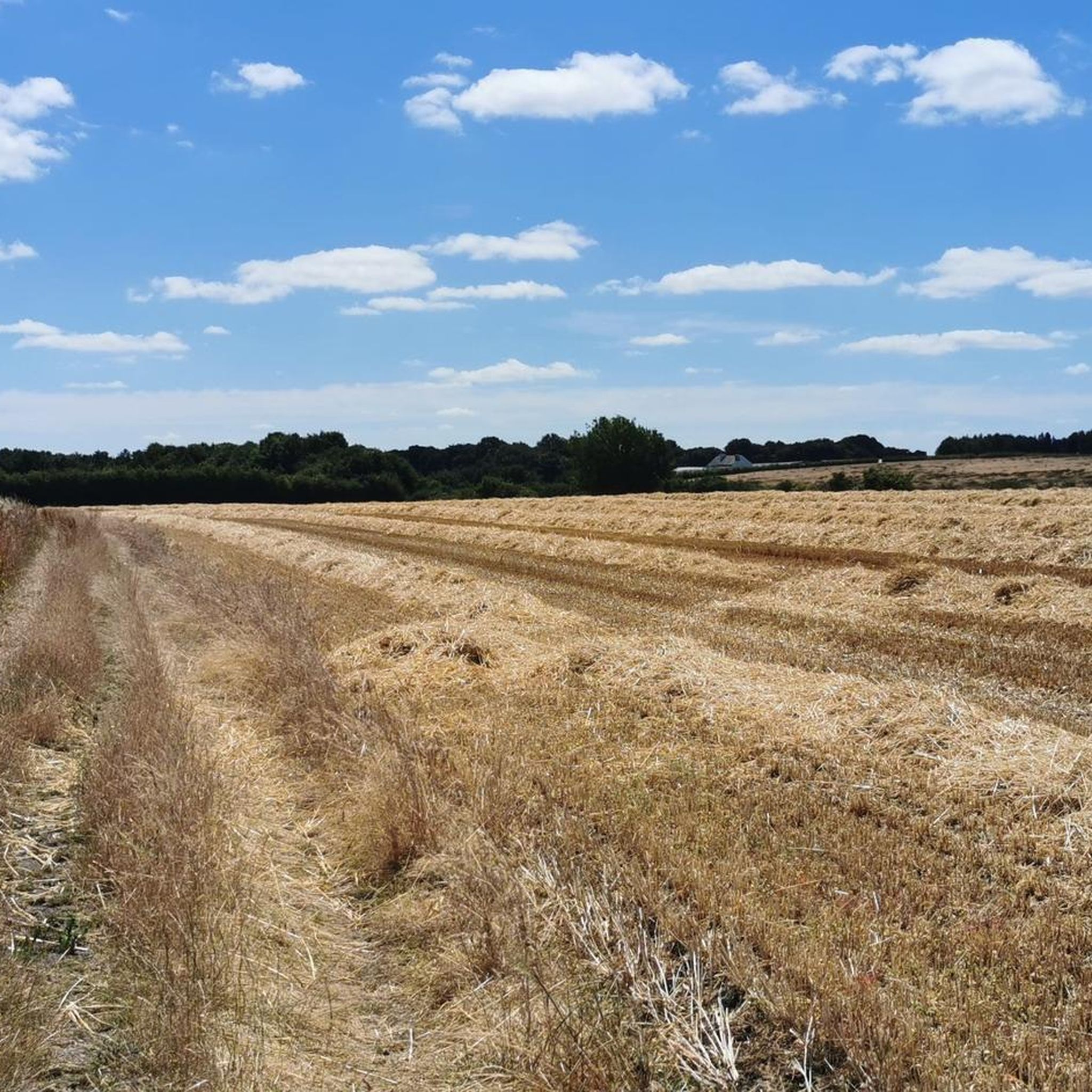
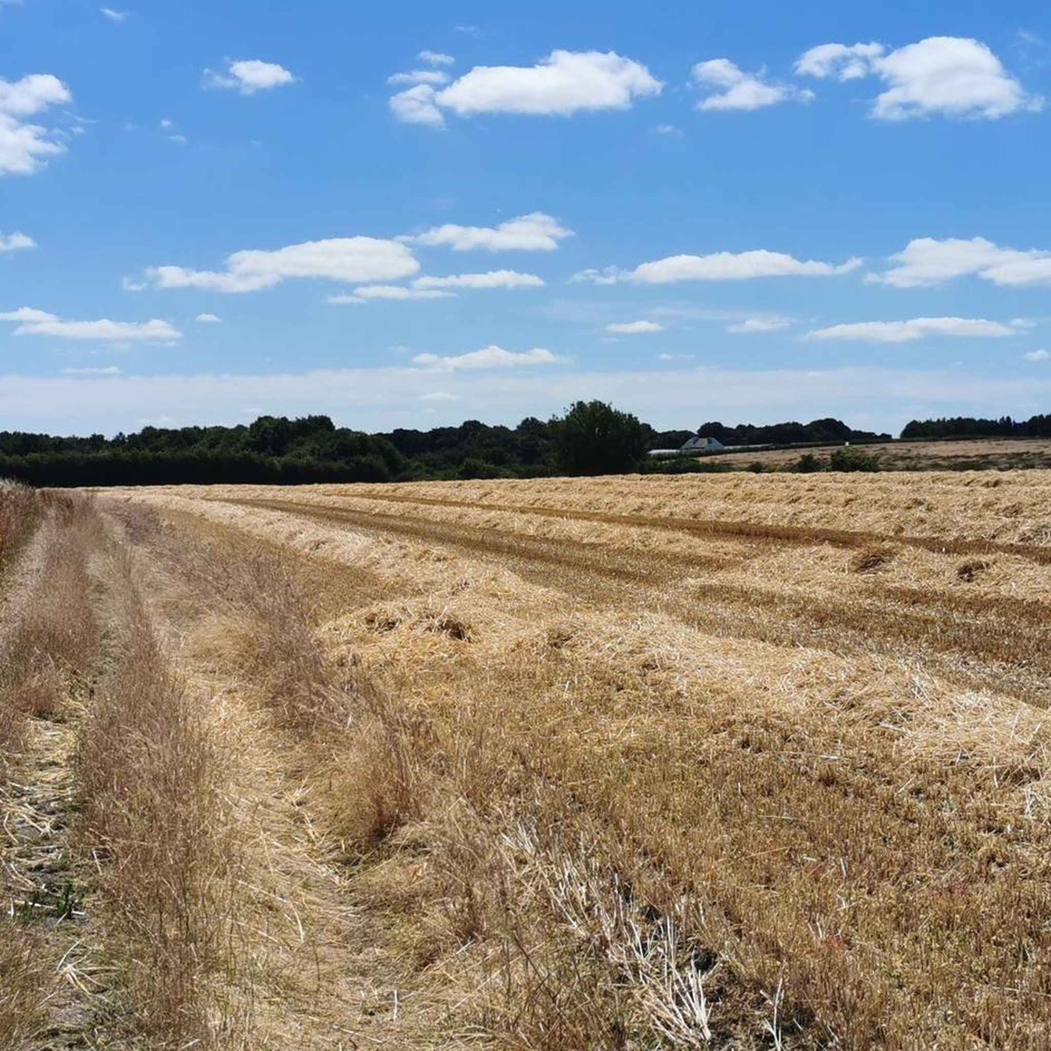
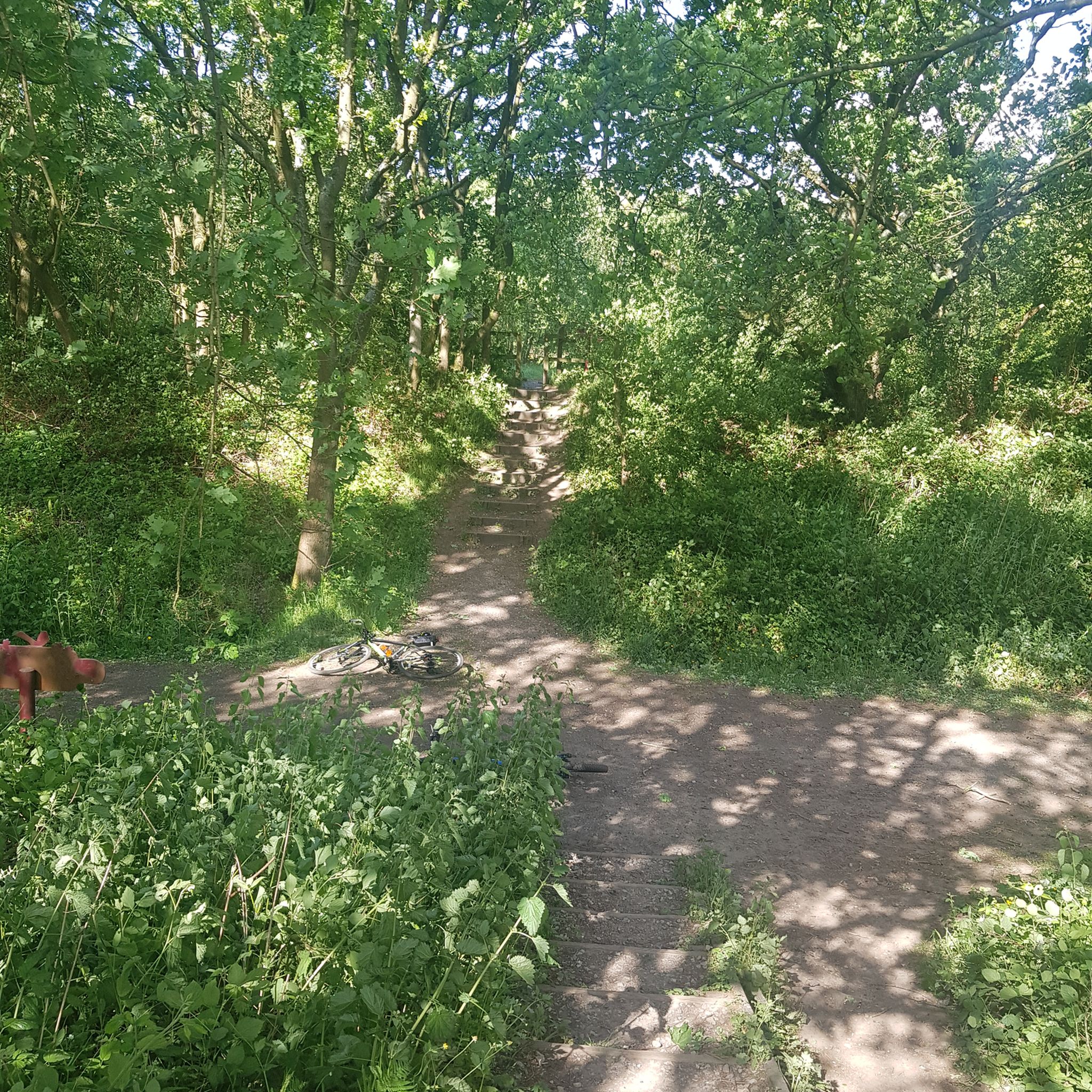
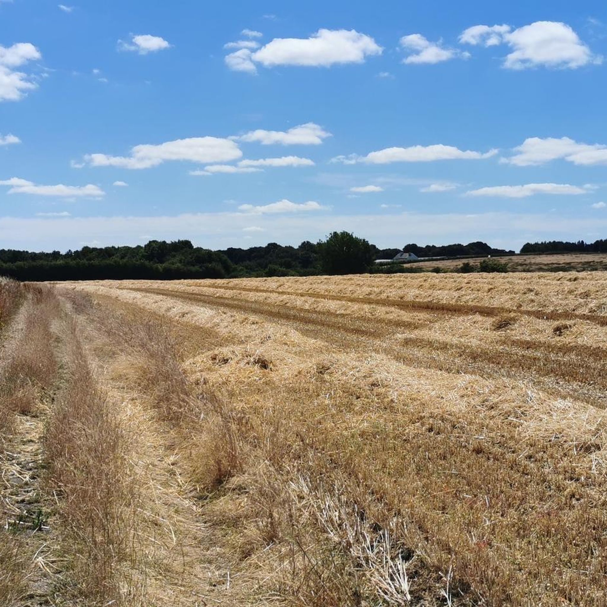

Tips from the Community


Worth it so you can say you’ve ridden over. Roadworks on-going so you have to keep to the road rather than a footpath
0
0


Free for bikes hooray!
0
0

Bridgewater Canal
1
0

road is been resurfaced, busy during rush-hour
0
0

Sankey Bridges is part of the Parish of St Barnabas in Warrington, a unitary authority in the north-west of England. Located on the turnpike road between Warrington, Prescot and Liverpool over the Sankey Brook, which was the boundary of Great Sankey and The County Borough of Warrington, it became home to many industries after the opening of the Sankey Canal, the first wholly artificial canal built in England during the Industrial Revolution.
6
0
Frequently Asked Questions
How many road cycling routes are available in Culcheth And Glazebury?
There are over 380 road cycling routes documented on komoot for the Culcheth And Glazebury area, offering a wide range of options for different skill levels and preferences.
What kind of terrain can I expect on road cycling routes in Culcheth And Glazebury?
The landscape around Culcheth And Glazebury is characterized by low elevations, canal paths, and open countryside. You can expect mostly flat to gently undulating terrain, with routes passing through rural roads, local villages, and parklands.
Are there easy road cycling routes suitable for beginners in Culcheth And Glazebury?
Yes, the area offers a good selection of easy routes. For instance, the McDee’s Coffee Shop – Oscar's Place loop from Leigh Sports Village Stadium is an easy 11.5-mile (18.4 km) ride with minimal elevation gain, perfect for a relaxed outing.
Can I find long-distance road cycling trails near Culcheth And Glazebury?
Absolutely. For those seeking longer rides, routes like the Tatton Park – Tatton Mere loop from Glazebrook cover over 51 miles (83 km) and take you through scenic parkland and past lake views. Another excellent option is the Great Budworth Village – Acton Swing Bridge loop from Glazebrook, which is nearly 47 miles (75 km) long.
Are there any challenging road cycling routes in the area?
While the region is generally known for its gentle terrain, some routes offer more significant distances and moderate elevation gains for a greater challenge. For example, the View of Mersey Gateway Bridge – Boat Yard loop from Glazebrook is a moderate 41.5-mile (66.8 km) route that provides a good workout with varied scenery.
What do other cyclists enjoy most about road cycling in Culcheth And Glazebury?
The area is highly rated by the komoot community, with an average score of 4.6 stars from over 180 reviews. Cyclists often praise the quiet rural roads, picturesque canal-side paths, and the accessibility of routes that showcase local villages and open countryside.
Are there circular road cycling routes available?
Yes, many of the road cycling routes in Culcheth And Glazebury are designed as loops, allowing you to start and finish at the same point. Examples include the popular View of Bridgewater Canal – The Farm Club loop from Culcheth and the Great Budworth Village – Acton Swing Bridge loop from Glazebrook.
What attractions or points of interest can I see along the road cycling routes?
Many routes offer views of local landmarks and natural beauty. You might pass by the Trans Pennine Trail: Bridgewater Canal Section, offering scenic canal-side riding. Other notable spots include Dunham Massey Hall and Deer Park, or natural areas like Scotman's Flash and Lymm Dam.
Are there places to stop for refreshments like cafes or pubs along the routes?
Yes, the routes often pass through or near local villages where you can find cafes and pubs. The area is dotted with establishments that cater to cyclists, providing opportunities for a coffee break or a meal, especially in villages like Lymm or near Tatton Park.
What is the best time of year for road biking in Culcheth And Glazebury?
The spring and summer months (April to September) generally offer the most pleasant conditions for road cycling, with milder temperatures and longer daylight hours. However, the relatively flat terrain means that many routes are accessible year-round, weather permitting.
Is public transport available to access road cycling routes in Glazebury?
Glazebury and surrounding areas are served by local bus routes, which can provide access to various starting points for rides. For longer journeys, nearby train stations like Glazebrook offer connections, though it's advisable to check specific operator policies regarding bicycles on public transport.
Where can I find parking for road cycling trails in Culcheth And Glazebury?
Parking is generally available in the villages of Culcheth and Glazebury, often near local amenities or designated public car parks. When planning your route, it's recommended to check specific starting points for available parking facilities, especially for longer rides or popular trailheads.
Most popular routes around Culcheth And Glazebury
Most popular attractions around Culcheth And Glazebury

Get inspired with the komoot mobile app


Explore more
Browse the best Road cycling routes in other regions.
