The best road cycling routes around Ottenschlag
4.7
(15)
627
riders
66
rides
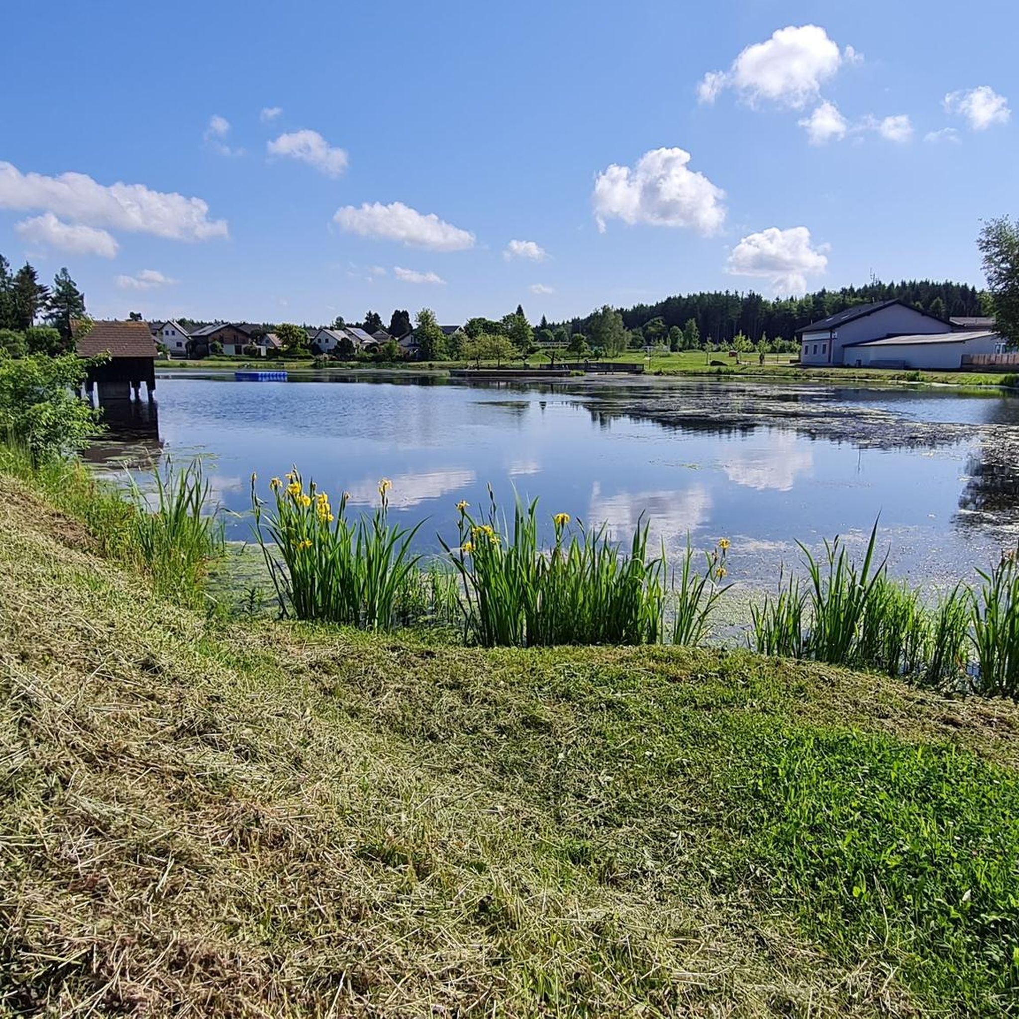
Road cycling routes around Ottenschlag traverse the rolling hills and forested landscapes of the Waldviertel region in Lower Austria. The area is characterized by a mix of open fields, dense woodlands, and river valleys, offering varied terrain for cyclists. The length of road bike routes near Ottenschlag varies significantly, from shorter loops to longer, more challenging rides. This region provides diverse options for road cyclists of all abilities.
Best road cycling routes around Ottenschlag
- The most popular road cycling route…
Last updated: July 5, 2026
27
riders
55.2km
03:23
1,430m
1,430m
Hard road ride. Very good fitness required. Mostly well-paved surfaces and easy to ride.
15
riders
102km
04:55
1,380m
1,380m
Hard road ride. Very good fitness required. Mostly well-paved surfaces and easy to ride.

Sign up for free
17
riders
47.6km
02:29
840m
840m
Moderate road ride. Good fitness required. Some segments of this route may be unpaved and difficult to ride.
6
riders
101km
04:52
1,440m
1,440m
Hard road ride. Very good fitness required. Mostly well-paved surfaces and easy to ride.
7
riders
Moderate road ride. Good fitness required. Mostly well-paved surfaces and easy to ride.
Get access to more routes and recommendations from other explorers.
Sign up for free
Already have an account?
Our route recommendations are based on thousands of hikes, rides, and runs completed by other people on komoot.
Start today with a free account
Your next adventure awaits.
Login or Signup
Tips from the Community

Drinking water fountain, which can be used on warm days as a wonderful opportunity to cool down and refill bottles
0
0

Otherwise only released for agricultural vehicles
0
0

Arbesbach Castle is a top highlight that you should definitely plan a visit to. Even from a distance, you can recognize the so-called "Waldviertel's fang" (Stockzahn des Waldviertels). Once you arrive at the site, 126 steps lead up to the entrance where admission (currently €2.50) is payable in coins or by card. Then it continues inside upwards to the platform, which offers a fantastic view. There is also a circular path around the tower, which however requires some surefootedness and suitable shoes.
0
0

The local authorities succeeded in persuading the master artist Hundertwasser to design and construct a fountain in the main square. The presentation of the fountain model met with both widespread approval and vehement opposition from the residents of Zwettl. In 1994, the fountain, consisting of three main elements—the two fountain columns with basins and the pavilion—was unveiled to the public. Since then, it has been a popular meeting place in the heart of the town. Friedensreich Hundertwasser died in February 2000 at the age of 71.
0
0
Until the end of the 19th century, a monumental fountain stood in the middle of the main square, the terminus of Zwettl's oldest water supply system, dating back to the early 17th century; a place where the population gathered, not just to fetch water. A war memorial was erected here in 1925, and from the mid-20th century onward, the square in the heart of the town was primarily used as a park. In the early 1990s, the municipality of Zwettl decided to redesign the main square. The aim was to give the town an attractive central point once again and thus preserve the tradition of the old Zwettl main square for the present and future. Friedensreich Hundertwasser, born Friedrich Stowasser in 1928, had owned an old mill on the banks of the Kamp River above Zwettl since the 1970s.
0
0
Originally, after the town's founding, Trinity Square was part of Zwettl's main square, which at that time stretched as an extensive triangular plaza from the townhouses behind the Hundertwasser Fountain to the level of the Hausleitner house above the "Zur Goldenen Rose" inn. The construction of houses along the lower Landstraße, the so-called "Grätzl," significantly narrowed the main square, and the addition of the cross street eventually divided it into two squares.
0
0
During the Baroque period, people everywhere were eager to express their gratitude for overcoming the plague years and the Turkish Wars by erecting plague or Trinity columns. In 1727, the pillory in the upper square was replaced by the richly sculpted sandstone column created by Kaspar Högl of Eggenburg. During the last renovation in 1998, extensive environmental damage to the figures was repaired, and the entire column was painted a light yellow. The four life-size statues are, in the center at the front, the Immaculate Conception; to her left, St. Sebastian (pierced by five arrows); to her right, St. Roch (pointing to the plague boil on his thigh); and St. Florian (holding a flag in one hand and a bucket of water in the other). The iron fountain in the immediate vicinity of the Trinity Column is a gift from the then-mayor, Eugen Beck, of the twin town of Plochingen near Stuttgart.
0
0

Booking a guided tour here is definitely worthwhile. A room entirely covered in mosaics made of Danube pebbles or the diamond vault are truly impressive. That alone is worth it.
1
0
Frequently Asked Questions
How many road cycling routes are available around Ottenschlag?
There are nearly 70 road cycling routes around Ottenschlag, offering a wide range of options for different skill levels and preferences. These routes traverse the rolling hills and forested landscapes of the Waldviertel region.
Are there road cycling routes suitable for beginners in Ottenschlag?
While many routes feature rolling hills, there are a few easier options available. For instance, routes with less significant elevation gain can be found, though the region is generally characterized by varied terrain. It's always best to check the route profile before you go.
What kind of terrain can I expect on road cycling routes near Ottenschlag?
The region around Ottenschlag is characterized by rolling hills, dense woodlands, and scenic river valleys. You'll encounter a mix of open fields and forested sections, providing varied and engaging terrain for road cyclists.
Are there challenging road cycling routes for experienced riders?
Yes, Ottenschlag offers several challenging routes for experienced road cyclists. For example, the Jauerling Observation Tower – View of Jauerling loop from Kirchschlag is a difficult 34.3-mile (55.2 km) route with significant elevation gain. Another demanding option is the Greinburg Castle – Yspertal loop from Kirchschlag, which covers 63.7 miles (102.5 km) through the Yspertal region.
Can I find long-distance road cycling routes in the Ottenschlag area?
Yes, there are several long-distance routes. The Greinburg Castle – Yspertal loop from Kirchschlag is a challenging 63.7-mile (102.5 km) ride, and the Arbesbach Castle Ruins – Zwettl loop from Ottenschlag is another difficult route spanning 62.5 miles (100.6 km).
Are there any circular road cycling routes around Ottenschlag?
Most of the road cycling routes around Ottenschlag are designed as loops, allowing you to start and end at the same point. Examples include the Pöggstall Castle – Burg Niederanna loop from Ottenschlag and the Hinterhaus Castle Ruins – Arnsdorf–Spitz ferry loop from Ottenschlag.
What are some scenic viewpoints or landmarks I can see while road cycling?
The region offers numerous scenic spots and historical landmarks. You might pass by the Burg Rappottenstein, a prominent castle, or natural monuments like Franzosenstein and Wachtstein, which often provide great views. Many routes also feature charming villages and open landscapes.
What do other cyclists say about road cycling in Ottenschlag?
The road cycling routes in Ottenschlag are highly rated by the komoot community, with an average score of 4.7 stars from more than 10 reviews. Cyclists often praise the varied terrain, the quiet roads, and the beautiful natural scenery of the Waldviertel region.
When is the best time of year for road cycling in Ottenschlag?
The best time for road cycling in Ottenschlag is typically from spring through early autumn (April to October). During these months, the weather is generally mild, and the landscapes are vibrant. Summer offers longer daylight hours, while spring and autumn provide cooler temperatures and beautiful foliage.
Are there places to stop for refreshments along the routes?
Many routes in the Waldviertel region pass through small towns and villages where you can find local inns, cafes, or bakeries for refreshments. It's advisable to check the route details or plan your stops in advance, especially on longer or more remote sections.
Where can I park my car when starting a road cycling tour in Ottenschlag?
Parking is generally available in the larger towns and villages, such as Ottenschlag itself or Kirchschlag, which serve as common starting points for many routes. Look for designated public parking areas, often near town centers or trailheads.
Can I combine road cycling with other activities, like visiting lakes?
Absolutely. The region around Ottenschlag features several beautiful lakes that can be incorporated into your cycling trips or visited separately. Highlights include the Upper Village Pond (Oberer Ortsteich), Lake Edlesberger, and Himmelteich, offering opportunities for a break or a picnic by the water.
Most popular routes around Ottenschlag
Most popular attractions around Ottenschlag

Get inspired with the komoot mobile app


Explore more
Browse the best Road cycling routes in other regions.
