The best road cycling routes around Langriville
4.1
(42)
1,026
riders
156
rides
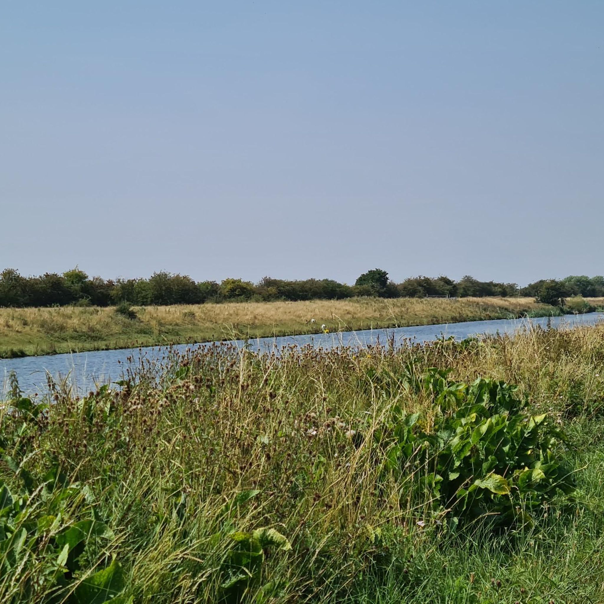
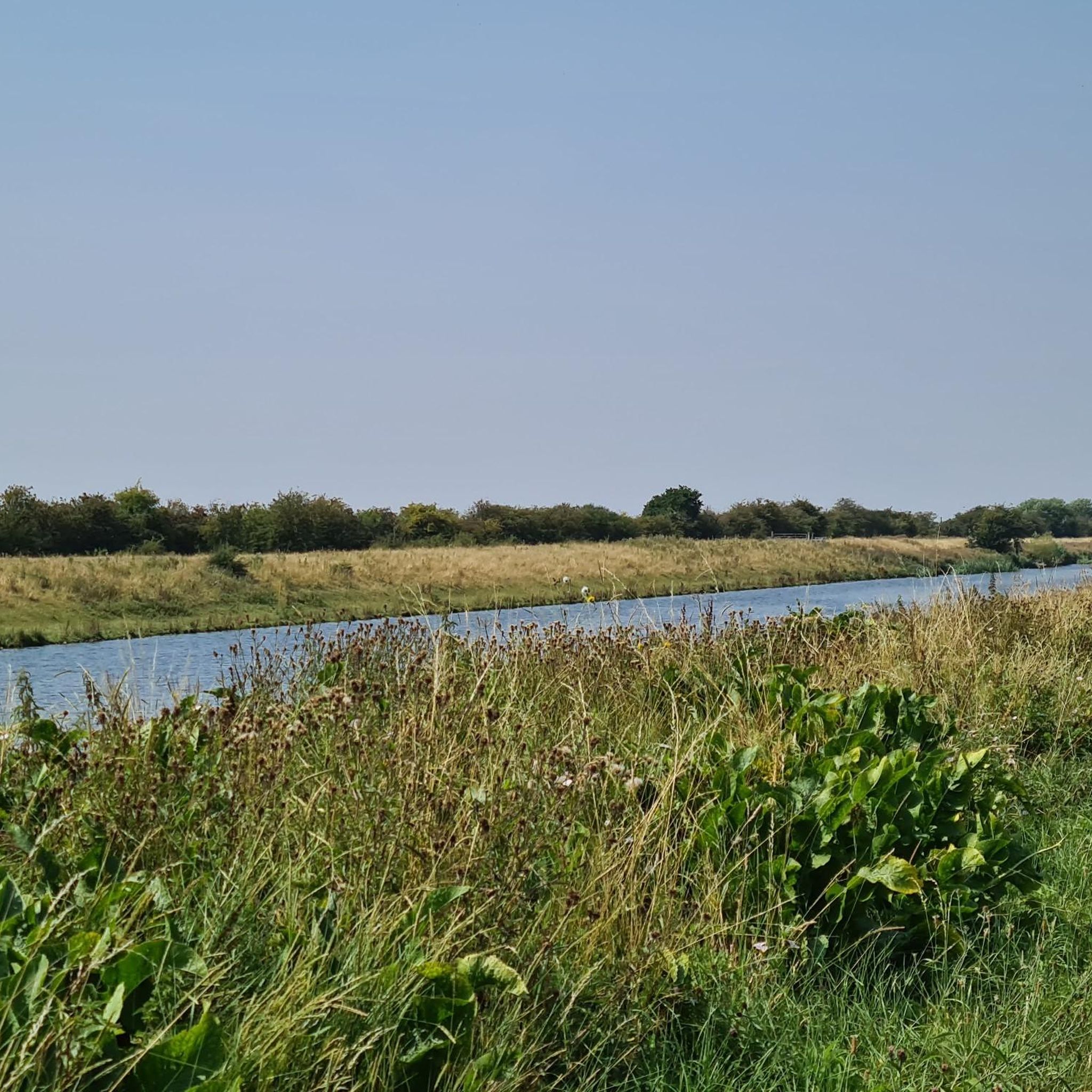
Road cycling routes around Langriville are situated within the flat expanse of the Lincolnshire Fens, a low-lying agricultural landscape characterized by minimal elevation changes and wide-open vistas. The area benefits from the Water Rail Way, a dedicated cycling and walking route that provides largely traffic-free sections. The River Witham borders the region, offering a tranquil backdrop to the fenland scenery. This environment creates an ideal setting for road cycling, particularly for those seeking level roads and quiet routes.
Best road…
Last updated: May 15, 2026
4.8
(4)
80
riders
94.8km
03:40
100m
100m
Moderate road ride. Good fitness required. Mostly well-paved surfaces and easy to ride.
24
riders
65.2km
02:31
70m
70m
Moderate road ride. Good fitness required. Mostly well-paved surfaces and easy to ride.

Sign up for free
5.0
(1)
18
riders
40.4km
01:35
30m
30m
Easy road ride. Great for any fitness level. Mostly well-paved surfaces and easy to ride.
14
riders
91.4km
03:31
120m
120m
Moderate road ride. Good fitness required. Mostly well-paved surfaces and easy to ride.
3.0
(1)
14
riders
Moderate road ride. Good fitness required. Mostly well-paved surfaces and easy to ride.
Get access to more routes and recommendations from other explorers.
Sign up for free
Already have an account?
Our route recommendations are based on thousands of hikes, rides, and runs completed by other people on komoot.
Start today with a free account
Your next adventure awaits.
Login or Signup

Tips from the Community

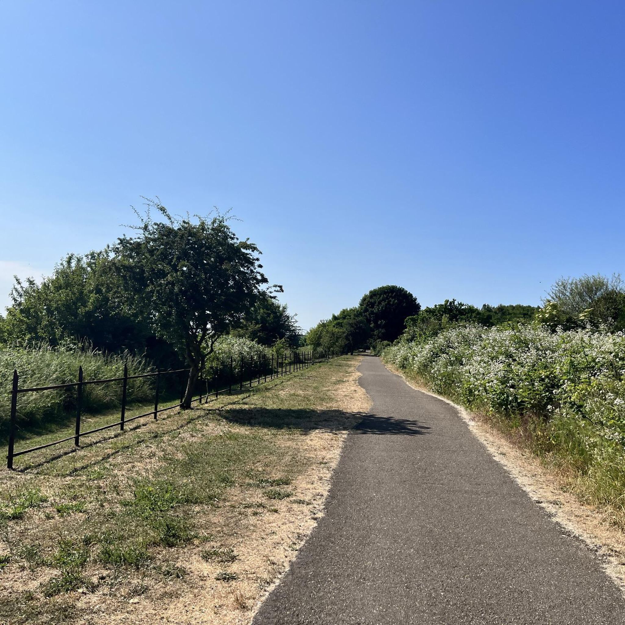
Firm paths, plenty of bird life, good café and enthusiastic volunteers
0
0

Quite a popular spot, with a small amount of seating. If using it as a cafe stop, you may have trouble getting seated during busy times.
0
0


On the Water Rail Way cycle path near Woodhall Spa are some Lincoln Longwool Sheep sculptures by Sally Matthews. Lincoln Longwools are a very old breed of sheep, and at one stage a lot of Lincoln’s agricultural prosperity rested on their world production. Where the sculptures are is a nice spot, and the path opens out a bit, the sheep actually appear to be crossing the path, so be careful!
1
0

THIS UNUSUAL AND HISTORIC CINEMA was once an early 19th century farmhouse, before being converted into a recreation and entertainment center serving the nearby Victoria Hotel. After the hotel was destroyed by fire, the building was converted into the 68th cinema in Britain, opening in 1922. It was originally dubbed the “Pavilion Cinema.” However, upon completion headroom inside didn’t allow for a normal projection system, so a back-projection system was installed. The cinema’s first showing was a film by Charlie Chaplin, after a reel featuring, The Lion Eaters failed to arrive in time for the premiere. The cinema now includes two screens, with the back projection system still operating on screen one, the original auditorium. The Kinema in the Woods is believed to be the only cinema in the United Kingdom to still utilize a back-projection system. Until 1953, the original auditorium had traditional tip-up seats, except for the first six rows.
0
0

Fronts directly on to the street with nowhere to put your bike.
0
0

Frequently Asked Questions
How many road cycling routes are available around Langriville?
There are over 160 road cycling routes available around Langriville, catering to various skill levels. You'll find a good mix of easy, moderate, and a few more challenging options to explore the flat fenland landscape.
What is the typical terrain like for road cycling in Langriville?
The terrain for road cycling in Langriville is predominantly flat, characteristic of the Lincolnshire Fens. You can expect level roads with minimal elevation changes, making it ideal for relaxed rides and covering longer distances without significant climbs. The area offers wide-open vistas across agricultural landscapes.
Are there options for beginner road cyclists in Langriville?
Yes, Langriville is very welcoming for beginner road cyclists. With 78 easy routes and the generally flat terrain of the Lincolnshire Fens, it's an excellent place to start. Routes like the Boston Lock Cafe – Boston Lock Café loop from Boston offer a gentle introduction to the area's cycling.
What kind of views can I expect while cycling in the Langriville area?
While cycling in Langriville, you'll experience expansive skies and long, open views across the unique fenland scenery. The routes often follow drainage channels and agricultural fields, with the tranquil River Witham providing a peaceful backdrop. You might also spot local wildlife along the riverbanks.
What makes the Water Rail Way a good option for road cyclists?
The Water Rail Way is an excellent option for road cyclists due to its mostly traffic-free nature, flat terrain, and scenic views. It largely follows a former railway line, offering a safe and enjoyable ride through the fenland. It also features a sculpture trail and viewing platforms, adding cultural and natural interest to your ride. A great example is the Water Rail Way at Stixwould – Southrey loop from Boston.
Is there parking available for road cyclists near the routes in Langriville?
While specific parking areas for every route aren't detailed, Langriville is situated near Boston, which offers various parking facilities. For routes utilizing the Water Rail Way, you may find parking options in nearby villages or designated access points along the trail. It's advisable to check local parking information for your chosen starting point.
How accessible are the road cycling routes in Langriville by public transport?
Langriville itself is a small civil parish, but its proximity to Boston, a larger town, means that routes originating from Boston are more accessible by public transport. You would likely need to travel to Boston first and then start your ride from there. The Water Rail Way, being a dedicated path, can be accessed at various points, some of which might be near public transport links.
Are there any circular road cycling routes around Langriville?
Yes, many of the road cycling routes around Langriville are designed as loops, allowing you to start and finish at the same point. Examples include the Tattershall Castle – Boston Lock Cafe loop from Boston and the Boston Lock Café – Maud Foster Windmill loop from Boston, which offer convenient circular journeys through the fenland.
What interesting landmarks or attractions can I see along the road cycling routes?
While cycling, you can encounter several interesting landmarks. Notable attractions include the impressive St Botolph's Church (Boston Stump), the historic Tattershall Castle, and the working Maud Foster Windmill. The Water Rail Way itself features a unique sculpture trail inspired by local poetry and wildlife.
What is the best time of year for road cycling in Langriville?
The best time for road cycling in Langriville is generally from spring through autumn (April to October). During these months, the weather is typically milder and drier, making for more pleasant riding conditions. The flat nature of the Fens means it can be exposed to winds, so checking the forecast is always a good idea.
Are the road cycling routes in Langriville suitable for families?
Yes, many of the road cycling routes, especially those utilizing the Water Rail Way, are very suitable for families. The flat, traffic-free sections provide a safe and enjoyable environment for cyclists of all ages and abilities. The minimal elevation changes make it less strenuous for younger riders.
What do other road cyclists enjoy the most about road cycling in Langriville?
The area is highly rated by the komoot community, with an average score of 4.1 stars from over 40 reviews. Reviewers often praise the quiet, flat roads, the expansive fenland scenery, and the opportunity for long, uninterrupted rides. The traffic-free sections of the Water Rail Way are frequently highlighted as a major benefit for a relaxed cycling experience.
Are there cafes or pubs along the road cycling routes in Langriville?
While Langriville itself is small, routes often pass through or near villages and towns like Boston, where you can find cafes and pubs. The Tattershall Castle – Boston Lock Cafe loop from Boston, for instance, suggests a cafe stop. It's a good idea to plan your route with potential refreshment stops in mind, especially for longer rides.
Most popular routes around Langriville
Most popular attractions around Langriville

Get inspired with the komoot mobile app


Explore more
Browse the best Road cycling routes in other regions.
