The best road cycling routes around Higher Hurdsfield
4.6
(137)
7,245
riders
254
rides
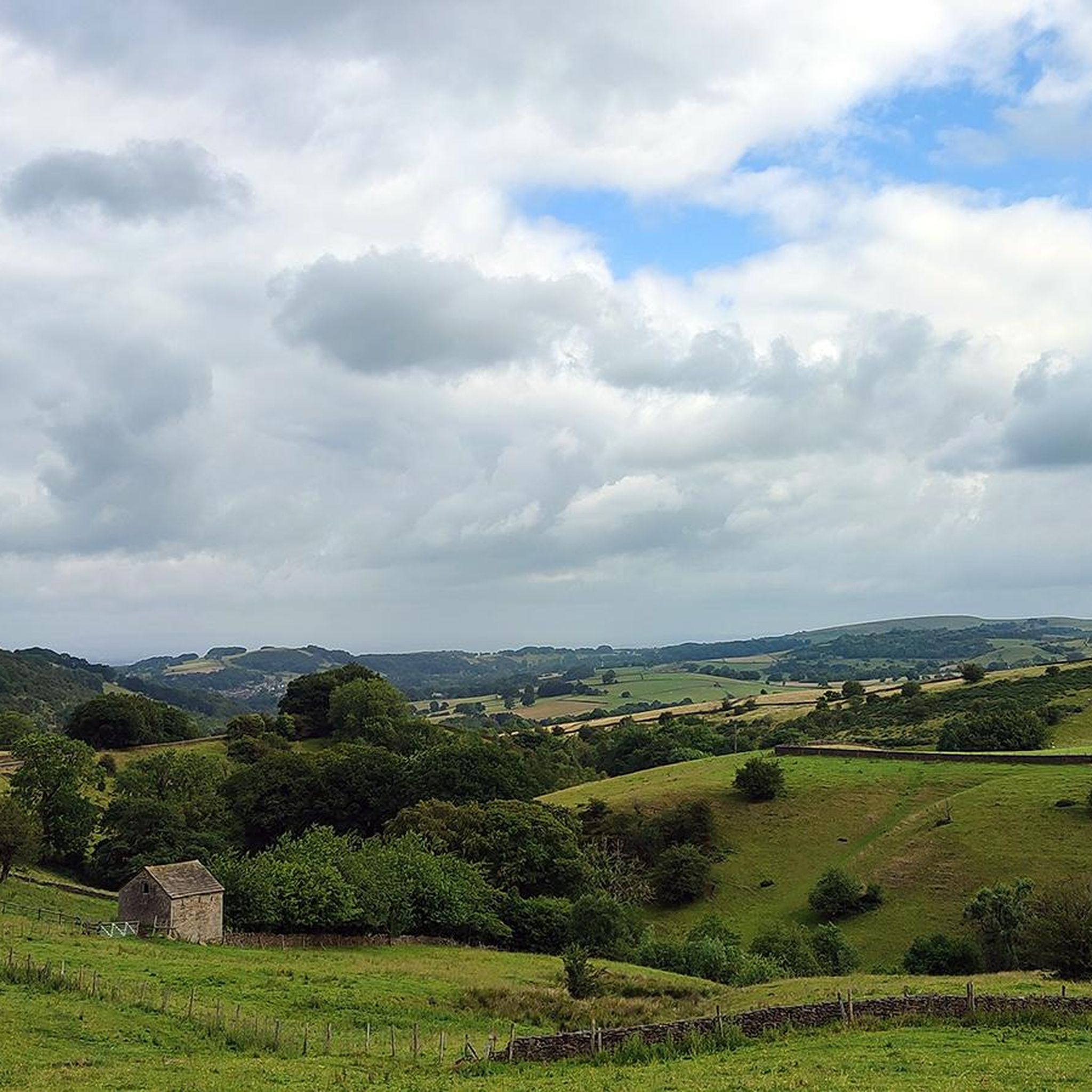
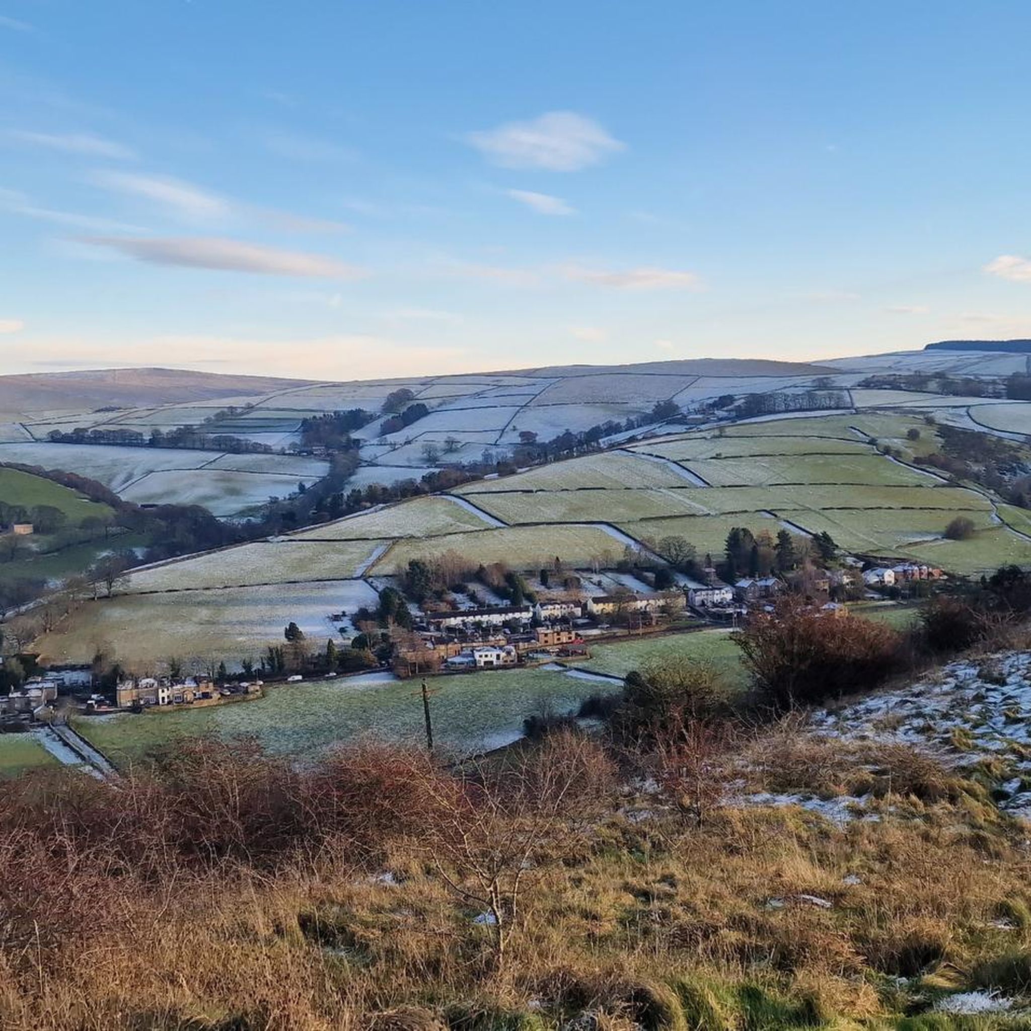
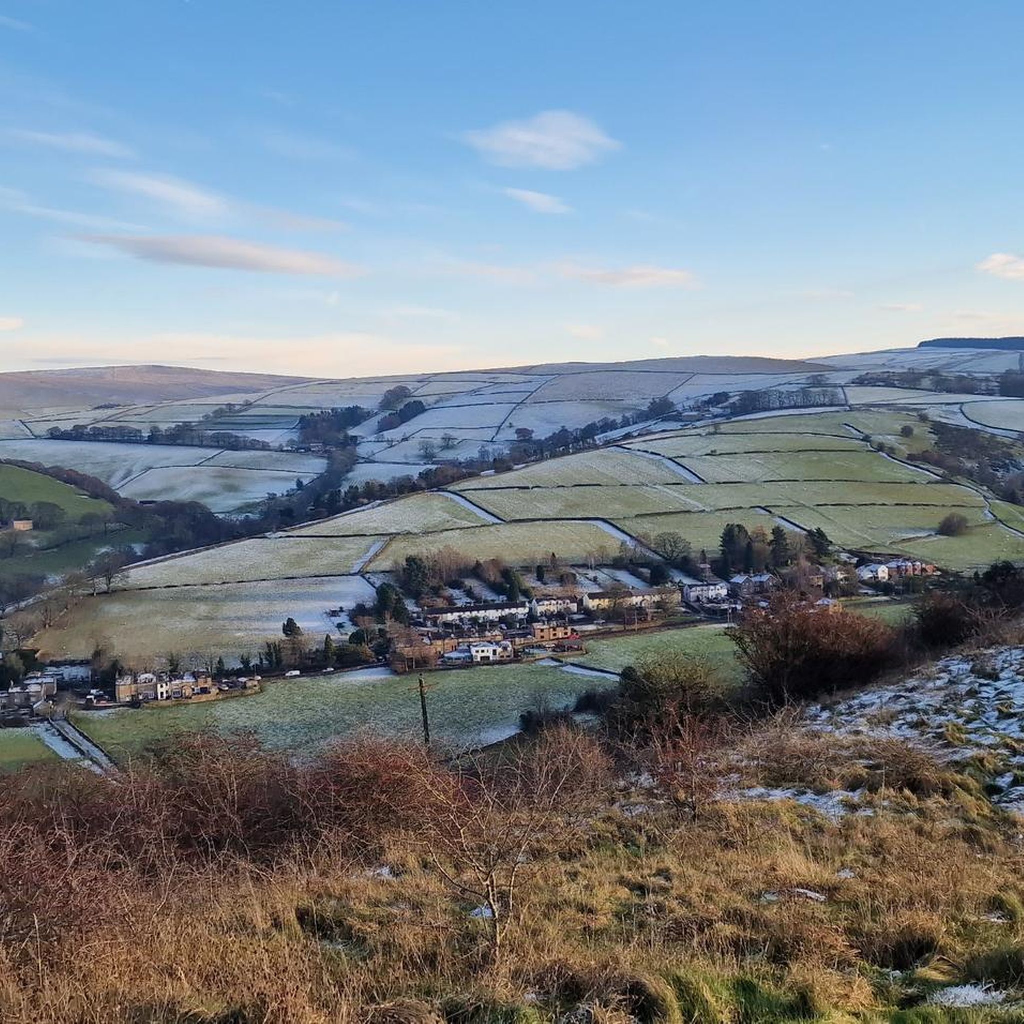
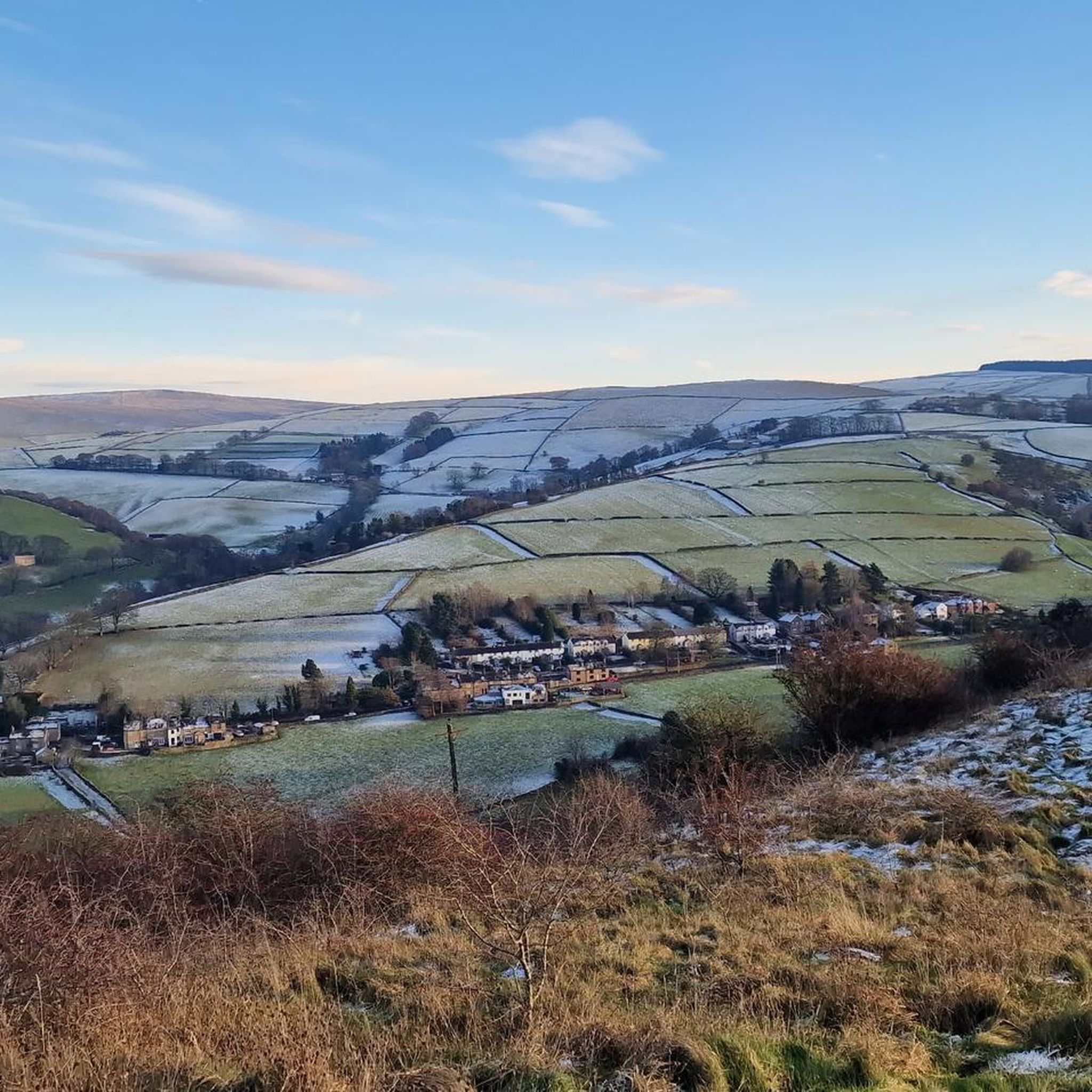
Road cycling around Higher Hurdsfield offers diverse landscapes, characterized by its hilly terrain and open countryside. Situated on the eastern edge of the Peak District National Park, the area provides challenging ascents and scenic routes. Cyclists can explore the Goyt Valley, various reservoirs, and sections alongside the Macclesfield Canal. This region presents a mix of gradients and views across Cheshire and beyond.
Best road cycling routes around Higher Hurdsfield
- The most popular road cycling route is Peak District Cycle Tunnels…
Last updated: May 19, 2026
5.0
(1)
204
riders
99.6km
05:35
1,900m
1,900m
Hard road ride. Very good fitness required. Some segments of this route may be unpaved and difficult to ride.
5.0
(1)
151
riders
48.9km
02:06
280m
280m
Moderate road ride. Good fitness required. Mostly well-paved surfaces and easy to ride.

Sign up for free
5.0
(1)
124
riders
56.9km
02:22
310m
310m
Moderate road ride. Good fitness required. Mostly well-paved surfaces and easy to ride.
97
riders
51.8km
02:51
950m
950m
Hard road ride. Very good fitness required. Mostly well-paved surfaces and easy to ride.
5.0
(1)
96
riders
39.7km
01:46
240m
240m
Easy road ride. Great for any fitness level. Mostly well-paved surfaces and easy to ride.
Get access to more routes and recommendations from other explorers.
Sign up for free
Already have an account?
Our route recommendations are based on thousands of hikes, rides, and runs completed by other people on komoot.
Start today with a free account
Your next adventure awaits.
Login or Signup

Tips from the Community

Steep, busy with cars and tourists, but beautiful scenery. Worth the pain.
0
0

Many places along the back lanes to get a lovely view of Parkhouse House and Chrome Hills.
0
0
Watch some of the descents in this area during wet or icy weather.
0
0

very fast coming from Pym's chair. then is a leg sapping uphill for a few miles to the end.
0
0

Can be busy, and only the central aisle is tarmac, the verges are thick gravel which isn't ideal for cycling on.
0
0

Awesome massive descent if you come from the right side Big pillars either side of the pass make it feel like a canyon
1
0

Keep your wits about you in the tunnels as its dark and on weekend it can busy so watch out for unaware walkers, children and dogs. If you have a light best to turn it on to be seen better,
0
0

Frequently Asked Questions
What kind of terrain can I expect when road cycling near Higher Hurdsfield?
Road cycling around Higher Hurdsfield is characterized by its diverse and often hilly terrain. Situated on the eastern edge of the Peak District National Park, you'll encounter challenging ascents, including "calf-punishingly steep climbs" like Beeston Brow, alongside open countryside with expansive views. There are also flatter sections along the Macclesfield Canal for a change of pace.
How many road cycling routes are available around Higher Hurdsfield?
There are over 260 road cycling routes available around Higher Hurdsfield, catering to various skill levels. This includes 72 easy routes, 121 moderate routes, and 70 difficult routes, ensuring options for everyone from beginners to experienced climbers.
Are there road cycling routes suitable for beginners or families in Higher Hurdsfield?
Yes, Higher Hurdsfield offers several easier road cycling routes suitable for beginners or families. For instance, the Ian Curtis Mural – Swing Bridge Over the Canal loop from Macclesfield is an easy 39.7 km route that follows flatter sections, including parts along the Macclesfield Canal, providing a more relaxed experience.
What makes road cycling around Higher Hurdsfield challenging?
The challenging nature of road cycling around Higher Hurdsfield stems from its proximity to the Peak District National Park, which brings significant elevation gains. Routes like the Peak District Cycle Tunnels – Winnats Pass loop from Macclesfield feature nearly 2,000 meters of climbing over 99.5 km, including iconic passes, making them ideal for experienced cyclists seeking a demanding ride.
Are there scenic viewpoints or natural features to see along the road cycling routes?
Absolutely. Many routes offer stunning views across Cheshire and into the Peak District. You can cycle towards prominent peaks like Shining Tor trig point, the highest point in Cheshire, or Shutlingsloe Summit, both offering outstanding vistas on clear days. The area also features the picturesque Goyt Valley and several reservoirs, such as Errwood, Ridgegate, and Trentabank.
Can I incorporate historical landmarks or points of interest into my road cycling trip?
Yes, the region is rich with interesting landmarks. You could plan a route to include White Nancy, a distinctive folly near Bollington, which offers a rewarding destination with steep climbs and views of the Cheshire Plain. Additionally, the historic Three Shires Head Stone Bridge and Waterfalls, a Grade II listed bridge, is a notable natural and historical feature accessible from the area.
Are there any road cycling routes that pass by waterfalls?
Yes, the area around Higher Hurdsfield features several beautiful waterfalls that can be incorporated into your rides. Notable ones include Three Shires Head Stone Bridge and Waterfalls, Deep Clough Waterfall, and Ingersley Vale Waterfall (Waulkmill Waterfall), offering picturesque stops along your journey.
Are there circular road cycling routes starting from Higher Hurdsfield?
Many of the road cycling routes around Higher Hurdsfield are designed as loops, allowing you to start and finish in the same location. Examples include the moderate Hare Hill Entrance – Over Peover War Memorial Cross loop from Macclesfield and the Quiet Country Lane – Hare Hill Entrance loop from Macclesfield, both offering scenic circular journeys through rural landscapes.
What do other cyclists say about the road cycling routes in Higher Hurdsfield?
The road cycling routes in Higher Hurdsfield are highly regarded by the komoot community, with an average rating of 4.6 stars from over 100 reviews. Cyclists often praise the varied terrain, from challenging climbs to scenic rural lanes, and the stunning views across the Cheshire Plain and into the Peak District.
Where can I find parking for road cycling in Higher Hurdsfield?
While specific parking areas for cyclists in Higher Hurdsfield are not detailed, its proximity to Macclesfield means you can often find parking in or around the town, which serves as a common starting point for many routes. Always check local regulations and signage for parking availability and restrictions.
Are there any cafes or pubs suitable for cyclists along the routes?
The area around Higher Hurdsfield, including nearby Macclesfield and villages within the Peak District fringes, offers various cafes and pubs that are popular stops for cyclists. While specific establishments are not listed here, you'll find options to refuel and relax in the towns and villages you pass through.
What is the best time of year for road cycling in Higher Hurdsfield?
The best time for road cycling in Higher Hurdsfield is generally from spring through autumn (April to October). During these months, the weather is typically milder, and the stunning landscapes of the Peak District are at their most vibrant. Winter cycling is possible but can be challenging due to colder temperatures and potentially icy or wet conditions on higher elevations.
Most popular routes around Higher Hurdsfield
Most popular attractions around Higher Hurdsfield

Get inspired with the komoot mobile app


Explore more
Browse the best Road cycling routes in other regions.
