The best MTB trails around Wiesener Forst
4.7
(3119)
10,395
riders
455
rides
Mountain biking around Wiesener Forst offers a network of trails through dense woodlands and varied terrain. The region is characterized by its extensive forest areas, including the Birklergrund and Aubachtal Valley, providing a mix of ascents and descents. Trails often follow established forest paths and lead through natural biotopes. The landscape features rolling hills and valleys, making it suitable for different levels of mountain biking.
Best mountain bike trails around Wiesener Forst
- The most popular mountain bike trail is Birklergrund…
Last updated: July 1, 2026
4.6
(32)
52
riders
35.0km
02:38
390m
390m
Moderate mountain bike ride. Good fitness required. Advanced riding skills necessary.
5.0
(2)
14
riders
26.2km
02:30
610m
610m
Moderate mountain bike ride. Good fitness required. Advanced riding skills necessary.

Sign up for free
5.0
(2)
9
riders
Moderate mountain bike ride. Good fitness required. Advanced riding skills necessary.
4.6
(11)
30
riders
28.6km
02:26
540m
540m
Moderate mountain bike ride. Good fitness required. Advanced riding skills necessary.
4.7
(3)
9
riders
17.3km
01:26
280m
280m
Moderate mountain bike ride. Great for any fitness level. Advanced riding skills necessary.
Get access to more routes and recommendations from other explorers.
Sign up for free
Already have an account?
Our route recommendations are based on thousands of hikes, rides, and runs completed by other people on komoot.
Start today with a free account
Your next adventure awaits.
Login or Signup

Tips from the Community

Large wetland, where water buffalo will soon be grazing.
0
0

unproblematic to drive in both directions
0
0

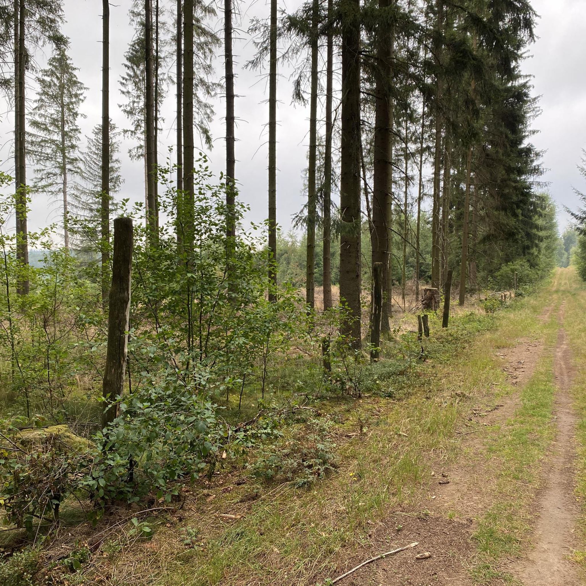
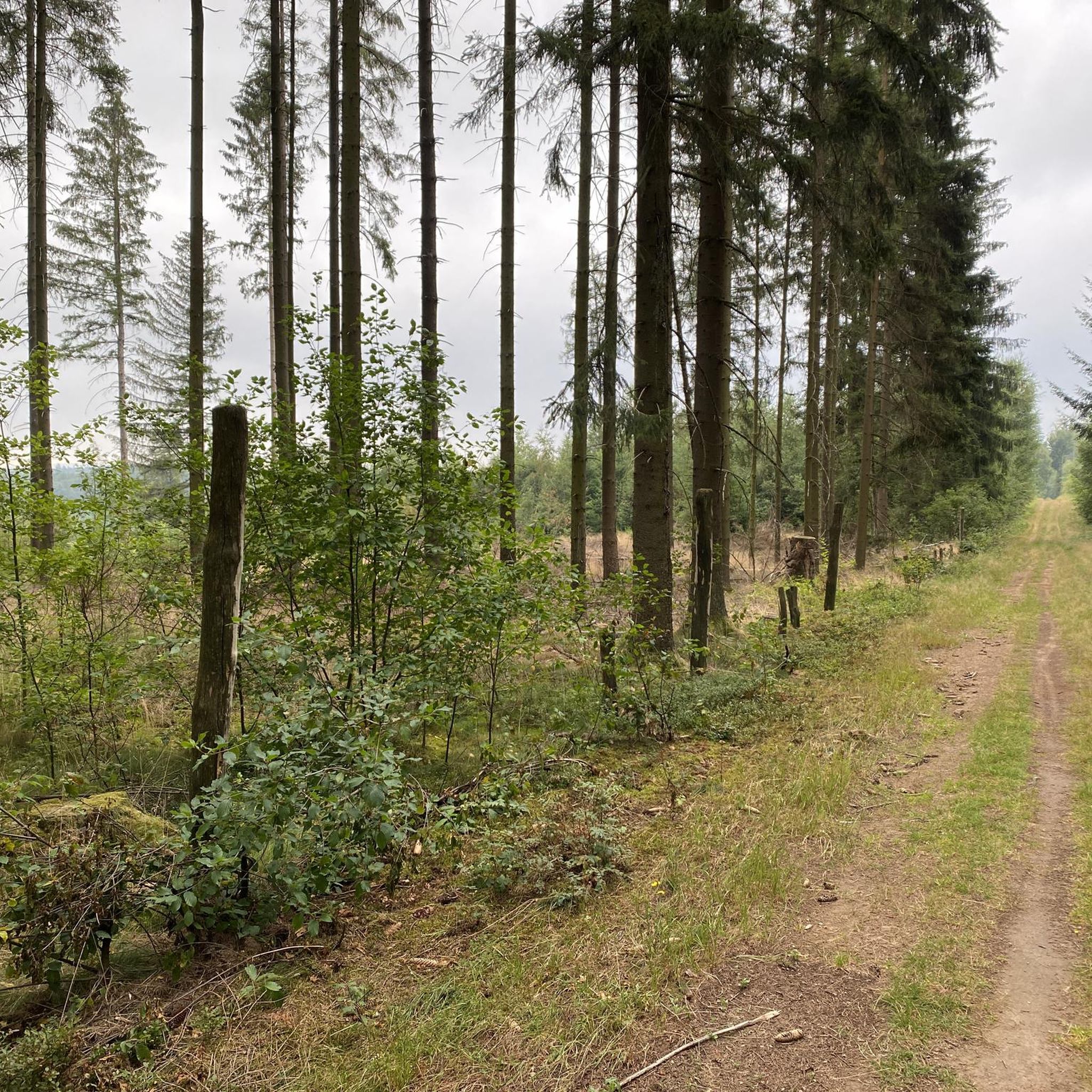
🌲 On Historic Paths: Via the Donkey Trail to Pollasch This section of the Donkey Trail is a true highlight for hikers seeking peace and unspoiled nature. The trail leads through dense, atmospheric coniferous and mixed forests, offering a diverse hiking experience. What to expect on this section: Trail conditions: The path is predominantly a natural singletrack. Sometimes it leads over soft, pine-covered forest floor, and at other times over somewhat firmer, root-covered sections. Perfect for a joint-friendly and authentic hiking experience. The trail markings: Look for the distinctive black "E" on a white background. As you can see in the pictures, the trail is excellently signposted (often directly on the stately fir and spruce trees), so it's almost impossible to lose your way. Flora & Fauna: The interplay of light and shadow is particularly beautiful. In the more open sections, tall grass and ferns line the path. With a bit of luck, you might discover interesting tree fungi growing on the old trunks, just like in the photos. Atmosphere: There's an almost meditative stillness. The high treetops shield you from the wind and everyday noises, while the scent of pine needles fills the air. Tip for the hike: The path towards Pollasch features gentle inclines along the way. Sturdy footwear is recommended due to the root sections and the sometimes uneven ground.
0
0

Heinrichsthal is a municipality in the Lower Franconian district of Aschaffenburg and a member of the Heigenbrücken administrative community. It is the highest municipality in the entire Spessart and the smallest municipality in the Aschaffenburg district. The municipality is located in the Bavarian Lower Main region at the upper end of the Lohrbach Valley. The highest point in the municipality is the peak of Schindershöh at 522 m above sea level (location), and the lowest is at the Lohrbach stream near Unterlohrgrund at 313 m above sea level (location). The Kahltal-Spessart cycle path runs through the village. In 1636, the name of the master of a glassworks located in this region first appeared: Heinrich Fleckenstein of the glassworks in Wollersbuch. Another master glassworks owner, Jacob Fleckenstein, is also mentioned in 1639. In 1647, Heinrich Fleckenstein's glassworks was located in the Lohrgrund, but it burned down for less than 34 weeks. An account book from 1652 reveals that Heinrich and Jacob were brothers. In 1664, the two place names "Heinrichs grundt and Jacobs thael" first appeared as location designations. The latter became the present-day village of Jakobsthal. A new stage in the village's history began in 1678, when Heinrichsthal was first mentioned as a village. The first taxes had to be paid for seven houses and ten head of cattle. Heinrich Fleckenstein's initials were incorporated into the Heinrichsthal coat of arms. Source: Wikipedia
1
0

bad road, cool bridge
0
0

Sometimes there is a tree 🌳 in the way.
1
0

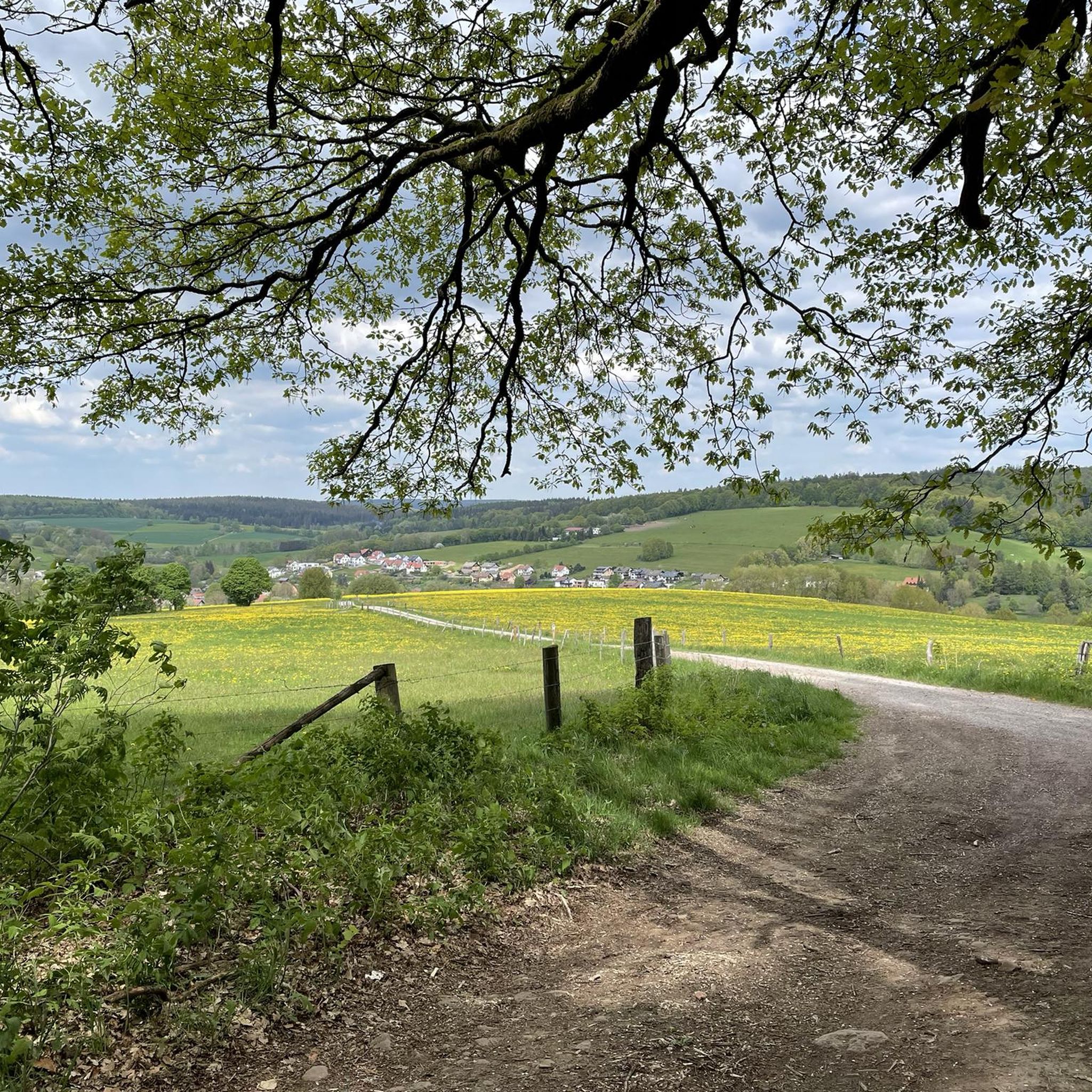
Wiesen is a municipality in the Aschaffenburg district. Two old trade routes intersect here: the "Eselsweg" and the "Birkenhainer Straße" run just west of Wiesen.
1
0
From Heigenbrücken train station it is only a few meters to the spa park.
2
0
Frequently Asked Questions
How many mountain bike trails are there in Wiesener Forst?
Wiesener Forst offers a wide selection of over 460 mountain bike trails. These routes cater to various skill levels, including 65 easy, 346 moderate, and 51 difficult trails.
Are there mountain bike trails suitable for beginners in Wiesener Forst?
Yes, Wiesener Forst has 65 easy mountain bike trails perfect for beginners or those looking for a relaxed ride. A good option is the Birklergrund Forest Shrine – Wiesbüttsee loop from Heinrichsthal, which is 22.1 km long and classified as easy.
What are the options for advanced mountain bikers in Wiesener Forst?
For advanced mountain bikers seeking a challenge, there are 51 difficult trails in Wiesener Forst. These routes often feature more technical sections and significant elevation changes, providing a demanding experience.
Are there any family-friendly mountain bike trails in Wiesener Forst?
While many trails in Wiesener Forst are moderate, some of the easier routes can be suitable for families with older children or those comfortable with longer distances. The Birklergrund Forest Shrine – Wiesbüttsee loop from Heinrichsthal, an easy 22.1 km trail, offers a less strenuous option through scenic forest landscapes.
Are there mountain bike trails with parking available in Wiesener Forst?
Many trailheads in and around Wiesener Forst, particularly those starting from villages like Heinrichsthal, offer designated parking areas. It's advisable to check specific route details on komoot for parking information at the starting point of your chosen trail.
What is the best time of year for mountain biking in Wiesener Forst?
The spring, summer, and autumn months generally offer the best conditions for mountain biking in Wiesener Forst. The dense woodlands provide shade in summer, while spring and autumn showcase vibrant foliage. Winter riding is possible, but trails may be muddy or icy, requiring appropriate gear and caution.
Are there loop trails for mountain biking in Wiesener Forst?
Yes, Wiesener Forst features numerous loop trails, allowing you to start and end your ride at the same point. Examples include the popular Birklergrund Forest Shrine – Aubachtal Valley loop from Heinrichsthal (35.7 km) and the Birklergrund Trail – Heigenbrücken Biotopes loop from Heinrichsthal (26.2 km).
What can I see along the mountain bike trails in Wiesener Forst?
The trails often lead through diverse natural settings. You can explore areas like the Wiesbüttmoor Nature Reserve and pass by serene bodies of water such as Wiesbüttsee or Middle Aubachsee. The region's extensive forest areas, including the Birklergrund and Aubachtal Valley, offer picturesque views.
Are there any interesting landmarks or attractions near the mountain bike trails?
Beyond the trails, you can find attractions like the Bad Orb Graduation House or the Haseltal Trail (Flowtrail Bad Orb) for more dedicated mountain biking. The historic Eselsweg at Waldhaus Engländer is also a notable point of interest.
What do other mountain bikers enjoy the most about mountain biking in Wiesener Forst?
The area is highly rated by the komoot community, with an average score of 4.7 stars from over 2,800 reviews. Reviewers often praise the extensive network of trails through dense woodlands, the varied terrain with a good mix of ascents and descents, and the natural beauty of the region's valleys and biotopes.
Are there places to eat or cafes near the mountain bike trails in Wiesener Forst?
Yes, you can find places to refuel near the trails. The Forellengrill Röll is a popular spot, and the Bavarian Schanz Inn also offers refreshments. Many routes pass through or near villages where additional dining options may be available.
Most popular routes around Wiesener Forst
Most popular attractions around Wiesener Forst

Get inspired with the komoot mobile app


Explore more
Browse the best MTB trails in other regions.
