The best MTB trails around Tallington
4.7
(76)
460
riders
23
rides
Mountain biking around Tallington primarily explores the wider Lincolnshire and Cambridgeshire countryside, characterized by flat to gently rolling terrain, river valleys, and large reservoirs. The area features a network of paths that traverse agricultural land, alongside waterways like the River Nene, and around significant water bodies such as Rutland Water. While Tallington itself is known for water sports, the surrounding region offers accessible routes for mountain bikers seeking varied landscapes. The elevation changes are generally modest, with routes often following…
Last updated: October 27, 2026
4.6
(57)
371
riders
64.7km
04:01
390m
390m
Moderate mountain bike ride. Good fitness required.
5.0
(1)
7
riders
59.1km
03:18
160m
160m
Moderate mountain bike ride. Good fitness required.

4
riders
48.2km
02:46
320m
320m
Moderate mountain bike ride. Good fitness required.
4.0
(1)
5
riders
Easy mountain bike ride.
5
riders
30.5km
01:51
250m
250m
Easy mountain bike ride.
Get access to more routes and recommendations from other explorers.
Already have an account?
Our route recommendations are based on thousands of hikes, rides, and runs completed by other people on komoot.
Start today with a free account
Your next adventure awaits.
Tips from the Community

Most interestingly designed. Comfortable connection.
2
0
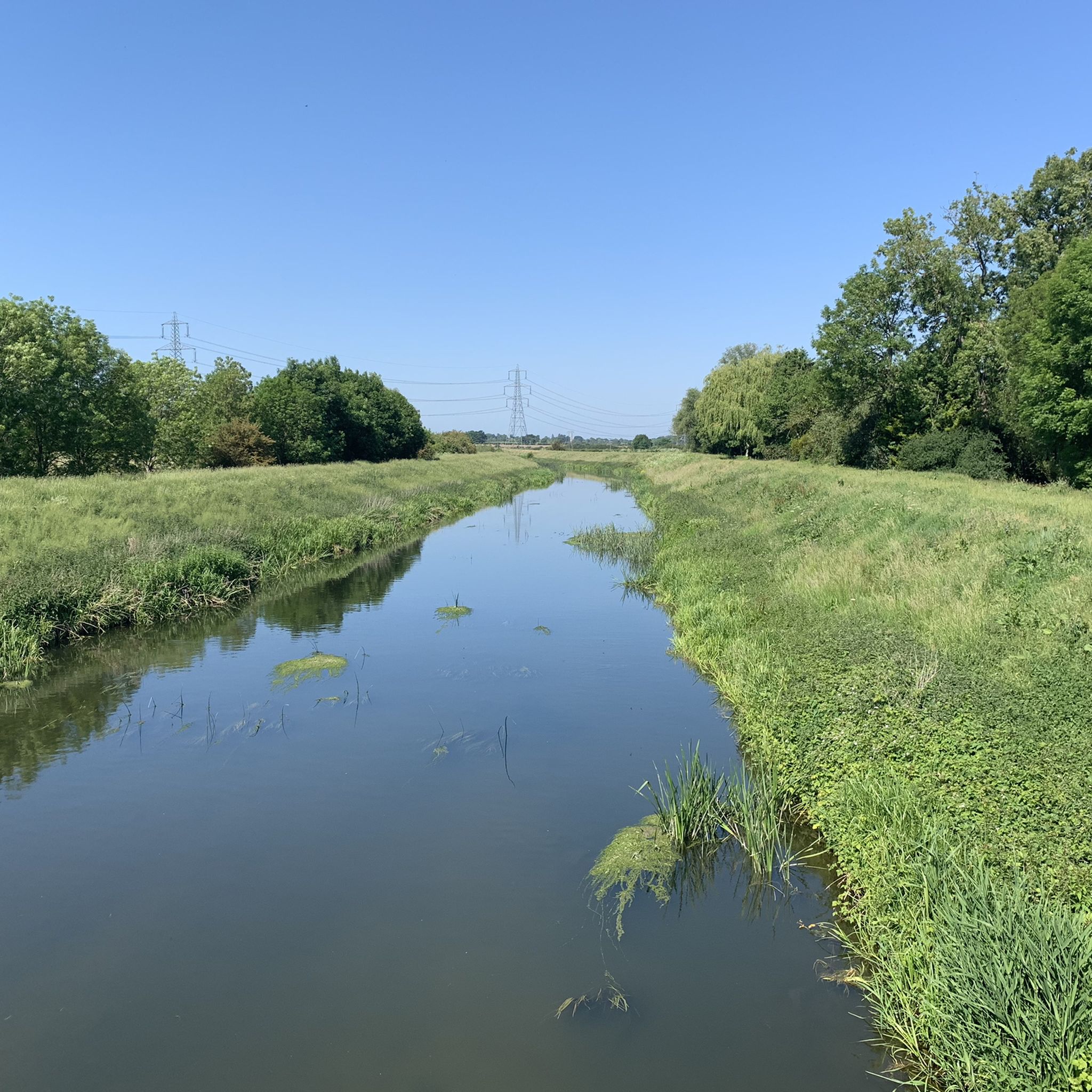
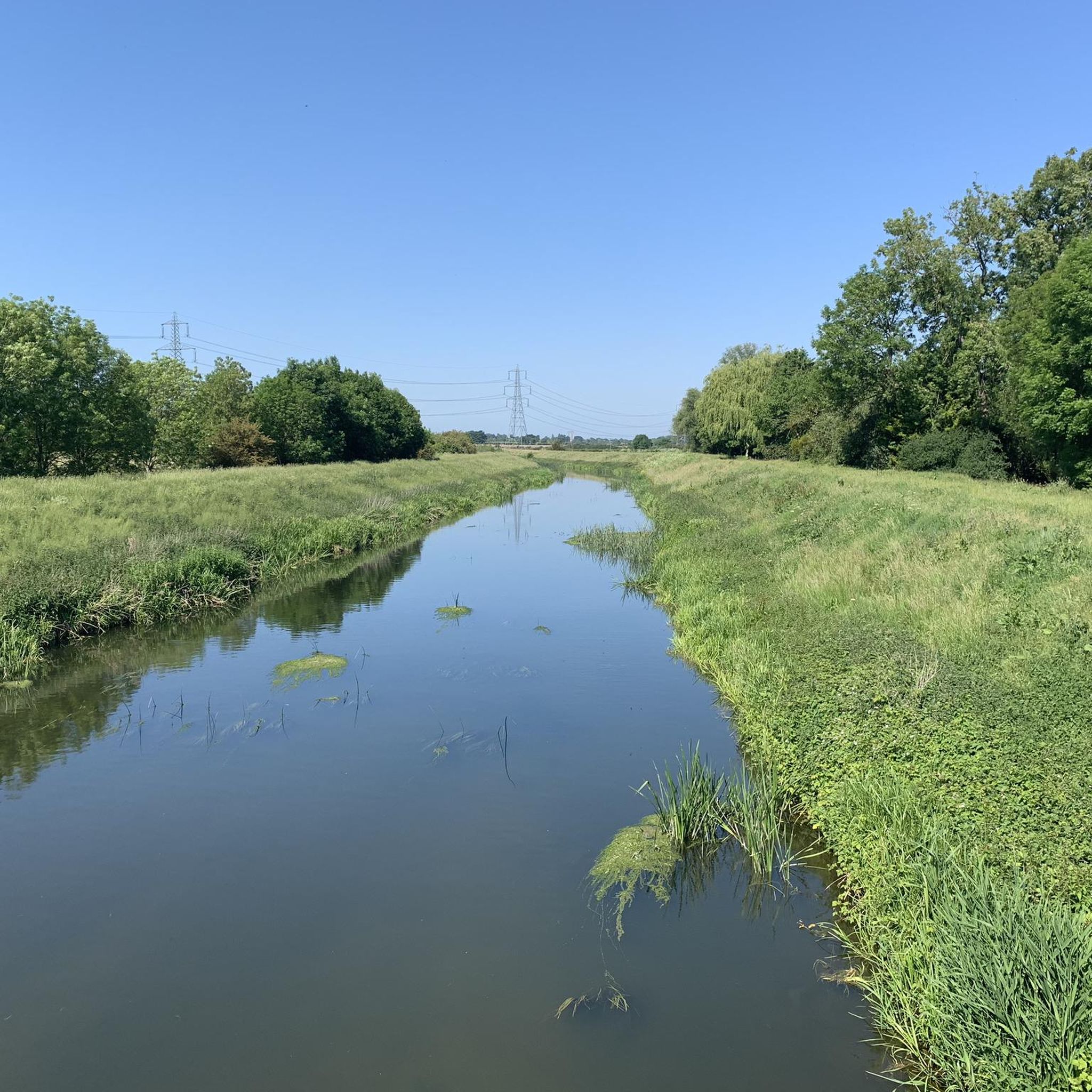
Generally a bit of a wasteland. There is nothing here except nature and the river. A simple section for a quick bike ride.
2
0

nice link back to the embankment or fence road back to fengate
1
0

Gunwade Lake at Ferry Meadows is a fantastic spot for a flat and scenic run. If you're a runner, I highly recommend checking it out! The path is wide and well-maintained, and you'll often see lots of other runners and walkers, making it a really friendly and motivating place to be. It’s perfect for working on your pacing and enjoying the beautiful views. #running #FerryMeadows #GunwadeLake #runnertip
0
0

Tight entrance so be careful but stunning views
1
0

Red Lion Square is a historic market place and the center of Stamford, Lincolnshire, England, known for its cobbled surface.
0
0
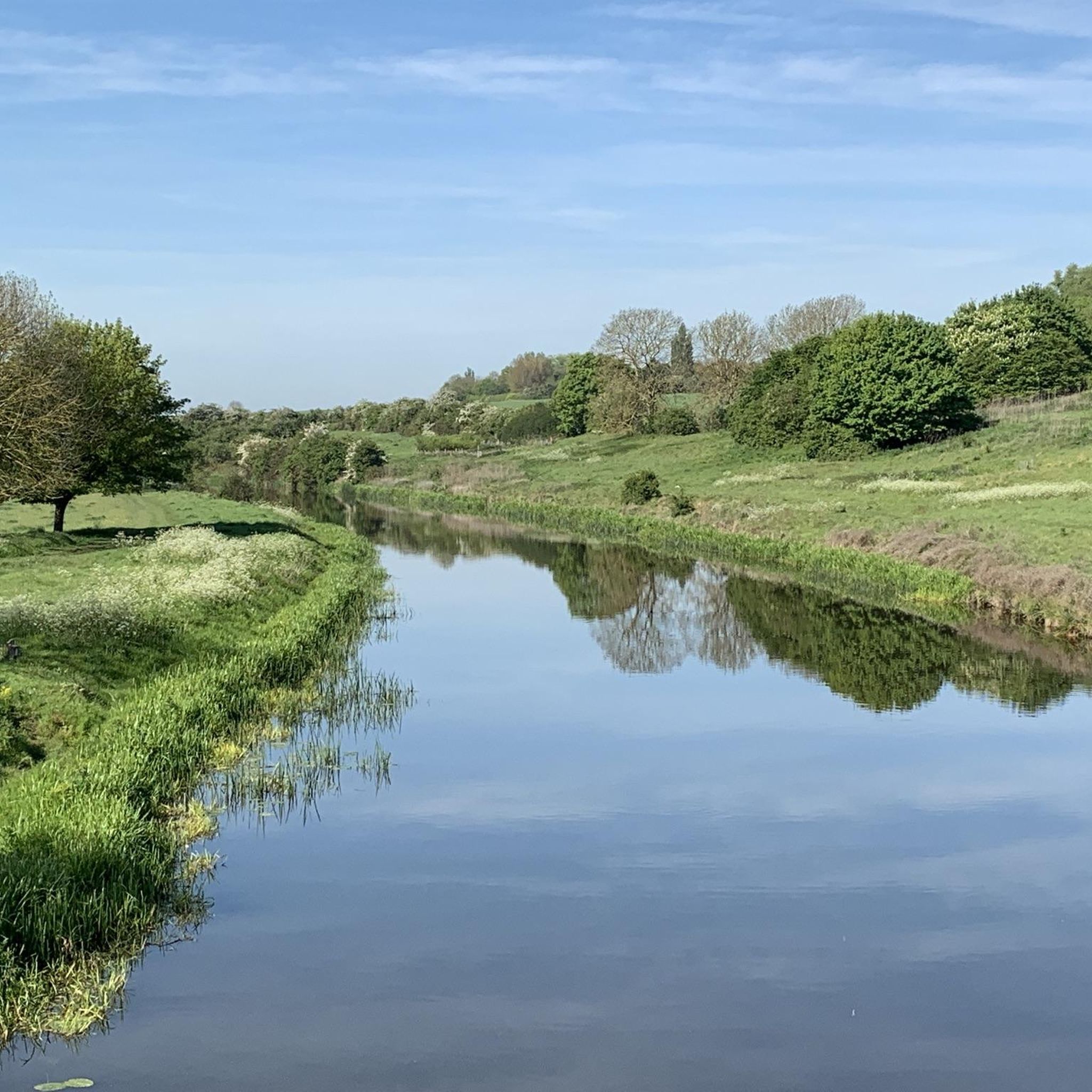
The River Welland is a 65-mile (105 km) long lowland river in eastern England, originating in the Hothorpe Hills and flowing northeast to The Wash.
0
0
St Martin's Church in Stamford, Lincolnshire, is a Grade I listed Church of England parish church. Historically located in Northamptonshire until 1889, the area it serves is known as Stamford Baron or St Martin's, situated south of the River Welland.
0
0
Frequently Asked Questions
How many mountain bike trails are available around Tallington?
There are 30 mountain bike trails around Tallington listed on komoot, offering a variety of experiences across the wider Lincolnshire and Cambridgeshire countryside.
What is the general terrain like for mountain biking near Tallington?
The terrain around Tallington is primarily flat to gently rolling, exploring river valleys and large reservoirs. Routes often follow established trails and country lanes, with modest elevation changes. You'll find paths traversing agricultural land and alongside waterways like the River Nene.
Are there mountain bike trails suitable for beginners near Tallington?
Yes, there are 11 easy mountain bike trails around Tallington. A good option for beginners is the Red Lion Square, Stamford – Stamford Historic Town Centre loop from Stamford, which is 17.0 miles (27.3 km) long and features gentle terrain.
What do other mountain bikers say about the trails around Tallington?
The mountain bike routes around Tallington are highly rated by the komoot community, with an average score of 4.9 stars from over 55 reviews. Over 460 mountain bikers have used komoot to explore the varied terrain, often praising the scenic waterside riding and historic townscapes.
Are there any mountain bike routes that offer scenic views or pass by landmarks?
Absolutely. Many routes offer scenic views, particularly those around Rutland Water. For example, the Rutland Water Dam – Normanton Church loop from Stamford provides stunning views of Rutland Water and its historic church. You can also explore routes that pass by historic sites like Burghley House Bottle Lodges.
Can I find mountain bike routes that are circular loops?
Yes, many of the mountain bike routes around Tallington are designed as circular loops. Popular options include the Gunwade Lake – River Nene loop from Northborough and the Normanton Church – Rutland Water Dam loop from Stamford.
Are there family-friendly mountain bike trails in the Tallington area?
Given the predominantly flat to gently rolling terrain and the presence of 11 easy routes, many trails around Tallington are suitable for families. The routes often follow country lanes and established paths, making them accessible for various skill levels.
What kind of elevation changes can I expect on mountain bike trails around Tallington?
The mountain bike routes around Tallington typically feature gentle climbs and descents. The area is characterized by modest elevation changes, making it suitable for riders who prefer less strenuous ascents. For instance, the Gunwade Lake – River Nene loop from Northborough has an elevation gain of about 155 meters over nearly 59 km.
When is the best time of year to go mountain biking near Tallington?
The best time to go mountain biking near Tallington is generally during the spring, summer, and early autumn months. The flat terrain means trails are less likely to be severely impacted by snow, but can get muddy after heavy rain. Warmer, drier weather ensures more pleasant riding conditions and better visibility for enjoying the countryside and water features.
Are there options for refreshments or places to stop along the mountain bike trails?
Yes, several routes pass through or near towns and villages where you can find refreshments. The Red Lion Square, Stamford – Stamford Historic Town Centre loop from Stamford, for example, takes you directly through the historic town of Stamford, which offers numerous cafes, pubs, and shops.
Are the mountain bike trails around Tallington dog-friendly?
Many of the trails around Tallington, particularly those on public bridleways and country lanes, are generally dog-friendly. However, it's always recommended to keep dogs on a lead, especially when passing through agricultural land with livestock or near busy roads. Check specific route details on komoot for any restrictions.
Are there longer mountain bike routes for more experienced riders?
Yes, there are several longer routes for those seeking a more extensive ride. The Rutland Water Dam – Normanton Church loop from Stamford is a substantial 39.7 miles (63.8 km) trail, and the Burghley House Bottle Lodges – Wothorpe Towers loop from Bainton covers 48.7 km, both offering moderate challenges.
Most popular attractions around Tallington

Get inspired with the komoot mobile app


Explore more
Browse the best MTB trails in other regions.
