The best walks and hikes around Thorpe-In-Balne
4.5
(248)
2,203
hikers
158
hikes
Hikes around Thorpe-in-Balne explore the open farmland and countryside of South Yorkshire. The terrain is generally flat, characterized by lowland grasslands, woodlands, and paths along the River Don floodplain. Many walking routes near Thorpe-in-Balne incorporate sections of the Thorpe Marsh Nature Reserve and the Trans Pennine Trail.
Best hiking trails around Thorpe-in-Balne
- The most popular hiking route is the Bentley Woodland and Thorpe Nature Reserve loop from Bentley, a 11.2 mile (18.1 km) trail that takes around 4 hours 35 minutes to complete. This route combines woodland paths with trails through the nature reserve.
- Another top favourite among local hiking enthusiasts is the Bentley Woodland loop from Bentley, an easy 4.2 mile (6.7 km) path. This shorter hike is a good option for exploring the local community woodland.
- Local hiking enthusiasts also love the Kirkhouse Green Lift Bridge – New Junction Canal Towpath loop from Braithwaite, a 5.1 mile (8.2 km) trail leading through the open landscape, often completed in about 2 hours.
- Hiking around Thorpe-in-Balne is defined by canal towpaths, nature reserve footpaths, and trails through community woodlands. The network of public footpaths offers options for different ability levels, with mostly flat and gentle gradients.
- The routes in Thorpe-in-Balne are highly rated by the komoot community with an average score of 4.6 stars from over 200 reviews. More than 2,000 hikers have used komoot to explore Thorpe-in-Balne's varied terrain.
Last updated: June 25, 2026
5.0
(2)
14
hikers
6.68km
01:43
30m
30m
Easy hike. Great for any fitness level. Easily-accessible paths. Suitable for all skill levels.
1
hikers
18.1km
04:35
40m
40m
Hike the moderate 11.2-mile Trans Pennine Trail: Thorpe Marsh Loop, exploring nature, birdwatching, and industrial history near Doncaster.

Sign up for free
10
hikers
Moderate hike. Good fitness required. Easily-accessible paths. Suitable for all skill levels.
4.0
(1)
4
hikers
12.9km
03:16
30m
30m
Moderate hike. Good fitness required. Easily-accessible paths. Suitable for all skill levels.
5.0
(1)
5
hikers
4.94km
01:16
30m
30m
Easy hike. Great for any fitness level. Easily-accessible paths. Suitable for all skill levels.
Get access to more routes and recommendations from other explorers.
Sign up for free
Already have an account?
Our route recommendations are based on thousands of hikes, rides, and runs completed by other people on komoot.
Start today with a free account
Your next adventure awaits.
Login or Signup

Tips from the Community

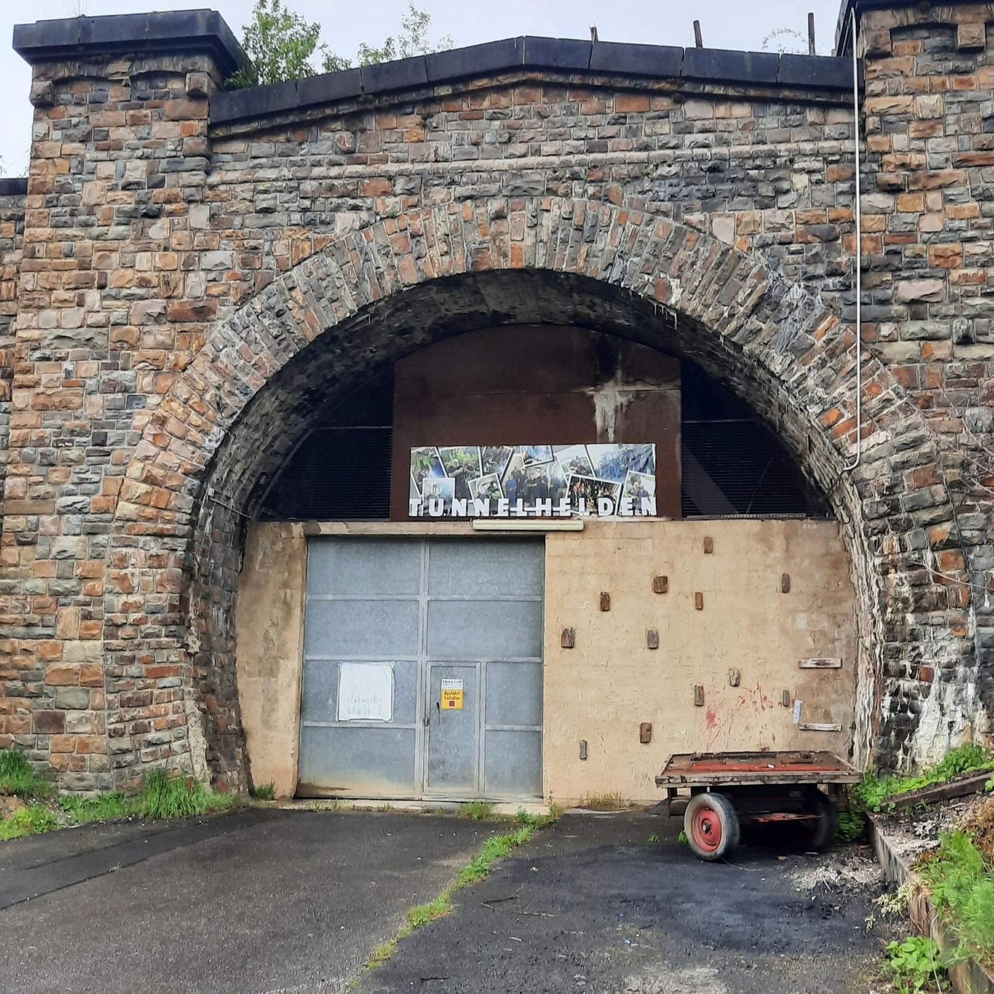
Impassable passage for touring bikes! What were the English thinking??!!
0
0

Reclaimed land from the former Bentley Colliery, now the Bentley Community Woodland.
1
0

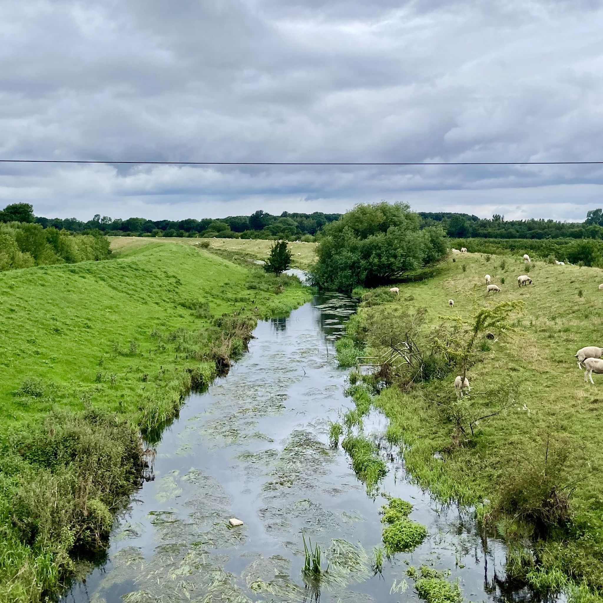
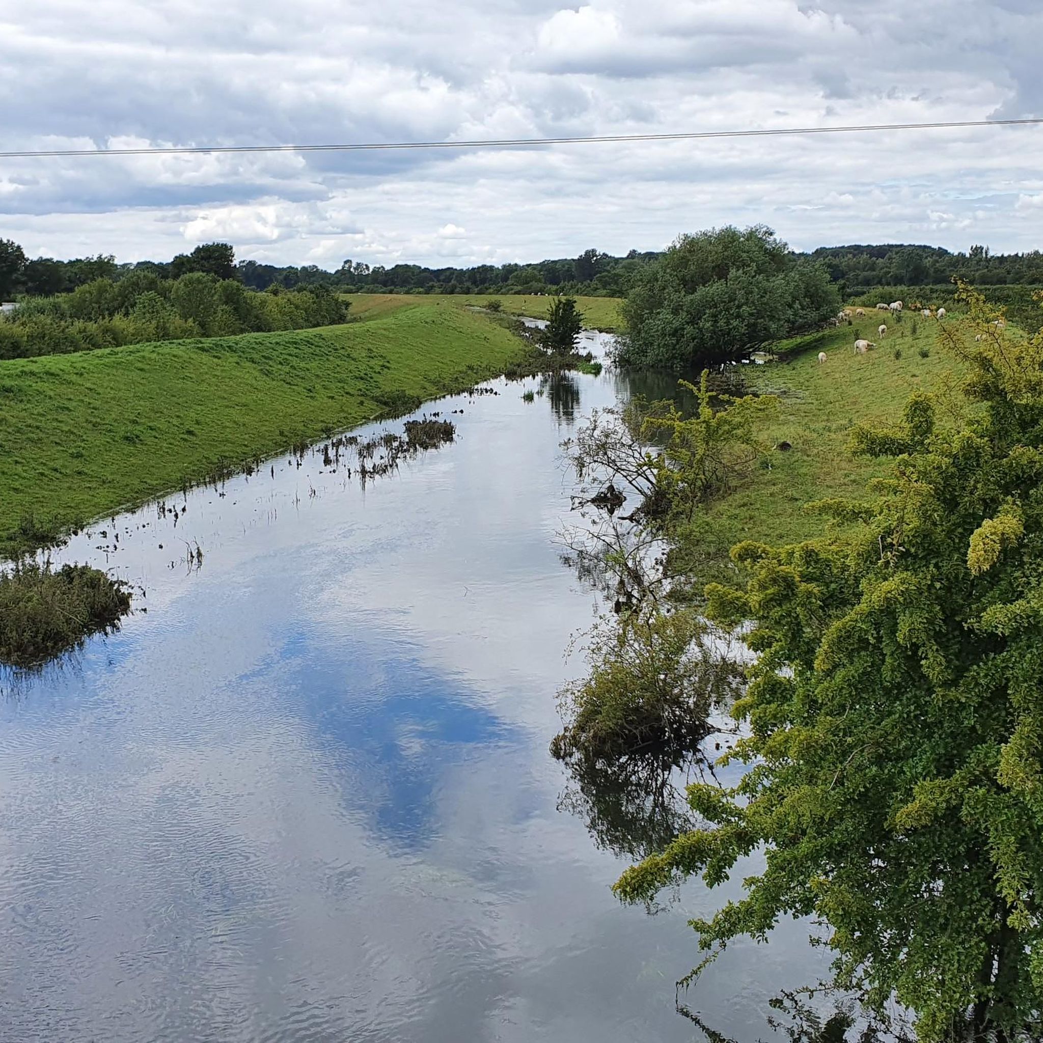
Top Lane Lift Bridge is a minor waterways place on the Sheffield and South Yorkshire Navigation (New Junction Canal) between Sykehouse Lift Bridge (Sykehouse village is about a mile to the east.) (3 miles and 2¼ furlongs and 1 lock to the northeast) and Bramwith Junction (Junction of Sheffield and South Yorkshire Navigation main line with New Junction Canal) (1 mile and 1¾ furlongs to the southeast). https://canalplan.uk/place/qpdl
1
0
Kirkhouse Green Lift Bridge is a minor waterways place on the Sheffield and South Yorkshire Navigation (New Junction Canal) between Sykehouse Lift Bridge (Sykehouse village is about a mile to the east.) (2 miles and 4¾ furlongs and 1 lock to the northeast) and Bramwith Junction (Junction of Sheffield and South Yorkshire Navigation main line with New Junction Canal) (1 mile and 7½ furlongs to the southwest). https://canalplan.uk/place/5kba
1
0
Sykehouse Lock is a minor waterways place on the Sheffield and South Yorkshire Navigation (New Junction Canal) between Sykehouse Lift Bridge (Sykehouse village is about a mile to the east.) (6¾ furlongs to the northeast) and Bramwith Junction (Junction of Sheffield and South Yorkshire Navigation main line with New Junction Canal) (3 miles and 5½ furlongs to the southwest). https://canalplan.uk/place/jr5b
1
0

A pretty section of canal towpath that's easy hiking on a well-compacted gravel surface. Give a wave to the barges as they coast by!
0
0

Bentley Community Woodland 31.4m P25.5 (103ft) County of Yorkshire Definitive List Summit
0
0

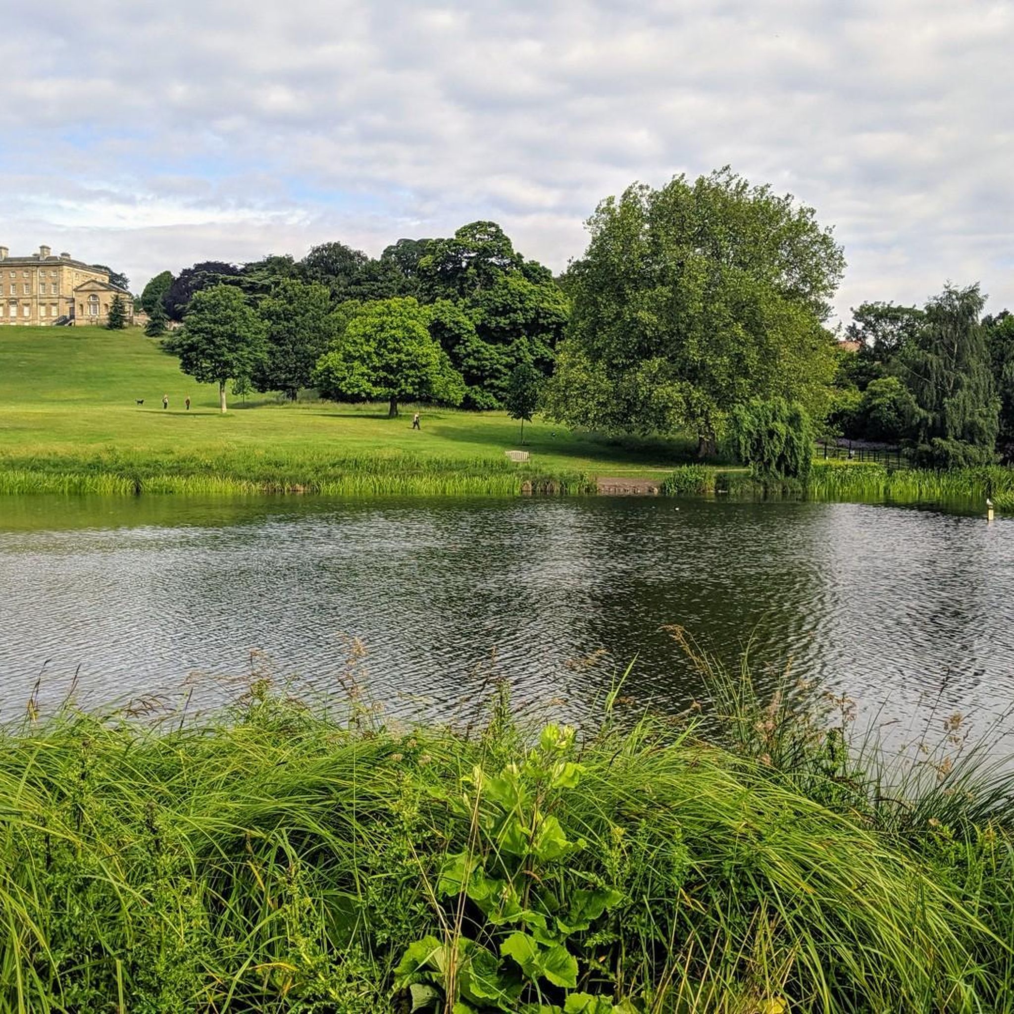
Enjoy a peaceful walk through Thorpe Marsh Nature Reserve with pastures lined with hedgerows, ponds, lakes and small woodlands. With such varied habitats supporting a wide range of plants and animals you are guaranteed to see or hear something of interest.
0
0
Frequently Asked Questions
Are there many circular walks around Thorpe-in-Balne?
Yes, many of the trails in the area are circular, making it easy to start and end your walk in the same place. The terrain is generally flat, featuring paths through open farmland, nature reserves, and along canal towpaths. A good example of a longer circular route is the Quarry Park – Wildflower Meadow loop from Edenthorpe, which takes you through varied local landscapes.
What are the trails like in Thorpe-in-Balne?
The hiking is characterized by gentle, flat terrain across the South Yorkshire countryside. You can expect to walk on well-trodden public footpaths, canal towpaths, and trails through nature reserves like Thorpe Marsh. The area is defined by its open farmland, lowland grasslands, and patches of woodland.
Are there any easy, family-friendly walks?
Absolutely. The region's flat landscape makes it ideal for families and casual walkers. There are over 90 easy-rated routes to choose from. For a shorter, accessible walk, consider the Bentley Pit Lakes – Bentley Community Woodland loop from Bentley, which is under 5 kilometers and explores a local woodland area.
Can I bring my dog on the trails?
Yes, the area is generally dog-friendly, with plenty of open space and public footpaths. However, when walking through farmland or nature reserves like Thorpe Marsh, you should keep your dog on a lead to avoid disturbing livestock and wildlife, especially during bird nesting season.
What is the Thorpe Marsh Nature Reserve like for walking?
The Thorpe Marsh Nature Reserve is a key feature of many local walks. It's a 77-hectare reserve on the River Don floodplain with footpaths through grasslands, woodlands, and around a large lake. It's a fantastic spot for birdwatching and enjoying the peaceful scenery. You can find more information on the Visit Doncaster website.
How do komoot users rate the hikes in Thorpe-in-Balne?
The hikes around Thorpe-in-Balne are highly regarded by the komoot community, with an average rating of 4.6 stars. Hikers often praise the peaceful atmosphere, the well-maintained paths along canals, and the abundance of wildlife in the nature reserves.
Are there any long-distance paths in the area?
Yes, the Trans Pennine Trail passes near Thorpe-in-Balne. This major coast-to-coast route is popular with walkers and cyclists, and many local loops incorporate sections of it. The trail is generally well-surfaced with gentle gradients, making it very accessible.
Where can I park for free to start a walk?
Many walks start from residential streets in villages like Thorpe-in-Balne, Bentley, or Braithwaite where on-street parking is often available. Please park considerately. For routes starting at the Thorpe Marsh Nature Reserve, there is a small car park available, but spaces can be limited during peak times.
How many hiking trails are there around Thorpe-in-Balne?
There are over 170 hiking routes to explore around Thorpe-in-Balne on komoot. These range from short, easy strolls to more moderate, longer-distance loops, ensuring there's a trail for every fitness level.
What should I pack for a hike in this area?
Sturdy walking shoes or boots are recommended as some paths can be muddy, especially after rain. Given the open and flat landscape, waterproof and windproof layers are a good idea. Also, bring water and snacks, as services are sparse along the trails themselves. Binoculars are great for birdwatching in the nature reserves.
Are the trails accessible by public transport?
Yes, the nearby town of Bentley has a train station, and local bus services connect the villages in the area, including Thorpe-in-Balne and Arksey. Many trailheads can be reached with a short walk from a bus stop or train station, making it possible to explore the region without a car.
Most popular attractions around Thorpe-In-Balne

Get inspired with the komoot mobile app


Explore more
Browse the best Hikes in other regions.
