The best road cycling routes around Kirk Bramwith
4.7
(63)
2,454
riders
185
rides
Road cycling around Kirk Bramwith is characterized by its predominantly flat topography, making it accessible for various skill levels. The region features an extensive network of scenic canal towpaths, including the New Junction Canal, and quiet country lanes. These routes often utilize paved surfaces, providing an ideal environment for road and touring bikes. The landscape is defined by waterways, wet grasslands, and rural scenery, offering a tranquil backdrop for cycling.
Best road cycling routes around Kirk Bramwith
- The most popular…
Last updated: June 28, 2026
4.3
(3)
49
riders
Moderate road ride. Good fitness required. Mostly well-paved surfaces and easy to ride.
29
riders
99.6km
04:03
270m
270m
Moderate road ride. Good fitness required. Mostly well-paved surfaces and easy to ride.

Sign up for free
12
riders
Moderate road ride. Good fitness required. Mostly well-paved surfaces and easy to ride.
15
riders
50.6km
01:58
100m
100m
Easy road ride. Great for any fitness level. Mostly well-paved surfaces and easy to ride.
14
riders
93.5km
03:45
150m
150m
Moderate road ride. Good fitness required. Mostly well-paved surfaces and easy to ride.
Get access to more routes and recommendations from other explorers.
Sign up for free
Already have an account?
Our route recommendations are based on thousands of hikes, rides, and runs completed by other people on komoot.
Start today with a free account
Your next adventure awaits.
Login or Signup

Tips from the Community

Impassable passage for touring bikes! What were the English thinking??!!
0
0

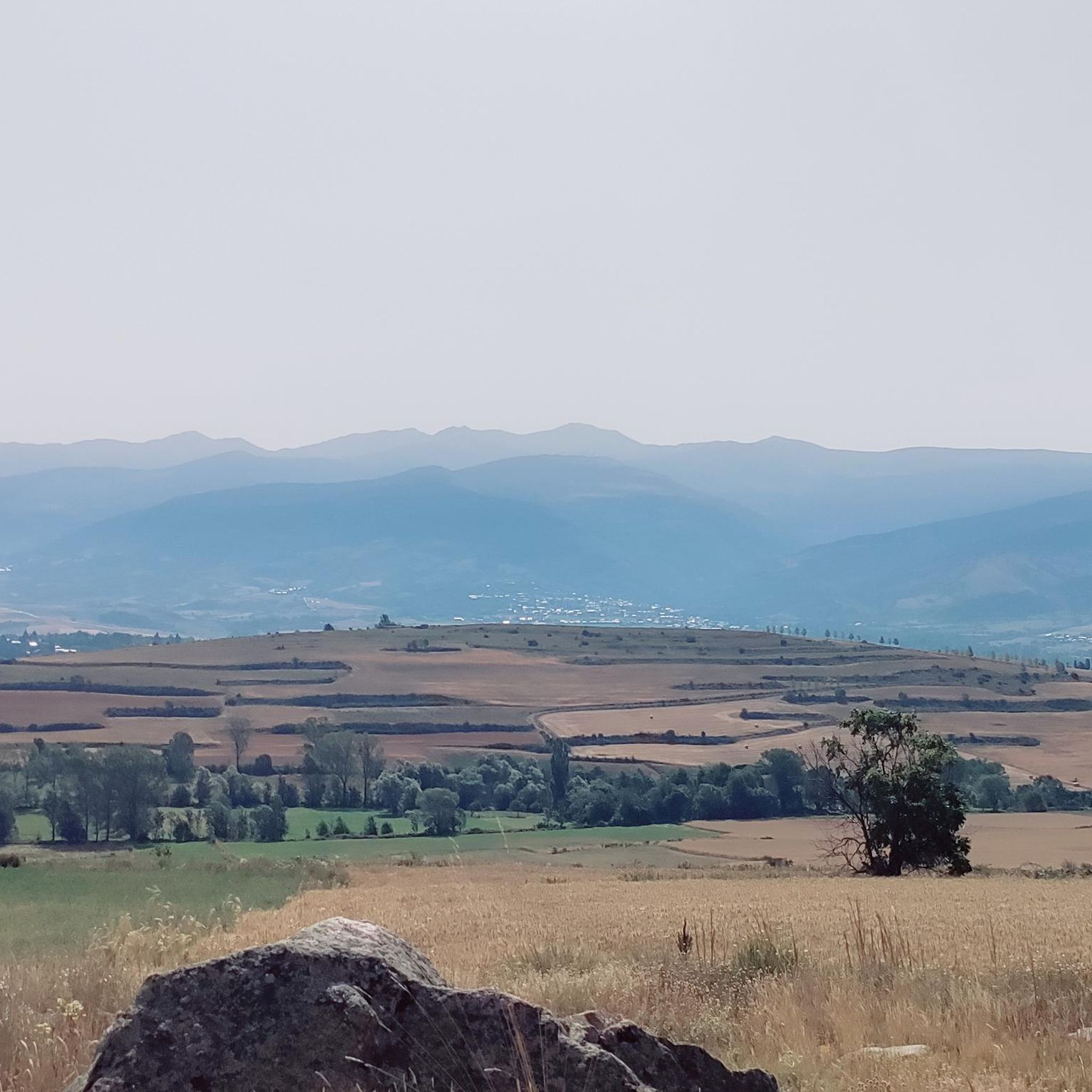
Worth stopping for these beautiful murals by Phoebe Traquair
1
0


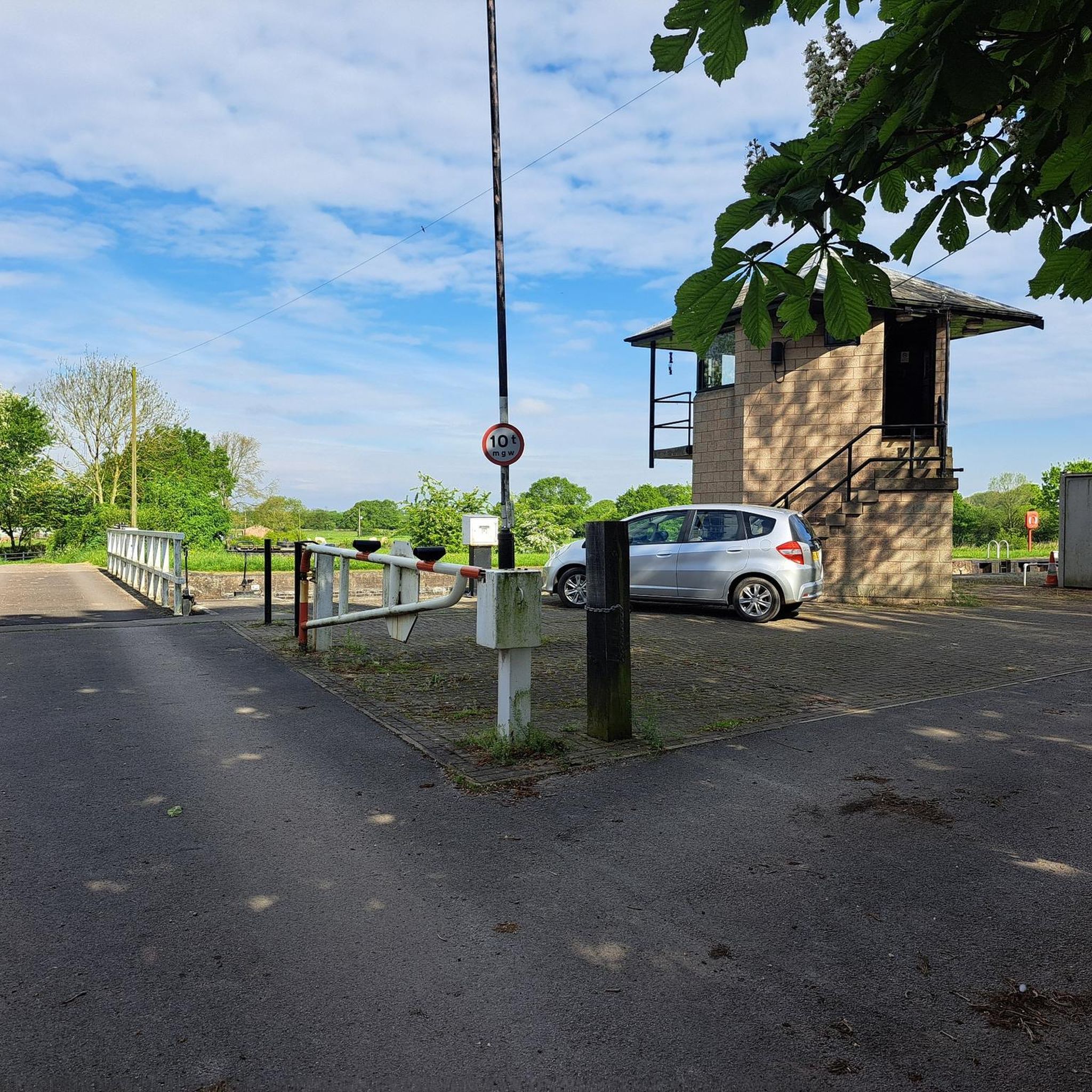
Low Lane Swing Bridge is a minor waterways place on the Sheffield and South Yorkshire Navigation (New Junction Canal) between Sykehouse Lift Bridge (Sykehouse village is about a mile to the east.) (3 miles and 5½ furlongs and 1 lock to the northeast) and Bramwith Junction (Junction of Sheffield and South Yorkshire Navigation main line with New Junction Canal) (6¾ furlongs to the southwest). https://canalplan.uk/place/emmj
1
0
Top Lane Lift Bridge is a minor waterways place on the Sheffield and South Yorkshire Navigation (New Junction Canal) between Sykehouse Lift Bridge (Sykehouse village is about a mile to the east.) (3 miles and 2¼ furlongs and 1 lock to the northeast) and Bramwith Junction (Junction of Sheffield and South Yorkshire Navigation main line with New Junction Canal) (1 mile and 1¾ furlongs to the southeast). https://canalplan.uk/place/qpdl
1
0
Kirkhouse Green Lift Bridge is a minor waterways place on the Sheffield and South Yorkshire Navigation (New Junction Canal) between Sykehouse Lift Bridge (Sykehouse village is about a mile to the east.) (2 miles and 4¾ furlongs and 1 lock to the northeast) and Bramwith Junction (Junction of Sheffield and South Yorkshire Navigation main line with New Junction Canal) (1 mile and 7½ furlongs to the southwest). https://canalplan.uk/place/5kba
1
0
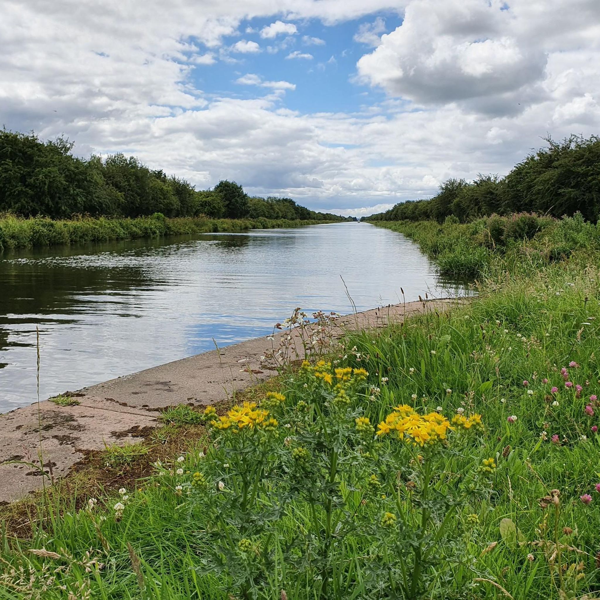
Liftbridge over the New Junction Canal. Sykehouse village is about a mile to the east.
1
0

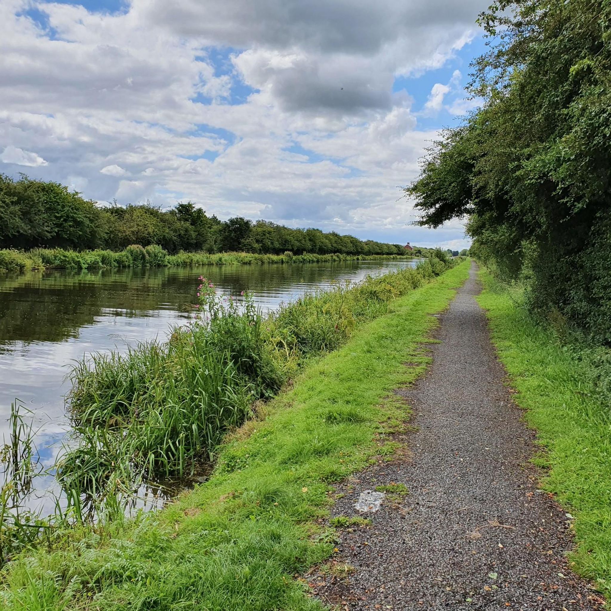
Nice cycle path along the Selby Canal.
0
1
Frequently Asked Questions
What kind of terrain can I expect on road cycling routes in Kirk Bramwith?
The region around Kirk Bramwith is predominantly flat, making it ideal for road cycling. You'll find an extensive network of scenic canal towpaths, including the New Junction Canal, and quiet country lanes. Most routes feature paved surfaces, providing a smooth and consistent ride for road and touring bikes.
How many road cycling routes are available around Kirk Bramwith?
There are over 190 road cycling routes around Kirk Bramwith, offering a wide variety of options for different skill levels and preferences. This includes 73 easy routes, 110 moderate routes, and 12 more challenging options.
Are there road cycling routes suitable for beginners or families in Kirk Bramwith?
Yes, Kirk Bramwith is very well-suited for beginners and families due to its predominantly flat topography. There are 73 easy routes available, perfect for relaxed rides without significant elevation changes. These routes often follow quiet country lanes and canal towpaths.
Are there options for long-distance road cycling near Kirk Bramwith?
Absolutely. The flat terrain and network of paths make it great for longer rides. For example, the The Pantry Café – Sandtoft Airfield loop from Hatfield & Stainforth is a moderate 61.9-mile (99.6 km) route, offering extensive riding through the rural landscape. Another option is the Low Lane Swing Bridge – Selby Canal loop from Hatfield & Stainforth, which covers 93.5 km.
What are some notable landmarks or attractions I might see along the road cycling routes?
While cycling, you'll encounter the impressive canal system, including the New Junction Canal and its aqueduct over the River Don. You might also pass by historical features like the Low Lane Swing Bridge. Further afield, you could spot Carlton Towers or explore the Neolithic House and Trackway in Humberhead Peatlands.
Can I find circular road cycling routes in Kirk Bramwith?
Yes, many of the road cycling routes around Kirk Bramwith are designed as loops, allowing you to start and finish at the same point. For instance, the popular Café in Epworth – St Nicholas' Church, Haxey loop from Hatfield & Stainforth is a 31.7-mile circular path, and the The Old Rectory, Epworth – Café in Epworth loop from Hatfield & Stainforth is another great circular option.
What do other road cyclists enjoy most about cycling in Kirk Bramwith?
The area is highly rated by the komoot community, with an average score of 4.7 stars from over 50 reviews. Cyclists often praise the tranquil rural scenery, the flat and well-maintained paths along the canals, and the quiet country lanes that provide a peaceful riding experience away from heavy traffic.
Are there opportunities to see wildlife while road cycling in Kirk Bramwith?
Yes, the natural environment around Kirk Bramwith, defined by its canals, rivers, wet grasslands, and ponds, creates important habitats for diverse wildlife. You might spot various bird species, dragonflies, and even water voles, particularly along the New Junction Canal and River Don Navigation.
What are some of the most popular road cycling routes in the area?
Among the most popular routes are The Pantry Café – Sandtoft Airfield loop from Hatfield & Stainforth, a 61.9-mile moderate trail, and Café in Epworth – St Nicholas' Church, Haxey loop from Hatfield & Stainforth, a 31.7-mile moderate path. Another local favorite is The Old Rectory, Epworth – Café in Epworth loop from Hatfield & Stainforth, an easy 31.4-mile trail.
Can I find advanced or challenging road cycling routes in Kirk Bramwith?
While the region is predominantly flat, there are 12 routes classified as difficult for those seeking a greater challenge. These routes may cover longer distances or incorporate more varied terrain, though significant elevation changes are rare. You can explore these options on komoot to find one that suits your advanced riding preferences.
Are there any specific cycle paths or traffic-free sections for road cyclists?
Yes, the extensive network of canal towpaths, often forming part of the Trans Pennine Trail, provides long-distance cycling opportunities along picturesque river routes and former railway paths. You can also find specific traffic-free sections like the Traffic-Free Section of NCN62, offering a safe and enjoyable ride.
Most popular attractions around Kirk Bramwith

Get inspired with the komoot mobile app


Explore more
Browse the best Road cycling routes in other regions.
