The best walks and hikes around Wetterzeube
4.6
(3518)
10,525
hikers
91
hikes
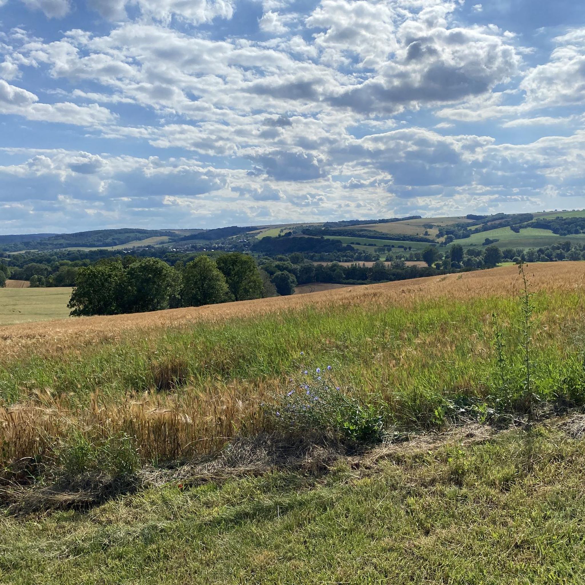
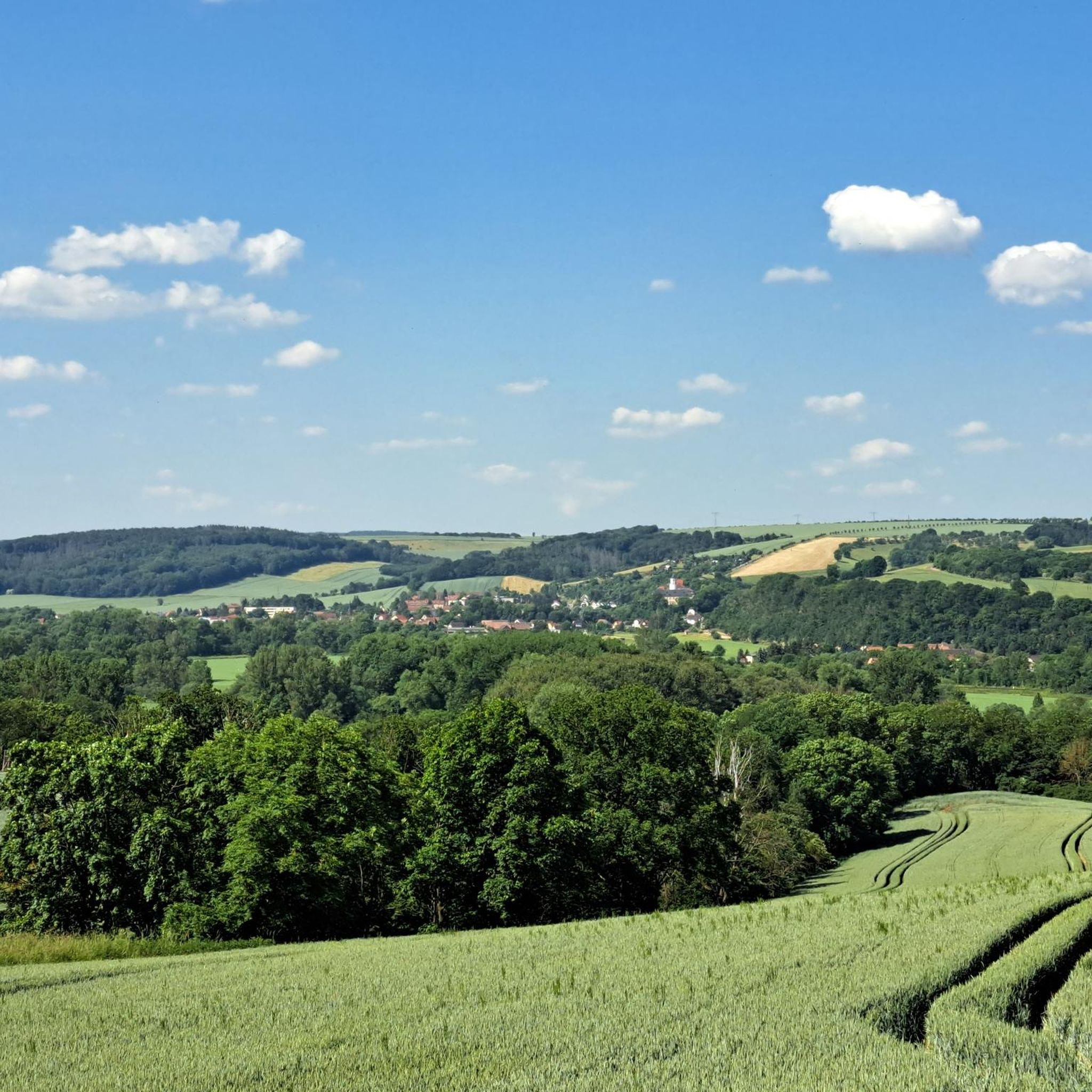
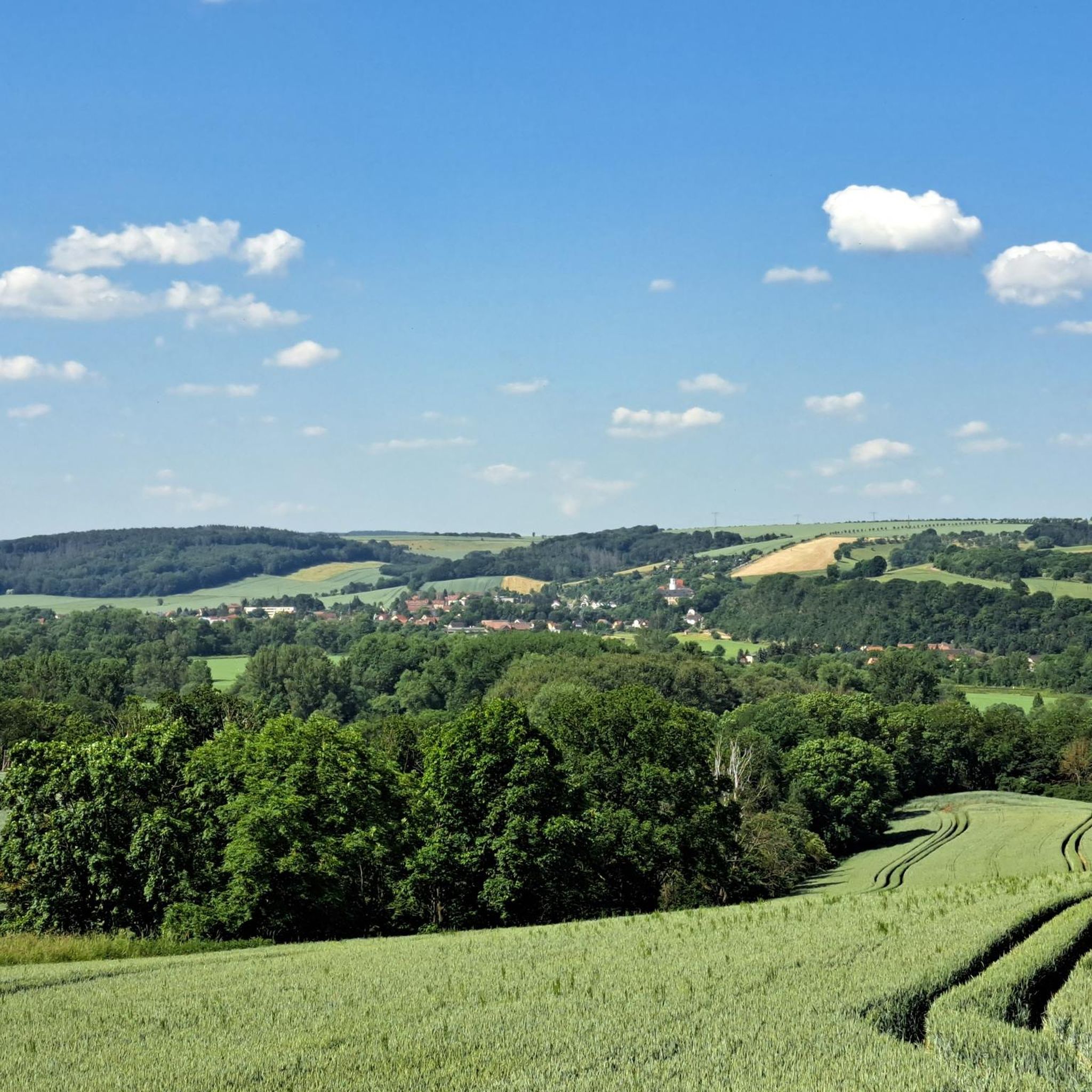
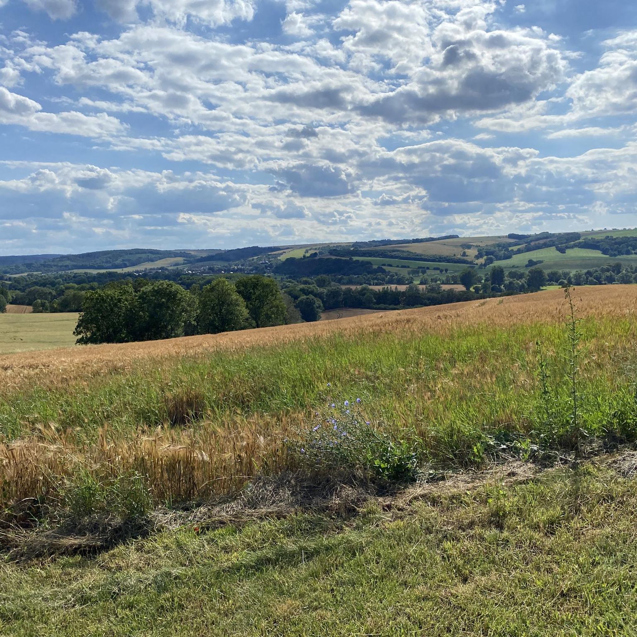
Hiking around Wetterzeube is characterized by a landscape of rolling hills, dense forests, and scenic river valleys, notably the Mühltal and the White Elster river. Elevations in the region range from approximately 590 feet (180 meters) to 1,161 feet (354 meters), offering varied terrain for outdoor activities. The area features shaded paths along creeks and open views over valleys, providing diverse hiking experiences.
Best hiking trails around Wetterzeube
- The most popular hiking route is Rest area with art on the…
Last updated: August 31, 2026
4.5
(8)
37
hikers
14.2km
03:52
210m
210m
Moderate hike. Good fitness required. Easily-accessible paths. Suitable for all skill levels.
4.3
(11)
21
hikers
13.9km
03:48
220m
220m
Moderate hike. Good fitness required. Easily-accessible paths. Suitable for all skill levels.

Sign up for free
4.9
(8)
26
hikers
9.14km
02:33
160m
160m
Moderate hike. Good fitness required. Easily-accessible paths. Suitable for all skill levels.
4.6
(10)
22
hikers
8.99km
02:26
130m
130m
Moderate hike. Good fitness required. Easily-accessible paths. Suitable for all skill levels.
4.9
(7)
22
hikers
Moderate hike. Good fitness required. Easily-accessible paths. Suitable for all skill levels.
Get access to more routes and recommendations from other explorers.
Sign up for free
Already have an account?
Our route recommendations are based on thousands of hikes, rides, and runs completed by other people on komoot.
Start today with a free account
Your next adventure awaits.
Login or Signup

Tips from the Community

Magnificent castle in the restored parts - truly worth seeing!
0
0

The Elster Bridge is a seven-arch bridge and a technical cultural monument from the late 19th century.
10
0

Here you can relax and gather a wealth of information about the Mühlberg. It is arguably one of the most beautiful hiking destinations around Crossen. There is also a nature trail where you can see trees of different ages. Today I mapped all the remaining paths on the Mühlberg and added them to OpenStreetMap. These paths will also be shown on the map in the next update.
3
0

I love this platform! A railway employee opens a garden gate and removes a red and white plastic chain on the platform. It feels very VIP and exclusive.
0
0

A beautifully renovated manor house with a fantastic playground. You can enjoy good food and even host family celebrations here.
0
0

My TIP: The hike and the entire region are very well described in the following book: GERA & Thuringian Vogtland A HIKING GUIDE & TRAVEL GUIDE for active vacationers, hikers, car and culture tourists with hikes near Gera, in the Thuringian Vogtland and on the Weiße Elster Weg, Thuringian Lutherweg, Zeulenrodaer Talsperrenweg, Weidatalweg, Hohenwarte Stausee Weg and in the Plothener Teichgebiet. Country and people section: Interesting facts about nature, history, culture, language & cuisine Travel section: Description of the cities, villages, regions with their sights Hiking section: 39 hiking tour descriptions with overview maps Travel & hiking guide: GERA & Thuringian Vogtland with Greiz, Saalfeld, Plauen... Publisher REISEBUCH-KARHU Price: 17.95 € ISBN: 978-3-98165-772-2 Information about the book & possibility to order: https://www.reise-karhu.de/reisebuecher/gera-thueringer-vogtland.html
0
0

Unfinished and unconsecrated church, but nevertheless architecturally impressive, such a beautiful, simple space.
0
0
Frequently Asked Questions
How many hiking trails are available in Wetterzeube?
Wetterzeube offers a wide variety of hiking experiences, with over 90 trails available. These range from easy strolls to more challenging routes, catering to different preferences and fitness levels.
What is the best time of year to go hiking in Wetterzeube?
The best seasons for hiking in Wetterzeube are spring and autumn. During these times, temperatures are mild, and the landscape is particularly vibrant with blooming flowers or colorful foliage, making for very scenic walks.
Are there options for different hiking skill levels in Wetterzeube?
Yes, Wetterzeube provides a diverse network of trails suitable for various abilities. You'll find approximately 45 easy routes perfect for a relaxed outing, 45 moderate trails for those seeking a bit more challenge, and a couple of difficult options for experienced hikers.
What historical sites or landmarks can I explore while hiking in Wetterzeube?
The region is rich in history. You can explore impressive medieval castle complexes like the one accessible via the 'Burgensteig' trail, or visit the beautifully restored Haynsburg Castle Tavern. The area also features old mills, such as the Schneidemühle, many of which have been converted into restaurants or hotels.
Are there any scenic natural features to discover on hikes in Wetterzeube?
Absolutely. Wetterzeube is known for its picturesque forests, rolling hills, and river valleys. The Mühltal valley is a central natural feature, offering lush, shaded paths along a creek. You can also discover gorges like Fuchsklamm Gorge or Ernsee Gorge, providing unique natural beauty.
Can I find places to eat or rest along the hiking trails?
Yes, especially along routes like the Eisenberger Mühltal Cycle Path, which is also suitable for hiking. This path features numerous opportunities to stop at old mills that now serve as restaurants or cafes, offering food, drinks, and breaks. The Schneidemühle is one such example.
What do other hikers enjoy most about the trails in Wetterzeube?
The trails in Wetterzeube are highly regarded by the komoot community, boasting an average rating of 4.7 out of 5 stars from over 250 reviews. Hikers frequently praise the varied scenery, from dense forests to open views, and the well-maintained paths that cater to different experience levels.
Are there family-friendly hiking options in Wetterzeube?
Yes, Wetterzeube offers several family-friendly options. Many of the easy trails are suitable for families, and the region includes attractions like a bathing lake with a dedicated nature trail for learning about local flora and fauna. The Glacial Erratic Garden Forest Playground – Wilderbach Nature Trail loop from Ossig is a great example of an easy, engaging route.
Are there circular hiking routes available in Wetterzeube?
Many of the hiking routes in Wetterzeube are designed as loops, allowing you to start and end at the same point without retracing your steps. For instance, the Mühlberg – Elster Bridge loop from Wetterzeube offers a scenic circular experience.
Can I bring my dog on the hiking trails in Wetterzeube?
Generally, dogs are welcome on most hiking trails in Wetterzeube, especially in the natural areas like forests and river valleys. It's always a good idea to keep your dog on a leash, especially near wildlife or in more populated areas, and to carry waste bags.
Are there any hikes that offer expansive viewpoints?
Yes, the 'Burgensteig' trail, for example, leads to the impressive remains of a medieval castle complex and provides expansive views over the entire valley, making it perfect for enjoying the regional landscape.
What are the typical trail lengths for hikes in Wetterzeube?
Trail lengths in Wetterzeube vary significantly. You can find shorter, easy walks around 2.4 miles (3.8 km) like the Glacial Erratic Garden Forest Playground – Wilderbach Nature Trail loop from Ossig, up to moderate routes around 8.8 miles (14.2 km) such as the Rest area with art on the table – Bear Enclosure Droyßig loop from Wetterzeube, offering options for different time commitments.
Most popular routes around Wetterzeube
Most popular attractions around Wetterzeube

Get inspired with the komoot mobile app


Explore more
Browse the best Hikes in other regions.
