The best cycling routes in the Wet Mountains
87
riders
6
rides
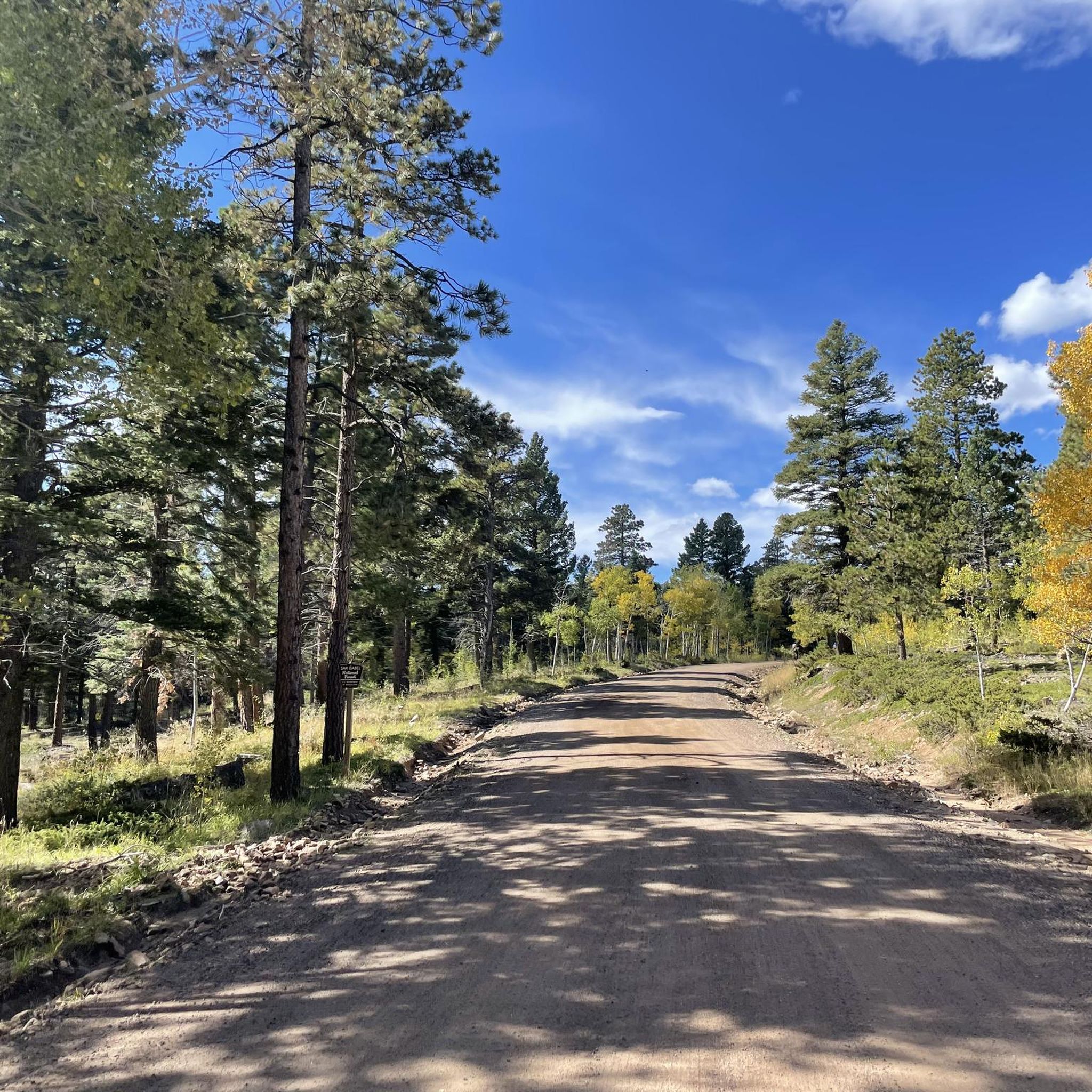
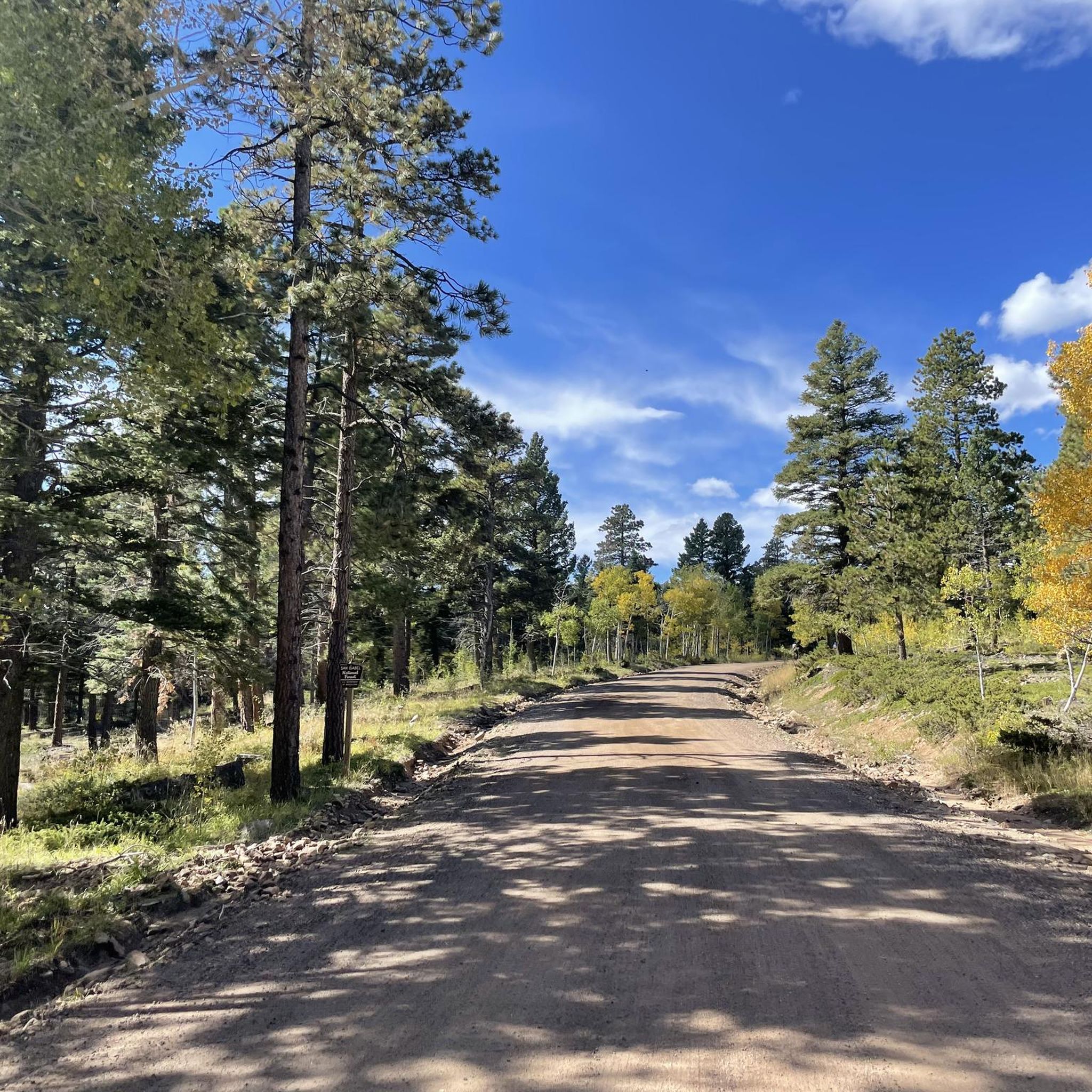
Touring cycling in the Wet Mountains, Colorado, offers diverse terrain ranging from paved roads to gravel and dirt paths. The region features continuous vistas of mountain peaks, including views of the Sangre de Cristo Mountains, and incorporates sections of the San Isabel National Forest. Cyclists encounter a mix of valley floors and winding, hilly roads, with the Arkansas River providing scenic routes.
Best touring cycling routes in the Wet Mountains
- The most popular touring cycling route is Cripple Creek from…
Last updated: June 24, 2026
2
riders
81.8km
07:09
1,600m
1,600m
Hard bike ride. Very good fitness required. Mostly paved surfaces. Suitable for all skill levels.
32
riders
Moderate bike ride. Good fitness required. Mostly paved surfaces. Suitable for all skill levels.

Sign up for free
15
riders
Hard bike ride. Very good fitness required. Mostly paved surfaces. Suitable for all skill levels.
17
riders
24.8km
01:58
130m
130m
Easy bike ride. Great for any fitness level. Mostly paved surfaces. Suitable for all skill levels.
16
riders
24.5km
02:10
140m
140m
Moderate bike ride. Good fitness required. Mostly paved surfaces. Suitable for all skill levels.
5
riders
13.9km
01:10
70m
70m
Easy bike ride. Great for any fitness level. Mostly paved surfaces. Suitable for all skill levels.
Our route recommendations are based on thousands of hikes, rides, and runs completed by other people on komoot.
Start today with a free account
Your next adventure awaits.
Login or Signup
Popular around Wet Mountains
Tips from the Community

The Arkansas River Trail is a 5.6 mile loop on both sides of the Arkansas River. The trail is paved and mostly flat, so it is not a challenging trail. There are great views of the river for most of the trail.
0
0

Shelf Road is an old stage coach route that connects Canon City with Cripple Creek. It is incredibly scenic with breathtaking views at almost every corner. It's a long climb up to Cripple Creek with an elevation gain of 3000 ft, but the way back down is absolutely magic. It can be technical gravel in places.
0
0
There is a spectacular view of Spiney Ridge as you descend down Shelf Road. It is a popular place for climbing and really takes your breath away when it comes into view.
1
1
Known in the late 19th century as 'the world's greatest gold camp', Cripple Creek sprang to life when gold was discovered here in 1890. At its height, it was home to over 500 mines. It is now famous for its both historic and new casinos. You'll find plenty of places to eat, drink and stay in the city.
0
0
Known in the late 19th century as 'the world's greatest gold camp', Cripple Creek sprang to life when gold was discovered here in 1890. At its height it was home to over 500 mines. It is now famous for its both historic and new casinos. You'll find plenty of places to eat, drink and stay in the city.
0
0
Known at 'The City of Mines, gold was first discovered in Victor in 1891. It is worth visiting for a taste of life in the gold rush. Even cycling through you can see many 'gallows frames' on the hillside. Officially called headframes, they were used to hoist things out of the mine.
1
0

Beautiful, easy and flat walk along the Arkansas River. The trail starts in downtown Cañon City, but has peaceful areas to chill, with some benches and picnic tables.
0
0

The Phantom Canon Road is an unpaved legendary road that leads from Victor directly down to Canon City for about 50km. Perfect for a mountain bike tour. Traffic is moderate. You should take enough provisions with you, as there are no rest stops along the way and mobile phone reception also breaks down from time to time.
2
0
Frequently Asked Questions
What types of terrain can I expect when touring cycling in the Wet Mountains?
The Wet Mountains offer a diverse range of terrain for touring cyclists. You'll find everything from paved roads suitable for leisurely rides to challenging gravel and dirt paths, especially within the San Isabel National Forest. The region features continuous vistas of mountain peaks, including views of the Sangre de Cristo Mountains, and routes along the Arkansas River valley. Some areas, like the subdivisions on the east side of the valley, provide winding, hilly roads with significant vertical gains, offering an exhilarating 'rollercoaster' ride.
Are there any easy touring cycling routes suitable for beginners or casual riders?
Yes, there are several easy routes perfect for beginners or those seeking a more relaxed ride. For instance, the Tunnel Drive Trail – Arkansas River Trail loop from Royal Gorge Route Railroad is an easy 9-mile (14.4 km) path. Another great option is the Arkansas River Trail loop from Lincoln Park, which is about 9.6 miles (15.5 km) and offers scenic river views on mostly paved surfaces.
Where can I find challenging gravel touring cycling routes in the Wet Mountains?
The Wet Mountains are a hidden gem for gravel riding, with over 350 miles of maintained gravel roads. A prime example is the Cripple Creek from Canon City on the Shelf Road - Gravel ride. This difficult 50.8-mile (81.8 km) route follows the historic Shelf Road, presenting a significant challenge with over 5,000 feet of elevation gain and rewarding riders with breathtaking views at almost every corner. The San Isabel National Forest also offers hundreds of miles of off-pavement riding on fire roads and two-track OHV trails.
Are there any family-friendly touring cycling trails in the Wet Mountains?
For families, the Tunnel Drive Trail – Tunnel Drive Trail loop from Royal Gorge Route Railroad is a moderate 14.5-mile (23.3 km) path with mostly paved surfaces, making it suitable for various skill levels. The Arkansas River Trail, a 5.6-mile paved loop, also provides scenic views and is generally suitable for all fitness levels, including families.
What are some notable natural features or landmarks I might see while cycling?
Cyclists in the Wet Mountains can enjoy continuous vistas of the Sangre de Cristo Mountains, especially along the valley floor. The Arkansas River is a prominent feature, with routes running alongside it. As you descend Shelf Road, you'll be treated to a spectacular view of Spiney Ridge. A significant portion of the area also falls within the San Isabel National Forest, offering expansive wild landscapes.
Are there any long-distance touring cycling routes in the Wet Mountains?
Yes, the Wet Mountains are part of longer touring routes. A portion of the Western Express Bicycle Route traverses the Wet Mountains, connecting Salida to Pueblo and offering a mix of terrain including the narrow Arkansas River valley and the climb over the Wet Mountains via CO 69 and CO 96. For a challenging local long-distance option, consider the Arkansas River Trail – Start of Phantom Canyon Road loop from Royal Gorge Route Railroad, which is 68.9 miles (111.1 km) long.
What is the best time of year to go touring cycling in the Wet Mountains?
The best time for touring cycling in the Wet Mountains is generally from late spring through early fall. During these months, the weather is most favorable, and trails are typically free of snow. Summer offers warm temperatures, while spring and fall provide cooler rides and beautiful scenery. Always check local conditions, especially for higher elevation routes, as snow can persist into late spring or arrive early in the fall.
Are there any loop routes available for touring cyclists?
Yes, several loop routes are available. The Tunnel Drive Trail – Arkansas River Trail loop from Cañon City is an easy 15.4-mile (24.7 km) option. Another moderate choice is the Arkansas River Trail – Tunnel Drive Trail loop from Brookside, covering about 15.2 miles (24.5 km). These loops provide varied scenery without requiring a return trip on the same path.
Where can I find parking for bike trails in the Wet Mountains?
Parking is generally available at trailheads and near popular cycling areas. For routes around Cañon City, you can often find parking near the Royal Gorge Route Railroad or in public parking areas within the city. When exploring routes within the San Isabel National Forest, look for designated parking areas or consider dispersed camping options if planning a multi-day tour. Always check specific route starting points for the most accurate parking information.
Are there any historical sites or towns to explore along the cycling routes?
Yes, the region is rich in history. The historic Shelf Road, an old stagecoach route, connects Cañon City with Cripple Creek. Cripple Creek itself is a historic town known as 'the world's greatest gold camp' in the late 19th century, offering historical interest with its past of over 500 mines, as well as places to eat, drink, and stay. The Ghost Town Loop, popular with mountain bikers, also winds through the historic towns of Rosita and Querida, providing a glimpse into the region's gold rush past.
Can I find places to eat or stay near the touring cycling routes?
Yes, towns like Cañon City, Westcliffe, and Beulah offer various amenities for cyclists. You can find cafes, pubs, and accommodation options in these communities. Cripple Creek, a historic mining town, also provides places to eat, drink, and stay, especially after a challenging ride on the Shelf Road. For multi-day tours, the San Isabel National Forest offers opportunities for dispersed camping.
What makes the Wet Mountains a unique touring cycling destination?
The Wet Mountains stand out due to their unique combination of diverse terrain, spectacular views, and historical points of interest. Cyclists can choose between long, straight roads with constant mountain vistas on the valley floor or winding, hilly roads. The region offers extensive gravel riding opportunities, views of the Sangre de Cristo Mountains, and the chance to explore historic mining towns, all within the stunning backdrop of Colorado's natural beauty.

Get inspired with the komoot mobile app


Explore more
Browse the best Cycling routes in other regions.
