The best road cycling routes around Coltishall
4.6
(116)
4,124
riders
336
rides
Road cycling routes around Coltishall are characterized by the generally flat topography of the Norfolk countryside, making them accessible for various fitness levels. The region is situated within the Norfolk Broads, offering serene river views along the River Bure, expansive marshes, and reedbeds. This landscape provides a scenic backdrop for road cycling, with minimal elevation changes across most routes.
Best road cycling routes around Coltishall
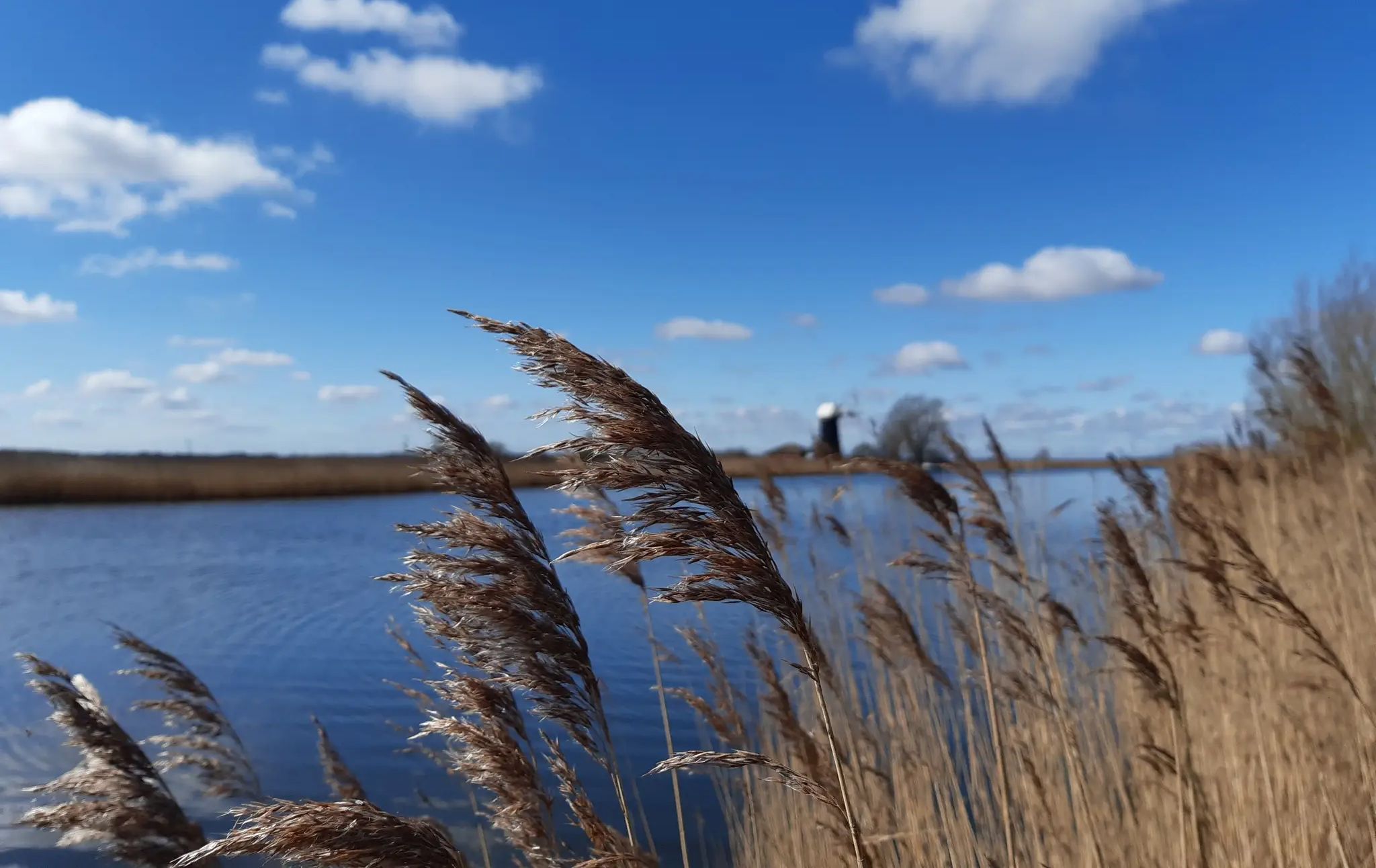
- The most popular road cycling route is Wroxham to Ludham loop – The Broads National Park, a 25.5 miles (41.1 km) trail that takes 1 hour 46 minutes to complete. This easy route offers views of the Broads National Park.
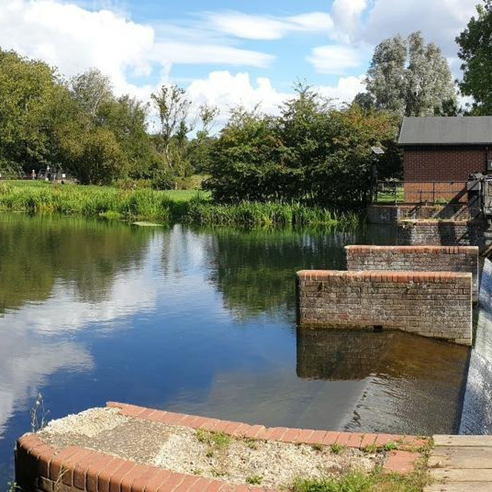
- Another top favourite among local road cyclists is Norwich Castle & Cathedral loop from Wroxham, a moderate 42.0 miles (67.7 km) path. This route connects to Norwich, passing historical landmarks.
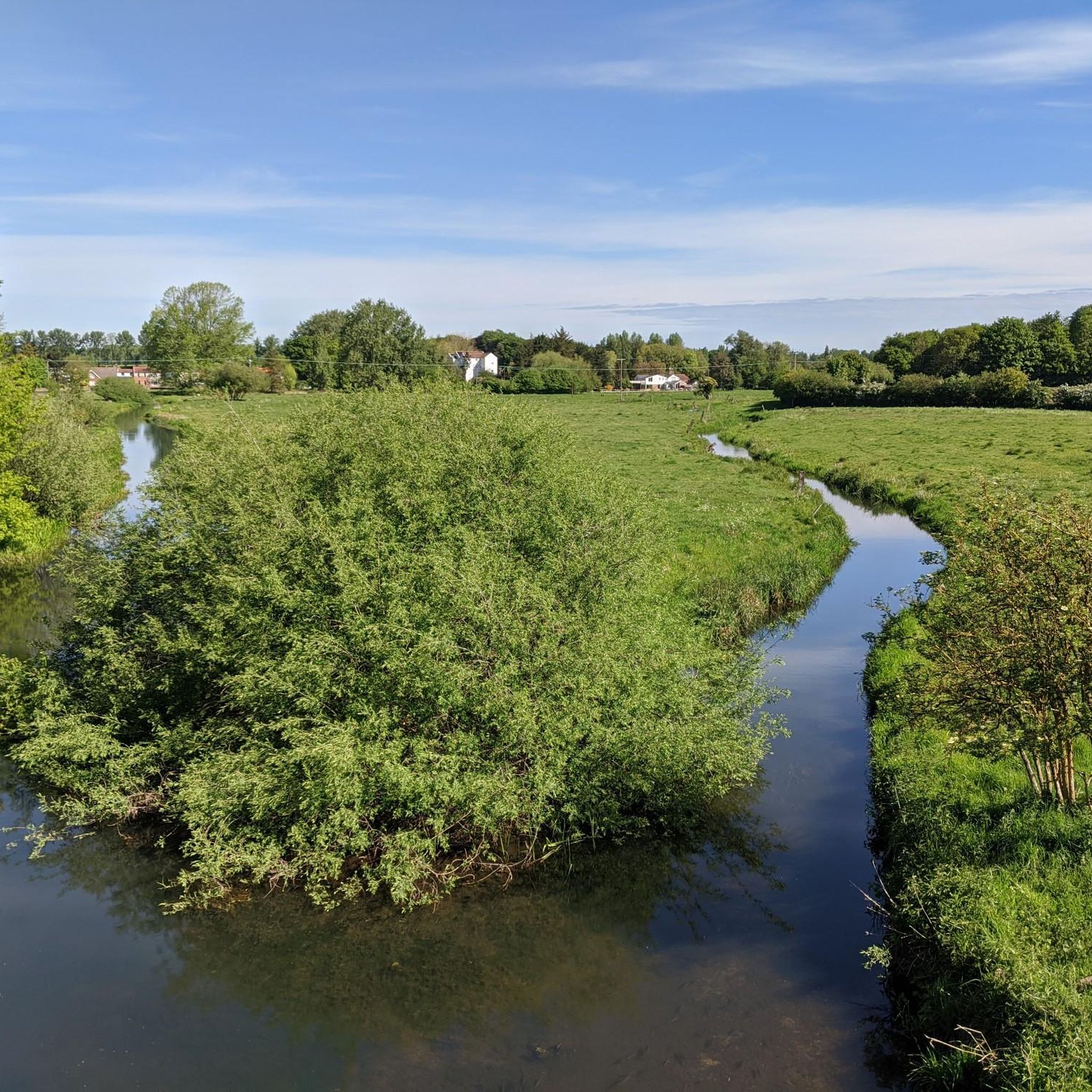
- Local road cyclists also love the Wroxham to Barton Turf loop via Horning Ferry — Norfolk Broads, a 23.9 miles (38.4 km) trail leading through the Norfolk Broads, often completed in about 1 hour 41 minutes.
- Road cycling around Coltishall is defined by the flat terrain, river views, and the unique landscape of the Norfolk Broads. The network offers options for easy, moderate, and more challenging ability levels.
- The routes in Coltishall are highly rated by the komoot community with an average score of 4.6 stars from over 110 reviews. More than 4000 road cyclists have used komoot to explore Coltishall's varied terrain.
Last updated: July 2, 2026
4.6
(9)
69
riders
41.1km
01:46
150m
150m
Embark on an easy racebike journey through the classic beauty of the Norfolk Broads with the Wroxham to Ludham loop. This route spans 25.5 miles (41.1 km) and features a gentle 500 feet (152 metres) of elevation gain, making it an accessible ride for most. You will cycle past vast arable fields, peaceful waterscapes, and charming villages, all under the region's signature giant skies. Expect quiet roads and well-paved surfaces, offering a smooth experience for approximately 1 hours and 46 minutes. As you ride, you will pass notable spots like Ranworth Broad Village and Waterfront, providing a glimpse into the unique character of the Broads National Park.
Planning your visit is straightforward, as the Wroxham to Ludham loop is largely designed for road cycling. The terrain consists of asphalt and paved roads, making it suitable for road bikes, hybrids, or e-bikes. Both Wroxham and Ludham are accessible villages, offering convenient starting points for your ride. You will find opportunities for refreshments at cafes and pubs along the route, perfect for a break. Look out for places like Scooters Cafe if you need a stop.
This loop offers a wonderful way to immerse yourself in the unique natural environment of The Broads National Park. The route highlights the region's distinct blend of land and water, showcasing its iconic waterscapes and rural charm. It provides an excellent opportunity to experience the tranquil atmosphere and open landscapes that define this special area. The easy difficulty ensures that you can focus on enjoying the scenery and the peaceful ride.
4.0
(1)
2
riders
67.7km
02:54
350m
350m
Embark on the Norwich Castle & Cathedral loop from Wroxham, a moderate racebike route spanning 42.0 miles (67.7 km) with an elevation gain of 1145 feet (349 metres). You can expect to complete this journey in approximately 2 hours and 53 minutes. The route offers a dynamic experience, transitioning from the serene Norfolk countryside, past wide open farmland and winding rivers, into the historic heart of Norwich. You will cycle directly past iconic landmarks like Norwich Castle and the magnificent Norwich Cathedral, immersing you in centuries of history. This trail combines rural tranquility with urban exploration, providing a varied ride.
When planning your visit, note that while much of the route is on paved roads, some sections within Norwich may feature unpaved surfaces or cobblestones. For a more comfortable ride, especially through the city, consider using a bike equipped with wider tires. The starting point in Wroxham is conveniently accessible, making it easy to reach by public transport if you prefer not to drive. This allows for a smooth start to your cycling adventure without worrying about parking at the trailhead.
This route is a fantastic way to experience the unique blend of natural beauty and historical significance that defines this part of East Anglia. It highlights the transition from the peaceful Broads National Park landscape to the bustling, ancient city of Norwich. The trail offers a glimpse into the region's past, showcasing its architectural heritage and providing a comprehensive tour that connects two distinct environments. It's an excellent option if you want to combine a good workout with cultural sightseeing.

Sign up for free
5.0
(1)
1
riders
38.4km
01:41
130m
130m
Easy road ride. Great for any fitness level. Some segments of this route may be unpaved and difficult to ride.
4.8
(5)
52
riders
57.6km
02:25
170m
170m
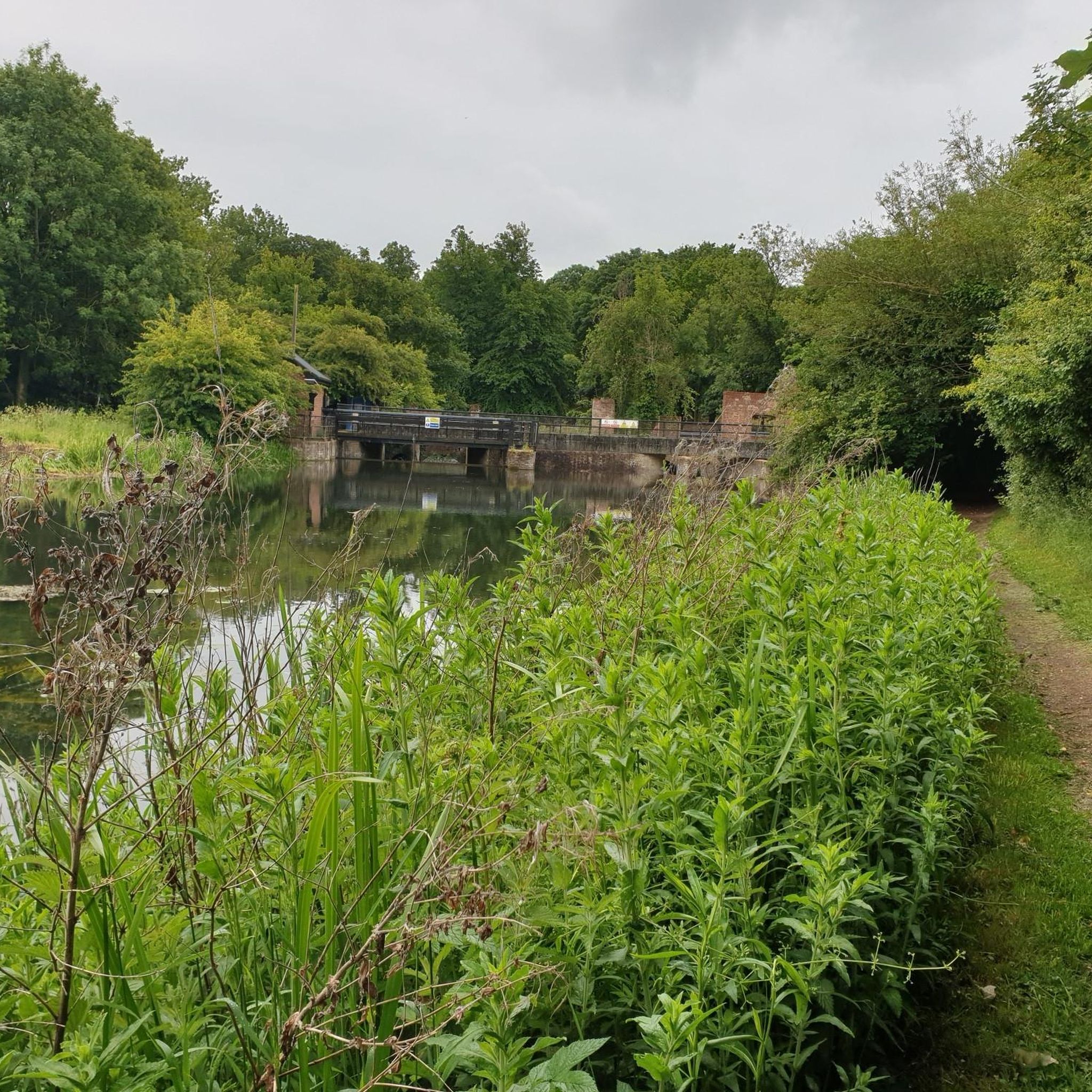
Moderate road ride. Good fitness required. Some segments of this route may be unpaved and difficult to ride.
5.0
(1)
51
riders
28.0km
01:09
110m
110m
Easy road ride. Great for any fitness level. Mostly well-paved surfaces and easy to ride.
Get access to more routes and recommendations from other explorers.
Sign up for free
Already have an account?
Our route recommendations are based on thousands of hikes, rides, and runs completed by other people on komoot.
Start today with a free account
Your next adventure awaits.
Login or Signup
Other adventures around Coltishall

Tips from the Community


Coltishall Station is one of the narrow gauge stations on the Bure Valley Railway line. It's also an access point for the nine mile (14.5 km) Bure Valley Path.
0
0

Impressive fortress that still dominates the centre of Norwich. Now a museum.
0
0
Very impressive Normal cathedral, constructed from imported Normandy limestone.
0
0

Pretty beach . Next village up from Hemsby. Cliff top car park. Wooden hut cafes and gift shops.. council toilets.. access to beach is through the dunes. Cycle path runs along the side of the church...heading to the hidden Chapel.
0
0

One of the major stations and exits to towns along the Bure Valley path, with the paths along this stretch being compacted gravel
0
0
WW2-themed cafe, so a bit of an unusual atmosphere but easy access and outdoor space make it a good option with a bike.
1
0
Lovely views as you cross over the bridge, and plenty of cafes and refreshment options on the north bank.
0
0
Frequently Asked Questions
What kind of terrain can I expect when road cycling around Coltishall?
Road cycling routes around Coltishall are characterized by the generally flat topography of the Norfolk countryside. This makes them accessible for various fitness levels, with minimal elevation changes across most routes. The region is situated within the Norfolk Broads, offering serene river views along the River Bure, expansive marshes, and reedbeds.
Are there many road cycling routes available in the Coltishall area?
Yes, there are over 360 road cycling routes around Coltishall. These routes cater to different distances and skill levels, with 158 easy routes, 199 moderate routes, and 8 more challenging options.
What do other road cyclists enjoy most about the routes in Coltishall?
The road cycling routes in Coltishall are highly rated by the komoot community, with an average score of 4.6 stars from over 110 reviews. Cyclists often praise the flat terrain, scenic river views, and the unique landscape of the Norfolk Broads, which provides a beautiful backdrop for rides.
Are there any family-friendly road cycling options near Coltishall?
Yes, the flat terrain around Coltishall makes it ideal for family-friendly cycling. A notable option is the Bure Valley Path, a mostly traffic-free path that runs alongside the Bure Valley Railway. While primarily a multi-use path, it offers a safe and scenic environment for families to cycle, connecting Coltishall with Aylsham and Wroxham.
Can I find circular road cycling routes around Coltishall?
Many of the road cycling routes around Coltishall are designed as loops. For example, the Wroxham to Barton Turf loop via Horning Ferry — Norfolk Broads is a popular circular route leading through the Norfolk Broads.
What are some scenic highlights or attractions I can see along the road cycling routes?
As you cycle, you can enjoy the unique landscape of the Norfolk Broads, including expansive marshes and reedbeds. Routes often pass by the River Bure. You might also encounter historical sites like Horstead Mill or the Turf Fen Drainage Mill. Many routes offer views of various Broads, such as Barton Broad.
Are there places to stop for refreshments or food along the cycling routes?
Yes, Coltishall and the surrounding villages offer inviting riverside pubs and cafes. Along cycling routes, particularly at Coltishall Common, you can find places like The Rising Sun Pub, Coltishall, perfect for refreshments and meals.
Is there public transport available for cyclists in Coltishall?
Coltishall is connected by local bus services, which may accommodate bikes depending on space and driver discretion. Additionally, the Bure Valley Railway, a narrow-gauge steam railway, runs between Aylsham and Wroxham, passing through Coltishall. It is possible to combine cycling with a train journey, as the railway can transport bikes (subject to space and a small fee).
Where can I park my car when starting a road cycling route in Coltishall?
Coltishall offers various parking options, including public car parks and roadside parking in and around the village, especially near Coltishall Common. Many routes, such as the Coltishall Station – Bure Valley Trail — Marker 5 loop from Coltishall, start directly from the village, making parking convenient.
What is a good moderate-difficulty road cycling route near Coltishall?
For a moderate challenge, consider the Norwich Castle & Cathedral loop from Wroxham. This 42.0-mile (67.7 km) route connects to Norwich, passing historical landmarks and offering a longer ride with slightly more elevation than the easier local loops.
Can I combine road cycling with other activities in the Coltishall area?
Absolutely. Coltishall is known as the 'Gateway to the Broads,' so you can easily combine cycling with boat trips on the River Bure or exploring the many Broads. The Bure Valley Railway also offers a unique opportunity to cycle one way and take a nostalgic steam train ride back. You could also visit Ranworth Broad Village and Waterfront for a break.
What is the best time of year to go road cycling around Coltishall?
The Norfolk Broads region is beautiful year-round, but spring and summer offer the most pleasant weather for road cycling, with longer daylight hours and generally milder temperatures. Autumn can also be very scenic with changing foliage. Winter cycling is possible, but routes may be colder and potentially windier.
Most popular attractions around Coltishall

Get inspired with the komoot mobile app


Explore more
Browse the best Road cycling routes in other regions.
