The best walks and hikes around Wenningstedt-Braderup (Sylt)
4.6
(1795)
10,962
hikers
158
hikes
Hiking around Wenningstedt-Braderup (Sylt) offers diverse landscapes, from coastal paths to heathland and the unique Wadden Sea. The region is characterized by expansive dune systems, the distinctive Red Cliff, and the protected Braderup Heath. These natural features provide varied terrain for exploration, including flat coastal walks and gentle ascents over dunes.
Best hiking trails around Wenningstedt-Braderup (Sylt)
- The most popular hiking route is Westerland Beach – Sylt Beach loop from Wenningstedt, a 6.1 miles (9.8 km) trail that takes 2 hours 30 minutes to complete, offering views along the coastline.
- Another top favourite among local hikers is Red Cliff (Rotes Kliff) – Red Cliff viewpoint loop from Wenningstedt, a moderate 5.4 miles (8.7 km) path. This route provides views of the North Sea and the prominent Red Cliff.
- Local hikers also love the Braderuper Heide Coastal Trail – Braderuper Heath Boardwalk loop from Braderup, a 4.3 miles (7.0 km) trail leading through heathland and towards the coast, often completed in about 1 hour 50 minutes.
- Hiking around Wenningstedt-Braderup (Sylt) is defined by coastal paths, extensive dune landscapes, and the unique Braderup Heath. The network offers options for various ability levels, from easy strolls to moderate excursions.
- The routes in Wenningstedt-Braderup (Sylt) are highly rated by the komoot community with an average score of 4.6 stars from more than 1,900 reviews. More than 11,000 hikers have used komoot to explore Wenningstedt-Braderup (Sylt)'s varied terrain.
Last updated: May 14, 2026
4.9
(292)
1,700
hikers
Moderate hike. Good fitness required. Mostly accessible paths. Sure-footedness required.
4.8
(320)
1,306
hikers
Easy hike. Great for any fitness level. Easily-accessible paths. Suitable for all skill levels.

Sign up for free
4.8
(159)
738
hikers
17.4km
04:33
90m
90m
Moderate hike. Good fitness required. Mostly accessible paths. Sure-footedness required.
4.9
(72)
411
hikers
11.4km
02:59
50m
50m
Moderate hike. Good fitness required. Mostly accessible paths. Sure-footedness required.
4.8
(29)
173
hikers
Moderate hike. Good fitness required. Mostly accessible paths. Sure-footedness required.
Get access to more routes and recommendations from other explorers.
Sign up for free
Already have an account?
Our route recommendations are based on thousands of hikes, rides, and runs completed by other people on komoot.
Start today with a free account
Your next adventure awaits.
Login or Signup
Tips from the Community

Wide view to the north and west, magnificent!
0
0
Very nicely built and good to walk on.
0
0
Beach in the best location and quality. If it's too crowded, you are welcome to walk a bit to the north, it will get quieter somewhere.
0
0

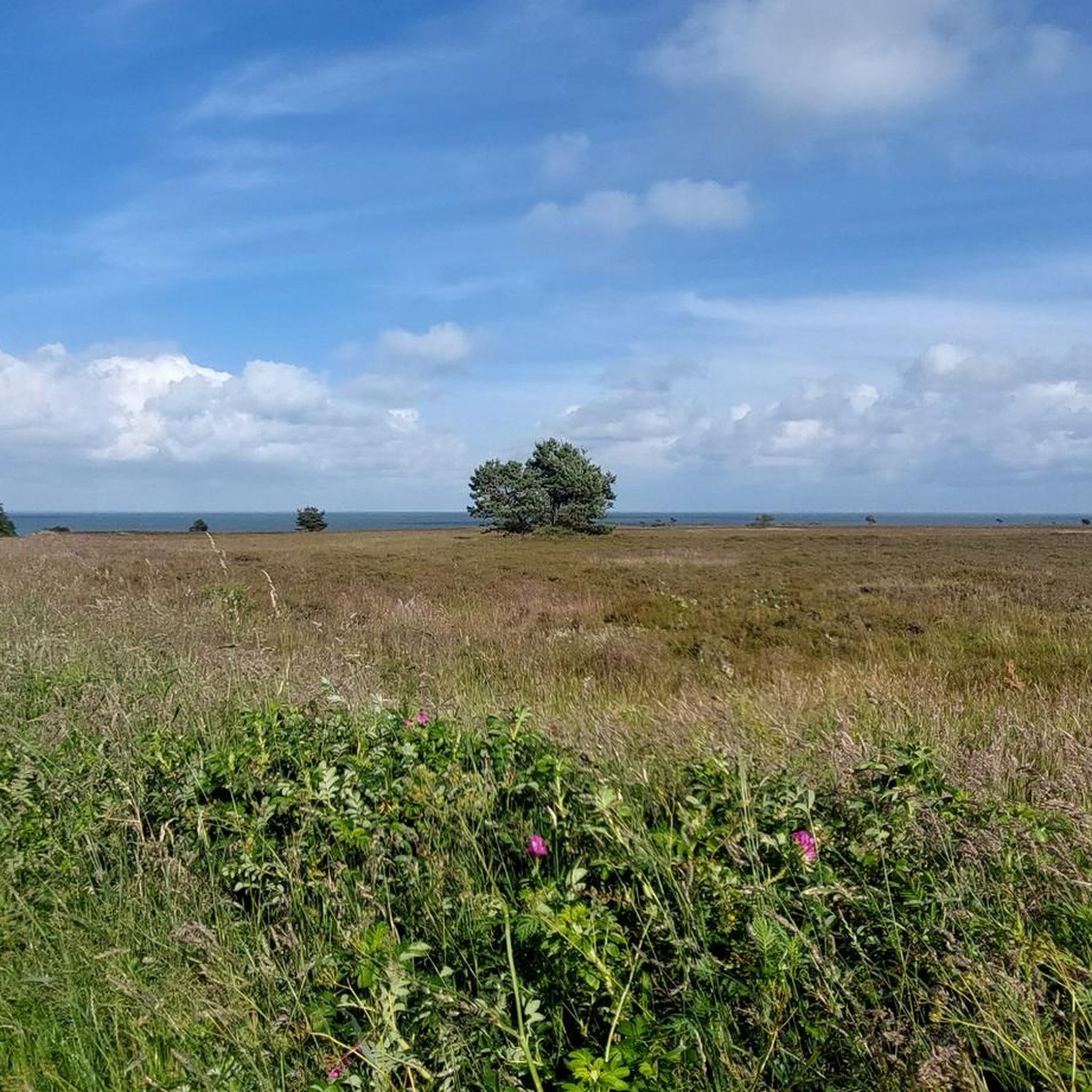
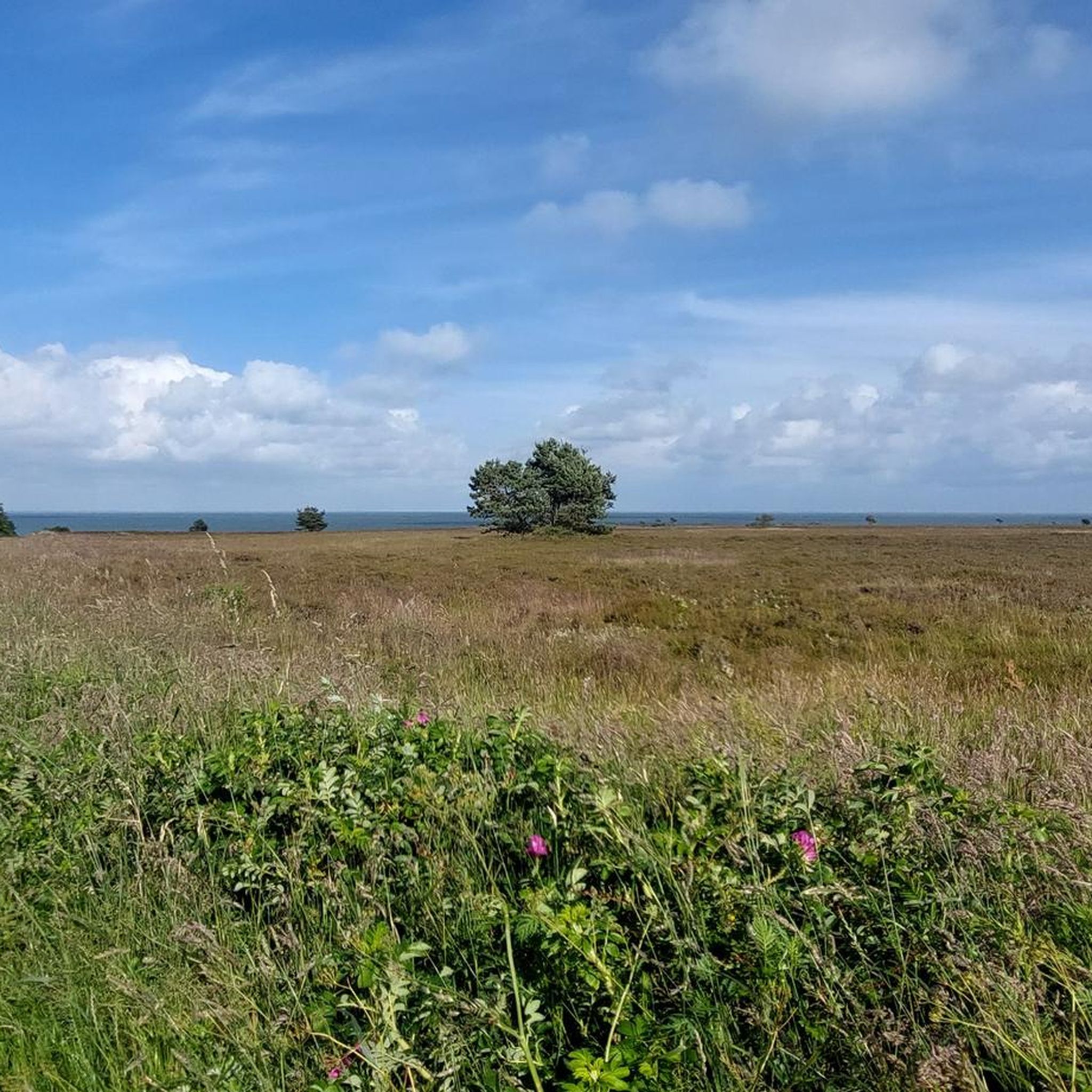
This trail is highly recommended! Beautiful heathland, beautiful views over the Wadden Sea.
0
0

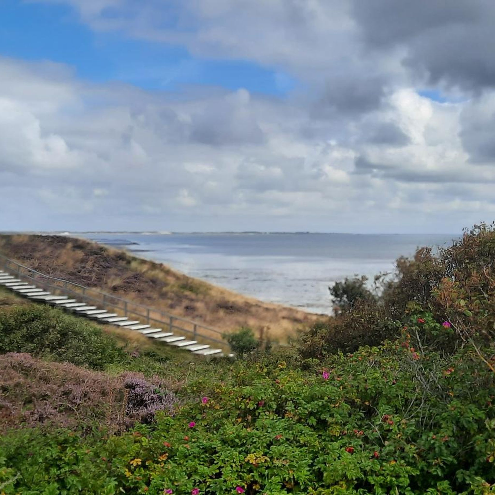
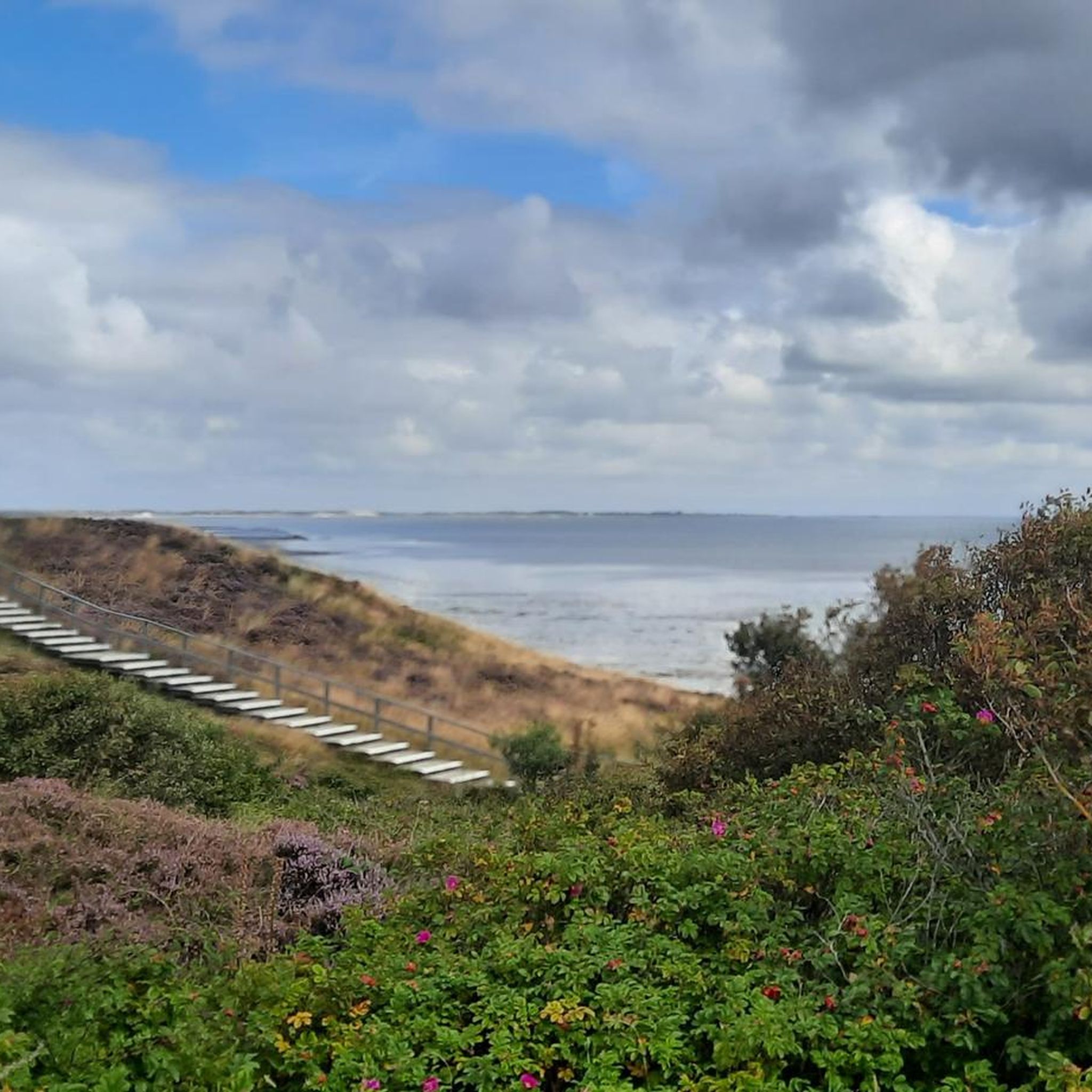
The boardwalks are in good condition and mostly have handrails, which are occasionally welcome in stronger winds, even on level ground. These boardwalks allow crossings without negatively impacting the unique dune landscape. This is a good solution for balancing coastal and nature conservation with tourism and the enjoyment of hiking and nature.
2
0

Walking along the coast above the beach offers incredible panoramic views on the one hand, while on the other, the waves seem very far away. The people of Sylt have found a clever solution for dune protection: the boardwalks allow for unobstructed views of the North Sea.
3
0

🏖️🌊 The beach of Sylt is legendary and offers extremely diverse experiences along its approximately 40 kilometers of length – from the vibrant hotspot to the secluded dune bay.
2
0
🌅🔴 The Rotes Kliff viewpoint is one of the most famous spots on Sylt and offers the most breathtaking view of the North Sea. The cliff stretches between Wenningstedt and Kampen and is particularly known for its rust-red hues, especially at sunset.
0
0
Frequently Asked Questions
What kind of terrain can I expect when hiking around Wenningstedt-Braderup (Sylt)?
The region offers a diverse landscape, primarily characterized by coastal paths, extensive dune systems, and the unique Braderup Heath. You'll find a mix of flat coastal walks and gentle ascents over dunes, with prominent features like the Red Cliff providing stunning sea views. The UNESCO World Heritage Wadden Sea also offers unique mudflat exploration opportunities.
Are there many easy hiking trails in Wenningstedt-Braderup (Sylt)?
Yes, Wenningstedt-Braderup (Sylt) is very accessible for hikers of all levels. Out of 158 total routes, 116 are classified as easy. An excellent option for an easy stroll is the Braderuper Heide Coastal Trail – Braderuper Heath Boardwalk loop from Braderup, which is 4.3 miles (7.0 km) long and takes about 1 hour 50 minutes.
What are some notable natural landmarks or viewpoints to see on a hike?
The area is rich in natural beauty. You can hike along the Red Cliff (Rotes Kliff), which offers breathtaking views of the North Sea, especially at sunset. Another highlight is the Uwe Dune (Uwe-Düne), one of Sylt's highest points, providing panoramic views across the island and even to Denmark on clear days. The Lister shifting dunes further north also offer a unique natural spectacle.
Are there any circular walks available in Wenningstedt-Braderup (Sylt)?
Yes, many routes in the area are designed as loops. For example, the Red Cliff (Rotes Kliff) – Red Cliff viewpoint loop from Wenningstedt is a moderate 5.4-mile (8.7 km) path offering continuous views of the North Sea. Another popular loop is the Westerland Beach – Sylt Beach loop from Wenningstedt, a 6.1-mile (9.8 km) trail along the coastline.
What is the best time of year to go hiking in Wenningstedt-Braderup (Sylt)?
The region is beautiful year-round, but the heathlands, particularly the Braderup Heath, are especially captivating when the heather blooms from August to September, filling the air with intense colors and scents. Summer offers pleasant coastal walks, while spring and autumn provide cooler temperatures and fewer crowds. Winter hikes can be invigorating, with crisp air and dramatic sea views.
Are there family-friendly hiking options in the area?
Absolutely. Many trails are suitable for families, including easy walks through the dunes and along the coast. The Sylt Legend Forest (Sylter Sagenwald) offers a unique experience combining nature exploration with play and learning, making it particularly engaging for children. Guided mudflat hikes are also available with family-friendly and pirate-themed options.
Can I bring my dog on the hiking trails in Wenningstedt-Braderup (Sylt)?
Many trails in Wenningstedt-Braderup (Sylt) are dog-friendly, especially those along the coast and through the heathlands. However, it's always advisable to keep dogs on a leash, particularly in nature reserves like the Braderup Heath, to protect local wildlife and flora. Check local signage for specific regulations on individual trails.
What do other hikers enjoy most about hiking in Wenningstedt-Braderup (Sylt)?
The area is highly rated by the komoot community, with an average score of 4.6 stars from over 1,900 reviews. Hikers frequently praise the diverse landscapes, from the stunning coastal views along the Red Cliff to the tranquil beauty of the Braderup Heath and the unique experience of the Wadden Sea. The well-maintained paths and variety of routes for all skill levels are also often highlighted.
Are there any historical sites or cultural attractions accessible by foot?
Yes, you can explore some historical sites. The Denghoog Burial Mound, a Neolithic passage grave dating back to around 3000 BC, is located near Wenningstedt-Braderup and offers a glimpse into the region's ancient past. While not a hiking trail itself, the Wadden Sea Centre Sylt serves as an excellent starting point for learning about the Wadden Sea and participating in guided mudflat walks.
How many hiking routes are available in Wenningstedt-Braderup (Sylt)?
There are over 150 hiking routes in Wenningstedt-Braderup (Sylt), offering a wide range of options for different preferences and fitness levels. This includes 116 easy routes, 41 moderate routes, and 1 difficult route, ensuring there's something for everyone.
Are there opportunities for wildlife spotting during hikes?
Yes, the diverse ecosystems of Wenningstedt-Braderup (Sylt) provide excellent opportunities for wildlife spotting. The Braderup Heath and dune landscapes are home to unique flora and fauna. The Wadden Sea, a UNESCO World Heritage site, is particularly rich in marine life, and guided mudflat hikes can introduce you to crustaceans, lugworms, and various bird species.
Is public transport available to reach hiking trailheads?
Sylt has a well-developed public transport network, including bus services that connect Wenningstedt-Braderup with other parts of the island. Many trailheads are accessible via bus, making it convenient to reach starting points without a car. It's advisable to check local bus schedules for specific routes and stops near your desired hiking areas.
Most popular routes around Wenningstedt-Braderup (Sylt)
Most popular attractions around Wenningstedt-Braderup (Sylt)

Get inspired with the komoot mobile app


Explore more
Browse the best Hikes in other regions.
