The best walks and hikes around Matlask
4.6
(950)
8,241
hikers
360
hikes
Hiking around Matlask offers a network of trails through the Norfolk countryside, characterized by gentle elevations and varied landscapes. The region features a mix of woodland paths, open fields, and routes connecting historic sites and villages. Terrain generally consists of well-maintained footpaths and bridleways, suitable for walking.
Best hiking trails around Matlask
- The most popular hiking route is Felbrigg Hall – Felbrigg Pond loop from Gresham, a 8.0 miles (12.8 km) trail that takes 3 hours 18 minutes to…
Last updated: August 21, 2026
4.3
(7)
29
hikers
12.8km
03:18
60m
60m
Moderate hike. Good fitness required. Easily-accessible paths. Suitable for all skill levels.
4.8
(5)
20
hikers
7.17km
01:51
30m
30m
Easy hike. Great for any fitness level. Easily-accessible paths. Suitable for all skill levels.

Sign up for free
4.0
(2)
15
hikers
Moderate hike. Good fitness required. Easily-accessible paths. Suitable for all skill levels.
5.0
(2)
16
hikers
Hard hike. Very good fitness required. Easily-accessible paths. Suitable for all skill levels.
3.0
(1)
11
hikers
19.1km
04:59
130m
130m
Moderate hike. Good fitness required. Easily-accessible paths. Suitable for all skill levels.
Get access to more routes and recommendations from other explorers.
Sign up for free
Already have an account?
Our route recommendations are based on thousands of hikes, rides, and runs completed by other people on komoot.
Start today with a free account
Your next adventure awaits.
Login or Signup
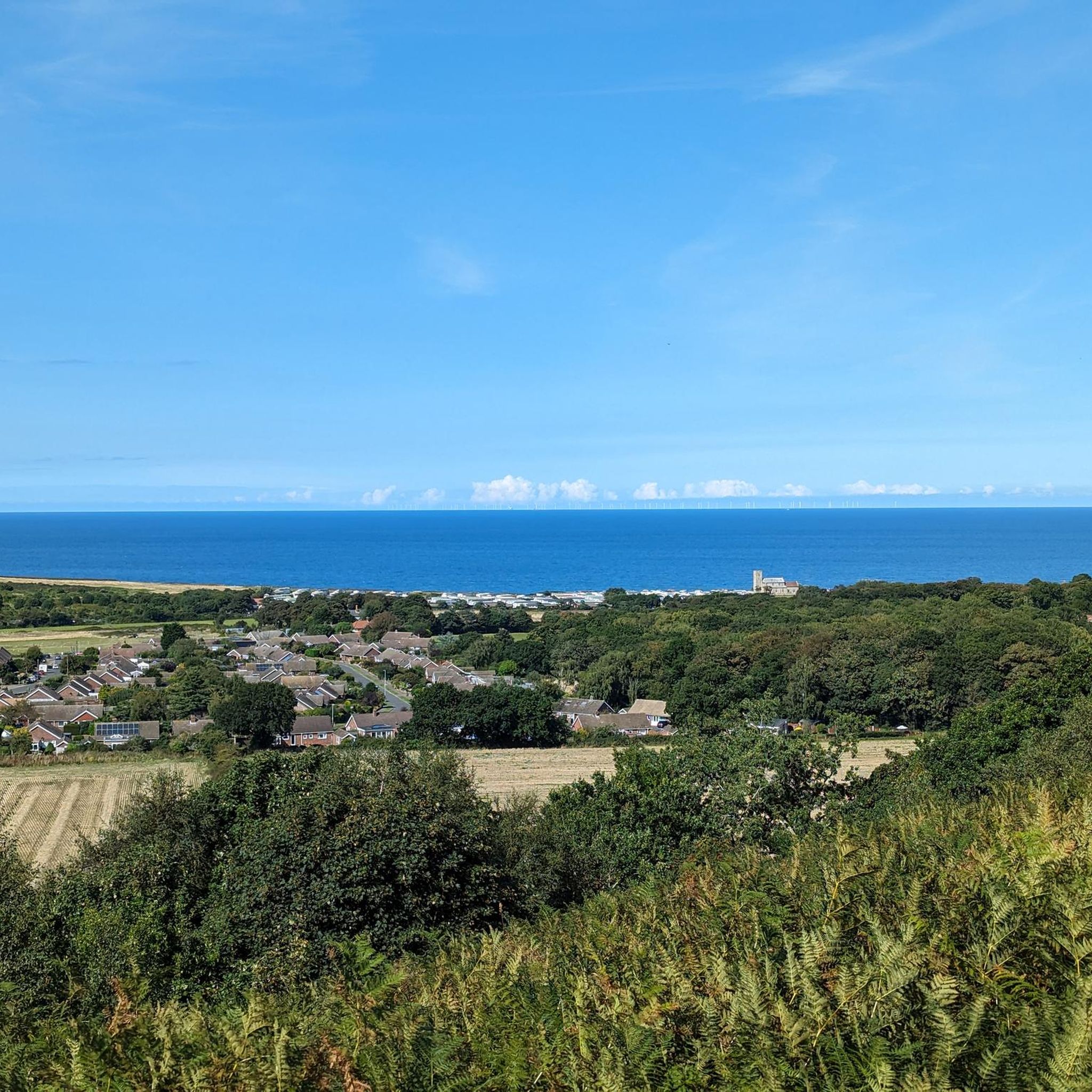
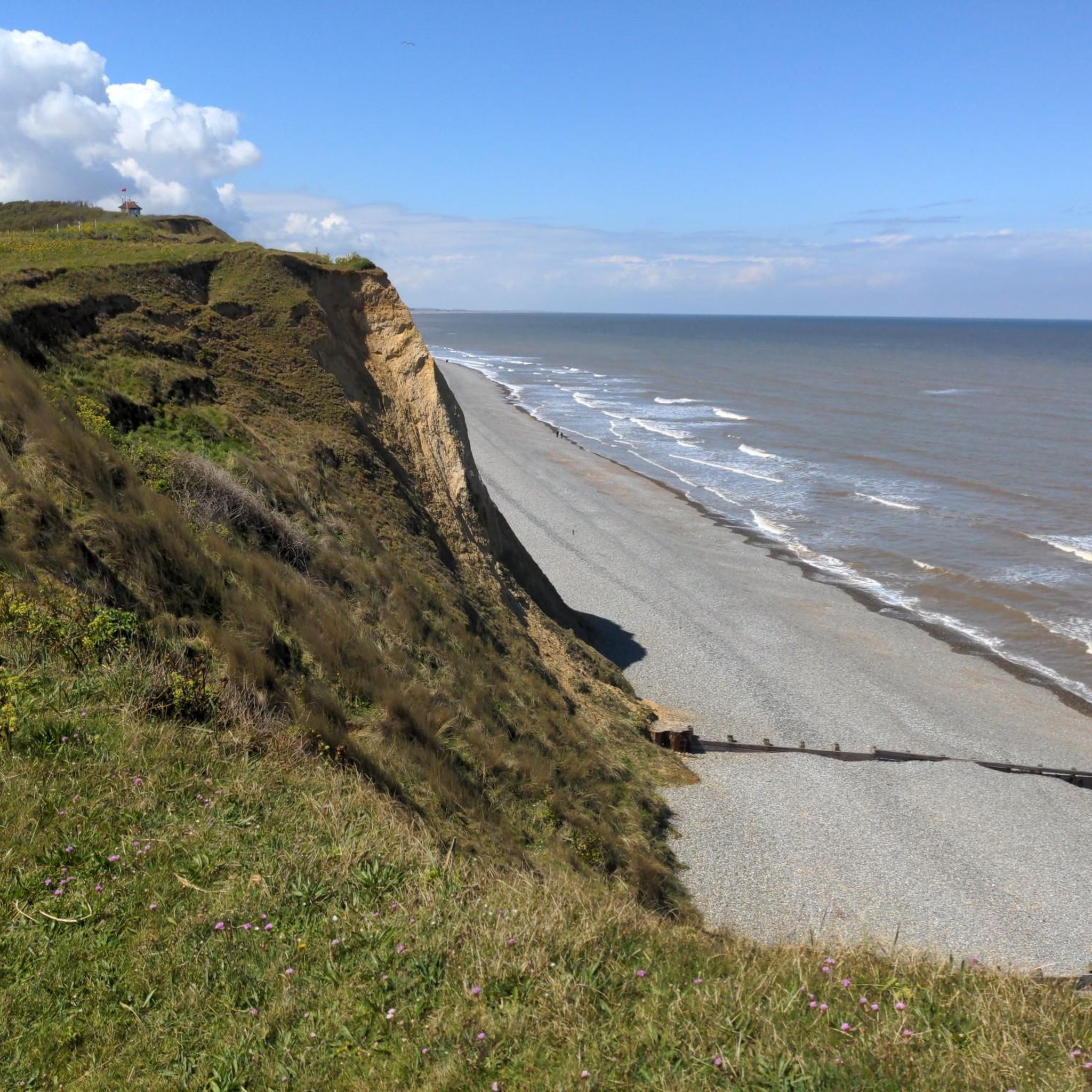
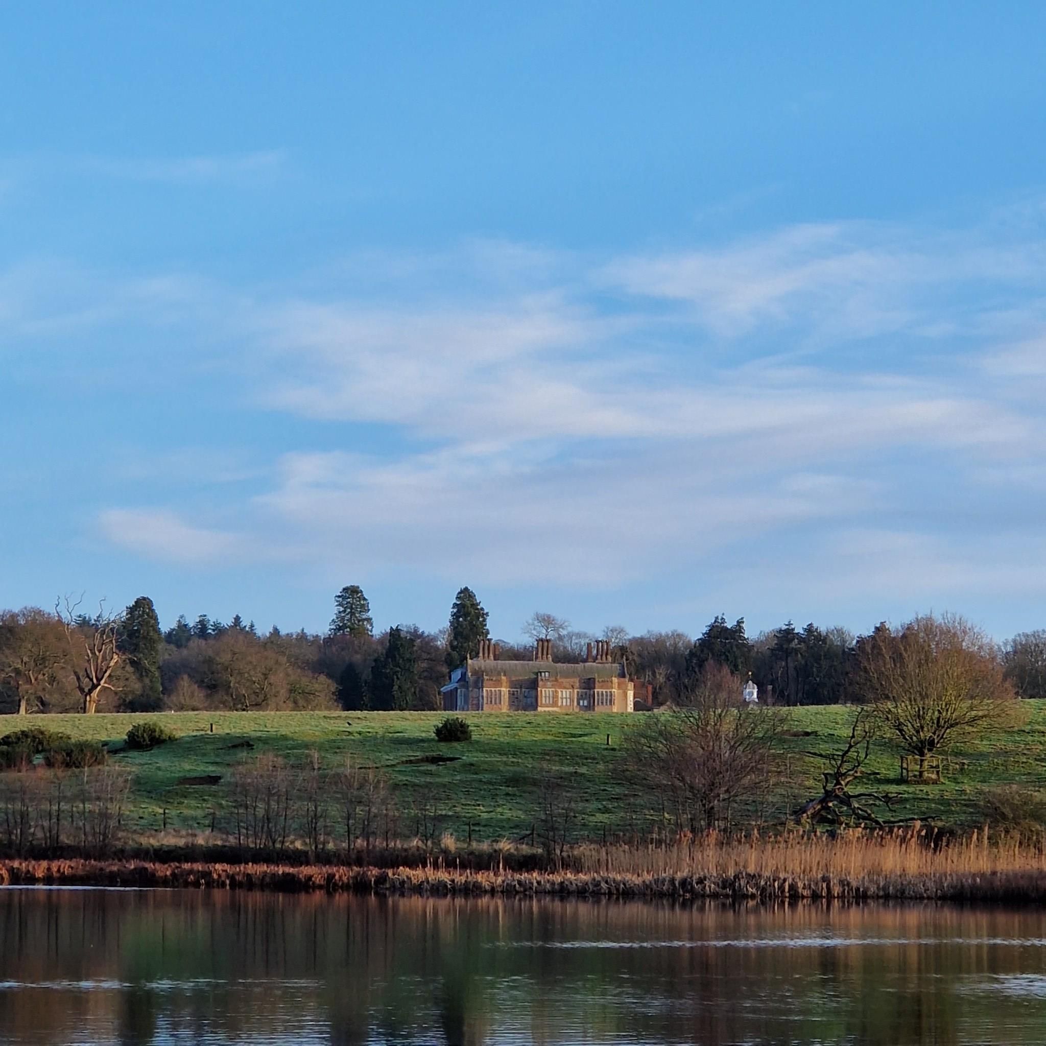
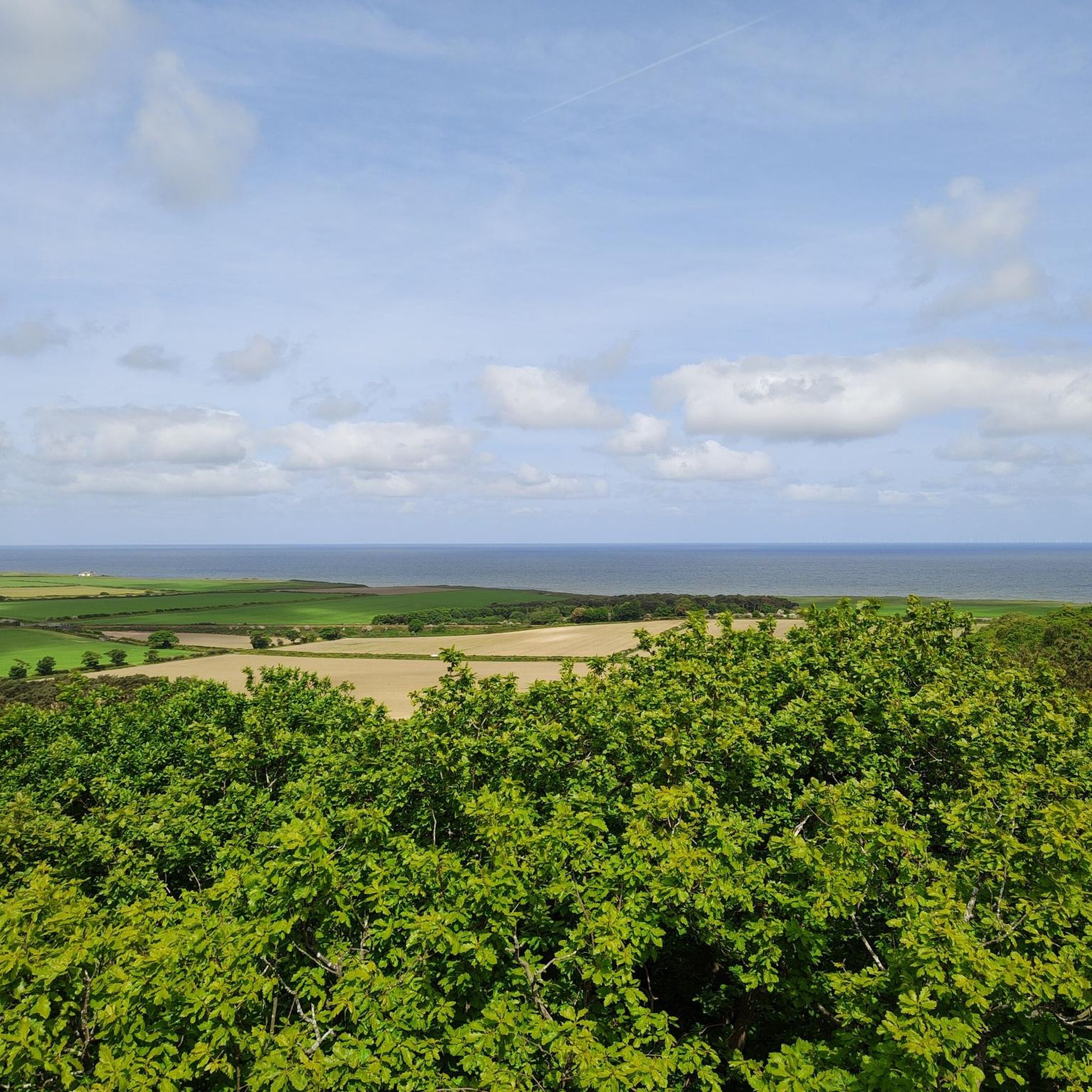
Tips from the Community

The main church in Cromer is the Parish Church of St Peter and St Paul. Built almost entirely in the 15th century, it is a prominent Grade I listed Anglican church famous for having the tallest church tower in Norfolk.
0
0

Sheringham Park was designed by the 19th-century landscaper Humphry Repton and his son John Adey Repton.
0
0

Step inside this cosy Victorian fisherman's cottage and imagine what it was like to live in Cromer at the end of the 19th Century. Browse in the Old Cromer Gallery with its huge archive of historic photographs and illustrations of the town. Discover Cromer's history as a Victorian seaside resort with its fine hotels and scandalous mixed bathing. Visit the Geology Gallery and see an amazing collection of fossils – all found in North Norfolk. Enjoy fascinating displays revealing why Cromer is renowned as a geological area of international importance. Find out about the famous West Runton Mammoth, Britain's oldest and most complete elephant fossil and see some of its actual bones. Marvel at a cast of the skull of a Mosasaur -- a huge marine reptile common when North Norfolk was covered in ocean over 70 million years ago.
0
0
Unfortunately the artwork has been all but lost now - only a very faint remnant remains to be seen.
0
0


looks like this station is still stuck in the steam engine era
0
0
Frequently Asked Questions
How many hiking trails are available in Matlask?
Matlask offers a wide selection of hiking routes, with over 360 trails available. This includes a diverse range of options, from easy strolls to more challenging long-distance paths through the Norfolk countryside.
What are the general difficulty levels of hikes in Matlask?
The trails in Matlask cater to various fitness levels. You'll find a good mix, with approximately 190 easy routes perfect for a leisurely walk, around 150 moderate trails for those seeking a bit more challenge, and about 20 difficult routes for experienced hikers looking for longer distances.
What do other hikers say about the trails in Matlask?
The komoot community highly rates the hiking experience in Matlask, with an impressive average score of 4.7 stars from over 800 reviews. Hikers often praise the tranquil woodland paths, varied landscapes, and the well-maintained nature of the footpaths and bridleways.
Are there any circular hiking routes in Matlask?
Yes, Matlask features many popular circular routes. For example, the Felbrigg Hall – Felbrigg Pond loop from Gresham is a moderate 8-mile (12.8 km) trail, and the St Mary's Church, Itteringham loop from Little Barningham offers an easy 4.5-mile (7.2 km) option.
Are there easy hikes suitable for beginners in Matlask?
Absolutely. Matlask is an excellent area for beginners, with nearly 200 easy routes. The St Mary's Church, Itteringham loop from Little Barningham is a great example of an easy 4.5-mile (7.2 km) path that provides a pleasant walk through the local landscape.
Are there more challenging or longer hikes available in Matlask?
For those seeking a greater challenge, Matlask offers around 20 difficult routes. A notable longer option is the Sheringham Beach Huts – The Temple, Sheringham Park loop from West Beckham, which is a demanding 13.7-mile (22.1 km) trail with significant elevation changes.
Are the hiking trails in Matlask suitable for families with children?
Many trails in Matlask are well-suited for families, especially the numerous easy and moderate routes. The gentle terrain and varied scenery, including woodland paths and open fields, make for enjoyable outings with children. Look for shorter, easy loops for the best family experience.
Can I bring my dog on the hiking trails in Matlask?
Yes, many of the trails in Matlask are dog-friendly, allowing you to enjoy the Norfolk countryside with your canine companion. It's always recommended to keep dogs on a lead, especially near livestock or in nature reserve areas, and to check specific trail regulations if available.
What natural features or landmarks can I see along the hiking trails in Matlask?
Hiking in Matlask offers opportunities to explore various natural features and historical sites. You can visit the beautiful Sheringham Park Rhododendron and Azalea Gardens, enjoy coastal views from West Runton Beach or Beeston Bump, and discover historic estates like Felbrigg Hall and Baconsthorpe Castle.
Is there parking available for hikers in Matlask?
While specific parking details vary by trailhead, many popular starting points for hikes in Matlask, especially those near villages or attractions like Felbrigg Hall, offer designated parking areas. It's advisable to check the route details on komoot for specific parking information before you set out.
Are there cafes, pubs, or accommodation options near the hiking trails in Matlask?
Yes, the Matlask area, being part of the Norfolk countryside, has several charming villages like Itteringham and Gresham. These often feature traditional pubs and cafes where you can refresh after your hike. Accommodation options, including B&Bs and guesthouses, are also available in the surrounding towns and villages.
What is the best time of year to go hiking in Matlask?
The Matlask area is enjoyable for hiking throughout much of the year. Spring and summer offer lush greenery and pleasant weather, ideal for exploring the woodlands and open fields. Autumn brings beautiful fall colors, while winter can offer crisp, quiet walks, though some paths might be muddy. Always check local weather conditions before heading out.
Most popular attractions around Matlask

Get inspired with the komoot mobile app


Explore more
Browse the best Hikes in other regions.
