The best walks and hikes around Weng im Innkreis
4.4
(1034)
6,105
hikers
463
hikes
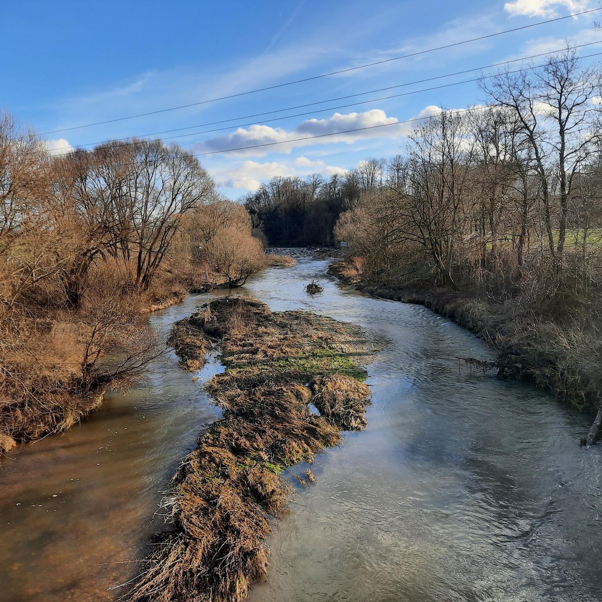
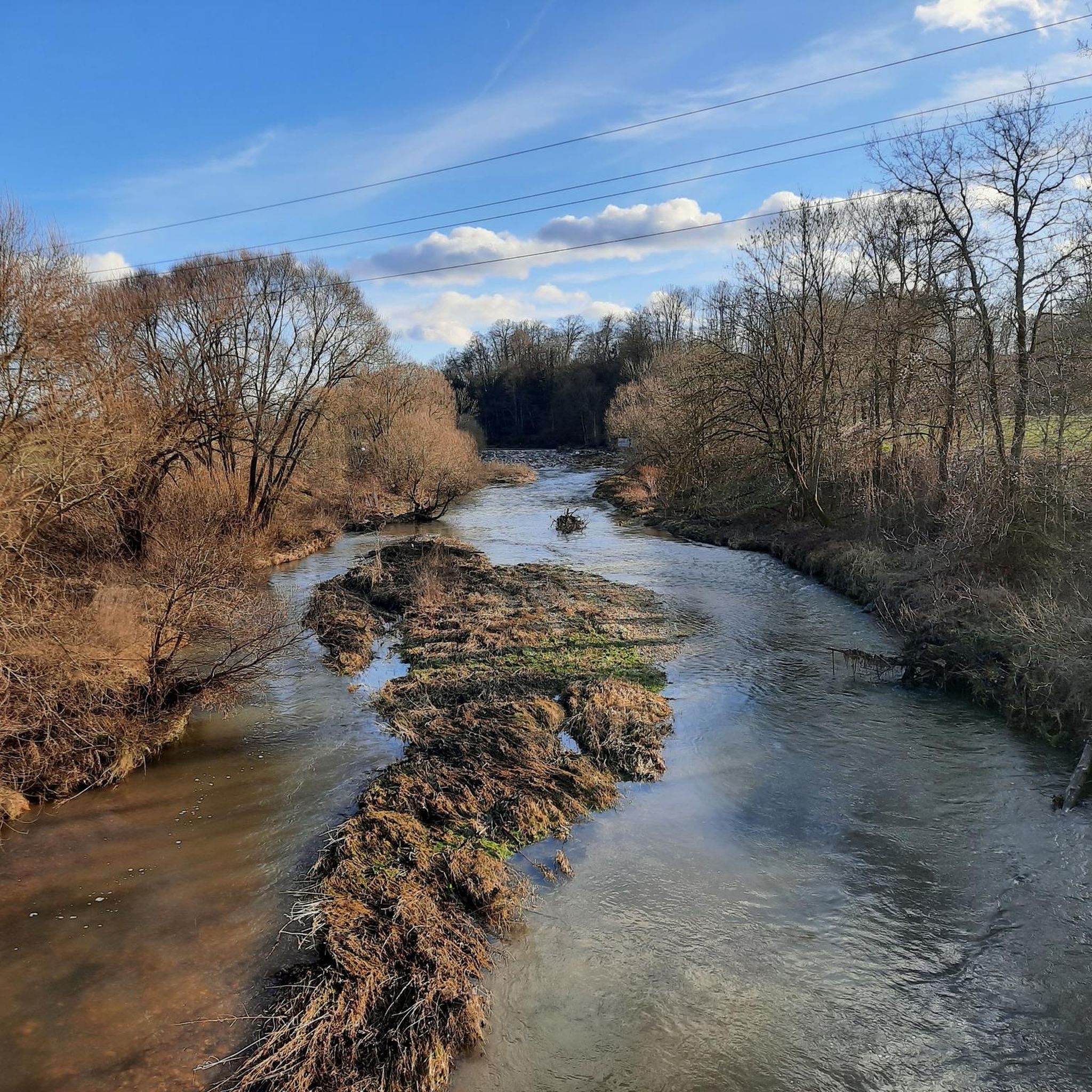
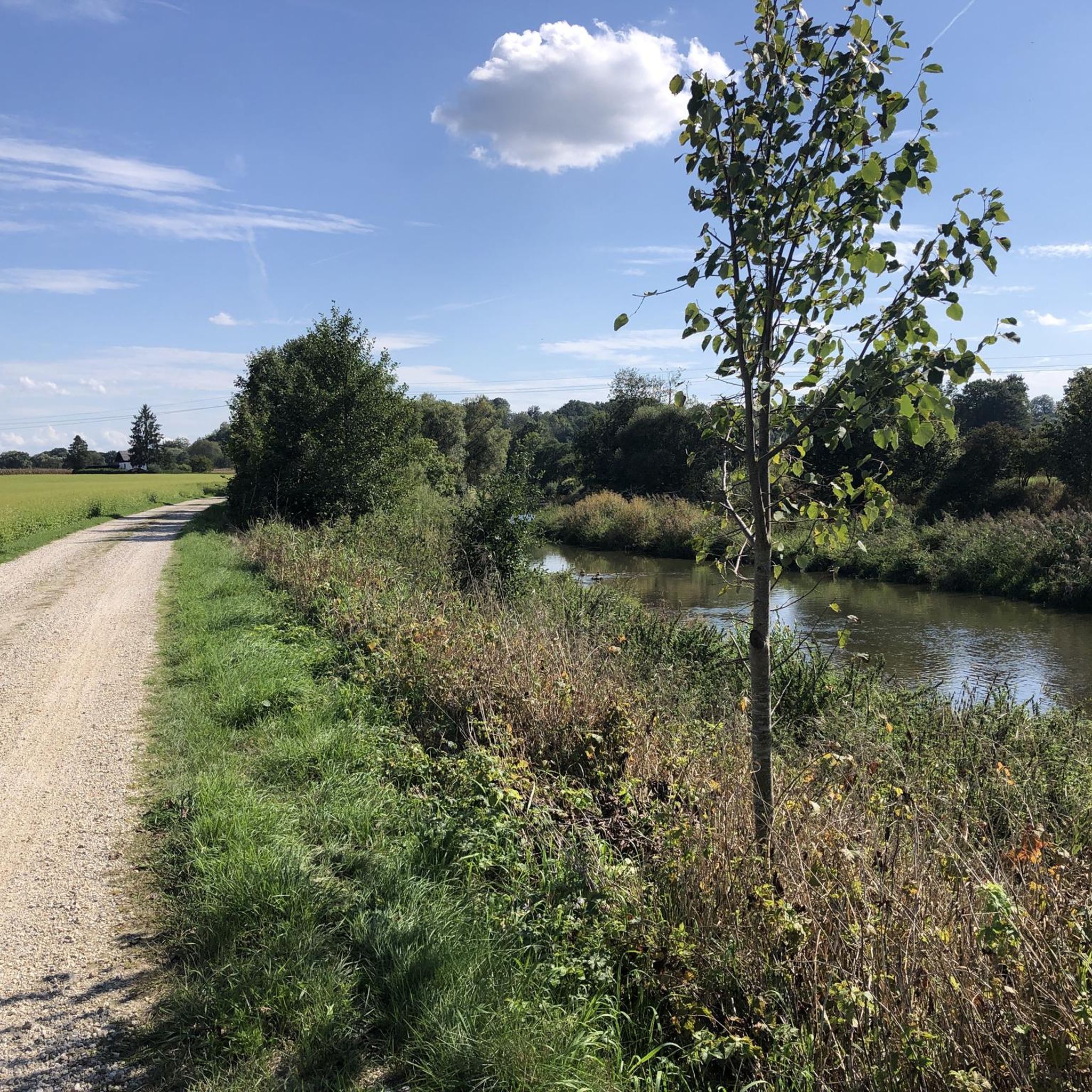
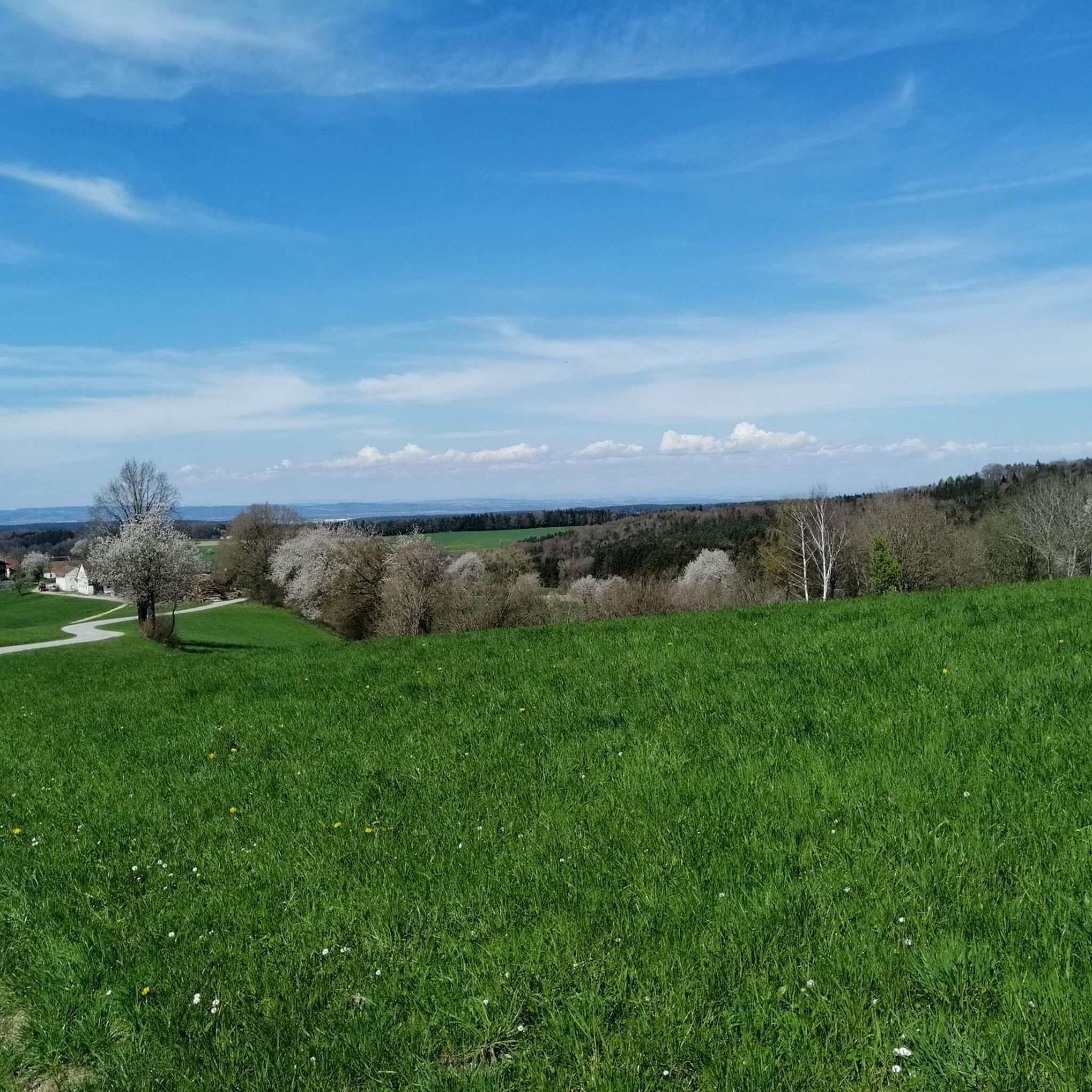
Hiking around Weng im Innkreis offers a serene environment characterized by gentle, rolling landscapes and expansive meadows in Upper Austria's Innviertel region. The terrain features gentle hills and dedicated walking trails, with paths ranging from slightly ascending routes to more challenging forest sections. Streams like the Moosbach and Lochbach traverse the area, and the proximity to the Innauen provides scenic walks along the Inn River.
Best hiking trails around Weng im Innkreis
- The most popular hiking route is Hiking loop…
Last updated: October 5, 2026
5.0
(3)
12
hikers
7.00km
01:49
50m
50m
Easy hike. Great for any fitness level. Easily-accessible paths. Suitable for all skill levels.
4.0
(1)
7
hikers
8.26km
02:12
90m
90m
Moderate hike. Good fitness required. Easily-accessible paths. Suitable for all skill levels.

5.0
(1)
7
hikers
11.1km
02:52
60m
60m
Moderate hike. Good fitness required. Easily-accessible paths. Suitable for all skill levels.
3.0
(1)
6
hikers
5.12km
01:22
50m
50m
Easy hike. Great for any fitness level. Easily-accessible paths. Suitable for all skill levels.
5
hikers
11.7km
03:07
130m
130m
Moderate hike. Good fitness required. Easily-accessible paths. Suitable for all skill levels.
Get access to more routes and recommendations from other explorers.
Already have an account?
Our route recommendations are based on thousands of hikes, rides, and runs completed by other people on komoot.
Start today with a free account
Your next adventure awaits.
Tips from the Community

Always beautiful through the town of Altheim on the Roman cycle path.
0
0

This place is historically very well documented
0
0

Beautiful all-round view!
1
0
History is always interesting, as well as a nice rest area with a great view
0
0

The Roman cycle path leads through buildings to the town square
1
0
Altheim is a municipality in Upper Austria in the Braunau am Inn district in the Innviertel with 4989 inhabitants.
0
1


If you are on the Roman Cycle Path, you should not miss this impressive reconstruction of the floor plan of a Roman villa with an adjacent bathhouse.
0
0
Frequently Asked Questions
What kind of terrain can I expect when hiking in Weng im Innkreis?
The region around Weng im Innkreis is characterized by its peaceful, rural setting, featuring expansive meadows and gentle hills. You can expect diverse terrain, from slightly ascending paths to more challenging forest routes with inclines. Streams like the Moosbach and Lochbach add to the natural allure, and the proximity to the Innauen offers scenic walks along the Inn River.
How many hiking trails are available in Weng im Innkreis?
Weng im Innkreis offers a wide variety of hiking opportunities, with over 450 routes available. These trails cater to different preferences and fitness levels, ranging from easy strolls to more demanding forest sections.
What are the difficulty levels of hiking trails in Weng im Innkreis?
The hiking trails in Weng im Innkreis primarily consist of easy and moderate routes. There are over 290 easy trails and more than 160 moderate trails, making the area accessible for most hikers. A few more difficult routes are also available for those seeking a greater challenge.
Are there any circular walks in Weng im Innkreis?
Yes, Weng im Innkreis offers several circular walks. For example, the Hiking loop from Weng im Innkreis is an easy 7 km trail exploring the local countryside. Another option is the Parish Church of Altheim loop from Gaugsham, a moderate 8.3 km path with varied scenery.
What natural features or landmarks can I see along the hiking trails?
Hikers can enjoy the peaceful rural scenery, including the Moosbach and Lochbach streams, and the Innauen along the Inn River. Culturally, the area is known for its numerous small chapels, such as the Pestkapelle and Elendkapelle, which serve as 'silent witnesses of the past'. The 15th-century Parish Church of St. Martin in the village center is also a notable landmark. You might also encounter Frauenstein Castle near the Inn River.
Are there family-friendly hiking options in Weng im Innkreis?
Yes, the region's gentle, rolling landscapes and numerous easy trails make it suitable for families. The 'Waldblickrunde' is a shorter, mostly asphalted route of 2.7 km with a slight incline, offering an easy and less strenuous option for families. Many of the easy circular routes are also great for family outings.
What do other hikers say about the trails in Weng im Innkreis?
The hiking routes in Weng im Innkreis are highly rated by the komoot community, with an average score of 4.5 stars from over 870 reviews. Hikers often praise the serene environment, the well-marked paths, and the blend of natural beauty with cultural landmarks like the chapels.
Is there a dedicated network for hikers and Nordic walkers?
Yes, Weng im Innkreis has developed a dedicated network for hikers and Nordic walkers in collaboration with the neighboring municipality of Moosbach. This network includes well-marked routes like the 'Waldblickrunde' and the 'Wenger Panoramarunde', catering to various preferences and fitness levels.
Are there any longer hiking routes for more experienced hikers?
For those seeking longer routes, the 'Moosbachtalrunde' and 'Eustachiusrunde' are both around 10-11 km. Additionally, the Parish Church of Altheim loop from Altheim is a moderate 11.7 km trail that offers a more extended experience.
What is the 'Wenger Panoramarunde'?
The 'Wenger Panoramarunde' is a 5.3 km trail that offers a more varied hiking experience. It leads along the Moosbach/Lochbach and through a more demanding forest section with ascents, culminating in a panoramic view over Weng before descending via Matzelsberg.
Can I find views or scenic spots along the trails?
Yes, the 'Wenger Panoramarunde' specifically offers a panoramic view over Weng. Additionally, the proximity to the Innauen provides scenic walks along the Inn River, with the medieval Frauenstein Castle offering a picturesque resting spot and views of the Inn and its dammed waters.
Most popular routes around Weng im Innkreis
Most popular attractions around Weng im Innkreis

Get inspired with the komoot mobile app


Explore more
Browse the best Hikes in other regions.
