The best road cycling routes around Sloley
4.6
(89)
2,455
riders
201
rides
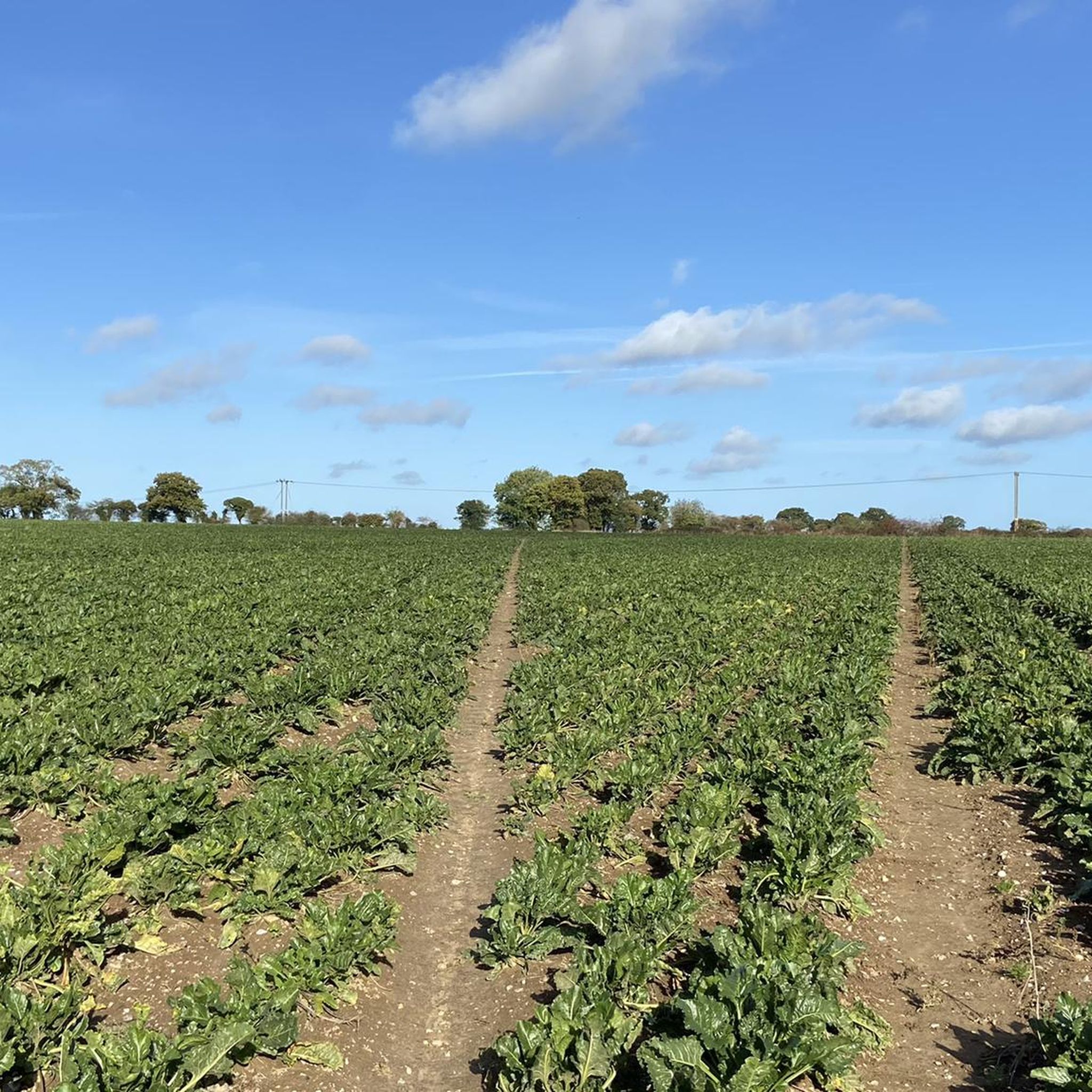
Road cycling routes around Sloley offer access to the diverse landscapes of North Norfolk, an Area of Outstanding Natural Beauty. The region features a varied terrain of coastline, countryside, and the unique waterways of The Broads National Park. Cyclists can navigate quiet country lanes, passing through pinewoods, marshland, heathlands, and fens. The landscape is generally gentle, with some modest hills providing elevation changes.
Best road cycling routes around Sloley
- The most popular road cycling route is Salthouse Marshes – Cley…
Last updated: May 28, 2026
26
riders
90.4km
03:46
600m
600m
Moderate road ride. Good fitness required. Mostly well-paved surfaces and easy to ride.
19
riders
86.6km
03:32
300m
300m
Moderate road ride. Good fitness required. Some segments of this route may be unpaved and difficult to ride.

Sign up for free
18
riders
52.9km
02:09
230m
230m
Moderate road ride. Good fitness required. Mostly well-paved surfaces and easy to ride.
3.0
(1)
9
riders
86.0km
03:48
540m
540m
Moderate road ride. Good fitness required. Some segments of this route may be unpaved and difficult to ride.
10
riders
56.6km
02:19
200m
200m
Moderate road ride. Good fitness required. Some segments of this route may be unpaved and difficult to ride.
Get access to more routes and recommendations from other explorers.
Sign up for free
Already have an account?
Our route recommendations are based on thousands of hikes, rides, and runs completed by other people on komoot.
Start today with a free account
Your next adventure awaits.
Login or Signup


Tips from the Community

Some runis of the All Saints Church, destroyed in the "Great fire of Reepham" in 1543.
0
0


Fantastic country roads leading to the coast with a fantastic lighthouse on the cliffs
0
0

WW2-themed cafe, so a bit of an unusual atmosphere but easy access and outdoor space make it a good option with a bike.
1
0
Lovely views as you cross over the bridge, and plenty of cafes and refreshment options on the north bank.
0
0
National Trust-run windmill in the middle of the wide, flat broads landscape. Cafe and toilets for a refreshment stop as well.
0
0
Nice route beneath the trees connecting Kelling and Bodham.
0
0
Frequently Asked Questions
What kind of terrain can I expect when road cycling around Sloley?
Road cycling around Sloley offers a diverse landscape within North Norfolk, an Area of Outstanding Natural Beauty. You'll find a varied terrain including quiet country lanes, coastal stretches, pinewoods, marshland, heathlands, and fens. The region is generally gentle, with some modest hills providing elevation changes, particularly along the coast.
How many road cycling routes are available in the Sloley area?
There are over 200 road cycling routes available around Sloley, catering to various abilities. This includes a good mix of easy and moderate rides, ensuring there's something for every cyclist.
Are there any family-friendly road cycling routes near Sloley?
Yes, North Norfolk offers several family-friendly options. The Bure Valley Path, accessible from areas near Sloley, is a popular 9-mile (14.5 km) trail following a disused railway line, offering picturesque views and a gentle ride. It connects towns like Aylsham and Wroxham, with stations along the path for combined cycling and train excursions. Many of the easier routes listed on komoot, such as the Cox's Boatyard, Barton Broad – St. Mary's Church, Worstead loop from Worstead, are also suitable for families.
What are the best routes for exploring the Norfolk Broads by road bike?
For exploring the unique waterways of the Broads National Park, consider routes that venture inland. The Horning Marina – Horsey Windpump loop from Sloley is a moderate 53.8-mile (86.6 km) path that explores the Broads, featuring riverside scenery and iconic windpumps. The region's network of quiet country lanes also provides excellent access to the Broads' landscapes.
Are there any circular road cycling routes around Sloley?
Yes, many of the road cycling routes around Sloley are designed as loops, allowing you to start and finish in the same location. Examples include the popular Salthouse Marshes – Cley Windmill loop from Worstead, which is 56.1 miles (90.4 km), and the Reepham – Blickling Hall loop from Worstead, a 32.3-mile (52.0 km) trail.
What interesting landmarks or attractions can I see along road cycling routes near Sloley?
Road cycling routes near Sloley often pass by charming villages and notable landmarks. You might encounter historic sites like Horstead Mill or the iconic Happisburgh Lighthouse. The Bure Valley Path itself is a significant attraction, offering scenic views along the River Bure. The North Norfolk coastline also features attractions like Blakeney Point, known for its seal colonies and birdwatching.
What do other road cyclists enjoy most about cycling in Sloley?
The road cycling routes around Sloley are highly rated by the komoot community, with an average score of 4.6 stars from over 80 reviews. Cyclists frequently praise the varied terrain, from coastal marshes to the unique Broads National Park, and the extensive network of quiet country lanes that make for a pleasant and scenic ride.
Is there a network of quiet roads for cycling in North Norfolk?
Yes, North Norfolk was the first UK county to introduce a 'Quiet Lanes' network for cyclists. This network features well-signed, peaceful country roads, particularly in a 36-mile triangle between Cromer, Bacton, and North Walsham, ensuring a safer and more enjoyable experience for road cyclists away from heavy traffic.
Are there any long-distance road cycling trails accessible from Sloley?
Beyond the local loops, North Norfolk offers extensive routes like the Norfolk Coast Cycleway, which covers 59 to 92 miles, allowing cyclists to explore the coast and countryside through an Area of Outstanding Natural Beauty. The Rebellion Way is also a 232-mile cycling adventure showcasing diverse landscapes and quiet roads across the wider region.
What are the best seasons for road cycling around Sloley?
The spring, summer, and early autumn months generally offer the most pleasant conditions for road cycling around Sloley, with milder weather and longer daylight hours. However, the diverse landscapes can be enjoyed year-round, with each season offering its own unique beauty. Always check local weather forecasts before heading out.
Where can I find cafes or pubs along the cycling routes in the Sloley area?
Many charming villages and market towns throughout North Norfolk, which you'll pass through on various routes, offer cafes and pubs. For example, The Rising Sun Pub in Coltishall is a notable spot. The Bure Valley Path also connects towns like Aylsham and Wroxham, which have amenities. It's always a good idea to plan your route and check for establishments along the way.
What are the options for parking and public transport when cycling in Sloley?
Sloley's location offers good access to the wider North Norfolk area. While specific parking details for Sloley village itself would require local inquiry, many starting points for routes in the region, such as Worstead or other nearby towns, typically offer parking facilities. For public transport, the Bure Valley Path integrates with train stations at Brampton, Buxton, and Coltishall, allowing for combined cycling and train excursions.
Most popular attractions around Sloley

Get inspired with the komoot mobile app


Explore more
Browse the best Road cycling routes in other regions.
