The best road cycling routes around Weißendorf
4.5
(328)
850
riders
156
rides
Road cycling routes around Weißendorf traverse a landscape characterized by rolling hills, numerous ponds, and river valleys. The region features a mix of open countryside and areas near towns, offering varied scenery for road cyclists. Elevation changes are present, with routes often including moderate climbs and descents. The terrain is suitable for road bikes, providing a network of paths connecting natural features and local communities.
Best road cycling routes around Weißendorf
- The most popular road cycling route is Karpfenpfeifer Fountain…
Last updated: October 12, 2026
4.8
(21)
17
riders
Moderate road ride. Good fitness required. Mostly well-paved surfaces and easy to ride.
5.0
(3)
14
riders
67.8km
03:23
850m
850m
Moderate road ride. Good fitness required. Some segments of this route may be unpaved and difficult to ride.

5.0
(3)
5
riders
Moderate road ride. Good fitness required. Some segments of this route may be unpaved and difficult to ride.
5.0
(1)
9
riders
53.4km
02:39
710m
710m
Moderate road ride. Good fitness required. Mostly well-paved surfaces and easy to ride.
4.0
(3)
7
riders
Moderate road ride. Good fitness required. Some segments of this route may be unpaved and difficult to ride.
Get access to more routes and recommendations from other explorers.
Already have an account?
Our route recommendations are based on thousands of hikes, rides, and runs completed by other people on komoot.
Start today with a free account
Your next adventure awaits.
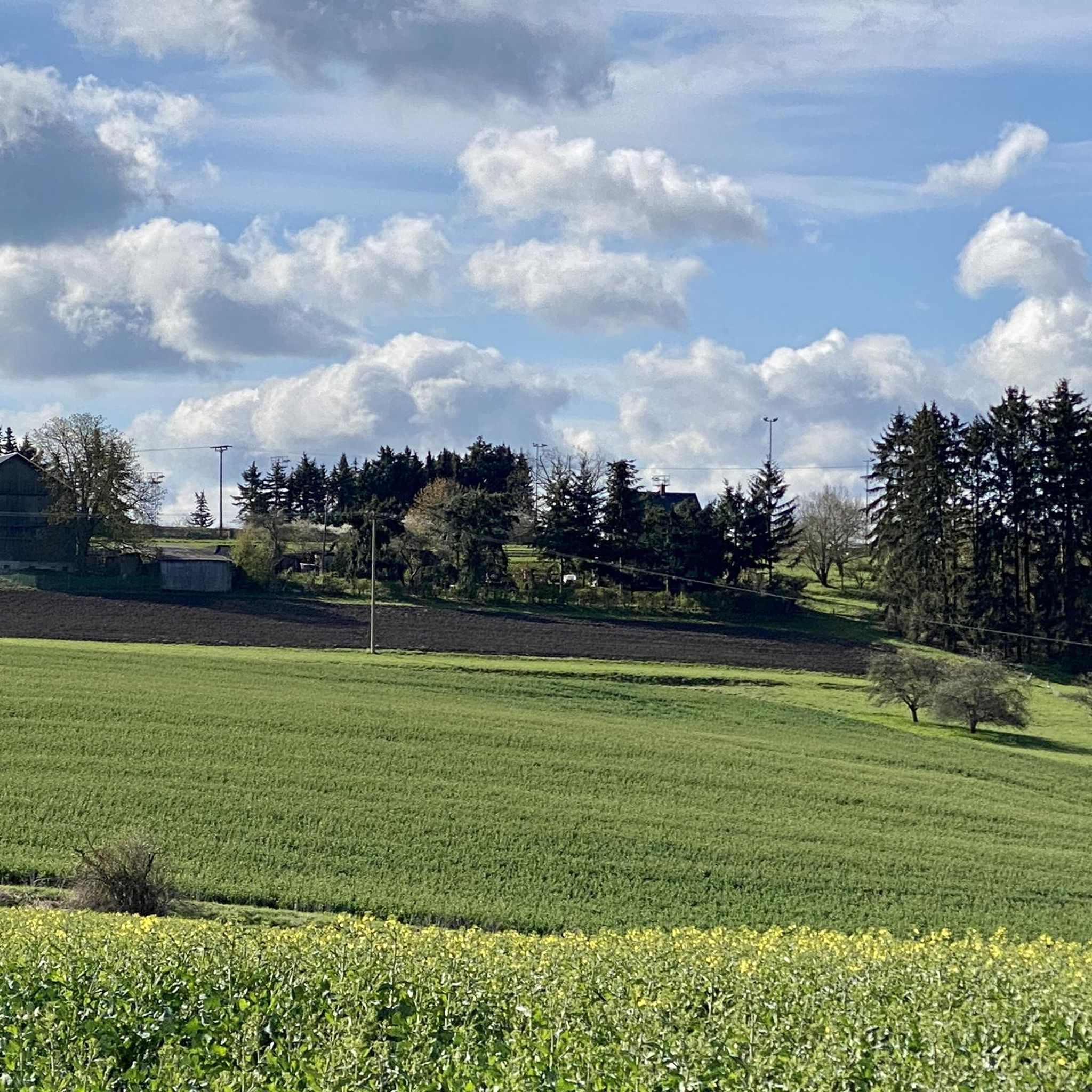
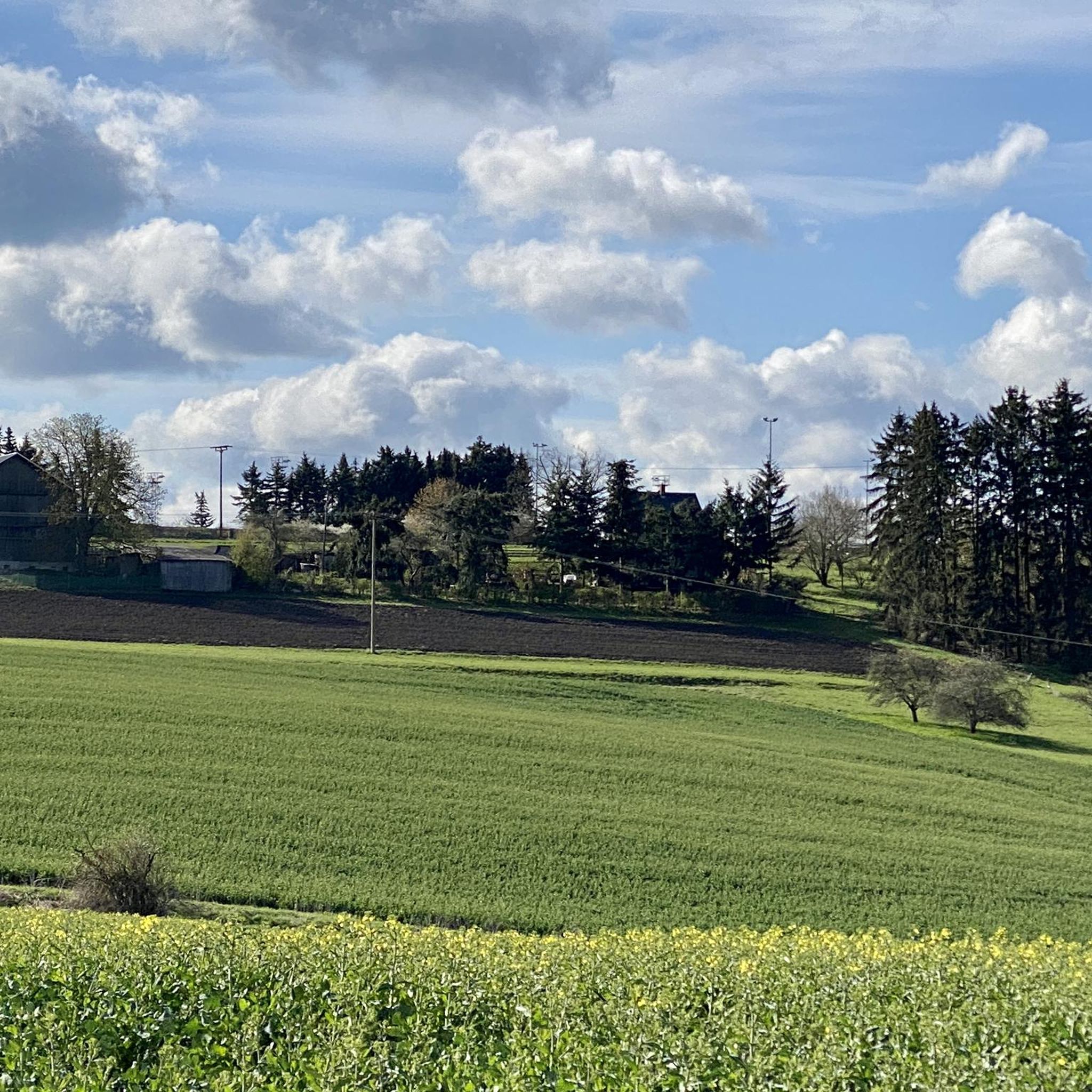
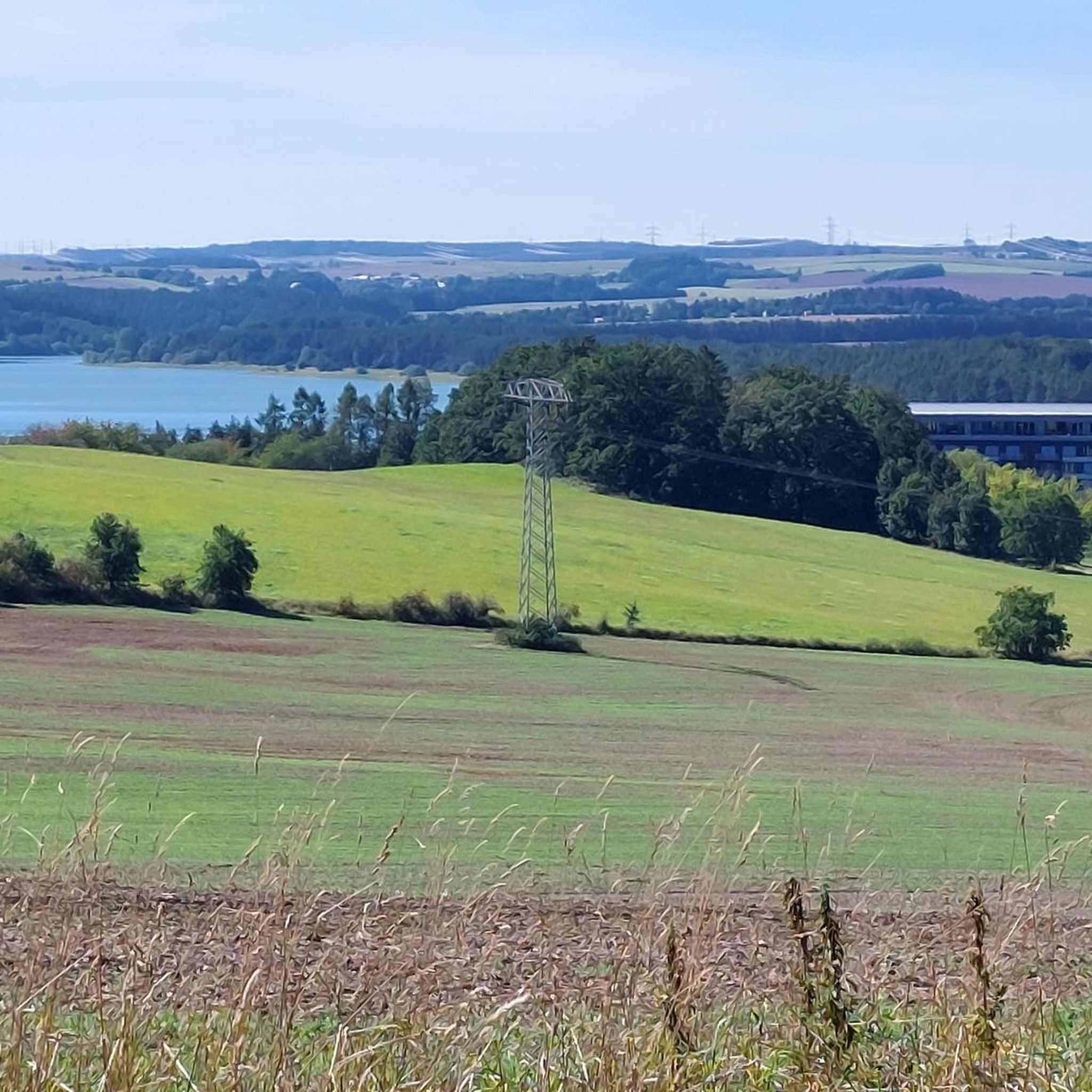
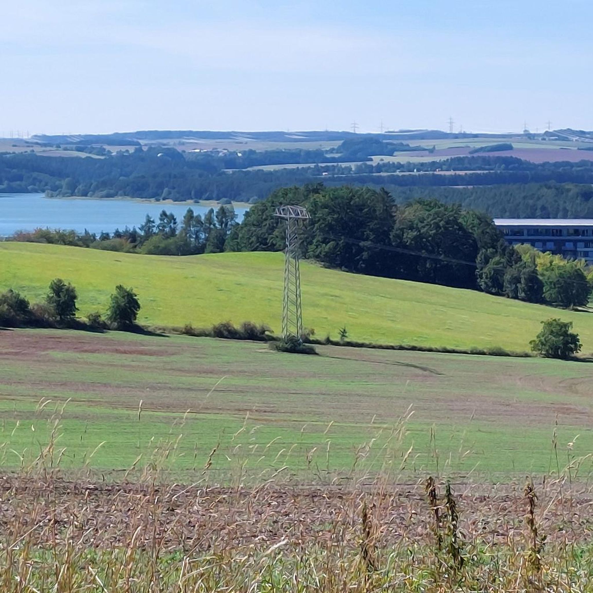
Tips from the Community

a church really worth seeing
0
0

The mill wheel appears dilapidated and is certainly no longer in use. However, the mill itself is in good condition. It's even open during the week.
1
0

Bridge
0
0

From Knau to Pothen, the only way is via a detour. The direct route (up Knau Hill, at the very end on the left) is impassable after 2.5 km. As of June 18, 2025. Instead, you turn right and have to walk about 3 km through the forest – beautiful in itself, but with a racing bike, it's a bit of a worry.
0
0

Interesting bridge construction, newly renovated
0
0

Slight climb! ⚠️But be careful, the manhole covers on the side of the road are not placed across the road (risk of falling)!⚠️
1
0

Not much to see at the moment. It is currently being renovated.
0
0

A beautiful stone bridge, borrowed from Roman architecture.
0
0
Frequently Asked Questions
How many road cycling routes are available around Weißendorf?
There are nearly 170 road cycling routes around Weißendorf, offering a wide range of options for different skill levels and preferences. You'll find everything from easy rides to more challenging tours.
What kind of terrain can I expect on road cycling routes in Weißendorf?
The Weißendorf region is characterized by rolling hills, numerous ponds, and picturesque river valleys. Routes often include moderate climbs and descents, providing varied scenery across open countryside and areas near local towns. The terrain is well-suited for road bikes.
Are there easy road cycling routes suitable for beginners or families in Weißendorf?
Yes, Weißendorf offers 13 easy road cycling routes. These routes typically feature gentler gradients and shorter distances, making them ideal for beginners or families looking for a relaxed ride. For example, the area around the Plothener Ponds offers relatively flat sections.
Where can I find challenging road cycling routes in Weißendorf?
For those seeking a challenge, Weißendorf has 28 difficult road cycling routes. These routes often feature more significant elevation changes and longer distances. An example of a moderate route that offers a good workout is the Plothener Ponds – Riedelmühle Auxiliary Dam loop from Zeulenroda unt Bf, which covers 42.7 miles with substantial elevation gain.
What are the best times of year for road cycling in Weißendorf?
The best times for road cycling in Weißendorf are typically spring (April to June) and autumn (September to October). During these seasons, the weather is generally mild, and the natural landscape, with its ponds and forests, is particularly beautiful. Summer can also be pleasant, but be prepared for warmer temperatures.
Are there circular road cycling routes available in Weißendorf?
Yes, many of the road cycling routes in Weißendorf are designed as circular loops, allowing you to start and end at the same point. Popular examples include the Karpfenpfeifer Fountain – Riedelmühle Auxiliary Dam loop from Zeulenroda unt Bf and the Market Square and Market Hill Auma – Riedelmühle Auxiliary Dam loop from Zeulenroda unt Bf.
What are some scenic viewpoints or natural attractions along the road cycling routes?
Weißendorf's routes often pass by beautiful natural attractions. You can enjoy views of the extensive pond landscapes, such as the Auma Reservoir, or explore the Moor Experience Trail in Pöllwitzer Forest. The Pöllwitzer Moor Observation Tower also offers panoramic views.
Are there places to stop for refreshments or cafes along the routes?
While specific cafe stops are not always marked on every route, the routes often pass through or near local towns and villages like Auma, where you can typically find opportunities for refreshments. Additionally, you might encounter various huts and shelters, such as the Angler's Dream Shelter at Zeulenroda Reservoir, which can serve as pleasant rest stops.
What do other road cyclists enjoy most about cycling in Weißendorf?
The area is highly rated by the komoot community, with an average score of 4.5 stars from over 300 reviews. Road cyclists often praise the varied terrain, the beautiful pond landscapes, and the well-maintained network of paths that connect natural features and local communities.
How long do road cycling routes in Weißendorf typically take to complete?
The duration of road cycling routes in Weißendorf varies significantly. Easy routes might take an hour or two, while moderate routes like the Karpfenpfeifer Fountain – Wolcheteiche Ponds near Auma loop from Zeulenroda unt Bf can take around 2.5 to 3 hours. Longer, more challenging routes can extend to 4 hours or more, depending on your pace and stops.
Is public transport available to access the road cycling routes in Weißendorf?
Many routes around Weißendorf, including popular ones, often start or pass near train stations like Zeulenroda unt Bf (Unterer Bahnhof), which can be accessed via regional public transport. This allows for convenient access to the starting points of various cycling tours.
Are there any notable man-made landmarks or structures to see while cycling?
Yes, beyond natural beauty, you can encounter interesting man-made structures. For instance, the Weida Dam is a significant landmark, and routes may also lead through historic market towns, offering glimpses of local architecture and culture.
Most popular attractions around Weißendorf

Get inspired with the komoot mobile app


Explore more
Browse the best Road cycling routes in other regions.
