The best walks and hikes around Weissenbach an der Triesting
4.6
(5978)
28,145
hikers
54
hikes
Hiking around Weissenbach an der Triesting offers diverse terrain at the foot of the Vienna Woods, within the Triesting Valley, and near the Gutenstein Alps. The region features a mix of dense forests, river paths along the Triestingsbach stream, and more challenging mountain trails. This geographical setting provides a range of landscapes suitable for various fitness levels.
Best hiking trails around Weissenbach an der Triesting
- The most popular hiking route is Arnstein Cave – Arnstein Castle Ruins loop from Katastralgemeinde…
Last updated: May 24, 2026
4.4
(107)
391
hikers
Moderate hike. Good fitness required. Mostly accessible paths. Sure-footedness required.
4.7
(34)
176
hikers
16.3km
04:59
520m
520m
Moderate hike. Good fitness required. Mostly accessible paths. Sure-footedness required.

Sign up for free
4.6
(21)
108
hikers
Hard hike. Very good fitness required. Mostly accessible paths. Sure-footedness required.
3.8
(13)
30
hikers
Moderate hike. Good fitness required. Easily-accessible paths. Suitable for all skill levels.
4.7
(10)
30
hikers
Moderate hike. Great for any fitness level. Mostly accessible paths. Sure-footedness required.
Get access to more routes and recommendations from other explorers.
Sign up for free
Already have an account?
Our route recommendations are based on thousands of hikes, rides, and runs completed by other people on komoot.
Start today with a free account
Your next adventure awaits.
Login or Signup
Popular around Weissenbach an der Triesting

North Alpine Trail 01 – Hike across Austria in 49 days
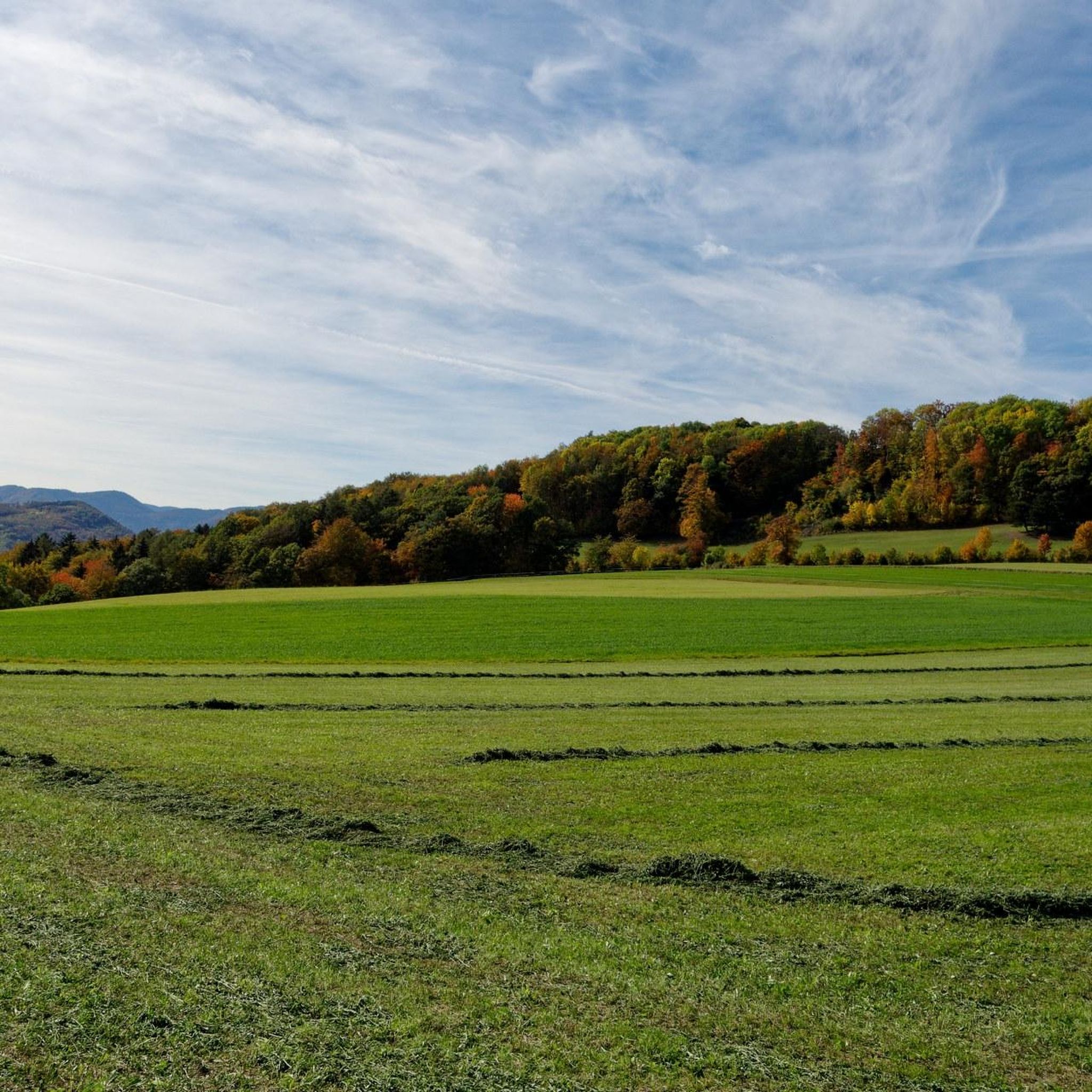
Cycling around Weissenbach an der Triesting
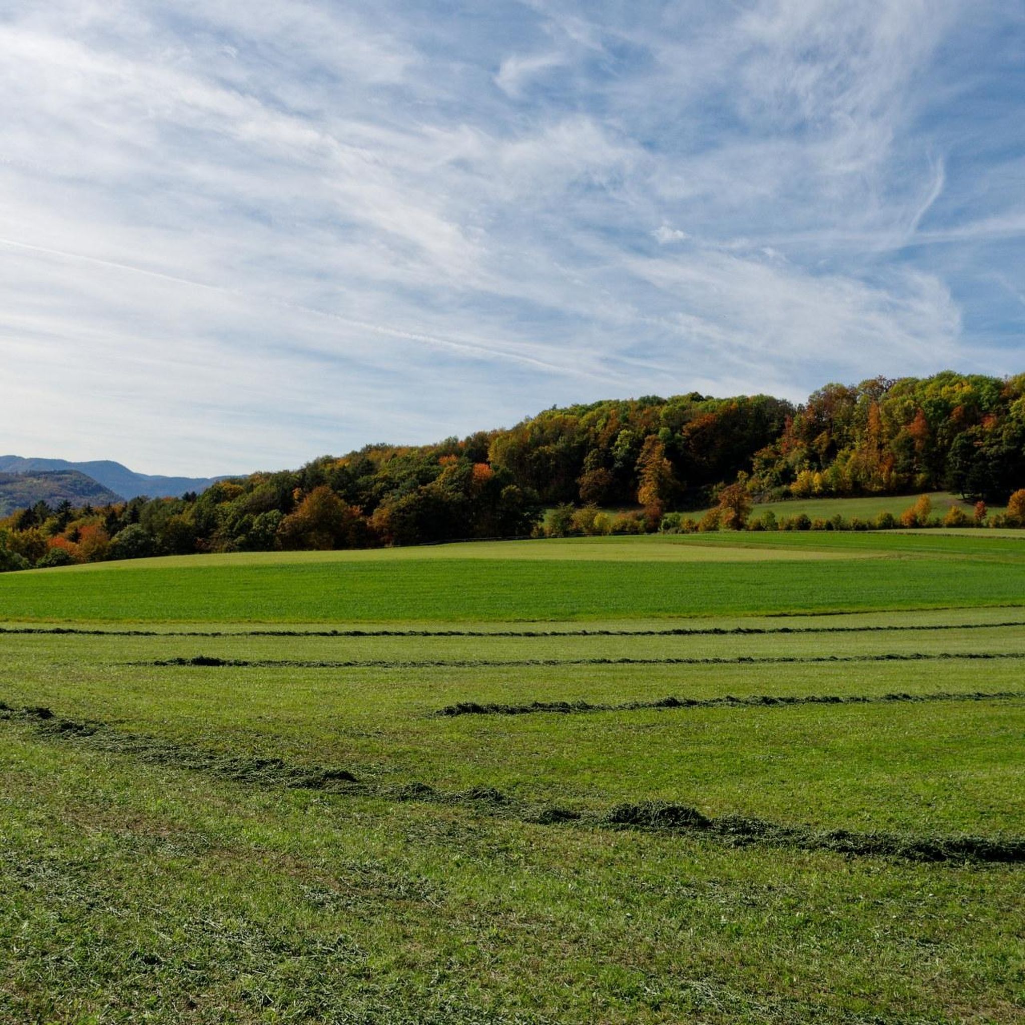
Road Cycling Routes around Weissenbach an der Triesting
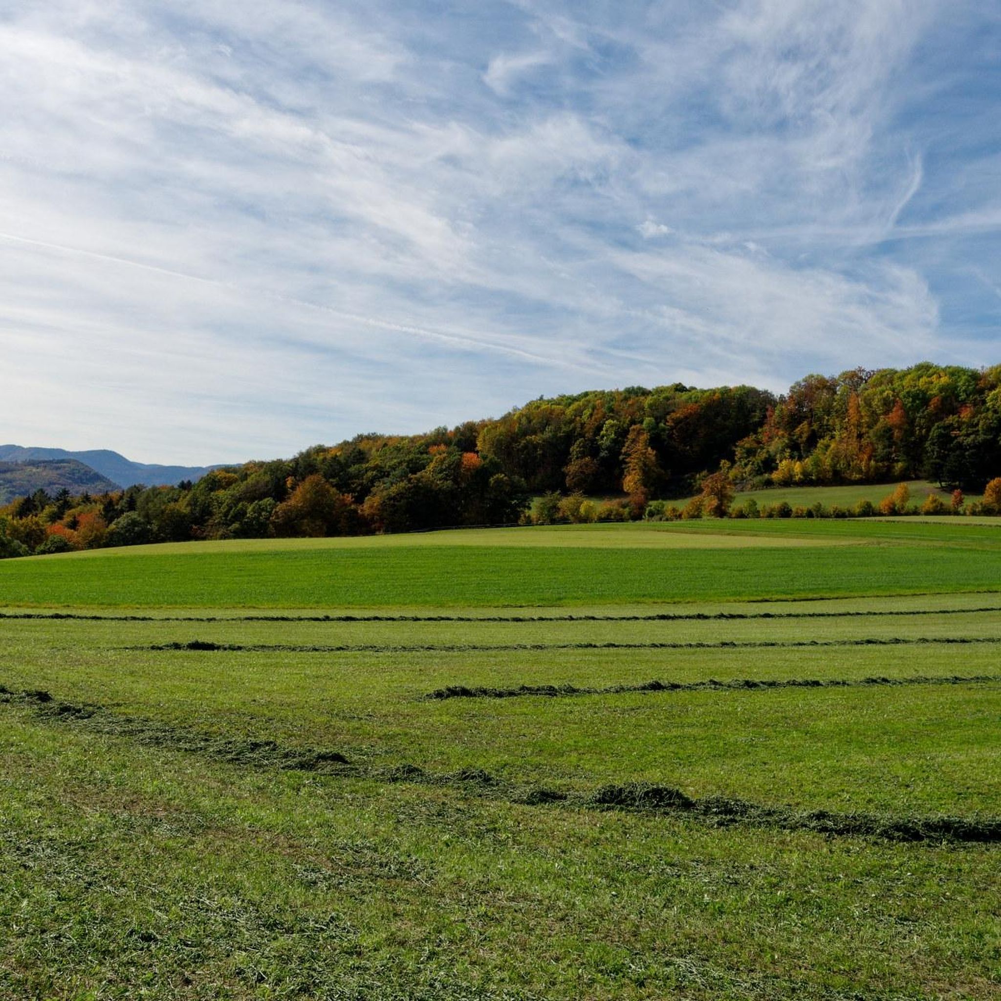
MTB Trails around Weissenbach an der Triesting
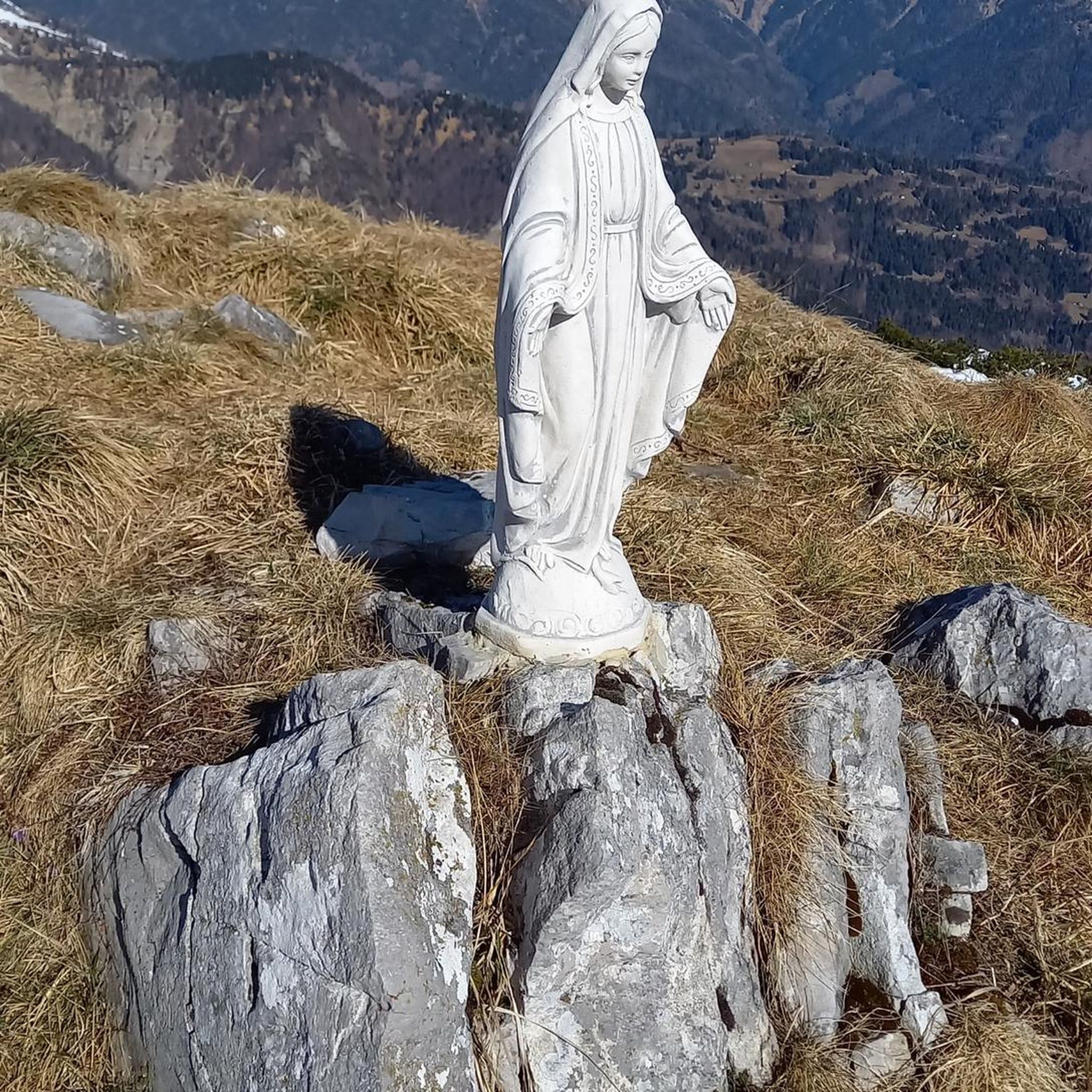
Mountain Hikes around Weissenbach an der Triesting
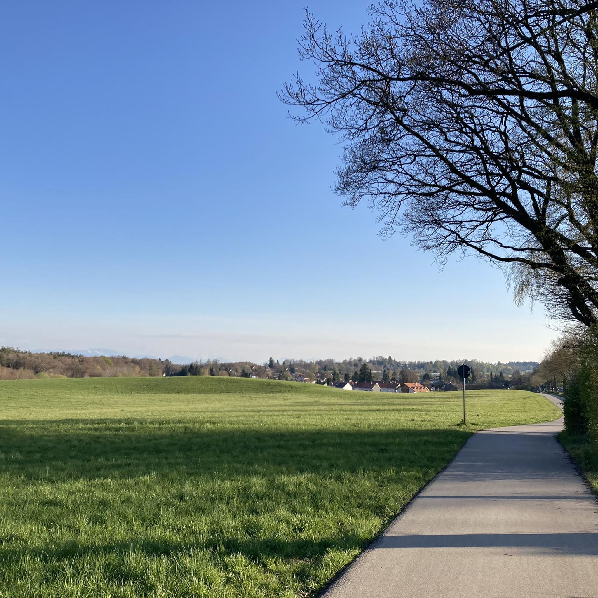
Gravel biking around Weissenbach an der Triesting
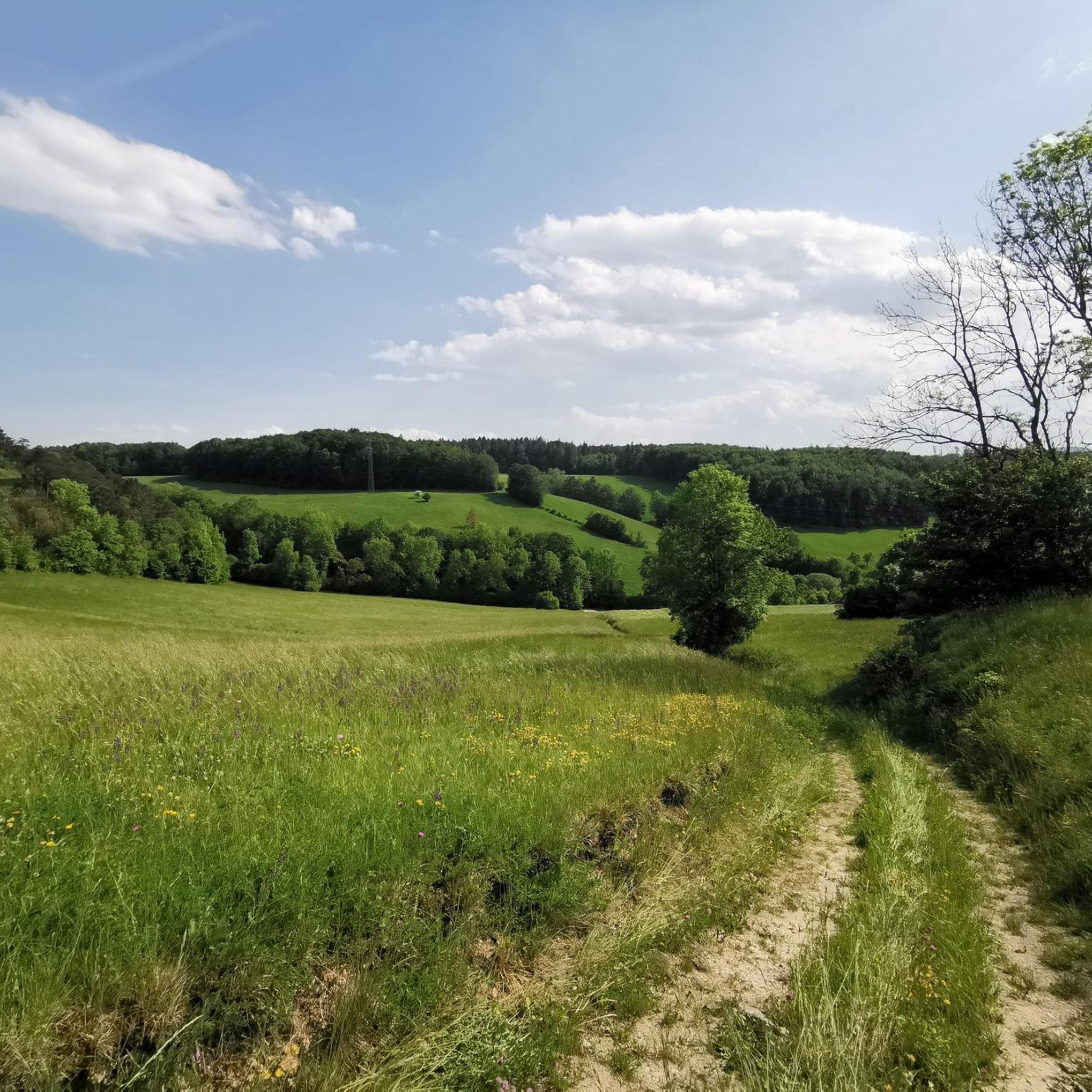
Running Trails around Weissenbach an der Triesting
Other adventures around Weissenbach an der Triesting

Tips from the Community

The Hockeck-Schutzhaus, located at over 1,000 m, with its Meyringer viewing platform is accessible via numerous hiking trails. The platform offers an impressive view over the Vienna Woods at the transition to the Prealps.
0
0
Good food, great atmosphere, starters, main courses and a great ice cream pancake for dessert A very pleasant atmosphere
1
0
The Arnstein Castle was first mentioned in writing in 1170. The first castellan and builder of the complex was Wichard von Arnstein, who was the feudal lord of Hohen Lindkogel and Peilstein at that time. The von Arnstein family owned the castle until the 14th century.
1
0

Beautiful clear spring, a little spot to rest😊
0
0

My local mountain. The birthplace of my great love for nature, mountains, and horizons. Under optimal conditions, the Velka Javorina, 156km away; 970m high on the Czech-Slovak border, can (theoretically) be seen as the furthest point. Exactly to the south is the Wechsel, further west the Schneeberg, Rax, Schneealpe, Obersberg, Gippl, Unterberg, Großer Zellerhut, Ötscher and then Reisalpe, Hochstaff and the Danube valley to the north.
0
0
A brilliant place to watch sunsets in the summer
0
0
A very mystical and easily accessible summit, perfect for watching long sunsets in summer. The pine-covered mountain and rock face were already used to determine the date from afar during the time of the first permanent settlements, hence the name. At the Fuchshof farm in Nöstach, there is a calendar from which you can observe the sunrises over prominent points on the rock face from approximately November to March.
0
0

Beautiful, quiet spot in the forest
0
0
Frequently Asked Questions
How many hiking trails are available in Weissenbach an der Triesting?
There are over 50 hiking trails around Weissenbach an der Triesting, offering a wide range of options for all skill levels. These include 15 easy, 33 moderate, and 7 difficult routes.
Are there easy hiking trails suitable for families or beginners?
Yes, Weissenbach an der Triesting offers several easy trails perfect for families and beginners. Paths along the Triestingsbach stream are generally flat and relaxing. For a specific example, the 'Triesting Cycle Path – Hiking trail along the Triesting loop' is a moderate route that follows the river and is suitable for those looking for a less strenuous walk.
What kind of natural landmarks or attractions can I see while hiking?
The region is rich in natural beauty. You can explore the Hausstein Summit for wonderful views, or ascend to the Gaisstein Summit Cross where chamois are often spotted. The Myra Falls are also a notable natural monument nearby.
Are there any historical sites or ruins to explore on the trails?
Absolutely. Many routes lead past historical sites. You can visit the Arnstein Cave and the Arnstein Castle Ruins, which are accessible via trails like the Arnstein Cave – Arnstein Castle Ruins loop from Katastralgemeinde Schwarzensee. Other nearby ruins include the Ruins of Merkenstein Castle and the Rauheneck Ruins.
What are some challenging hikes for experienced hikers?
For experienced hikers seeking a challenge, the region offers routes with significant elevation gain. The Hiking Car Park – Wolfgang Lang Viewpoint loop from Weissenbach-Neuhaus is a difficult 22.8 km trail that takes over 7 hours to complete and leads to a prominent viewpoint.
Are there any circular hiking routes?
Yes, many of the trails in Weissenbach an der Triesting are circular, allowing you to start and end at the same point. Examples include the View of the Vienna Woods loop from Weissenbach-Neuhaus and the Peilstein Summit Cross – View of the Vienna Woods loop from Katastralgemeinde Neuhaus.
What is the best time of year to go hiking in Weissenbach an der Triesting?
The best times to explore the trails in Weissenbach an der Triesting are during spring and autumn. In spring, the landscape is vibrant with fresh greenery, while autumn offers colorful foliage, making for particularly scenic hikes.
Are there any hikes with panoramic viewpoints?
Yes, the region is known for its scenic viewpoints. The Anninger, often considered the local mountain, offers breathtaking panoramic views. The View of the Vienna Woods loop from Weissenbach-Neuhaus provides expansive vistas across the Vienna Woods, and the Peilstein Summit Cross also offers great views.
What do other hikers say about the trails in Weissenbach an der Triesting?
The hiking routes in Weissenbach an der Triesting are highly rated by the komoot community, with an average score of 4.5 stars from over 1,300 reviews. Hikers often praise the diverse terrain, from river paths to challenging mountain ascents, and the well-maintained trails.
Is Weissenbach an der Triesting accessible by public transport for hikers?
Weissenbach an der Triesting is generally accessible by public transport, connecting it to larger towns. It's advisable to check local bus and train schedules for specific routes and starting points to plan your hike accordingly.
Are there options for parking near the trailheads?
Yes, many trailheads in and around Weissenbach an der Triesting offer designated parking areas. For longer or more challenging routes, such as the Hiking Car Park – Wolfgang Lang Viewpoint loop from Weissenbach-Neuhaus, specific hiking car parks are available.
Most popular routes around Weissenbach an der Triesting
Most popular attractions around Weissenbach an der Triesting

Get inspired with the komoot mobile app


Explore more
Browse the best Hikes in other regions.
