The best walks and hikes around Weissach
4.7
(410)
1,665
hikers
117
hikes
Hiking around Weissach offers diverse natural landscapes within Germany's Böblingen district, characterized by rolling hills, dense forests, and clear rivers. The region features the charming Heckengäu landscape, with varied terrain of fields, hedges, and woodlands. Proximity to the Würm Valley and Enz Valley provides scenic routes along waterways, making it suitable for outdoor activities.
Best hiking trails around Weissach
- The most popular hiking route is View at the edge of the forest – View over the fields loop from Weissach…
Last updated: October 7, 2026
4.6
(21)
85
hikers
11.3km
03:09
210m
210m
Moderate hike. Good fitness required. Easily-accessible paths. Suitable for all skill levels.
4.5
(17)
56
hikers
6.15km
01:44
130m
130m
Easy hike. Great for any fitness level. Easily-accessible paths. Suitable for all skill levels.

4.3
(48)
161
hikers
11.9km
03:20
230m
230m
Moderate hike. Good fitness required. Easily-accessible paths. Suitable for all skill levels.
4.8
(14)
38
hikers
8.30km
02:16
130m
130m
Moderate hike. Good fitness required. Easily-accessible paths. Suitable for all skill levels.
5.0
(2)
17
hikers
6.51km
01:51
150m
150m
Easy hike. Great for any fitness level. Easily-accessible paths. Suitable for all skill levels.
Get access to more routes and recommendations from other explorers.
Already have an account?
Our route recommendations are based on thousands of hikes, rides, and runs completed by other people on komoot.
Start today with a free account
Your next adventure awaits.
Tips from the Community

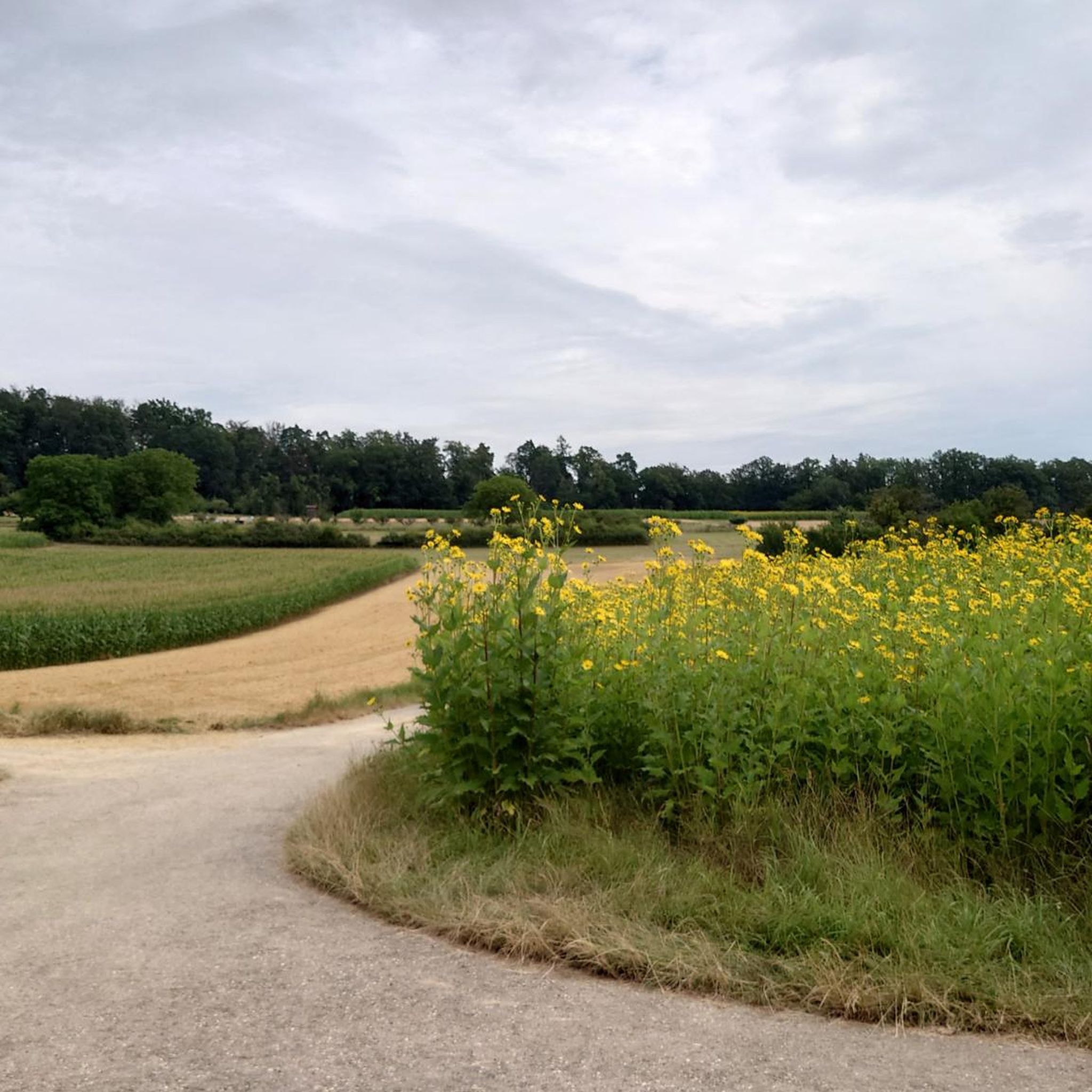
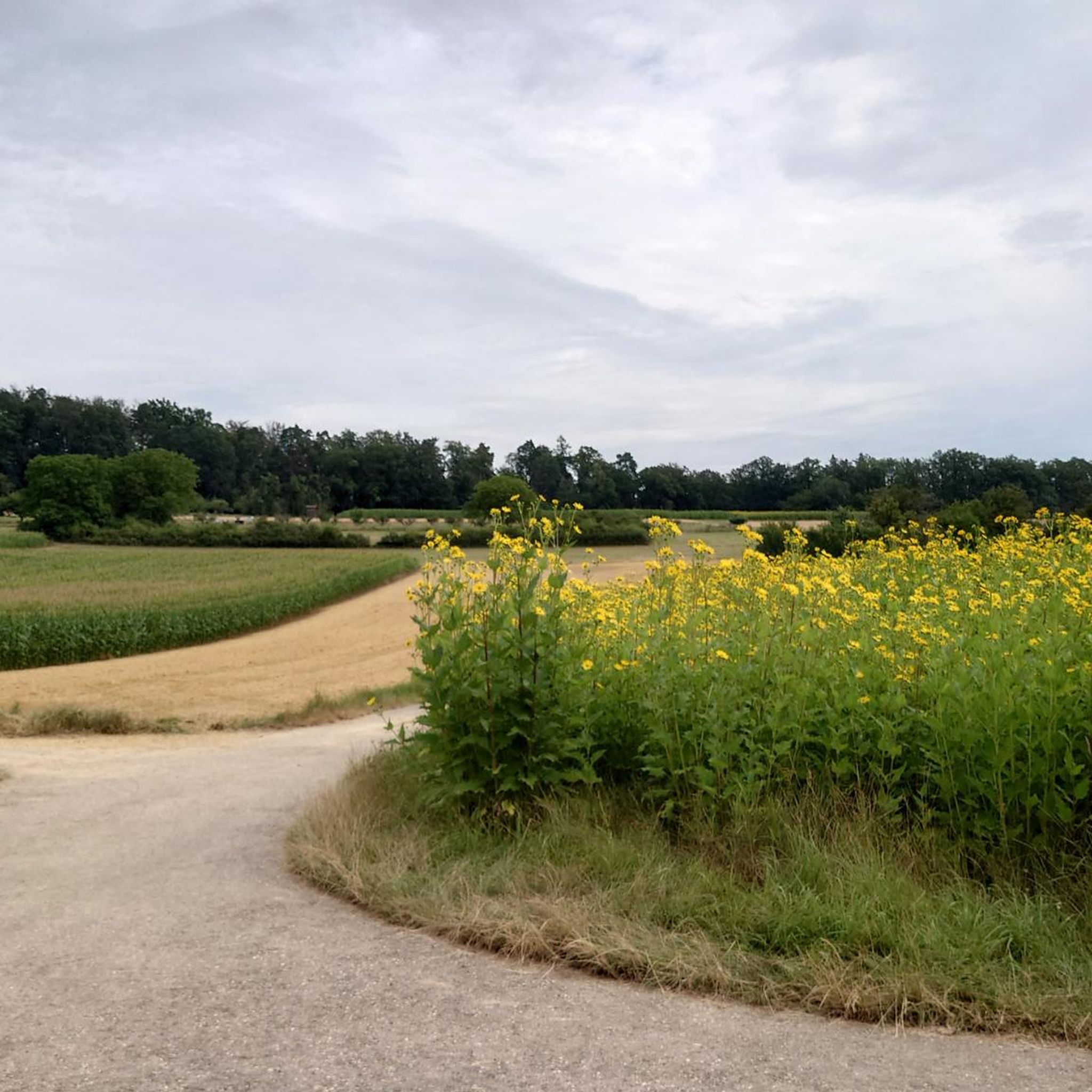
From here you can peek out of the forest onto a beautiful field landscape.
0
0

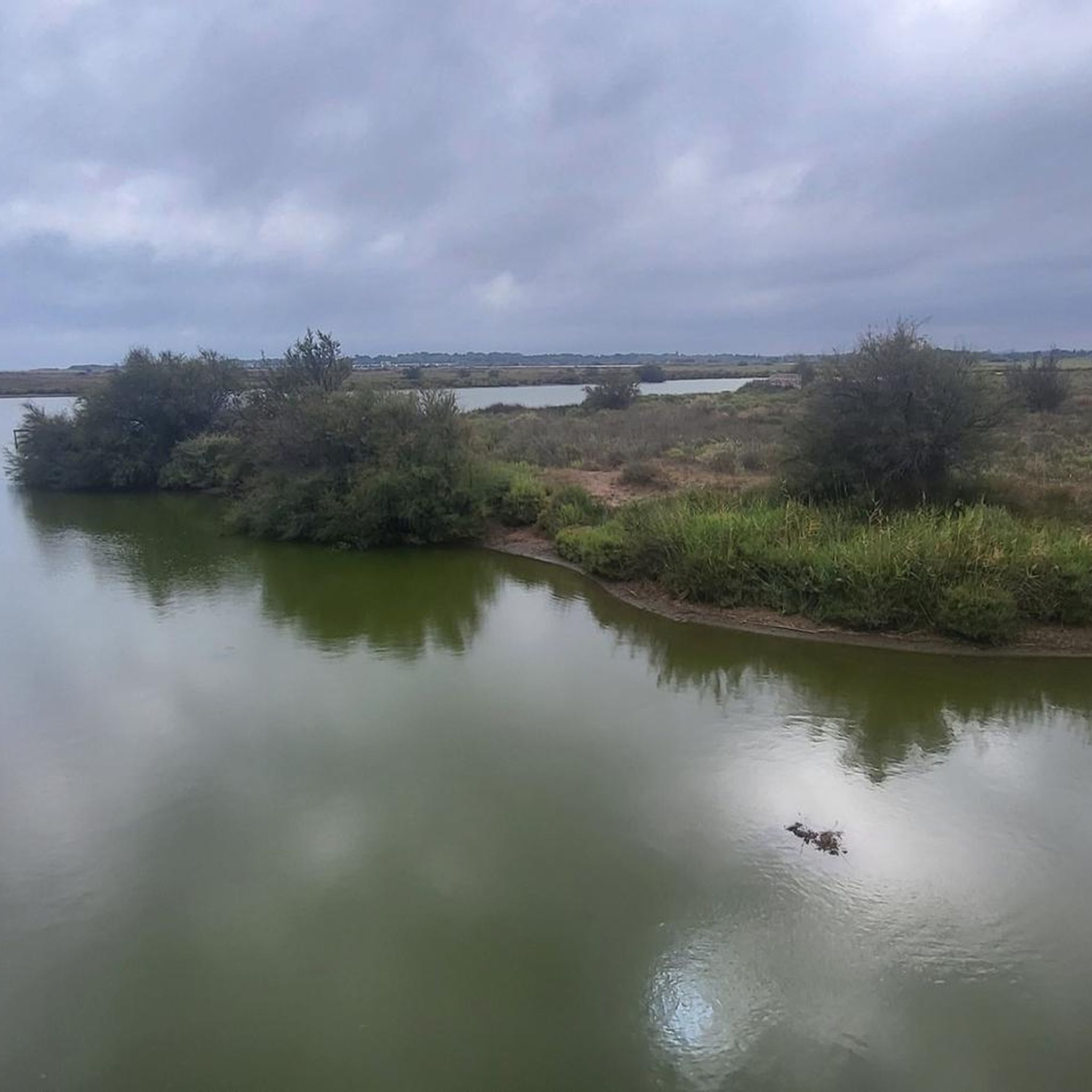
three ponds right next to each other
1
1

Natural forest path as a shortcut or worthwhile alternative to the gravel forest paths in this area.
3
0
Barbecue area of the municipality of Wrissach near the CVJM home or below the Friedenshöhe with several seating areas and nearby parking.
5
0
Wonderful view of the Heutal from the Traufweg.
6
0

Beautiful and "exciting" 👍 The paths marked on the maps are sometimes(!) difficult, or even impossible, to recognize as such 😅 Nevertheless, the "lime kiln" is worth it!
0
0
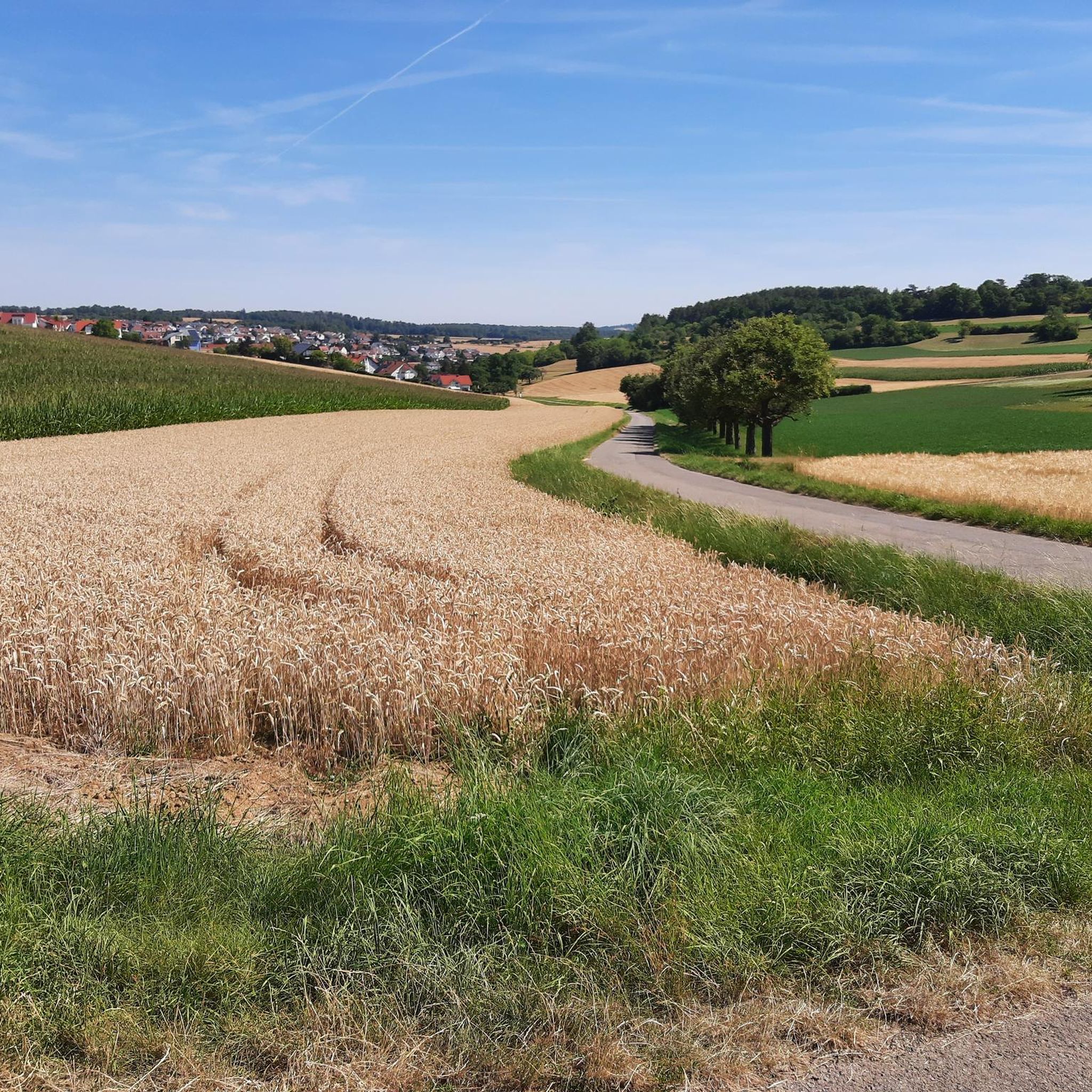
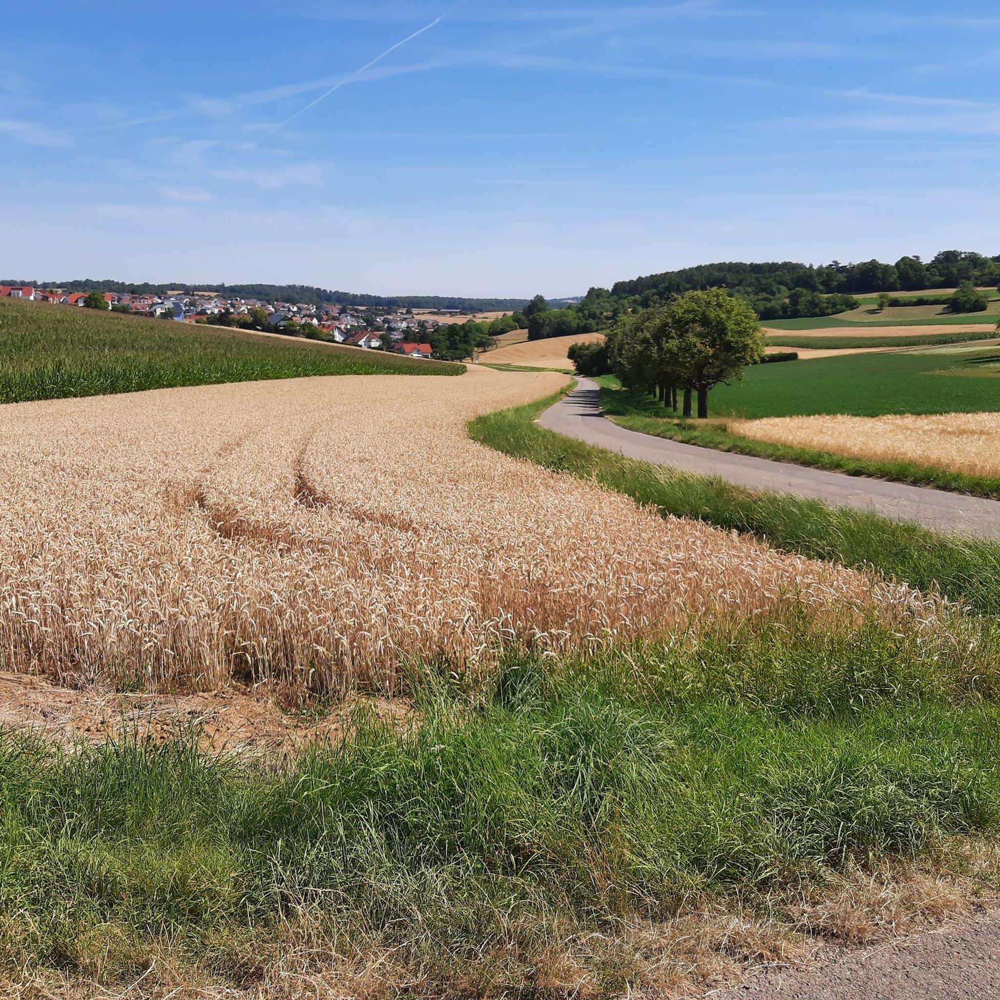
Beautiful view at Belzlengrund towards Heimerdingen and Weissach.
11
0
Beautiful, mood-stimulating sculptures in the center of Weissach
2
0
Frequently Asked Questions
How many hiking trails are available around Weissach?
There are over 120 hiking routes around Weissach, offering a wide range of options for different preferences and fitness levels. These include 86 easy trails and 34 moderate trails, ensuring there's something for everyone.
What kind of landscape can I expect when hiking in Weissach?
The region around Weissach is characterized by the charming Heckengäu landscape, featuring rolling hills, dense forests, and clear rivers. You'll traverse varied terrain of fields, hedges, and woodlands, with scenic routes along the Würm Valley and Enz Valley. It's a picturesque setting, especially beautiful with fruit tree blossoms in spring and colorful vineyards in autumn.
Are there easy hiking trails suitable for beginners or families in Weissach?
Yes, Weissach offers many easy trails perfect for beginners or families. One such route is the Friedenshöhe Barbecue Area – Panorama bench loop from Weissach, which is 4 miles (6.5 km) long and takes about 1 hour 50 minutes to complete. This route offers gentle climbs and rewarding views.
Can I find circular hiking routes in Weissach?
Many of the hiking routes around Weissach are circular, allowing you to start and end at the same point. For example, the View at the edge of the forest – View over the fields loop from Weissach is a popular 6.9-mile (11.2 km) loop offering expansive views. Another great option is the Sequoias – Linden Avenue on the Friedenshöhe loop from Weissach, a 7.4-mile (11.9 km) route that combines forest paths with open areas.
What are some notable natural features or landmarks to see on hikes around Weissach?
Hikers can discover several interesting natural features and landmarks. The unique Rock Gardens Mühlhausen is a nature reserve on the Enzschleife. You can also explore the scenic Würm Valley and the Enz Valley Cycle Path, which follows the Enz River. Additionally, the Nippenburg Castle Ruins are a popular local recreation destination.
Are there any nature reserves or areas for wildlife observation in Weissach?
Yes, the region includes nature and bird reserves. The Kalkofen Nature Reserve – Feldweg durch Hecken loop from Kalkofen is a 4.6-mile (7.4 km) trail that takes you directly through a designated nature and bird reserve, where you might spot wild orchids and various bird species.
What do other hikers enjoy most about hiking in Weissach?
The hiking trails around Weissach are highly rated by the komoot community, with an average score of 4.7 stars from over 380 reviews. Hikers often praise the diverse and picturesque natural landscapes, the well-developed trail networks, and the serene atmosphere that offers peaceful views and wide vistas.
Are there any specific viewpoints or panoramic spots along the trails?
Many trails in Weissach feature slight climbs that reward hikers with picturesque views. Routes like the View at the edge of the forest – View over the fields loop from Weissach are specifically known for their expansive views over the surrounding fields and the charming Heckengäu landscape.
What is the best time of year to go hiking in Weissach?
Weissach is beautiful throughout the year, but spring and autumn offer particularly scenic experiences. In spring, you can enjoy vibrant fruit tree blossoms, while autumn brings colorful vineyards. The varied terrain and dense forests provide pleasant hiking conditions in most seasons.
Are there options for parking near the hiking trailheads in Weissach?
Yes, Weissach is well-equipped for hikers, and many trailheads offer convenient parking facilities. Specific parking information can often be found on individual route pages or local tourism resources, making it easy to access the trails by car.
Can I reach hiking trails in Weissach using public transport?
Weissach is a community with good accessibility. While specific public transport connections to every trailhead may vary, the area is generally well-connected, and local buses often serve the community, providing access to various starting points for hikes. It's advisable to check local bus schedules for the most up-to-date information.
Are there any trails that pass through villages or offer opportunities to explore local culture?
Yes, some routes integrate local villages into the hiking experience. For instance, the Forest Adventure Trail near Flacht includes a walk through the village of Flacht, allowing you to see local architecture like a fortified church and experience the community's charm alongside the natural beauty.
Most popular attractions around Weissach

Get inspired with the komoot mobile app


Explore more
Browse the best Hikes in other regions.
