The best road cycling routes around Norton
4.3
(94)
3,440
riders
234
rides
Road cycling routes around Norton feature a landscape characterized by rolling hills, woodlands, and agricultural areas. The region offers varied terrain, from gentle gradients suitable for leisurely rides to more challenging climbs. Cyclists can expect routes that traverse historical sites and natural reserves, with some paths passing by reservoirs and through forested sections.
Best road cycling routes around Norton
- The most popular road cycling route is Drakeholes Tunnel – The Old School Tearooms loop from Sherwood Forest National Nature Reserve…
Last updated: May 28, 2026
3.0
(1)
315
riders
Moderate road ride. Good fitness required. Mostly well-paved surfaces and easy to ride.
74
riders
19.6km
00:50
140m
140m
Easy road ride. Great for any fitness level. Mostly well-paved surfaces and easy to ride.

Sign up for free
5.0
(1)
19
riders
92.8km
04:14
800m
800m
Moderate road ride. Good fitness required. Mostly well-paved surfaces and easy to ride.
19
riders
96.9km
05:31
1,630m
1,630m
Hard road ride. Very good fitness required. Mostly well-paved surfaces and easy to ride.
16
riders
84.6km
04:32
1,100m
1,100m
Hard road ride. Very good fitness required. Mostly well-paved surfaces and easy to ride.
Get access to more routes and recommendations from other explorers.
Sign up for free
Already have an account?
Our route recommendations are based on thousands of hikes, rides, and runs completed by other people on komoot.
Start today with a free account
Your next adventure awaits.
Login or Signup
Tips from the Community

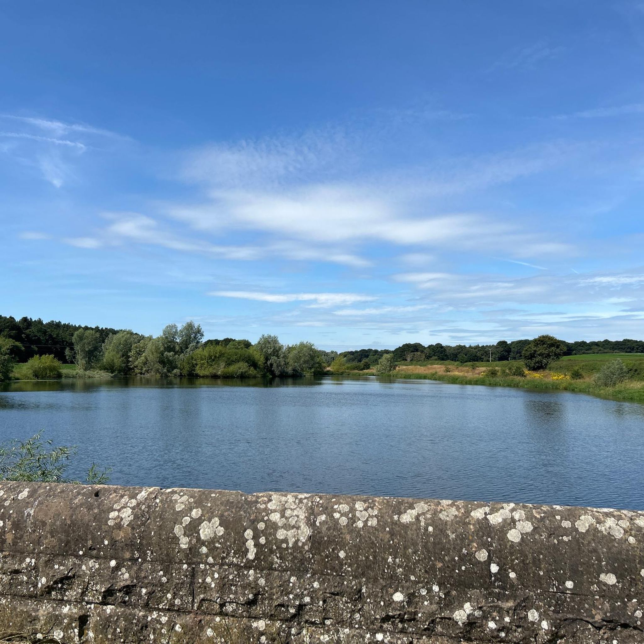
Hiking down the a road for a stunning view of Ogston Reservoir from Ashover
0
0


Lime Tree Avenue is one of Clumber Parks most striking features. At around two miles long, and lined with 1,296 lime trees, it's recognised as the longest double avenue of lime trees in Europe. Leading into the heart of the park, it's a wonderful place that gives a very strong sense of arrival.
1
0

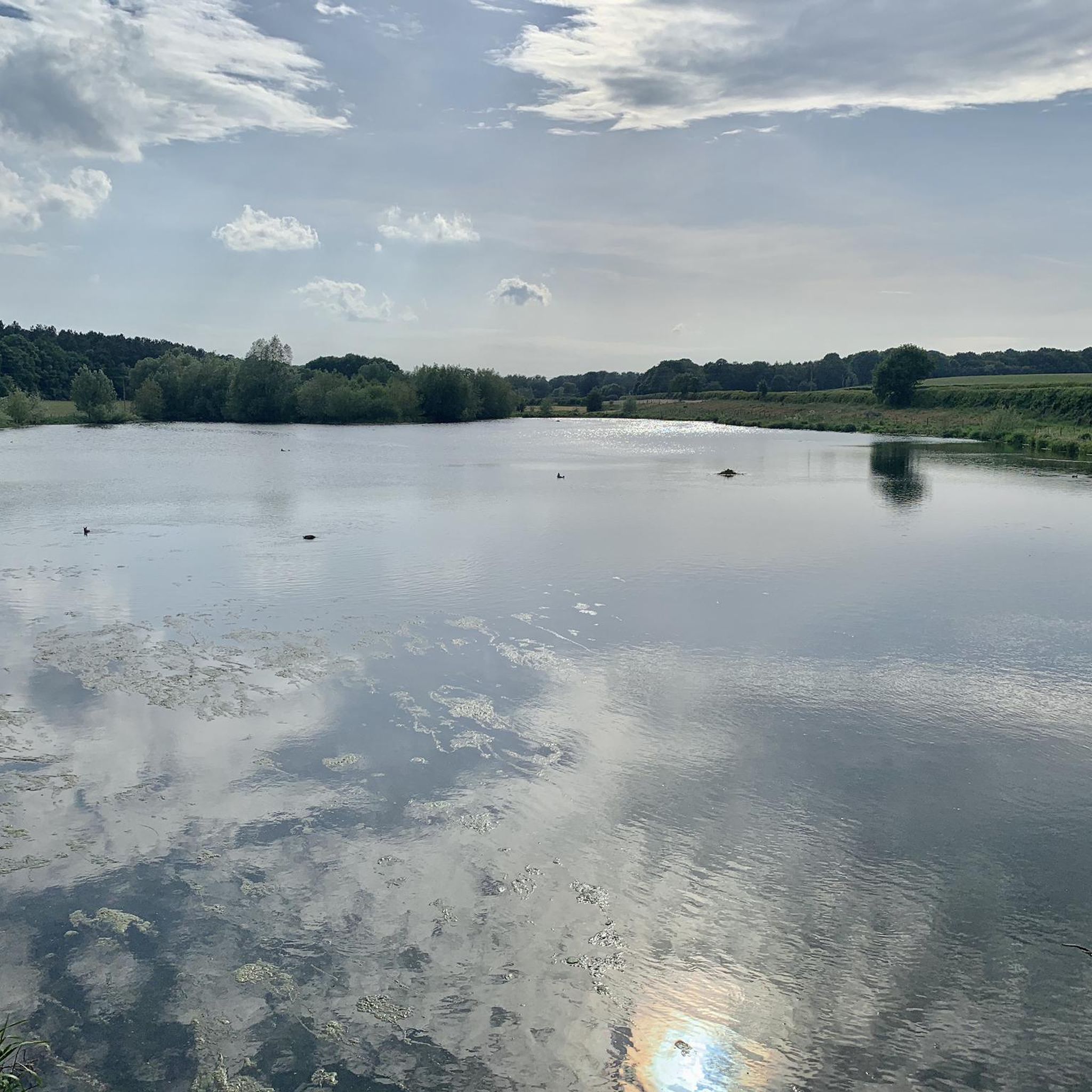
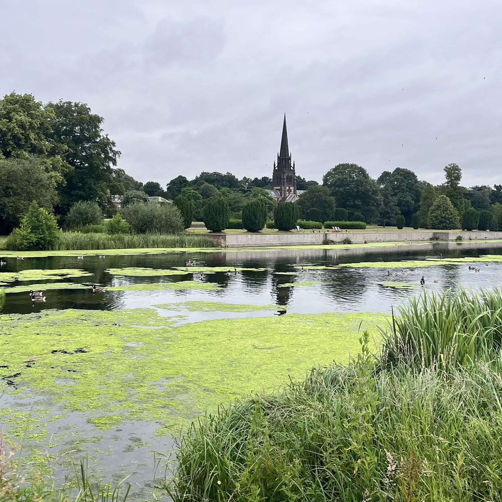
beautiful peaceful spot with car park and bird hide
0
0


Along the Chesterfield canal from Worksop heading towards Retford you come to this very picturesque lock, lock house and cart Bridge. Over the bridge will take you into Scofton over, or through the river Ryton. It's a beautiful spot to stop for a while.
0
0


Frequently Asked Questions
How many road cycling routes are available around Norton?
There are over 230 road cycling routes around Norton, offering a wide range of options for different skill levels and preferences. You'll find everything from easy park loops to challenging routes with significant elevation gain.
What kind of terrain can I expect on road cycling routes in Norton?
Road cycling routes around Norton feature a diverse landscape. You can expect rolling hills, woodlands, and agricultural areas. The terrain varies from gentle gradients suitable for leisurely rides to more challenging climbs, especially in areas like Norton, Virginia, where routes can lead up to elevations like High Knob at 4,200 feet.
Are there any easy road cycling routes suitable for beginners or families?
Yes, Norton offers several easy road cycling routes. A great option for a relatively flat ride through parkland scenery is the Clumber Park Bridge – Clumber Park loop from Sherwood Forest National Nature Reserve, which is about 12.5 miles (20.1 km) long. In Norton, Massachusetts, routes like the Walsham le Willows – Bench With a View of the River loop are also noted as easier options.
Where can I find challenging road cycling routes with significant climbs?
For more advanced cyclists seeking significant climbs, Norton has several options. The Pleasley Pit – Oxton Bank Climb loop from Langwith-Whaley Thorns is a 57.7-mile (92.8 km) trail with substantial elevation. Another demanding route is the Whitewells Lane Climb – Bolsover Castle loop from Langwith-Whaley Thorns, which covers nearly 97 km and features over 1600 meters of ascent.
What natural features or landmarks can I see along the road cycling routes?
Many routes pass by interesting natural features and historical sites. You might cycle past high-elevation reservoirs, impressive rock outcrops, and secluded woods. Notable attractions include Clumber Park, Pleasley Pit Colliery and Nature Reserve, and The Major Oak. In Norton, Virginia, the Flag Rock Recreation Area offers views of Flag Rock, a striking sandstone pinnacle, and the expansive vistas from High Knob.
Are there any loop routes for road cycling in Norton?
Yes, many of the road cycling routes around Norton are designed as loops, allowing you to start and finish at the same point. Examples include the popular Drakeholes Tunnel – The Old School Tearooms loop from Sherwood Forest National Nature Reserve and the Clumber Park Bridge – Clumber Park loop from Sherwood Forest National Nature Reserve.
What do other road cyclists say about the routes in Norton?
The road cycling routes in Norton are highly rated by the komoot community, with an average score of 4.2 stars from over 80 reviews. Cyclists often praise the varied terrain, from quiet woodlands to routes traversing historical sites, and the options available for different ability levels.
Are there any routes that offer scenic views or viewpoints?
Absolutely. Many routes offer scenic views, particularly those that traverse higher elevations or pass by natural water bodies. In Norton, Virginia, the paved roads leading up to High Knob provide expansive 360-degree views. Routes in Norton, Ohio, benefit from scenic parks and reservoirs like Silver Creek Metro Park and the Michael J. Kirwan Reservoir. The Pheasant Ridge Trail in Norton, Kansas, also offers scenic views along the north shore of Harlan County Lake.
What are the typical distances and durations for road cycling routes in the area?
Route distances vary significantly, from shorter, easy rides of around 12.5 miles (20 km) like the Clumber Park Bridge – Clumber Park loop, to longer, more challenging routes exceeding 50 miles (80 km). For instance, the Drakeholes Tunnel – The Old School Tearooms loop is 57.9 miles (93.2 km) and typically takes around 3 hours 48 minutes to complete.
Are there any routes that pass by lakes or reservoirs?
Yes, several road cycling routes in Norton pass by picturesque lakes and reservoirs. In Norton, Virginia, you'll find high-elevation reservoirs. Norton, Ohio, features the Michael J. Kirwan Reservoir, and Norton, Kansas, is home to the Keith Sebelius Reservoir. You can also explore routes near Vicar Water Lake and Creswell Crags: Gorge and Lake.
What are the options for more difficult road cycling routes?
For experienced cyclists looking for a challenge, Norton offers several difficult routes. The Whitewells Lane Climb – Bolsover Castle loop from Langwith-Whaley Thorns is a difficult 96.9 km route with over 1600 meters of elevation gain. Another challenging option is the Hardwick Inn – View of Ogston Reservoir loop from Langwith-Whaley Thorns, which is 85 km long with over 1000 meters of ascent.
Most popular attractions around Norton

Get inspired with the komoot mobile app


Explore more
Browse the best Road cycling routes in other regions.
