The best road cycling routes around Weibersbrunn
4.4
(201)
2,010
riders
44
rides
Road cycling routes around Weibersbrunn traverse the varied topography of the Spessart hills in Lower Franconia, Germany. The region features a mix of inclines and descents, providing diverse terrain for road cyclists. Dense forests characterize much of the landscape, offering shaded routes and scenic backdrops. Weibersbrunn itself is situated in the valley of the Weibersbach, contributing to the area's natural features.
Best road cycling routes around Weibersbrunn
- The most popular road cycling route is Descent to Waldaschaff – Hafenlohrtal Nature Reserve loop from Heimbuchenthal, a 30.1 miles (48.4 km) trail that takes 2 hours 20 minutes to complete. This route features descents towards Waldaschaff and passes through the Hafenlohrtal Nature Reserve.
- Another top favourite among local road cyclists is Hafenlohrtalstraße – Hafenlohrtal Nature Reserve loop from Weibersbrunn, a moderate 32.8 miles (52.8 km) path. This route explores the scenic Hafenlohrtalstraße and the protected Hafenlohrtal Nature Reserve.
- Local road cyclists also love the Hafenlohrtal Nature Reserve – Hafenlohrtalstraße loop from Rothenbuch, a 25.4 miles (40.8 km) trail leading through the Hafenlohrtal Nature Reserve, often completed in about 1 hour 50 minutes.
- Road cycling around Weibersbrunn is defined by the Spessart hills, dense forests, and varied terrain with both climbs and descents. The network offers options for easy, moderate, and difficult routes, catering to different ability levels.
- The routes in Weibersbrunn are highly rated by the komoot community with an average score of 4.5 stars from over 140 reviews. More than 1900 road cyclists have used komoot to explore Weibersbrunn's varied terrain.
Last updated: October 4, 2026
4.8
(19)
136
riders
Moderate road ride. Good fitness required. Mostly well-paved surfaces and easy to ride.
4.6
(36)
90
riders
52.8km
02:28
640m
640m
Moderate road ride. Good fitness required. Mostly well-paved surfaces and easy to ride.

4.9
(13)
86
riders
40.4km
01:45
380m
380m
Moderate road ride. Good fitness required. Mostly well-paved surfaces and easy to ride.
4.8
(9)
80
riders
46.8km
02:12
570m
570m
Moderate road ride. Good fitness required. Mostly well-paved surfaces and easy to ride.
4.8
(5)
46
riders
73.8km
03:29
990m
990m
Hard road ride. Very good fitness required. Mostly well-paved surfaces and easy to ride.
Get access to more routes and recommendations from other explorers.
Already have an account?
Our route recommendations are based on thousands of hikes, rides, and runs completed by other people on komoot.
Start today with a free account
Your next adventure awaits.
Tips from the Community

The pilgrimage church of St. Mariä Himmelfahrt in Hessenthal is a very remarkable architectural ensemble. The two Gothic structures, the Chapel of Grace and the old pilgrimage church, are beautiful at first glance. The new pilgrimage church from 1954 is rather sober, but contains extraordinary works of art: the Lamentation of Christ by Tilman Riemenschneider and the Crucifixion group by Hans Backoffen.
4
0

Here you can safely store your bike.
0
0

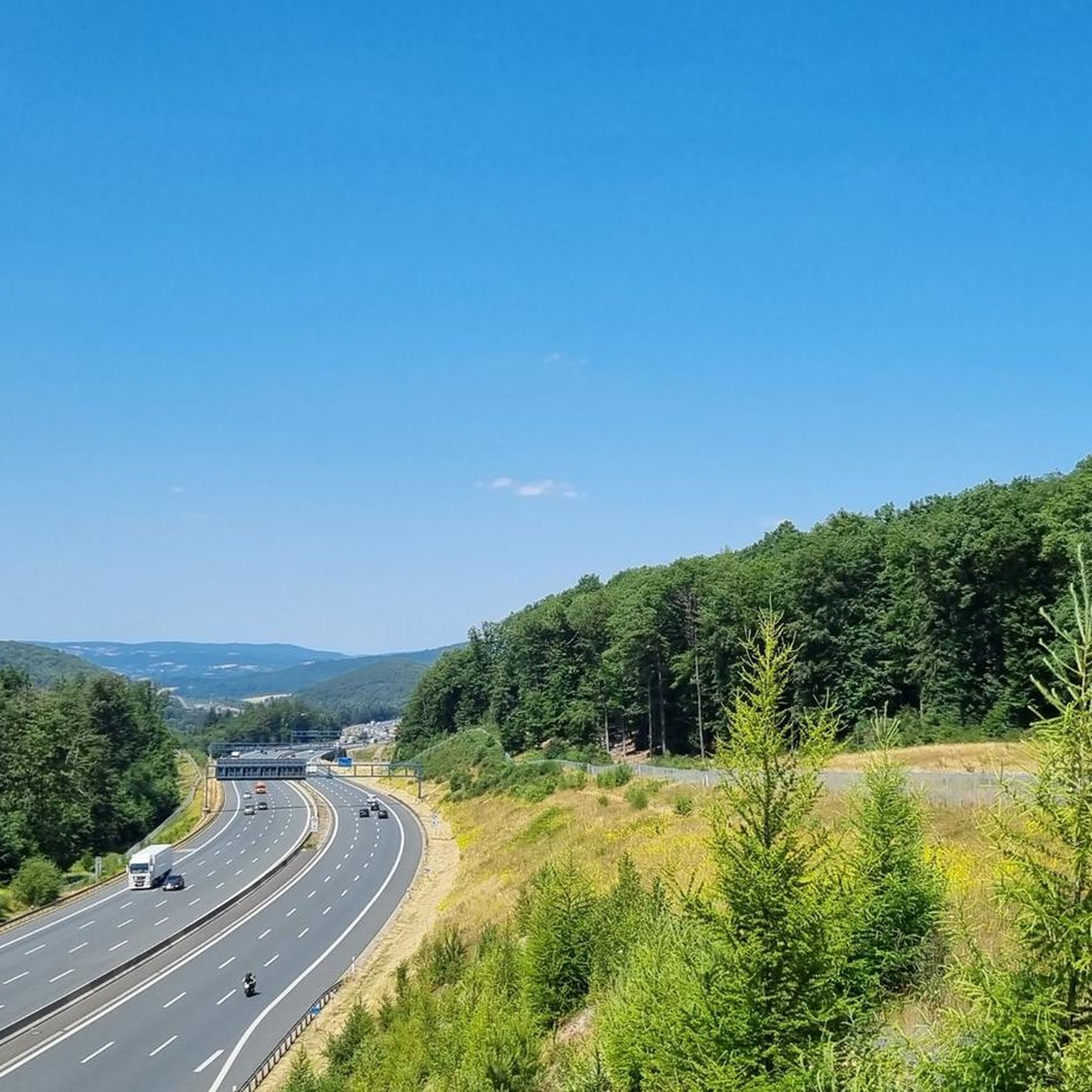
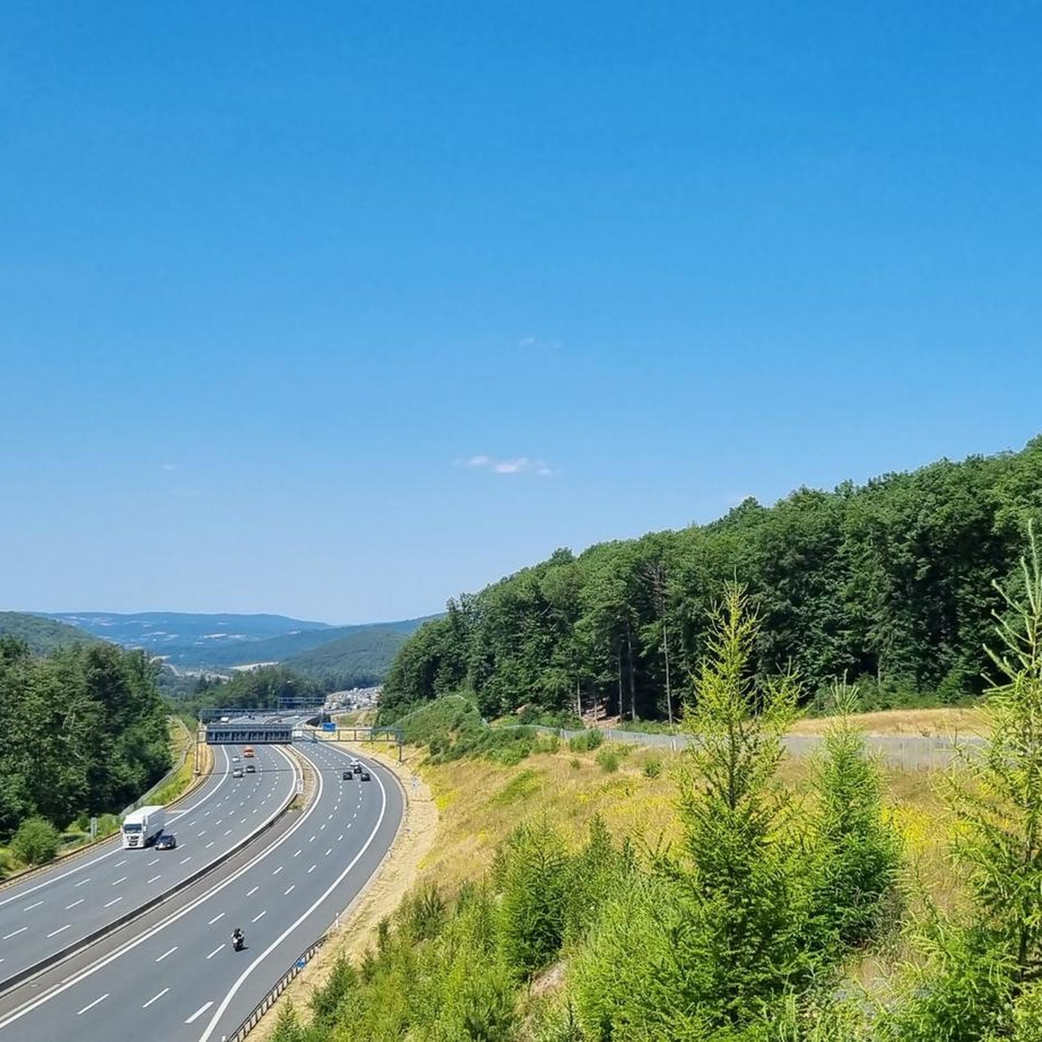
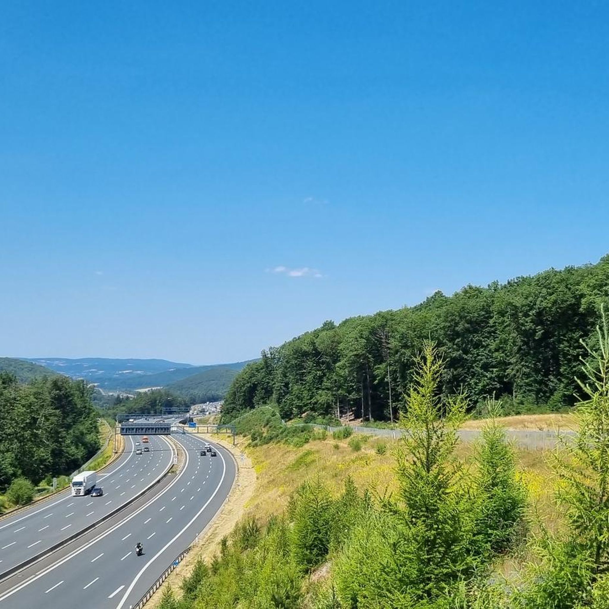
Super ascent or descent. The gradient percentages stay in the moderate range with a maximum of 8% and the asphalt is quite okay to ride on. In summer, you have to be a bit careful with the play of shadows caused by the sunlight filtering through the treetops. Here and there, you might otherwise overlook a small pothole in the asphalt or a crack/longitudinal joint in the road surface.
1
0

It looks really great and is the end or beginning of a beautiful descent or a tough climb.
0
0

The church is open daily from 9:30 a.m. to 5:00 p.m. The interior is rather simple, but still worth seeing.
1
0

The Hafenlohr is a 26.5 km (27.7 km with Tiergartenbach) long right tributary of the Main in the districts of Aschaffenburg and Main-Spessart in the Bavarian Spessart. The Hafenlohr originates from two springs in the municipality of Rothenbuch. The longer and sometimes more water-rich spring is the Tiergartenbach, which often dries up on dry days. Officially, it is considered the upper course of the main watercourse of the Hafenlohr. The spring named Hafenlohrquelle, in the middle of the village, provides water almost all year round. The Hafenlohrquelle is located at Rothenbuch Castle. It was channeled in sandstone during the widening of the St 2317 road. Its water flows through the castle moat northwestward and flows, after about a hundred meters, from the left side into the bed of the Tiergartenbach, which comes from the Tiergartengrund on the northern edge of the village and is already 1.3 km long. It does not supply water all year round, but at times more than the also perennial spring at the castle. The spring at the castle was probably once a meeting point for hunting in the eastern Spessart, which is why the construction of a hunting lodge began here in 1342. The spring water fed the castle moat and several surrounding trout ponds, which no longer exist. Source and further information: https://de.wikipedia.org/wiki/Hafenlohr_(Fluss)
1
0
The Hafenlohr is a 26.5 km long (27.7 km including the Tiergartenbach) right tributary of the Main River in the districts of Aschaffenburg and Main-Spessart in the Bavarian Spessart region. The Hafenlohr rises from two springs in the municipality of Rothenbuch. The longer and occasionally more water-rich branch is the Tiergartenbach, which often dries up on dry days. Officially, it is considered the upper course of the Hafenlohr main watercourse. The source, known as the Hafenlohr Spring, in the center of the village provides water almost year-round. The Hafenlohr Spring is located at Rothenbuch Castle. It was encased in sandstone during the road widening of the St 2317. Its water flows northwest through the castle moat and, after about 100 meters, flows from the left bank into the bed of the Tiergartenbach, which flows from the Tiergartengrund on the northern edge of the village and is already 1.3 km[7] long. It doesn't provide water year-round, but at times it provides more than the perennial spring at the castle. The spring at the castle was probably once a meeting place for hunters in the eastern Spessart, which is why construction of a hunting lodge began here in 1342. The spring water fed the castle moat and several surrounding trout lakes, which no longer exist. Source and further information: https://de.wikipedia.org/wiki/Hafenlohr_(Fluss)
1
0
The Hafenlohr is a 26.5 km long (27.7 km including the Tiergartenbach) right tributary of the Main River in the districts of Aschaffenburg and Main-Spessart in the Bavarian Spessart region. The Hafenlohr rises from two springs in the municipality of Rothenbuch. The longer and occasionally more water-rich branch is the Tiergartenbach, which often dries up on dry days. Officially, it is considered the upper course of the Hafenlohr main watercourse. The source, known as the Hafenlohr Spring, in the center of the village provides water almost year-round. The Hafenlohr Spring is located at Rothenbuch Castle. It was encased in sandstone during the road widening of the St 2317. Its water flows northwest through the castle moat and, after about 100 meters, flows from the left bank into the bed of the Tiergartenbach, which flows from the Tiergartengrund on the northern edge of the village and is already 1.3 km[7] long. It doesn't provide water year-round, but at times it provides more than the perennial spring at the castle. The spring at the castle was probably once a meeting place for hunters in the eastern Spessart, which is why construction of a hunting lodge began here in 1342. The spring water fed the castle moat and several surrounding trout lakes, which no longer exist. Source and further information: https://de.wikipedia.org/wiki/Hafenlohr_(Fluss)
1
0
Frequently Asked Questions
How many road cycling routes are available around Weibersbrunn?
There are over 45 road cycling routes around Weibersbrunn, offering a wide range of options for different skill levels and preferences. The region's diverse topography within the Spessart hills ensures varied terrain for every ride.
What kind of terrain can I expect when road cycling in Weibersbrunn?
Road cycling in Weibersbrunn primarily features the varied topography of the Spessart hills. You can expect a mix of inclines and descents, providing both challenging climbs and exhilarating downhills. Dense, magnificent high forests characterize much of the landscape, offering shaded routes and scenic backdrops.
What is the best time of year for road cycling in Weibersbrunn?
The Spessart region, including Weibersbrunn, is beautiful for road cycling from spring through autumn. Spring offers fresh greenery, while autumn provides a vibrant display of colors in the dense forests. Summer rides benefit from the shade provided by the extensive woodlands.
Are there road cycling routes for beginners or less experienced riders?
Yes, Weibersbrunn offers several routes suitable for beginners. Out of the 46 available routes, 9 are classified as easy, providing a gentler introduction to road cycling in the Spessart hills. These routes still allow you to enjoy the scenic beauty without overly demanding climbs.
Are there challenging road cycling routes for experienced riders?
Absolutely. For experienced riders seeking a challenge, Weibersbrunn has routes with significant elevation changes. For example, the Kreuzstein Climb – Spessart Bridge (Wertheim) loop from Heimbuchenthal is a difficult 73.6 km route with nearly 1000 meters of elevation gain, offering a demanding and rewarding experience.
Can I find circular road cycling routes in the Weibersbrunn area?
Many of the road cycling routes around Weibersbrunn are designed as loops, allowing you to start and end at the same point. This includes popular options like the Hafenlohrtalstraße – Hafenlohrtal Nature Reserve loop from Weibersbrunn, which is a moderate 52.8 km circular path.
What natural features can I see along road cycling routes in Weibersbrunn?
The routes often traverse dense forests and the picturesque Spessart hills. You might encounter natural preserves like the Rohrberg nature reserve with its ancient oak and beech trees, or the Naturwaldreservat Eichhall. The region is also home to beautiful lakes such as Waldsee Heimbuchenthal, offering serene views.
Are there any historical landmarks or attractions to visit while road cycling?
Yes, the region boasts several historical attractions. A notable landmark is the enchanting Mespelbrunn Castle, a moated castle dating back to 1427. You can also find charming religious buildings like the Herrenbild Chapel along some routes.
Where can I find scenic viewpoints on road cycling routes around Weibersbrunn?
The hilly terrain of the Spessart offers numerous scenic viewpoints. The Ludwig-Keller Observation Tower on Geishöhe is a prominent spot offering panoramic views of the surrounding landscape. Many routes also pass by various summits like Geiersberg Summit, providing elevated perspectives.
Are there places to stop for refreshments or a break during a ride?
Yes, the area offers welcoming spots for cyclists to rest and refuel. The rustic Hohewart-Haus is a popular forest house known for refreshments and local 'Hohe-Wart beer'. Another option is the Forsthaus im Weihersgrund, which provides a peaceful setting and traditional home-style cooking within the Spessart Nature Park.
Is parking available for road cyclists in Weibersbrunn?
While specific dedicated cyclist parking areas are not always signposted, Weibersbrunn and nearby towns typically offer public parking facilities where you can leave your vehicle. It's advisable to check local parking regulations upon arrival, especially in smaller villages or near popular trailheads.
What do other road cyclists say about the routes in Weibersbrunn?
The road cycling routes around Weibersbrunn are highly rated by the komoot community, with an average score of 4.5 stars from over 140 reviews. Cyclists often praise the varied terrain, the beauty of the dense Spessart forests, and the well-maintained paths that make for an enjoyable riding experience.
Most popular routes around Weibersbrunn
Most popular attractions around Weibersbrunn

Get inspired with the komoot mobile app


Explore more
Browse the best Road cycling routes in other regions.
