The best mountain hikes around Aston
5.0
(3)
17
hikers
6
hikes
Mountaineering routes around Aston primarily lead to the diverse landscapes of the Peak District, characterized by gritstone edges, expansive moorlands, and deep valleys. These areas offer varied terrain suitable for different levels of mountaineering experience. The region features a mix of rocky ascents and open, undulating paths.
Best mountaineering routes around Aston
- The most popular mountaineering route is Curbar Edge – Froggatt Edge loop from Grindleford, a 6.7 miles (10.8 km) trail that takes 3 hours 5 minutes to…
Last updated: September 30, 2026
5.0
(1)
4
hikers
10.8km
03:05
240m
240m
Moderate mountaineering route. Good fitness required. Easily-accessible paths. Suitable for all skill levels.
5.0
(1)
3
hikers
18.0km
05:28
550m
560m
Hard mountaineering route. Very good fitness required. Mostly accessible paths. Sure-footedness required.

3
hikers
8.60km
02:53
380m
380m
Moderate mountaineering route. Good fitness required. Mostly accessible paths. Sure-footedness required.
5.0
(1)
2
hikers
11.0km
03:35
430m
430m
Moderate mountaineering route. Good fitness required. Mostly accessible paths. Sure-footedness required.
3
hikers
Moderate mountaineering route. Good fitness required. Easily-accessible paths. Suitable for all skill levels.
Our route recommendations are based on thousands of hikes, rides, and runs completed by other people on komoot.
Start today with a free account
Your next adventure awaits.
Tips from the Community

Upper Booth Farm is a lovely rural retreat with good camping facilities. Please mind the footpath, and remember to close gates to avoid wandering livestock. https://www.vanillagiftcard-balance.com
0
0

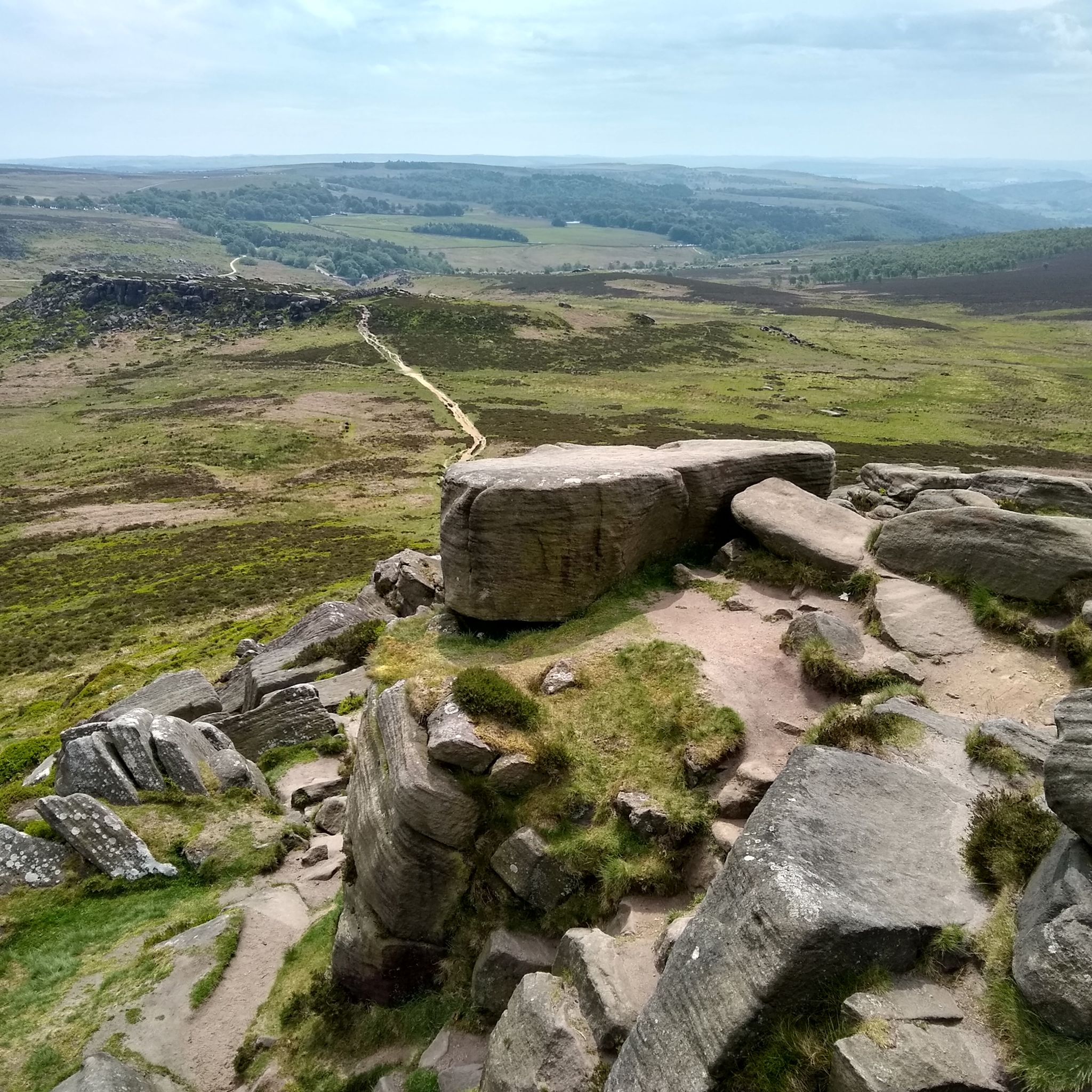
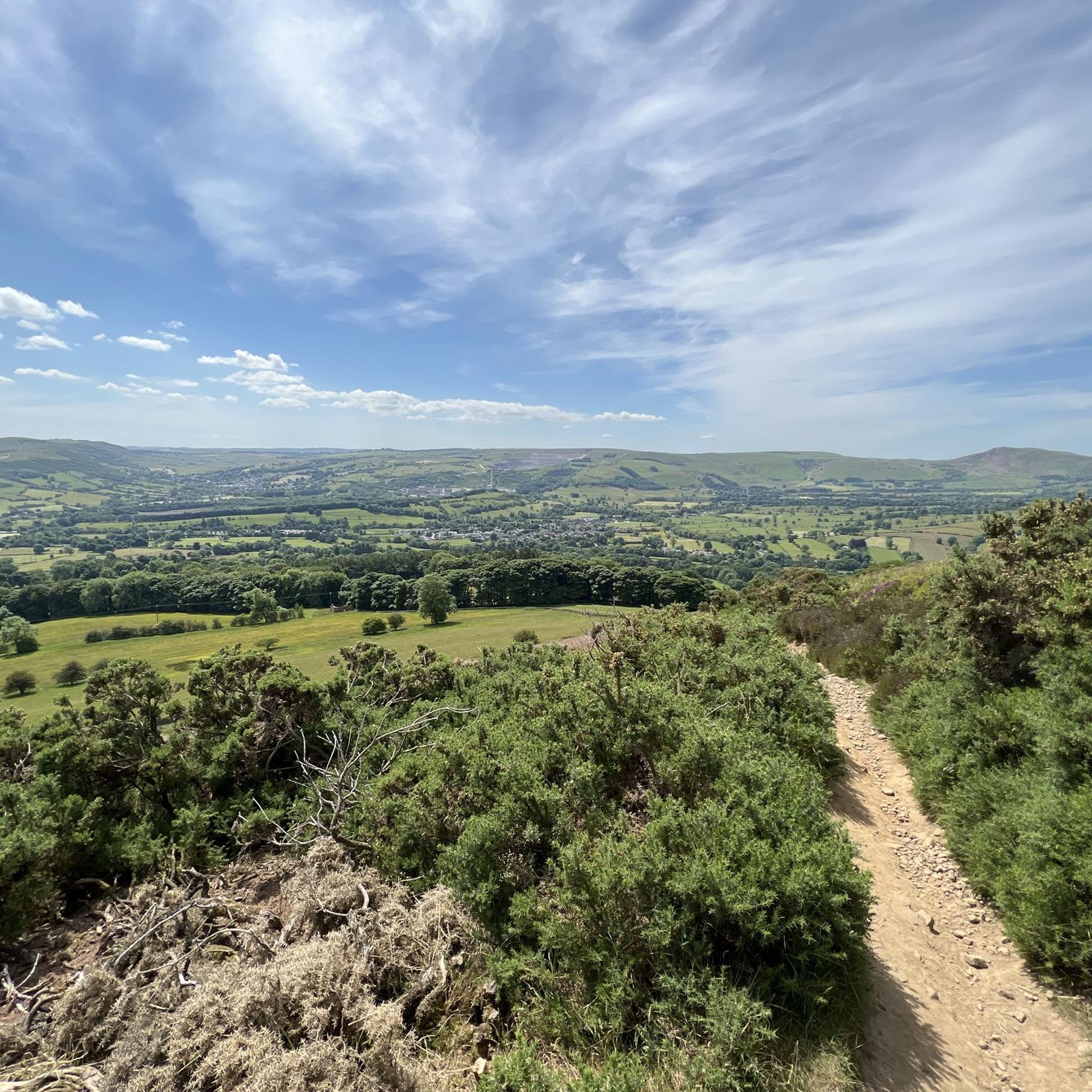
Nice views of the surroundings from the top.
0
0

Great place to across the "Parrot Lady" Chloe
0
0

Great sport for both sunrises and Sunsets
0
0
Great place to start hikes parking can get busy but plenty of routes to take
0
0

Frequently Asked Questions
How many mountaineering routes are available near Aston?
There are 7 mountaineering routes detailed in this guide, all located in the nearby Peak District. These routes offer a range of experiences, from moderate to challenging.
Are there any beginner-friendly mountaineering routes for those new to the sport?
While all routes require a reasonable level of fitness, several moderate options are suitable for those with some hiking experience looking to try mountaineering. For example, the Edale Village – Upper Booth Farm loop from Edale is a moderate 10.9 km route that takes around 3 hours 34 minutes to complete.
What are some challenging mountaineering routes for experienced climbers?
For experienced mountaineers seeking a challenge, the Grindslow Knoll Summit – Mam Tor summit and trig point loop from Edale is a difficult 17.9 km path with significant elevation gain, offering panoramic vistas from prominent peaks. This route typically takes over 5 hours to complete.
What kind of terrain can I expect on mountaineering routes near Aston?
The mountaineering routes around Aston primarily lead into the Peak District, characterized by diverse terrain including gritstone edges, expansive moorlands, and deep valleys. You can expect a mix of rocky ascents and open, undulating paths.
Are there any circular mountaineering routes available?
Yes, many of the routes are circular, allowing you to start and end in the same location. An example is the Curbar Edge – Froggatt Edge loop from Grindleford, a moderate 10.8 km trail offering views across the Derwent Valley.
What do other mountaineers enjoy most about the routes near Aston?
The routes in the Peak District, accessible from Aston, are highly rated by the komoot community, with an average score of 5.0 stars. Reviewers often praise the varied terrain, stunning panoramic views, and the sense of accomplishment from tackling challenging ascents.
Are there any scenic viewpoints or landmarks along these routes?
Absolutely. The Peak District offers numerous scenic viewpoints and landmarks. You can find stunning views from Mam Tor summit and trig point, Lose Hill Summit, and Trig point at Win Hill summit. Higger Tor is also a notable gritstone outcrop.
Can I access these mountaineering routes using public transport from Aston?
While Aston itself is a base for the university's mountaineering club, the actual routes are in the Peak District. Many trailheads, particularly around Edale and Grindleford, are accessible by train from major cities, which can be reached from Aston. It's advisable to check specific train and bus schedules for your chosen starting point.
Are there any places to stay overnight near the mountaineering trails?
Yes, there are several options for accommodation. You can find huts and bunkhouses like Upper Booth Farm, Thorpe Farm Bunkhouses, and the YHA Edale Activity Centre, which are popular among mountaineers.
What is the best time of year for mountaineering near Aston?
The spring, summer, and early autumn months (April to October) generally offer the most favorable conditions for mountaineering in the Peak District, with longer daylight hours and milder weather. However, the region can be enjoyed year-round, with winter offering unique challenges for experienced individuals, provided they are equipped for snow and ice.
Are the mountaineering routes suitable for families?
While the routes in this guide are classified as mountaineering and range from moderate to difficult, some of the moderate options might be suitable for active families with older children who have hiking experience. Always check the distance, elevation gain, and difficulty of a specific route before setting out with family members.
Are dogs allowed on the mountaineering trails?
Many trails in the Peak District are dog-friendly, but it's crucial to keep dogs on a lead, especially in areas with livestock or ground-nesting birds. Always check local signage and respect the countryside code. Be prepared for stiles and potentially rocky terrain that might be challenging for some dogs.
What should I wear for mountaineering in the Peak District?
Layered clothing is essential, as weather conditions can change rapidly. This includes waterproof and windproof outer layers, warm mid-layers, and moisture-wicking base layers. Sturdy hiking boots with good ankle support, a hat, gloves, and sun protection are also highly recommended.
Are there any routes that pass by reservoirs or water features?
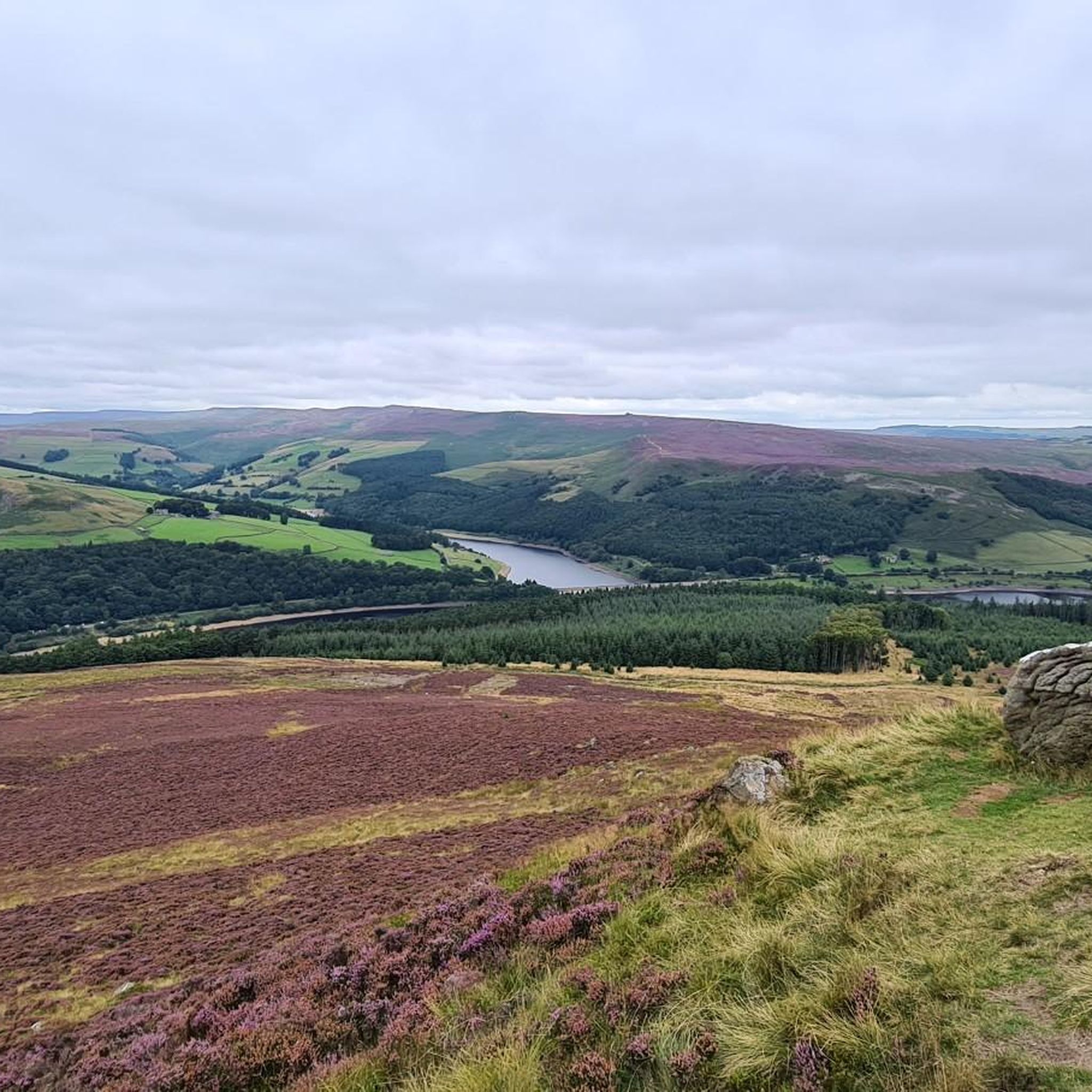
Yes, some routes offer views of or pass near reservoirs. For instance, the Trig point at Win Hill summit – Ladybower Reservoir Overflow loop from Bamford provides views of the impressive Ladybower Reservoir.
Most popular routes around Aston
Most popular attractions around Aston

Get inspired with the komoot mobile app


Explore more
Browse the best Mountain Hikes & Routes in other regions.
