The best mountain hikes around Hathersage
5.0
(1)
8
hikers
3
hikes
Mountaineering routes around Hathersage are situated within the Peak District National Park, characterized by dramatic gritstone edges and varied terrain. The region features prominent escarpments like Stanage Edge and Millstone Edge, alongside distinctive landmarks such as Higger Tor. These landscapes offer a range of ascents and traverses, providing diverse experiences for mountaineers.
Best mountaineering routes around Hathersage
- The most popular mountaineering route is Curbar Edge – Froggatt Edge loop from Grindleford, a 6.7 miles (10.8 km) trail that takes…
Last updated: August 6, 2026
5.0
(1)
4
hikers
10.8km
03:05
240m
240m
Moderate mountaineering route. Good fitness required. Easily-accessible paths. Suitable for all skill levels.
3
hikers
Moderate mountaineering route. Good fitness required. Easily-accessible paths. Suitable for all skill levels.

Sign up for free
11.5km
03:17
280m
280m
Moderate mountaineering route. Good fitness required. Easily-accessible paths. Suitable for all skill levels.
1
hikers
11.3km
03:05
170m
170m
Moderate mountaineering route. Good fitness required. Easily-accessible paths. Suitable for all skill levels.
Our route recommendations are based on thousands of hikes, rides, and runs completed by other people on komoot.
Start today with a free account
Your next adventure awaits.
Login or Signup
Popular around Hathersage
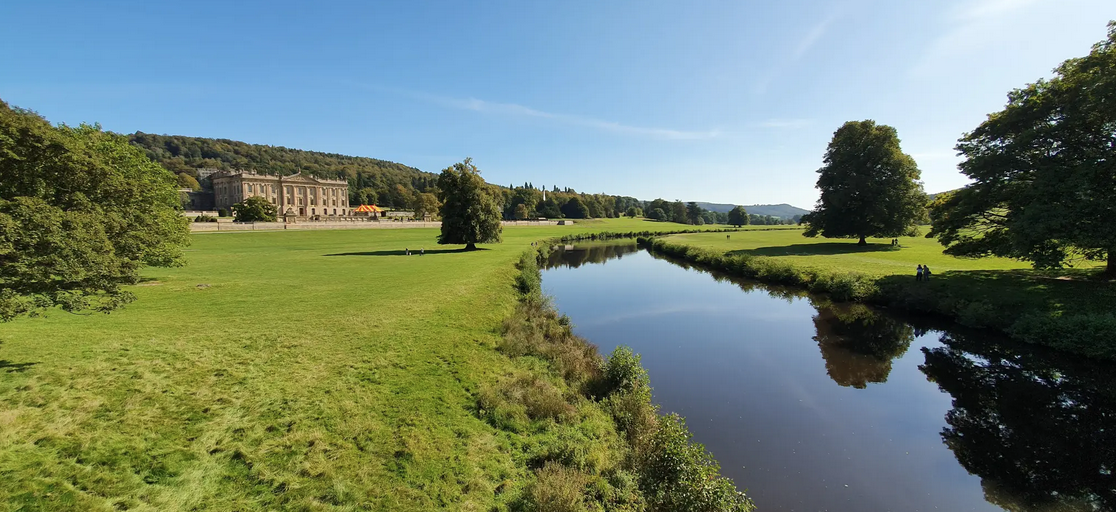
Derwent Valley Heritage Way — Hike a river that changed the world

Walk Britain – 90 car-free adventures in England, Wales and Scotland
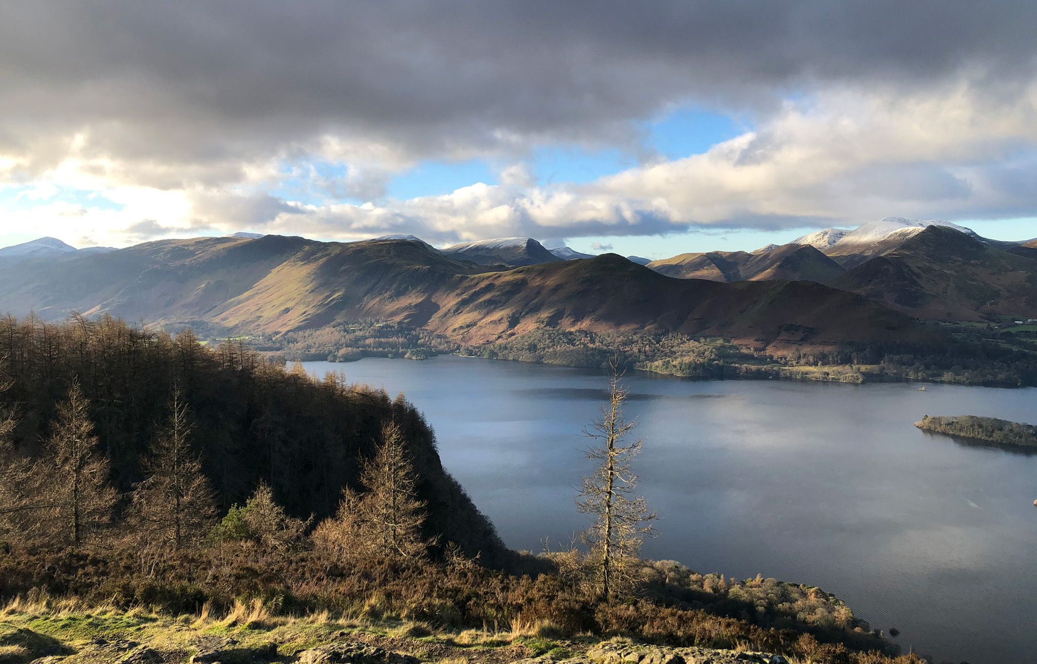
Breathtaking Walks in England’s National Parks
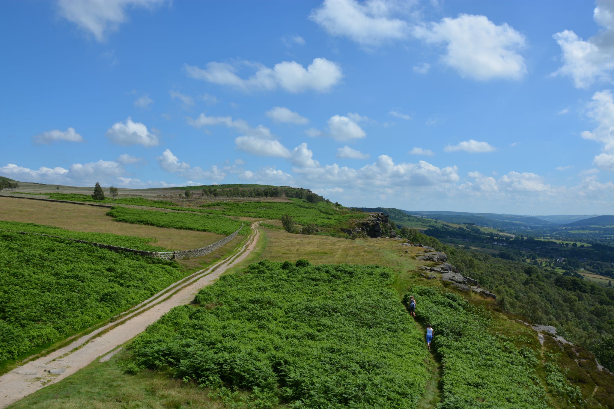
10 Stunning trail runs in the Dark Peak — Peak District National Park
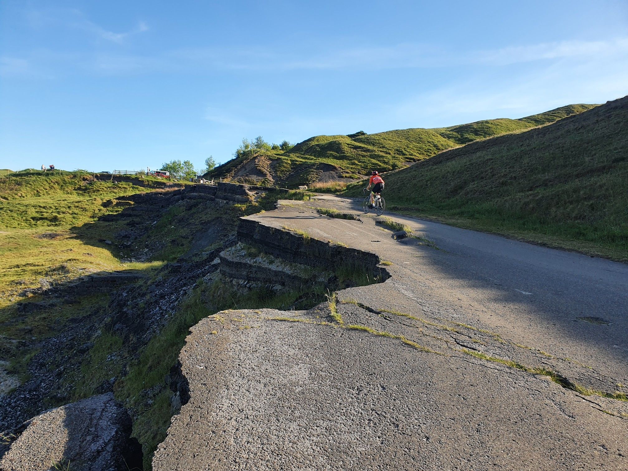
Seven secret climbs from the Hope Valley
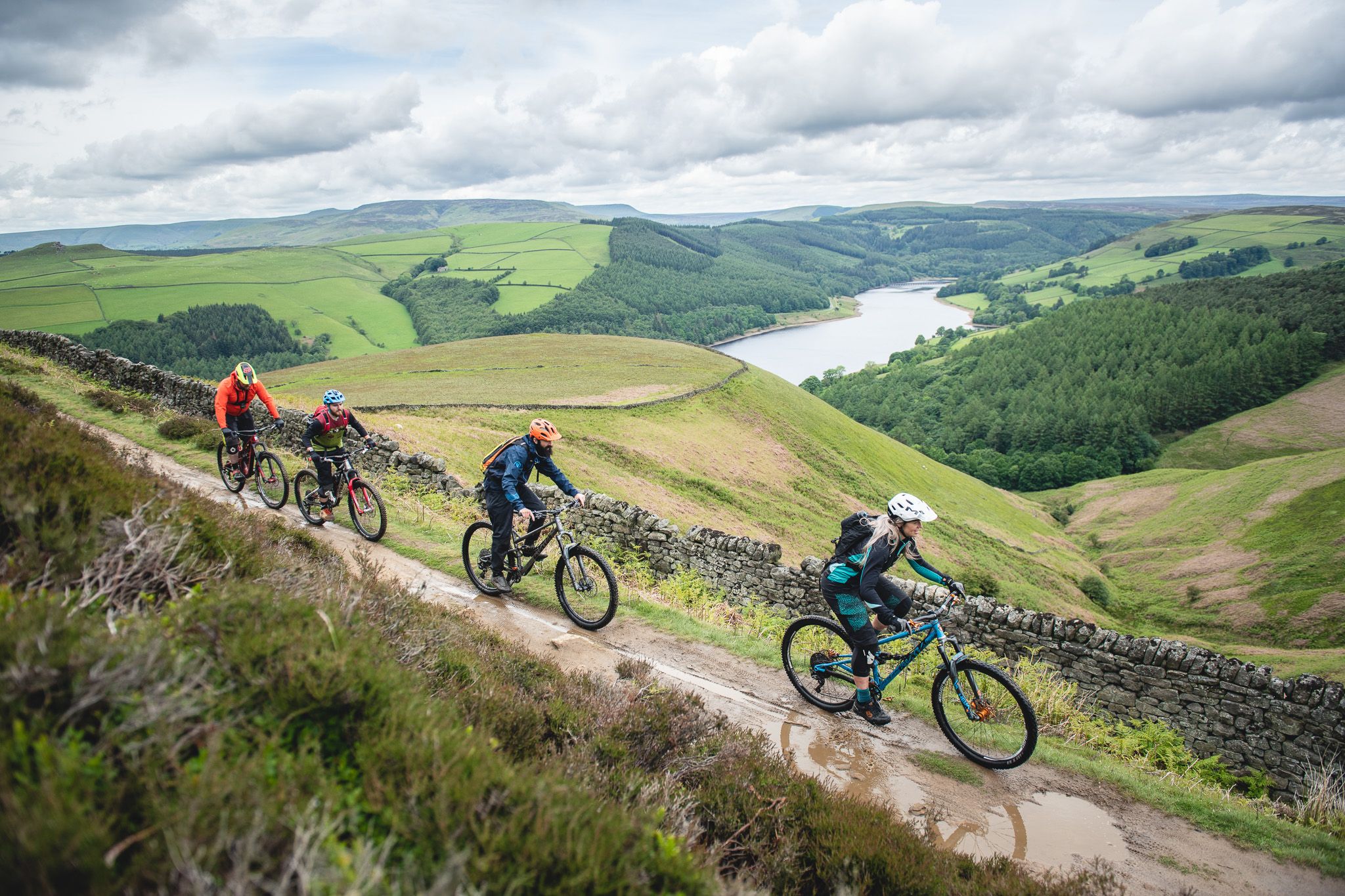
Mountain biking into the cradle of the Trail Center – Outdoor City Sheffield
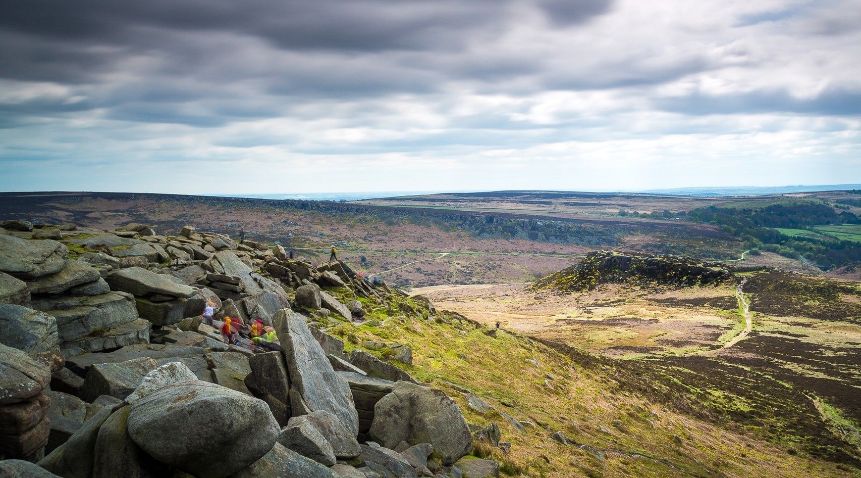
Hike the beauty of the outdoor city — Sheffield
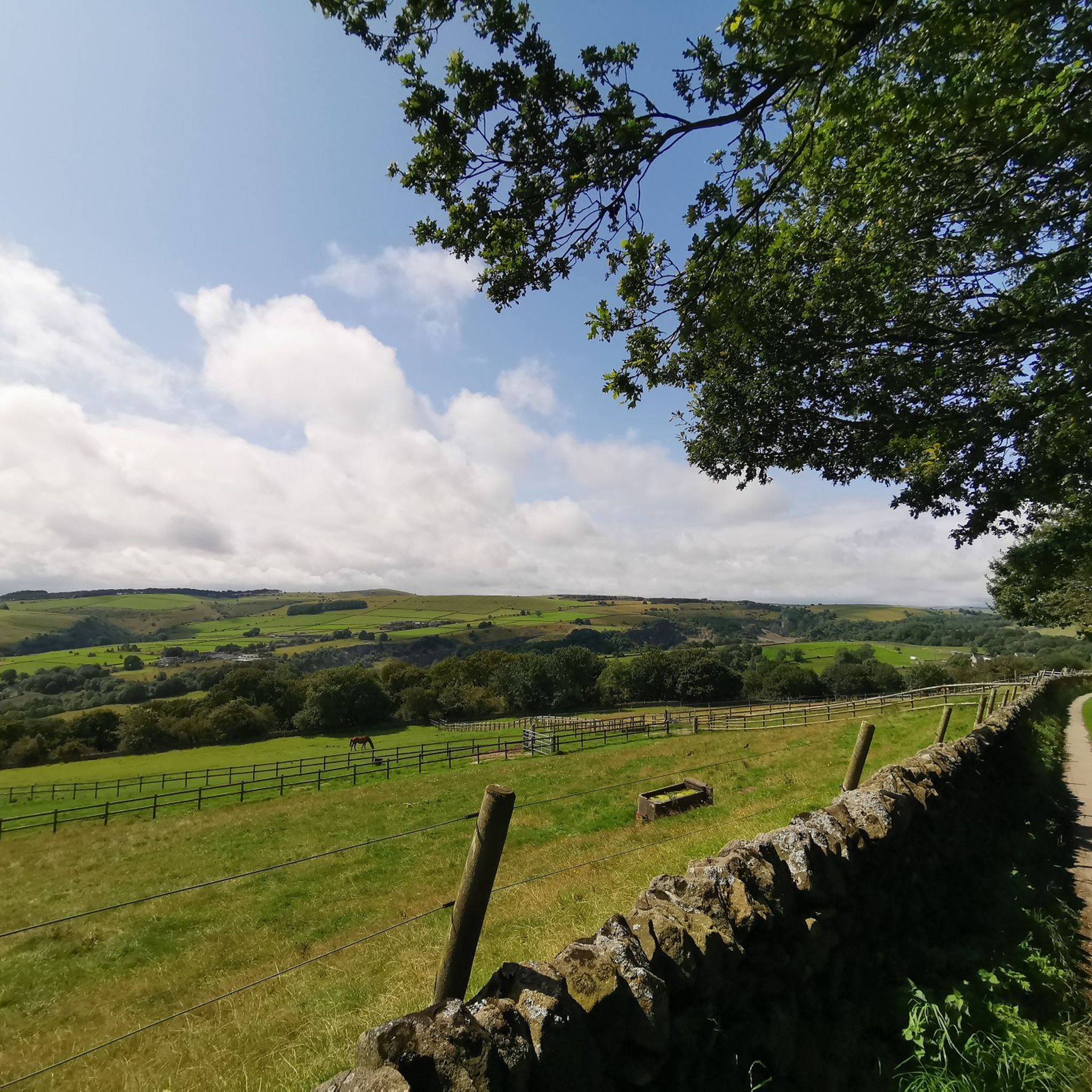
Hiking around Hathersage
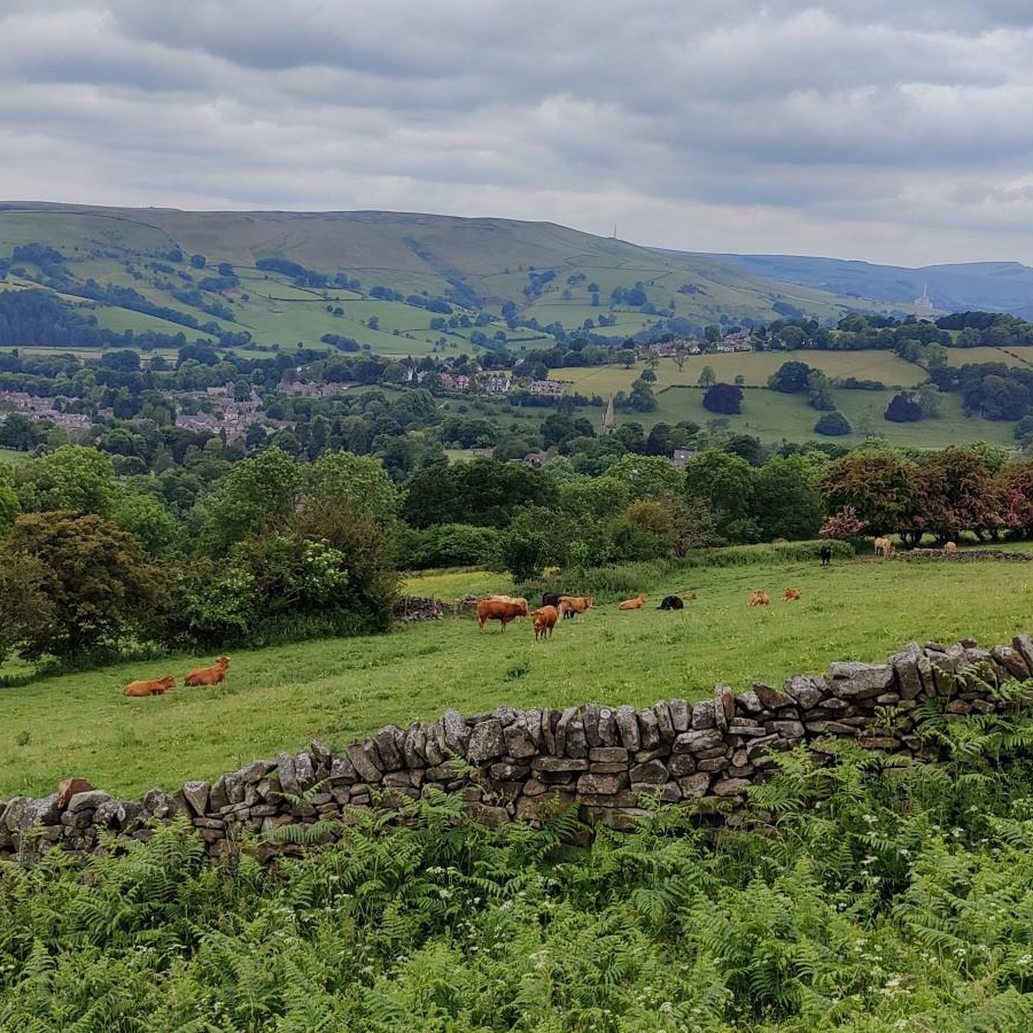
Road Cycling Routes around Hathersage
Running Trails around Hathersage
Other adventures around Hathersage


Tips from the Community


Great place to across the "Parrot Lady" Chloe
0
0

Great sport for both sunrises and Sunsets
0
0

Great spot to walk/run round always uplifting, it can be very muddy and boggy in places after heavy rainfall.
0
0
Offer good views down into the valley in-between Burbage edge and higgor tor
0
0


beautiful ikkle spot for a tea break and a picture.
0
0
Frequently Asked Questions
What types of mountaineering routes can I find around Hathersage?
Hathersage, nestled in the Peak District National Park, offers a variety of mountaineering experiences characterized by dramatic gritstone edges and varied terrain. You'll find routes ranging from moderate ascents to more challenging expeditions across moorland plateaus and scenic valleys. The area is particularly known for its world-class gritstone climbing locations like Stanage Edge and Millstone Edge.
Are there any challenging mountaineering routes for experienced hikers?
Yes, for those seeking a more demanding experience, there is at least one difficult route available. Consider the Trig point at Win Hill summit – Mam Tor summit and trig point loop from Hope, which covers approximately 23.7 km and involves significant elevation gain, typically taking over 7 hours to complete.
What are some popular circular mountaineering routes in the area?
Many of the routes around Hathersage are circular, allowing you to return to your starting point. Popular options include the Curbar Edge – Froggatt Edge loop from Grindleford, offering views across the Derwent Valley, and the Back Tor Trig Point – Derwent Edge loop from Hallfield, which takes you through the distinctive Derwent Edge landscape.
Can I bring my dog on the mountaineering trails around Hathersage?
Many trails in the Peak District National Park are dog-friendly, but it's crucial to keep dogs on a lead, especially near livestock and during nesting seasons (March-July) to protect ground-nesting birds. Always check specific route details and local signage for any restrictions. For example, the Stanage Edge Viewpoint – Stanage Edge loop from Redmires Upper Reservoir is a great option to explore with your canine companion, provided you adhere to the park's guidelines.
Are there any viewpoints or scenic spots along the mountaineering routes?
Absolutely. The region is renowned for its spectacular views. Routes often feature panoramic vistas of the Derwent and Hope Valleys, Mam Tor, and Kinder Scout. Specific highlights include the dramatic Stanage Edge, the distinctive Higger Tor with views over Burbage Valley, and the summit of Win Hill, which offers expansive views of the surrounding reservoirs and valleys, as seen on the Trig point at Win Hill summit – Ladybower Reservoir Overflow loop from Bamford.
What interesting natural features or attractions can I explore near the routes?
Beyond the main trails, the area boasts several intriguing natural features. You can explore various caves, such as the famous Robin Hood's Cave hidden within Stanage Edge, or the impressive Blue John Cavern. There are also picturesque waterfalls like Waterfall Swallet and the scenic Wyming Brook Nature Reserve, which are perfect for a detour.
How long do mountaineering routes around Hathersage typically take?
The duration of mountaineering routes varies depending on their length and difficulty. Moderate routes, such as the 10.8 km Curbar Edge – Froggatt Edge loop from Grindleford, typically take around 3 hours. More challenging routes, like the 23.7 km Trig point at Win Hill summit – Mam Tor summit and trig point loop from Hope, can take over 7 hours.
What do other mountaineers say about the routes in Hathersage?
The mountaineering routes around Hathersage are highly regarded by the komoot community, with an average rating of 5.0 stars. Users frequently praise the diverse landscapes, the dramatic gritstone edges, and the rewarding panoramic views from summits like Win Hill and along Derwent Edge.
Are there any specific permits required for mountaineering or climbing in the Peak District National Park?
Generally, no specific permits are required for hiking or mountaineering on public rights of way or access land within the Peak District National Park. However, for climbing on certain crags, especially those managed by organizations like the BMC (British Mountaineering Council), specific access agreements or restrictions might apply. Always check local signage and relevant climbing guides for the most up-to-date information.
What is the best time of year for mountaineering in Hathersage?
The Peak District offers mountaineering opportunities year-round, but the best time largely depends on your preferences. Spring and autumn provide pleasant temperatures and vibrant scenery, while summer offers longer daylight hours. Winter mountaineering can be rewarding but requires appropriate gear and experience due to potentially challenging weather conditions, including snow and ice on higher ground.
Are there any options for public transport access to trails near Hathersage?
Hathersage is well-connected by public transport, making it an excellent base for car-free exploration. The village has a train station on the Manchester to Sheffield line, and various bus services operate in the area. Many popular trailheads, including those for Stanage Edge and routes towards Bamford and Grindleford, are accessible from the village or via short bus connections, allowing you to reach routes like the Curbar Edge – Froggatt Edge loop from Grindleford without a car.
How many mountaineering routes are available in this guide?
This guide features 5 distinct mountaineering routes around Hathersage, offering a range of experiences from moderate to difficult. These routes showcase the best of the region's gritstone edges, moorland plateaus, and scenic valleys.
Most popular routes around Hathersage
Most popular attractions around Hathersage

Get inspired with the komoot mobile app


Explore more
Browse the best Mountain Hikes & Routes in other regions.
