The best mountain hikes around Grindlow CP CP
5.0
(1)
7
hikers
3
hikes
Mountaineering routes Grindlow CP CP are situated within the Derbyshire Dales, offering diverse and challenging natural features. The region is characterized by numerous gorges, ancient oak-birch woodlands, and prominent features like Kinder Scout. This landscape provides opportunities for navigating unpathed sections and challenging climbs, ideal for those seeking a mountaineering experience. The area serves as a base for accessing a variety of terrains suitable for mountaineering and rock climbing.
Best mountaineering routes around Grindlow CP CP
- The most popular mountaineering…
Last updated: May 14, 2026
5.0
(1)
4
hikers
10.8km
03:05
240m
240m
Moderate mountaineering route. Good fitness required. Easily-accessible paths. Suitable for all skill levels.
3
hikers
Moderate mountaineering route. Good fitness required. Easily-accessible paths. Suitable for all skill levels.

Sign up for free
1
hikers
12.3km
03:34
310m
310m
Moderate mountaineering route. Good fitness required. Easily-accessible paths. Suitable for all skill levels.
Our route recommendations are based on thousands of hikes, rides, and runs completed by other people on komoot.
Start today with a free account
Your next adventure awaits.
Login or Signup
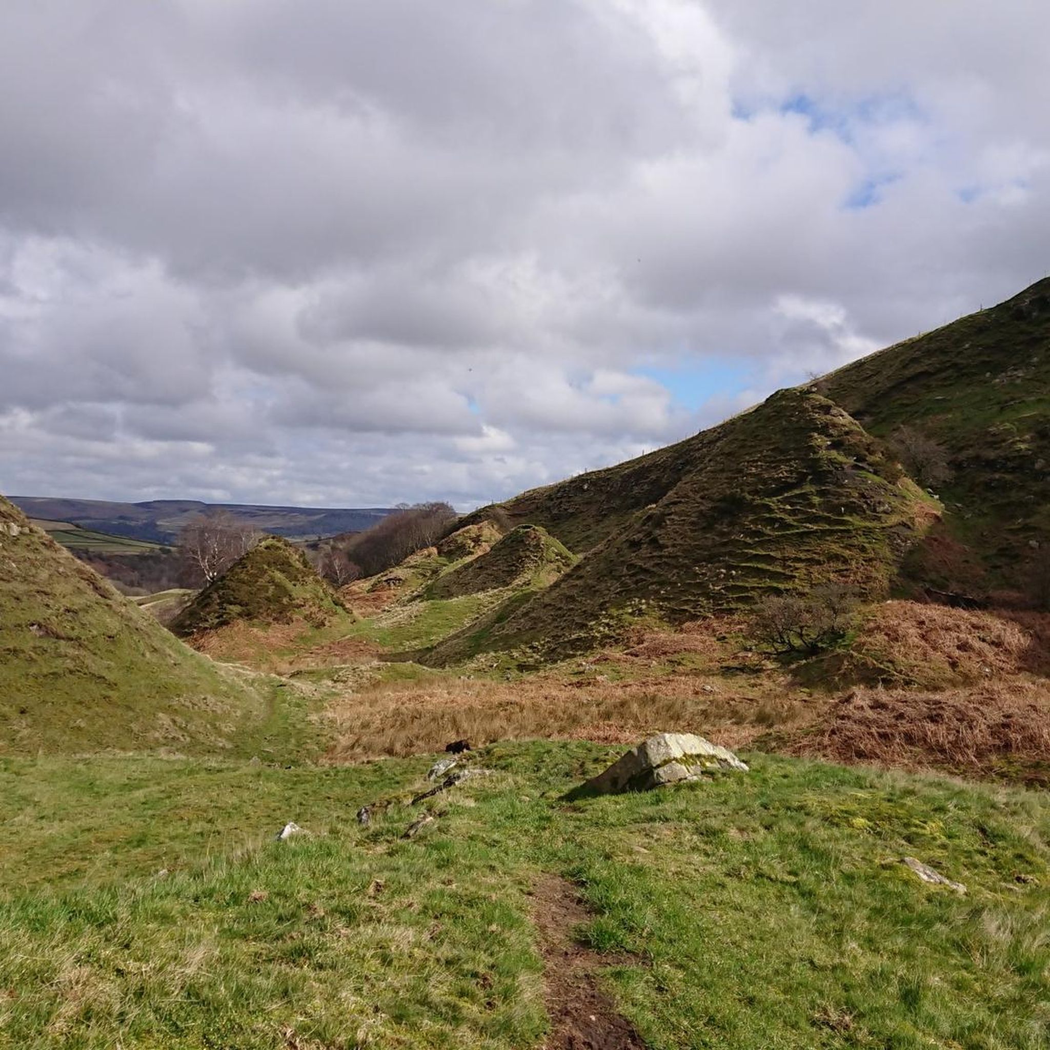
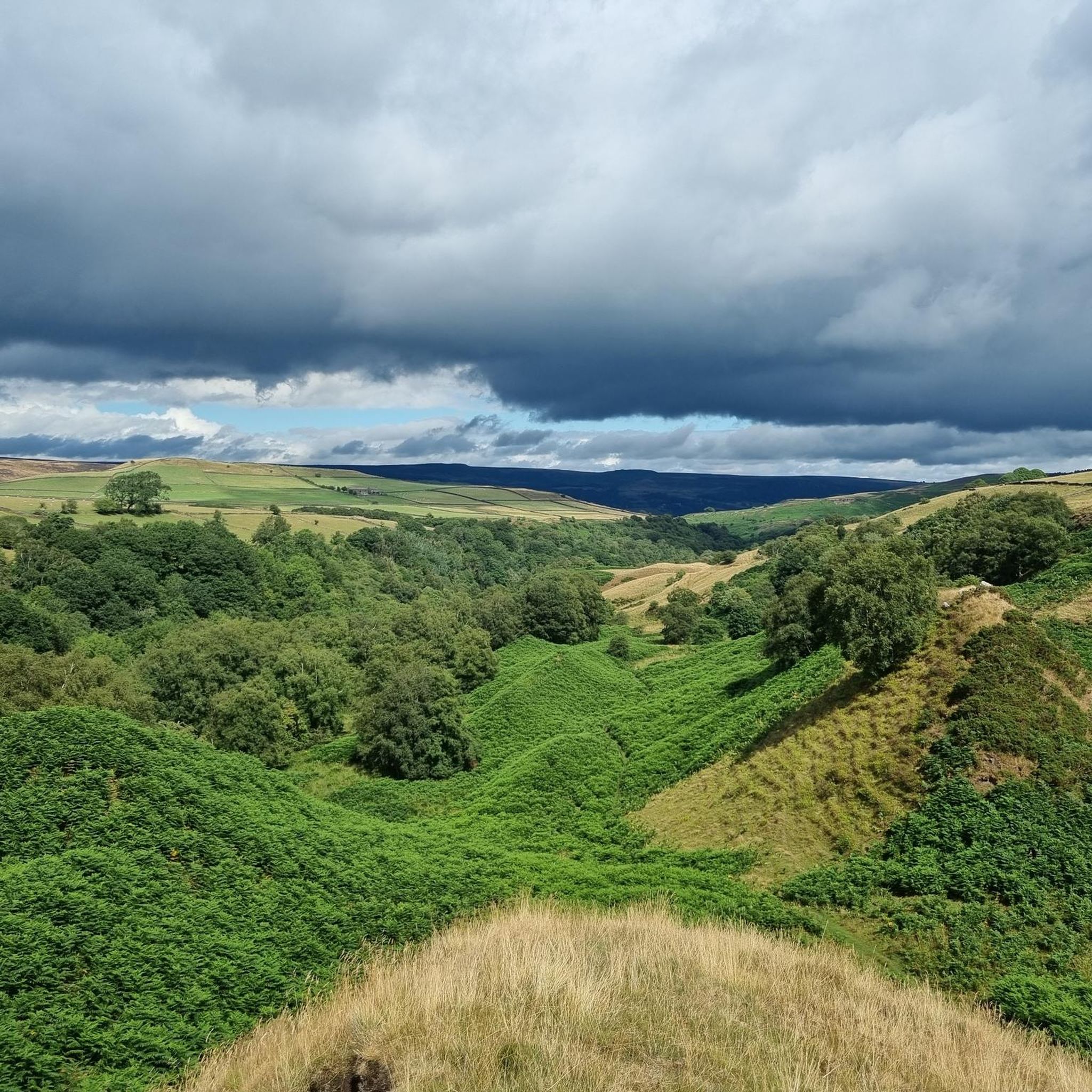
Tips from the Community

Great sport for both sunrises and Sunsets
0
0


Nice area to stop by, have a snack and enjoy the peaceful noise of a running stream. Don't stop if you need to pee haha! :)
0
0

Along the route - some great wildlife - we saw 6 Meadow Fritillary butterflies and one frog!
1
0


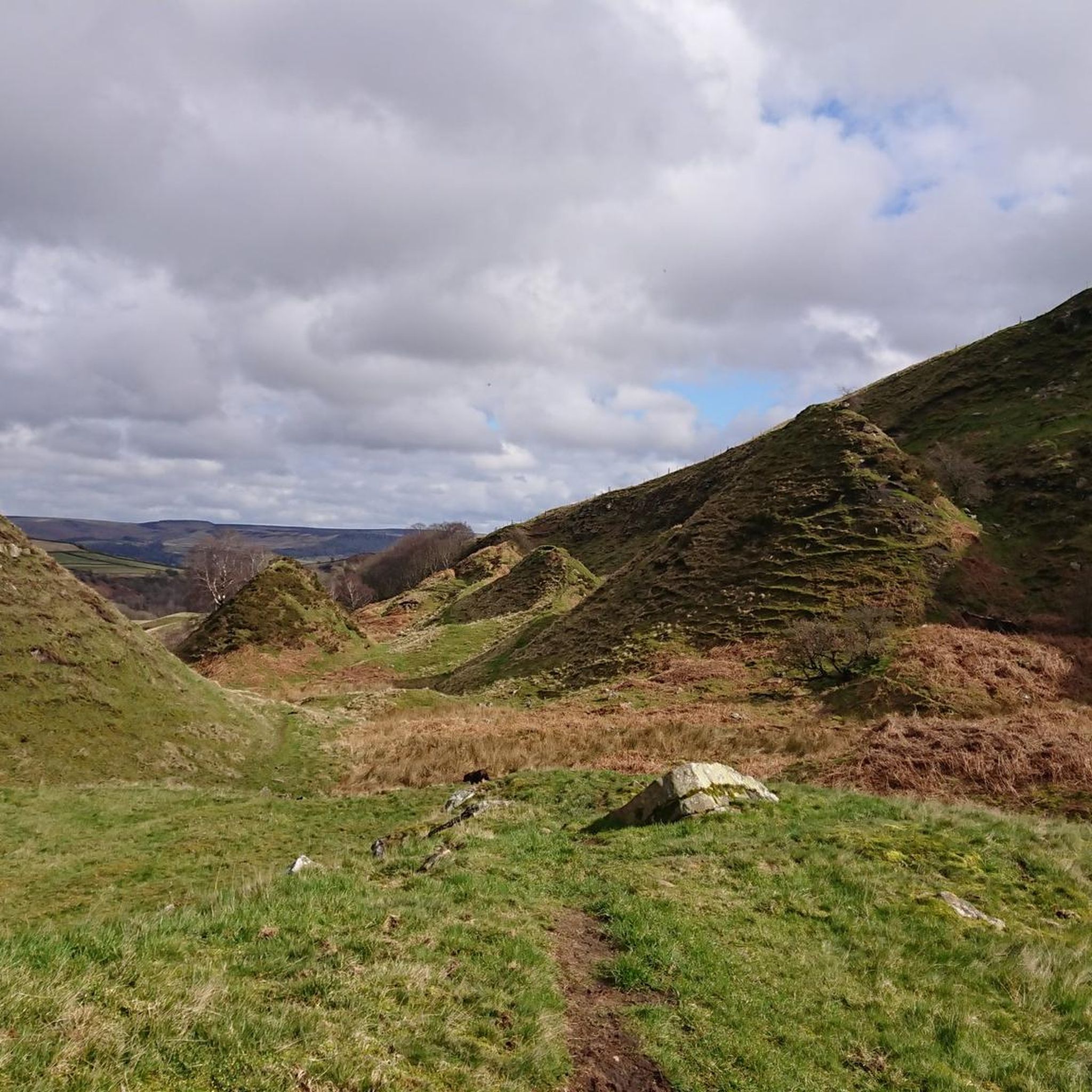
Great views at the top old train lines bridge great views see the photos 📸
1
0

Frequently Asked Questions
How many mountaineering routes are available in Grindlow CP CP?
There are 4 mountaineering routes detailed in this guide for Grindlow CP CP, offering a range of experiences from moderate to difficult. These routes are highly rated by the komoot community.
What kind of terrain can I expect on mountaineering routes around Grindlow CP CP?
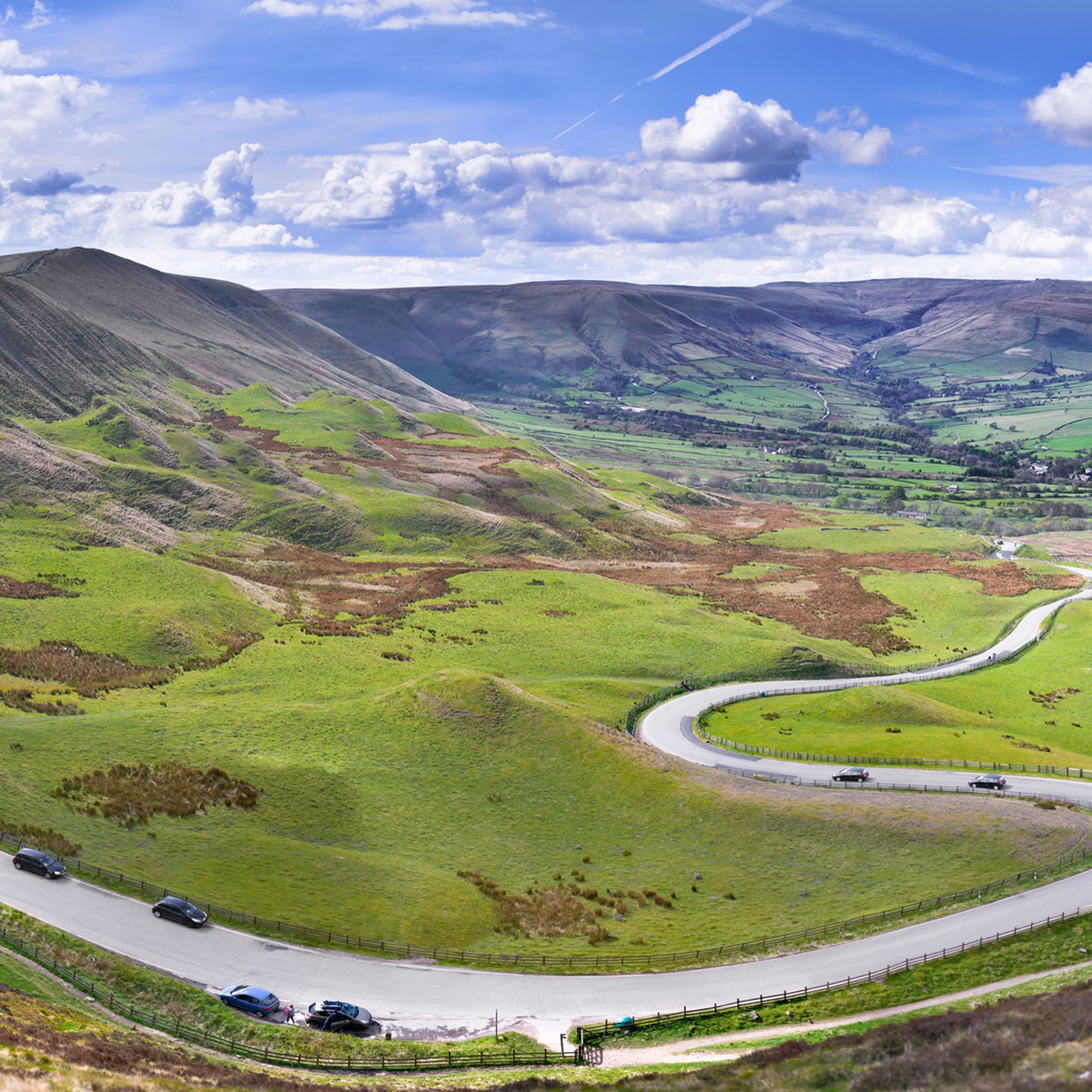
The terrain around Grindlow CP CP is diverse and challenging, featuring numerous gorges, ancient oak-birch woodlands, and prominent features like Kinder Scout. You can expect opportunities for navigating unpathed sections, challenging climbs, and areas popular for rock climbing, such as Burbage Valley.
Are there routes suitable for beginners or those looking for an easier mountaineering experience?
While many routes offer a challenge, there are moderate options available. For instance, the Curbar Edge – Froggatt Edge loop from Grindleford is a moderate 6.7-mile route that provides stunning views without extreme difficulty, making it a good choice for those seeking a less strenuous mountaineering experience.
Are there any particularly challenging mountaineering routes in the area?
Yes, for those seeking a significant challenge, the Trig point at Win Hill summit – Mam Tor summit and trig point loop from Hope is a difficult 14.8-mile trail. This route leads through demanding terrain, including ascents to two prominent summits, and typically takes over 7 hours to complete.
What natural features or landmarks can I see along the mountaineering routes?
Many routes offer access to notable landmarks. You can encounter features like the Mam Tor summit and trig point, Trig point at Win Hill summit, and Higger Tor. The area also features beautiful gorges such as Burbage Brook and Padley Gorge, known for their ancient oak-birch woodlands.
Can I access Kinder Scout from Grindlow CP CP for mountaineering?
Yes, the wider area around Grindlow CP CP provides access to the mighty Kinder Scout. Routes like Grindsbrook Clough Scramble can lead you to Grinslow Knoll and the Kinder Scout Plateau, offering challenging climbs and expansive vistas. You can also traverse the Kinder Scout Plateau and descend via Ringing Roger.
Are there popular circular mountaineering routes in Grindlow CP CP?
Several routes offer a circular experience. A popular choice is the Trig point at Win Hill summit – Ladybower Reservoir Overflow loop from Bamford, a moderate 6.1-mile path that provides ascents to a trig point with expansive views over the reservoir before returning to your starting point.
Are the mountaineering routes around Grindlow CP CP dog-friendly?
Many trails in the Peak District, including those around Grindlow CP CP, are generally dog-friendly. However, it's always recommended to keep dogs on a lead, especially in areas with livestock or ground-nesting birds, and to check specific route details for any restrictions.
What are the parking options for trailheads in Grindlow CP CP?
Parking is typically available near popular trailheads and villages in the Peak District. For routes starting from places like Grindleford, Bamford, or Hope, you will usually find designated car parks, though some may require a fee. It's advisable to arrive early during peak season.
Is public transport available to reach the mountaineering trailheads?
Yes, several villages that serve as starting points for mountaineering routes, such as Grindleford, Bamford, and Hope, are accessible by public transport, including train and bus services. This allows for car-free access to many of the region's trails.
What is the best time of year for mountaineering in Grindlow CP CP?
Spring, summer, and early autumn generally offer the most favorable conditions for mountaineering in Grindlow CP CP, with milder weather and longer daylight hours. However, the challenging terrain can be explored year-round, with winter offering a different, often more demanding, experience for well-equipped mountaineers.
Are there options for refreshments or places to eat after a mountaineering trip?
Yes, the villages surrounding Grindlow CP CP, such as Grindleford, Bamford, and Hope, offer various pubs, cafes, and shops where you can find refreshments and meals after your mountaineering adventures. These establishments often cater to hikers and outdoor enthusiasts.
What do other mountaineers say about the routes in Grindlow CP CP?
The mountaineering routes in Grindlow CP CP are highly rated by the komoot community, with an average score of 5.0 stars. Reviewers often praise the stunning landscapes, the challenging nature of the climbs, and the diverse natural features like gritstone edges and ancient woodlands.
Most popular routes around Grindlow CP CP
Most popular attractions around Grindlow CP CP

Get inspired with the komoot mobile app


Explore more
Browse the best Mountain Hikes & Routes in other regions.
