The best walks and hikes around Beeston St. Andrew
4.6
(494)
5,074
hikers
343
hikes
Hiking around Beeston St. Andrew offers access to a varied landscape characterized by gentle hills, diverse woodlands, and open heathland. The region features a mosaic of habitats including grassland, fen, and freshwater streams, particularly around areas like Beeston Common. Trails often follow former railway lines or wind through plantations, providing generally low elevation changes suitable for various activity levels. The area's proximity to the Bure Valley also introduces riverine environments to the hiking experience.
Best hiking trails around Beeston St.…
Last updated: May 11, 2026
3.0
(1)
18
hikers
8.51km
02:10
30m
30m
Moderate hike. Good fitness required. Easily-accessible paths. Suitable for all skill levels.
5.0
(3)
14
hikers
4.33km
01:07
20m
20m
Easy hike. Great for any fitness level. Easily-accessible paths. Suitable for all skill levels.

Sign up for free
5.0
(1)
8
hikers
5.28km
01:21
20m
20m
Easy hike. Great for any fitness level. Easily-accessible paths. Suitable for all skill levels.
4
hikers
11.8km
03:01
40m
40m
Moderate hike. Good fitness required. Easily-accessible paths. Suitable for all skill levels.
4
hikers
4.57km
01:10
20m
20m
Easy hike. Great for any fitness level. Easily-accessible paths. Suitable for all skill levels.
Get access to more routes and recommendations from other explorers.
Sign up for free
Already have an account?
Our route recommendations are based on thousands of hikes, rides, and runs completed by other people on komoot.
Start today with a free account
Your next adventure awaits.
Login or Signup
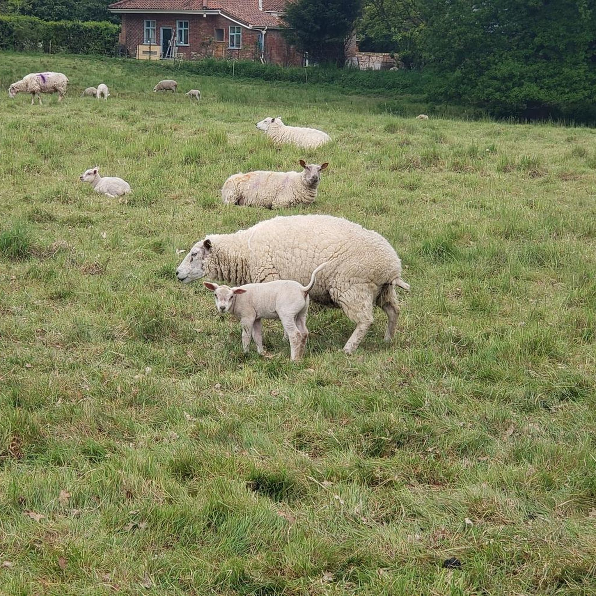

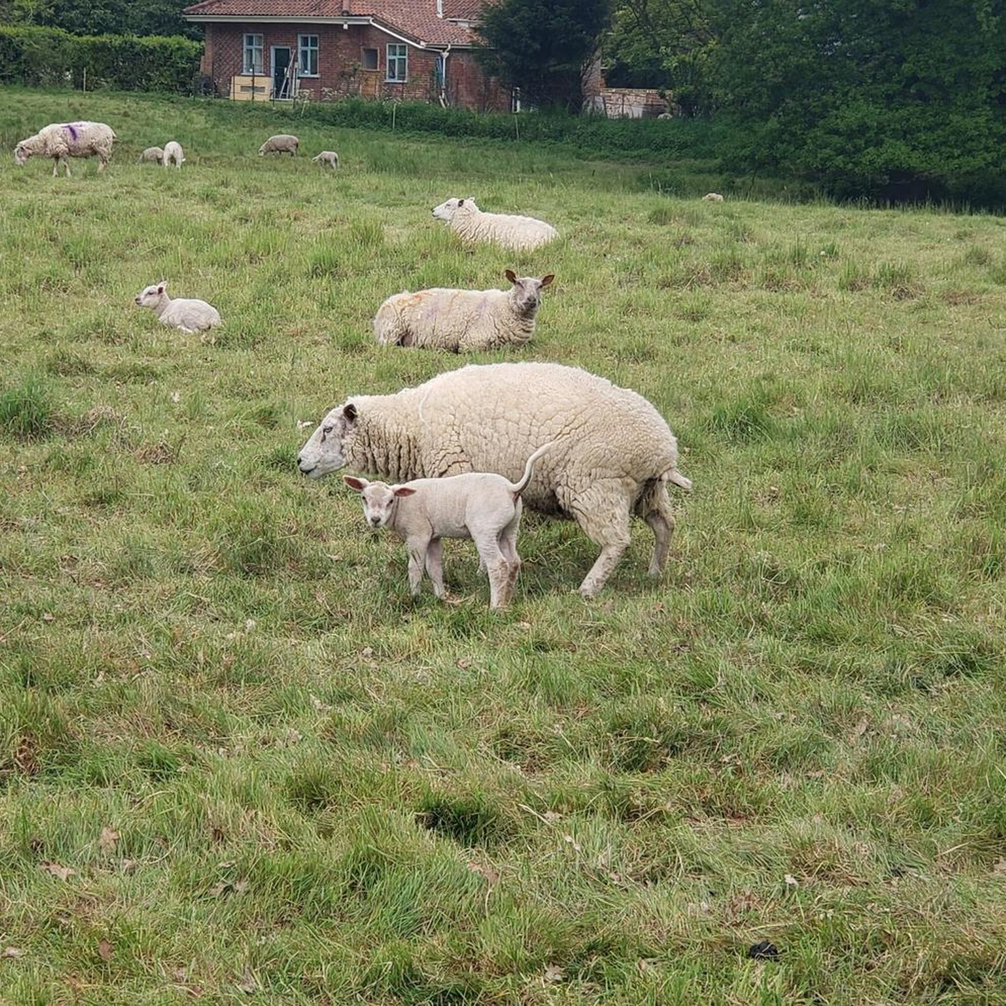


Tips from the Community

Nice wooded area to walk your dogs, but it can get very wet after rain, especially in the winter. I am looking forward to coming back in the spring/autumn to explore in better weather
0
1
Frequently Asked Questions
How many hiking trails are available around Beeston St. Andrew?
There are over 350 hiking routes available around Beeston St. Andrew. These include a wide variety of options, with more than 230 easy trails, 117 moderate routes, and a few more challenging hikes, catering to different experience levels.
What is the general terrain like for hiking near Beeston St. Andrew?
The terrain around Beeston St. Andrew is characterized by gentle hills, diverse woodlands, and open heathland. You'll find a mosaic of habitats including grassland, fen, and freshwater streams, particularly around areas like Beeston Common. Many trails follow former railway lines or wind through plantations, offering generally low elevation changes and well-drained paths suitable for various activity levels. The proximity to the Bure Valley also introduces pleasant riverine environments.
What do other hikers enjoy most about the trails around Beeston St. Andrew?
The hiking routes in Beeston St. Andrew are highly rated by the komoot community, with an average score of 4.6 stars from over 470 reviews. Hikers often praise the tranquil escape offered by the local woodlands and open fields, the quiet rural areas, and the well-maintained paths through established plantations.
Are there any interesting natural features or landmarks to see while hiking near Beeston St. Andrew?
Yes, the region offers several notable natural features and historical landmarks. You can explore the diverse habitats of Beeston Common, known for its rich biodiversity and wildlife. The Marriott's Way, a popular trail following a disused railway line, is also nearby. For those interested in history, Horstead Mill and Norwich Castle are within reach. The Bure Valley Path also offers scenic views along the river.
Are there any family-friendly hiking options in the area?
Many of the trails around Beeston St. Andrew are suitable for families, especially the easy-rated routes with gentle terrain and low elevation changes. For example, the Quakers Lane loop from Spixworth is an easy 2.7-mile path through quiet rural areas and small woodlands, perfect for a family outing. The Harrison's Plantation – Boar Plantation loop from Sprowston is another easy option through established woodlands.
Are dogs allowed on the hiking trails near Beeston St. Andrew?
Generally, dogs are welcome on most public footpaths and trails around Beeston St. Andrew. Areas like Beeston Common and West Runton and Beeston Regis Heath are popular for dog walking. However, it's always best to keep dogs under control, especially near livestock or wildlife, and to check for any specific local restrictions or signage on individual routes. Always carry bags to clean up after your dog.
Are there any circular walks available?
Yes, many of the hiking routes around Beeston St. Andrew are circular, offering convenient starting and ending points. Examples include the Quakers Lane loop from Norwich Airport, which is a moderate 5.3-mile trail, and the easier Mousehold Heath loop from Sprowston, covering 2.8 miles.
What are the options for public transport to access hiking trails?
While Beeston St. Andrew itself is a small parish, the broader area is accessible. For trails like the Bure Valley Path, you can utilize the heritage railway which has stations at Aylsham, Wroxham, Brampton, Buxton, and Coltishall, allowing for a mix of walking and train rides. For other routes, local bus services connect surrounding villages and towns to Norwich, from where you might find connections closer to trailheads. Planning your route in advance with local transport schedules is recommended.
Where can I find parking for hiking trails?
Parking availability varies by trailhead. For popular areas like Beeston Common or West Runton and Beeston Regis Heath, designated car parks are usually available. For routes starting from villages or specific plantations, street parking might be an option, but always be mindful of local residents and signage. When planning your hike on komoot, check the route details for information on starting points and potential parking locations.
Are there any long-distance trails or paths suitable for longer excursions?
Yes, for those interested in longer excursions, the Bure Valley Path is an excellent option. This delightful path follows the Bure Valley for 9 miles (14.5 km) between Aylsham and Wroxham, offering a well-drained route suitable for all weather conditions. You can also combine walking with rides on the heritage railway that runs alongside it. The Marriott's Way is another long-distance trail, extending for 26 miles (42 km) between Norwich and Aylsham, offering a flat, traffic-free route.
What is the best time of year to go hiking in Beeston St. Andrew?
The region offers enjoyable hiking experiences throughout the year. Spring brings blooming wildflowers and active birdlife, particularly in areas like Beeston Common. Summer is ideal for longer days and exploring the heathlands. Autumn showcases beautiful foliage in the woodlands. Even in winter, the well-drained former railway lines and paths through plantations, like the Quakers Lane loop from Sprowston, remain accessible, offering peaceful, crisp walks. Always check local weather conditions before heading out.
Are there pubs or cafes near the hiking trails?
Yes, the broader area around Beeston St. Andrew and nearby villages offers options for refreshments. For instance, The Rising Sun Pub in Coltishall is conveniently located near the Bure Valley Path. Many villages surrounding Beeston St. Andrew will have local pubs or cafes where you can enjoy a break before or after your hike.
Most popular attractions around Beeston St. Andrew

Get inspired with the komoot mobile app


Explore more
Browse the best Hikes in other regions.
