The best MTB trails around Wartenberg-Rohrbach
4.6
(1870)
5,153
riders
354
rides
Mountain biking around Wartenberg-Rohrbach offers diverse landscapes characterized by extensive forests, gentle hills, and open fields. The region features a network of trails that traverse varied terrain, including wooded paths and routes alongside small ponds and streams. Situated at the foot of the Donnersberg, the highest mountain in the Palatinate, the area provides both challenging climbs and scenic routes. Elevation gains are generally moderate, making the area accessible for different skill levels of mountain bikers.
Best mountain bike trails around…
Last updated: August 19, 2026
4.8
(4)
11
riders
28.3km
01:39
180m
180m
Easy mountain bike ride. Great for any fitness level. Suitable for all skill levels.
4.5
(2)
11
riders
32.7km
02:40
410m
410m
Moderate mountain bike ride. Good fitness required. Suitable for all skill levels.

Sign up for free
5.0
(1)
4
riders
38.0km
03:10
790m
790m
Moderate mountain bike ride. Good fitness required. Advanced riding skills necessary.
5.0
(1)
5
riders
16.7km
01:01
150m
150m
Moderate mountain bike ride. Great for any fitness level. Advanced riding skills necessary.
5
riders
Moderate mountain bike ride. Good fitness required. Suitable for all skill levels.
Get access to more routes and recommendations from other explorers.
Sign up for free
Already have an account?
Our route recommendations are based on thousands of hikes, rides, and runs completed by other people on komoot.
Start today with a free account
Your next adventure awaits.
Login or Signup
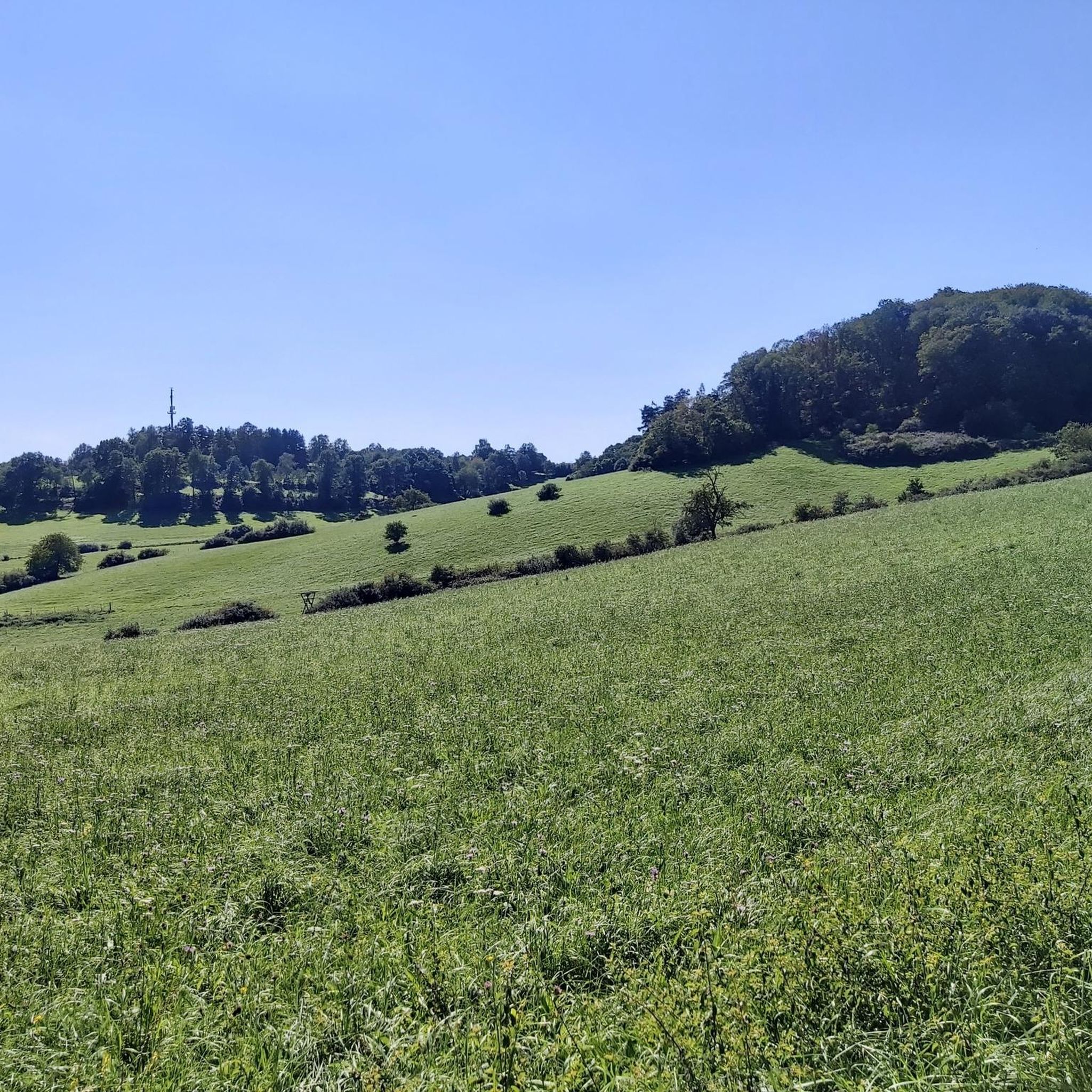
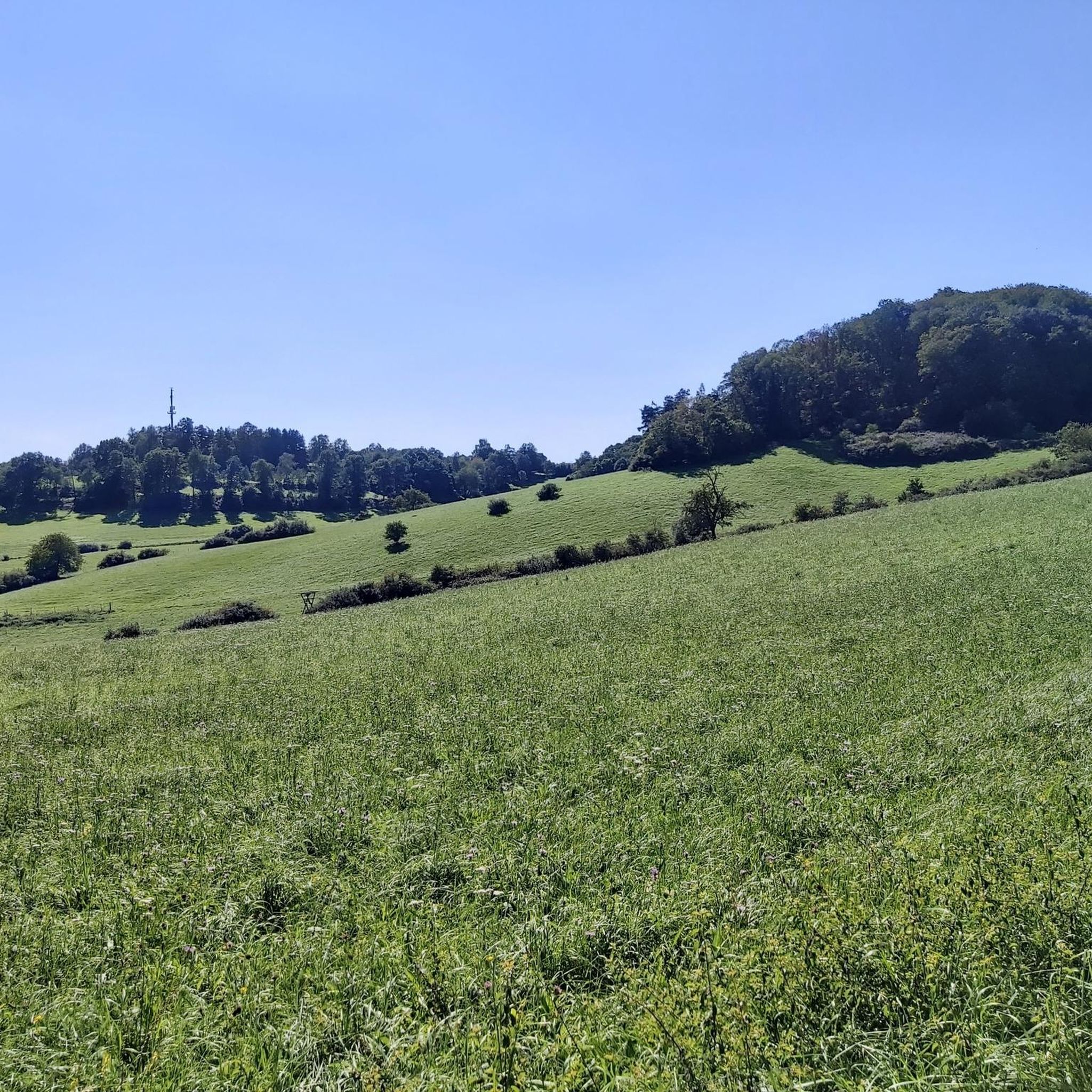
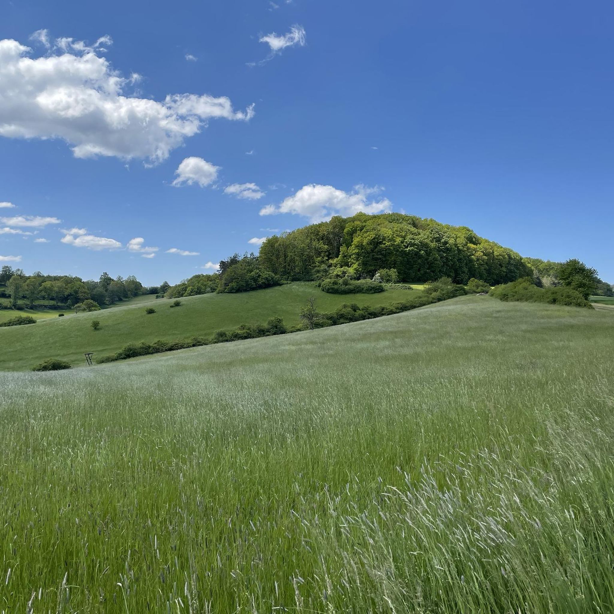
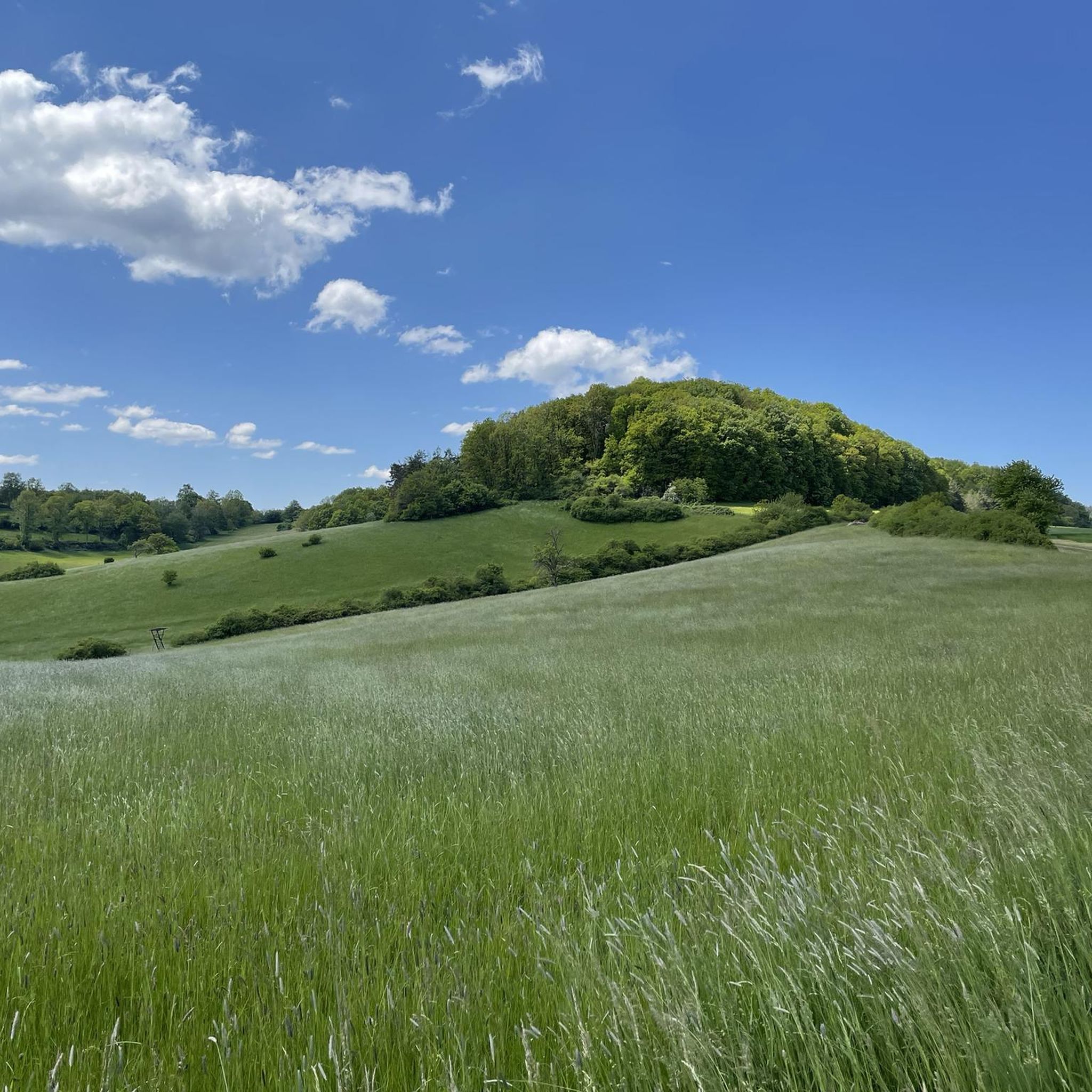

Tips from the Community

Here there are delicious (apparently homemade) cakes and a good coffee. Also smaller dishes like Flammkuchen etc.
0
0

super bike path in the shade
0
0
very good water, some even get it for home :-)
0
0
beautiful place with a dream view over Winnweiler https://www.pfalz.de/de/sehenswuerdigkeit/kreuzkapelle-winnweiler
0
0
nice path by bike
0
0

Beautiful, technically demanding enduro section with decent drops. Unfortunately, also a thick tree trunk in the way, which you have to step over with your bike, otherwise everything is tippi toppi. Be considerate of hikers ;)
0
0
Frequently Asked Questions
How many mountain bike trails are available around Wartenberg-Rohrbach?
There are over 340 mountain bike trails in the Wartenberg-Rohrbach region, catering to various skill levels.
Are there mountain bike trails suitable for beginners or families in Wartenberg-Rohrbach?
Yes, Wartenberg-Rohrbach offers a good selection of easy trails, with over 120 routes suitable for beginners and families. An example is the Tunnel Under the B48 loop from Lohnsfeld, which is 15.2 miles (24.4 km) long and navigates through a mix of open and wooded areas.
What kind of terrain can I expect on mountain bike trails in Wartenberg-Rohrbach?
The region features a diverse landscape with extensive forests, gentle hills, and open fields. Trails often traverse varied terrain, including wooded paths and routes alongside small ponds and streams. Elevation gains are generally moderate.
Are there any challenging mountain bike routes for experienced riders?
While the region is known for its moderate terrain, there are 17 difficult mountain bike trails for those seeking a greater challenge. The majority of routes, around 200, are moderate in difficulty, offering a good balance for experienced riders.
Are there circular mountain bike routes available?
Yes, many of the mountain bike trails in Wartenberg-Rohrbach are circular routes, allowing you to start and end at the same point. Examples include the Keiperweg – Kupferberg Hut loop from Lohnsfeld and the Schwarzweiher – Schwarzbachweiher loop from Münchweiler an der Alsenz.
What is the typical length and duration of mountain bike trails in this area?
Trail lengths vary, but many popular routes are between 14 to 18 miles (23 to 29 km) long, typically taking 1.5 to 2 hours to complete. For instance, the Café Loch 19 – Frontalhütte loop from Mehlingen is 20.3 miles (32.7 km) and takes about 2 hours 11 minutes.
What do other mountain bikers say about the trails in Wartenberg-Rohrbach?
The trails are highly rated by the komoot community, with an average score of 4.6 stars from over 1600 reviews. More than 5000 mountain bikers have explored the varied terrain, often praising the well-maintained paths and scenic forest sections.
Are there any mountain bike trails that pass by cafes or places to eat?
Yes, some routes are known to have cafes or huts nearby. For example, the Café Loch 19 – Frontalhütte loop from Mehlingen is named after a cafe, suggesting a convenient stop along the way.
What are some scenic highlights or landmarks I can see while mountain biking?
The region offers several scenic points and historical landmarks. You can encounter natural monuments like Mount Albert Stone Cairn or explore historical sites such as the Ruins of Falkenstein Castle. Many trails also lead through dense woodlands and past small lakes like Schwarzweiher.
What is the best time of year for mountain biking in Wartenberg-Rohrbach?
The moderate elevation and diverse landscape make Wartenberg-Rohrbach suitable for mountain biking through much of the year. Spring and autumn offer pleasant temperatures and vibrant scenery, while summer provides longer daylight hours. Winter riding is possible, but conditions may vary, especially on unpaved forest paths.
Are there any trails that go past lakes or ponds?
Yes, several routes incorporate water features. The Schwarzweiher – Schwarzbachweiher loop from Münchweiler an der Alsenz, for instance, leads through forested areas and past small lakes. Another option is the Third Sippersfeld Pond – Retzbergweiher loop from Lohnsfeld.
Most popular routes around Wartenberg-Rohrbach
Most popular attractions around Wartenberg-Rohrbach

Get inspired with the komoot mobile app


Explore more
Browse the best MTB trails in other regions.
