The best road cycling routes around Brantingham
4.5
(121)
4,369
riders
183
rides
Road cycling routes around Brantingham traverse a landscape characterized by rolling hills, open countryside, and picturesque village settings. The area features a mix of gentle gradients around local ponds and more challenging climbs towards summits and through dales. Road cyclists can expect varied terrain suitable for different skill levels, from flatter loops to routes with significant elevation gain.
Best road cycling routes around Brantingham
- The most popular road cycling route is Tour de Yorkshire Spot – Brantingham Pond loop from…
Last updated: May 24, 2026
5.0
(5)
97
riders
Moderate road ride. Good fitness required. Mostly well-paved surfaces and easy to ride.
5.0
(1)
100
riders
47.2km
02:21
440m
440m
Moderate road ride. Good fitness required. Mostly well-paved surfaces and easy to ride.

Sign up for free
5.0
(2)
90
riders
83.1km
03:58
710m
710m
Moderate road ride. Good fitness required. Mostly well-paved surfaces and easy to ride.
4.1
(13)
80
riders
21.8km
00:56
70m
70m
Easy road ride. Great for any fitness level. Mostly well-paved surfaces and easy to ride.
4.5
(2)
69
riders
56.8km
02:39
330m
330m
Moderate road ride. Good fitness required. Mostly well-paved surfaces and easy to ride.
Get access to more routes and recommendations from other explorers.
Sign up for free
Already have an account?
Our route recommendations are based on thousands of hikes, rides, and runs completed by other people on komoot.
Start today with a free account
Your next adventure awaits.
Login or Signup
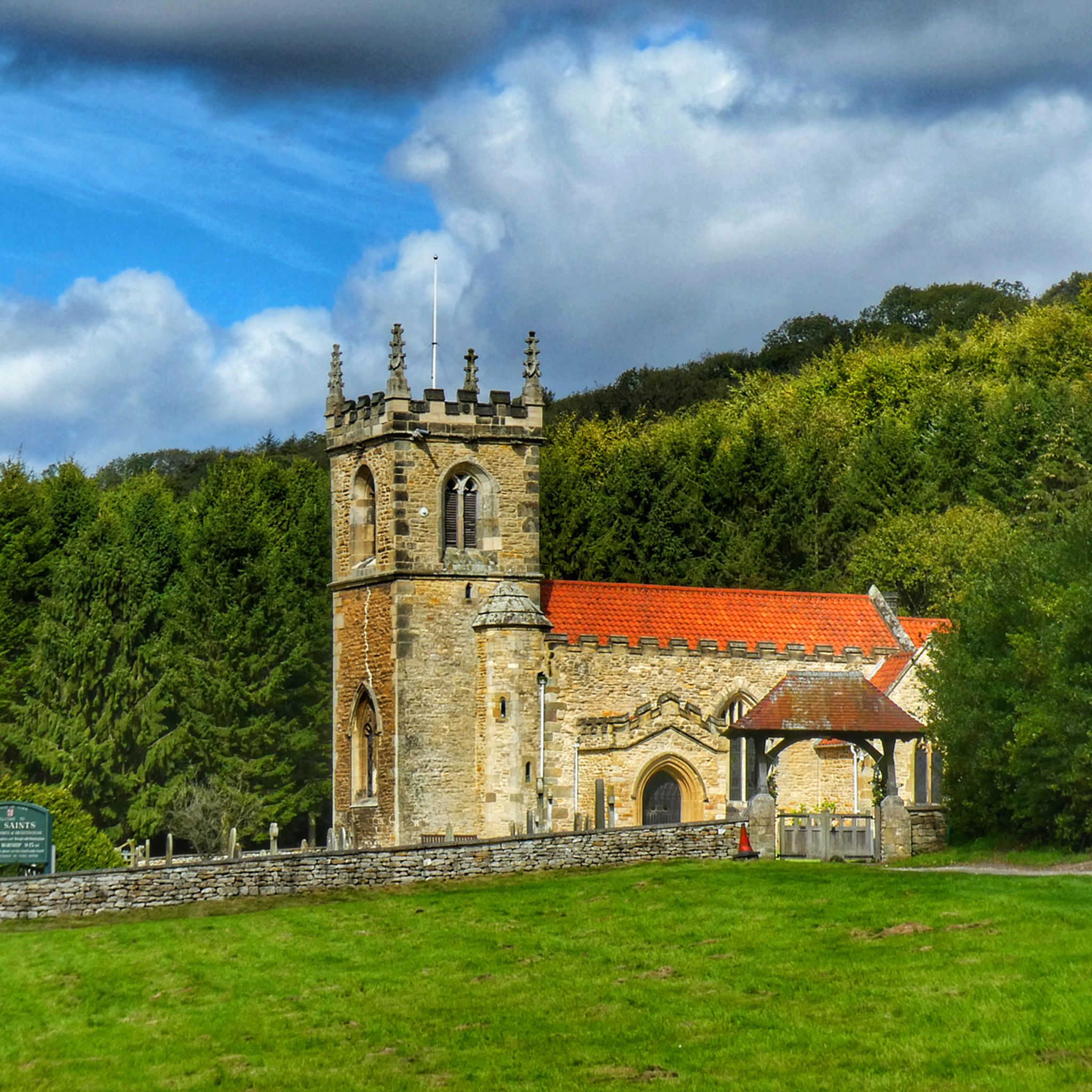
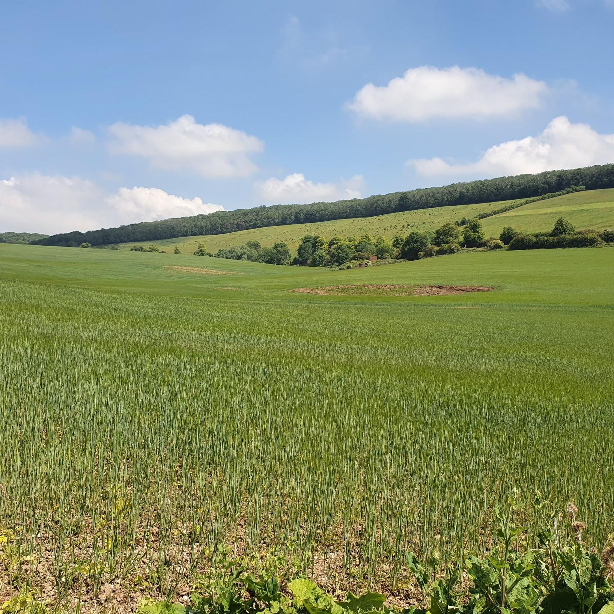
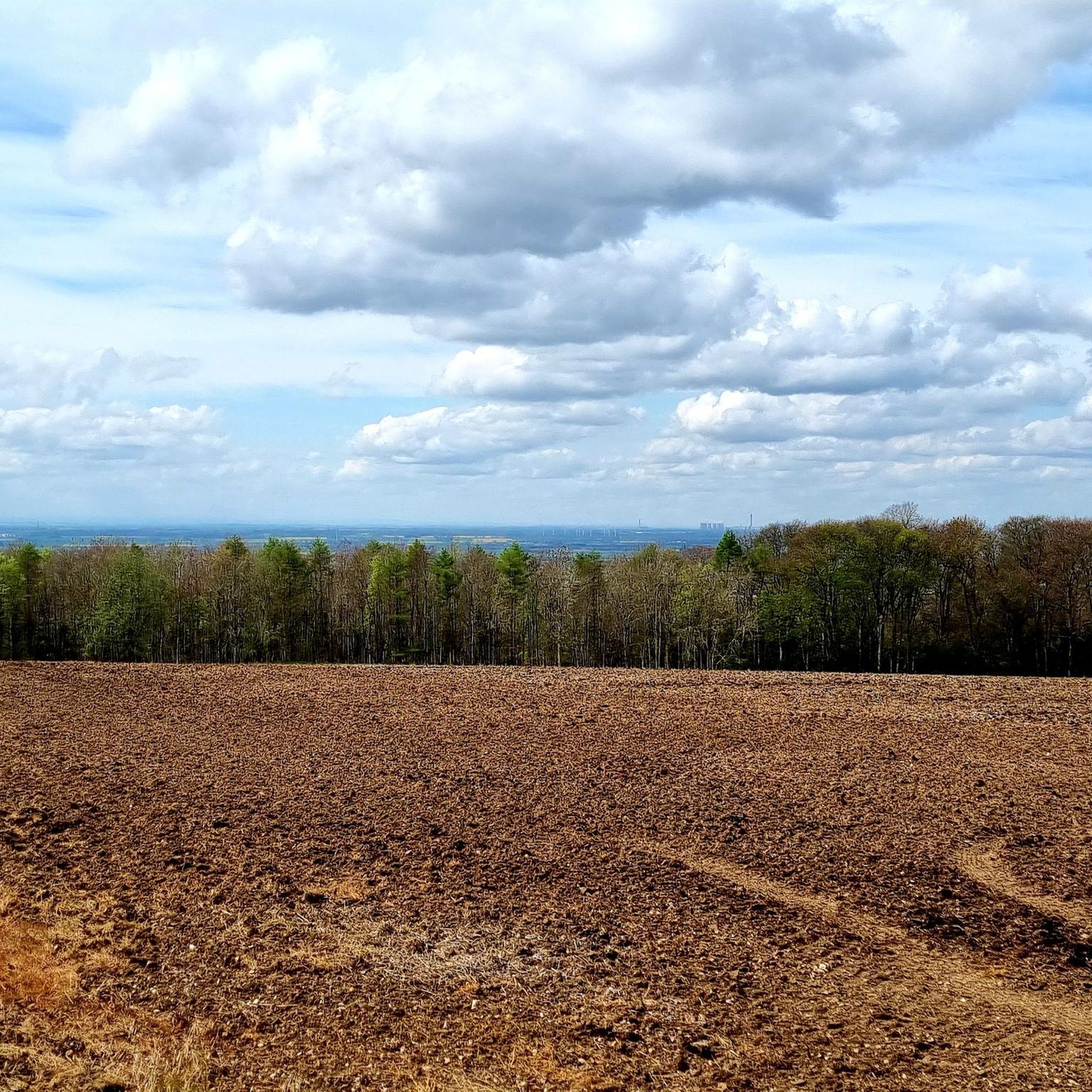
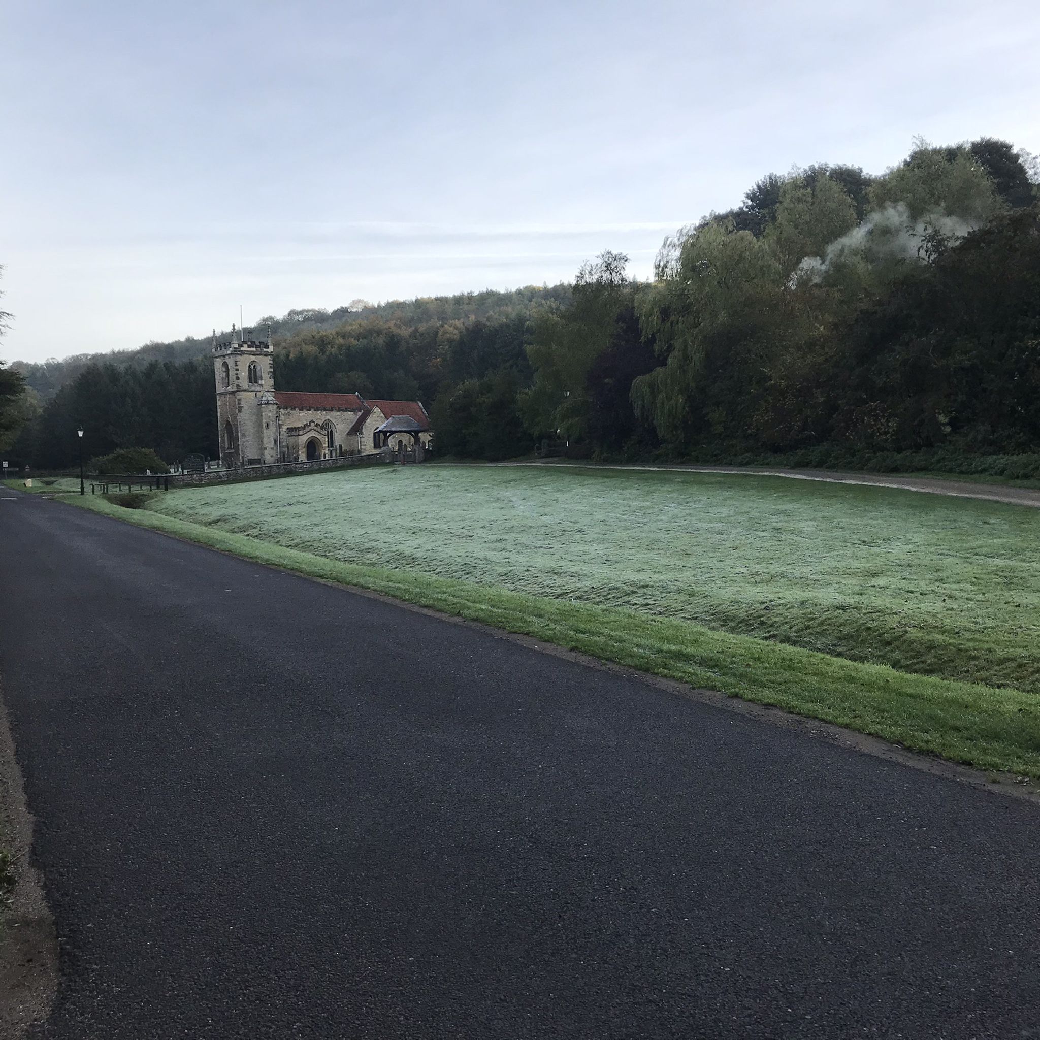
Tips from the Community

Explore the history of the town's giant and search for the little mice!
0
0

Really picturesque village, grab a coffee at South Cave serviced
0
0


Faxfleet is a little village sited on fenland where the rivers Ouse and Trent meet to form the Humber. From the path on the bank, there are sweeping views to the Wolds, and across to RSPB Blacktoft Sands nature reserve, Alkborough Flats and the largest sand bank in the Humber, Whitton Sands.
2
0
To be clear - Blacktoft is on the southern bank of the Humber, but the Trans Pennine Trail running along the north bank provides easy hiking/running with great views across to Blacktoft.
2
0

Archetypal English village with its large village green surrounded by pretty stone houses and two pubs. The open beck runs in front of the houses in Eastgate, each with their own private bridge. The banks of the stream are planted with flowers. A large flat circular stone on the green known as the whipping stone is probably the base of the old market cross but rumour has it that a man was whipped to death here in 1624. https://www.newbaldparishcouncil.gov.uk/about-newbald/
1
0

Frequently Asked Questions
How many road cycling routes are available around Brantingham?
There are nearly 200 road cycling routes around Brantingham documented on komoot, offering a wide variety of options for different skill levels and preferences.
Are there easy road cycling routes suitable for beginners or families?
Yes, Brantingham offers a good selection of easy routes. For instance, the Brantingham Pond loop from Brantingham is an easy 21.7 km ride with minimal elevation gain, perfect for a relaxed outing.
What are the options for more advanced road cyclists seeking a challenge?
Advanced cyclists can find routes with significant climbs and longer distances. While the guide highlights moderate routes, the region's rolling hills and dales provide ample opportunity for challenging rides. Look for routes that venture into the Wolds for more demanding ascents.
What kind of terrain can I expect on road cycling routes in Brantingham?
The terrain around Brantingham is characterized by rolling hills, open countryside, and picturesque village roads. You'll encounter a mix of gentle gradients, especially around local ponds, and more challenging climbs towards summits and through dales, offering varied experiences.
Are there any scenic viewpoints or natural attractions along the routes?
Many routes offer scenic views of the surrounding countryside. You might pass by natural attractions such as Welton Dale or the tranquil Brantingham Village Pond. The area's open landscapes provide numerous picturesque spots.
Can I find circular road cycling routes in Brantingham?
Yes, most of the road cycling routes in Brantingham are designed as loops, allowing you to start and finish at the same point. Examples include the Brantingham Pond – North Newbald Village Green loop from Brough.
What historical or cultural landmarks can I see while cycling?
The region is dotted with historical sites and charming villages. You could encounter landmarks like St Helen’s Church, Welton, or All Saints' Church, Brantingham, offering glimpses into the area's heritage.
What do other road cyclists say about the routes in Brantingham?
The road cycling routes in Brantingham are highly regarded by the komoot community, with an average rating of 4.5 stars from over 100 reviews. Cyclists often praise the varied terrain, scenic beauty, and the charm of the villages along the way.
Are there routes that connect Brantingham to nearby towns like Hull?
While the guide focuses on routes around Brantingham, many routes start from nearby Brough, which is well-connected. You can plan longer rides that incorporate sections leading to or from larger towns like Hull, using komoot to connect existing routes.
What is the best time of year for road cycling in Brantingham?
Spring and summer generally offer the most pleasant conditions for road cycling in Brantingham, with milder weather and longer daylight hours. Autumn can also be beautiful with changing foliage, though cooler temperatures and potential for rain should be considered.
Are there any routes that pass through villages with cafes or amenities?
Many routes will take you through charming villages such as North Newbald or Market Weighton, where you can often find local cafes, pubs, or shops for refreshments and breaks. The Millington Dale Road – Market Weighton Town Centre loop from Brough, for example, leads directly into a town centre.
How long are the typical road cycling routes in this area?
Route lengths vary significantly, from shorter loops of around 20 km to longer rides exceeding 80 km. You can find routes that take less than an hour to complete, up to those requiring several hours, depending on your fitness and desired distance.
Most popular routes around Brantingham
Most popular attractions around Brantingham

Get inspired with the komoot mobile app


Explore more
Browse the best Road cycling routes in other regions.
