The best walks and hikes around Ellerker
4.5
(1165)
7,587
hikers
294
hikes
Ellerker hiking trails offer a network of paths through the East Riding of Yorkshire, characterized by gentle dales, mature woodlands, and open countryside. The region features varied terrain, including forest paths and village routes, providing diverse options for outdoor exploration. These trails often connect picturesque villages and offer views across the local landscape.
Best hiking trails around Ellerker
- The most popular hiking route is View of Weedley Dale – Forest Path in East Dale loop from South Cave, a 7.4 miles (11.9 km) trail that takes 3 hours 19 minutes to complete, featuring forest paths and dale views.
- Another top favourite among local hikers is Woo Dale Viewpoint – Brantingham Sheep Wash loop from Brantingham, an easy 2.4 miles (3.9 km) path, offering views from Woo Dale and passing through Brantingham village.
- Local hikers also love the Welton Dale – St Helen’s Church, Welton loop from Brantingham, an 8.3 miles (13.3 km) trail leading through Welton Dale and past St Helen's Church, often completed in about 3 hours 39 minutes.
- Hiking around Ellerker is defined by gentle dales, mature woodlands, and village paths. The network offers options for different ability levels, from easy strolls to moderate hikes.
- The routes in Ellerker are highly rated by the komoot community with an average score of 4.5 stars from over 1,000 reviews. More than 7,000 hikers have used komoot to explore Ellerker's varied terrain.
Last updated: October 12, 2026
4.7
(32)
133
hikers
11.0km
03:06
240m
240m
Moderate hike. Good fitness required. Easily-accessible paths. Suitable for all skill levels.
4.3
(26)
100
hikers
3.96km
01:04
60m
60m
Easy hike. Great for any fitness level. Easily-accessible paths. Suitable for all skill levels.

4.4
(22)
83
hikers
Easy hike. Great for any fitness level. Easily-accessible paths. Suitable for all skill levels.
4.7
(20)
118
hikers
13.3km
03:39
210m
210m
Moderate hike. Good fitness required. Easily-accessible paths. Suitable for all skill levels.
4.7
(14)
71
hikers
9.47km
02:41
200m
200m
Moderate hike. Good fitness required. Easily-accessible paths. Suitable for all skill levels.
Get access to more routes and recommendations from other explorers.
Already have an account?
Our route recommendations are based on thousands of hikes, rides, and runs completed by other people on komoot.
Start today with a free account
Your next adventure awaits.
Tips from the Community


Really picturesque village, grab a coffee at South Cave serviced
0
0

One of a number of boundary stones along the edge of the Yorkshire Wolds Way in East Dale. This one reads "South end of Hunsley fence". They appear to mark the edge of the Drewton Estate which occupies land to the west.
1
0
Lots of signs around here demarcating private land, however, this is on the intersection of a bridleway (Hunsley High Circuit) running east-west and a public footpath running north from this weir up Drewton Wold.
1
0
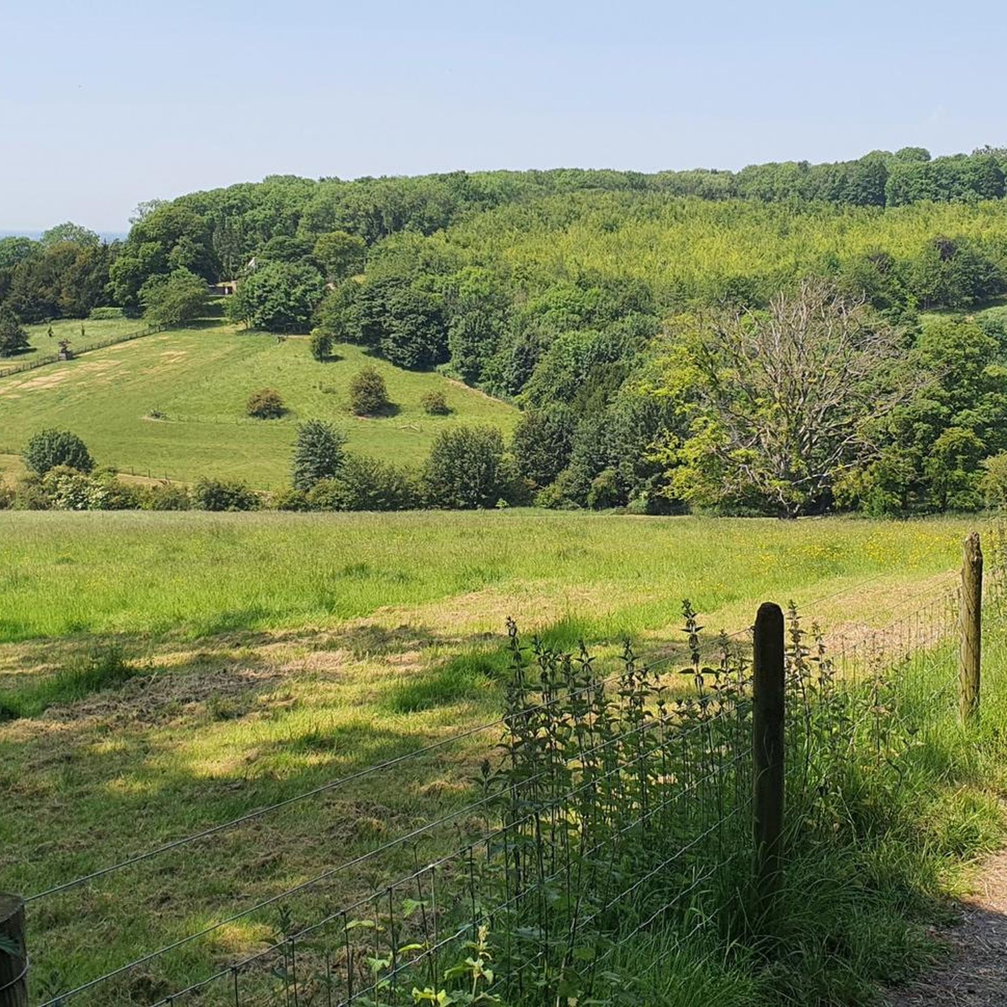
Fantastic and good quality track along Weedley Dale, running up through East Dale and Hunsley Dale (west to east).
1
0
Part of the High Hunsley Circuit, there are a couple of paths running through East Dale and Hunsley Dale and this one is a very pleasant path through the woods, even in the back end of winter, presumably even nicer in summer.
2
0
This is clearly a popular route. I never see anyone at the godforsaken hours that I go out hiking and trailrunning (generally start before sunrise in winter), yet I did see plenty of dogwalkers, hikers and runners out and about in Welton Dale and surrounding bridleways and footpaths. As a result a lot of the tracks are very muddy. Not boggy, you won't lose a shoe, but they can be very slippery in winter.
1
0
Frequently Asked Questions
How many hiking trails are available around Ellerker?
Ellerker and its surrounding area offer a wide selection of hiking opportunities, with over 300 routes recorded on komoot. These trails traverse gentle dales, mature woodlands, and open countryside, providing diverse options for exploration.
Are there easy hiking trails suitable for beginners in Ellerker?
Yes, Ellerker has many easy trails perfect for beginners. Out of over 300 routes, 137 are classified as easy. A great option is the Woo Dale Viewpoint – Brantingham Sheep Wash loop from Brantingham, an easy 3.9 km path offering pleasant views and passing through Brantingham village.
What are the typical lengths and durations of hikes in the Ellerker area?
Hikes around Ellerker vary significantly in length and duration. You can find short, easy strolls like the 3.9 km (1 hour) Woo Dale Viewpoint – Brantingham Sheep Wash loop from Brantingham, or longer, more challenging routes such as the 23.6 km (over 6 hours) Forest Path in East Dale – View of Weedley Dale loop from South Cave. The majority of trails fall into the moderate category, offering a good balance of distance and time.
Are there family-friendly hiking options near Ellerker?
Many trails in Ellerker are suitable for families, especially those classified as easy or moderate. The region's gentle dales and village paths provide accessible terrain. Look for routes that are shorter in distance and have minimal elevation gain for a comfortable family outing.
Can I bring my dog on the hiking trails around Ellerker?
Yes, many of the trails around Ellerker are dog-friendly, allowing you to enjoy the East Riding of Yorkshire's countryside with your canine companion. However, always be mindful of local signage, especially when passing through farmland or nature reserves, and keep dogs on a lead where required to protect livestock and wildlife.
Are there any circular walks in Ellerker?
Yes, circular walks are a popular feature of hiking in Ellerker. Many routes are designed as loops, allowing you to start and finish at the same point. Examples include the View of Weedley Dale – Forest Path in East Dale loop from South Cave, a moderate 11.9 km trail, and the Welton Dale – St Helen’s Church, Welton loop from Brantingham, which is 13.3 km.
What interesting landmarks or attractions can I see along the hiking trails?
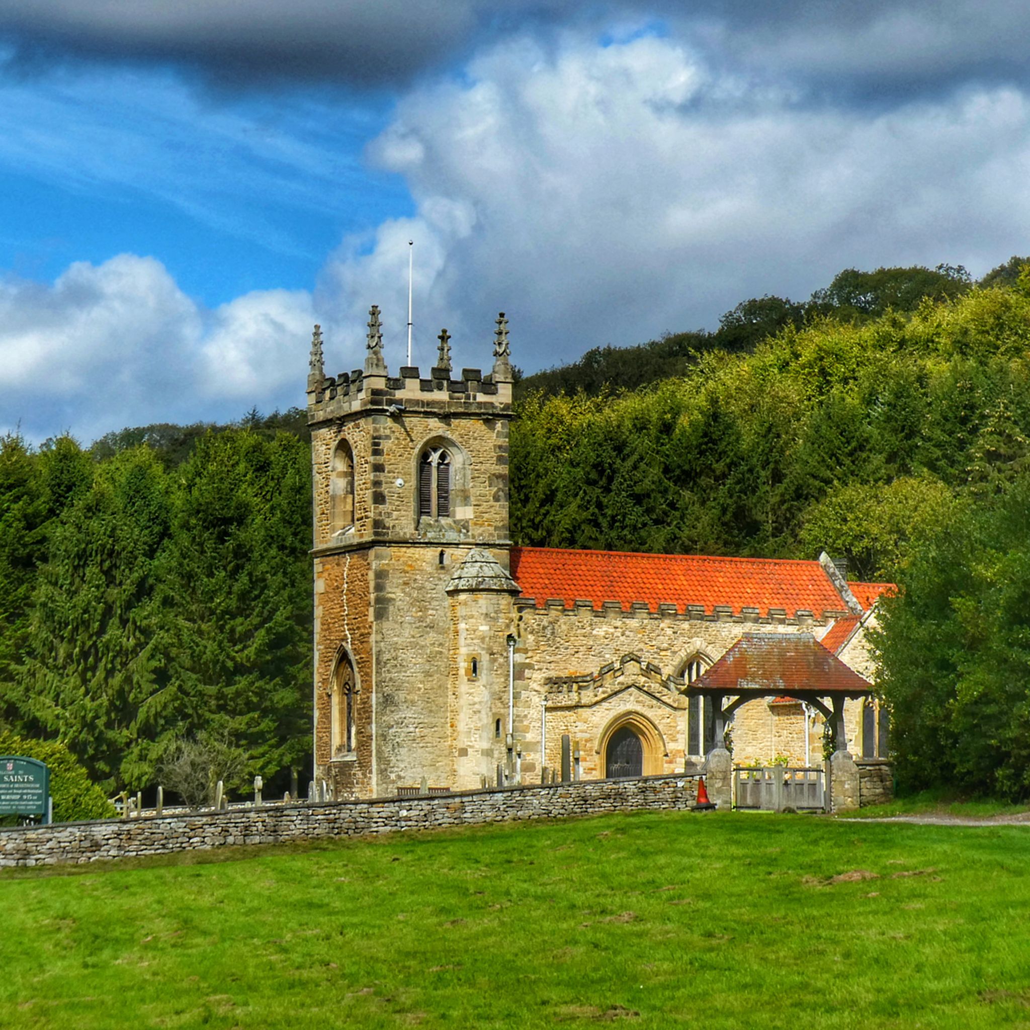
The Ellerker area is rich in points of interest. Along your hikes, you might encounter historical sites like St Helen’s Church, Welton, or the charming All Saints' Church, Brantingham. Nature lovers can explore areas like Welton Dale or visit Brantingham Village Pond.
What is the best time of year to hike in Ellerker?
Ellerker offers enjoyable hiking year-round, but each season has its charm. Spring brings blooming wildflowers and fresh greenery, while summer provides longer daylight hours for extended walks. Autumn showcases beautiful foliage, and even winter can be pleasant for crisp, clear walks, especially on the well-maintained paths.
Are there any trails with pub stops or places to eat along the way?
Many of Ellerker's trails connect picturesque villages, increasing the likelihood of finding a pub or cafe for refreshments. While specific routes aren't highlighted for pub stops, exploring trails that pass through villages like Brantingham or Welton will offer opportunities for a break and a bite to eat.
What do other hikers enjoy most about hiking in Ellerker?
The hiking experience in Ellerker is highly rated by the komoot community, with an average score of 4.5 stars from over 1,000 reviews. Hikers often praise the region's varied terrain, from gentle dales and mature woodlands to open countryside, as well as the well-maintained paths and the peaceful atmosphere.
Are there any hidden gem walks or less-known trails in the Ellerker area?
While Ellerker's main trails are popular, the extensive network of over 300 routes means there are always less-trodden paths to discover. Exploring some of the moderate or difficult trails, such as the Brantingham Village Pond – Woodland Path loop from Brantingham, can lead you to quieter sections of the East Riding of Yorkshire countryside, offering a sense of discovery away from the busiest spots.
What should I wear for hiking in Ellerker?
Given the varied terrain and typical British weather, it's advisable to wear comfortable, layered clothing suitable for the season. Sturdy walking shoes or boots are recommended, especially for trails that might be muddy after rain. A waterproof jacket is always a good idea, regardless of the forecast, and consider bringing a hat and sunscreen during warmer months.
Most popular attractions around Ellerker

Get inspired with the komoot mobile app


Explore more
Browse the best Hikes in other regions.
