The best road cycling routes around Goole
4.3
(46)
2,260
riders
39
rides
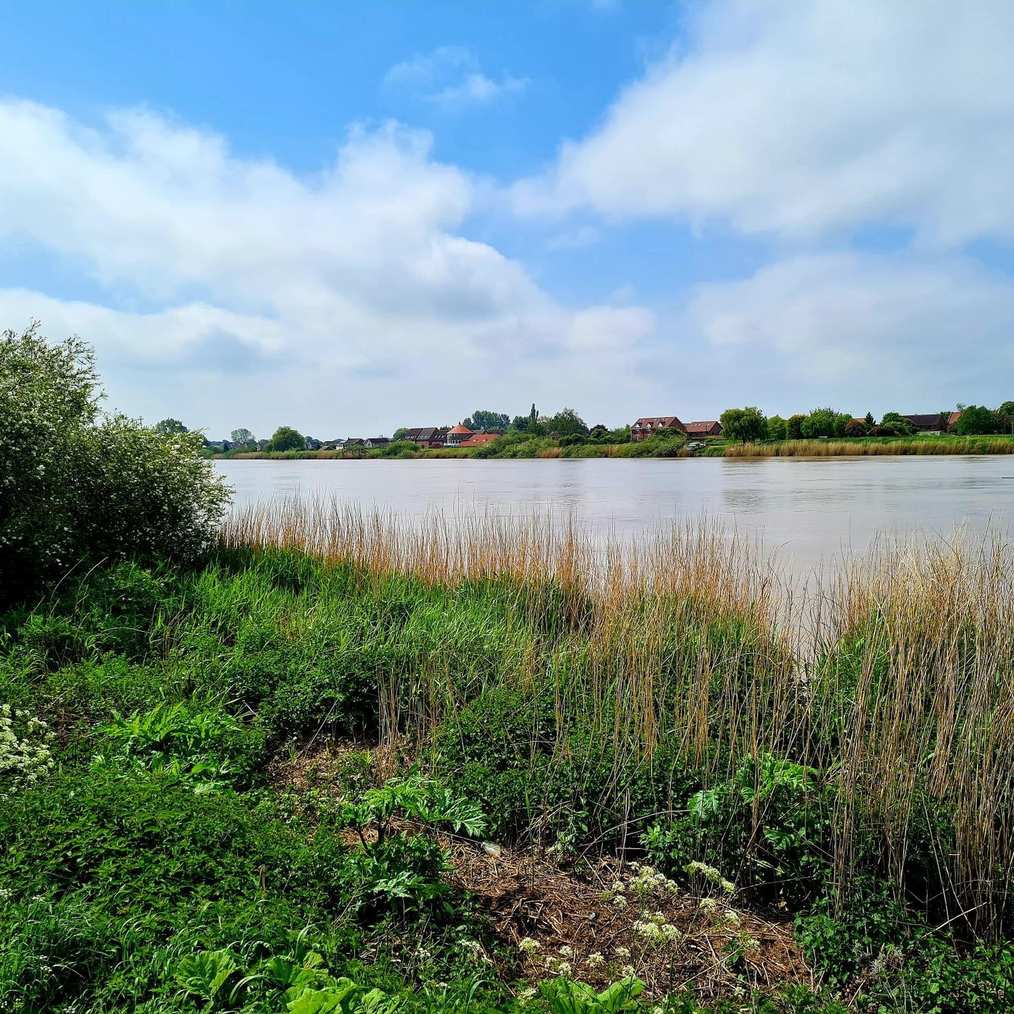
Road cycling around Goole is characterized by its predominantly flat and open landscape, making it accessible for various fitness levels. The region, part of the East Riding of Yorkshire, features expansive fields, drainage ditches, and minimal woodland, offering far-reaching views. The River Ouse is a significant natural feature, with its banks providing scenic backdrops for routes. This low-lying terrain is ideal for road cyclists seeking well-paved surfaces and gentle gradients.
Best road cycling routes around Goole
- The most popular road…
Last updated: May 26, 2026
16
riders
56.7km
02:19
70m
70m
Cycle a moderate 35.2-mile loop around Crowle Moor, Goole Moor, and the Isle of Axholme, enjoying flat, diverse landscapes.
57
riders
76.7km
03:13
240m
240m
Moderate road ride. Good fitness required. Mostly well-paved surfaces and easy to ride.

Sign up for free
3.0
(2)
53
riders
Moderate road ride. Good fitness required. Some segments of this route may be unpaved and difficult to ride.
4.5
(2)
52
riders
47.3km
02:06
50m
50m
Moderate road ride. Good fitness required. Mostly well-paved surfaces and easy to ride.
5.0
(2)
28
riders
55.1km
02:07
60m
60m
Moderate road ride. Good fitness required. Mostly well-paved surfaces and easy to ride.
Get access to more routes and recommendations from other explorers.
Sign up for free
Already have an account?
Our route recommendations are based on thousands of hikes, rides, and runs completed by other people on komoot.
Start today with a free account
Your next adventure awaits.
Login or Signup
Tips from the Community


Howden is a country town in the English unitary authority of East Riding of Yorkshire. According to the 2001 census, Howden had a total population of 3,810.
1
0
Beautiful Minster https://www.english-heritage.org.uk/visit/places/howden-minster/
2
0

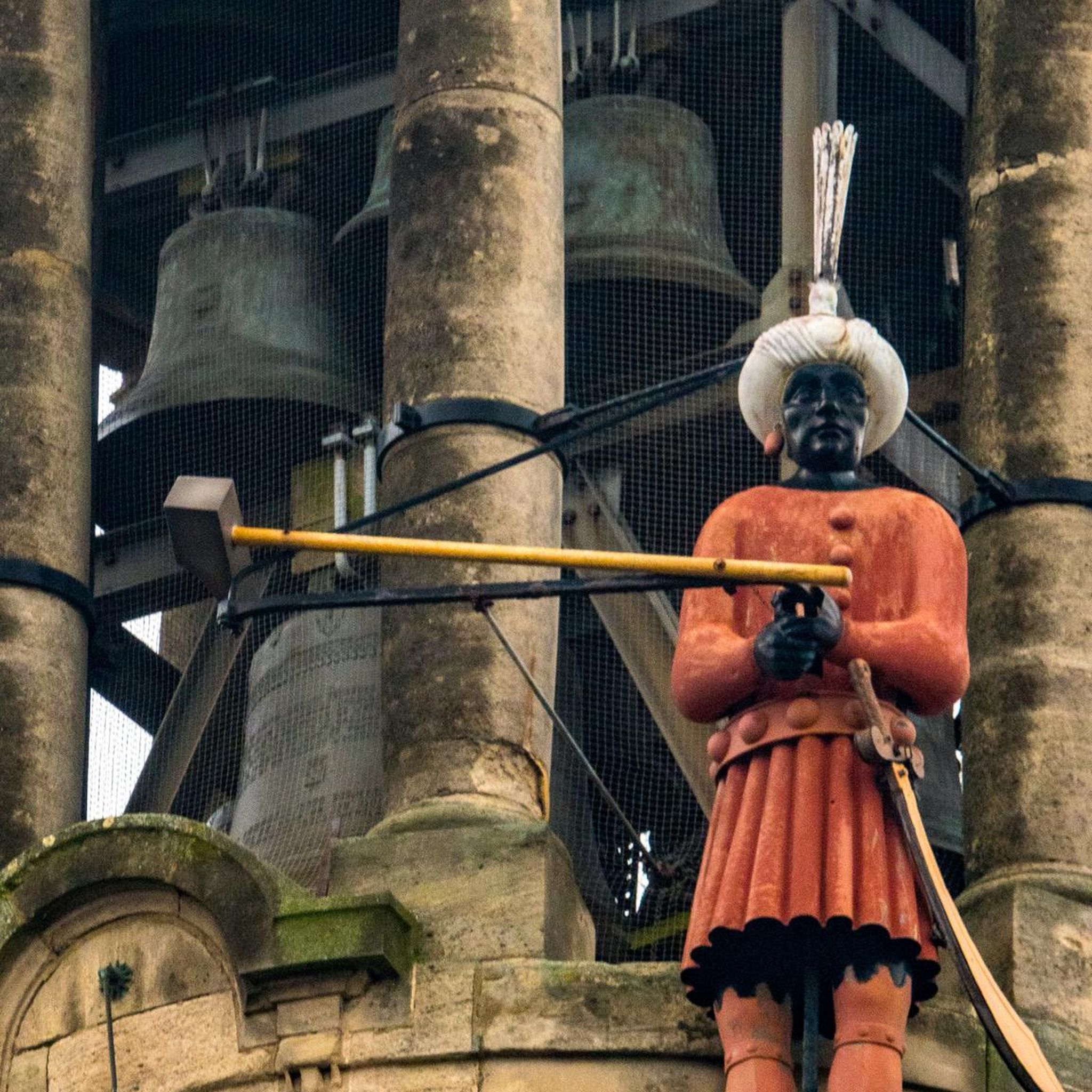
Howden is a market and minster town with a well preserved Georgian town centre. It's dominated by the impressive arch of the Minster's ruined chancel and the St Peter's Church.
0
0

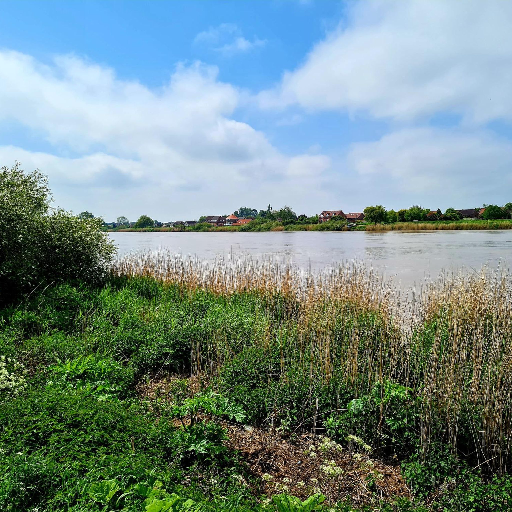
The Stainforth and Keadby Canal links the river Don near Bramwith to the River Trent at Keadby. It was authorised by an Act of Parliament in 1793 and eventually opened in 1802. There are only three locks on the canal, one at each end and this one at Thorne.
1
0
Frequently Asked Questions
What is the general terrain like for road cycling around Goole?
The Goole area is predominantly flat and open, making it ideal for road cycling. The landscape features expansive fields, drainage ditches, and minimal woodland, offering far-reaching views. While most routes are on well-paved surfaces, some segments might be unpaved, catering to different fitness levels.
Are there many road cycling routes available in Goole?
Yes, there are over 40 road cycling routes around Goole. These routes cater to various abilities, with 12 easy, 25 moderate, and 3 more difficult options available for exploration.
What kind of amenities are available for cyclists in Goole?
Goole is well-equipped for cyclists, offering amenities such as secure cycle parking, public toilets, and numerous cafes, restaurants, and pubs for refreshments. There are also two local bike shops, with one providing maintenance and repair services.
Are there any family-friendly road cycling routes in the Goole area?
The predominantly flat terrain around Goole makes many routes suitable for families. For instance, the scenic 7-mile (11km) ride from Goole to Howden offers pleasant views and can utilize a shared-use off-road cycle path along the A614 Airmyn Road, providing a safer option for families.
What natural features or landmarks can I see while cycling around Goole?
Cyclists can enjoy views of the River Ouse, which is a haven for wildlife. Routes often incorporate historical landmarks like the impressive Howden Minster Ruins and the iconic Boothferry Bridge. Nature reserves such as Saltmarshe Delph Nature Reserve also offer scenic points of interest.
Are there any circular road cycling routes starting from Goole?
Yes, many routes around Goole are designed as loops. A popular option is the Goole loop round Crowle Moor, Goole Moor and the Isle of Axholme, which is a moderate 56.7km ride offering diverse, flat landscapes. Another is the Boothferry Bridge – Howden Minster Ruins loop from Goole, a shorter 47.4km route.
What do other cyclists say about road cycling in Goole?
The road cycling routes in Goole are highly rated by the komoot community, with an average score of 4.3 stars from 8 reviews. Cyclists often praise the flat, open countryside and the variety of routes available for different skill levels.
Are there options for longer road cycling routes from Goole?
Absolutely. For a longer ride, consider the Askern Lake – Iron Horse Equestrian Café loop from Goole, a moderate 76.8km path that includes a 240m elevation gain. Another substantial option is the View of M62 Ouse Bridge – Howden Minster Ruins loop from Goole, covering 70.7km.
What is the best time of year for road cycling in Goole?
The flat and open landscape of Goole is enjoyable throughout much of the year. Spring and autumn are particularly pleasant for birdwatching at reserves like Oakhill Nature Reserve, which can be incorporated into your ride. Summers are generally mild, making it suitable for cycling, while winters can be colder but still offer opportunities on well-maintained roads.
Can I find easy road cycling routes suitable for beginners around Goole?
Yes, Goole offers several easy road cycling routes perfect for beginners, thanks to its predominantly flat terrain. Many of the 12 easy routes available are suitable for those new to road cycling or looking for a relaxed ride.
Are there any routes that offer a bit more elevation or challenge?
While Goole is largely flat, some routes do offer a bit more elevation. The Askern Lake – Iron Horse Equestrian Café loop from Goole, for example, includes a 240m elevation gain over its 76.8km distance, providing a more challenging experience compared to other local routes.
How accessible are the cycling routes from Goole by public transport?
Goole itself is a port town with public transport links. While specific route access points by public transport may vary, the town's central location makes it a convenient starting point for many routes. Cyclists can often reach the beginning of routes directly from Goole's amenities.
Most popular attractions around Goole

Get inspired with the komoot mobile app


Explore more
Browse the best Road cycling routes in other regions.
