The best road cycling routes around Grindale
4.6
(40)
1,631
riders
169
rides
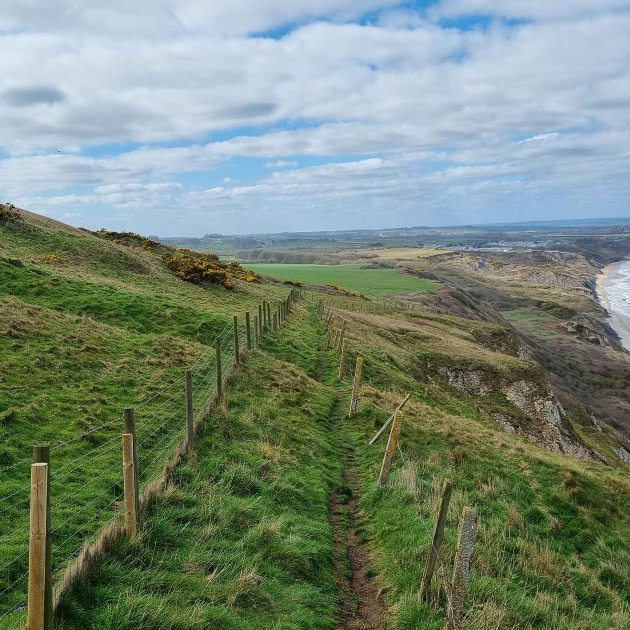
Road cycling around Grindale offers access to the varied landscapes of the East Riding of Yorkshire. The region features the rolling chalk hills and valleys of the Yorkshire Wolds, characterized by quiet country lanes and undulating terrain. Cyclists can also experience the North Sea coastline, providing sea views and coastal breezes, particularly around features like Bempton Cliffs. The area's diverse topography provides a range of road cycling experiences.
Best road cycling routes around Grindale
- The most popular road cycling route…
Last updated: June 29, 2026
26
riders
70.9km
03:16
650m
650m
Moderate road ride. Good fitness required. Mostly well-paved surfaces and easy to ride.
5.0
(1)
18
riders
65.6km
02:58
520m
520m
Moderate road ride. Good fitness required. Mostly well-paved surfaces and easy to ride.

Sign up for free
5.0
(1)
10
riders
40.6km
02:09
330m
330m
Moderate road ride. Good fitness required. Mostly well-paved surfaces and easy to ride.
8
riders
34.0km
01:38
230m
230m
Easy road ride. Great for any fitness level. Mostly well-paved surfaces and easy to ride.
7
riders
32.4km
01:25
270m
270m
Easy road ride. Great for any fitness level. Mostly well-paved surfaces and easy to ride.
Get access to more routes and recommendations from other explorers.
Sign up for free
Already have an account?
Our route recommendations are based on thousands of hikes, rides, and runs completed by other people on komoot.
Start today with a free account
Your next adventure awaits.
Login or Signup
Tips from the Community

A beautiful old mansion with a unique interior and a lovely garden. There's also a good café next door. Ideal for a stop.
0
0

The gate of an old church. Unfortunately, I couldn't figure out what used to stand there, whether it was a monastery or something else. But I found this portal very impressive.
0
0

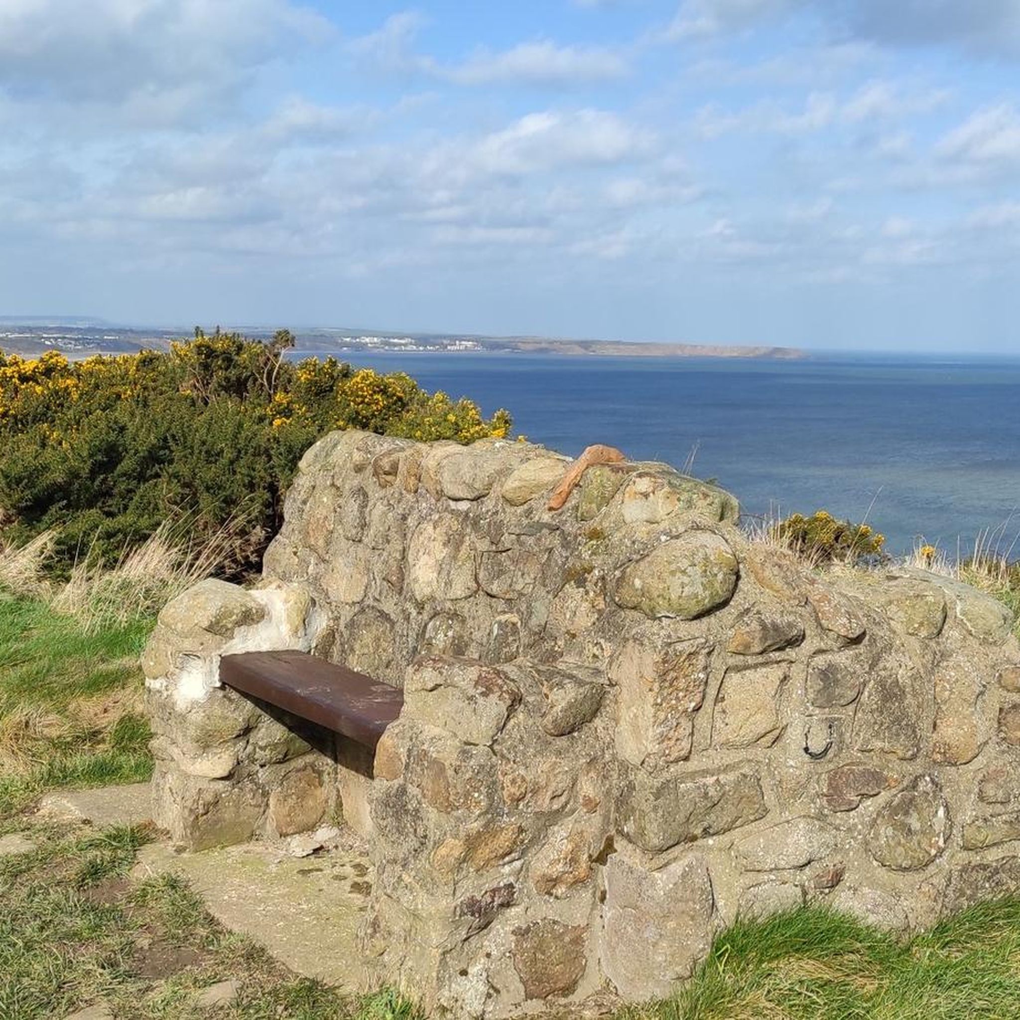
A great spot to add on your trip if you like puffins. They begin to arrive in late April and start settling into their burrows in May each year. By late July most of the chicks have fledged and the adults begin returning back to the open sea. By August all the puffins have left Bempton Cliffs as they spend the winter in the northern oceans.
0
0
The Rudston monolith is the tallest prehistoric standing stone in Britain, measuring almost 8 metres high, nearly 2 metres wide, a metre thick and estimated to weigh somewhere in the region of a massive 26 tons. This giant block of grey sandstone or gritstone was errected here either in the late Neolithic or early Bronze Age and is thought to have been quarried more than 10 miles away in the Cayton Bay area south of Scarborough, although the glacial transportation of a large block of stone that was then shaped and utilised by the prehistoric residents of the area cannot be ruled out. The top of the stone has been weathered and eroded into a fluted peak similar to the stones of the Devil's Arrows and a lead cap was first added to try to preserve it in the 18th century. The churchyard of All Saints that it stands in is of course much younger and although the christianisation of the site took place around 1100AD the stone had already stood here for at least 3000 years. The monolith stands close to the Gypsey Race, an occasional stream that flows along the floor of the Great Wold Valley from close to the barrow of Duggleby Howe in the east, past another pair of barrows at Wold Newton and Willie Howe before turning south past the Argham Henge and Cursus down to Rudston itself where it bends sharply and heads eastwards to the sea at Bridlington. The whole of the Gypsey Race landscape was obviously important in prehistoric times and holds a rich selection of sites, most of which have been destroyed or badly damaged by ploughing, including many round barrows, several long barrows, four cursuses and at least one henge. It continued to retain its importance into the historic period - a major Roman villa was discovered to the southwest of Rudston village. In the corner of the churchyard is a much smaller stone presumably brought here from a local barrow and also the remains of a double cist that was removed from a nearby barrow on Rudston Beacon by the antiquarian Canon Greenwell in the late 19th century.
0
0
Good souls coffee shop doing food till 2.30pm and coffee and cake after. Great stop mid or post ride. Plenty of outside parking and staff are friendly.
1
0

The well is dedicated to St John of Beverley who was born in Harpham and became an important Northumbrian bishop. His feast day is the 7th May and each year on the nearest Thursday to May 7th there is a procession to the well which is decorated with flowers.
0
0

Wold Newton is located within the Great Wold Valley and the course of the Gypsey Race, a winterbourne chalk stream, which passes through the south of the village. The parish church of All Saints is a Grade II listed building, and there are a further eight Grade II listed buildings in the village.
0
0
Situated in the churchyard in the village of Rudston, this monolith, which stands at over 25 feet, is the tallest megalith in the United Kingdom.
0
0
Frequently Asked Questions
How many road cycling routes are available around Grindale?
There are over 170 road cycling routes available around Grindale, offering a wide variety of options for different skill levels and preferences. The komoot community has explored these routes over 1,600 times.
What kind of terrain can I expect on road cycling routes near Grindale?
Road cycling around Grindale is characterized by the rolling chalk hills and valleys of the Yorkshire Wolds, featuring quiet country lanes and undulating terrain. You can also experience dramatic North Sea coastlines, providing sea views and coastal breezes, particularly around areas like Bempton Cliffs. The topography offers a mix of climbs and descents, with some flatter sections.
Are there routes suitable for beginners or those looking for an easy ride?
Yes, Grindale offers a good selection of routes suitable for beginners or those seeking an easier ride. There are 58 routes classified as easy, such as the Bridlington Priory Church – Rudston Monolith loop from Burton Fleming, which is 21.1 miles (33.9 km) long, or the Wold Newton Village Green – Rudston Monolith loop from Boynton, covering 20.1 miles (32.4 km).
Where can I find challenging climbs for road cycling in the Grindale area?
The undulating terrain of the Yorkshire Wolds provides rewarding challenges for cyclists, with climbs often leading to expansive views. While specific 'difficult' routes are fewer (4 in total), many of the moderate routes, especially those traversing the Wolds, will feature significant ascents. The coastal routes can also include challenging sections with elevation changes.
What natural features and landmarks can I see while cycling around Grindale?
Cyclists can enjoy diverse natural features and landmarks. The routes often pass through the picturesque Yorkshire Wolds with its dry valleys like Thixendale and Millington Dale. Along the coast, you can see the towering chalk cliffs at RSPB Bempton Cliffs Nature Reserve, North Landing Beach and Cliffs, and Flamborough Cliffs. Historic sites like the Flamborough Lighthouse are also accessible.
Are there any specific long-distance or multi-day road cycling routes accessible from Grindale?
Yes, Grindale's location provides access to significant long-distance routes. The Yorkshire Wolds Cycle Route, a circular route spanning over 140 miles, winds through charming market towns and villages. The Way of the Roses, a coast-to-coast route, also passes through the East Riding, offering opportunities for longer, multi-day adventures.
Can I find circular road cycling routes in Grindale?
Many of the road cycling routes around Grindale are designed as loops, allowing you to start and finish in the same location. Examples include the View of Cayton Bay – Scarborough North Bay Beach loop from Bempton and the Rudston Monolith – Burton Agnes Hall and Gardens loop from Burton Fleming. The broader Yorkshire Wolds Cycle Route is also a well-known circular option.
What is the best time of year to go road cycling in Grindale?
The East Riding of Yorkshire is generally pleasant for cycling from spring through autumn. The 'Big Skies' landscapes of the Yorkshire Wolds are particularly picturesque in warmer months. Coastal routes can be enjoyed year-round, though coastal breezes might be stronger in cooler seasons. Always check local weather conditions before heading out.
Are there family-friendly road cycling options around Grindale?
While many routes are on quiet country lanes, families with younger children might prefer routes with less traffic or flatter sections. The region offers numerous shorter loops and day rides that can be adapted for family outings. Look for routes classified as 'easy' for a more relaxed experience.
What amenities like cafes or pubs are available along the cycling routes?
The region's established cycling routes, such as the Yorkshire Wolds Cycle Route, connect charming market towns like Beverley, Malton, and Driffield, as well as picturesque villages. These settlements offer ample opportunities for refreshment stops at cafes, pubs, and even accommodation. Many local loops also pass through villages where you can find amenities.
Is parking readily available for road cyclists in the Grindale area?
Parking availability varies by starting point. Many towns and villages along the routes offer public parking facilities. For specific routes, it's advisable to check the route details on komoot or local council websites for parking information at the suggested starting points.
How can I access Grindale's cycling routes using public transport?
Public transport options, including local bus services, connect Grindale and surrounding towns in the East Riding of Yorkshire. Some routes may be accessible via train stations in larger nearby towns like Scarborough or Bridlington, though carrying bikes on public transport can have restrictions. For detailed information on public transport, it's best to consult local transport provider websites.
What do other cyclists say about road cycling in Grindale?
The road cycling routes around Grindale are highly rated by the komoot community, with an average score of 4.5 stars from over 30 reviews. Cyclists often praise the varied terrain, from the rolling Wolds to the stunning coastal views, and the network of quiet country lanes that make for an enjoyable ride.
Are there any coastal road cycling routes near Grindale?
Absolutely. Grindale's proximity to the North Sea coastline means you can enjoy road cycling routes with dramatic sea views and coastal breezes. Routes like the View of Cayton Bay – Scarborough North Bay Beach loop from Bempton and the Scarborough North Bay Beach – View of Cayton Bay loop from Reighton offer extensive coastal scenery, including views across Cayton Bay and the beaches at Filey and Reighton.
Most popular routes around Grindale
Most popular attractions around Grindale

Get inspired with the komoot mobile app


Explore more
Browse the best Road cycling routes in other regions.
