The best walks and hikes around Skirpenbeck
4.6
(527)
3,361
hikers
98
hikes
Hiking around Skirpenbeck explores the rolling agricultural landscapes of the East Riding of Yorkshire. The region features tranquil lanes, gentle streams, and ancient woodlands, with routes often passing historical sites. The terrain is generally flat with some gentle inclines, making it accessible for a range of walking abilities.
Best hiking trails around Skirpenbeck
- The most popular hiking route is Skirpenbeck Motte – Buttercrambe Bridge loop from Stamford Bridge, a 6.6 miles (10.7 km) trail that takes 2 hours 44…
Last updated: May 12, 2026
4.5
(11)
51
hikers
5.50km
01:24
20m
20m
Easy hike. Great for any fitness level. Easily-accessible paths. Suitable for all skill levels.
4.7
(9)
35
hikers
Moderate hike. Good fitness required. Easily-accessible paths. Suitable for all skill levels.

Sign up for free
3.0
(5)
14
hikers
10.7km
02:44
40m
40m
Moderate hike. Good fitness required. Easily-accessible paths. Suitable for all skill levels.
5
hikers
Moderate hike. Good fitness required. Easily-accessible paths. Suitable for all skill levels.
14
hikers
4.60km
01:10
10m
10m
Easy hike. Great for any fitness level. Easily-accessible paths. Suitable for all skill levels.
Get access to more routes and recommendations from other explorers.
Sign up for free
Already have an account?
Our route recommendations are based on thousands of hikes, rides, and runs completed by other people on komoot.
Start today with a free account
Your next adventure awaits.
Login or Signup
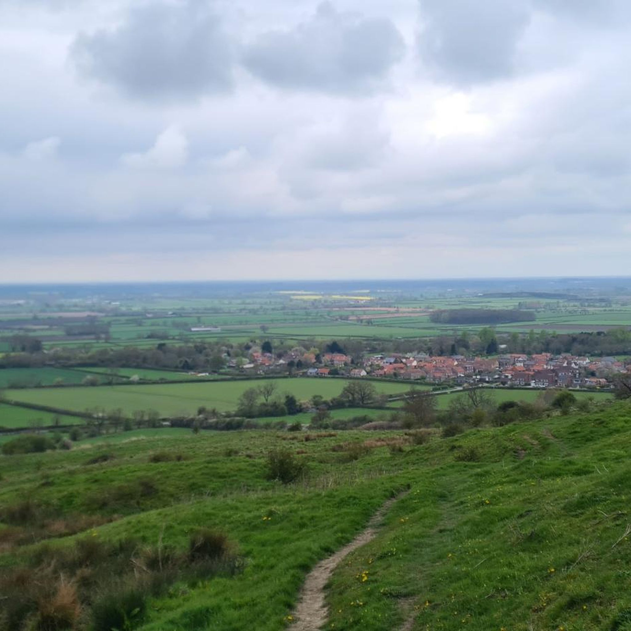
Tips from the Community

The oldest surviving cast-iron railway bridge of its kind in Britain, dating back to 1847. - The last train crossed the viaduct on 27 November 1965, after which the line was closed and the structure fell into disuse. By 1991, its condition had deteriorated so badly that East Yorkshire Borough Council planned to demolish it, estimating costs at £60,000. Thanks to local protests and rail heritage campaigners, the demolition was halted. The viaduct was restored and now forms part of the Sustrans National Cycle Network, preserving its legacy for public enjoyment.
0
0

Go into the village and visit the whiskyshop.
0
0

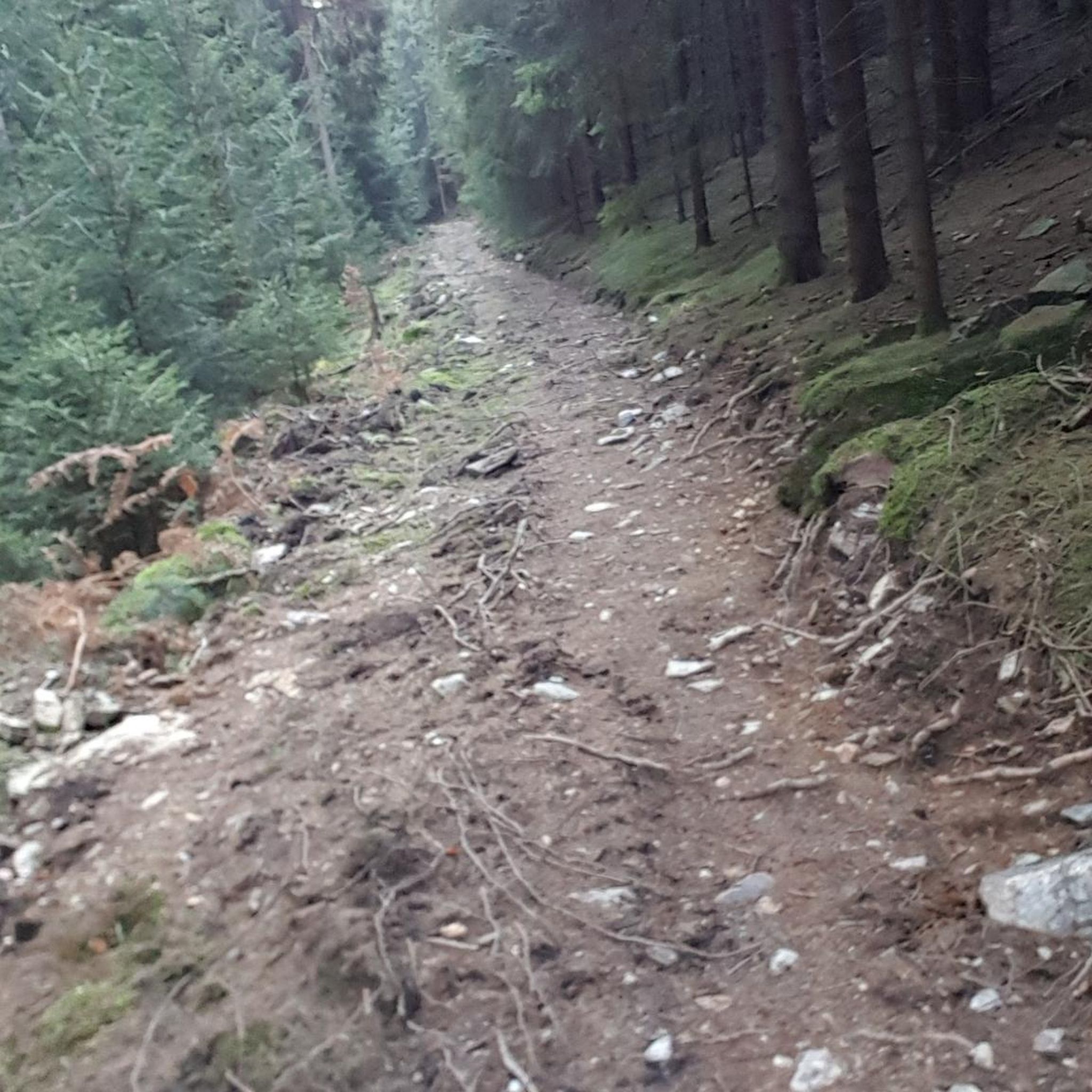
Rough track that would be suitable for MTB, touring, and gravel bikes
0
0

This impressive old railway viaduct that spans over the River Derwent is built from beautiful red brick and consists of 15 arches. Once a vital link for the railway connecting York and Market Weighton, this structure stands as the largest remaining remnant of that historic railway line. Today, it has transformed into a tranquil and traffic-free crossing, offering a picturesque vantage point to admire the waterway below.
1
0

High Catton Hill 37.1m P21.6 (122ft) County of Yorkshire Definitive List Summit
0
0

The field to the north east of the road is the site of the Battle of Stamford Bridge on 25/09/1066, a turning point in English history. It was here that King Harold of England defeated the Viking King Harald Harada and Harold's own brother Tostig. This resulted in the end of the Viking era in England, such was the loss of life. Though from here, King Harold and his men had to march to Hastings on the south coast of England to meet William of Normandy who was challenging Harold's ascension to the throne. Harold's exhausted and much depleted men were defeated at the Battle of Hastings and Harold killed. This lead to the Norman Conquest of England. The Battle of Stamford Bridge is depicted in the Bayeux Tapestry. There are monuments to the Battle of Stamford Bridge in the village and on the site of battle at the end of Whiterose Drive.
0
0


Great cafe, worth a stop for breakfast, lunch, or dinner
0
0
Frequently Asked Questions
Are there any circular walks that start and end in the Skirpenbeck area?
Yes, the area is well-suited for circular hikes. Many routes begin in nearby Stamford Bridge and loop through the surrounding countryside. A good example of a moderate loop is the Hiking loop from Stamford Bridge, which covers varied terrain over approximately 5 miles (7.8 km).
What are the trails like for hiking with dogs?
The public footpaths around Skirpenbeck are generally dog-friendly, crossing open fields and quiet lanes where dogs can often walk off-leash. However, since this is active agricultural land, you will encounter livestock. Always be prepared to put your dog on a lead, especially near sheep or cattle.
Are there any easy, family-friendly hikes near Skirpenbeck?
Definitely. The region's gentle terrain makes it great for families. For an easy and enjoyable walk, consider the Town End Plantation loop from Stamford Bridge. It follows well-maintained paths through woodland and is a manageable 4.5 miles (7.3 km).
Where can I park to start a walk?
Most hikes in this guide begin from the nearby village of Stamford Bridge, which offers more convenient street parking and public car parks than the small village of Skirpenbeck itself. It's best to park in Stamford Bridge and begin your walk from there.
Can I find any long-distance trails in the area?
Yes, there are several longer routes for those seeking a more challenging day out. The Wilson's Plantation loop from Stamford Bridge is a great option, covering over 9 miles (14.7 km) through the scenic Yorkshire Wolds landscape.
What do other hikers think of the trails around Skirpenbeck?
The routes around Skirpenbeck are highly regarded by the komoot community, with an average rating of 4.6 stars. Hikers often praise the tranquil atmosphere, the well-marked paths through rolling farmland, and the blend of natural scenery with local history.
Are there any walks that feature historical sites?
Yes, the region is rich in history. A particularly interesting route is the Battle of Stamford Bridge Site – High Catton Hill Summit loop from Stamford Bridge. This trail takes you through the area of the famous 1066 battle, offering a walk through a significant piece of English history.
What kind of terrain should I expect on the trails?
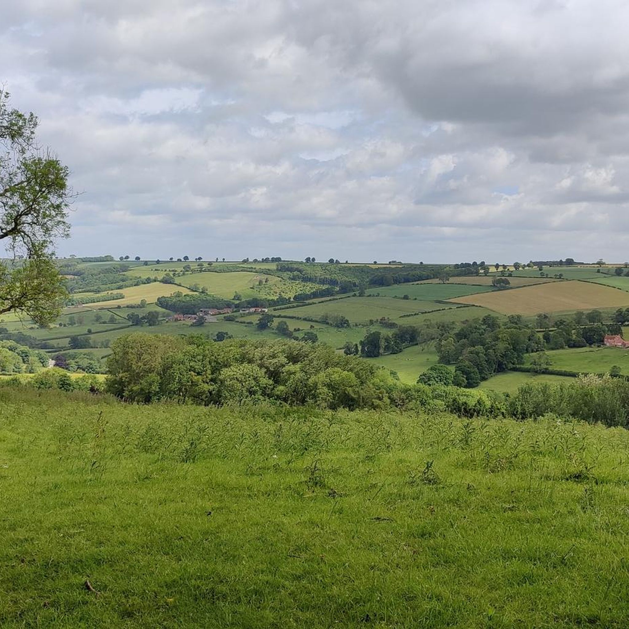
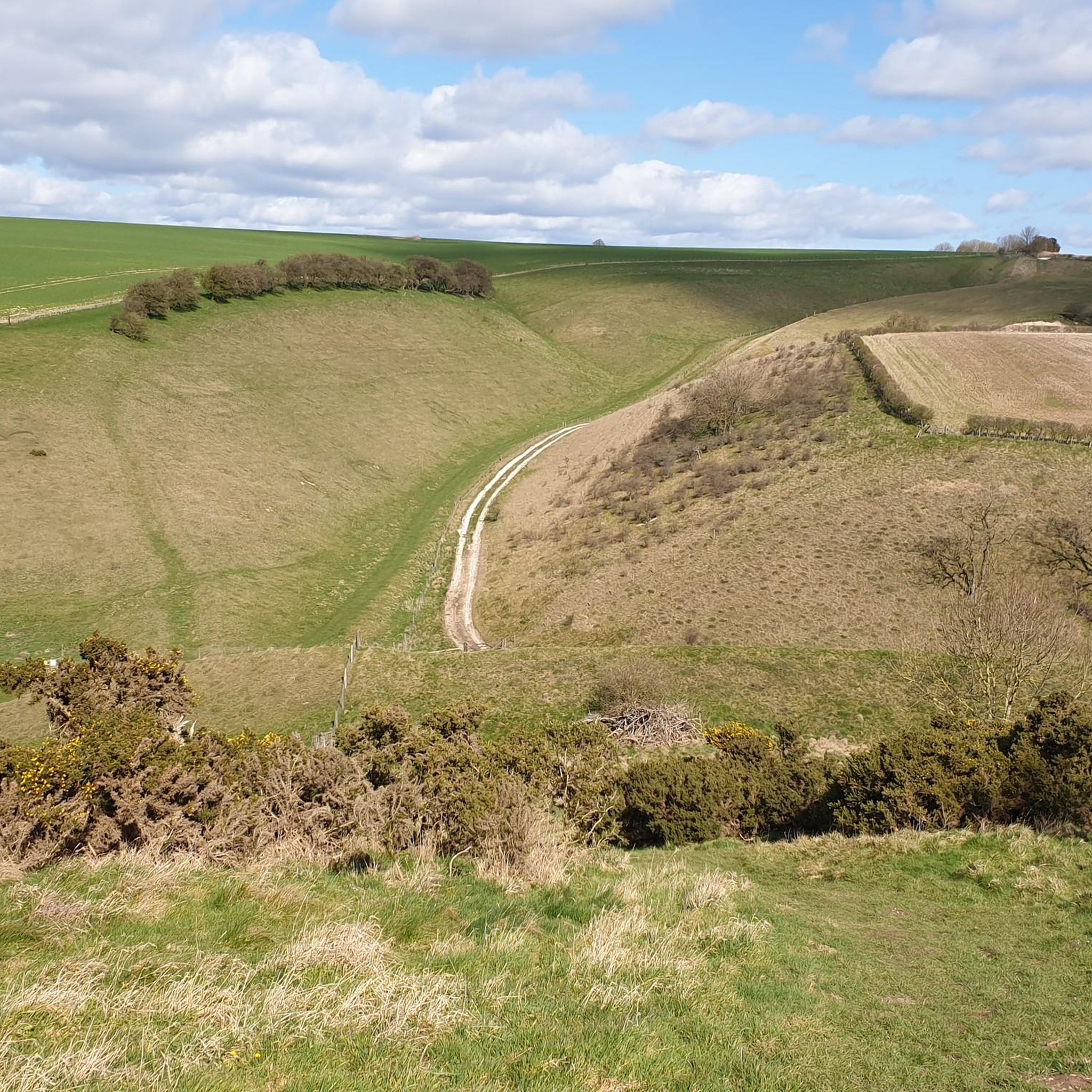
The terrain is typical of the Yorkshire Wolds: expect gentle rolling hills, open agricultural fields, and quiet country lanes. Paths are a mix of grassy tracks, woodland trails, and bridleways. While generally not strenuous, trails can become muddy, especially after rain, so waterproof footwear is recommended.
How many hiking trails are there to choose from around Skirpenbeck?
You'll find a wide variety of options, with nearly 100 hiking routes crisscrossing the landscape around Skirpenbeck. These range from short, easy strolls to more demanding moderate-level hikes, ensuring there's a trail for every ability.
Are there any good woodland walks in the area?
The area features several beautiful woodlands. While many routes pass through smaller plantations, nearby Millington Wood and Stittenham Wood are local highlights known for their serene trails and seasonal bluebell displays, offering a peaceful escape into nature.
Can I get to the trailheads using public transport?
Yes, the larger village of Stamford Bridge, where many of the popular routes start, is served by bus routes connecting it to York and other nearby towns. From there, you can easily access the network of public footpaths leading towards Skirpenbeck and the surrounding wolds.
Are there any pubs or cafes directly on the walking routes?
The walking routes themselves are primarily through rural countryside and farmland, with limited facilities directly on the trail. For refreshments, your best bet is to visit one of the pubs or cafes in Stamford Bridge before or after your hike.
Most popular attractions around Skirpenbeck

Get inspired with the komoot mobile app


Explore more
Browse the best Hikes in other regions.
