The best walks and hikes around Walpernhain
4.6
(1852)
5,632
hikers
417
hikes
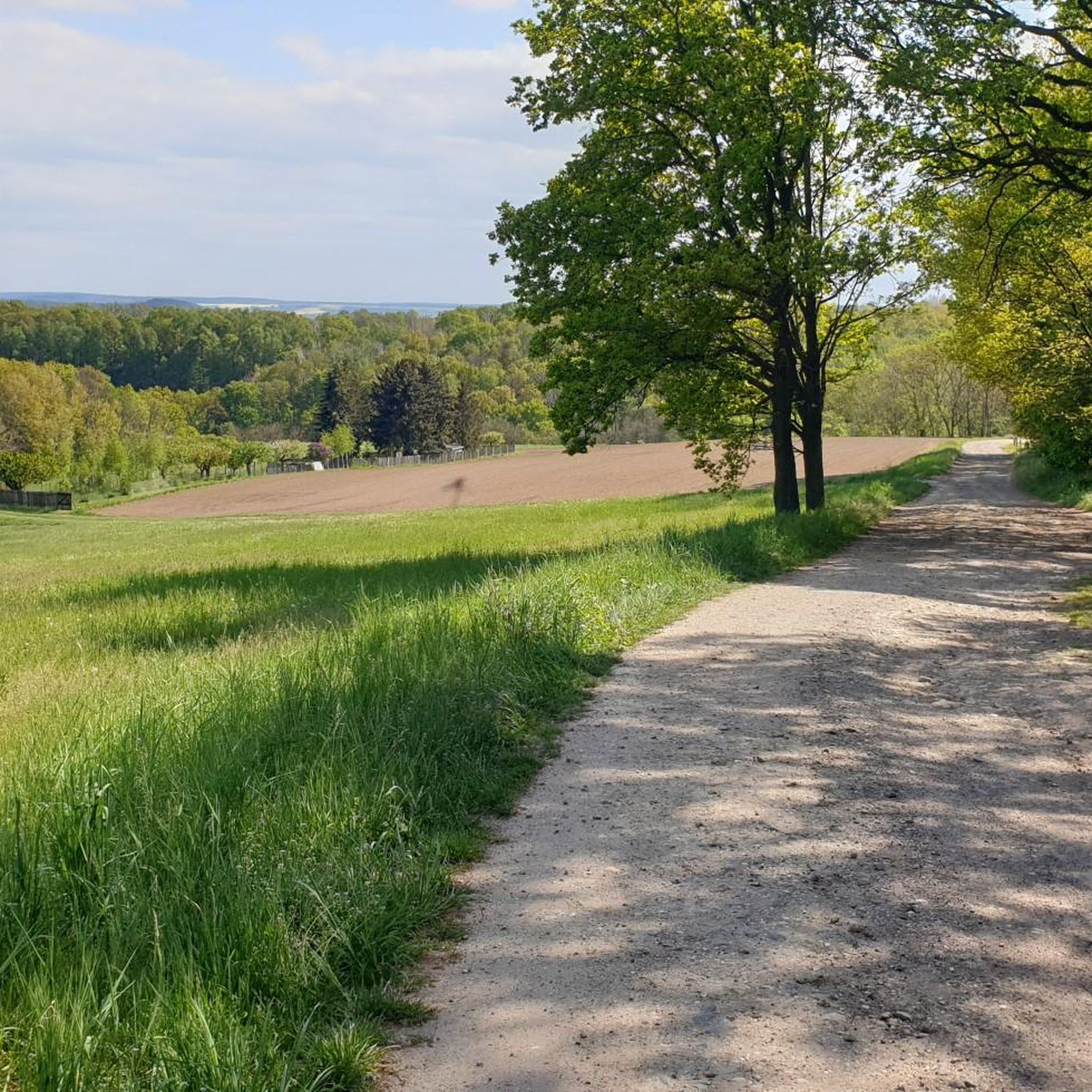
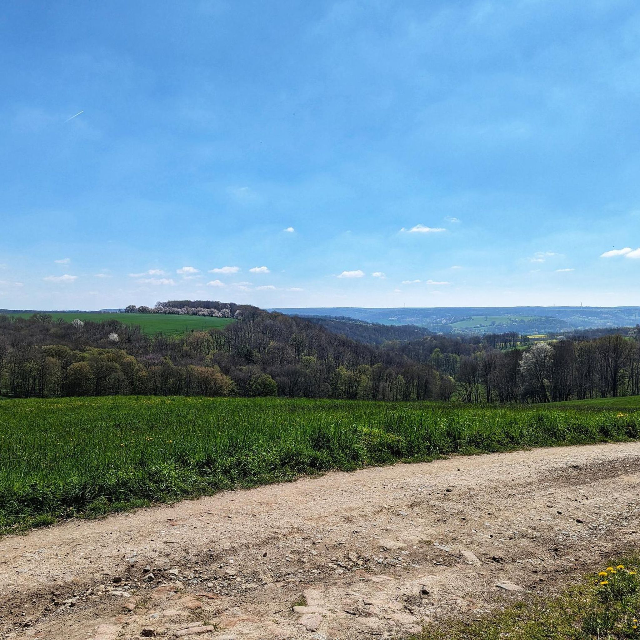
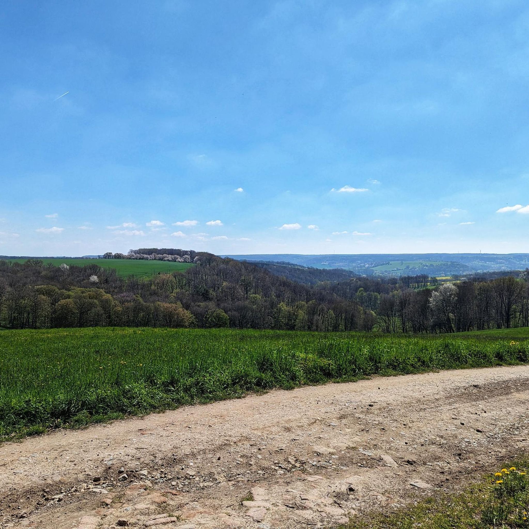
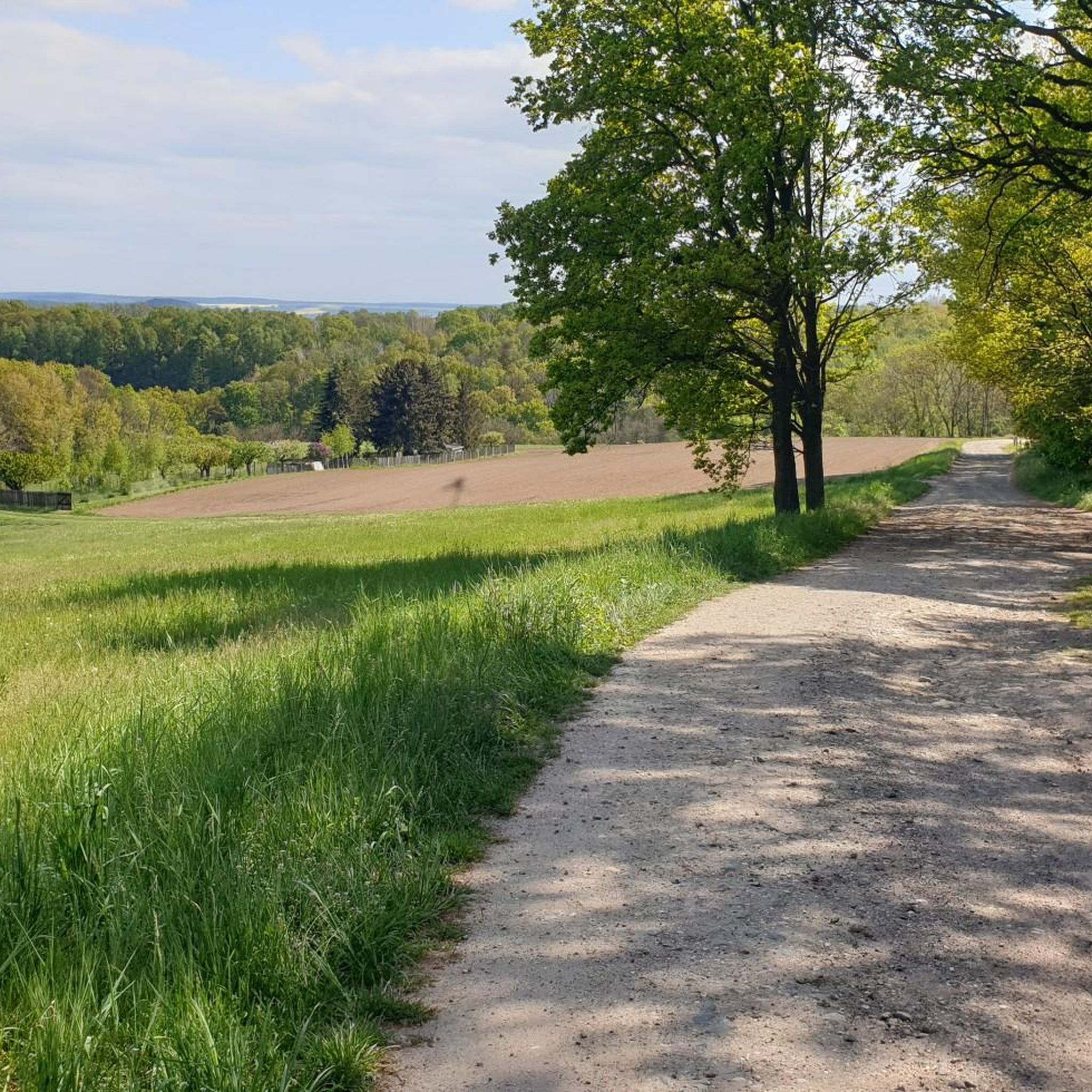
Hiking around Walpernhain, a municipality in the Saale-Holzland-Kreis district of Thuringia, Germany, offers routes through an extensive agricultural area. The local trails provide opportunities to explore the surrounding countryside and smaller natural patches. While not known for dramatic landscapes, the region features gentle terrain suitable for walking. The trails connect local points of interest and offer a way to experience the rural environment of Thuringia.
Best hiking trails around Walpernhain
- The most popular hiking route is Rest area with art…
Last updated: June 24, 2026
4.6
(7)
35
hikers
14.2km
03:52
210m
210m
Moderate hike. Good fitness required. Easily-accessible paths. Suitable for all skill levels.
10
hikers
3.46km
00:54
20m
20m
Easy hike. Great for any fitness level. Easily-accessible paths. Suitable for all skill levels.

Sign up for free
5
hikers
6.81km
01:52
100m
100m
Easy hike. Great for any fitness level. Easily-accessible paths. Suitable for all skill levels.
5
hikers
8.02km
02:11
110m
110m
Moderate hike. Good fitness required. Easily-accessible paths. Suitable for all skill levels.
5.0
(1)
3
hikers
6.06km
01:40
100m
100m
Easy hike. Great for any fitness level. Easily-accessible paths. Suitable for all skill levels.
Get access to more routes and recommendations from other explorers.
Sign up for free
Already have an account?
Our route recommendations are based on thousands of hikes, rides, and runs completed by other people on komoot.
Start today with a free account
Your next adventure awaits.
Login or Signup
Tips from the Community

Magnificent castle in the restored parts - truly worth seeing!
0
0

Unfinished and unconsecrated church, but nevertheless architecturally impressive, such a beautiful, simple space.
0
0

At the CJD Christophorusschule Droyßig high school, students can obtain the university entrance qualification.
11
0


Unfortunately, the enclosure with the sad bears is not a particularly pretty sight.
0
0

This rest area is located between Weissenborn and Pötewitz, just behind Weissenborn. Nice, tidy and with an information board.
1
0
Huge, unfortunately you can not visit it
0
0
It took me a while to realize that I'm the tavern. Definitely take anti-mosquito spray with you.
0
0
Frequently Asked Questions
What kind of terrain can I expect on hikes near Walpernhain?
Hiking around Walpernhain primarily features gentle terrain and agricultural landscapes. You'll find local paths winding through fields and smaller natural patches, making it suitable for relaxed walks rather than challenging mountain climbs. The region is characterized by its rural environment in Thuringia.
How many hiking trails are available around Walpernhain?
There are over 400 hiking routes available around Walpernhain. This includes a wide range of options, with more than 240 easy trails, over 170 moderate routes, and a few more challenging paths for experienced hikers.
Are there any family-friendly hiking trails in Walpernhain?
Yes, Walpernhain offers many family-friendly hiking trails, especially among the numerous easy routes. The gentle terrain and agricultural landscapes are well-suited for walks with children. For example, the Brandberg loop from Lindau is an easy 3.5 km trail that can be completed in under an hour, perfect for a family outing.
Can I bring my dog on the hiking trails around Walpernhain?
Most hiking trails around Walpernhain are suitable for dogs, as they traverse rural and agricultural areas. It's always recommended to keep your dog on a leash, especially when passing through farmlands or near livestock, and to respect local regulations. The general character of the trails, with gentle terrain, is usually pleasant for dogs.
Are there any circular hiking routes available?
Yes, many of the routes around Walpernhain are designed as loops, offering convenient circular walks. Examples include the popular Rest area with art on the table – Bear Enclosure Droyßig loop from Wetterzeube, a moderate 14.2 km trail, or the shorter Café Zinnlale Wetterzeube – Bench on the Geopfad loop from Wetterzeube, which is 7.6 km long.
What are some interesting landmarks or natural features to see along the trails?
While Walpernhain itself is known for its rural charm, the surrounding area offers several points of interest. You might encounter natural monuments like the Teufelsstein near Waldau or the Ernst Spring. The Hainspitz Lake with Nebelfrau statue is also a notable natural attraction nearby. Some routes, like the Café Zinnlale Wetterzeube – Bench on the Geopfad loop from Wetterzeube, explore a 'Geopfad' or geological path.
What do other hikers enjoy the most about hiking in Walpernhain?
The hiking routes around Walpernhain are highly rated by the komoot community, with an average score of 4.6 stars from over 1800 reviews. Hikers often praise the peaceful rural environment, the well-maintained local paths, and the accessibility of trails suitable for various fitness levels. The opportunity to explore the agricultural landscapes and smaller natural areas is frequently highlighted.
Are there any cafes or places to eat near the hiking trails?
Yes, in the wider area around Walpernhain, you can find places to eat. For instance, the Parish Mill and Meuschkens Mill are mentioned as restaurants in nearby attractions. Some routes, like the Café Zinnlale Wetterzeube – Bench on the Geopfad loop from Wetterzeube, even start or pass by cafes, offering convenient refreshment stops.
What is the best time of year to go hiking in Walpernhain?
The best time to hike in Walpernhain is generally during spring, summer, and early autumn. These seasons offer pleasant weather for exploring the agricultural landscapes and local paths. Spring brings blooming fields, summer provides warm days, and autumn showcases colorful foliage. Winter hikes are possible, but trails might be muddy or icy, and services could be limited.
Are there any longer, more challenging hikes in the area?
While Walpernhain is known for its gentle terrain, there are some longer, moderate options. For example, the Rest area with art on the table – Bear Enclosure Droyßig loop from Wetterzeube is a moderate 14.2 km trail that takes nearly 4 hours to complete. There are also a few routes classified as difficult, offering a bit more of a challenge for those seeking it.
Is public transport available to reach hiking trailheads near Walpernhain?
Information on specific public transport connections directly to every trailhead in Walpernhain is limited. Given its rural location, public transport options might be less frequent compared to larger towns. It is advisable to check local bus schedules or consider driving to trailheads, where parking is often available in or near the starting villages.
Where can I find parking for hiking trails in Walpernhain?
Parking for hiking trails around Walpernhain is typically available in the villages where the routes begin or pass through. Many local trails start from small communities like Wetterzeube or Lindau, where you can often find designated parking areas or roadside parking suitable for hikers. Always look for local signs or information regarding parking availability.
Most popular attractions around Walpernhain

Get inspired with the komoot mobile app


Explore more
Browse the best Hikes in other regions.
