The best MTB trails around Erl
4.5
(8719)
39,393
riders
466
rides
Mountain biking around Erl offers a diverse landscape set within the Kufstein district of Tyrol, Austria, bordering Bavaria. The region is characterized by dramatic Alpine scenery, including the Kaiser Mountains and nearby peaks like Hochries and Kranzhorn, providing varied elevations. Riders can expect a mix of wide forest roads, flowing forest paths, and rocky single trails, alongside natural features such as the Gießenbach Gorge. This terrain provides a range of challenges for mountain bikers.
Best mountain bike trails around Erl
…Last updated: September 27, 2026
4.6
(72)
256
riders
28.7km
02:41
960m
960m
Hard mountain bike ride. Very good fitness required. Suitable for all skill levels.
4.8
(40)
142
riders
40.1km
03:30
1,260m
1,260m
Hard mountain bike ride. Very good fitness required. Advanced riding skills necessary. Some portions of the route may require you to push your bike.

4.3
(25)
133
riders
17.9km
01:53
780m
780m
Moderate mountain bike ride. Good fitness required. Advanced riding skills necessary.
4.6
(8)
76
riders
54.3km
05:22
1,690m
1,690m
Hard mountain bike ride. Very good fitness required. Advanced riding skills necessary. Some portions of the route may require you to push your bike.
4.6
(27)
113
riders
30.7km
02:02
370m
370m
Moderate mountain bike ride. Good fitness required. Suitable for all skill levels.
Get access to more routes and recommendations from other explorers.
Already have an account?
Our route recommendations are based on thousands of hikes, rides, and runs completed by other people on komoot.
Start today with a free account
Your next adventure awaits.
Popular around Erl
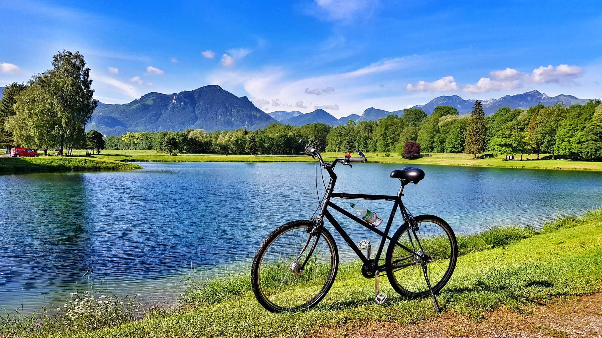
The Inn Cycle Path – From a babbling brook to a mighty river
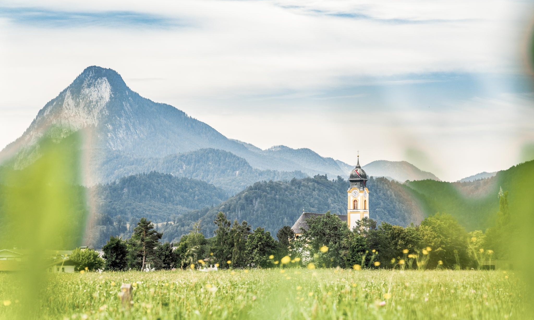
Nature, fun, food, relaxation and stories – inspiring themed trails in Kufsteinerland
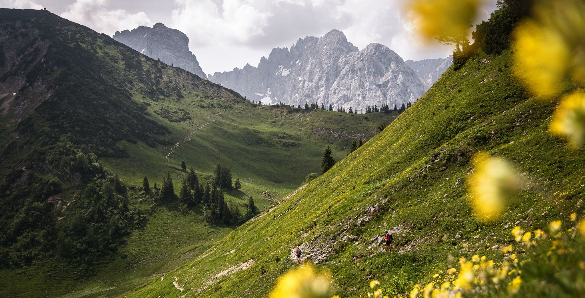
In and around the Kaiser Mountains – hiking in Kufsteinerland
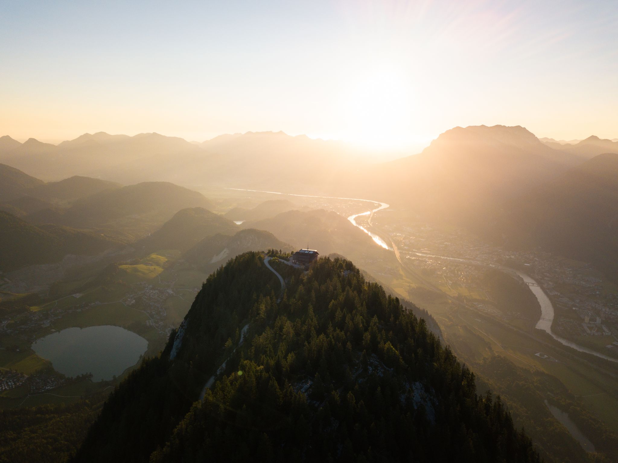
Eight beautiful hikes in the Kufsteinerland region of Austria
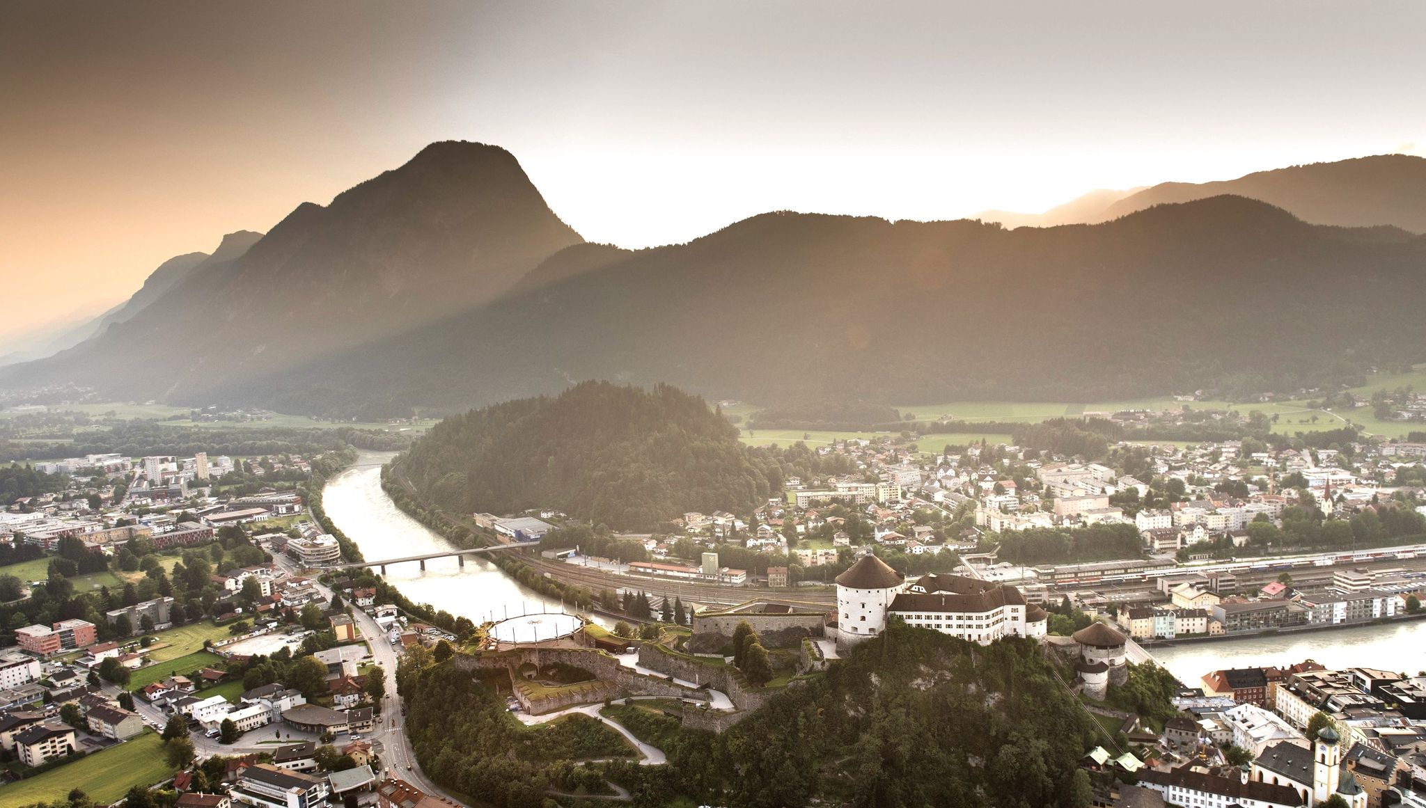
7 day hikes in the idyllic Kaiser Mountains – Kufsteinerland in Austria
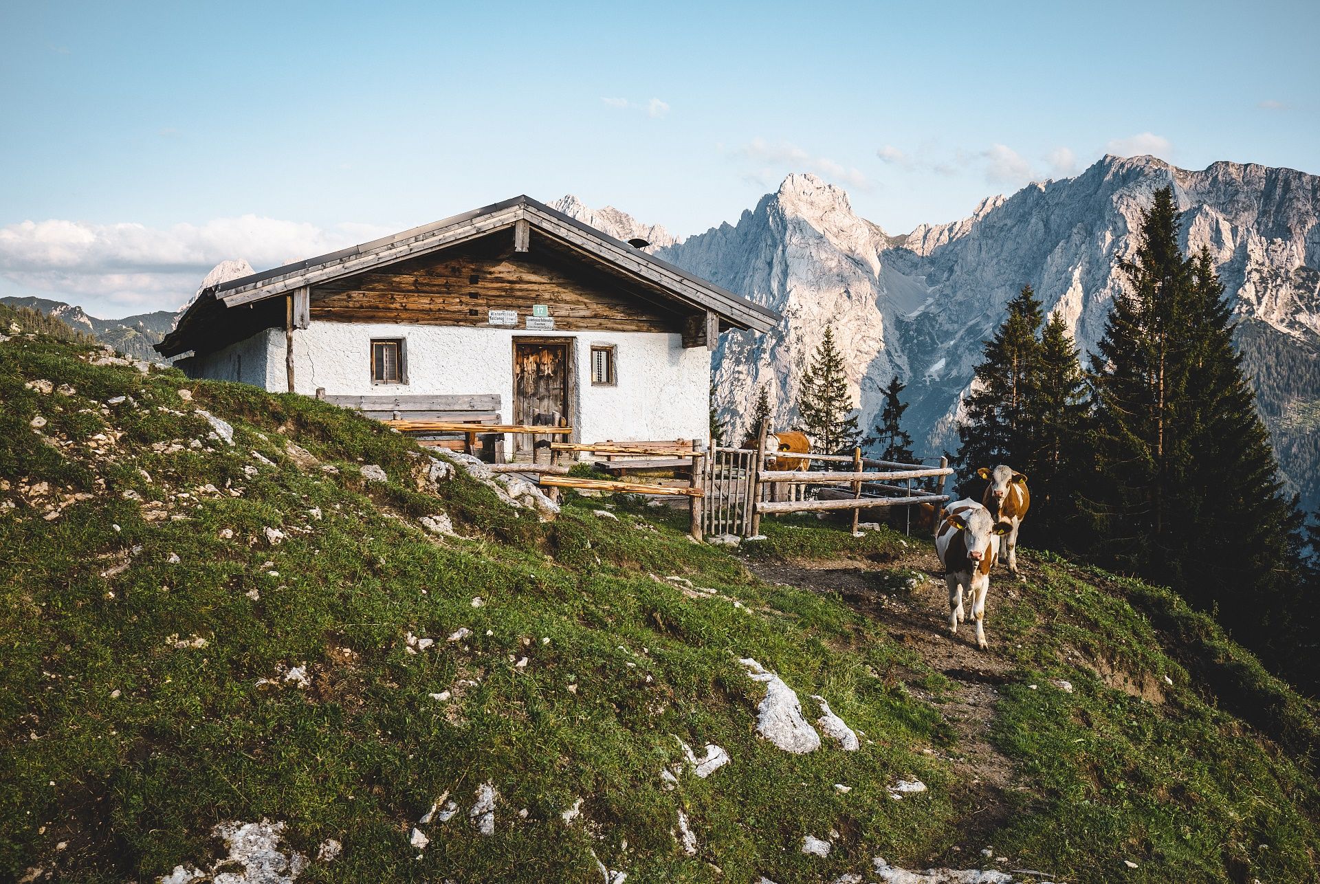
Mountain hut pleasures in autumn – hiking in Kufsteinerland
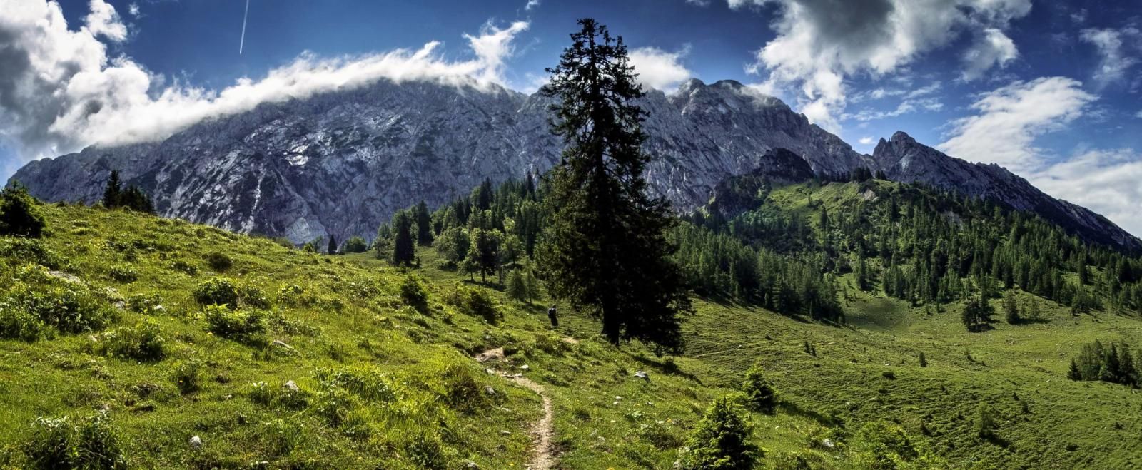
Mountain hut pleasures — hiking in Kufsteinerland
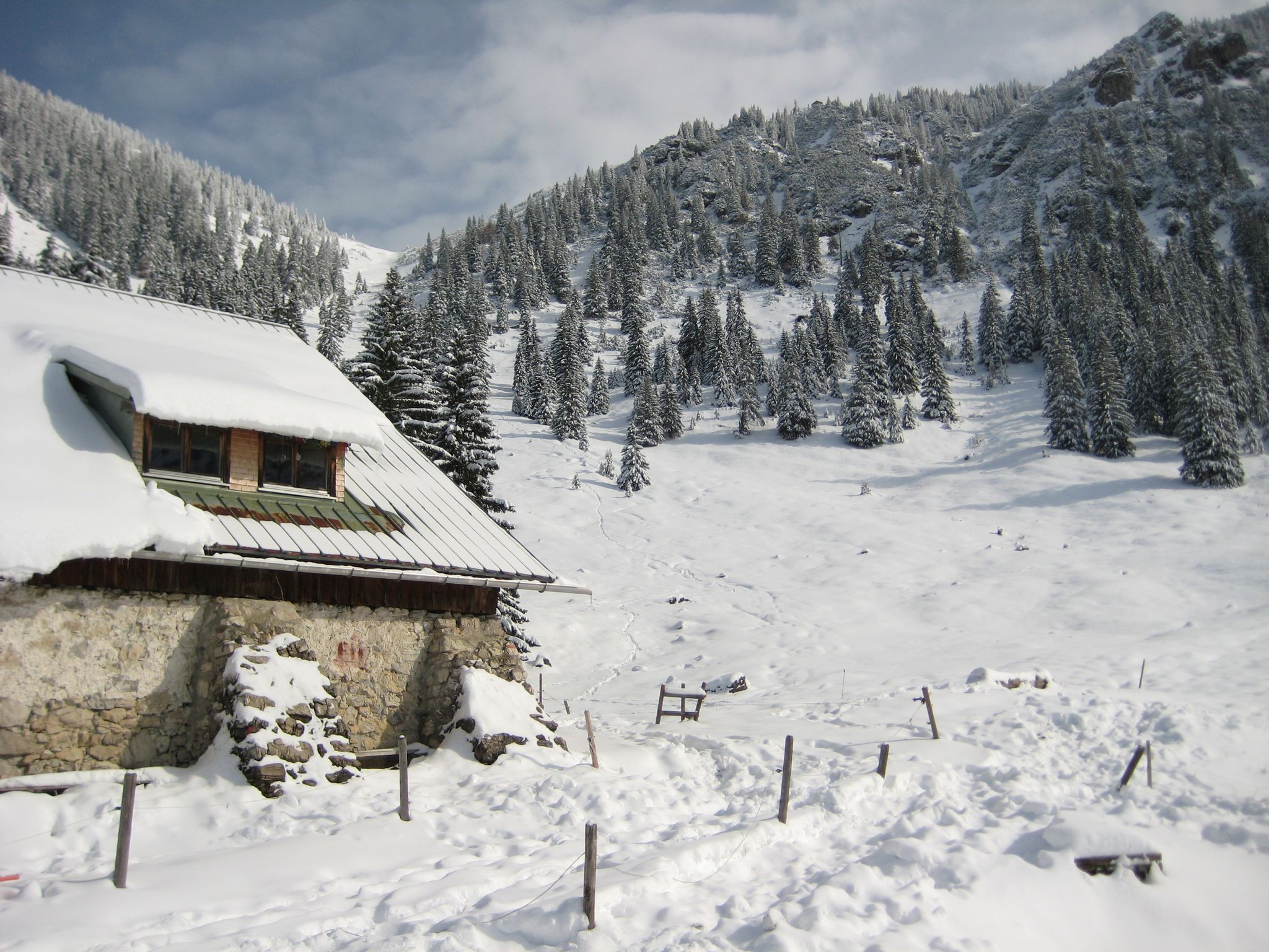
Southern Germany — mountain lodges for the cold season
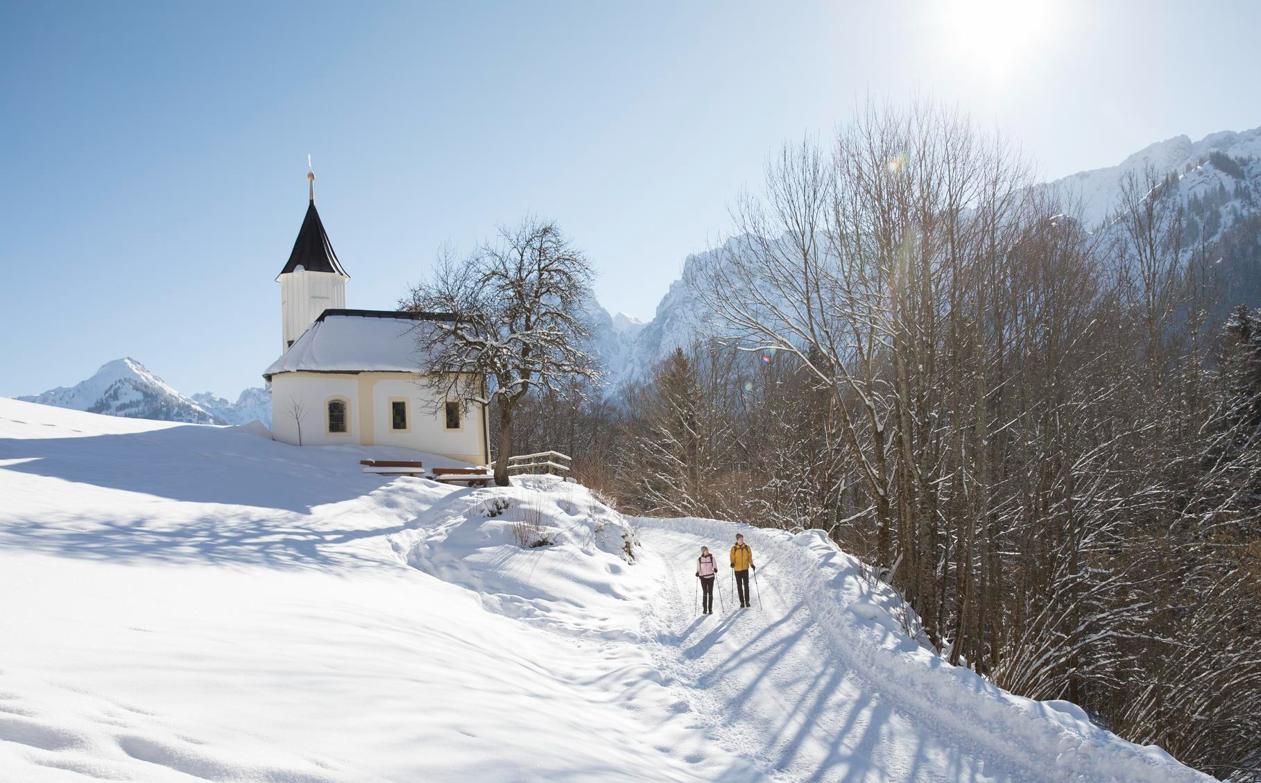
Winterliche Auszeiten – Sanfte Wanderungen & Genussmomente im Kufsteinerland
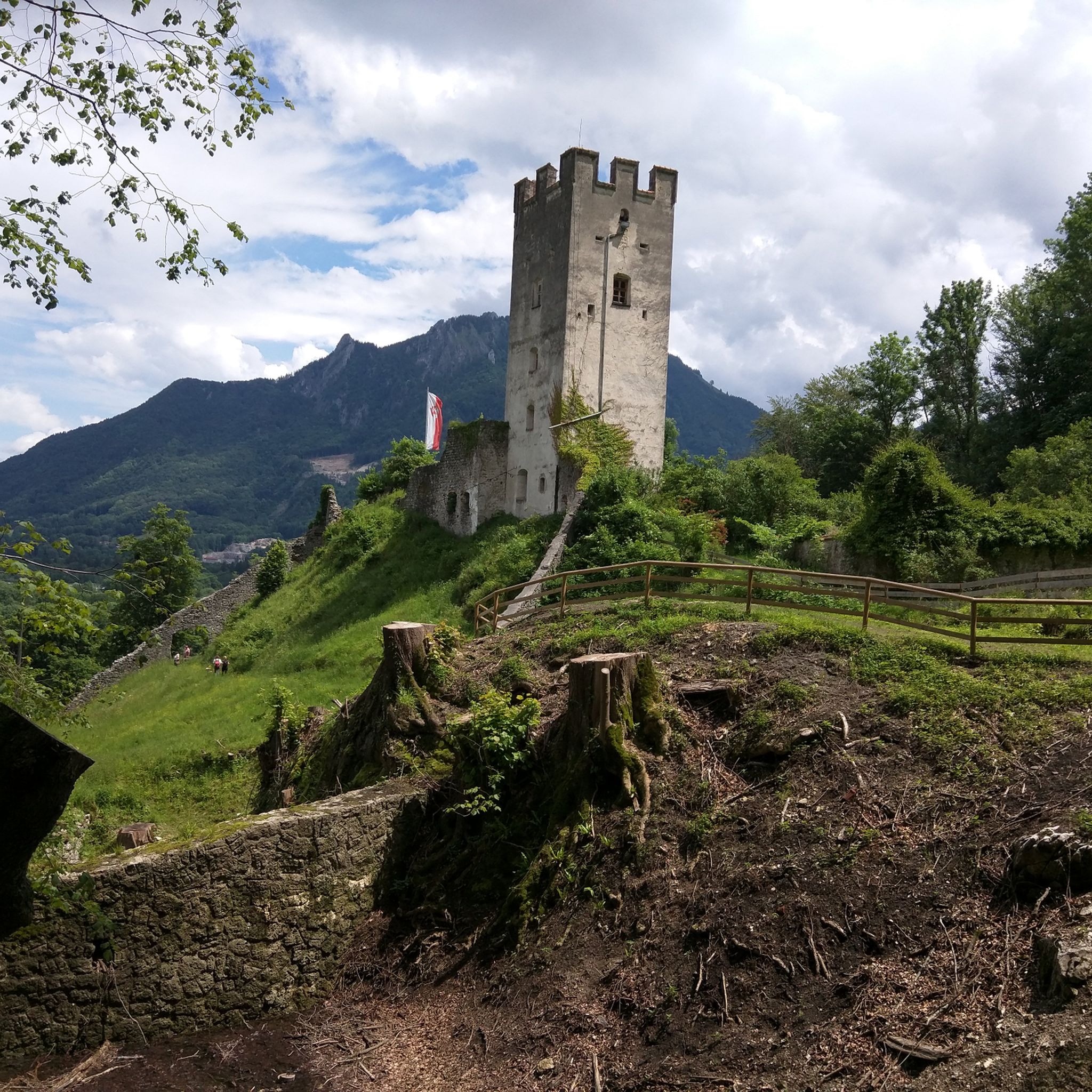
Hiking around Erl
Other adventures around Erl


Tips from the Community


The Dreibrunnenjoch is a wooded mountain saddle in the Brandenberg Alps, located between Vorderthiersee and Stimmersee. It is a beautiful route from the Inn Valley to Pendling and the Kala Alm. It is often used on foot or by bike.
1
0

Beautiful scenery along the shore
0
0

There is now a new cycle path here. The old path was also renovated.
2
0

View of the fortress tower
2
0

Wonderful view of the Kufstein fortress from the bridge over the Inn
1
0

The Kranzhorn and the opposite Wildbarren formed the gateway to the Inn Valley Glacier during the Würm Ice Age. On the German side, the mountain belongs to the municipality of Nußdorf am Inn in the Rosenheim district, and on the Austrian side to the municipality of Erl in the Kufstein district. Since 1504, the border between Bavaria and Austria has run through the middle of the summit plateau. The border was definitively established in 1670, and some of the boundary stones can still be found next to the hiking trails. The summit of the mountain therefore bears two summit crosses and is visible from afar in the Inn Valley. Source: https://de.wikipedia.org/wiki/Kranzhorn
0
0

Frequently Asked Questions
How many mountain bike trails are available around Erl?
There are over 470 mountain bike trails around Erl, offering a wide variety of routes for different skill levels. This includes approximately 80 easy, over 200 moderate, and nearly 180 difficult trails.
What kind of terrain can I expect on mountain bike trails in Erl?
Mountain biking in Erl features diverse terrain, from wide forest roads and flowing forest paths to rocky single trails. The region's Alpine landscape, including the Kaiser Mountains, provides varied elevations and challenges, often with rewarding panoramic views.
Are there any family-friendly mountain bike trails in Erl?
While many trails in Erl are moderate to difficult, there are approximately 80 easy routes available. These trails are generally less demanding, making them suitable for families or those looking for a more relaxed ride. Look for routes with lower elevation gains and smoother paths.
Can I find mountain bike trails that are circular routes in Erl?
Yes, many mountain bike trails around Erl are designed as circular routes, allowing you to start and finish at the same point. An example of a challenging loop is the View from Zimmerau to Wall – Lake Bichler loop from Oberaudorf, which covers 28.7 km with significant elevation.
What are some notable natural features or landmarks I can see while mountain biking in Erl?
The region around Erl is rich in natural beauty and landmarks. You can encounter dramatic mountain scenery, including the Kaiser Mountains. The Giessenbach Gorge is an accessible natural monument, and the Tatzelwurm Waterfalls are another impressive sight. Some routes, like the View of Gießenbach Gorge – View of the Kaiser Mountains loop from Oberaudorf, specifically highlight these features.
Are there any mountain bike trails that pass by waterfalls?
Yes, some routes in the Erl area will take you past beautiful waterfalls. For example, the difficult View from Zimmerau to Wall – Tatzelwurm Waterfall loop from Oberaudorf, a 35.8 km trail, includes the impressive Tatzelwurm Waterfalls along its path.
What do other mountain bikers say about the trails in Erl?
The mountain bike trails in Erl are highly regarded by the komoot community, with an average rating of 4.6 stars from over 7,000 reviews. Riders often praise the stunning Alpine scenery, the diverse mix of forest paths and single trails, and the challenging nature of many routes.
Are there mountain bike routes in Erl that include stops at alpine huts or inns?
Yes, several mountain bike routes in the Erl area offer opportunities to stop at cozy alpine huts or mountain inns for rest and refreshment. The Altkaser Alpine Hut – Route to Spitzstein loop from Erl is a challenging 23.0 km trail that passes by the Altkaser Alpine Hut. Another option is the moderate View from Zimmerau to Wall – Hummelei Mountain Inn loop from Oberaudorf.
What is the best time of year for mountain biking in Erl?
The best time for mountain biking in Erl is typically from spring through autumn. During these seasons, the weather is generally more favorable, and trails are clear of snow, offering optimal conditions to enjoy the diverse terrain and panoramic views of the Alpine landscape.
Are there any historical sites or castles accessible near the mountain bike trails?
While the trails themselves focus on natural landscapes, the broader region around Erl has several historical sites. You can find castles like Kufstein Fortress, Falkenstein Castle Ruins, and Hohenaschau Castle in the vicinity, offering cultural points of interest to explore before or after your ride.
What are the typical distances and elevation gains for mountain bike trails in Erl?
The trails around Erl vary significantly in length and elevation. Distances can range from shorter, easier loops to longer, more challenging routes exceeding 30 km. Elevation gains on difficult trails often surpass 800 meters, with some reaching over 1,300 meters, providing substantial climbs and descents.
Most popular attractions around Erl

Get inspired with the komoot mobile app


Explore more
Browse the best MTB trails in other regions.
