The best walks and hikes around Walliswil bei Wangen
4.6
(1309)
8,804
hikers
561
hikes
Hiking around Walliswil bei Wangen offers diverse landscapes, situated at an elevation of 456 meters (1,496 ft) above sea level. The region is characterized by its northern boundary along the Aare River, extensive forests like Humpergwald and Bergwald, and hills such as Langimoos. A significant portion of the municipality, over a third, is covered by woodlands, providing varied terrain for outdoor exploration. The high plateau is also a moraine wall, adding a geological feature to the hiking experience.
Best hiking…
Last updated: June 27, 2026
4.5
(26)
157
hikers
Easy hike. Great for any fitness level. Easily-accessible paths. Suitable for all skill levels.
4.0
(1)
18
hikers
5.37km
01:22
20m
20m
Easy hike. Great for any fitness level. Easily-accessible paths. Suitable for all skill levels.

Sign up for free
4.0
(1)
17
hikers
2.19km
00:34
20m
20m
Easy hike. Great for any fitness level. Easily-accessible paths. Suitable for all skill levels.
4
hikers
Moderate hike. Good fitness required. Easily-accessible paths. Suitable for all skill levels.
3.0
(1)
8
hikers
3.74km
00:59
30m
30m
Easy hike. Great for any fitness level. Easily-accessible paths. Suitable for all skill levels.
Get access to more routes and recommendations from other explorers.
Sign up for free
Already have an account?
Our route recommendations are based on thousands of hikes, rides, and runs completed by other people on komoot.
Start today with a free account
Your next adventure awaits.
Login or Signup
Tips from the Community


Besides the old wooden bridge, the Salt House is probably the most mentioned building in Wangen an der Aare
0
0
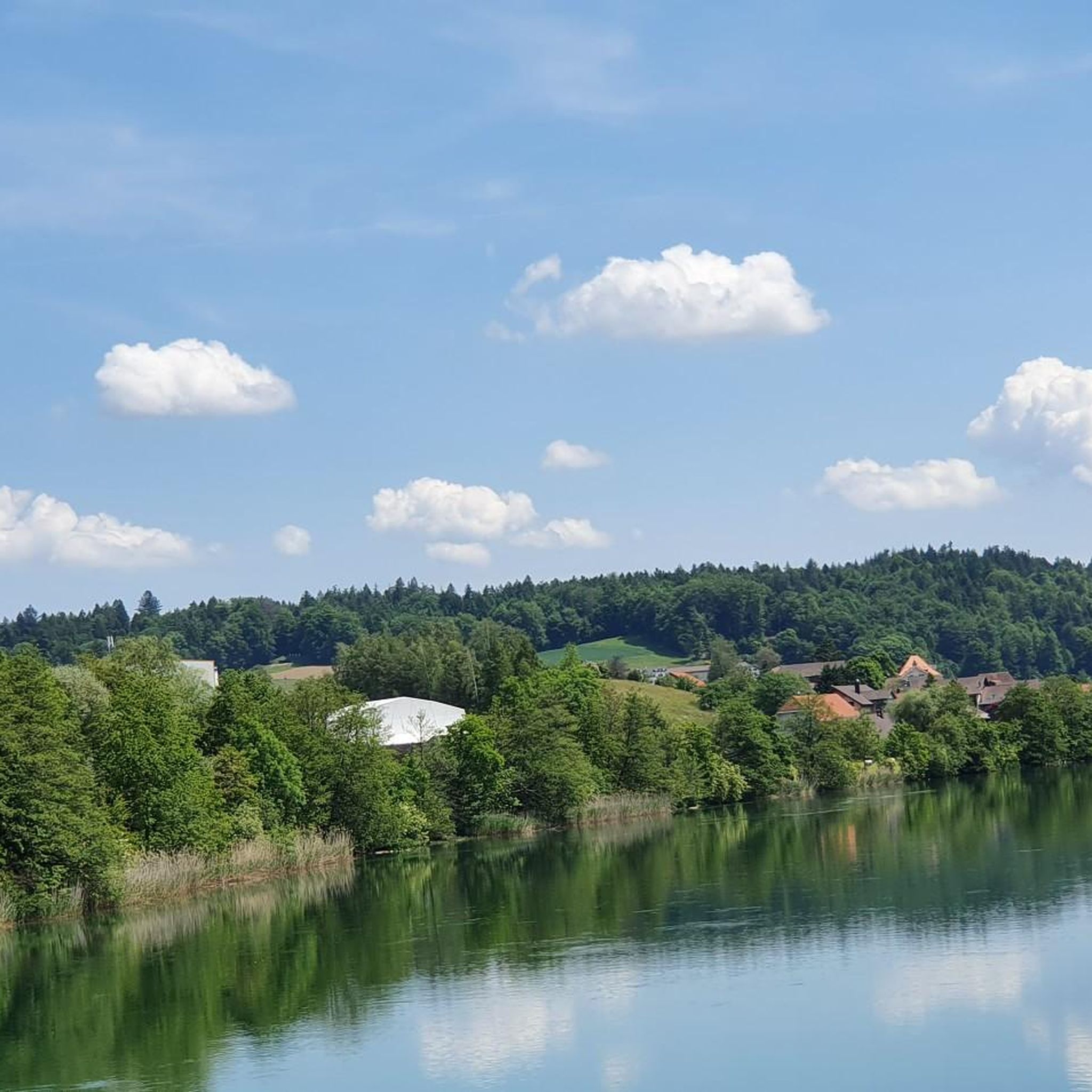
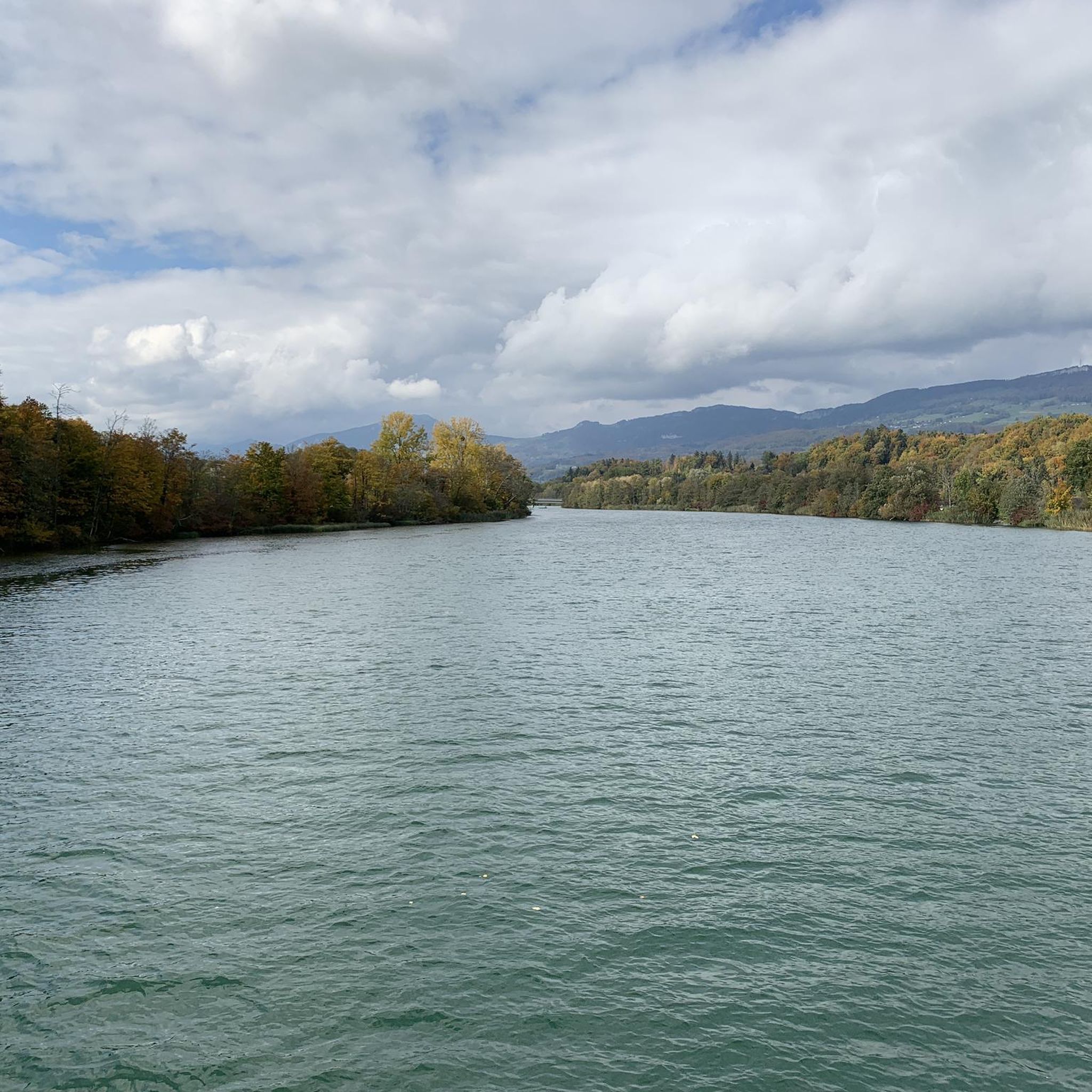
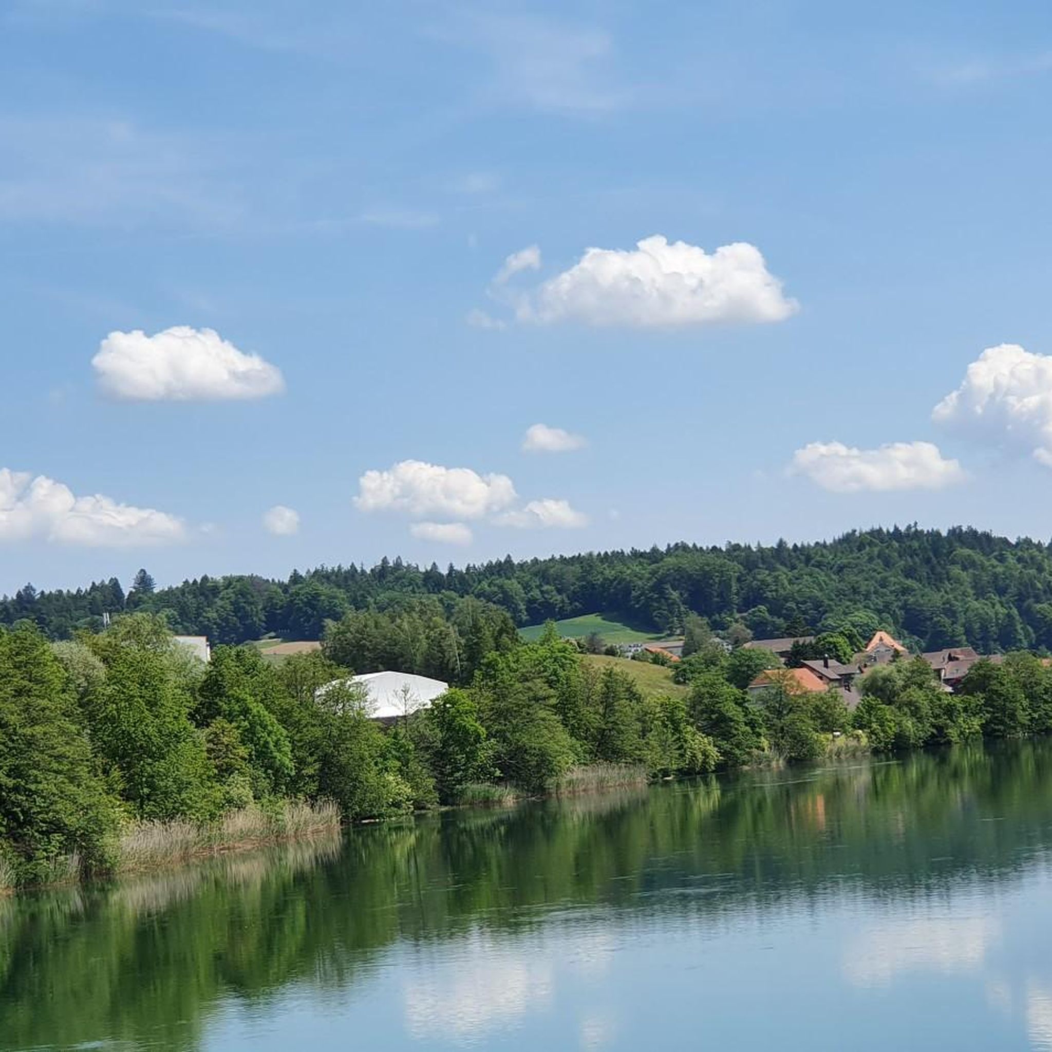
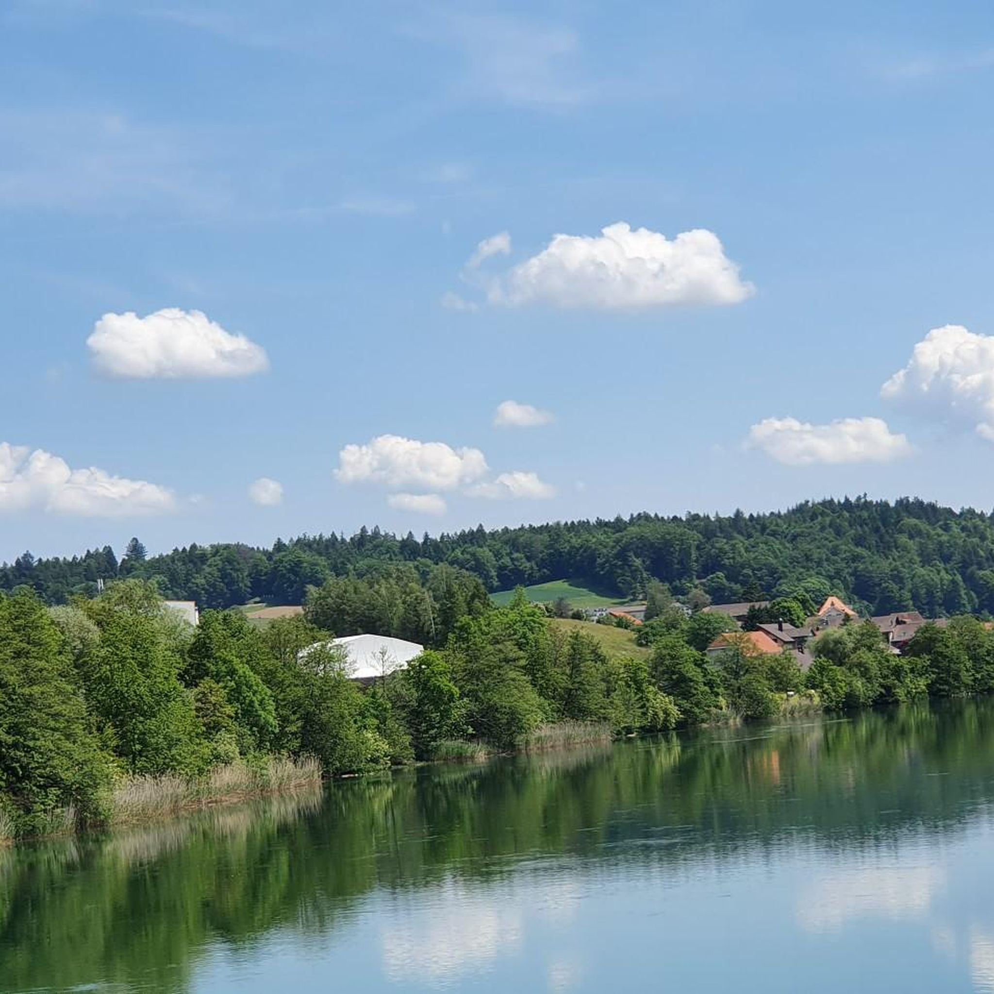
From the jetty, the wide Aare River is reminiscent of the Amazon. At each end, there are seating areas for relaxing breaks. A spacious barbecue area also invites you to enjoy a fiery barbecue.
0
0
On warm, sunny days (usually between spring and summer), the small open-air restaurant behind the power plant is open. In addition to a magnificent landscape, it offers plenty of space to linger. A fantastic selection of solid and liquid delights will make hikers' hearts beat faster. You can even leave your backpack at home for a change. The restaurant has several Toi Toi restrooms.
1
0

Beautiful garden restaurants for a cozy coffee break.
0
0

Nice if you want it without a big climb
1
0

A very beautiful, admirable river. With many swimming opportunities that are very worthwhile.
1
0
Frequently Asked Questions
How many hiking trails are available in Walliswil bei Wangen?
Walliswil bei Wangen offers a wide selection of hiking opportunities, with nearly 600 routes recorded on komoot. These range from easy riverside strolls to more challenging forest climbs, ensuring options for all fitness levels.
What types of landscapes can I expect to see while hiking in Walliswil bei Wangen?
The region boasts diverse landscapes, including paths along the Aare River, extensive forests like Humpergwald and Bergwald, and varied hills such as Langimoos. You'll also encounter a high plateau that is a moraine wall, adding a unique geological feature to your hike.
Are there any easy, short hikes suitable for beginners or a quick outing?
Yes, there are many easy routes. For a quick and accessible option, consider the Walliswilsteg loop from Walliswil bei Niederbipp, an easy 2.2 km trail that typically takes around 34 minutes to complete.
What do other hikers enjoy most about the trails in Walliswil bei Wangen?
The trails in Walliswil bei Wangen are highly rated by the komoot community, with an average score of 4.6 stars from over 1,100 reviews. Hikers often praise the varied terrain, from peaceful riverside paths along the Aare to tranquil forest sections, and the well-maintained routes suitable for different abilities.
Are there any circular hiking routes in the area?
Yes, many routes in Walliswil bei Wangen are circular, allowing you to start and end at the same point. An example is the Badi Wangen an der Aare – Walliswilsteg loop from Walliswil bei Niederbipp, an easy 6.1 km loop that follows the Aare River.
What natural attractions can I discover along the hiking trails?
Hikers can explore the scenic Aare River, which forms the northern boundary of the municipality, and the confluence of the Önz into the Aare. The extensive forests, including Humpergwald and Bergwald, also offer beautiful natural settings. You might also encounter the geological feature of a moraine wall on the high plateau.
Are there any interesting landmarks or points of interest near the hiking routes?
Absolutely. A notable landmark is the Wangen an der Aare Covered Wooden Bridge in the nearby district capital. You can also visit the Emmenspitz – Confluence of the Emme and Aare, or explore the historical Ruins of Neu-Falkenstein Castle, which are accessible from the area.
Are there any moderate hikes for those looking for a bit more challenge?
For a moderate challenge, consider the Confluence of the Önz and the Aare – Walliswilsteg loop from Walliswil bei Niederbipp. This 10.2 km path explores the confluence of the Önz into the Aare, offering riverside scenery and a bit more elevation gain.
Are there places to rest or eat along the trails?
While hiking, you might find opportunities to stop at places like the Hofbergli Mountain Restaurant or the Apotheker forest hut with barbecue area. Additionally, a small open-air restaurant behind the Bannwil Hydroelectric Power Plant is open during warmer months, providing a scenic spot to relax.
What is the best time of year to go hiking in Walliswil bei Wangen?
Walliswil bei Wangen offers enjoyable hiking experiences throughout much of the year. Spring and autumn provide pleasant temperatures and beautiful scenery, especially with the changing colors of the extensive forests. Summer is ideal for riverside walks along the Aare, while winter can offer serene, snow-dusted landscapes, though some trails might require appropriate gear.
Are there any trails that follow the Aare River?
Yes, the Aare River forms the northern boundary of Walliswil bei Wangen, and many trails run alongside it. The Aare River Tour – Walliswilsteg loop from Berken is an easy 3.7 km route that offers pleasant riverside walking.
Most popular routes around Walliswil bei Wangen
Most popular attractions around Walliswil bei Wangen

Get inspired with the komoot mobile app


Explore more
Browse the best Hikes in other regions.
