The best road cycling routes around Walkertshofen
4.6
(65)
1,013
riders
88
rides
Road cycling around Walkertshofen features a network of routes traversing the region's varied landscape. The area is characterized by gently rolling terrain with some moderate climbs, often passing through agricultural fields and small villages. Many routes utilize well-maintained asphalt paths, providing smooth surfaces for road bikes. Elevations typically range from minor undulations to hills under 200 meters, with some routes accumulating over 400 meters of ascent.
Best road cycling routes around Walkertshofen
- The most popular road cycling route is Angelberg…
Last updated: July 3, 2026
17
riders
54.7km
02:21
420m
420m
Moderate road ride. Good fitness required. Mostly well-paved surfaces and easy to ride.
15
riders
32.5km
01:21
200m
200m
Easy road ride. Great for any fitness level. Mostly well-paved surfaces and easy to ride.

Sign up for free
4.5
(2)
20
riders
57.8km
02:28
460m
460m
Moderate road ride. Good fitness required. Mostly well-paved surfaces and easy to ride.
12
riders
Easy road ride. Great for any fitness level. Mostly well-paved surfaces and easy to ride.
3
riders
59.9km
02:28
390m
390m
Moderate road ride. Good fitness required. Mostly well-paved surfaces and easy to ride.
Get access to more routes and recommendations from other explorers.
Sign up for free
Already have an account?
Our route recommendations are based on thousands of hikes, rides, and runs completed by other people on komoot.
Start today with a free account
Your next adventure awaits.
Login or Signup
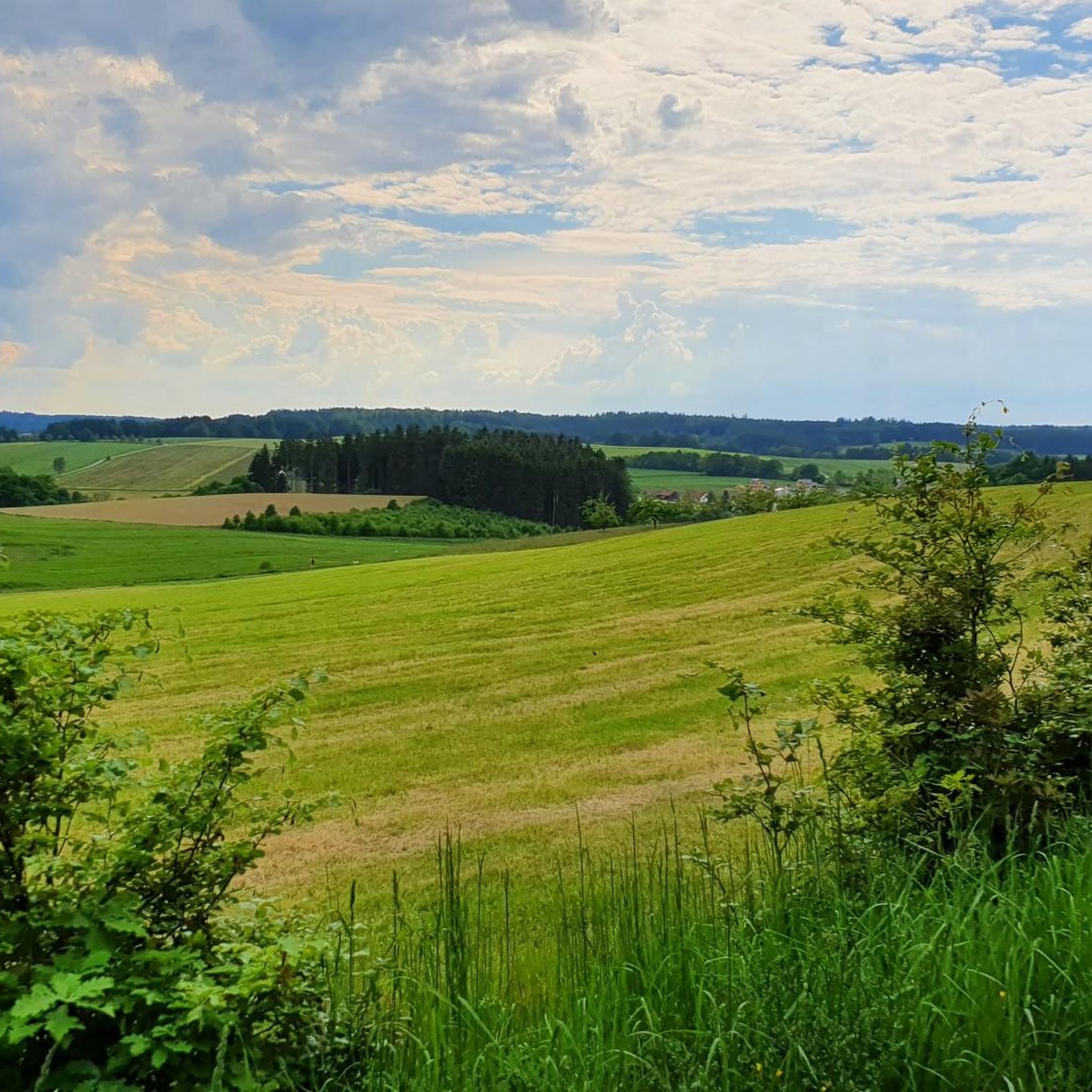
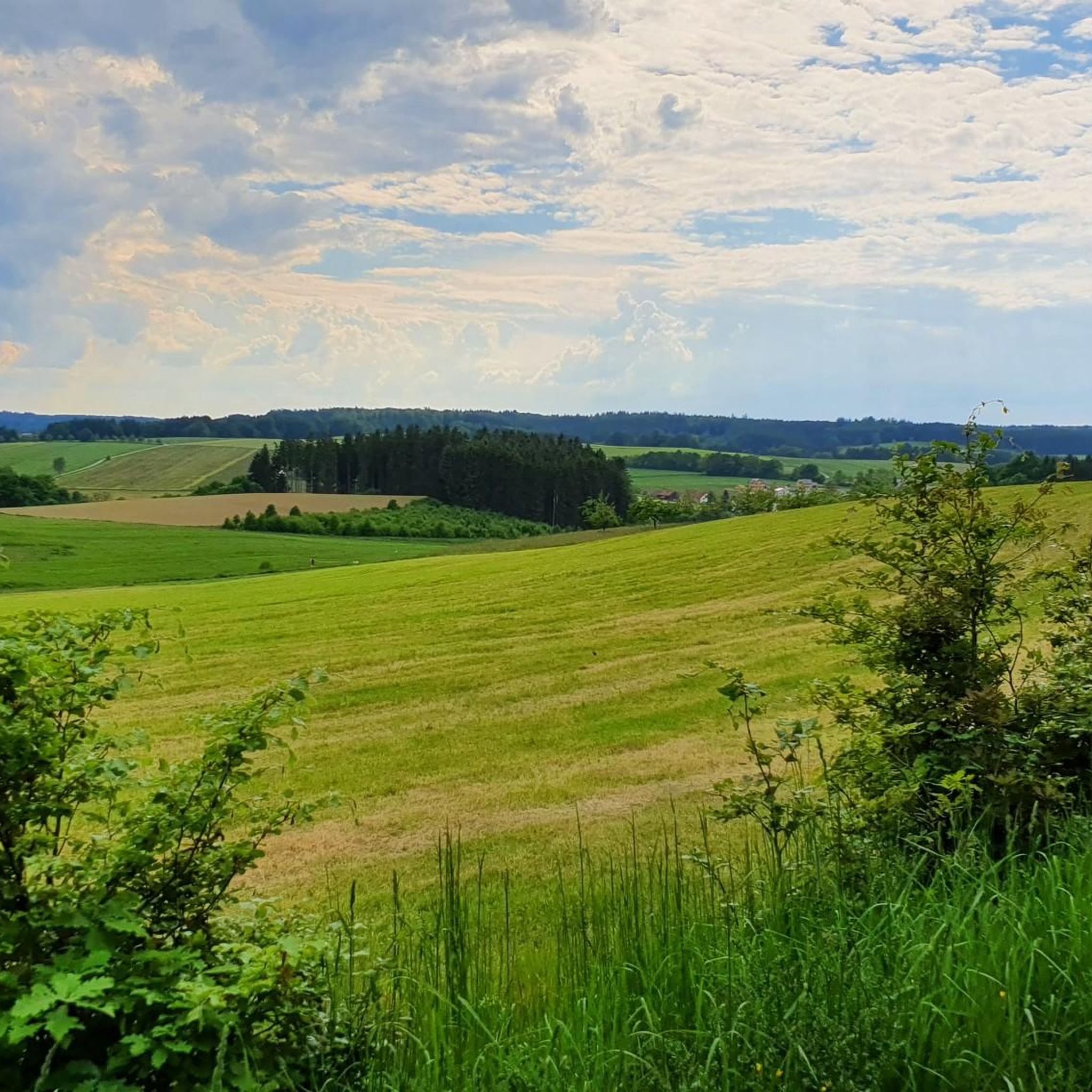
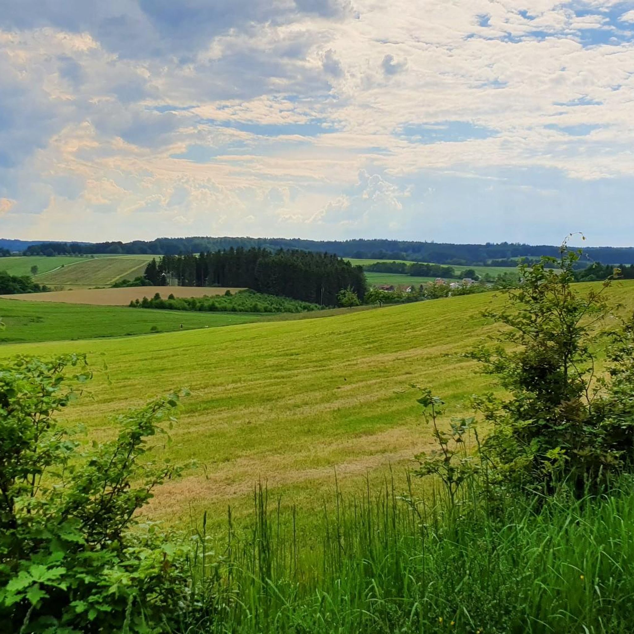
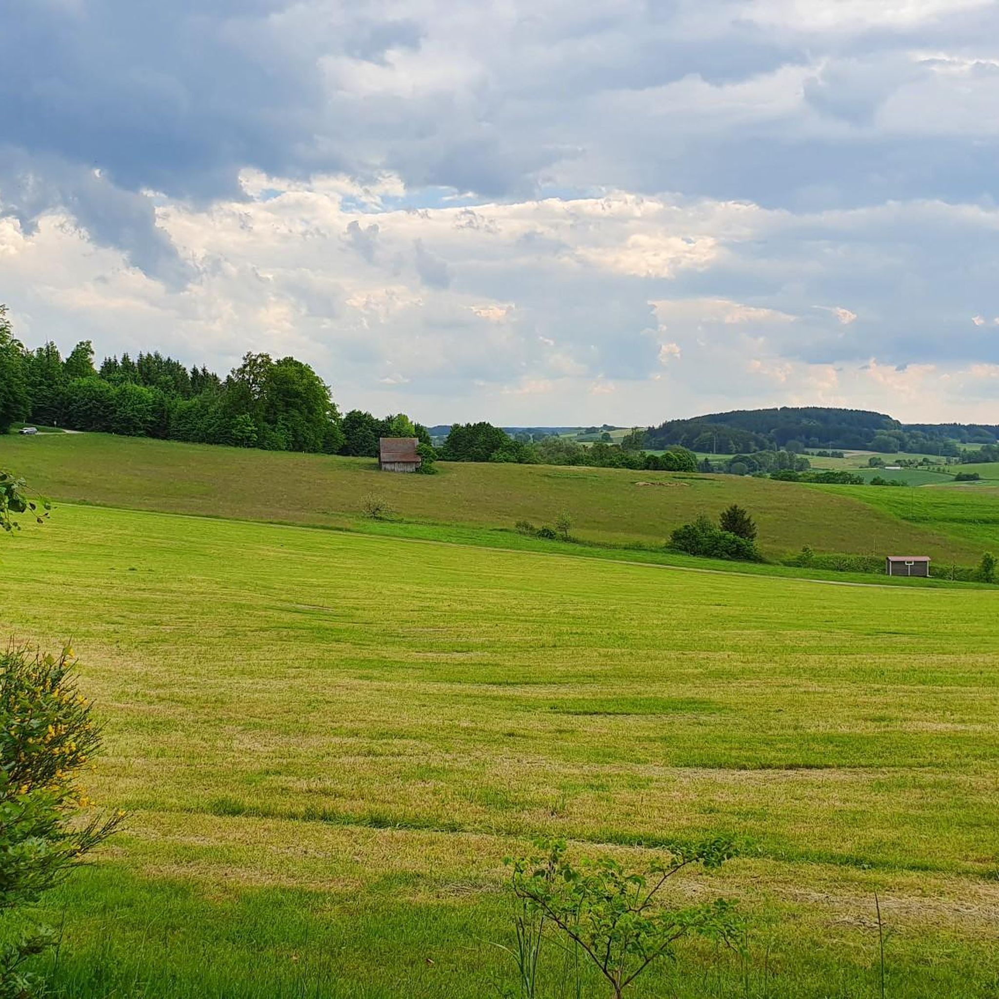

Tips from the Community

Right next to the country road, but some people still take the risk and don't ride on the bike path!
1
0

There doesn't seem to be much traffic here, so relax and then move on.
0
0
Nice center with a variety of possibilities ;-)
0
0

I think the descent from Hellersberg to Muttershofen is great. Once you've ridden the lonely, easy-to-ride "small pass" from Memmenhausen, the view and the descent are the reward!
0
0

Unfortunately you won't find an open cafe anywhere in town
2
0


Rolls and rolls and rolls… you never have to get off the aerobars 😉
0
0

Bulging root in tar has been repaired!!!
0
0
Frequently Asked Questions
How many road cycling routes are available around Walkertshofen?
There are over 80 road cycling routes around Walkertshofen documented on komoot, offering a wide range of options for different skill levels and preferences.
What kind of terrain can I expect on road cycling routes near Walkertshofen?
The region features gently rolling terrain with some moderate climbs, often passing through agricultural fields and small villages. Many routes utilize well-maintained asphalt paths, providing smooth surfaces for road bikes. Elevations typically range from minor undulations to hills under 200 meters, with some routes accumulating over 400 meters of ascent.
Are there easy road cycling routes suitable for beginners or families in Walkertshofen?
Yes, Walkertshofen offers several easy routes. For instance, the Asphalt Bike Path Thannhausen – Ursberg Monastery loop from Aichen is an easy 32.5 km path following an asphalt bike path with minimal elevation changes, perfect for a relaxed ride. Another easy option is the Asphalt Bike Path Thannhausen – Town Hall Square Thannhausen loop from Aichen, which is 27.5 km long.
What are some challenging road cycling routes for experienced riders?
For those seeking more challenge, routes like the Angelberg – Jakob Kleiber Linden Tree loop from Walkertshofen offer over 400 meters of elevation gain over 54.6 km. The Roadbike loop from Walkertshofen is another moderate option, covering 57.8 km with over 450 meters of ascent through the local countryside.
Are there any scenic viewpoints or attractions along the road cycling routes?
Yes, the routes often pass through picturesque rural landscapes. You might encounter historical sites like the Fugger Castle, Kirchheim or the Elmischwang Castle. For a peaceful stop, consider the Schnerzhofer Weiher lake or the Scheppach Chapel.
What is the best time of year to go road cycling in Walkertshofen?
The best time for road cycling in Walkertshofen is typically from spring to autumn, when the weather is mild and the roads are clear. The region experiences pleasant conditions for cycling during these seasons, allowing riders to enjoy the rural landscapes and asphalt paths.
Are there loop routes available for road cyclists?
Yes, many of the road cycling routes around Walkertshofen are designed as loops, allowing you to start and end at the same point. Examples include the popular Angelberg – Jakob Kleiber Linden Tree loop from Walkertshofen and the Asphalt Bike Path Thannhausen – Ursberg Monastery loop from Aichen.
What do other road cyclists enjoy most about road cycling in Walkertshofen?
The area is highly rated by the komoot community, with an average score of 4.6 stars from over 50 reviews. Riders often praise the well-maintained asphalt paths, the gently rolling hills, and the peaceful rural landscapes that define the region's cycling experience.
Are there options for refreshments or cafe stops along the routes?
While specific cafe stops are not detailed for every route, the routes often pass through small villages where you can find local establishments. For example, the Klosterbräuhaus Ursberg Beer Garden is a notable spot near some routes, offering a place to relax and refuel.
Is there public transport access to the road cycling routes in Walkertshofen?
Walkertshofen is a rural area, and while local bus services connect some villages, direct public transport access specifically for starting road cycling routes might be limited. It's generally recommended to plan your starting point with personal transport or check local bus schedules for specific route access points.
Where can I find parking for road cycling routes in Walkertshofen?
Many routes start from or pass through villages like Walkertshofen or Aichen, where you can typically find public parking options. It's advisable to check the specific starting point of your chosen route for available parking facilities.
How long do road cycling routes in Walkertshofen typically take to complete?
Route durations vary depending on length and elevation. Easy routes like the 32.5 km Asphalt Bike Path Thannhausen – Ursberg Monastery loop from Aichen can take around 1 hour 20 minutes. Longer, moderate routes such as the 54.6 km Angelberg – Jakob Kleiber Linden Tree loop from Walkertshofen typically require about 2 hours 20 minutes.
Most popular routes around Walkertshofen
Most popular attractions around Walkertshofen

Get inspired with the komoot mobile app


Explore more
Browse the best Road cycling routes in other regions.
