The best walks and hikes around Waldlaubersheim
4.6
(19460)
74,294
hikers
1,143
hikes
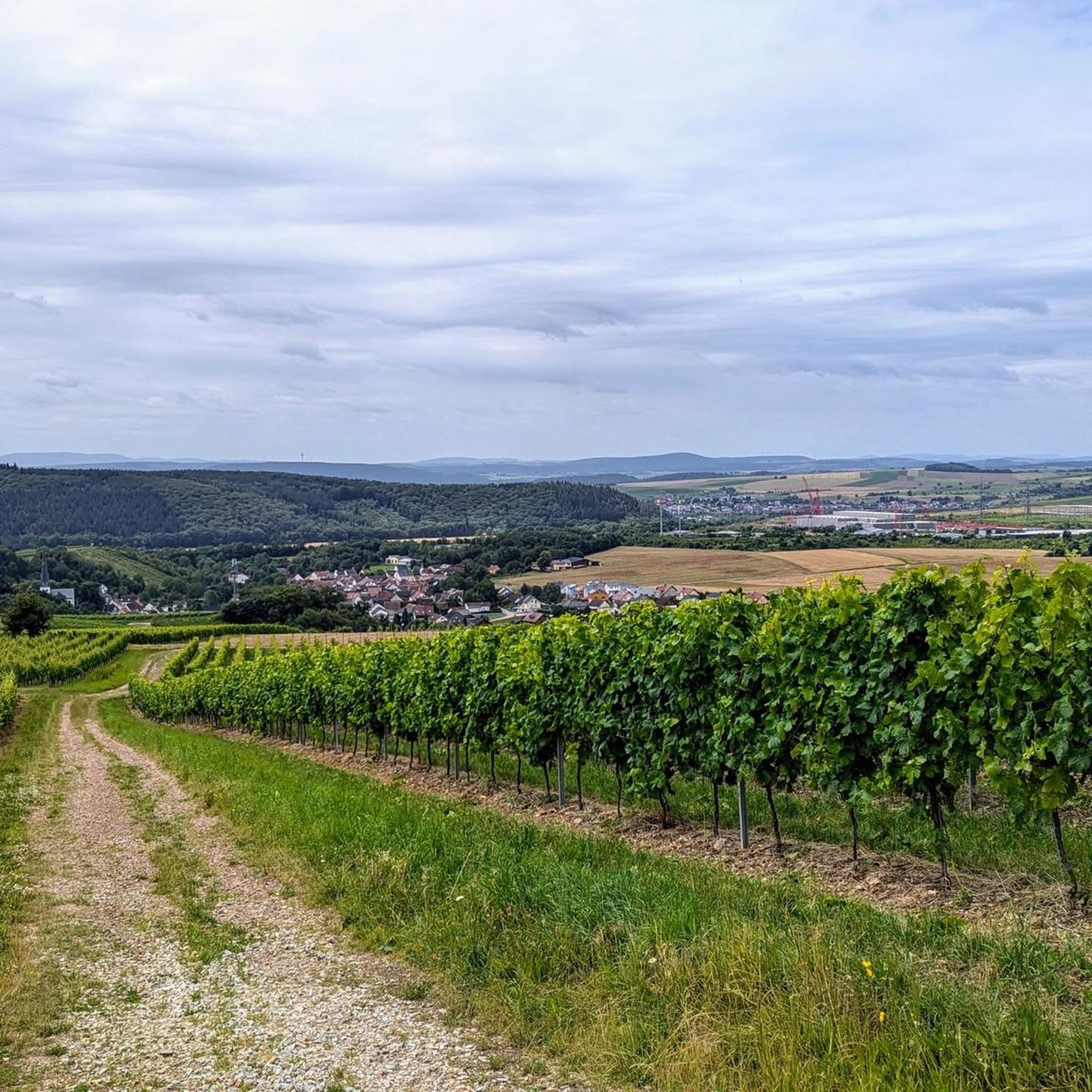
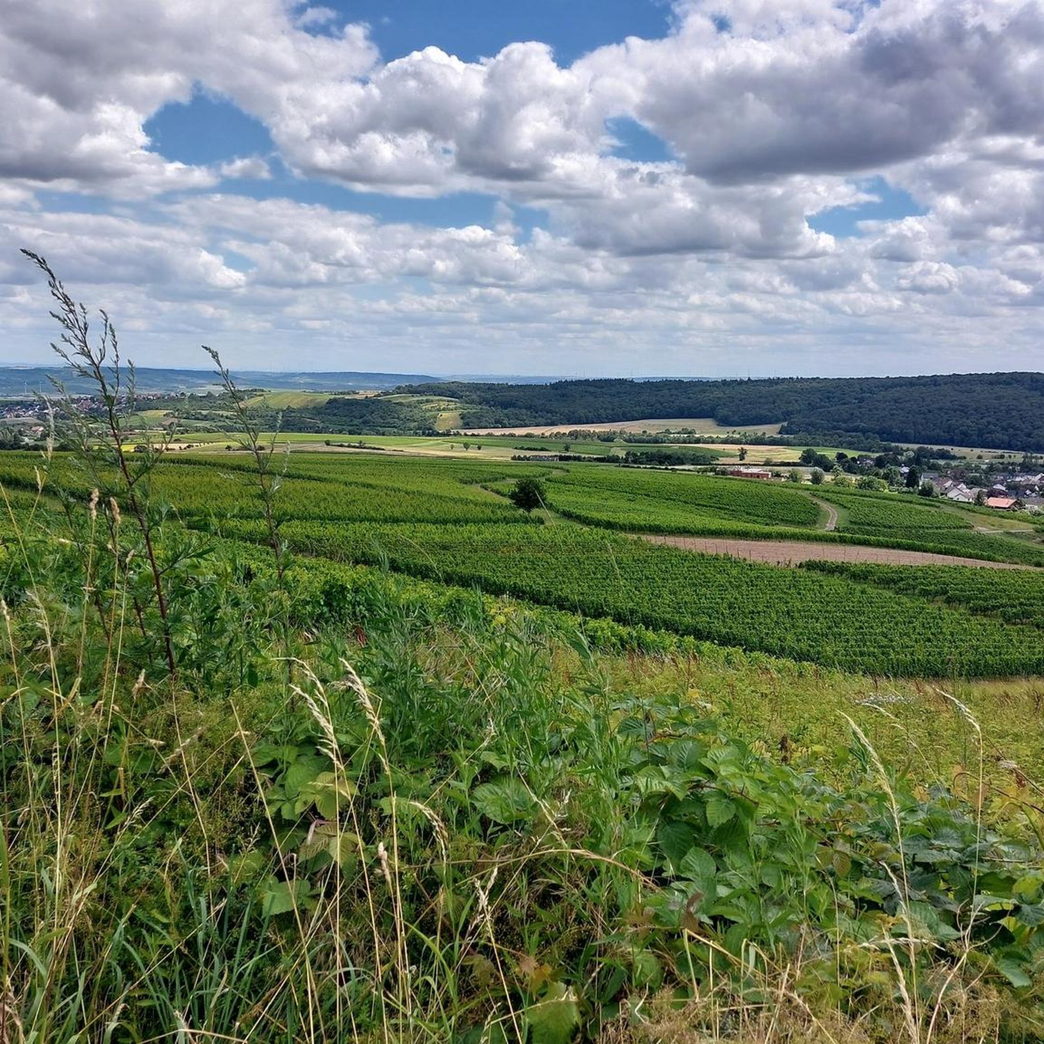
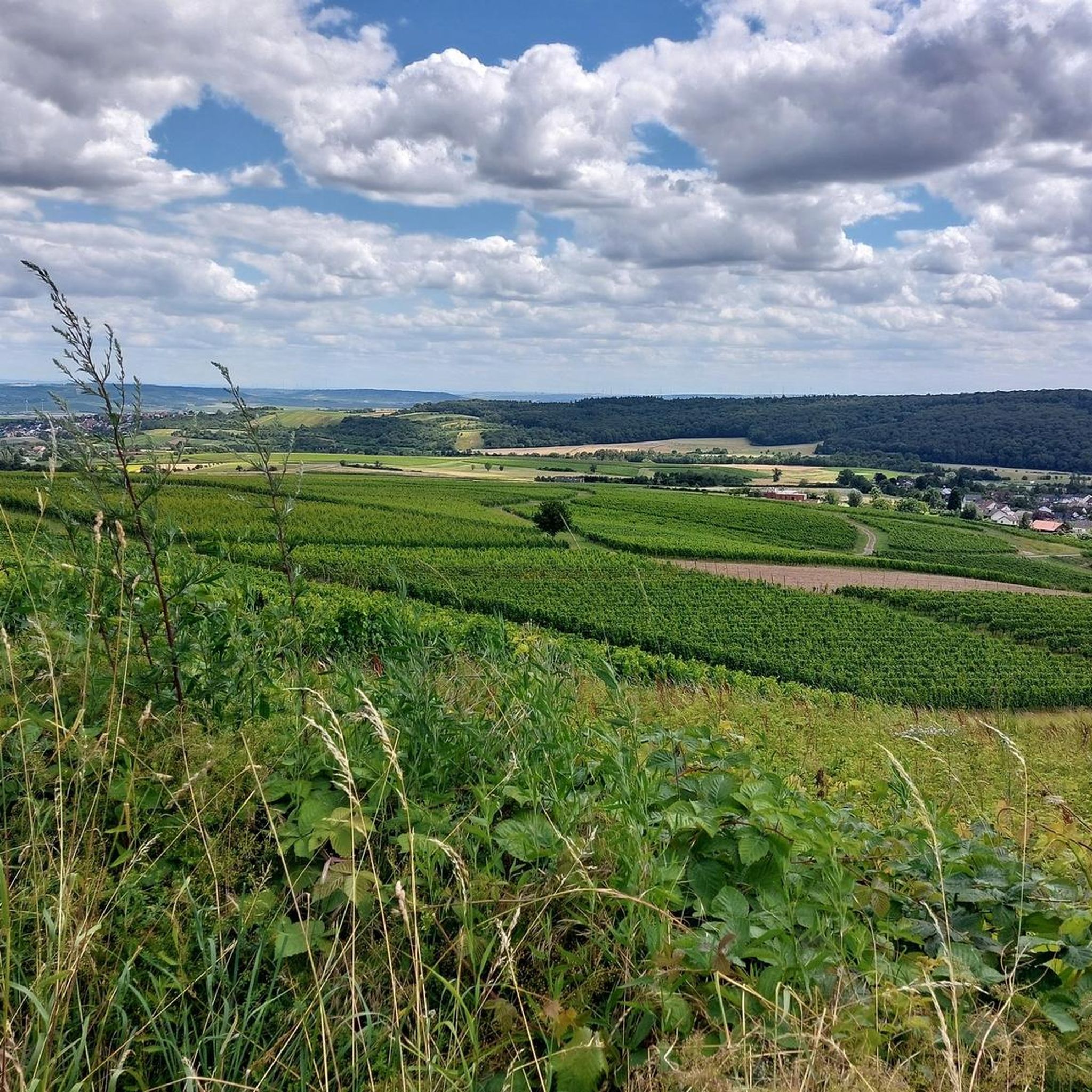
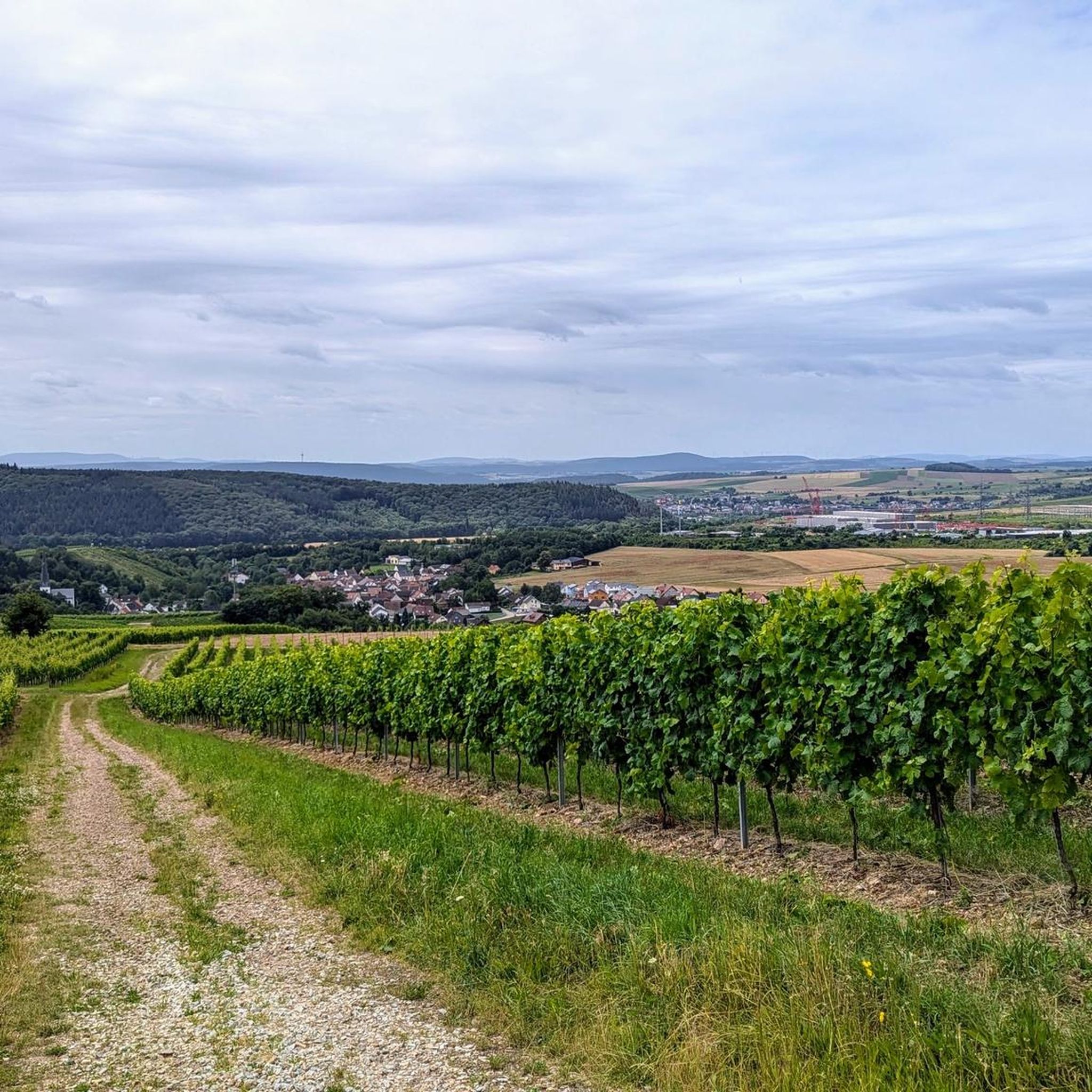
Hiking around Waldlaubersheim offers diverse landscapes characterized by gentle hills, dense forests, and extensive vineyards. The region is situated between the Rhine and Nahe rivers, at the foot of the Hunsrück mountains. This geographical position provides varied terrain, from tranquil river valleys to elevated viewpoints. The area's natural features support a network of trails suitable for different hiking experiences.
Best hiking trails around Waldlaubersheim
- The most popular hiking route is Stromberg Gorge – Aumühle Campsite loop from Stromberg, a…
Last updated: July 1, 2026
4.4
(39)
181
hikers
19.3km
05:24
370m
370m
Hard hike. Very good fitness required. Easily-accessible paths. Suitable for all skill levels.
4.5
(11)
49
hikers
10.6km
03:04
260m
260m
Moderate hike. Good fitness required. Easily-accessible paths. Suitable for all skill levels.

Sign up for free
4.7
(6)
33
hikers
9.70km
02:47
240m
240m
Moderate hike. Good fitness required. Easily-accessible paths. Suitable for all skill levels.
4.7
(74)
310
hikers
16.7km
04:45
370m
370m
Moderate hike. Good fitness required. Easily-accessible paths. Suitable for all skill levels.
4.5
(4)
29
hikers
11.6km
03:13
200m
200m
Moderate hike. Good fitness required. Easily-accessible paths. Suitable for all skill levels.
Get access to more routes and recommendations from other explorers.
Sign up for free
Already have an account?
Our route recommendations are based on thousands of hikes, rides, and runs completed by other people on komoot.
Start today with a free account
Your next adventure awaits.
Login or Signup

Tips from the Community

Beautiful, inexpensive campsite and nice restaurant
0
0

Beautiful little town in the Hunsrück region
0
0

Because they are testimonies to life – the stones, the structure.
0
0

beautiful old oak tree with seating
0
0

Beautiful lounge bench with a fantastic view!
1
0
A spacious rest area in the middle of the forest. Tables and benches are large enough for an entire hiking group.
1
0
The tour often runs along beautiful little forest paths, simply wonderful!
2
0
Nice view from above and there is also a bench to rest on ;-)
1
0
Frequently Asked Questions
How many hiking trails are available around Waldlaubersheim?
There are over 10 hiking trails around Waldlaubersheim, offering a range of experiences from easy strolls to moderate routes. The region's diverse landscape of gentle hills, dense forests, and vineyards ensures varied terrain for every hiker.
What kind of terrain can I expect on hikes in Waldlaubersheim?
Hikes in Waldlaubersheim feature a diverse landscape of gentle hills, dense forests, and picturesque vineyards. You'll find varied terrain, from tranquil river valleys along the Nahe to elevated viewpoints in the rolling hills at the foot of the Hunsrück mountains.
Are there any family-friendly hiking options in the area?
Yes, Waldlaubersheim offers family-friendly paths. For a unique experience, consider the Steckeschlääferklamm – Baumgeisterpfad, where children can discover over 60 carved 'forest spirits' along the Hasselbach stream. The region also features trails like the 'Kinderwanderpfad' designed for playful learning about nature.
What are the best seasons for hiking in Waldlaubersheim?
The best seasons for hiking in Waldlaubersheim are spring and autumn. In spring, the fields burst into vibrant green and wildflowers bloom, while autumn transforms the landscape into a colorful spectacle of foliage across the vineyards and forests.
Are there any circular hiking routes near Waldlaubersheim?
Yes, many routes in the area are circular. For example, the Forest Room Hunsrück – View of Rümmelsheim loop from Waldlaubersheim is a moderate 4.7-mile (7.6 km) trail that takes you through forest landscapes. Another option is the Shaded Bench by the Vineyard – Aumühle Campsite loop from Stromberg, an easy 3-mile (4.8 km) loop.
What natural landmarks or viewpoints can I discover on hikes?
The region offers several impressive natural features and viewpoints. The Nahetal provides spectacular views of vineyards and the river. While slightly further afield, the Rotenfels Cliff is the highest rock face between the Alps and Scandinavia, offering breathtaking panoramic views of the Nahe Valley. You can also find expansive views at the Rhine-Nahe-Eck.
Are there any castles or historical sites to see along the trails?
Yes, the area is rich in historical sites. You can explore the Rossel Ruins or enjoy views of Burg Reichenstein. The Rheinstein Castle is also a notable highlight in the wider region, offering a glimpse into the area's past.
What do other hikers enjoy most about hiking in Waldlaubersheim?
The area is highly rated by the komoot community, with an average score of 4.6 stars from over 7,800 reviews. Hikers often praise the diverse landscapes, including gentle hills, dense forests, and picturesque vineyards, as well as the variety of trails suitable for different fitness levels.
Are there any trails that feature water bodies like lakes or rivers?
Yes, the Nahe Valley (Nahetal) is a prominent feature, with trails largely following the Nahe river. For lakes, you can find highlights such as the Ponds in the subsidence area at Amalienhöhe or the Schlammweiher Seibersbach, offering tranquil spots along your hike.
Are there any easy hiking trails suitable for beginners?
Yes, there are several easy trails. The Shaded Bench by the Vineyard – View of Windesheim loop from Stromberg is an easy 3.5-mile (5.6 km) path. These routes typically have minimal elevation changes, making them ideal for a relaxed walk.
What is the difficulty level of hikes around Waldlaubersheim?
Hikes around Waldlaubersheim range from easy to moderate. You'll find 7 easy trails and 4 moderate trails, with no difficult routes listed. This variety allows for both leisurely strolls and more engaging walks with some elevation changes.
Can I reach hiking trailheads using public transport?
While specific public transport details for every trailhead are not provided, Waldlaubersheim's central location in the Bad Kreuznach region makes it accessible. It's advisable to check local bus schedules to nearby villages like Stromberg, which serve as starting points for several routes.
Most popular routes around Waldlaubersheim
Most popular attractions around Waldlaubersheim

Get inspired with the komoot mobile app


Explore more
Browse the best Hikes in other regions.
