The best walks and hikes around Walddorfhäslach
4.5
(13371)
58,137
hikers
99
hikes
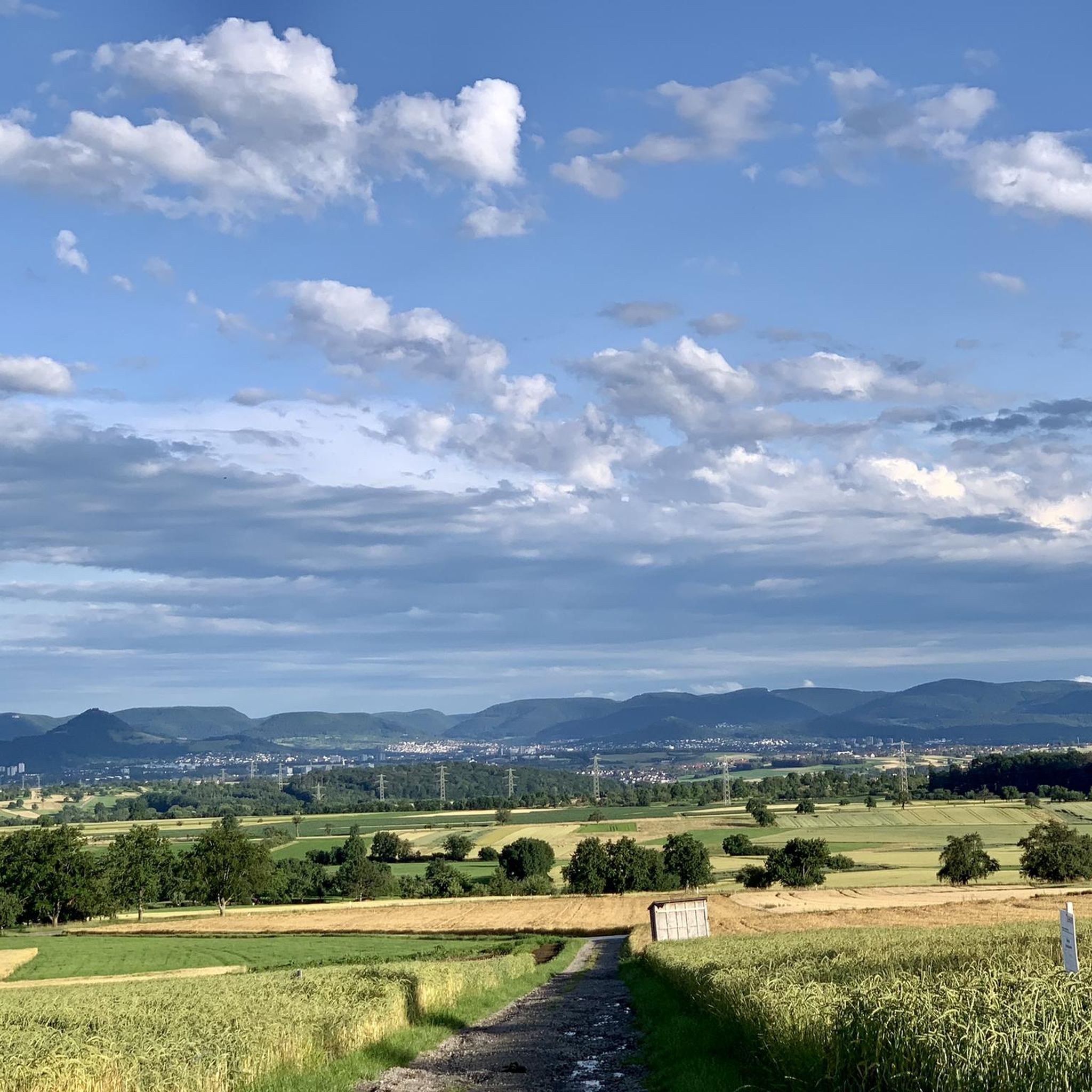
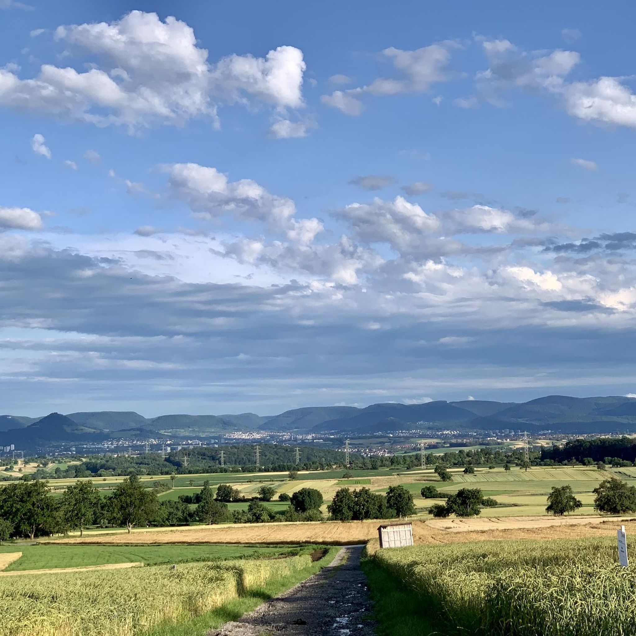
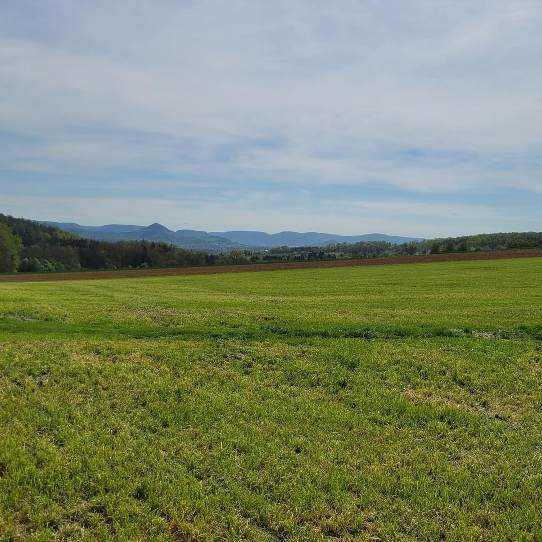
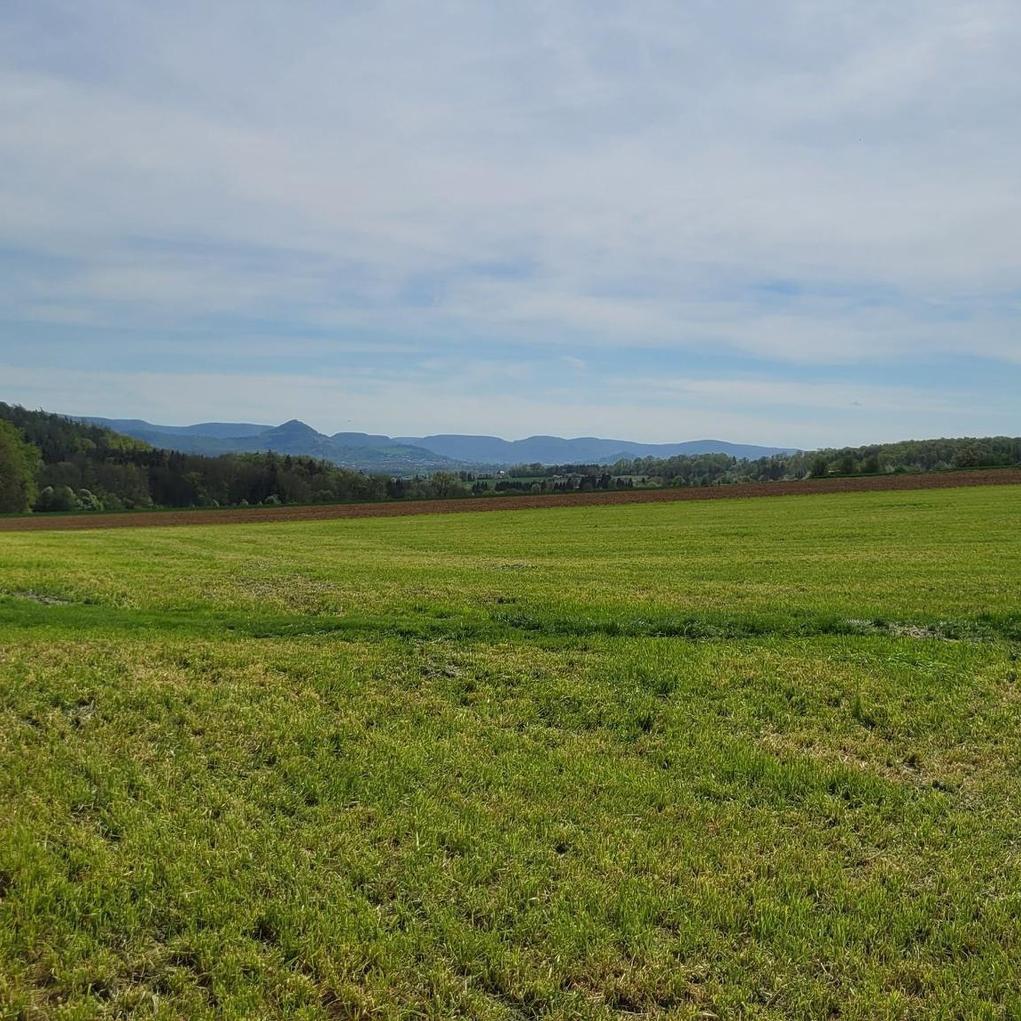
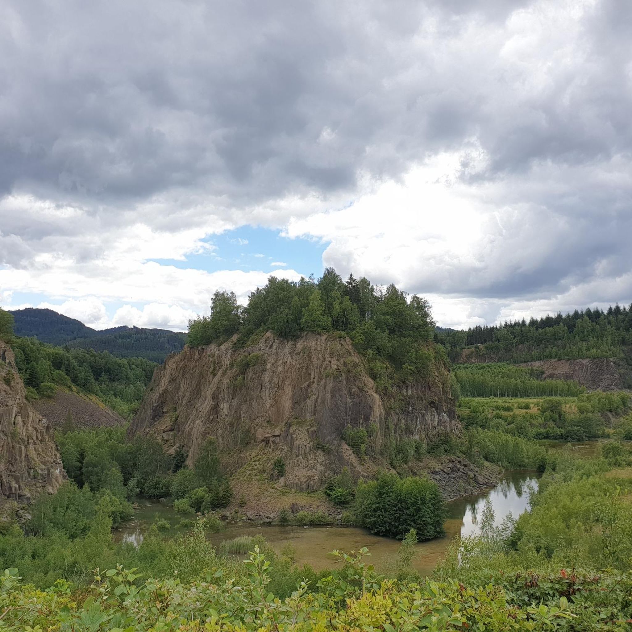
Hiking around Walddorfhäslach offers a network of trails through varied terrain. The region is characterized by woodlands, gentle hills, and the presence of streams and ponds, providing diverse natural settings for outdoor activities. Elevations are generally moderate, making the area accessible for various fitness levels. The landscape features a mix of open areas and shaded forest paths.
Best hiking trails around Walddorfhäslach
- The most popular hiking route is Häslach Water Tower – Sulz Oak loop from Häslach, a 5.0…
Last updated: August 18, 2026
4.7
(558)
1,944
hikers
Hard hike. Very good fitness required. Easily-accessible paths. Suitable for all skill levels.
4.5
(33)
116
hikers
15.9km
04:17
190m
190m
Moderate hike. Good fitness required. Easily-accessible paths. Suitable for all skill levels.

Sign up for free
4.4
(27)
107
hikers
6.34km
01:43
80m
80m
Easy hike. Great for any fitness level. Easily-accessible paths. Suitable for all skill levels.
4.7
(43)
164
hikers
8.89km
02:29
160m
160m
Moderate hike. Good fitness required. Easily-accessible paths. Suitable for all skill levels.
4.3
(18)
74
hikers
Easy hike. Great for any fitness level. Easily-accessible paths. Suitable for all skill levels.
Get access to more routes and recommendations from other explorers.
Sign up for free
Already have an account?
Our route recommendations are based on thousands of hikes, rides, and runs completed by other people on komoot.
Start today with a free account
Your next adventure awaits.
Login or Signup
Tips from the Community

Wonderful resting place with a Hollywood swing and view towards Waldenbuch on the Knaupwiesen as part of the Herzog-Jäger-Pfad. There is even a guestbook available to sign.
4
0
Life tree with an information board about its significance as part of the "Herzog-Jäger-Pfad", which refers to the former hunting area Bezenberg, which the Dukes of Württemberg often and gladly visited due to the legendary richness of game until the beginning of the 19th century. Duke Friedrich I (1557 - 1608) in particular was a frequent guest and was very connected to Waldenbuch and its surroundings.
6
0

A quiet place to pause amidst the greenery 🍃. The small rest area offers a beautiful view of the surrounding landscape and invites a short break 😌. Perfect for taking a breath, letting your gaze wander, and enjoying nature.
10
0
Perfect starting point for relaxed hiking and cycling tours in the Schönbuch Nature Park 🌿. Directly from the car park, you enter quiet forest paths, wide forest roads, and varied routes away from traffic 🚶♂️🚴♂️. Ideal for a short break in nature – whether it's a short loop or a longer discovery tour.
7
0
Sundial in an orchard, installed by the distiller Rainer Stoll.
6
0
Fountain in Eichwasen with a small spring, as well as a rest area with seating and a table.
6
0
In 1924, the Barons von Tessin traveled from their estate in Hochdorf near Vaihingen an der Enz to Walddorf, where they both intended to go hunting. During the hunt, a shot was accidentally discharged, lodged on a branch, and struck one of the brothers in the back, killing him. It is suspected that this was not a hunting accident, as a year later the widow's brother proposed marriage to her, which she refused.
4
0

At the “Steinbrennershaus” hiking parking lot, there is an orientation board for hikers indicating their current location and providing an overview of the Schönbuch forest and surrounding area.
3
0
Frequently Asked Questions
How many hiking trails are available in Walddorfhäslach?
Walddorfhäslach offers a wide selection of routes, with over 100 hiking trails recorded on komoot. This includes options for various skill levels and preferences.
Are there easy hiking trails suitable for beginners or families?
Yes, Walddorfhäslach is very beginner and family-friendly, with 72 easy routes available. A great option is the Eichwasen Spring – Wayside Sundial loop from VVG der Gemeinde Pliezhausen, an easy 3.9-mile (6.3 km) path that explores the area around Eichwasen Spring.
What kind of terrain can I expect on hikes around Walddorfhäslach?
The region is characterized by diverse terrain, including woodlands, gentle hills, and the presence of streams and ponds. You'll find a mix of open areas and shaded forest paths, with generally moderate elevations, making it accessible for various fitness levels.
Are there any circular hiking routes in Walddorfhäslach?
Many of the trails in Walddorfhäslach are circular routes, perfect for returning to your starting point. For example, the Sulz Oak – Schlüssel Lake loop from Häslach is a popular 5.5-mile (8.9 km) trail leading through forests and past a lake.
What are some scenic viewpoints or landmarks to see while hiking?
Walddorfhäslach offers several scenic spots. You can find beautiful views from Uhlberg Tower or the Floriansberg Viewpoint. The Häslach Water Tower – Sulz Oak loop from Häslach also features the local water tower as a prominent landmark.
Are the hiking trails in Walddorfhäslach dog-friendly?
Generally, the natural trails through woodlands and open areas are suitable for dogs, provided they are kept on a leash where required and owners clean up after them. Many local hikers enjoy these paths with their canine companions.
Where can I find parking for hiking trails in Walddorfhäslach?
Parking is typically available at trailheads or designated parking areas near popular starting points in and around Walddorfhäslach. Specific parking information is often detailed on individual route pages on komoot.
What do other hikers enjoy most about hiking in Walddorfhäslach?
The area is highly rated by the komoot community, with an average score of 4.6 stars from nearly 900 reviews. Reviewers often praise the quiet woodlands, the varied landscape with streams and gentle hills, and the well-maintained paths suitable for different abilities.
Are there any longer, more challenging hikes in the region?
For those seeking a greater challenge, there are more demanding routes available. The Steigweiher Pond – Schaich Stream in the Schaich Valley loop from Häslach is a difficult 12.3-mile (19.8 km) trail with over 400 meters of elevation gain, offering a more strenuous experience.
Can I find hikes that pass by lakes or water features?
Yes, the region features several beautiful water bodies. The Sulz Oak – Schlüssel Lake loop from Häslach passes by Schlüsselsee. You can also explore highlights like the Water Lily Pond in the Schaich Valley.
Is Walddorfhäslach suitable for winter hiking?
While the region's gentle hills and woodlands can be beautiful in winter, conditions can vary. It's advisable to check local weather forecasts and trail conditions before heading out. Many paths remain accessible, but some may be icy or muddy.
Are there any routes that offer a cafe or refreshment stop?
While specific cafes directly on every trail are not guaranteed, many routes pass through or near Walddorfhäslach and surrounding villages where you can find local eateries and cafes for a refreshment break. Planning your route with komoot can help identify such spots.
Most popular routes around Walddorfhäslach
Most popular attractions around Walddorfhäslach

Get inspired with the komoot mobile app


Explore more
Browse the best Hikes in other regions.
