The best walks and hikes around Waldbach-Mönichwald
4.7
(2400)
13,389
hikers
50
hikes
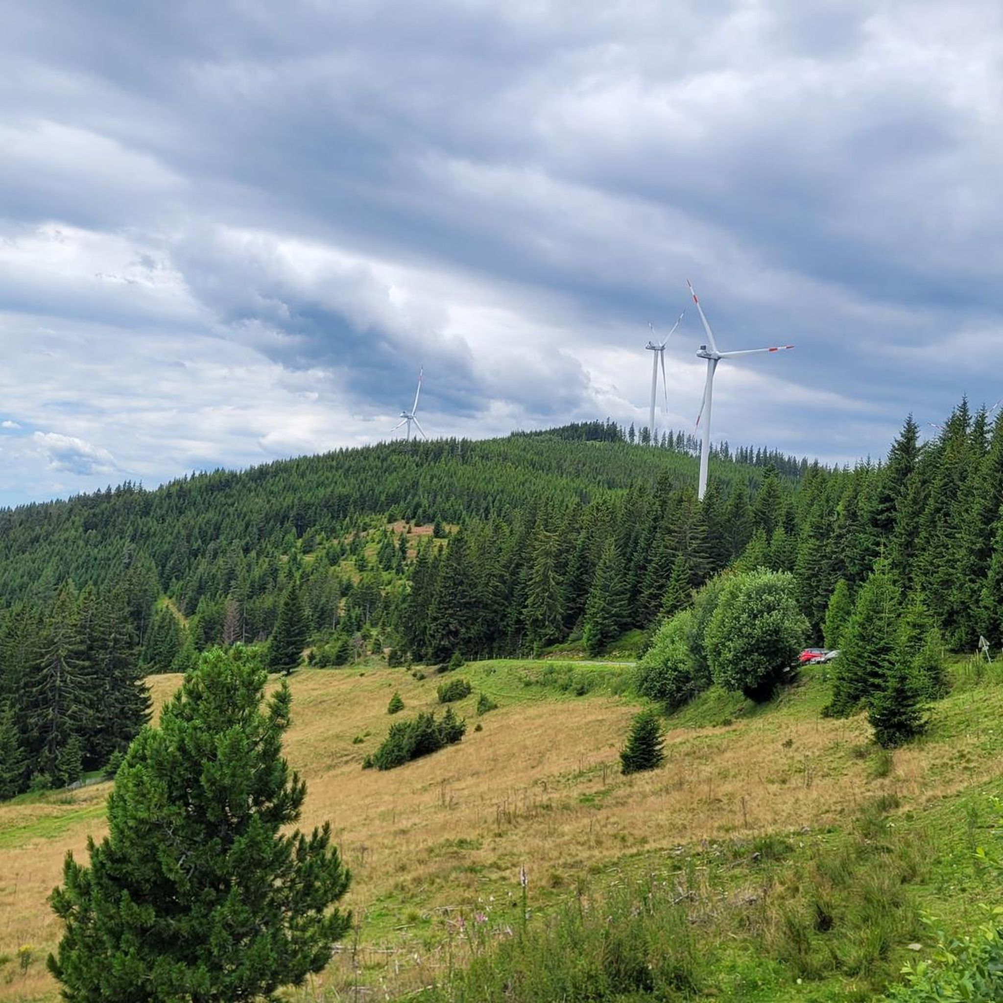
Hiking around Waldbach-Mönichwald offers diverse terrain characterized by rolling hills, dense forests, and clear streams. The region is dominated by the prominent Hochwechsel mountain, providing panoramic views and varied ascent paths. Hikers can explore a network of trails that traverse these natural features, including sections along the Lafnitz River. This area provides a rich environment for outdoor activities, with elevations ranging from valley floors to mountain summits.
Best hiking trails in Waldbach-Mönichwald
- The most popular hiking route is Romai Waterfall…
Last updated: October 7, 2026
4.8
(37)
151
hikers
Moderate hike. Good fitness required. Mostly accessible paths. Sure-footedness required.
4.7
(23)
163
hikers
17.9km
05:18
500m
500m
Hard hike. Very good fitness required. Easily-accessible paths. Suitable for all skill levels.

4.9
(46)
391
hikers
10.6km
03:15
390m
390m
Moderate hike. Good fitness required. Easily-accessible paths. Suitable for all skill levels.
4.7
(13)
44
hikers
8.14km
02:29
280m
290m
Moderate hike. Good fitness required. Easily-accessible paths. Suitable for all skill levels.
4.8
(10)
48
hikers
14.8km
04:14
350m
350m
Moderate hike. Good fitness required. Mostly accessible paths. Sure-footedness required.
Get access to more routes and recommendations from other explorers.
Already have an account?
Our route recommendations are based on thousands of hikes, rides, and runs completed by other people on komoot.
Start today with a free account
Your next adventure awaits.
Popular around Waldbach-Mönichwald

Other adventures around Waldbach-Mönichwald

Tips from the Community

The Festenburg summit is located on the Niederwechsel and is a rather inconspicuous, natural point along the ridge. Instead of a distinct summit structure, forest and the gentle landscape of the Wechselland characterize this section. A quiet waypoint away from the more prominent peaks – typical for the elongated ridges of the Wechsel Mountains.
3
0
The large wooden „W“ stands directly on the Hochwechsel and marks the start of the Hochwechsel Trail „The WU“. It serves as a kind of gateway to the mountain bike trail, which leads from here across the alpine pasture in the direction of Marienseer Schwaig. Due to its striking shape, the „W“ is now also a distinctive photo motif directly on the Hochwechsel.
3
0
The Wetterkoglerhaus is located directly on the summit of the Hochwechsel at 1,743 meters and is a hut of the Austrian Alpine Club. With good visibility, the hut offers a magnificent panorama over the Wechsel region to Schneeberg, Rax, and Hochschwab. Due to its immediate proximity to the summit cross and chapel, the Wetterkoglerhaus is an ideal resting and refreshment stop at the highest point of the tour.
4
0


Very well-located mountain hut with a superb view
0
0
Great waterfall in both summer and winter
0
0
a not too difficult hiking trail
0
0
Frequently Asked Questions
How many hiking trails are available in Waldbach-Mönichwald?
Waldbach-Mönichwald offers a rich network of over 50 hiking trails, catering to various preferences and fitness levels. These routes traverse picturesque forests, rolling hills, and clear streams, with the majestic Hochwechsel mountain as a prominent feature.
Are there easy hiking trails suitable for beginners or families?
Yes, Waldbach-Mönichwald has plenty of options for easy hikes, with 19 routes specifically categorized as easy. A great choice for families or beginners is the Romai Waterfall – Arzberg Summit Cross loop from Lechbauerkogel, which is a moderate 4.8-mile (7.8 km) trail featuring the Romai Waterfall.
Can I find challenging long-distance hikes in the region?
Absolutely. For experienced hikers seeking a challenge, there are 4 difficult routes available. One notable option is the Rabl-Kreuz-Hütte – Wetterkogler House loop from Rabl-Kreuz-Hütte, an 11.2-mile (18.0 km) path that ascends towards the Hochwechsel, passing significant mountain huts like the Wetterkoglerhaus.
Are there any circular hiking routes?
Many of the trails in Waldbach-Mönichwald are designed as circular routes, allowing you to start and end at the same point. Examples include the Romai Waterfall – Arzberg Summit Cross loop and the Rabl-Kreuz-Hütte – Sunset view at Hochwechsel loop, both offering diverse scenery without retracing your steps.
What natural highlights or viewpoints can I discover on the trails?
The region is rich in natural beauty and offers stunning viewpoints. You can visit the Romai Waterfall, explore picturesque forests, and enjoy panoramic vistas from mountain summits. The Chapel and summit cross on the Hochwechsel provides expansive views, and the Stuhleck Summit is the easternmost peak in the Alps above the tree line, offering a unique panoramic experience.
Are dogs allowed on the hiking trails in Waldbach-Mönichwald?
Generally, dogs are welcome on hiking trails in Waldbach-Mönichwald. However, it's always advisable to keep them on a leash, especially in areas with livestock or wildlife, and to respect local regulations. Remember to bring water for your dog and clean up after them.
What is the best time of year to go hiking in Waldbach-Mönichwald?
Waldbach-Mönichwald is a year-round hiking destination. Spring brings blooming meadows, summer offers lush green landscapes, and autumn transforms the forests with vibrant colors. Even in winter, the area provides opportunities for snowshoeing and winter walks, with the Hochwechsel area transforming into a winter sports hub.
Are there places to eat or mountain huts along the hiking routes?
Yes, you'll find several welcoming mountain huts and refreshment stops along the trails. Notable options include the Rabl-Kreuz-Hütte, the Wetterkogler House on Hochwechsel, and the Hallerhaus Mountain Lodge. These provide excellent opportunities for a break and to enjoy local cuisine.
What do other hikers say about the trails in Waldbach-Mönichwald?
The trails in Waldbach-Mönichwald are highly regarded by the komoot community, boasting an impressive average rating of 4.7 stars from over 2100 reviews. Hikers frequently praise the diverse terrain, well-maintained paths, and the stunning panoramic views from peaks like the Hochwechsel.
Are there any specific attractions or landmarks to look out for?
Beyond the natural beauty, you can explore several interesting landmarks. The Chapel and summit cross on the Hochwechsel is a significant point, and the Hallerhaus Mountain Lodge is a family-friendly destination. The Wiedner's Wasserspiele (water games) in Waldbach also offer a unique experience.
Are there options for winter hiking?
Yes, the Hochwechsel area transforms into a winter wonderland, offering opportunities for winter sports and hiking. While some trails might be covered in snow, specific routes are suitable for winter walks or snowshoeing, providing a different perspective of the serene landscape.
Most popular routes around Waldbach-Mönichwald
Most popular attractions around Waldbach-Mönichwald

Get inspired with the komoot mobile app


Explore more
Browse the best Hikes in other regions.
