The best walks and hikes around Waidacher Forst
4.6
(25563)
93,074
hikers
1,340
hikes
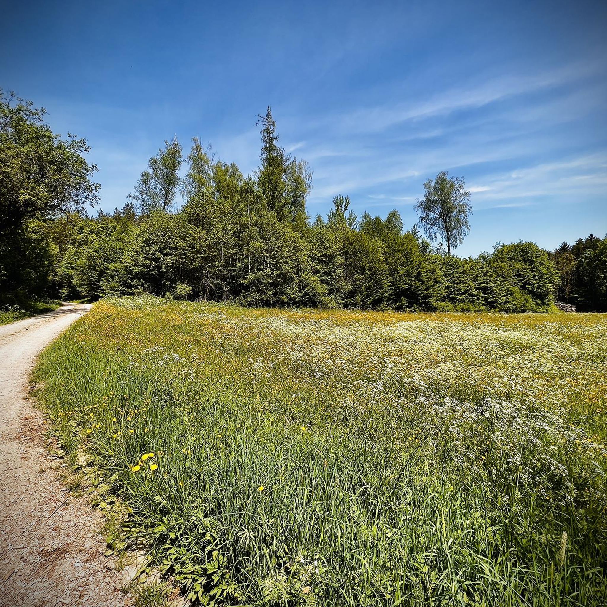
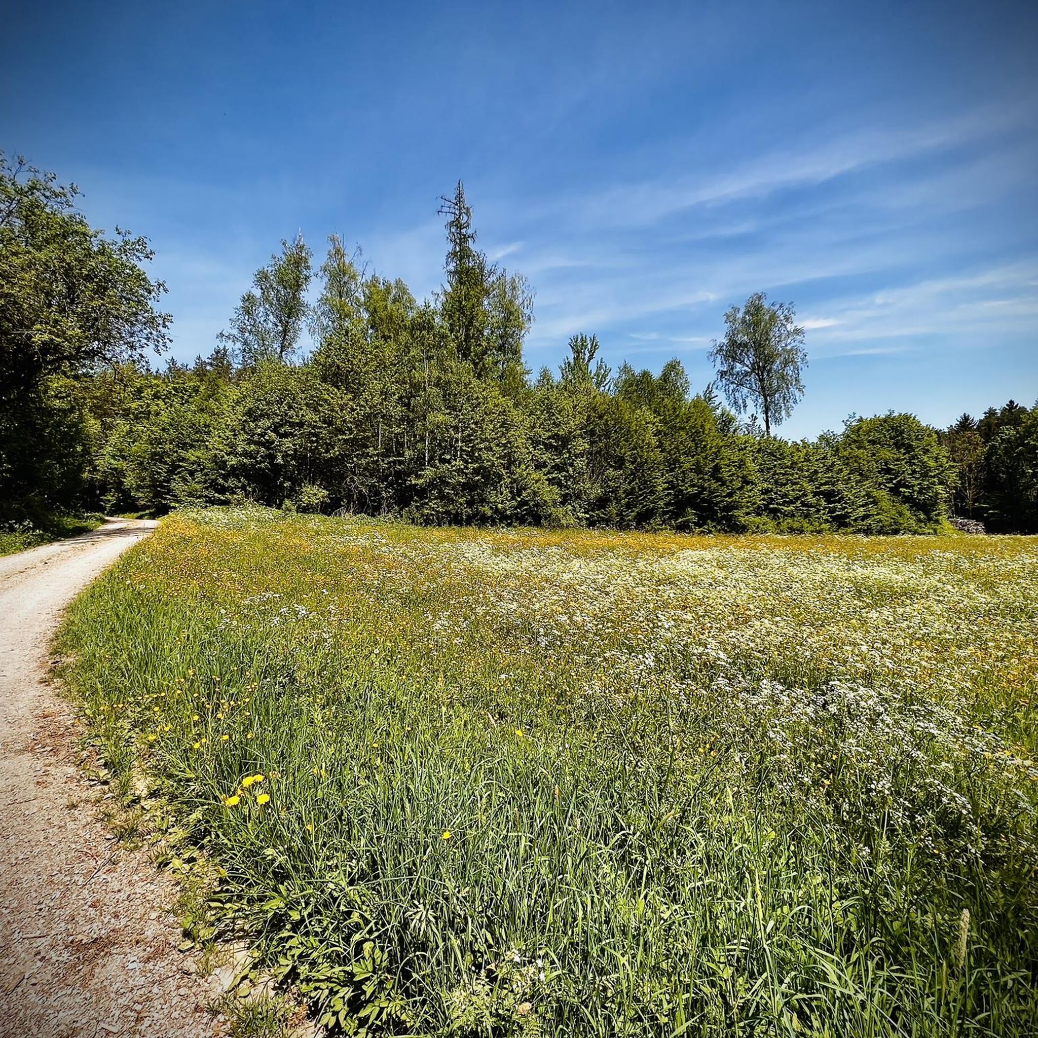
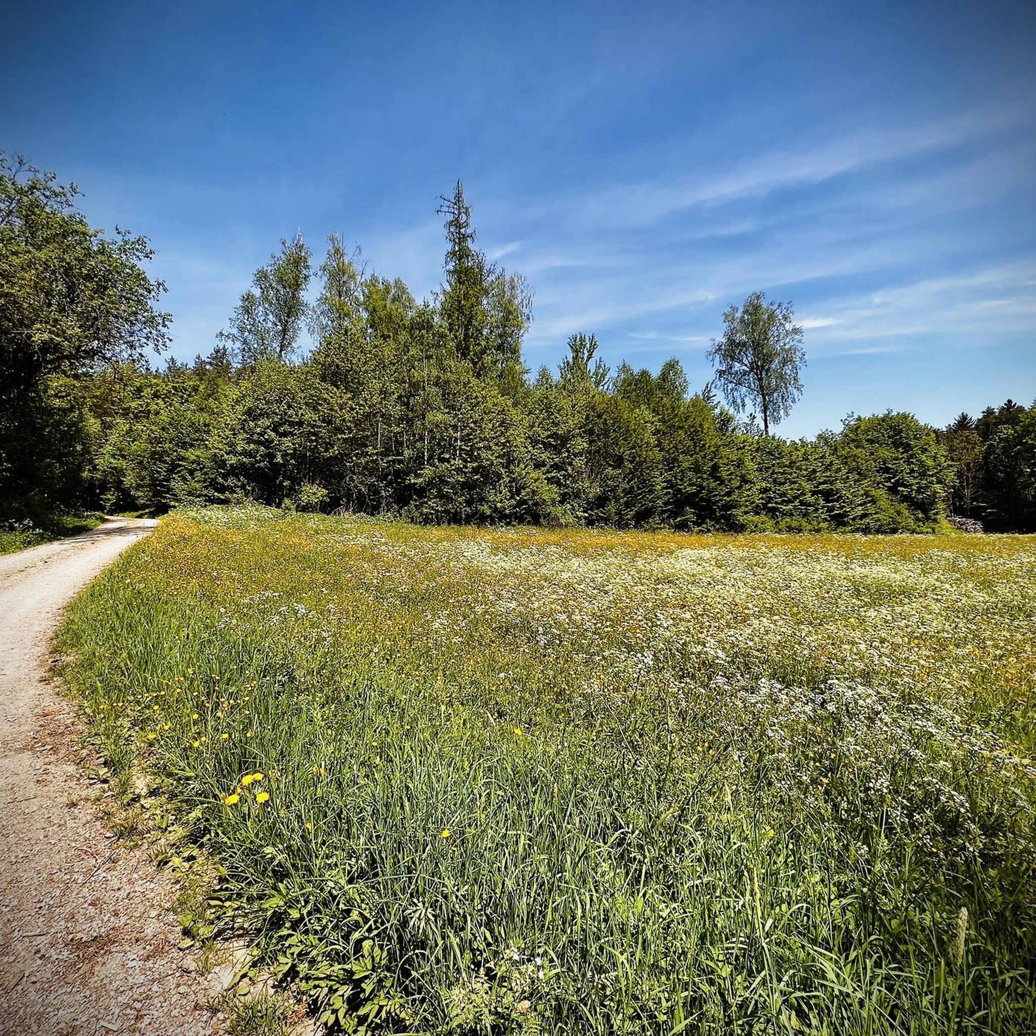
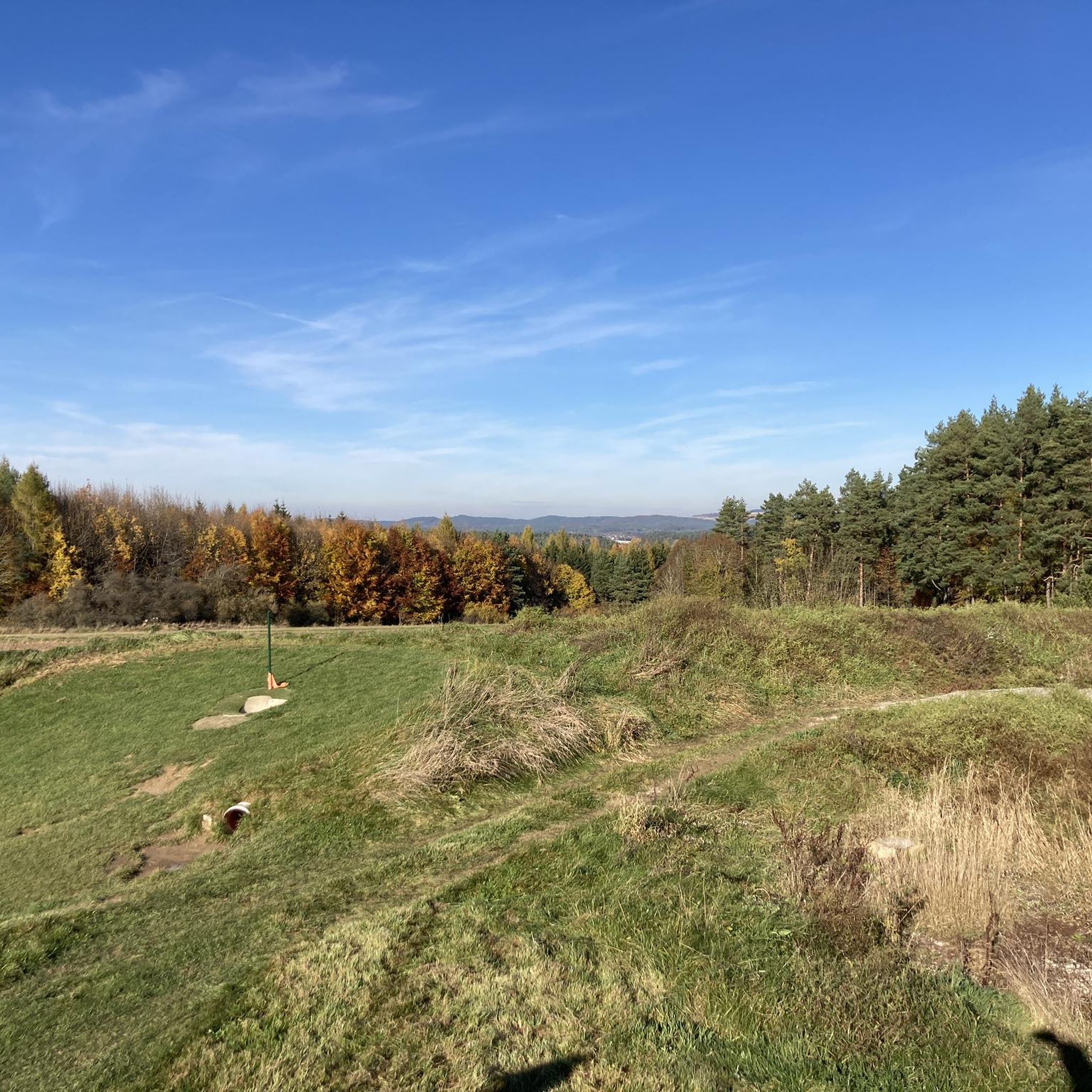
Hiking around Waidacher Forst offers diverse trails through the scenic Franconian Switzerland region. The landscape is characterized by dense woodlands, limestone formations, and rolling hills, providing varied terrain for outdoor activities. Hikers can expect a mix of shaded forest paths and open sections with views over the valleys. The area features numerous natural rock formations and small streams, contributing to its distinct character.
Best hiking trails around Waidacher Forst
- The most popular hiking route is Obertrubach Hiking Trails – Shaded…
Last updated: July 4, 2026
4.8
(323)
1,134
hikers
Moderate hike. Good fitness required. Easily-accessible paths. Suitable for all skill levels.
4.3
(33)
109
hikers
24.1km
06:37
390m
390m
Hard hike. Very good fitness required. Easily-accessible paths. Suitable for all skill levels.

Sign up for free
4.4
(20)
69
hikers
5.26km
01:29
120m
110m
Easy hike. Great for any fitness level. Easily-accessible paths. Suitable for all skill levels.
4.9
(14)
65
hikers
28.4km
07:55
540m
540m
Hard hike. Very good fitness required. Easily-accessible paths. Suitable for all skill levels.
4.6
(26)
91
hikers
Moderate hike. Good fitness required. Easily-accessible paths. Suitable for all skill levels.
Get access to more routes and recommendations from other explorers.
Sign up for free
Already have an account?
Our route recommendations are based on thousands of hikes, rides, and runs completed by other people on komoot.
Start today with a free account
Your next adventure awaits.
Login or Signup
Tips from the Community

The rock gate is not as indicated, left of the path upwards, but to the right above. The ascent across the country is worth it.
0
0

Gößweinstein is known for its basilica and its magnificently situated castle.
0
0

Located directly in the old town center on a one-way street, but unfortunately closed
9
0
Overwhelming view of the castle perched on the rocky plateau
9
0

Very nice place and a stop at Café Leistner is a must
0
0

Super beautiful path through the rocks.
0
0

A very beautiful rock formation with stunning views and benches. Highly recommended. This hiking trail follows the rocks to the very impressive exit of the Devil's Cave.
1
0
Gigantic rock formations. A stunning view of the cliffs and the valley below. Highly recommended.
0
0
Frequently Asked Questions
How many hiking trails are available in Waidacher Forst?
Waidacher Forst offers a vast network of over 1,300 hiking trails. This includes a diverse range of routes suitable for various fitness levels, from leisurely strolls to more demanding treks through the scenic Franconian Switzerland region.
Are there easy hiking trails suitable for beginners or families in Waidacher Forst?
Yes, Waidacher Forst features over 550 easy hiking trails, many of which are perfect for beginners or families. These routes often wind through shaded forest paths and past unique rock formations. An example is the Bleistein Rock Arch – Leienfels Stone Church Cave loop from Soranger, which is 3.3 miles (5.3 km) long and leads through woodlands.
Where can I find more challenging hikes in Waidacher Forst?
For those seeking a challenge, Waidacher Forst offers over 180 difficult routes. These trails often feature significant elevation gain and expansive views. A notable challenging option is the Hartenreuth Chapel – Wichsenstein Rock Viewpoint loop from Kleingesee, a 14.9 miles (24.0 km) path with prominent rock formations.
Are there many circular hiking routes in Waidacher Forst?
Many of the hiking trails in Waidacher Forst are designed as circular routes, allowing you to start and end your hike at the same point without retracing your steps. This is ideal for exploring the diverse landscape of dense woodlands and limestone formations efficiently.
What kind of scenery and viewpoints can I expect while hiking in Waidacher Forst?
Hikers in Waidacher Forst can expect a varied landscape characterized by dense woodlands, impressive limestone formations, and rolling hills. You'll find a mix of shaded forest paths and open sections offering views over valleys. Prominent rock formations and small streams add to the distinct character of the region. For example, the View of Pottenstein Castle – Trail Above the Devil's Cave loop from Waidacher Forst offers scenic vistas.
Can I bring my dog on the hiking trails in Waidacher Forst?
Generally, dogs are welcome on the hiking trails in Waidacher Forst. It's always recommended to keep your dog on a leash, especially in areas with wildlife or near other hikers, and to carry waste bags to maintain the natural beauty of the area.
Are there any interesting landmarks or natural attractions along the trails?
Yes, Waidacher Forst and its surroundings are rich in natural attractions. You can explore gorges like the Upper Püttlach Valley or the Klumpertal. There are also unique rock formations and caves, such as the Trail from Pottenstein to the Teufelshöhle.
What do other hikers enjoy the most about hiking in Waidacher Forst?
The hiking experience in Waidacher Forst is highly rated by the komoot community, with an average score of 4.6 stars from over 23,000 reviews. Reviewers often praise the diverse terrain, the beauty of the dense woodlands, and the well-maintained paths that offer options for all ability levels.
Is Waidacher Forst accessible by public transport?
While specific routes might vary in their direct public transport access, the Franconian Switzerland region generally has bus connections to its main towns and villages. It's advisable to check local bus schedules for the specific starting points of your chosen hikes.
Are there opportunities for winter hiking in Waidacher Forst?
Winter hiking in Waidacher Forst can be a magical experience, with snow-covered forests and quiet trails. While some paths may be less accessible depending on snow conditions, many routes remain suitable for winter exploration. Always check local conditions and wear appropriate gear.
Are there any huts or places to stop for refreshments along the trails?
Yes, the region around Waidacher Forst offers several huts and refreshment points. You might find places like the Singers' Hut or the Schweigelberg Forester's Lodge, providing opportunities for a break and a meal during your hike.
What is the best time of year to hike in Waidacher Forst?
Waidacher Forst offers enjoyable hiking experiences throughout the year. Spring brings blooming wildflowers, summer provides shaded forest paths, autumn showcases vibrant foliage, and winter offers serene, snow-dusted landscapes. The best time depends on your preference for weather and scenery.
Most popular routes around Waidacher Forst
Most popular attractions around Waidacher Forst

Get inspired with the komoot mobile app


Explore more
Browse the best Hikes in other regions.
