The best walks and hikes around Wahlrod
4.6
(1403)
4,483
hikers
20
hikes
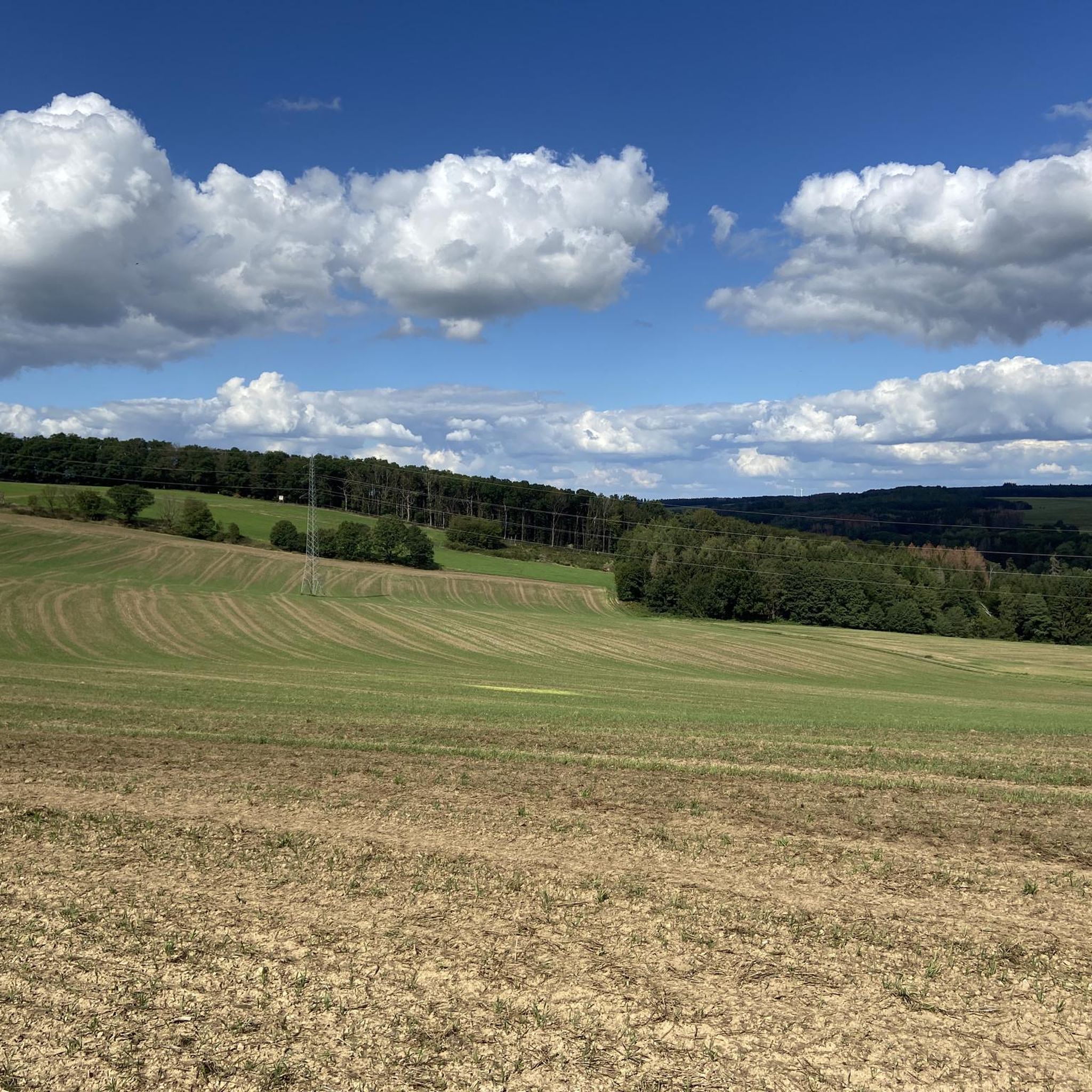
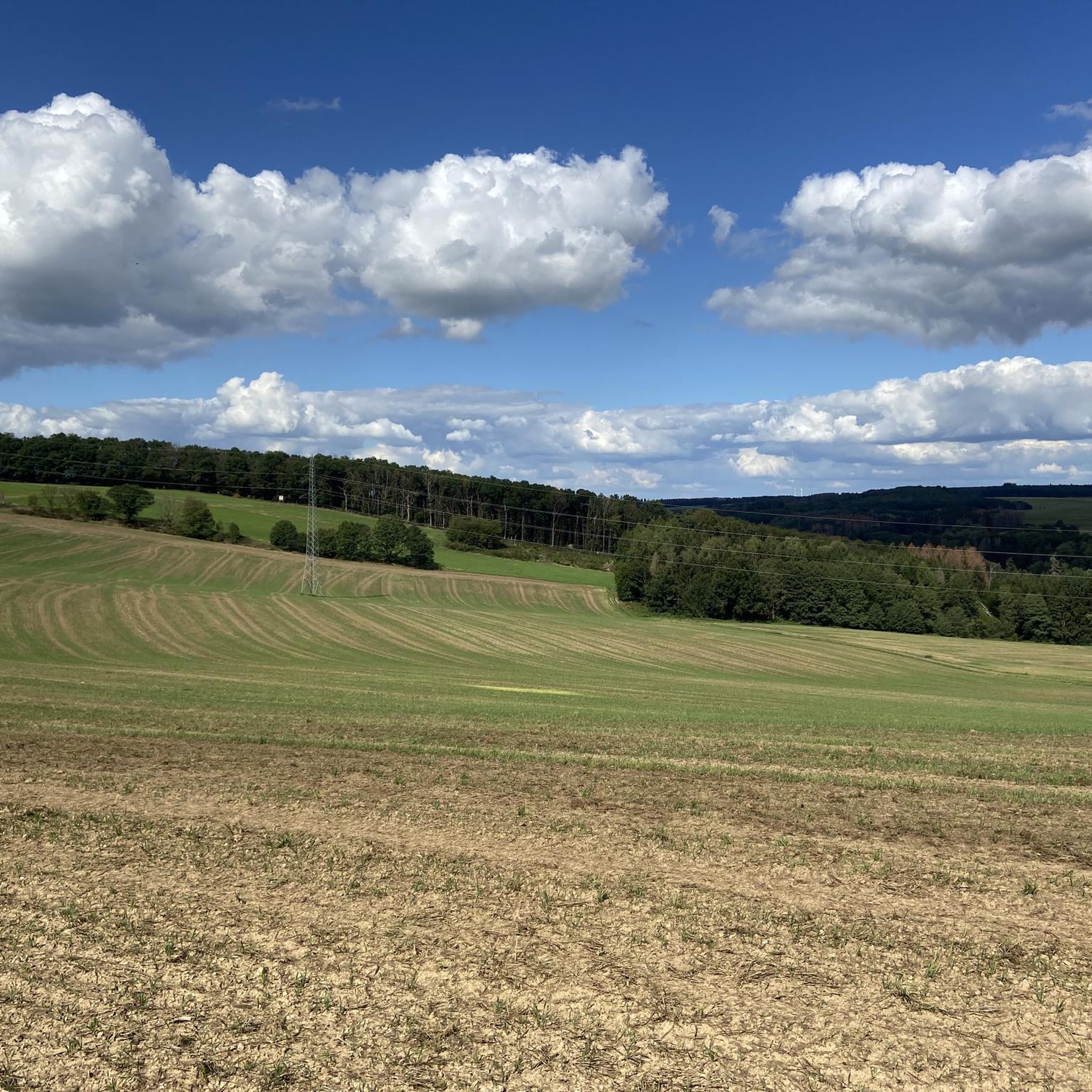
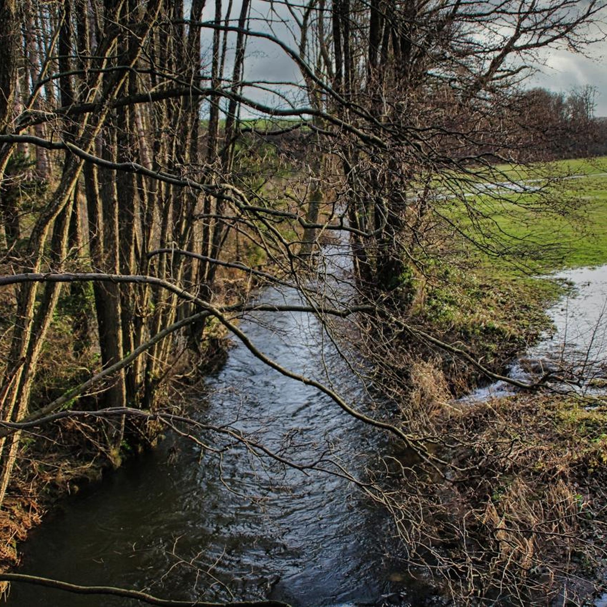
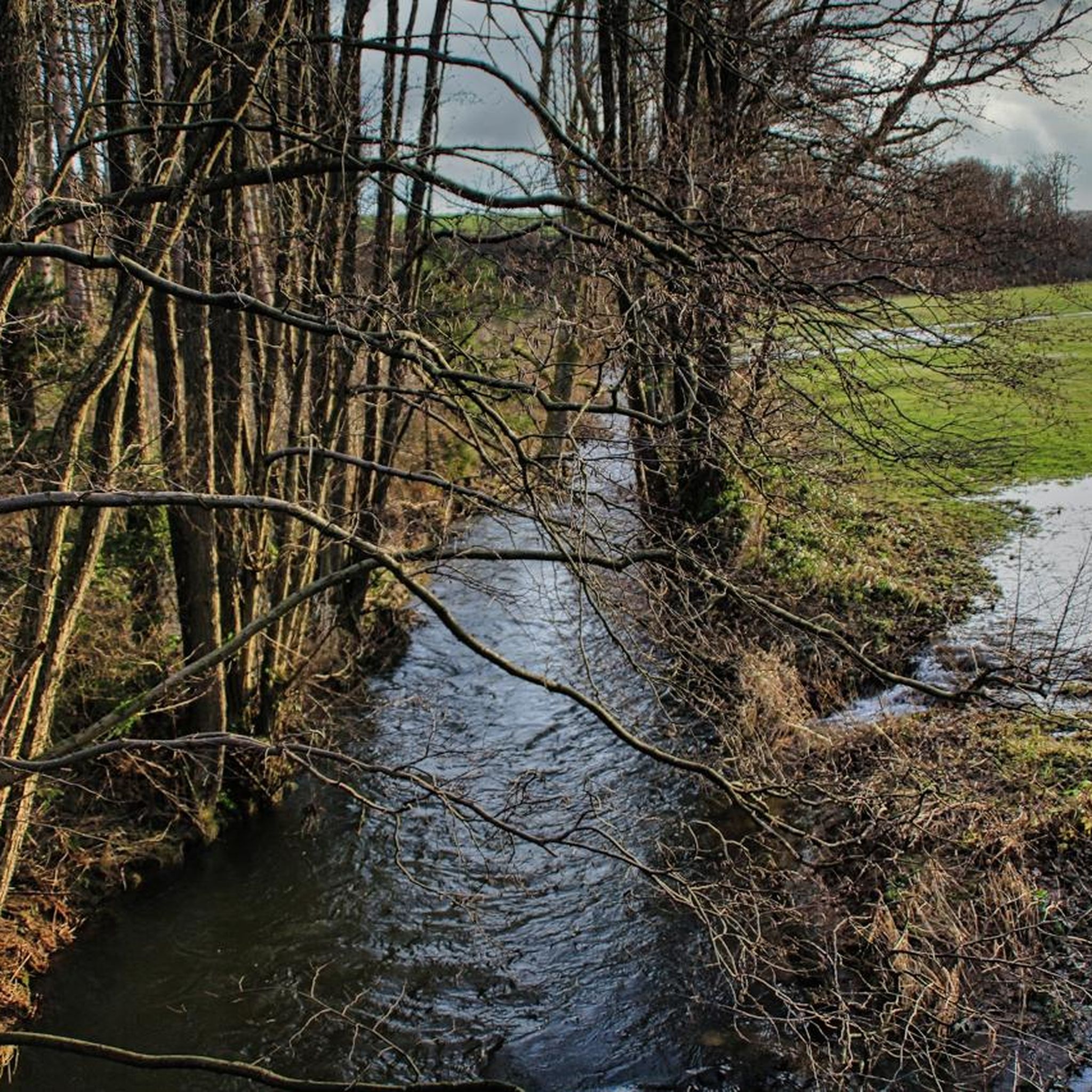
Hiking around Wahlrod offers access to the diverse landscapes of the Westerwald region in Rhineland-Palatinate, Germany. The area is characterized by rolling hills, expansive forests, and serene river valleys, including the Nistertal. Trails often feature moderate elevation changes, with ascents typically under 150 meters. The natural environment provides a setting for various outdoor activities, with numerous routes available for exploration.
Best hiking trails around Wahlrod
- The most popular hiking route is Paul Gerhard Shelter – View of Hachenburg loop from…
Last updated: October 8, 2026
4.2
(6)
17
hikers
13.0km
03:28
150m
150m
Moderate hike. Good fitness required. Easily-accessible paths. Suitable for all skill levels.
4.5
(2)
14
hikers
10.4km
02:48
120m
130m
Moderate hike. Good fitness required. Easily-accessible paths. Suitable for all skill levels.

5.0
(5)
16
hikers
6.11km
01:40
100m
100m
Easy hike. Great for any fitness level. Easily-accessible paths. Suitable for all skill levels.
5.0
(1)
7
hikers
8.82km
02:24
130m
130m
Moderate hike. Good fitness required. Easily-accessible paths. Suitable for all skill levels.
1.0
(1)
11
hikers
Easy hike. Great for any fitness level. Easily-accessible paths. Suitable for all skill levels.
Get access to more routes and recommendations from other explorers.
Already have an account?
Our route recommendations are based on thousands of hikes, rides, and runs completed by other people on komoot.
Start today with a free account
Your next adventure awaits.

Tips from the Community

The Beilstein is somewhat hidden in the middle of the forest.
1
0


The church building somehow radiates a sense of calm that allows us to forget the hectic pace of everyday life for a moment.
1
0

The old oak, an impressive tree in Berod, is a listed building.
1
0


Everything well sorted and clean! Beautiful mill!
0
0

Worth seeing, approximately 20 meter high basalt cone above the kindergarten with a barbecue hut and barbecue area.
2
0

The church was built at the beginning of the 13th century in the Romanesque transitional style. Inside there are valuable early Gothic frescoes.
1
0
Frequently Asked Questions
How many hiking trails are available around Wahlrod?
There are over 15 hiking routes available around Wahlrod, offering a variety of experiences. These include 8 easy trails and 7 moderate trails, ensuring options for different fitness levels.
Are there easy hiking options suitable for beginners in Wahlrod?
Yes, Wahlrod offers several easy hiking options perfect for beginners. There are 8 easy trails, many of which feature gentle elevation changes and well-maintained paths. An example is the Bridge over the Wied – Wied Trail at the Mühlgraben loop from Wahlrod, which is 3.8 miles (6.1 km) long and takes about 2 hours to complete.
Can I find family-friendly hiking trails near Wahlrod?
Many of the easy and moderate trails around Wahlrod are suitable for families. The region's rolling hills and dense woodlands provide a pleasant environment for walks with children. For a fun outing, consider exploring the nearby Alpenrod Observation Tower, which can be incorporated into a family-friendly route.
Are dogs allowed on the hiking trails around Wahlrod?
Generally, dogs are welcome on the hiking trails around Wahlrod, especially in the natural forest and valley areas. It's always recommended to keep dogs on a leash, particularly in nature reserves or near wildlife. Please be mindful of local regulations and other hikers.
What kind of natural features or viewpoints can I expect to see on hikes in Wahlrod?
Hiking around Wahlrod offers diverse natural beauty, including rolling hills, expansive forests, and the serene Nistertal (Nister Valley). You can find impressive scenic overlooks like the "Blick ins Nistertal vom Weltende." For specific viewpoints, consider routes that pass by the Raiffeisen Tower on Beulskopf or the View of Helmeroth and Langenbach.
Are there any circular hiking routes available in the Wahlrod area?
Yes, many of the trails around Wahlrod are designed as circular routes, allowing you to start and end at the same point. Examples include the Wied Trail at the Mühlgraben – Marzauer Mühle loop from Wahlrod, a moderate 6.5 miles (10.4 km) path, and the Berod Barbecue Hut – Paul Gerhard Shelter loop from Wahlrod, which is 5.5 miles (8.8 km).
What are some interesting places to explore near the hiking trails?
Beyond the trails, the Wahlrod area offers several points of interest. You can visit the historic Marienstatt Abbey, which features inspiring gardens and a brewery. The Alpenrod Observation Tower provides panoramic views, and the Rothbach Grotto offers a unique natural feature.
Is there public transport access to the trailheads around Wahlrod?
While Wahlrod is well-connected by road, public transport options to specific trailheads might be limited. It's advisable to check local bus schedules for connections to Wahlrod itself. For direct access to trail starting points, driving is often the most convenient option.
Where can I park when going for a hike in Wahlrod?
Parking is generally available in and around Wahlrod, particularly at designated trail starting points or near local amenities. Many routes, especially circular ones, often have informal parking areas. It's recommended to check the specific route details on komoot for suggested parking locations.
What is the best time of year to go hiking in Wahlrod?
The Westerwald region around Wahlrod is beautiful throughout the year, but spring (April-May) and autumn (September-October) are particularly popular for hiking. During these seasons, the weather is typically mild, and the landscapes offer vibrant colors. Summer also provides pleasant conditions, especially in the shaded forest areas.
Are there any places to stop for refreshments or a meal along the trails?
Yes, you can find options for refreshments. The historic Marienstatt Abbey, located nearby, features a brewery. Additionally, the Wilhelmsteg Café & Beer Garden is another spot where hikers can stop for a break and a meal.
What do other hikers say about their experience in Wahlrod?
The hiking routes in Wahlrod are highly rated by the komoot community, with an impressive average score of 4.6 stars from over 1200 reviews. Hikers often praise the varied terrain, the tranquility of the woodlands, and the well-marked paths that make exploration enjoyable.
Are there any longer or more challenging hikes for experienced hikers?
While most routes around Wahlrod are easy to moderate, experienced hikers can combine trails or explore longer sections of regional paths like the WesterwaldSteig for a more challenging experience. The Paul Gerhard Shelter – View of Hachenburg loop from Wahlrod, at 8.0 miles (12.9 km) with 147 meters of ascent, offers a good moderate challenge.
Most popular attractions around Wahlrod

Get inspired with the komoot mobile app


Explore more
Browse the best Hikes in other regions.
