The best walks and hikes around Salford
4.5
(1690)
23,358
hikers
168
hikes
Hiking around Salford explores a varied landscape that combines urban waterfronts with green corridors. The terrain is predominantly flat, featuring routes along waterways like the River Irwell and the historic Bridgewater Canal. The area contains numerous country parks, local nature reserves, and sections of woodland, offering accessible walking trails near the city. Salford boasts over 300 miles of public footpaths, providing diverse natural features for exploration.
Best hiking trails around Salford
- The most popular hiking route is Worsley Canal Basin – Old Warke Dam loop from Worsley, a 4.0 miles (6.5 km) trail that takes 1 hour 40 minutes to complete. This easy walk follows the scenic Bridgewater Canal and passes through Worsley Woods.
- Another top favourite among local hikers is River Irwell & Clifton Country Park loop from Clifton Station — Manchester, a moderate 6.0 miles (9.7 km) path. The route combines riverside walking with trails through the woods and meadows of a 48-hectare nature reserve.
- Local hikers also love the The Irwell Sculpture Trail & Kersal Wetlands loop from Salford Central — Manchester, a 9.9 miles (16.0 km) trail leading through varied terrain including the Irwell Sculpture Trail and Kersal Wetlands, often completed in about 4 hours 6 minutes.
- Hiking around Salford is defined by its network of canal towpaths, riverside trails, and paths through country parks. The collection of routes provides options for different ability levels, from short, flat walks to longer, moderate hikes.
- The routes in Salford are highly rated by the komoot community with an average score of 4.5 stars from over 180 reviews. More than 3,400 hikers have used komoot to explore Salford's varied terrain.
Last updated: June 30, 2026
3.8
(9)
39
hikers
Moderate hike. Good fitness required. Easily-accessible paths. Suitable for all skill levels.
4.6
(7)
14
hikers
Moderate hike. Good fitness required. Easily-accessible paths. Suitable for all skill levels.

Sign up for free
4.9
(8)
184
hikers
Easy hike. Great for any fitness level. Easily-accessible paths. Suitable for all skill levels.
4.9
(8)
186
hikers
Moderate hike. Good fitness required. Easily-accessible paths. Suitable for all skill levels.
4.7
(15)
131
hikers
Moderate hike. Good fitness required. Easily-accessible paths. Suitable for all skill levels.
5.0
(3)
69
hikers
3.84km
01:02
40m
40m
Easy hike. Great for any fitness level. Easily-accessible paths. Suitable for all skill levels.
5.0
(4)
73
hikers
5.04km
01:19
40m
40m
Easy hike. Great for any fitness level. Easily-accessible paths. Suitable for all skill levels.
4.0
(3)
93
hikers
12.5km
03:14
60m
60m
Moderate hike. Good fitness required. Easily-accessible paths. Suitable for all skill levels.
5.0
(2)
72
hikers
Easy hike. Great for any fitness level. Easily-accessible paths. Suitable for all skill levels.
5.0
(2)
53
hikers
11.4km
02:57
60m
60m
Moderate hike. Good fitness required. Easily-accessible paths. Suitable for all skill levels.
Get access to more routes and recommendations from other explorers.
Sign up for free
Already have an account?
Our route recommendations are based on thousands of hikes, rides, and runs completed by other people on komoot.
Start today with a free account
Your next adventure awaits.
Login or Signup

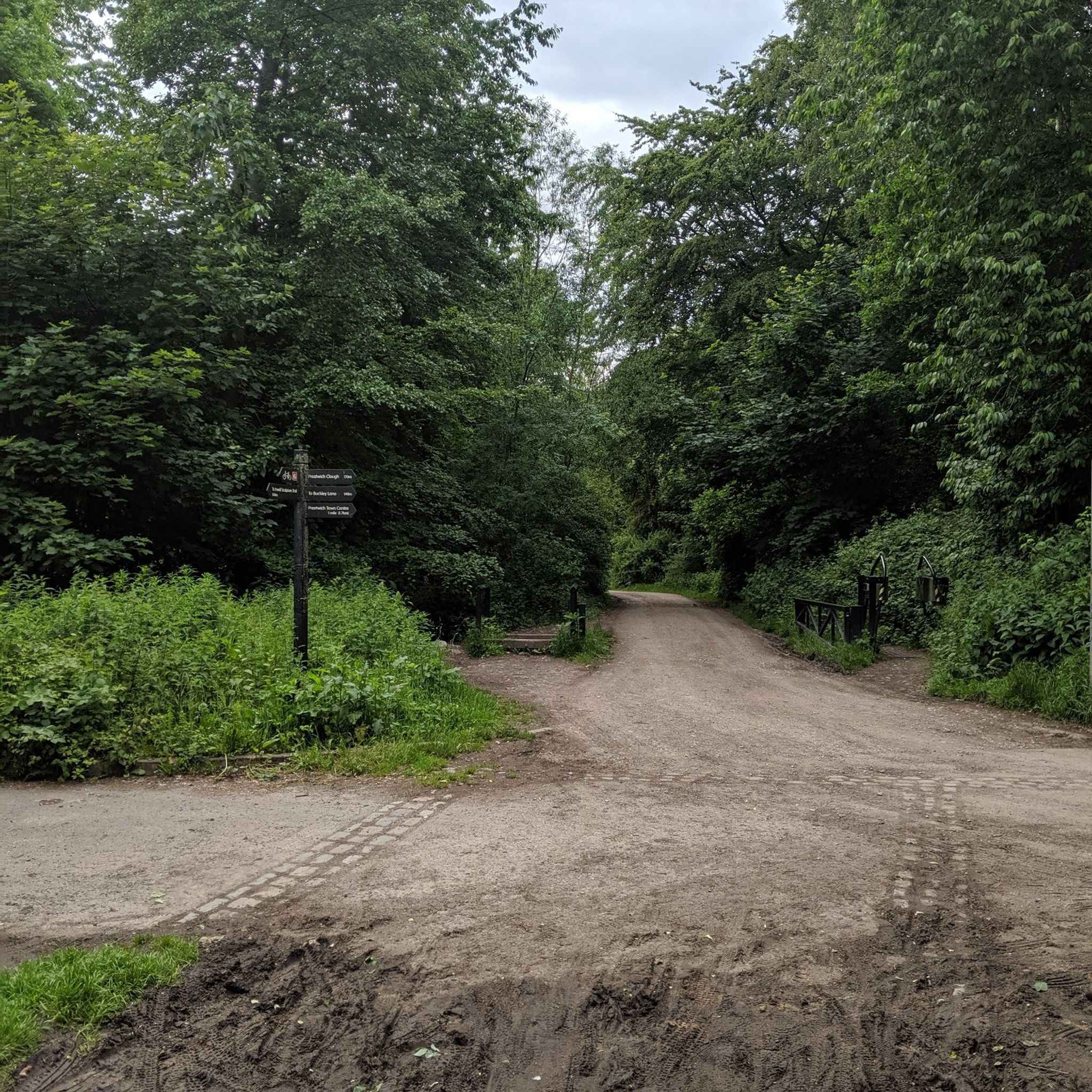
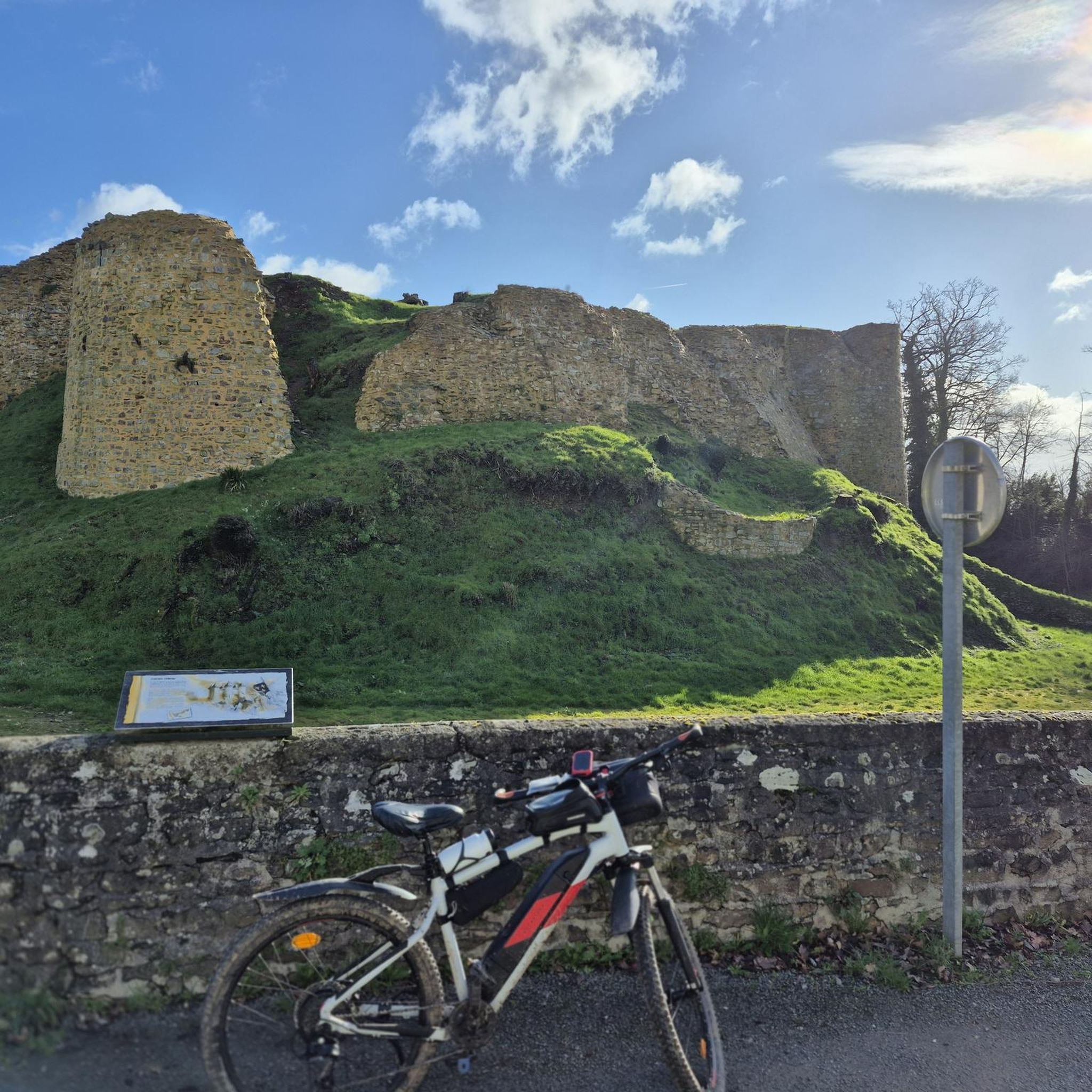


Tips from the Community

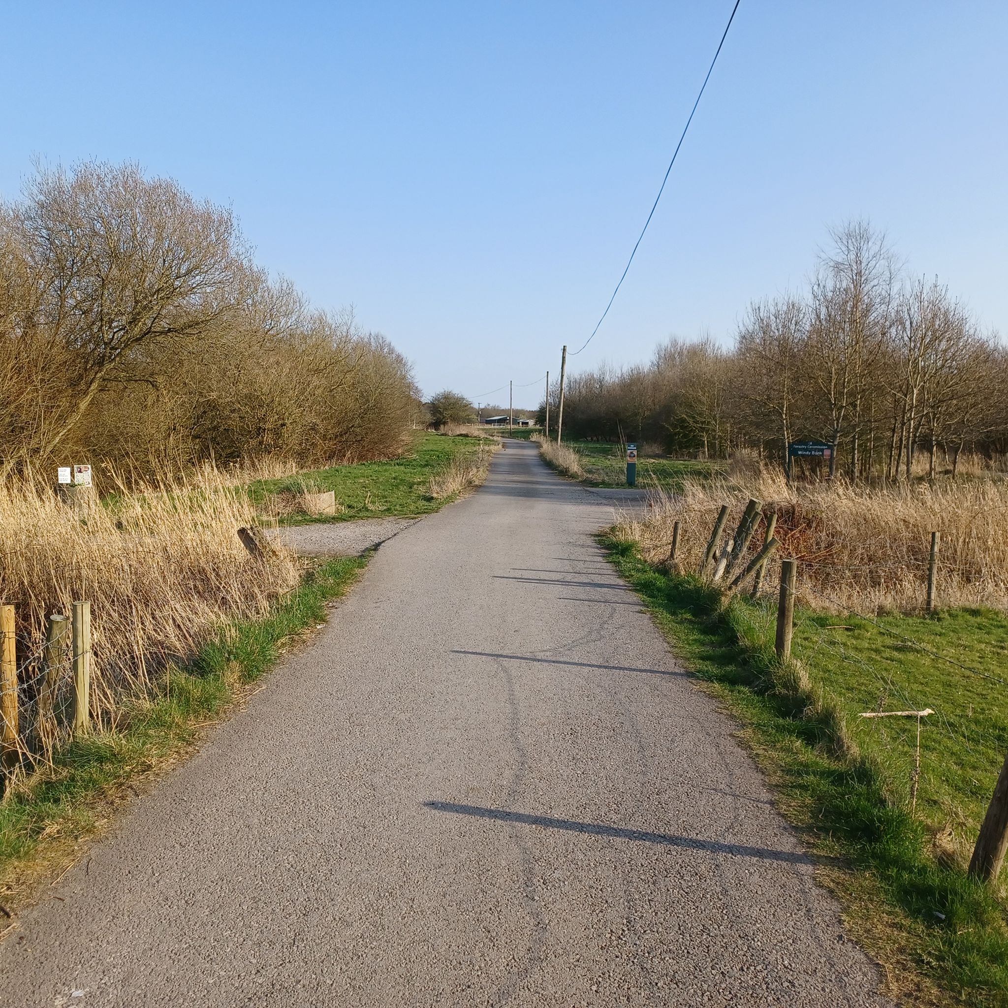
The Roe Green Loopline is a former 19th-century railway branch line in Salford, Greater Manchester, opened in 1870 by the London and North Western Railway to connect Eccles and Tyldesley with Bolton via Walkden. Originally serving local collieries, it carried passengers until the 1950s and closed in 1969, later becoming a popular 7.2km, traffic-free walking and cycling greenway.
1
0
The Roe Green Loopline is a former 19th-century railway branch line in Salford, Greater Manchester, opened in 1870 by the London and North Western Railway to connect Eccles and Tyldesley with Bolton via Walkden. Originally serving local collieries, it carried passengers until the 1950s and closed in 1969, later becoming a popular 7.2km, traffic-free walking and cycling greenway.
1
0

This area was once the site of the Manchester Docks. The area has been regenerated into a modern hub for culture, media, and business and is home to MediaCityUK.
0
0

Partially reconstructed and open to the public as part of Castlefield's Roman Gardens, Mamucium is a must for history buffs. Originally founded in AD 79, the fort was mostly levelled during the Industrial Revolution to make way for infrastructure projects.
0
0

Love this canal, it is good for a walk, run or even gentle cycle.
0
0

One of the park entrances. The little houses recently painted with characteristic scenes are beautiful. In the pond there are various aquatic animals. In reality this area was also made to accommodate the excess water of the river in an overflow vessel.
0
0

Nice little brew stop just off the Roe Green loopline
0
0

Frequently Asked Questions
Are there many easy, family-friendly walks in Salford?
Yes, Salford is great for family outings with over 100 easy trails. For a shorter walk, consider the Middle Wood loop from Boothstown. It's a pleasant 2.8-mile (4.5 km) route that's manageable for most abilities.
Can I take my dog on the hiking trails?
Most of Salford's parks and trails are dog-friendly, but it's always best to check local signage for specific rules. Clifton Country Park is a popular choice for dog walkers, offering plenty of space for them to explore. Remember to keep your dog under control, especially near wildlife and other walkers.
What are some good circular walks in the area?
Salford offers many circular routes that bring you back to your starting point. For a varied walk that takes in woodland scenery, the Bittern Pits Wood – Hollin Wood loop from Boothstown is an excellent 4.4-mile (7.2 km) option that explores the green spaces near the Bridgewater Canal.
How can I get to the trails using public transport?
Many trails in Salford are accessible by public transport. For example, the River Irwell – Science and Industry Museum loop from Salford Central starts right from a major train station, making it easy to begin your hike without a car. The 50-mile Salford Trail is also designed in sections that are each accessible by bus or tram.
Are there any trails that feature art or sculptures?
Yes, the Irwell Sculpture Trail is the longest in the UK and passes through Salford. You can experience a section of it on The Irwell Sculpture Trail & Kersal Wetlands loop, a 9.9-mile (16 km) route that combines art with the natural scenery of the wetlands.
What kind of wildlife can I expect to see?
Salford's nature reserves are home to a variety of wildlife. In places like Clifton Country Park and Kersal Wetlands, you can spot numerous bird species, including kingfishers and herons along the waterways. The woodlands and mosslands also support a range of insects and small mammals.
Are there any good walks around Worsley?
Worsley is a fantastic starting point for several scenic walks. Beyond the popular canal basin route, you can explore the surrounding area on the Hiking loop from Worsley. This 4.8-mile (7.7 km) trail offers a slightly longer exploration of the picturesque village and its green surroundings.
How difficult are the hiking trails in Salford?
The majority of trails are rated as easy, with predominantly flat terrain along canals, rivers, and through parks. There are also some moderate routes that are longer or have some gentle inclines, such as the 7.7-mile (12.5 km) Boothstown Marina – Bittern Pits Wood loop from Worsley, but you will find very few technically difficult hikes.
What do other hikers think of the trails around Salford?
The trails are highly regarded by the komoot community, with an average rating of 4.6 stars. Hikers often praise the well-maintained paths, the peaceful scenery along the canals, and the surprising amount of green space so close to the city.
How many hiking trails are there in Salford?
There are over 170 hiking routes to discover around Salford on komoot. These range from short, accessible strolls through country parks to longer sections of the city-wide Salford Trail, offering plenty of options for all fitness levels.
Where can I find more information on walking routes in Salford?
For an overview of the main walking networks and country parks, you can consult the local council's website. They provide maps and details on routes like the Salford Trail and other local walks. You can find this information at salford.gov.uk.
Most popular routes around Salford
Most popular attractions around Salford

Get inspired with the komoot mobile app


Explore more
Browse the best Hikes in other regions.
