The best road cycling routes around Sel
4.0
(2)
75
riders
8
rides
Road cycling routes around Sel traverse a landscape characterized by majestic mountains, lush valleys, and the historic Sjoa River. The region offers varied terrain, from winding valley roads to challenging mountain passes, providing diverse gradients for cyclists. This area in Innlandet, Norway, is known for its natural beauty, making it suitable for outdoor pursuits including road biking. The routes often feature significant elevation gains, catering to cyclists seeking demanding rides.
Best road cycling routes around Sel
- The most popular road…
Last updated: May 14, 2026
4.0
(1)
11
riders
83.9km
04:30
1,420m
1,420m
Hard road ride. Very good fitness required. Some segments of this route may be unpaved and difficult to ride.
14
riders
111km
05:28
1,350m
1,350m
Hard road ride. Very good fitness required. Some segments of this route may be unpaved and difficult to ride.

Sign up for free
5
riders
63.6km
03:36
1,250m
1,250m
Hard road ride. Very good fitness required. Some segments of this route may be unpaved and difficult to ride.
8
riders
57.3km
02:39
560m
560m
Moderate road ride. Good fitness required. Some segments of this route may be unpaved and difficult to ride.
6
riders
96.8km
04:53
1,400m
1,400m
Hard road ride. Very good fitness required. Some segments of this route may be unpaved and difficult to ride.
Get access to more routes and recommendations from other explorers.
Sign up for free
Already have an account?
Our route recommendations are based on thousands of hikes, rides, and runs completed by other people on komoot.
Start today with a free account
Your next adventure awaits.
Login or Signup
Popular around Sel
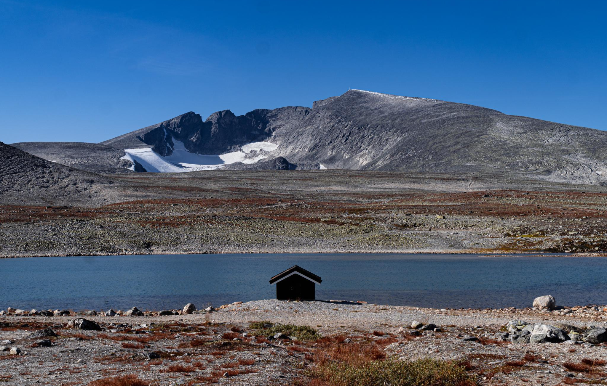
SignaTUR SAGA – Reindeer, wild trails and mighty peaks
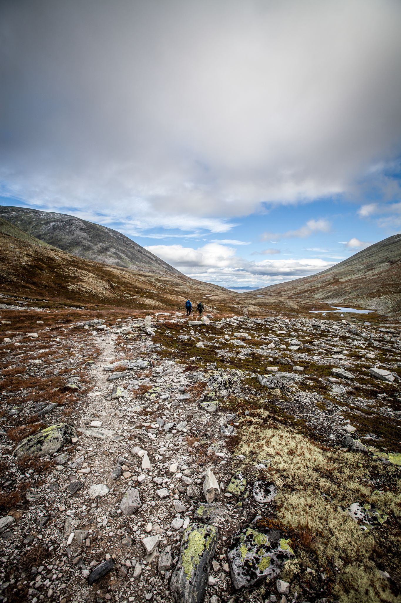
Hiking Rondane – six days in Norway's oldest national park
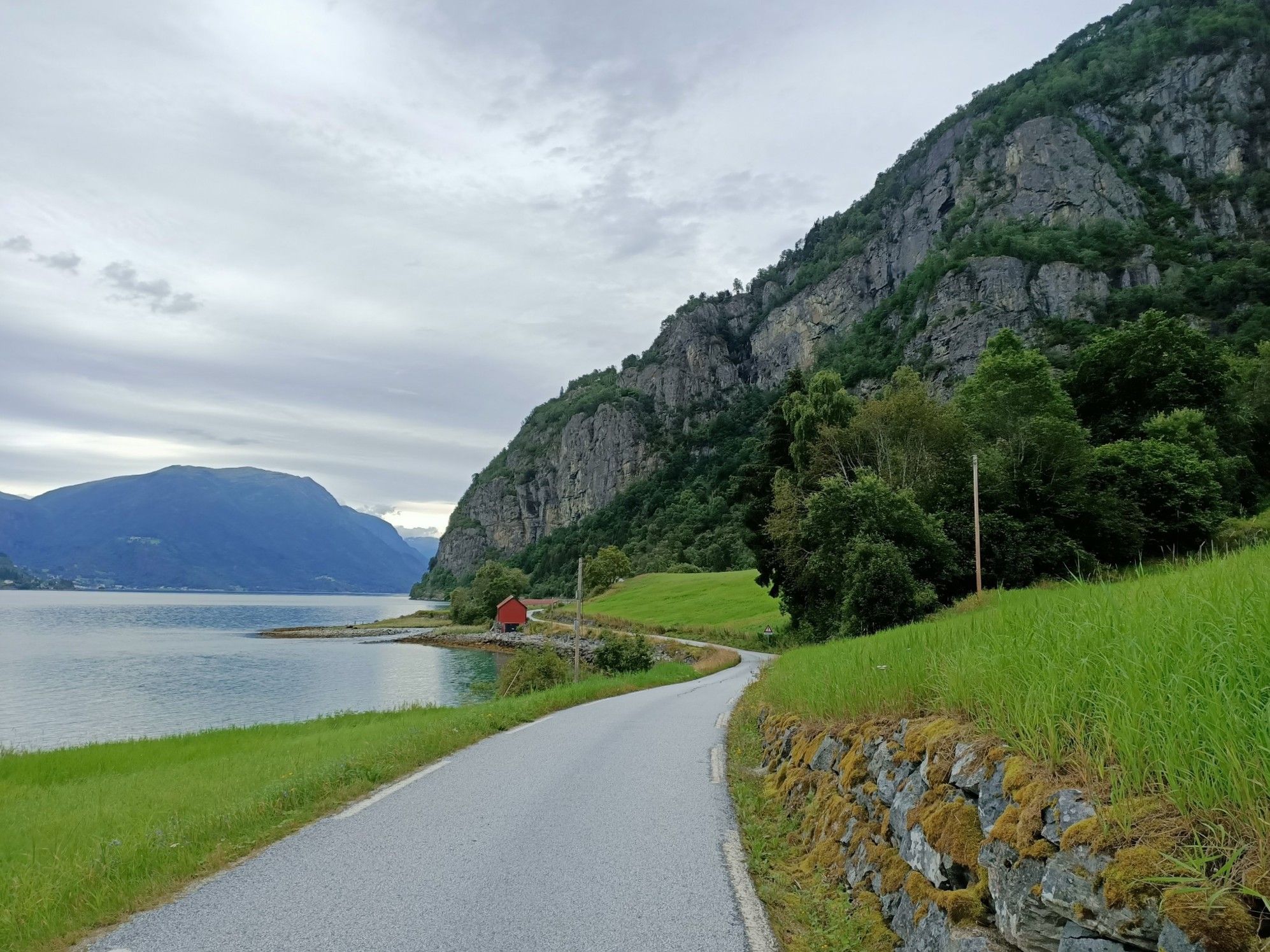
Beyond the peaks – Sognefjellsveien
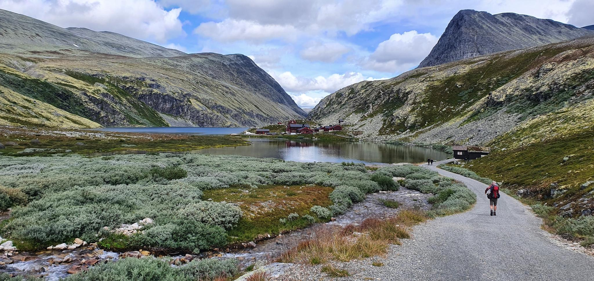
The Rondane Triangle – A Classic Loop in Norway’s First National Park
Discover nature and culture – day Tours in the south of Norway
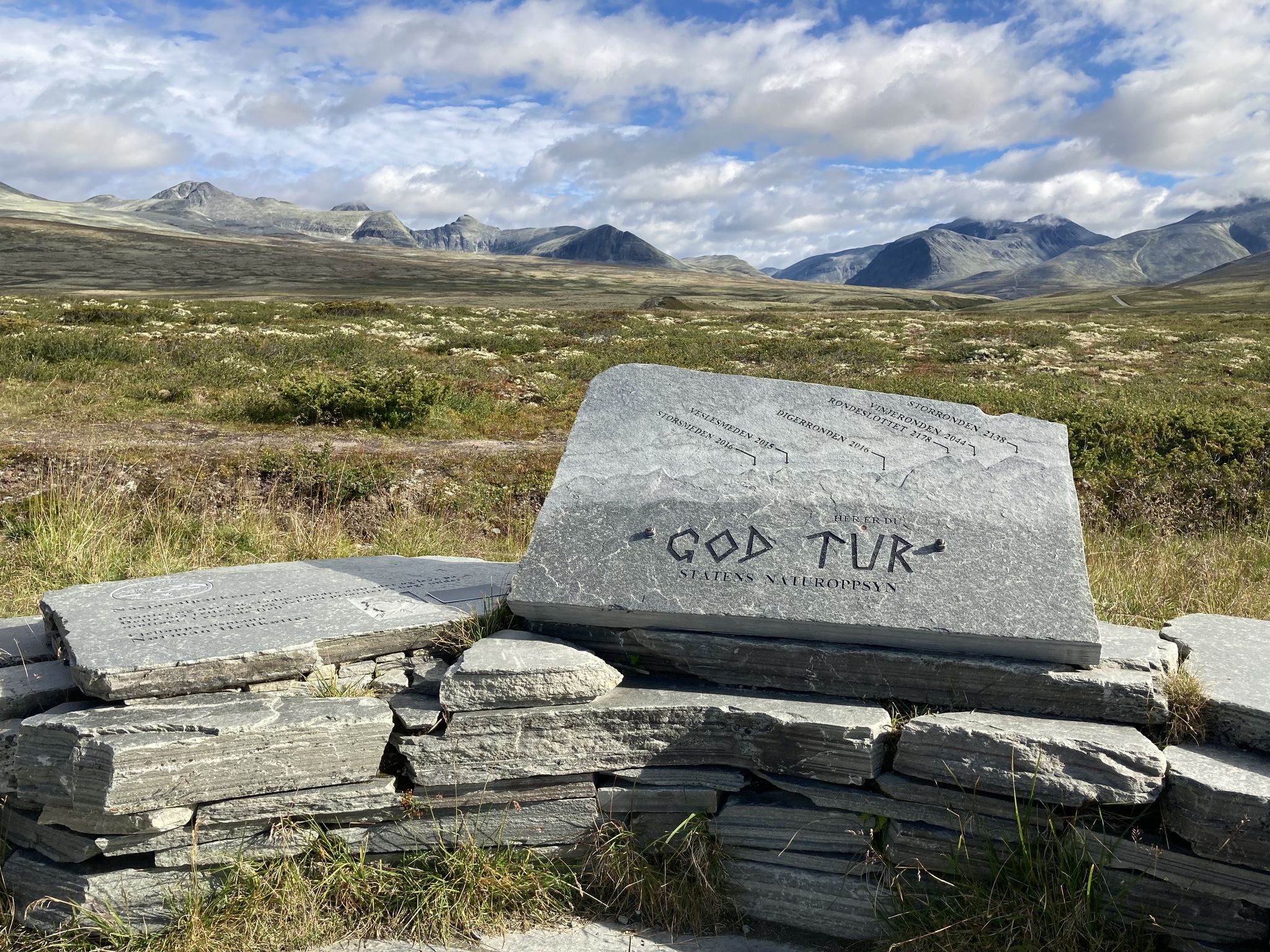
A loop in Norway’s spectacular Rondane National Park
Hiking around Sel
Running Trails around Sel
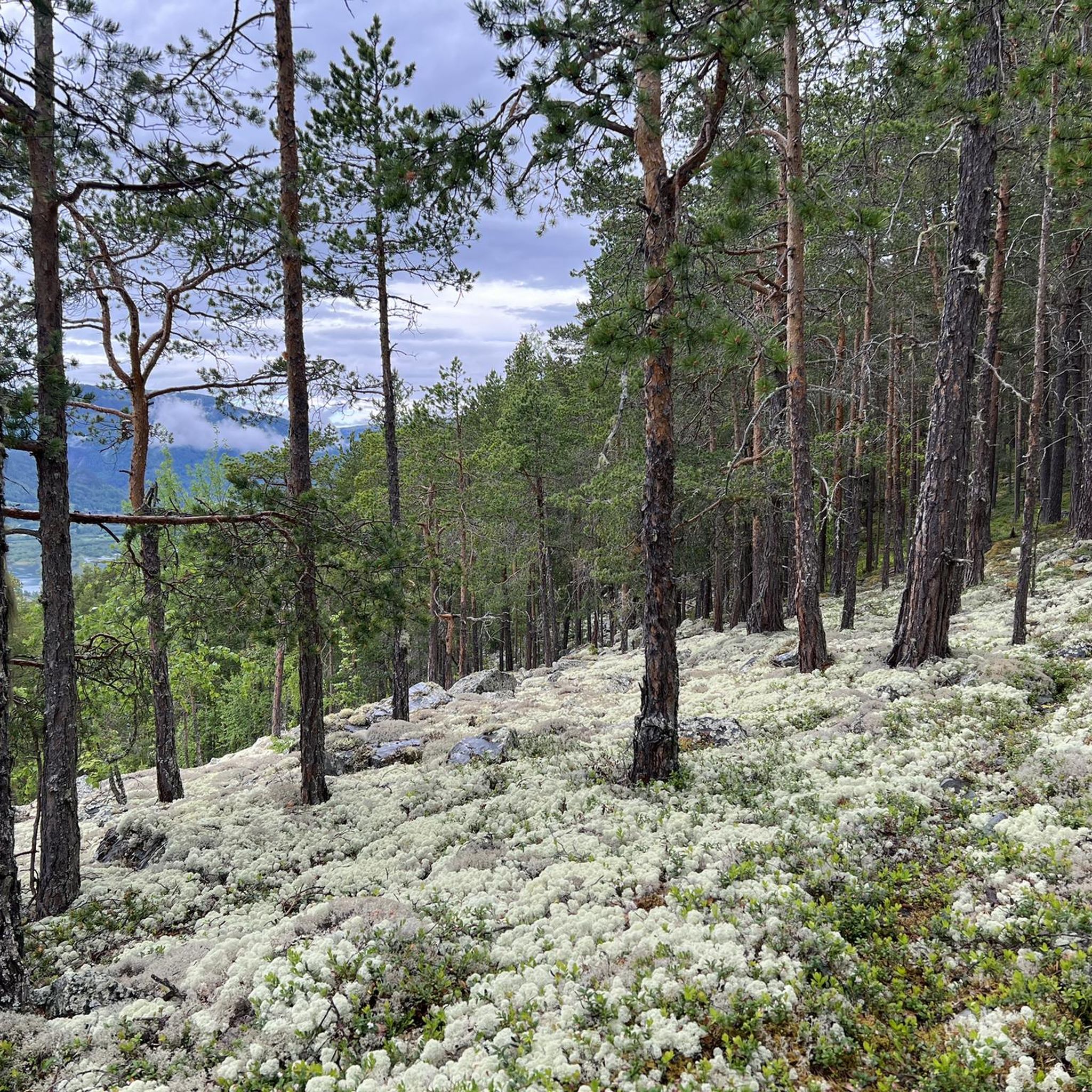
Cycling around Sel
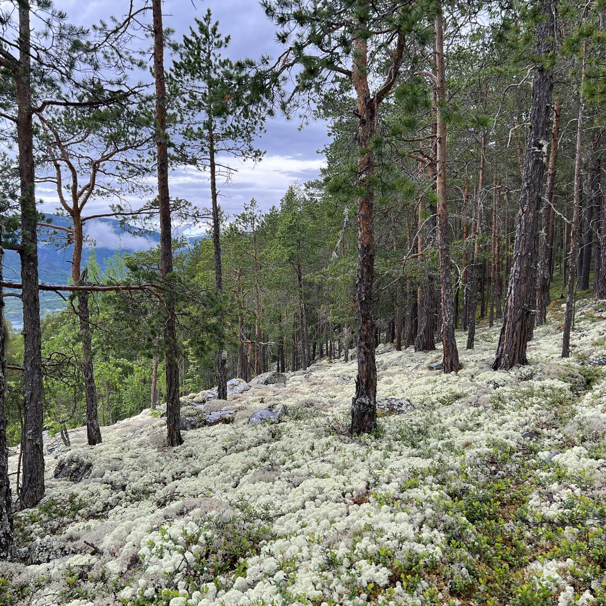
MTB Trails around Sel
Other adventures around Sel


Tips from the Community

Kvam is a small but historic village in Gudbrandsdalen, best known as the site of heavy fighting during World War II in 1940. Today it’s a peaceful stop with a war memorial, a distinctive wooden church and a couple of cafés where you can pause before continuing along the valley.
0
0
From the bridge at Vågåmo, where the Otta River flows into Lake Vågåvatnet, you get a striking view of the water on each side. Lake Vågåvatnet is a long, narrow lake at 362 metres (1,188 ft) above sea level, and the Otta River both flows into and out of it before running 148 kilometres (92 mi) down to meet the Gudbrandsdalslågen at the town of Otta.
0
0

Sundbrua crosses the Otta and gives you great views in both directions – nice little spot to pause.
0
0

Excellent relay station for bikepacking. The market has a large selection of food and other small items, including hot coffee. And clean washrooms. Very nice.
1
0

On the way to Dale-Gudbrands Gard you walk a long way along the country road. The pilgrim center itself is beautiful and has a very interesting history that is worth looking into in connection with the valley. Unfortunately, the rooms are given primarily to well-paying "pilgrims" traveling by car and as a single pilgrim you sometimes end up standing outside the door - that's a shame.
1
0
You should definitely spend a night on this ancient but beautiful farm if possible. There are places in the world where you feel at home straight away - this is one of them.
1
0
For me, one of the most beautiful churches I have ever visited. It was built in the log cabin style and exudes a very cozy, homely atmosphere. The only church I have ever seen with a wood-burning stove. Simple but beautiful!
1
0

The tent areas are not particularly inviting. There are no trees and unfortunately there is no river or lake, as the square is wedged between two streets. He is excellently equipped for this. You can buy groceries at the reception and there is a very well equipped service house. There are very neat sanitary facilities and two kitchens with seating.
0
0
Frequently Asked Questions
What is the typical difficulty level for road cycling routes in Sel?
Road cycling in Sel primarily caters to experienced cyclists. Out of the 8 available routes, 7 are rated as difficult, offering significant elevation gains and challenging terrain. There is one moderate route available for those seeking a less strenuous ride.
What kind of terrain can I expect when road cycling in Sel?
You can expect a diverse landscape characterized by majestic mountains and lush valleys. Routes often feature winding valley roads and challenging mountain passes, with the historic Sjoa River adding to the scenic backdrop. The region offers varied gradients suitable for demanding rides.
What is the best time of year for road cycling in Sel?
The best time to visit Sel for road cycling is during the summer months, typically from June to August. During this period, the weather is mild and ideal for exploring the natural scenery and tackling the varied terrain.
Are there any loop road cycling routes in Sel?
Yes, all the road cycling routes around Sel are designed as loops. For example, you can explore the challenging View of Lake Otta – Randsverk Camping loop from Øytun, which offers expansive views and significant elevation.
What do other cyclists say about road cycling in Sel?
The road cycling routes in Sel are highly rated by the komoot community, with an average score of 4.0 stars. Cyclists often praise the stunning natural beauty, the challenging climbs, and the rewarding views of areas like Lake Otta.
How can I reach Sel Municipality for road cycling?
Sel Municipality is accessible, with its administrative center, Otta, reachable by train, bus, and car from Oslo. This developed infrastructure supports tourism, including cycling, making it convenient to start your road cycling adventure.
What natural features or landmarks can I see while road cycling in Sel?
While cycling, you'll encounter majestic mountains, lush valleys, and the Sjoa River. You might also pass by stunning waterfalls, such as Ulafossen Waterfall, or catch glimpses of the impressive peaks like Formokampen, especially if your route takes you near Rondane National Park.
Are there specific viewpoints or scenic spots along the routes?
Many routes offer breathtaking views, particularly of Lake Otta and the surrounding mountainous terrain. The View of Lake Otta – Randsverk Camping loop from Blessumkalvkveen naturreservat is a prime example, known for its scenic vistas.
Can I combine road cycling with visiting waterfalls in Sel?
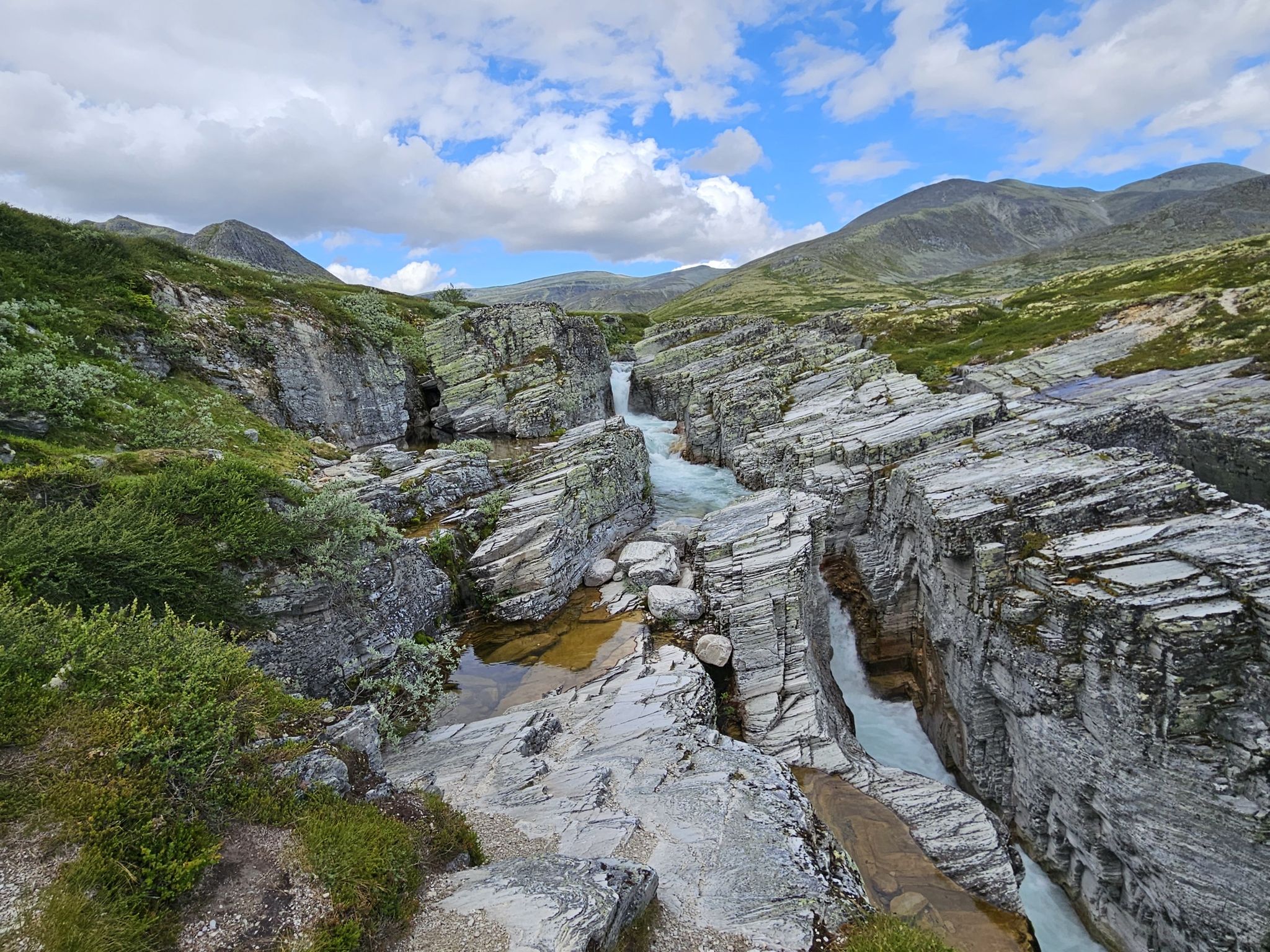
Yes, the region around Sel is home to several beautiful waterfalls. While specific cycling routes may not pass directly by all of them, you can plan your ride to include stops at highlights like Waterfall Canyon or Waterfalls in Rondane National Park, which are popular attractions in the area.
Is there a moderate road cycling route in Sel suitable for less experienced riders?
Yes, for those looking for a less demanding ride, the Kvam Suspension Bridge – Kvam loop from Kvam is a moderate route. It covers 57.4 km with a more manageable elevation gain compared to the other difficult routes in the region.
What is a challenging road cycling route with significant elevation gain in Sel?
For a truly challenging experience, consider the Kvam – Sel Church loop from Tolstadåsen. This difficult route spans over 111 km and features substantial elevation changes, leading through varied landscapes and past local landmarks.
Are there any other long and difficult road cycling routes in Sel?
Absolutely. The Sundbrua – View of Lake Otta loop from Lemonsjøen is another excellent option for experienced cyclists. This difficult route covers nearly 97 km and includes significant climbs, offering a rewarding challenge with stunning views.
Most popular attractions around Sel

Get inspired with the komoot mobile app


Explore more
Browse the best Road cycling routes in other regions.
