The best road cycling routes around Lom
5.0
(5)
252
riders
10
rides
Road cycling routes around Lom offer access to a mountainous landscape in Innlandet, Norway, characterized by high peaks, deep valleys, and glacial features. The region is a gateway to Jotunheimen, Breheimen, and Reinheimen National Parks, featuring over 135 mountain peaks within its municipality, including Norway's two highest. Road cyclists can expect varied terrain, from challenging ascents to scenic descents, with the Bøvra River flowing through the village and the emerald-green lake Gjende nearby.
Best road cycling routes around Lom
- The…
Last updated: July 12, 2026
55
riders
66.9km
04:06
1,790m
1,790m
Hard road ride. Very good fitness required. Mostly well-paved surfaces and easy to ride.
5.0
(1)
38
riders
100km
04:57
1,430m
1,430m
Hard road ride. Very good fitness required. Some segments of this route may be unpaved and difficult to ride.

Sign up for free
5.0
(1)
34
riders
27.8km
02:22
1,290m
1,290m
Hard road ride. Very good fitness required. Mostly well-paved surfaces and easy to ride.
24
riders
101km
06:05
1,890m
1,890m
Hard road ride. Very good fitness required. Some segments of this route may be unpaved and difficult to ride.
5.0
(1)
14
riders
63.2km
03:16
720m
720m
Moderate road ride. Good fitness required. Some segments of this route may be unpaved and difficult to ride.
Get access to more routes and recommendations from other explorers.
Sign up for free
Already have an account?
Our route recommendations are based on thousands of hikes, rides, and runs completed by other people on komoot.
Start today with a free account
Your next adventure awaits.
Login or Signup
Popular around Lom
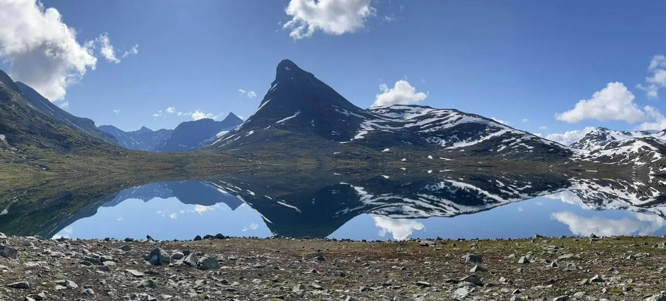
SignaTUR Omveien – Vast wilds, epic peaks and deep valleys

MASSIV-Ruta – Steep mountains and deep valleys, a Norwegian adventure
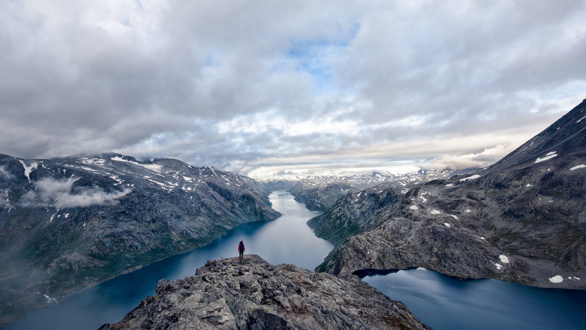
A 5-day-hike around Norway's Jotunheimen
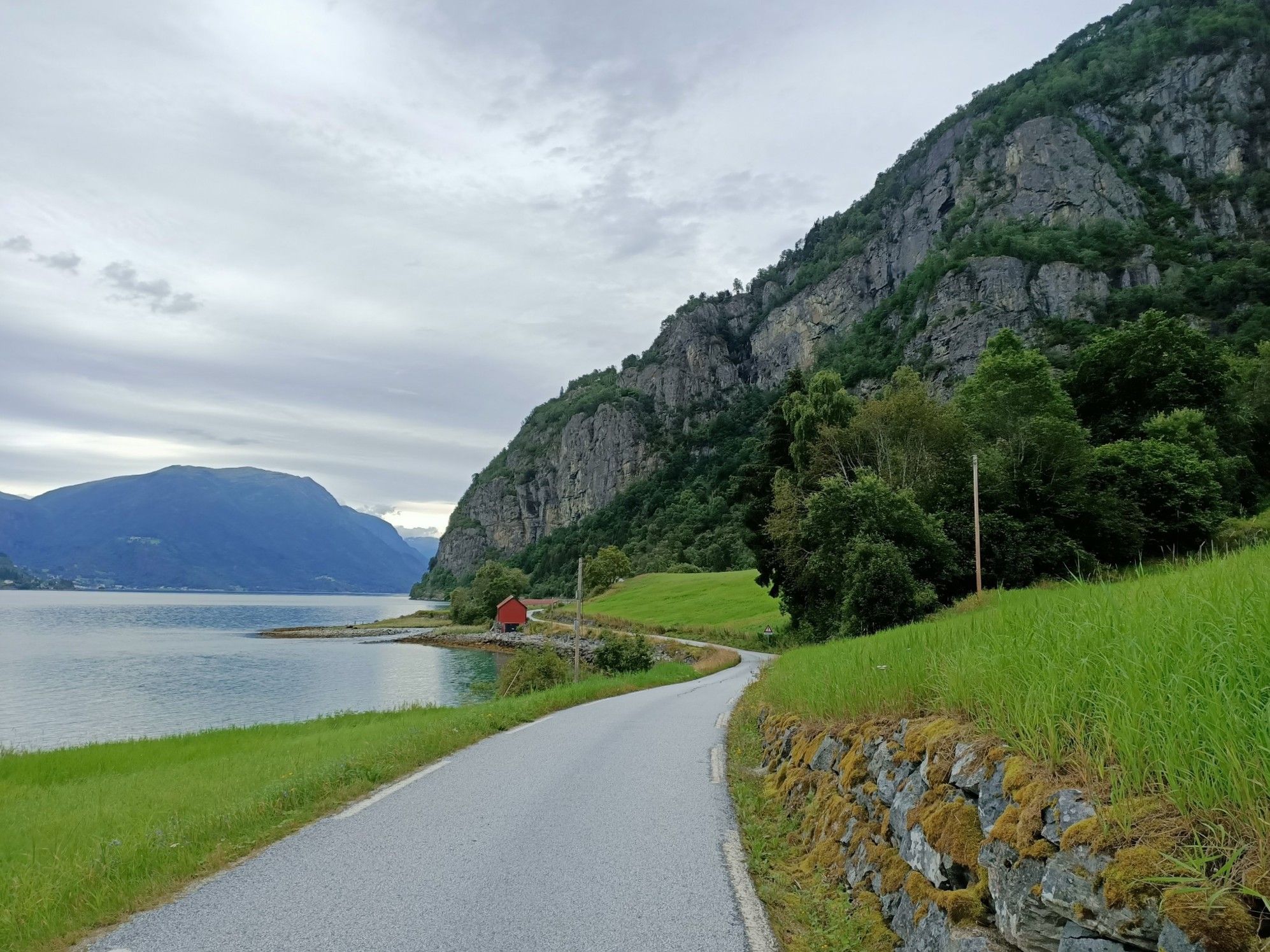
Beyond the peaks – Sognefjellsveien
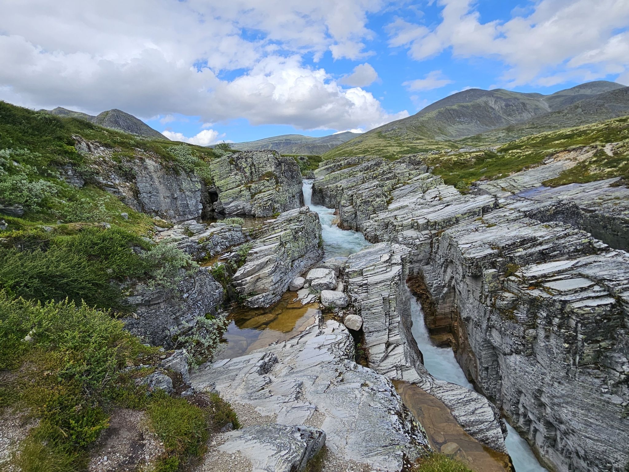
Discover nature and culture – day Tours in the south of Norway
The secret gardens of Jotunheimen – among Norway's giants
Hiking around Lom
Running Trails around Lom
Cycling around Lom
MTB Trails around Lom
Other adventures around Lom


Tips from the Community

Lom Stave Church is one of Norway's largest and most well-preserved stave churches, located in the village of Lom. Dating back to the 12th century, it is famous for its dragon-head carvings on the roof and its richly decorated interior, which includes intricate carvings and frescoes. Unlike many other stave churches, it has remained in continuous use for centuries and has been expanded over time, most notably with the addition of a transept in the 17th century.
1
0
Vågåvatn is a large, beautiful lake with turquoise and crystal-clear waters, originating from glacial meltwater in the nearby Jotunheimen mountains. The village of Vågåmo located at its eastern end, offering scenic views and recreational opportunities.
0
0

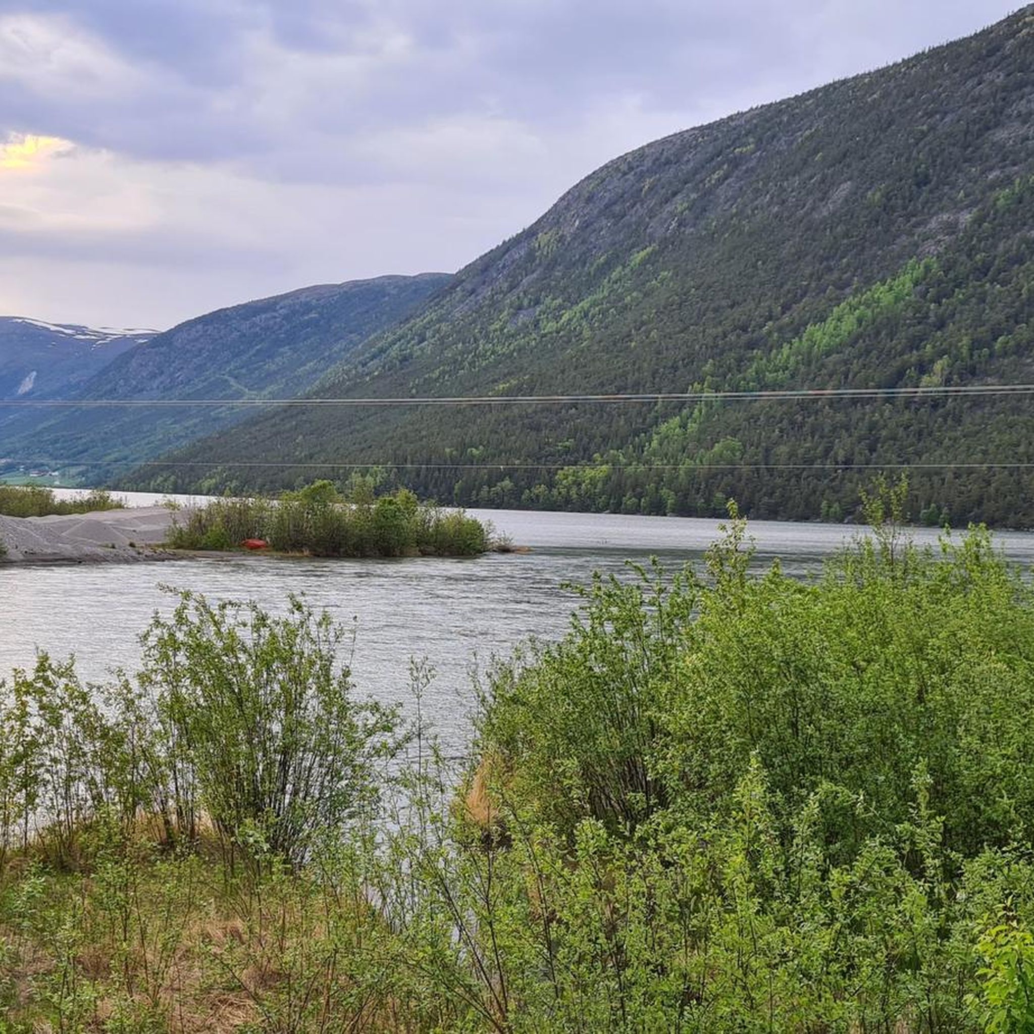
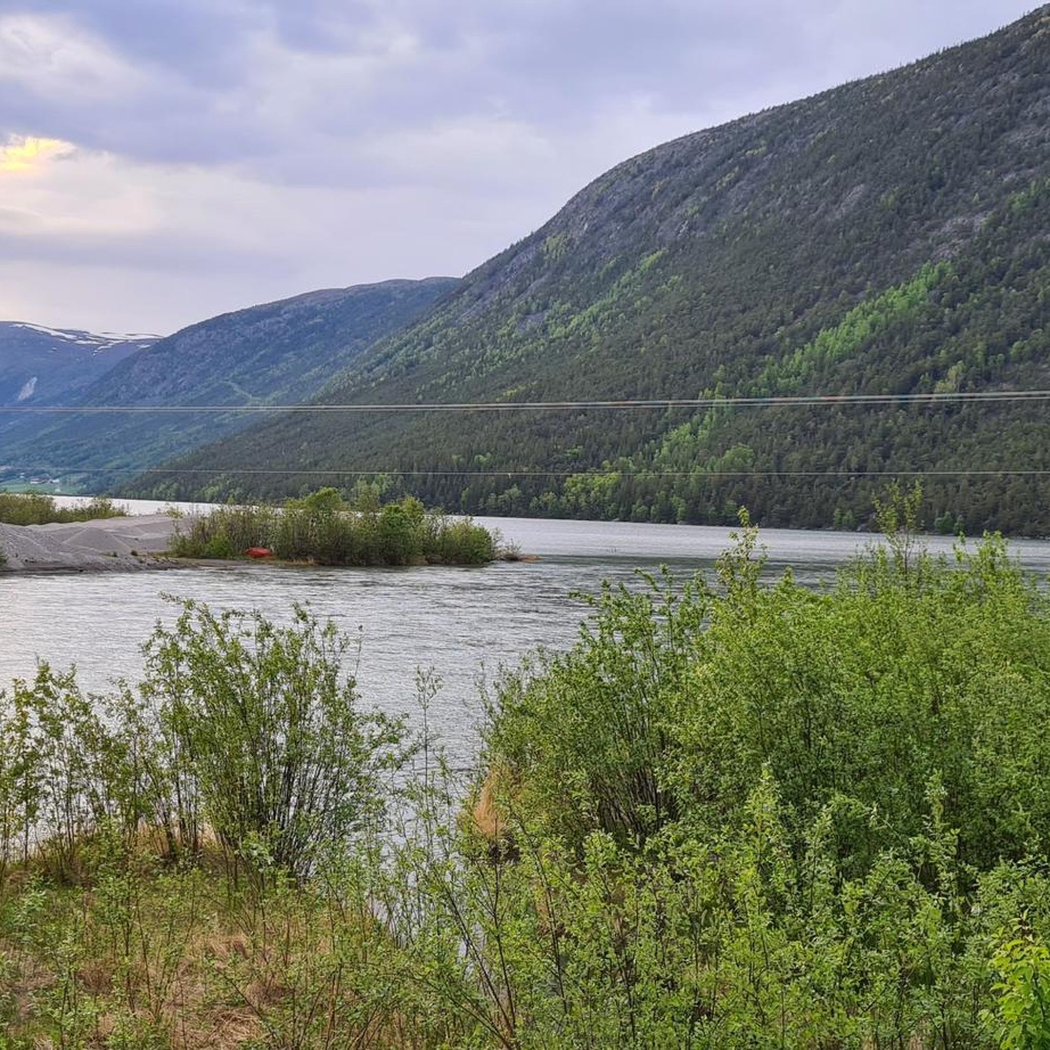
From the bridge at Vågåmo, where the Otta River flows into Lake Vågåvatnet, you get a striking view of the water on each side. Lake Vågåvatnet is a long, narrow lake at 362 metres (1,188 ft) above sea level, and the Otta River both flows into and out of it before running 148 kilometres (92 mi) down to meet the Gudbrandsdalslågen at the town of Otta.
0
0


A breathtaking scenery with snow in midsummer. The highest point is the Fantesteinen. In midsummer (late June), you can even still see cross-country skiers – so it's still very cool to cold.
0
0


Sundbrua crosses the Otta and gives you great views in both directions – nice little spot to pause.
0
0

A great starting point to start a tour. You can also park your car here for several days. There is even the option to take a shower, but it costs 75 krone.
0
0
Frequently Asked Questions
What kind of terrain can I expect when road cycling around Lom?
Road cycling around Lom offers a diverse and challenging terrain. You'll encounter towering mountain peaks, deep glacial valleys, and winding rivers. The region is known for its significant elevation gains, especially on routes like the Juvasshytta Climb, which features a challenging ascent towards Juvasshytta. Expect a mix of challenging climbs and exhilarating descents with panoramic views.
Are there any easy or moderate road cycling routes in Lom for less experienced riders?
While Lom is renowned for its challenging mountain routes, there are options for varying skill levels. Out of the 10 available routes, 1 is classified as easy and 2 are moderate. A good moderate option is the View of Vågåvatn – Lom Stave Church loop from Lom stavkyrkje, which covers 63.3 km and offers a less strenuous experience compared to the high mountain passes.
What are the most scenic viewpoints or natural features to look out for on road cycling routes near Lom?
Lom is surrounded by breathtaking natural beauty. The Sognefjellet Pass Summit offers spectacular views of snow-filled mountains. You can also experience the dramatic Bøvra River, which flows through the center of Lom, and the picturesque emerald-green lake Gjende nearby. The region is also home to numerous waterfalls, including the Prestfossen Waterfall right in Lom.
What is the best time of year for road cycling in Lom?
The best time for road cycling in Lom is typically during the summer months, from late spring to early autumn. This is when the high mountain passes, such as the Sognefjellet National Tourist Route, are clear of snow and fully accessible. The region's climate allows for a transition from high mountain environments to the Sognefjorden in less than two hours during summer, offering diverse cycling conditions.
Are there any iconic road cycling routes in Lom that are considered 'bucket-list' rides?
Absolutely. The Sognefjellet National Tourist Route, accessible from Lom, is widely considered a 'bucket-list ride' and the highest, most impressive mountain pass in Northern Europe. The eastern approach from Lom offers a longer and gentler ascent, showcasing rivers, waterfalls, and lakes, culminating in spectacular views at its highest point of 1,434 meters. The Lom Stave Church – Sognefjellshytta loop from Fossbergom is a great way to experience this dramatic pass.
What cultural or historical landmarks can I visit near the cycling routes in Lom?
Beyond its natural beauty, Lom offers rich cultural and historical attractions. The magnificent 12th-century Lom Stave Church is a must-see, renowned for its intricate carvings. You can also visit the Norwegian Mountain Center (Norsk fjellsenter) for insights into the region's heritage, or the Lom Bygdamuseum to experience traditional Norwegian life.
What do other road cyclists enjoy most about road cycling in Lom?
The road cycling routes in Lom are highly rated by the komoot community, with an average score of 5.0 stars from over 5 reviews. Cyclists often praise the dramatic mountain scenery, the challenging ascents, and the unique experience of riding through a gateway to three national parks. The variety of terrain, from high mountain passes to lush valleys, is also frequently highlighted.
Are there any circular road cycling routes available around Lom?
Yes, many of the routes around Lom are designed as loops, allowing you to start and end in the same location. Examples include the popular Sognefjellshytta – Tindevegen Trailhead Parking loop from Sognefjellshytta, which is 61.2 km, and the challenging Juvasshytta Climb – Juvasshytta loop from Bøverdal kyrkje.
What are the typical distances and elevation gains for road cycling routes in Lom?
Road cycling routes in Lom vary significantly in distance and elevation. You can expect routes ranging from approximately 27 km to over 100 km. For instance, the Juvasshytta Climb is 27.8 km with over 1290 meters of elevation gain, while the Lom Stave Church – Juvasshytta loop from Bismo spans over 101 km with nearly 1900 meters of climbing. Most routes feature significant ascents due to the mountainous landscape.
How many road cycling routes are available in the Lom region?
There are 10 road cycling routes available around Lom, catering to various skill levels. These routes offer access to the region's stunning mountainous landscape, characterized by high peaks, deep valleys, and glacial features.
Can I find routes that take me through or near national parks from Lom?
Yes, Lom is strategically located as a gateway to three prominent national parks: Jotunheimen, Breheimen, and Reinheimen. Many road cycling routes will take you through or offer views of these majestic areas, providing an immersive experience in Norway's highest mountain regions. The Sognefjellet National Tourist Route, for example, traverses parts of this high mountain environment.
Are there any specific waterfalls I can see along the road cycling routes?
Yes, the region around Lom is rich with waterfalls. The Prestfossen Waterfall is located right in the village of Lom, and the Bøvra River, which features this waterfall, is a prominent feature in the area. Other notable waterfalls include Stuttgongfossen and Hellerfossen Waterfall, which can be found in the wider region.
Most popular attractions around Lom

Get inspired with the komoot mobile app


Explore more
Browse the best Road cycling routes in other regions.
