The best road cycling routes around Vuadens
4.7
(132)
8,250
riders
183
rides
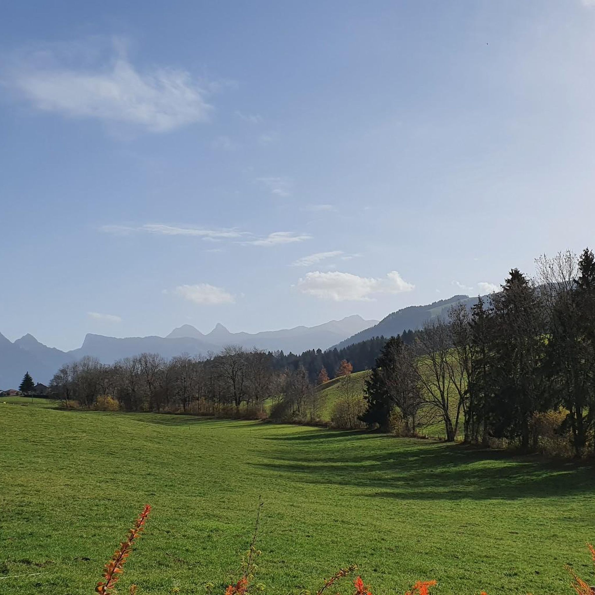
Road cycling routes around Vuadens traverse a varied topography within the Fribourg canton of Switzerland. The commune's elevation ranges from 780 meters to 1322 meters, with the village center at 803 meters, providing a mix of challenging climbs and moderate routes. The landscape is characterized by extensive agricultural areas and forests, offering scenic rides through verdant fields and wooded sections. This region features rolling hills, which are well-suited for road cycling.
Best road cycling routes around Vuadens
- The most popular…
Last updated: May 14, 2026
5.0
(1)
205
riders
123km
07:10
2,350m
2,350m
Hard road ride. Very good fitness required. Mostly well-paved surfaces and easy to ride.
5.0
(5)
232
riders
63.7km
03:49
700m
700m
Moderate road ride. Good fitness required. Mostly well-paved surfaces and easy to ride.

Sign up for free
114
riders
61.0km
03:40
1,130m
1,130m
Hard road ride. Very good fitness required. Some segments of this route may be unpaved and difficult to ride.
5.0
(3)
106
riders
34.6km
01:55
570m
570m
Moderate road ride. Good fitness required. Mostly well-paved surfaces and easy to ride.
5.0
(1)
114
riders
58.1km
02:51
700m
700m
Moderate road ride. Good fitness required. Mostly well-paved surfaces and easy to ride.
Get access to more routes and recommendations from other explorers.
Sign up for free
Already have an account?
Our route recommendations are based on thousands of hikes, rides, and runs completed by other people on komoot.
Start today with a free account
Your next adventure awaits.
Login or Signup

Tips from the Community

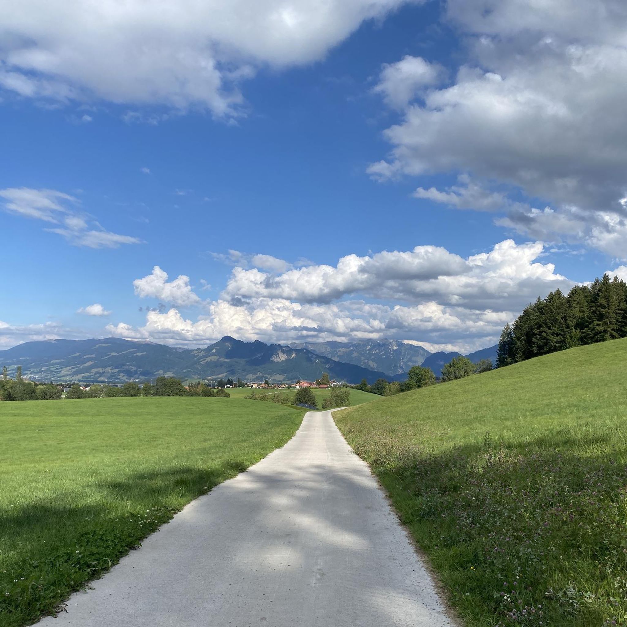
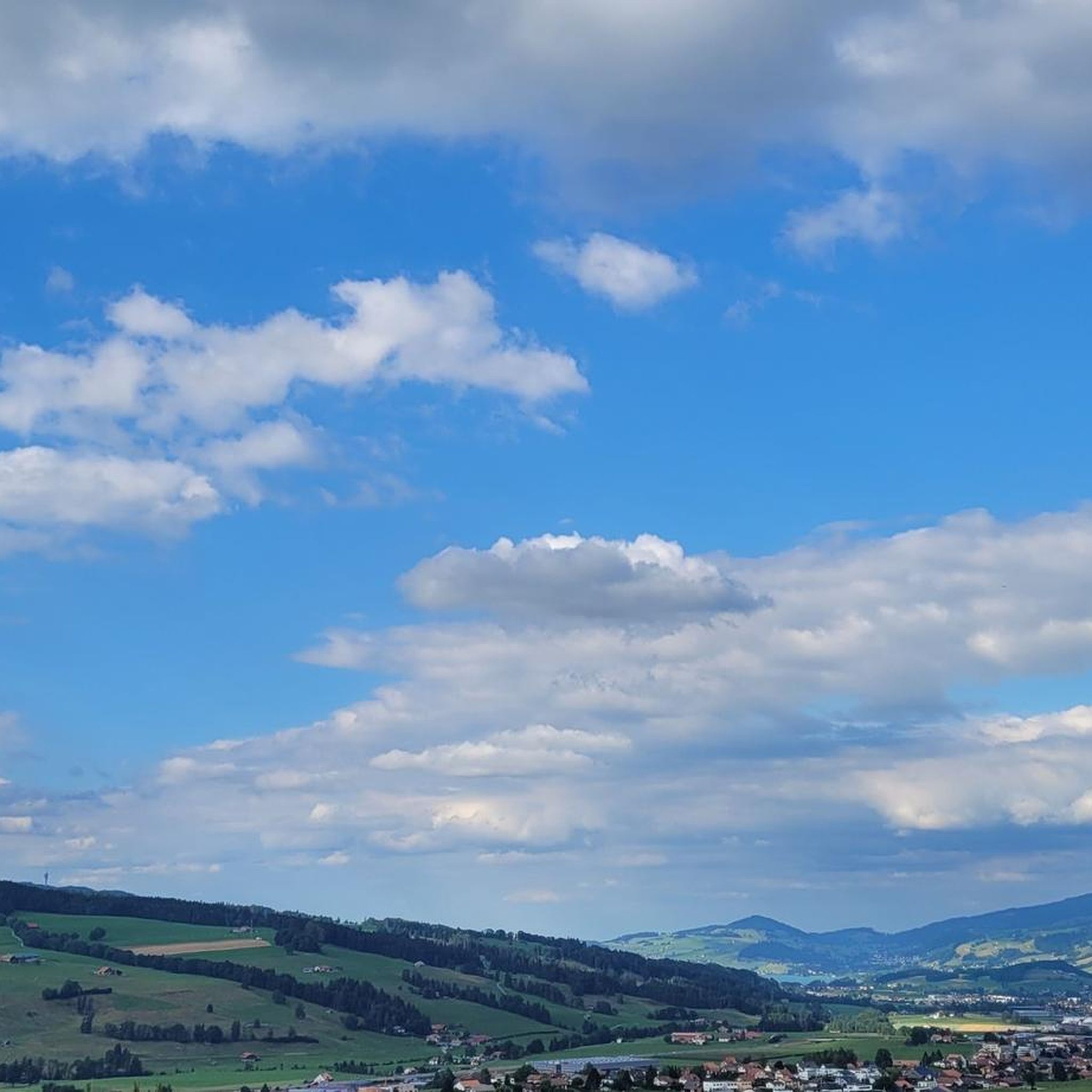
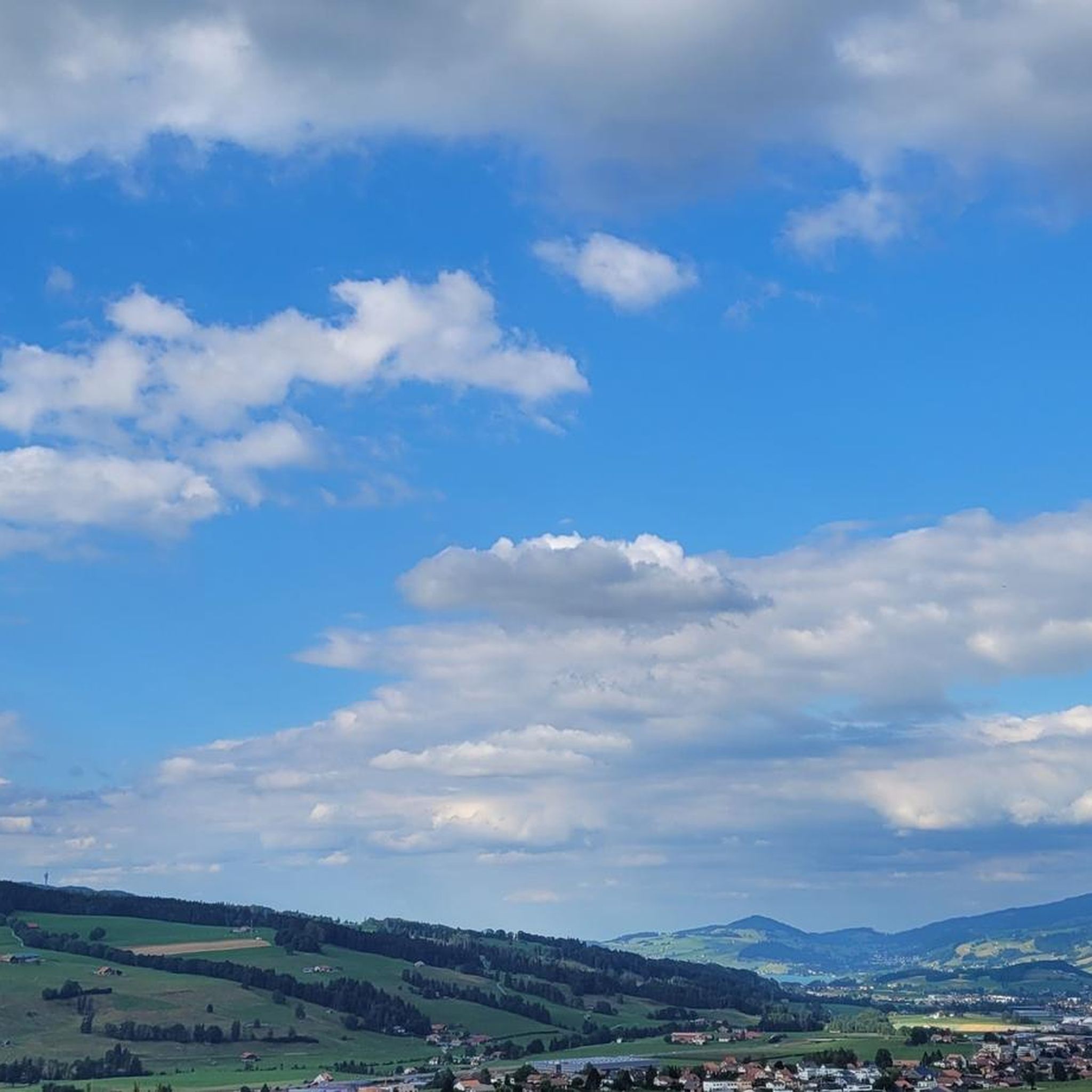
beautiful view and accessible path, as well as a good alternative to the cantonal road
0
0

In the video we show you some impressions of the scavenger hunt: https://www.youtube.com/watch?v=DE17qgEeD28ee
0
0
Follow in the footsteps of the dairy farmers with a digital scavenger hunt: In Broc, on the southern shore of Lake Gruyère, an interactive puzzle adventure will transport you to the Alpine world and its traditions! On the approximately five-kilometer (five-hour) loop, you'll find yourself in the heart of the Alpine season in 1890. Equipped with a puzzle kit and the mobile app, you'll solve exciting challenges and discover the golden rules of traditional Alpine cheese production. Amidst nature and cultural heritage, checkpoints along the way will reveal how the dairy farmers lived and worked in the La Gruyère region. This experience, full of fun, teamwork, and discovery, is ideal for families, friends, school classes, or groups who want to experience the La Gruyère region in a unique way. The puzzle kit is available online, at the tourist office in Bulle, or at the tourist office in Gruyères. ] Please note that this is a printed paper kit, which is subject to a delivery time when ordered online. For immediate use, we recommend purchasing it directly from the tourist offices in Bulle or Gruyères. You can find the kit online here: https://discover.smeetz.com/fr/product/b2b/kit-jeu-de-piste-les-secrets-de-lalpage?referrer=website&%E2%80%8Cutm_medium=smeetzReferralLink&productId=73525
0
0

Superb pass but be careful when leaving Sannen, the end of the climb is full of slopes at 15-16%
0
0

Gstaad is located at 1,050 m in the Saanenland region and combines alpine authenticity with stylish charm. Known as an exclusive holiday resort, it is also an ideal starting point for hikes, bike tours, and high-altitude tours in the surrounding area. Highlights: ✅ Access to Geltenhütte, Lauenensee, Wispile, Wildhorn, Sanetschpass, and many more. ✅ Hiking trails & bike routes for all levels – from panoramic paths to alpine challenges. ✅ Charming village center with traditional chalets, boutiques & cafés 🏘️☕ ✅ Perfect base for multi-day tours into the Obersimmental, Wallis, or Freiburgerland. Special Tips: 🔹 Hike or bike to Lauenensee. 🔹 Ascent to the Geltenhütte SAC and continue to Wildhorn. 🔹 Panoramic tour to Wispile – also accessible by cable car. 🔹 Discover cheese and chalet culture 🧀🏡 Recommendation: Summer: Hiking, biking, and nature paradise 🌞 Winter: Cross-country ski trails, ski tours, snowshoeing ❄️ Getting there: By train via Montreux or Zweisimmen, by car via the Simmental.
0
0

Beautiful road, away from traffic, with a short, sharp climb
0
0
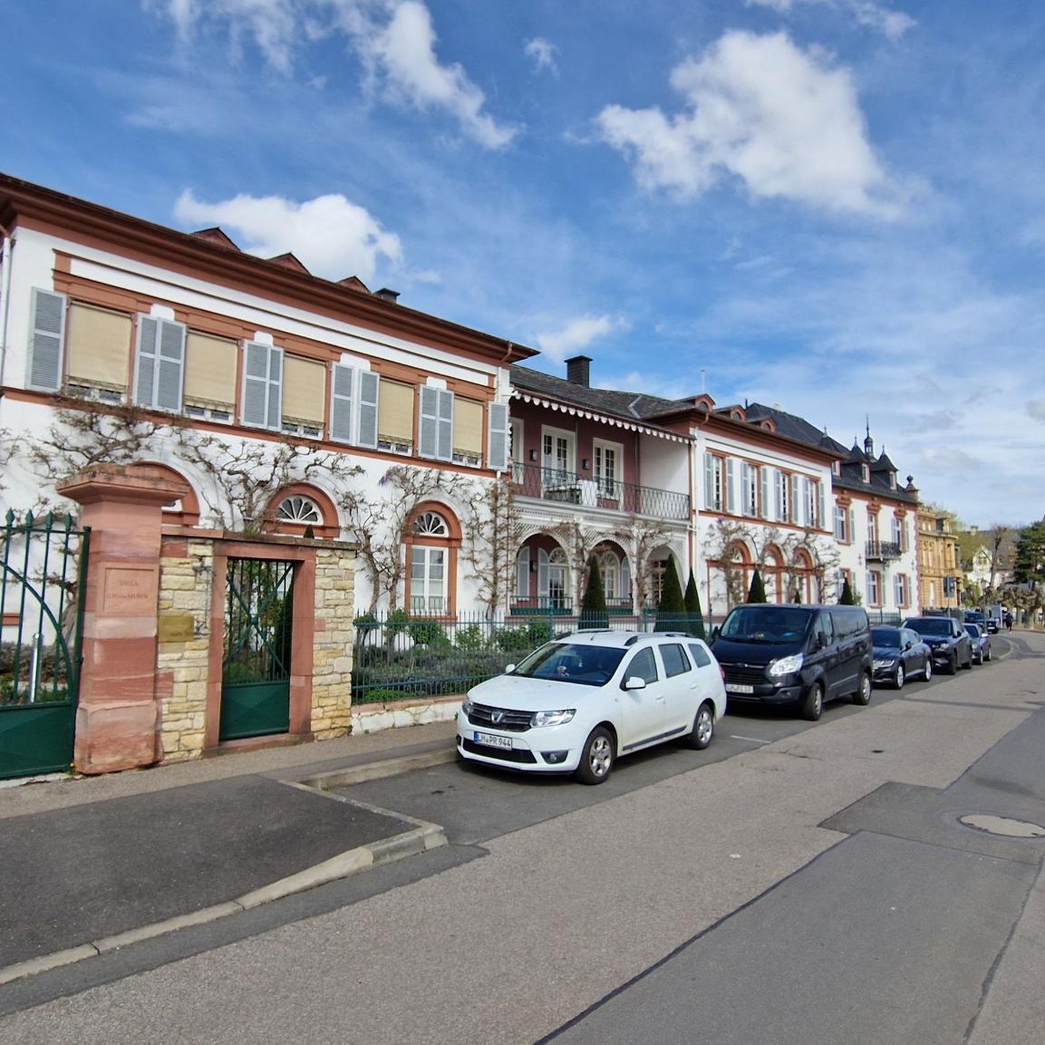
Wonderful view of the castle
0
0

A quick stop to fill your water bottles is worth it. It's an impressively beautiful and large covered fountain. The water is clear, drinkable, and very refreshing. It's located in the small village center of picturesque Lessoc.
0
0
Frequently Asked Questions
How many road cycling routes are available around Vuadens?
There are over 180 road cycling routes available around Vuadens, offering a wide range of options for different skill levels and preferences.
What kind of terrain and difficulty levels can I expect for road cycling in Vuadens?
The region around Vuadens features a varied topography with altitudes ranging from 780 meters to 1322 meters. You'll find a mix of challenging climbs and more moderate routes through rolling hills, extensive agricultural areas, and forests. Komoot offers 11 easy, 90 moderate, and 84 difficult routes, ensuring options for all abilities.
Are there any notable landmarks or attractions to see along road cycling routes in Vuadens?
Yes, many routes connect Vuadens with neighboring communes and attractions. You can cycle towards the famous medieval town of Gruyères Old Town, known for its castle and cheese. Other potential stops include the picturesque village of Lessoc with its covered fountain, or routes offering views of the Bulle Castle and the artificial lake created by Europe's oldest double arch dam.
Can I find scenic viewpoints on road cycling routes around Vuadens?
Absolutely. The diverse elevation and natural landscapes provide numerous opportunities for scenic views. Routes often pass through verdant fields and wooded areas, with some leading towards the base of Le Moléson, offering rewarding climbs and panoramic vistas. The Lac de la Gruyère – View of Chateau Gruyéres loop from Bulle, for instance, offers beautiful lake views.
Are there circular road cycling routes available in Vuadens?
Yes, many of the road cycling routes around Vuadens are designed as loops, allowing you to start and end in the same location. Examples include the Veveyse Valley – La Sionge Road loop from Bulle or the Vaulruz Church – Bulle Castle loop from Bulle.
What is the best time of year for road cycling in Vuadens?
The region is generally excellent for road cycling during spring, summer, and early autumn. These seasons offer pleasant temperatures and lush landscapes. While winter cycling is possible, road conditions can be challenging due to snow and ice, especially at higher elevations.
Are there family-friendly road cycling routes around Vuadens?
Yes, among the 185 routes, there are 11 classified as easy, which are generally more suitable for families or those looking for a relaxed ride. These routes often feature less elevation gain and traverse quieter agricultural roads.
What do other road cyclists enjoy most about cycling in Vuadens?
The road cycling routes in Vuadens are highly rated by the komoot community, with an average score of 4.8 stars from over 100 reviews. Cyclists often praise the varied terrain, the scenic rides through agricultural and forested areas, and the well-maintained network of roads that connect charming villages and natural attractions.
Where can I find parking for road cycling routes near Vuadens?
Vuadens and its surrounding communes, such as Bulle, often have public parking facilities available. It's advisable to check local parking options in the specific starting village of your chosen route. Many routes, like those starting from Bulle, offer convenient access to parking.
Can I reach road cycling routes in Vuadens using public transport?
Yes, Vuadens is accessible by public transport, and many routes connect to nearby towns like Bulle, which are well-served by regional transport networks. Public transport options in Switzerland often accommodate bicycles, though it's always best to check specific carrier rules and peak hour restrictions for bike carriage.
Are there cafes or restaurants along the road cycling routes in the Vuadens and Gruyère region?
The region is dotted with charming villages and towns like Gruyères and Bulle, where you'll find numerous cafes and restaurants. Many routes pass through or near these settlements, providing excellent opportunities for a coffee stop or a meal to refuel during your ride.
What is the longest road cycling route around Vuadens?
One of the longer and more challenging routes is the Gorge on the north side of Les Mosses – Col des Mosses loop from Bulle, which spans 76.3 miles (122.8 km) and involves significant elevation gain, typically taking nearly 7 hours to complete.
Most popular routes around Vuadens
Most popular attractions around Vuadens

Get inspired with the komoot mobile app


Explore more
Browse the best Road cycling routes in other regions.
