The best walks and hikes around Vorderweißenbach
4.6
(3893)
21,042
hikers
74
hikes
Hiking around Vorderweißenbach, located in the Mühlviertel region, features a landscape characterized by rolling forested hills and open meadows. The area offers a network of trails that traverse gentle slopes and provide access to elevated viewpoints. This region is known for its serene natural environment, making it suitable for various hiking experiences.
Best hiking trails around Vorderweißenbach
- The most popular hiking route is 1000-Meter Spot – Sternstein Observation Tower loop from Sternstein, a 3.3 miles (5.2 km) trail that…
Last updated: July 11, 2026
4.8
(73)
329
hikers
5.17km
01:33
170m
170m
Easy hike. Great for any fitness level. Easily-accessible paths. Suitable for all skill levels.
4.8
(25)
196
hikers
8.87km
02:24
120m
120m
Moderate hike. Good fitness required. Easily-accessible paths. Suitable for all skill levels.

Sign up for free
4.7
(27)
204
hikers
9.82km
02:39
130m
130m
Moderate hike. Good fitness required. Easily-accessible paths. Suitable for all skill levels.
4.4
(12)
85
hikers
7.87km
02:11
140m
140m
Moderate hike. Good fitness required. Easily-accessible paths. Suitable for all skill levels.
4.8
(87)
369
hikers
6.94km
02:04
210m
210m
Moderate hike. Good fitness required. Easily-accessible paths. Suitable for all skill levels.
Get access to more routes and recommendations from other explorers.
Sign up for free
Already have an account?
Our route recommendations are based on thousands of hikes, rides, and runs completed by other people on komoot.
Start today with a free account
Your next adventure awaits.
Login or Signup
Popular around Vorderweißenbach

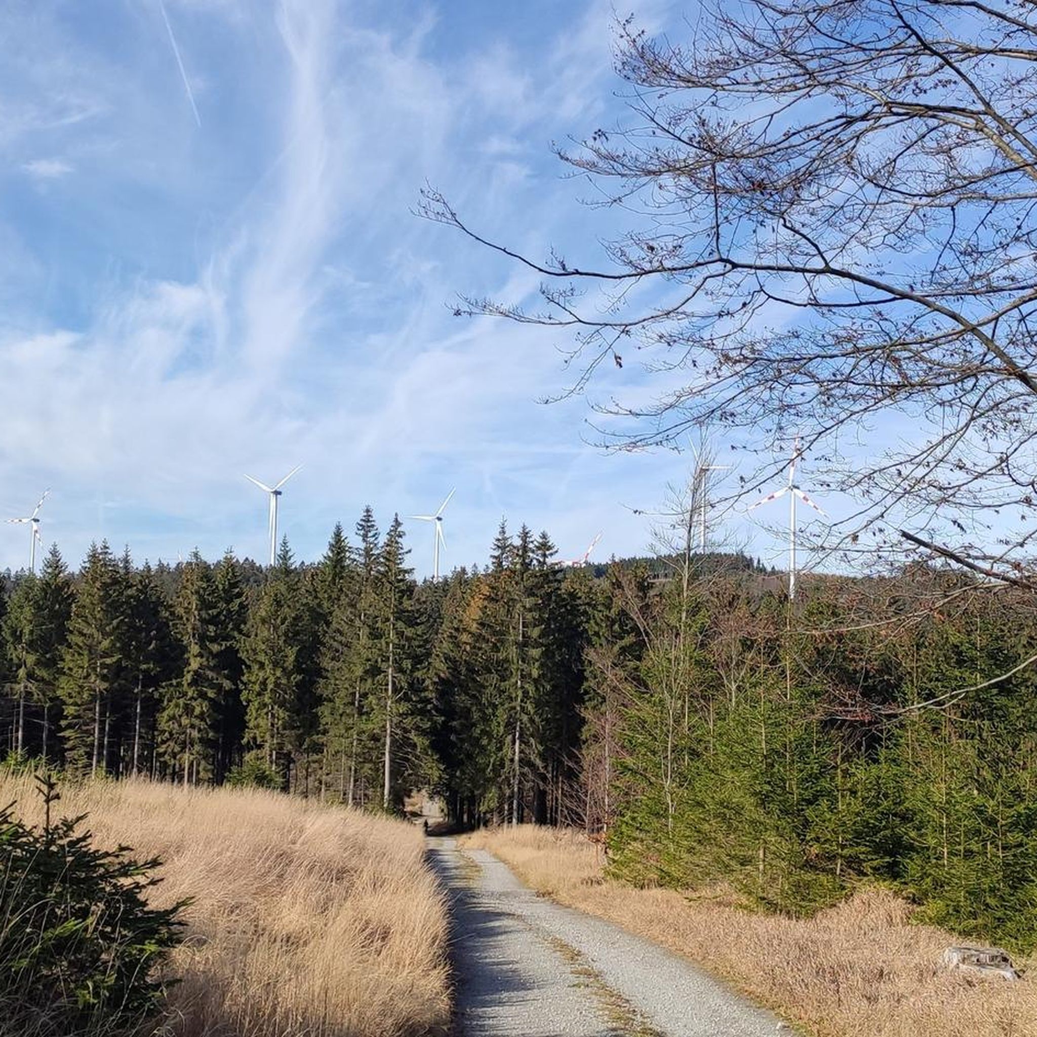
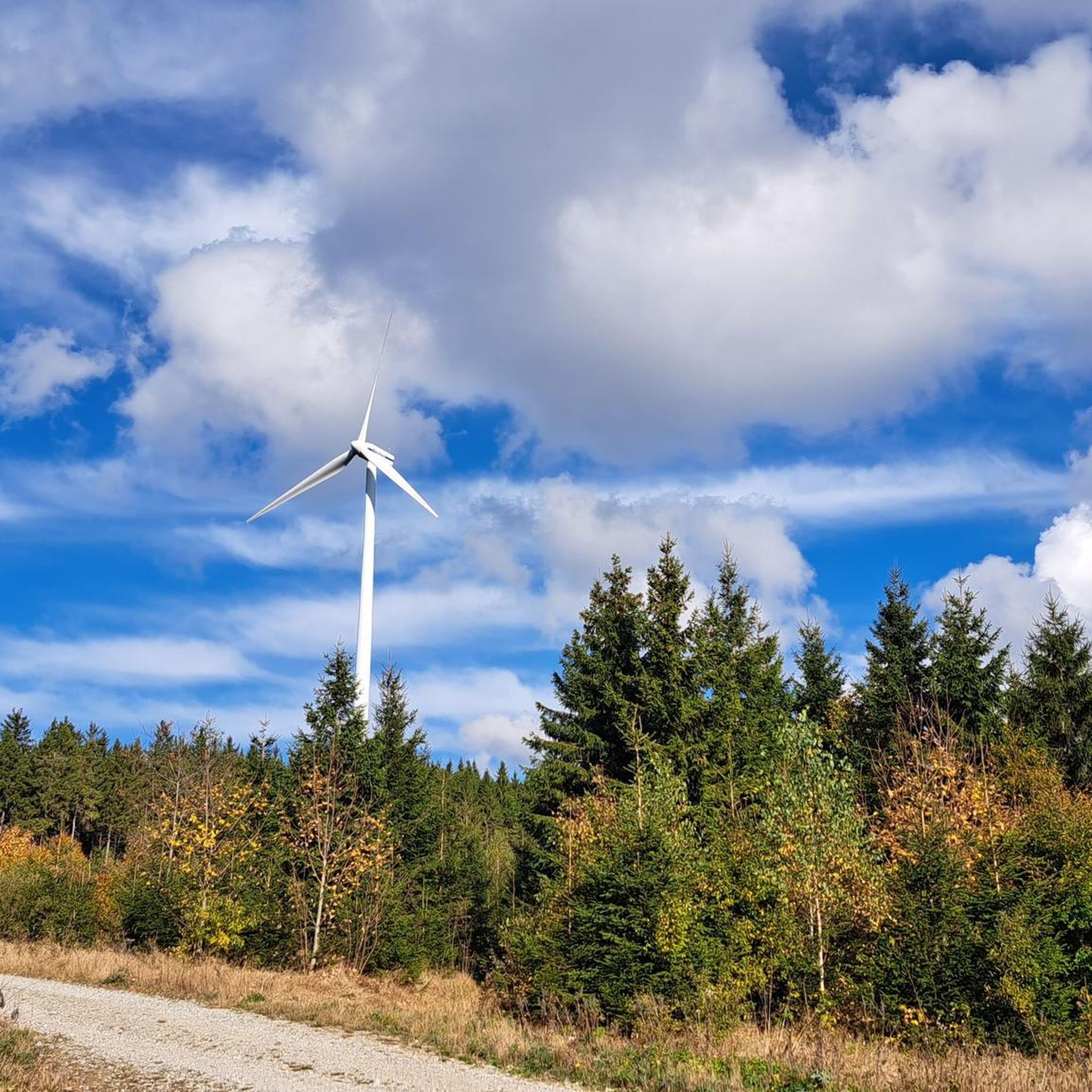
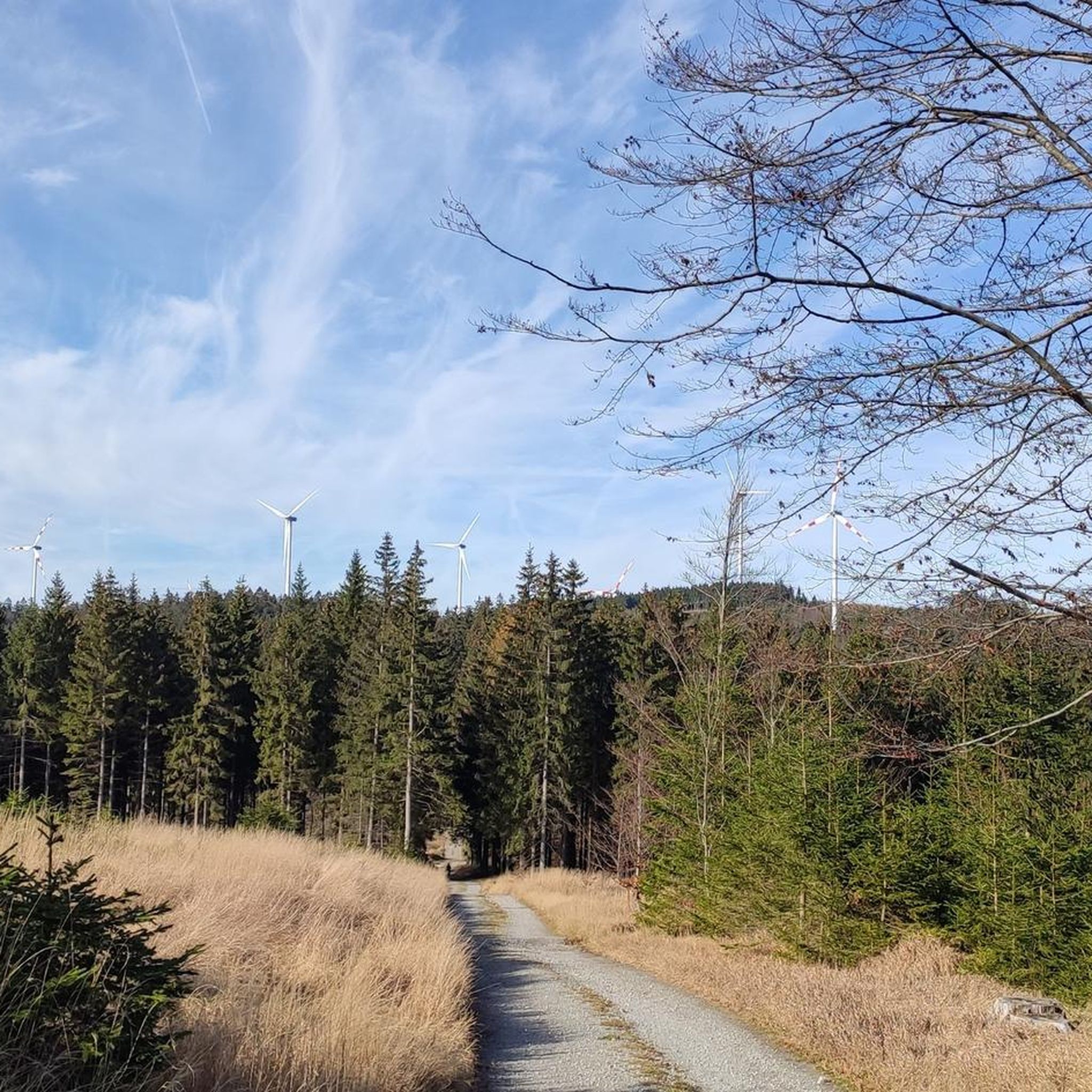
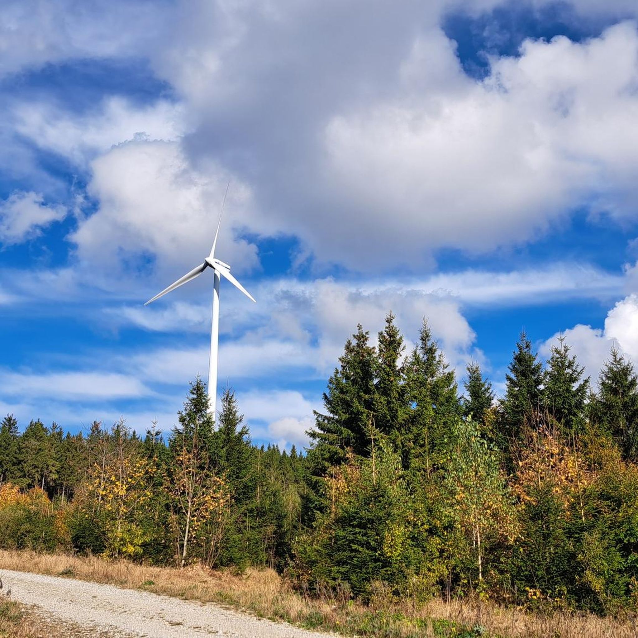
Other adventures around Vorderweißenbach

Tips from the Community

This little square was planned and built by Willi Fröhlich in 2006 with the support of the Prince Starhemberg Family Foundation and the Vorderweißenbach Beautification and Village Development Association. As the name suggests, it is located at 1,000 meters above sea level and offers a beautiful view to the south.
2
0

A story that gets under your skin
1
0

The wooden cross was replaced by a granite cross in 1902.
5
0
Originally there was a wooden cross on this spot.
2
0
Water source: It is unclear whether the water runs year-round.
5
0
Forest inn on the southern slope of the Sternstein at 960 m above sea level in an absolutely quiet location.
6
0
Forest inn on the southern slope of the Sternstein at 960 m above sea level in an absolutely quiet location.
6
0
Frequently Asked Questions
How many hiking trails are available around Vorderweißenbach?
There are over 70 hiking trails around Vorderweißenbach, catering to various skill levels. This includes 29 easy routes, 41 moderate paths, and 4 more challenging trails.
Are there any easy, family-friendly hikes in Vorderweißenbach?
Yes, Vorderweißenbach offers several easy routes suitable for families. A good option is the 1000-Meter Spot – Sternstein Observation Tower loop from Sternstein, which is 3.3 miles (5.2 km) long and features an observation tower for panoramic views.
What are the options for circular walks in the area?
Many trails around Vorderweißenbach are designed as circular routes. For example, the Platzl (1,060 m) – 1000-Meter Spot loop from Sternstein is a moderate 5.5-mile (8.9 km) circular path that takes you through elevated terrain with varied scenery.
Can I find hikes with viewpoints in Vorderweißenbach?
Absolutely. The region is known for its elevated viewpoints. The 1000-Meter Spot – Sternstein Observation Tower loop from Sternstein specifically includes an observation tower offering extensive panoramic views of the surrounding landscape.
Are there any longer or more challenging hikes for experienced hikers?
While most trails are easy to moderate, there are a few longer options. The Forest tavern at the Sternstein – Platzl (1,060 m) loop from Walz is a moderate 6.1-mile (9.8 km) trail that leads through forested hills and past a forest tavern, providing a longer experience.
What kind of natural attractions can I explore near the hiking trails?
Near Vorderweißenbach, you can explore various natural attractions. Highlights include the View of the Lipno Reservoir and the Lipno Treetop Walkway. There's also the Hirtstein Rock Formation (844 m), which is a notable natural monument.
Are there any trails that include a stop at a pub or tavern?
Yes, some routes offer opportunities for refreshments. The Forest tavern at the Sternstein – Platzl (1,060 m) loop from Walz passes by a forest tavern, making it a good choice if you're looking for a stop along your hike.
What do other hikers say about the trails in Vorderweißenbach?
The trails in Vorderweißenbach are highly rated by the komoot community, with an average score of 4.5 stars from over 800 reviews. Hikers often praise the serene natural environment, the rolling forested hills, and the well-maintained paths.
Is Vorderweißenbach suitable for winter hiking?
Vorderweißenbach's landscape of rolling forested hills can be beautiful in winter. While specific winter-maintained trails are not detailed, the gentle slopes and forest cover can offer pleasant winter walks, though conditions should always be checked for snow and ice.
Are there any specific trails that are dog-friendly?
Many trails in Vorderweißenbach are suitable for dogs, given the natural environment of forested hills and open meadows. It's always recommended to keep dogs on a leash, especially near wildlife or livestock, and to check local regulations for specific routes.
What is the best time of year to go hiking in Vorderweißenbach?
The best time to hike in Vorderweißenbach is typically from spring through autumn. During these seasons, the weather is generally mild, and the forested hills and open meadows are at their most vibrant, offering pleasant conditions for exploration.
Are there any trails that lead to interesting landmarks or points of interest?
Yes, several trails offer access to points of interest. For instance, the Forest tavern at the Sternstein – Sternstein Observation Tower loop from Sternstein leads to the Sternstein Observation Tower, a prominent landmark offering great views.
Most popular routes around Vorderweißenbach
Most popular attractions around Vorderweißenbach

Get inspired with the komoot mobile app


Explore more
Browse the best Hikes in other regions.
