The best walks and hikes around Øyer
4.4
(158)
1,116
hikers
52
hikes
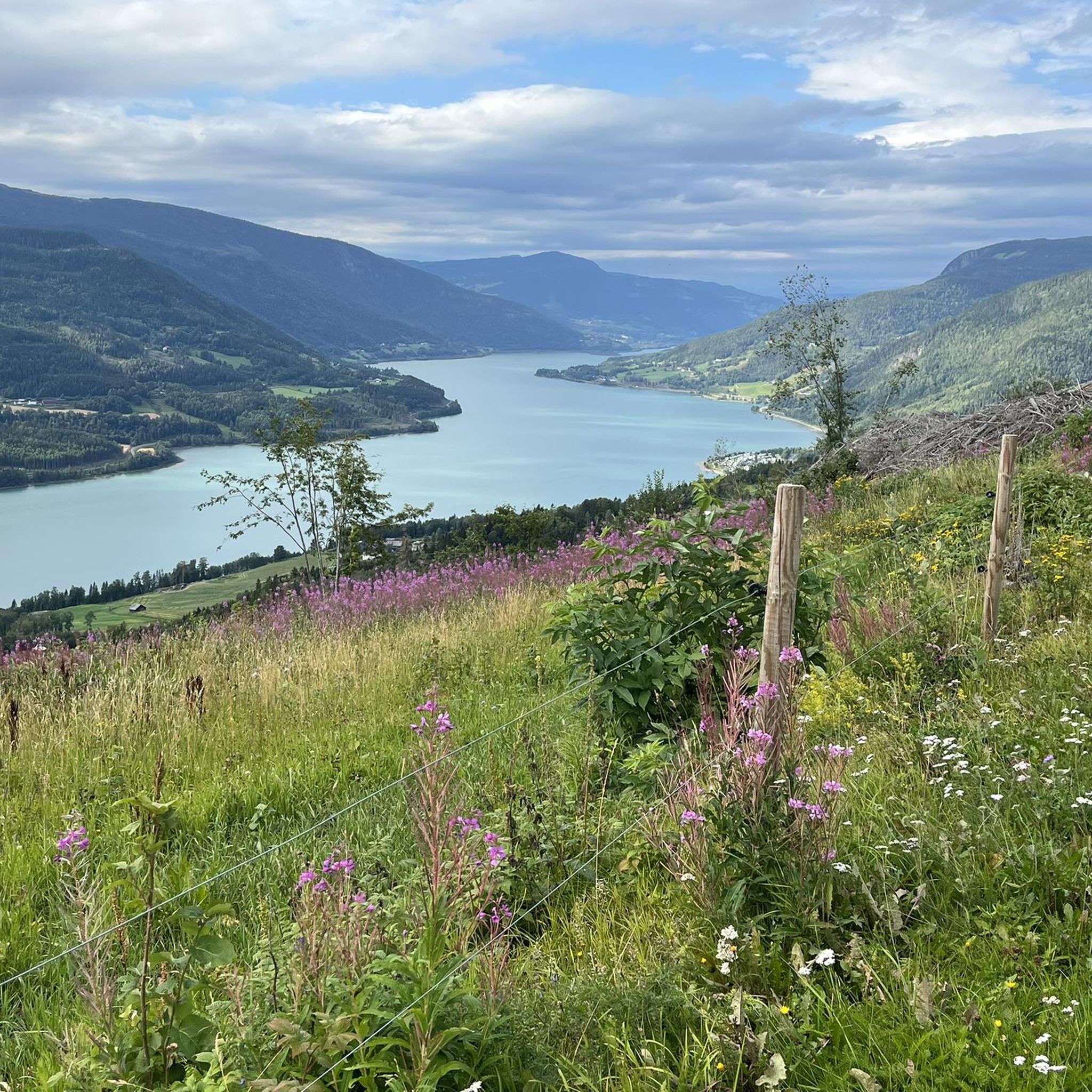
Hiking around Øyer offers diverse experiences across its varied natural landscapes. The region features expansive mountain areas with elevations ranging up to 1232 meters, characterized by gentle slopes, rounded hills, and elevated plateaus. Large sections are covered with birch forests, extending up to 1000 meters above sea level, alongside numerous lakes and mountain farm communities. This terrain provides a wide array of trails suitable for different skill levels.
Best hiking trails around Øyer
- The most popular hiking route is Panoramastien - Hafjell, a 5.7 miles (9.2 km) trail that takes 3 hours 20 minutes to complete. This route offers scenic views from the Hafjell area.
- Another top favourite among local hikers is Neveltoppen – Nevelfjellhytta loop from Hafjell, a moderate 4.9 miles (7.8 km) path. This trail explores the area around Nevelfjell, known for its panoramic vistas.
- Local hikers also love the Nevelfjellhytta – Neveltoppen loop from Sørlia, a 13.2 miles (21.2 km) trail leading through mountainous terrain and forests, often completed in about 6 hours 20 minutes.
- Hiking around Øyer is defined by mountainous terrain, birch forests, and picturesque lakes, with trails connecting to elevated plateaus. The network offers options for various ability levels, from easy strolls to more challenging mountain ascents.
- The routes in Øyer are highly rated by the komoot community with an average score of 4.3 stars from over 120 reviews. More than 970 hikers have used komoot to explore Øyer's varied terrain.
Last updated: August 27, 2026
4.8
(4)
19
hikers
9.23km
03:20
450m
450m
Moderate hike. Good fitness required. Mostly accessible paths. Sure-footedness required.
5.0
(2)
12
hikers
17.2km
05:47
860m
670m
Hard hike. Very good fitness required. Easily-accessible paths. Suitable for all skill levels.

Sign up for free
3.5
(2)
8
hikers
5.12km
02:11
450m
450m
Moderate hike. Good fitness required. Easily-accessible paths. Suitable for all skill levels.
4.6
(19)
128
hikers
7.72km
02:29
180m
180m
Moderate hike. Good fitness required. Mostly accessible paths. Sure-footedness required.
5.0
(2)
55
hikers
7.52km
02:28
180m
180m
Moderate hike. Good fitness required. Mostly accessible paths. Sure-footedness required.
Get access to more routes and recommendations from other explorers.
Sign up for free
Already have an account?
Our route recommendations are based on thousands of hikes, rides, and runs completed by other people on komoot.
Start today with a free account
Your next adventure awaits.
Login or Signup
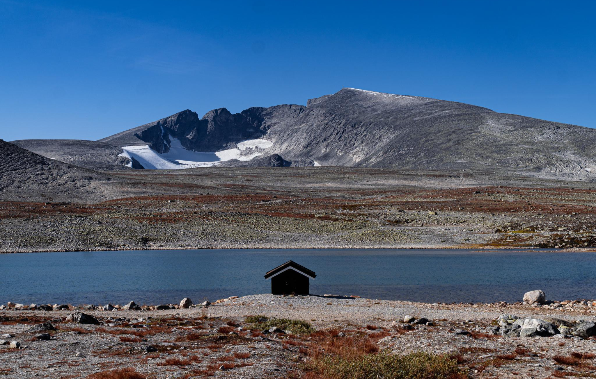
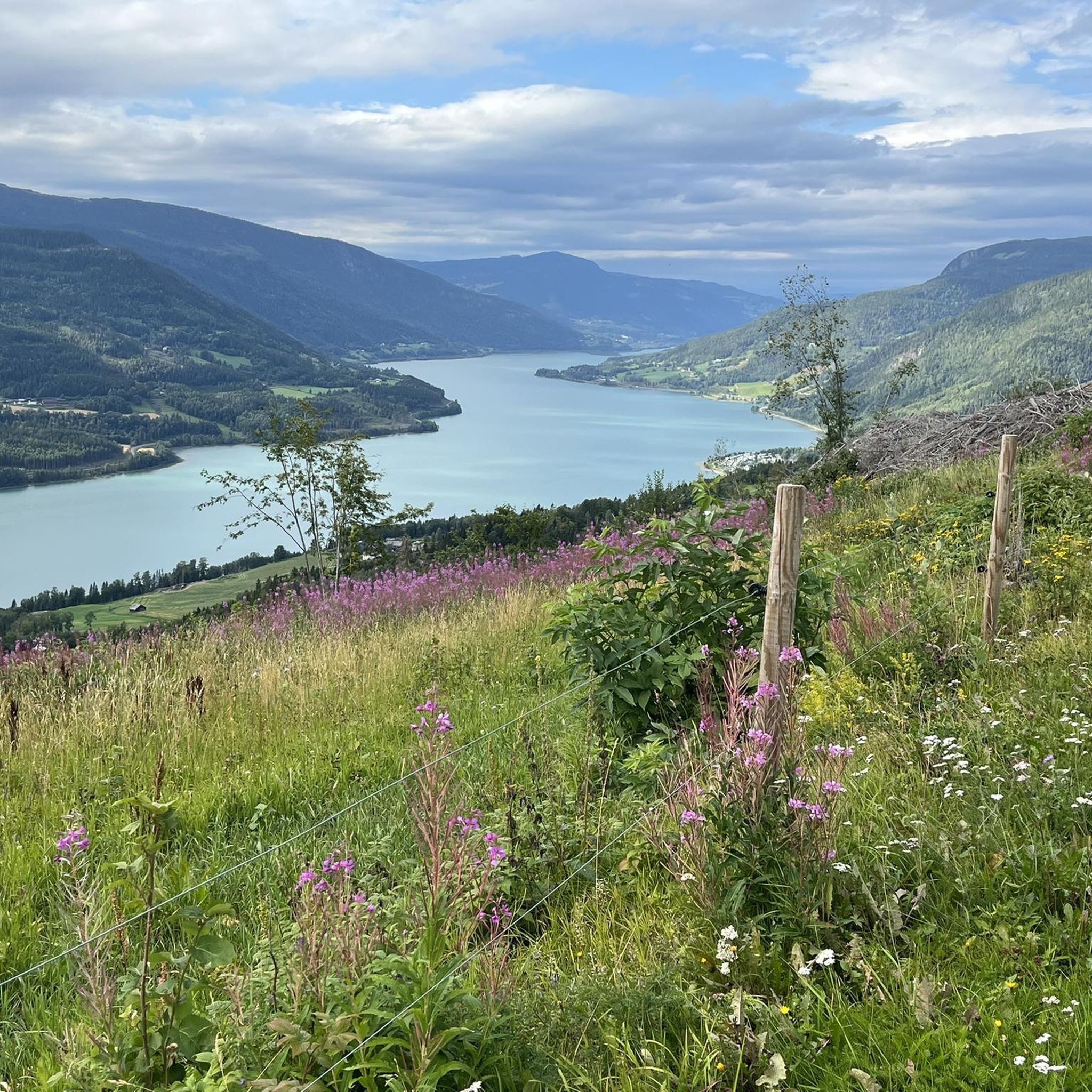

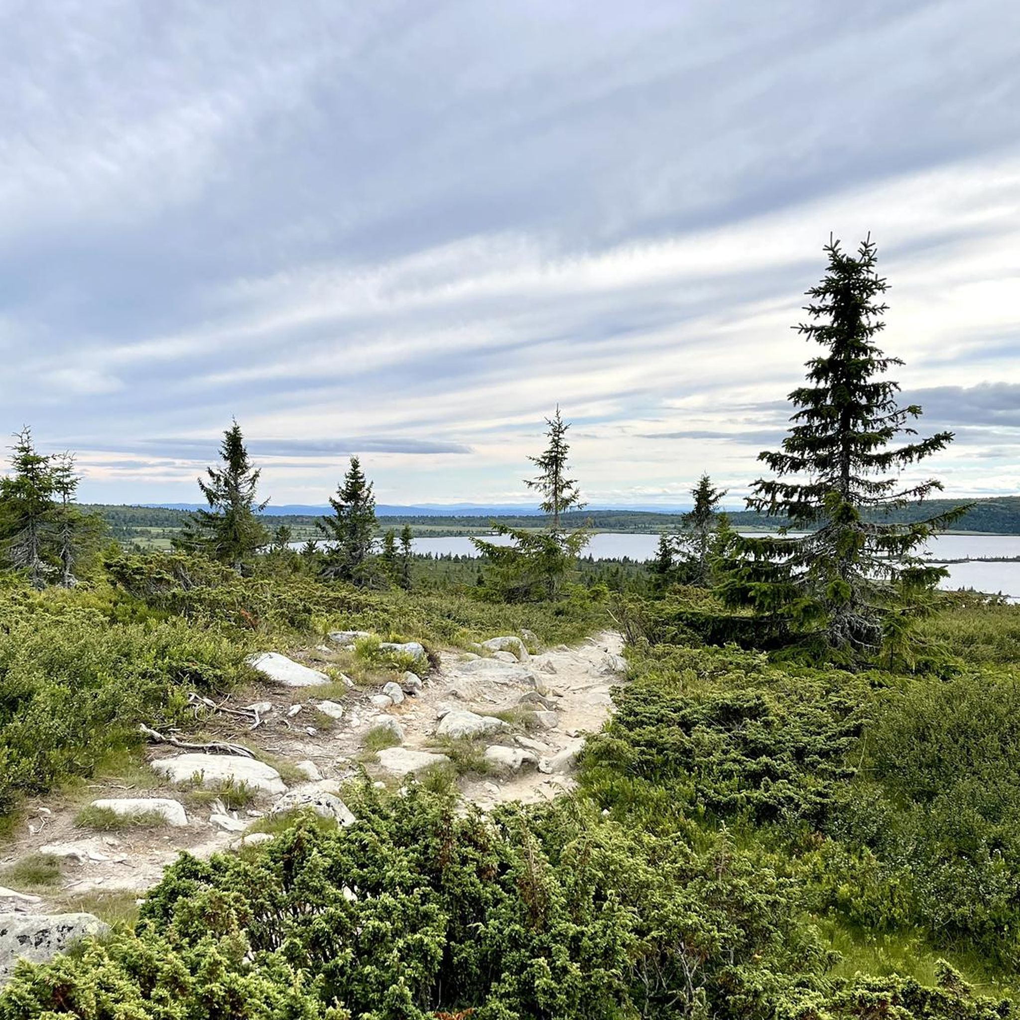
Other adventures around Øyer

Tips from the Community

This is a very convenient bench with a great view over Jemne Fjord. It is simply a great rest spot, and in the spring and early summer it is also awash with wildflowers.
0
0
This is a beautiful little spot, nestled in beautiful woodland with a scenic waterfall and quaint bridge that gives a quiet, tranquil setting. It is a lovely place to take a rest break.
0
0
Historically St Olav’s Way was one of the most important pilgrim routes in medieval times alongside those to Rome, Jerusalem and Santiago. There are seven trails in total that cover a vast network, and this is but one small section, part of the 643 km-long Gudbrandsdalsleden route that goes from Oslo to Trondheim.
0
0

Along the trail you get a beautiful view of the waterfall. A great spot to pause for a moment, listen to the sound of the water and take a photo before moving on.
0
0
On your way to the top you can take a short turn to the right. From here you have a beautiful view over the valley and the lake. Definitely worth the small detour before continuing your climb.
0
0

The Svarverud nature reserve is located on the steep slope up to Svarverudberget, on the border between the municipalities of Øyer and Lillehammer. A lush elm and lime forest grows here.
0
0


The shelter, which was lovingly restored in 2021, offers wonderful protection from the rigors of nature in icy winds ;-).
0
0
Frequently Asked Questions
How many hiking trails are available in Øyer?
Øyer offers a wide variety of hiking experiences, with over 50 routes documented on komoot. These trails cater to all skill levels, from easy strolls through birch forests to more demanding mountain ascents.
Are there easy hiking trails suitable for beginners or families in Øyer?
Yes, Øyer has plenty of easy trails perfect for families and beginners. Approximately 23 of the routes are rated as easy. Many trails around Hafjell and the lower slopes of Nevelfjell are known for being family-friendly, offering gentle walks with rewarding views. The region's landscape of gentle mountain slopes and rounded hills makes it accessible for various fitness levels.
What are some good options for more challenging hikes in Øyer?
For those seeking a challenge, Øyer offers several difficult routes, with 5 trails rated as such. An example is the Nevelfjellhytta – Neveltoppen loop from Sørlia, a 13.2-mile (21.2 km) trail that takes approximately 6 hours 20 minutes to complete. These routes often lead through mountainous terrain and forests, providing significant elevation gain and panoramic vistas.
Can I find circular hiking routes in Øyer?
Yes, many of the trails in Øyer are designed as circular routes, allowing you to start and end at the same point. For instance, the Nevelfjellhytta – Neveltoppen loop from Hafjell is a moderate 4.6-mile (7.4 km) circular path that explores the area around Nevelfjell, known for its magnificent views.
Are there any scenic viewpoints or natural attractions to see while hiking in Øyer?
Øyer is rich in scenic viewpoints and natural attractions. Many trails lead to breathtaking vistas of the Gudbrandsdalen valley and distant mountain ranges like Rondane and Jotunheimen. Notable peaks include Neveltoppen and Reinsfjellet. The region also features picturesque lakes and mountain farm communities, with opportunities for swimming in warmer months.
Are the hiking trails in Øyer dog-friendly?
Generally, the natural landscapes of Øyer are welcoming for dogs, making most trails dog-friendly. However, it's always advisable to keep dogs on a leash, especially in areas with livestock or protected wildlife. Be mindful of local regulations and ensure your dog is well-behaved around other hikers and nature.
What is the best time of year to go hiking in Øyer?
The best time for hiking in Øyer is typically during the warmer months, from late spring to early autumn (May to September). During this period, the trails are clear of snow, the birch forests are lush, and the weather is generally pleasant for outdoor activities. The mountain lakes also offer refreshing swimming opportunities.
Are there places to stay or rest along the hiking routes in Øyer?
Yes, the Øyer mountains feature several huts and cabins that provide amenities for hikers. You can find places like Nevelfjellhytta, DNT Djupslia, and Pellestova. These can serve as excellent rest stops or even overnight accommodations for longer treks.
How long do hikes in Øyer typically take?
Hiking durations in Øyer vary greatly depending on the trail's length and difficulty. Shorter, easy walks might take an hour or two, while moderate trails like Panoramastien - Hafjell (5.7 miles / 9.2 km) typically take around 3 hours 20 minutes. More difficult and longer routes can extend to 6 hours or more.
What do other hikers say about the trails in Øyer?
The hiking trails in Øyer are highly rated by the komoot community, with an average score of 4.3 stars from over 120 reviews. Hikers often praise the diverse landscapes, the well-marked paths, and the stunning panoramic views, particularly from peaks like Nevelfjell and Mosetertoppen.
Are there less crowded hiking options in Øyer?
While popular spots like Hafjell and Nevelfjell can attract visitors, Øyer's expansive mountain areas and numerous trails mean you can often find quieter paths. Exploring some of the less-traveled routes or visiting during off-peak hours can lead to a more serene hiking experience amidst the birch forests and elevated plateaus.
Is public transport available to access hiking trails in Øyer?
Information on specific public transport links directly to trailheads can vary. It's recommended to check local bus schedules or regional transport options for connections to key areas like Hafjell or Nordseter, which serve as starting points for many hikes. Many visitors opt for personal vehicles to reach more remote trailheads.
Where can I find parking for hiking trails in Øyer?
Many popular trailheads and mountain areas in Øyer, such as those around Hafjell, Nordseter, and Sjusjøen, offer designated parking facilities. It's common for mountain farm communities and ski resorts (which transform into hiking hubs in summer) to provide parking for hikers. Always look for marked parking areas to ensure proper access and avoid obstructing local traffic.
Most popular attractions around Øyer

Get inspired with the komoot mobile app


Explore more
Browse the best Hikes in other regions.
