The best walks and hikes around Vågsøy
4.6
(486)
1,916
hikers
40
hikes
Hiking around Vågsøy offers diverse natural landscapes, characterized by a rugged coastline, high cliffs, and golden beaches. The region is situated at the end of the Nordfjord, presenting a blend of fjord and mountainous scenery. Trails traverse varied terrain, including forests, open fields, and rugged mountaintops, providing options for different fitness levels.
Best hiking trails around Vågsøy
- The most popular hiking route is Veten, Brurahornet and Gottrøysa — triple summit loop, a 5.1 miles (8.2 km) trail that takes 3 hours 24 minutes to complete. This moderate route connects three summits, offering expansive views of the surrounding landscape.
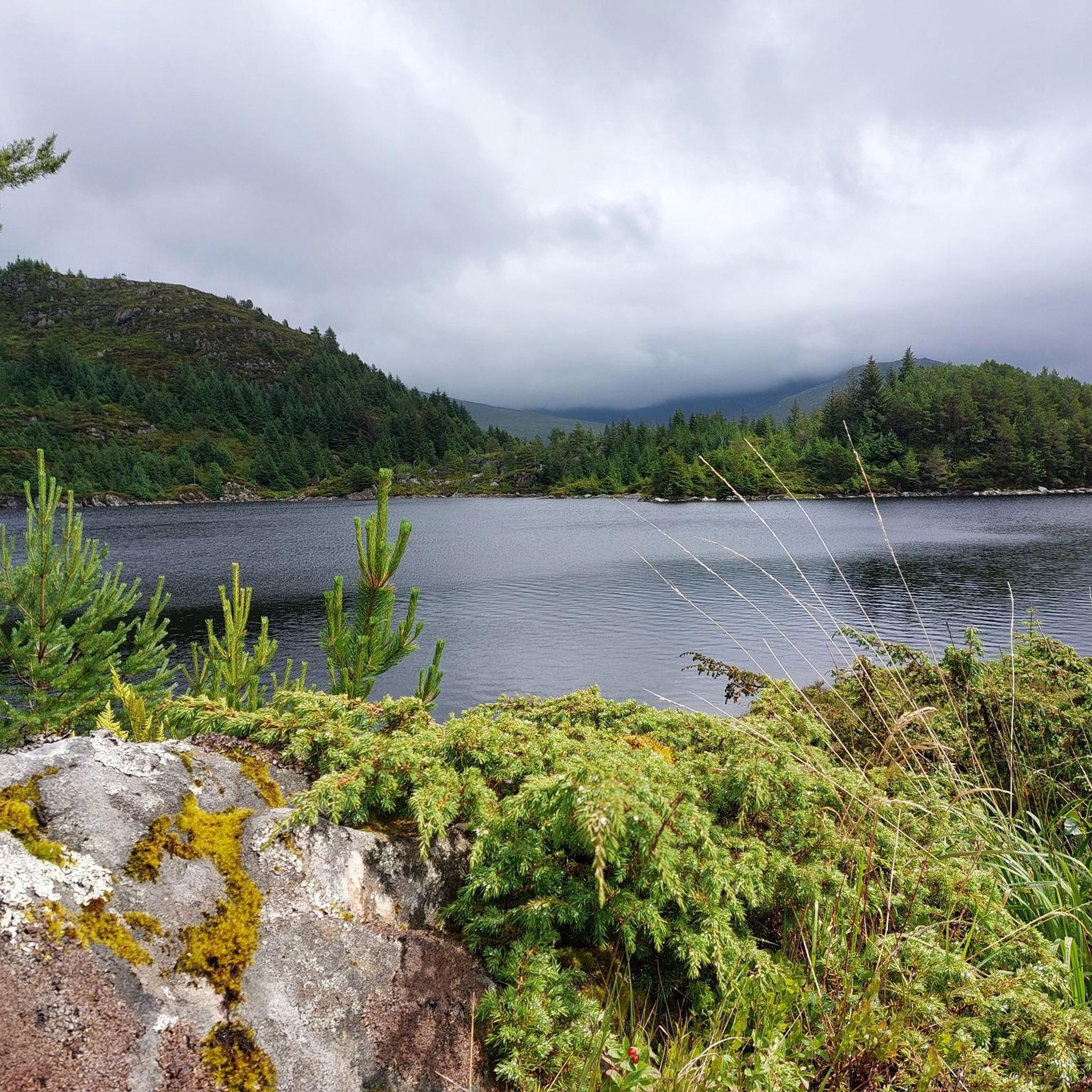
- Another top favourite among local hikers is View of the Reservoir – View of Måløy and Måløy Bridge loop from Sør-Vågsøy kyrkje, an easy 4.0 miles (6.5 km) path. This trail provides scenic views of the reservoir, Måløy, and the Måløy Bridge.
- Local hikers also love the Veten Summit – View of the Reservoir loop from Sør-Vågsøy kyrkje, a 5.4 miles (8.7 km) trail leading through varied terrain to Veten Summit, often completed in about 3 hours 8 minutes.
- Hiking around Vågsøy is defined by rugged coastal scenery, fjord landscapes, and mountain ascents. The network offers options for different ability levels, from easy walks to more demanding multi-summit routes.
- The routes in Vågsøy are highly rated by the komoot community with an average score of 4.5 stars from over 390 reviews. More than 1,500 hikers have used komoot to explore Vågsøy's varied terrain.
Last updated: August 24, 2026
4.9
(8)
34
hikers
8.18km
03:24
670m
670m
Moderate hike. Good fitness required. Easily-accessible paths. Suitable for all skill levels.
5.0
(3)
15
hikers
5.66km
02:02
310m
310m
Moderate hike. Good fitness required. Easily-accessible paths. Suitable for all skill levels.

Sign up for free
4.5
(224)
804
hikers
Easy hike. Great for any fitness level. Easily-accessible paths. Suitable for all skill levels.
4.6
(65)
218
hikers
8.81km
03:11
520m
520m
Moderate hike. Good fitness required. Easily-accessible paths. Suitable for all skill levels.
4.5
(18)
95
hikers
7.20km
02:51
520m
520m
Moderate hike. Good fitness required. Easily-accessible paths. Suitable for all skill levels.
Get access to more routes and recommendations from other explorers.
Sign up for free
Already have an account?
Our route recommendations are based on thousands of hikes, rides, and runs completed by other people on komoot.
Start today with a free account
Your next adventure awaits.
Login or Signup
Popular around Vågsøy
Tips from the Community

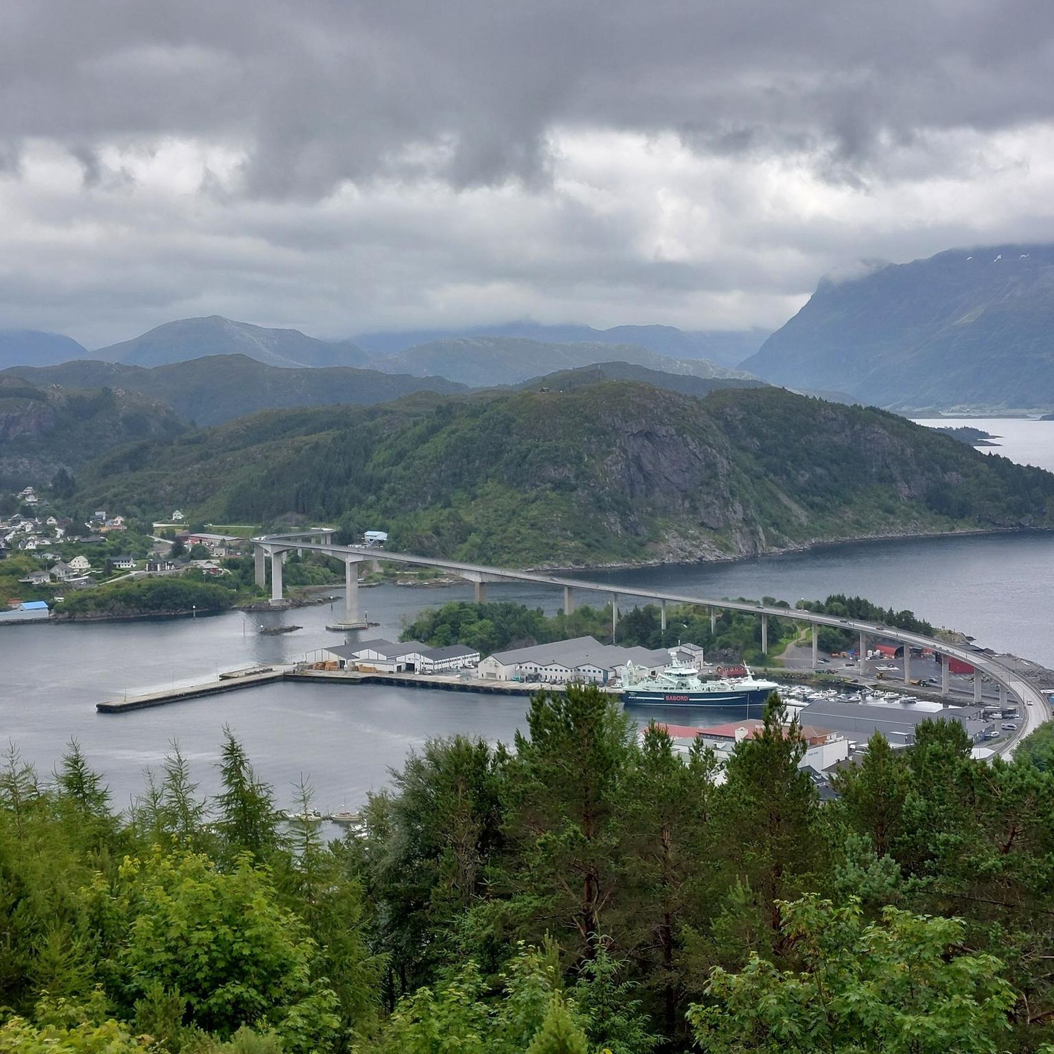
The heading is not correct. This is view of Måløy in Nordfjord. Not Balestrand in Sognefjorden.
1
0

The trail to Hesten is a very nice out-and-back five-kilometre route that is family friendly and gives you a route that does not have too much ascent if you are taking the children. It is also near the village of Vågsvåg, so it is accessible by public transport. Allow yourself a good two to three hours to complete the walk so you can enjoy the panoramic coastal views.
0
0
A trip to Hesten, otherwise known as "The Horse", is a great family-friendly trip due to its accessibility to Vågsvåg. It is a nice 330-metre-high summit that offers a great view of Einevarden and the village of Kvalheim. If you look eastwards, you can also see Vågsøy's highest mountain, Veten, which stands at 613 metres. It is a lovely summit, and it is marked by a beautiful stone cairn.
0
0

Here, you will find a viewpoint cairn. At the viewpoint, you are rewarded with a nice view towards Måløy.
0
0
This rock formation forms a natural shelter you pass on your mountain hike.
0
0

The climb from the parking lot to Kjeretoppane is no problem. After that, the trail to the summit of Veten is very challenging. It climbs steeply and exposed, with no trail visible anywhere. There are good markers (red posts). Recommended only for experienced hikers.
0
0

Frequently Asked Questions
How many hiking trails are available in Vågsøy?
Vågsøy offers a diverse network of over 35 hiking trails, catering to various preferences and fitness levels. These include easy coastal walks, moderate loops, and more challenging mountain ascents.
What is the best time of year to go hiking in Vågsøy?
The best time for hiking in Vågsøy is typically during the warmer months, from late spring to early autumn (May to September). During this period, you'll experience milder weather, longer daylight hours, and more accessible trails. The dramatic coastal scenery is particularly stunning under the summer sun.
Are there easy hiking trails suitable for beginners or families in Vågsøy?
Yes, Vågsøy has several easy trails perfect for beginners or families. For instance, the View of the Reservoir – View of Måløy and Måløy Bridge loop from Sør-Vågsøy kyrkje is an easy 4.0-mile (6.5 km) path offering scenic views without significant elevation gain. Another option is the Small Lake with Water Lilies – Skongsneset Lighthouse loop from Setra, which is 3.4 miles (5.5 km) and also considered easy.
What unique natural landmarks can I see while hiking in Vågsøy?
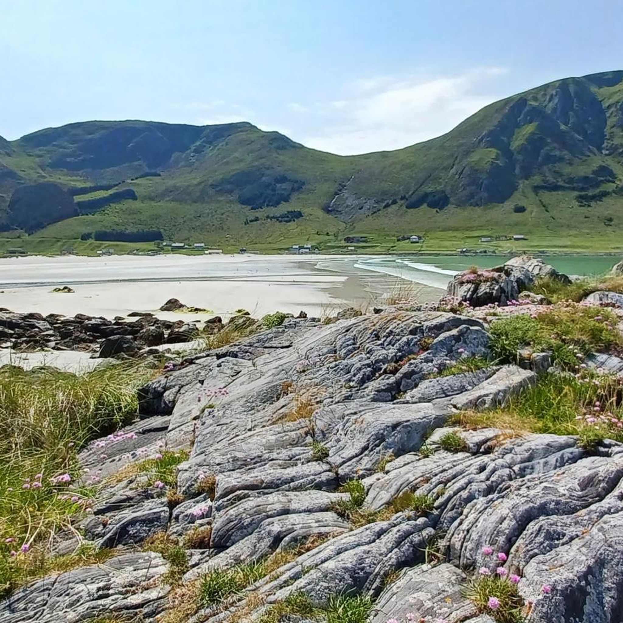
Vågsøy is home to several striking natural landmarks. You can visit the famous Kannesteinen Rock Formation, a mushroom-shaped rock sculpted by the sea. The region also boasts beautiful beaches like Refviksanden Beach and the secluded Vetvika Bay, offering dramatic coastal scenery.
Are there any trails with particularly good viewpoints in Vågsøy?
Many trails in Vågsøy lead to breathtaking viewpoints. The Veten, Brurahornet and Gottrøysa — triple summit loop offers expansive views from three different peaks. The Veten Summit – View of the Reservoir loop from Sør-Vågsøy kyrkje also takes you to Veten Summit, known for its panoramic vistas of the surrounding landscape and coastline.
Are Vågsøy's hiking trails dog-friendly?
Generally, Vågsøy's hiking trails are dog-friendly, allowing you to explore with your canine companion. However, it's always recommended to keep dogs on a leash, especially in areas with livestock or protected wildlife, and to follow local regulations regarding pet access.
Can I find circular hiking routes in Vågsøy?
Yes, Vågsøy offers several excellent circular hiking routes. The Veten, Brurahornet and Gottrøysa — triple summit loop is a popular moderate option connecting three summits. Another great choice is the View of the Reservoir – Veten Summit loop from Sør-Vågsøy kyrkje, which provides a varied loop experience.
What are the typical terrain and elevation changes like on Vågsøy's hiking trails?
Vågsøy's trails feature highly varied terrain, reflecting its dramatic blend of coastal and mountainous scenery. You can expect to traverse through forests, open fields, and rugged mountaintops. Elevation changes range from gentle slopes on coastal paths to significant ascents on multi-summit routes, with some trails requiring sure-footedness.
Is parking available at Vågsøy trailheads?
Parking is generally available at or near the trailheads for many popular hiking routes in Vågsøy. Specific parking information can often be found on individual route descriptions or local tourist information boards. It's advisable to check in advance for specific starting points.
How accessible are Vågsøy's hiking trails by public transport?
While some trailheads might be accessible by local bus services, many of Vågsøy's hiking trails, especially those in more remote areas, are best reached by car. Public transport options can be limited, so planning your journey and checking local schedules is recommended if you intend to rely on it.
What do other hikers enjoy most about hiking in Vågsøy?
The hiking experience in Vågsøy is highly rated by the komoot community, with an average score of 4.5 stars from over 390 reviews. Hikers frequently praise the region's dramatic coastal scenery, the sense of solitude, and the diverse terrain that offers everything from gentle walks to challenging mountain ascents with expansive views.
Are there challenging hikes for experienced trekkers in Vågsøy?
Yes, Vågsøy offers challenging options for experienced trekkers. The Veten, Brurahornet and Gottrøysa — triple summit loop is a moderate to challenging hike that connects three summits, involving significant elevation gain. While only one trail is officially rated 'difficult' in our data, many of the moderate mountain ascents provide a good challenge for those seeking more strenuous routes.
Most popular routes around Vågsøy
Most popular attractions around Vågsøy

Get inspired with the komoot mobile app


Explore more
Browse the best Hikes in other regions.
