The best walks and hikes around Leirfjord
4.5
(90)
588
hikers
15
hikes
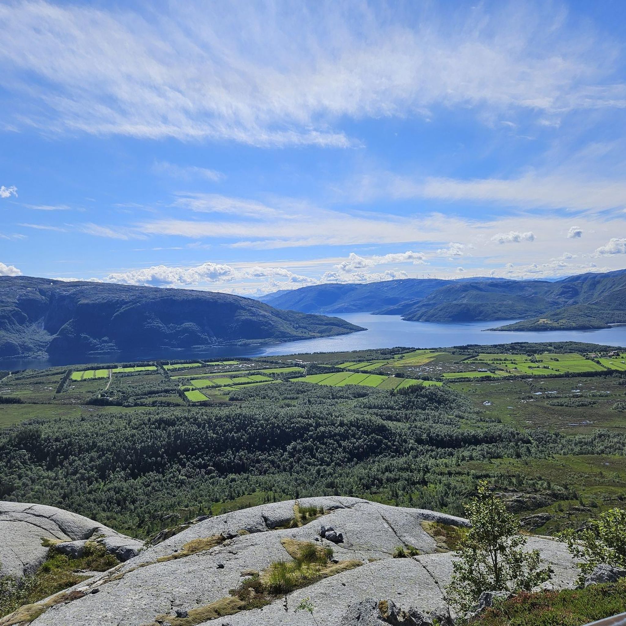
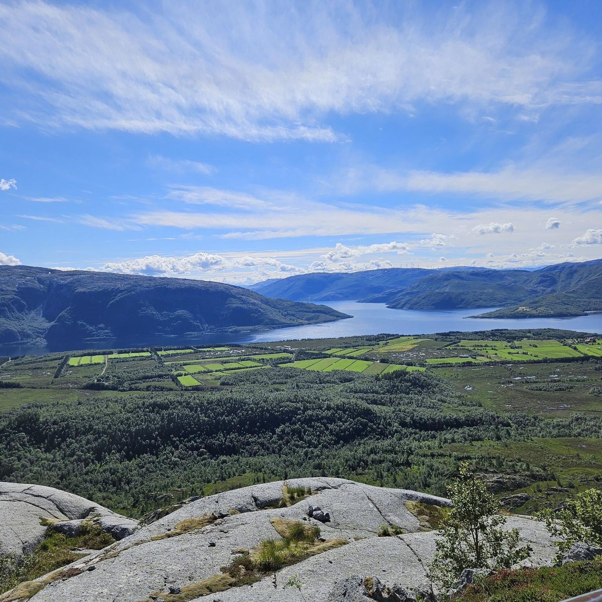
Hiking around Leirfjord offers a diverse landscape characterized by fjords, mountains, forests, rivers, and lakes. The region's topography provides varied opportunities for outdoor activities, from tranquil valley walks to challenging summit climbs. Hikers can expect panoramic views of the surrounding fjords, bridges, and distant islands. This natural abundance makes Leirfjord a prime location for exploring Norway's varied terrain.
Best hiking trails around Leirfjord
- The most popular hiking route is Dronningruta – Alsta, a difficult 7.4 miles (11.9 km) trail…
Last updated: June 24, 2026
4.6
(13)
72
hikers
11.9km
07:49
1,100m
1,100m
Hard hike. Very good fitness required. Mostly accessible paths. Sure-footedness required.
4.8
(8)
34
hikers
5.26km
02:28
390m
390m
Hike the moderate Reinesaksla Trail for 3.3 miles (5.3 km) to enjoy panoramic views of Leirfjord and the Helgeland coast.

Sign up for free
4.7
(15)
106
hikers
6.58km
03:46
650m
650m
Moderate hike. Good fitness required. Mostly accessible paths. Sure-footedness required.
4.0
(7)
31
hikers
4.04km
01:29
120m
120m
Moderate hike. Great for any fitness level. Mostly accessible paths. Sure-footedness required.
5.0
(2)
11
hikers
9.05km
05:17
910m
910m
Hard hike. Very good fitness required. Mostly accessible paths. Sure-footedness required.
Get access to more routes and recommendations from other explorers.
Sign up for free
Already have an account?
Our route recommendations are based on thousands of hikes, rides, and runs completed by other people on komoot.
Start today with a free account
Your next adventure awaits.
Login or Signup
Popular around Leirfjord
Tips from the Community

A dreamy spot: Crystal-clear water cascades from above, cascading into two small waterfalls into a natural pool. It collects there and flows out the other side. Ice-cold, but wonderful! Plus, an incredible view, either up to the mountain peaks or back to the Atlantic.
1
0

Grytfoten is the third highest summit in the Syv Søstre range, standing at 3,497 feet (1,066 m). It provides exceptional views across the surrounding landscape.
0
0
Grytfotvatnet is one of a few mountain lakes that you pass during the Dronningruta (Queen's Round). Nestled beneath Botnkrona and Grytfoten, the northernmost of the Syv Søstre, it's an incredibly impressive place.
0
1
Botnkrona is the northernmost and highest peak in the Syv Søstre (Seven Sisters), at 3,517 feet (1,072 m). It's often combined with neighbouring Grytfoten as part of the Dronningruta (Queen's Route), a classic loop that follows in the footsteps of Queen Sonja.
2
0
The final section to gain the plateau features a steep, scree-filled ravine, adding challenge to any ascent of Reinesaksla. There are little mountain pools to explore and magnficent views to take in.
0
0
Reinesaksla is a wonderful objective for a relatively short hike. The views from the top are glorious, particularly towards Alsta's Syv Søstre (Seven Sisters) and Dønna's Dønnmannen.
2
0
The initial ascent on the way to Reinesaksla climbs through beautiful woodland. As you zigzag upwards, clearings reveal superb views across to the peaks on Alsta, home to the magnificent Syv Søstre (Seven Sisters).
0
0

The climb is steep and short, easy to do with good footwear, a detour to the actual Reinesaksla should definitely be made for the amazing 360° view, the marked spot with a sign is much lower and does not offer the great view in all directions View of the town of Sandnessjøen (stop for the Hurtigruten ships) with the entire mountain range De Syv Søstre (Seven Sisters) and the countless large and small islands offshore, worth mentioning is the trip to the island of Dønna Descent took place via the "flatter" route that follows the summit "ridge" of Reinesaksla, crossing a narrow but deep gorge on the way, there is apparently an alternative route, but this only became apparent to us from below, there were no path markings on the way down Taking the route in this direction had two advantages for us. 1. The shorter, steeper path leads through forest and is therefore better protected from sun and wind. The goal is always in sight, as the stone tower of the summit is very exposed on the edge. 2. The flatter path as a descent offered us a wonderful view of the sea and islands the entire way. The path is completely in sunshine. When climbing this route, the view is always behind you. The ridge follows different steps, so that the actual goal only becomes visible on the xth last step.
1
0
Frequently Asked Questions
What kind of hiking trails can I expect in Leirfjord?
Leirfjord offers a diverse range of hiking experiences, from tranquil valley walks to challenging summit climbs. You'll find trails through forests, along rivers, and up mountains, providing panoramic views of fjords, bridges, and distant islands. The terrain varies, ensuring options for different ability levels.
Are there any easy hiking trails suitable for beginners or families in Leirfjord?
Yes, Leirfjord has several easy to moderate trails. For a relatively gentle experience, the Fjellsåsen loop from Alsta is a moderate 4.1 km path that takes about 1 hour 30 minutes. The hike to Reinesaksla is generally easy, though the final stretch is steep, offering stunning views without excessive difficulty.
What are some notable natural features or landmarks to look out for on Leirfjord hikes?
Leirfjord's trails often lead to spectacular natural features. You can discover waterfalls, such as the one near Markvollkulpen nature pool. Many routes offer views of the Helgeland Bridge, the iconic Seven Sisters mountain range, and distant islands. The Reinesaksla hike, for instance, provides breathtaking vistas of these landmarks.
Are there any circular hiking routes in Leirfjord?
Yes, there are several circular routes available. The Waterfall – View of the fjord and mainland loop from Alsta is a moderate 6.6 km circular trail. Another option is the Fjellsåsen loop from Alsta, which is a moderate 4.1 km path. For a more challenging circular experience, consider the Grytfoten Summit loop from Alsta.
What is the best time of year to go hiking in Leirfjord?
Leirfjord offers hiking opportunities year-round, but the experience varies by season. Summer (June-August) provides long daylight hours, including the midnight sun, and generally milder weather, ideal for most trails. Spring and autumn offer beautiful colors and fewer crowds. Some mountain trails, like Klampen, are enjoyable even in winter, though proper gear and conditions awareness are essential.
Can I find trails with waterfalls in Leirfjord?
Yes, Leirfjord's landscape includes scenic valleys with waterfalls. You can explore trails that lead to these natural features, such as the Waterfall – View of the fjord and mainland loop from Alsta. The Markvollkulpen nature pool with waterfall is a specific highlight to look for.
What do other hikers say about the trails in Leirfjord?
The hiking routes in Leirfjord are highly rated by the komoot community, with an average score of 4.5 stars from over 80 reviews. Hikers often praise the stunning panoramic views of fjords and mountains, the varied terrain, and the opportunity to experience Norway's natural beauty.
Are there any challenging or difficult hikes in Leirfjord for experienced hikers?
Absolutely. For experienced hikers seeking a challenge, the Dronningruta – Alsta is a difficult 11.9 km trail with significant elevation gain, taking nearly 8 hours to complete. Another demanding option is the Grytfoten Summit loop from Alsta, an 8.8 km difficult route through mountainous terrain.
Are there opportunities for wild camping or finding facilities along the trails?
While specific camping regulations should always be checked, some areas offer facilities. For instance, there is a Wild Camping Area with Toilets and Drinking Water by the Lake, which can be a convenient stop for hikers looking to extend their adventure.
What are the views like from the mountain peaks in Leirfjord?
The mountain peaks in Leirfjord offer truly spectacular panoramic views. From summits like Reinesaksla, you can see the Helgeland Bridge, the Seven Sisters mountain range, Dønnamannen, Lovund, and Træna. Higher peaks like Botnkrona Summit and Grytfoten Summit provide expansive vistas across the diverse landscape of fjords, islands, and mountains.
Are there any specific trails that offer views of the Helgeland Bridge?
Yes, the hike to Reinesaksla is particularly renowned for its breathtaking views of the Helgeland Bridge, along with the Seven Sisters mountain range and other distant islands. It's a popular spot for photography and enjoying the iconic scenery.
Most popular routes around Leirfjord
Most popular attractions around Leirfjord

Get inspired with the komoot mobile app


Explore more
Browse the best Hikes in other regions.
